Distance: 34.6 miles. Elevation: 2385 ft.
Jausiers is the second largest town (village?) in the Ubaye valley. Apart from the road south, downstream to Barcelonnette, there are five routes away from town, all of them going over the mountains, some more easily than others.
Roads out of Jausiers
Col de la Bonette (2,715 m) The only climb starting directly from Jausiers itself is the magnificent road south-eastwards over the Col de la Bonette and down to Saint-Étienne-de-Tinée
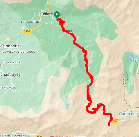
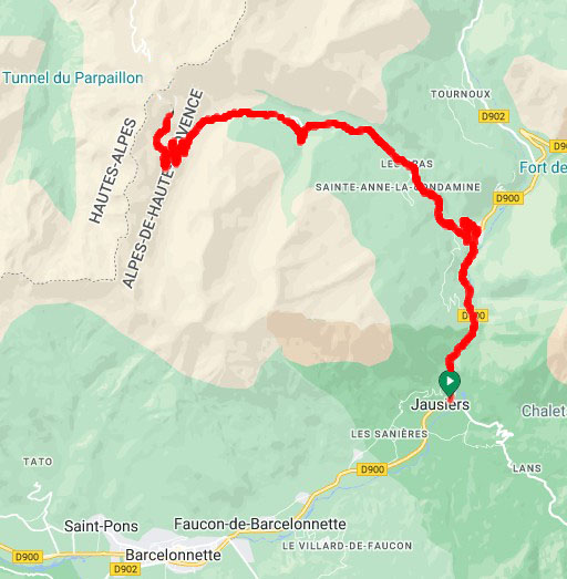
Col du Parpaillon (2,780 m) From La Condamine-Châtelard. The final 7 miles are gravel (nowadays very much chewed-up by the 4x4 brigade). I had planned to attempt it this year, but convinced myself it would be nearly impossible even on a gravel bike - I'm now focussing on the other side, from Embrun.
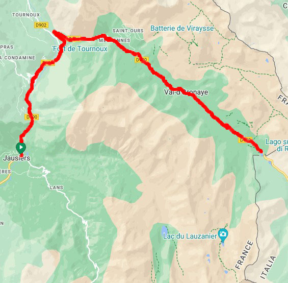
Col de Larche (1,996 m) The D900 follows the Ubayette valley to the Col de Larche and the Italian border (cyclists prohibited for a section)
Col de Vars (2,108 m) The D902 over the Col de Vars to Guillestre. I've only climbed the northern side of this one.
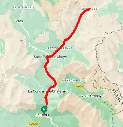
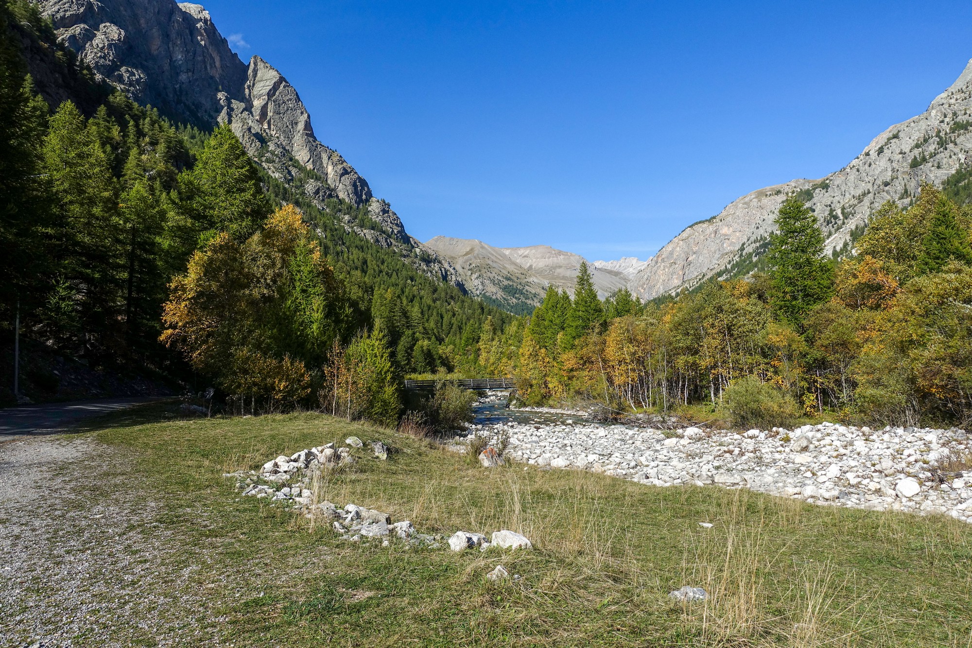
Today's ride to Maurin is based on the last of those routes and took me as far as I could go towards the upper end of the Ubaye Valley until the tarmac ended. The Google Streetview car hadn't been up this road so I had no idea what to expect. It turned out much more interesting than I could have imagined.
(addendum: Streetview footage is now available for that road, evidently supplied by a third party, Milbyz 360. So you can now use the map at the top of the page to view it)
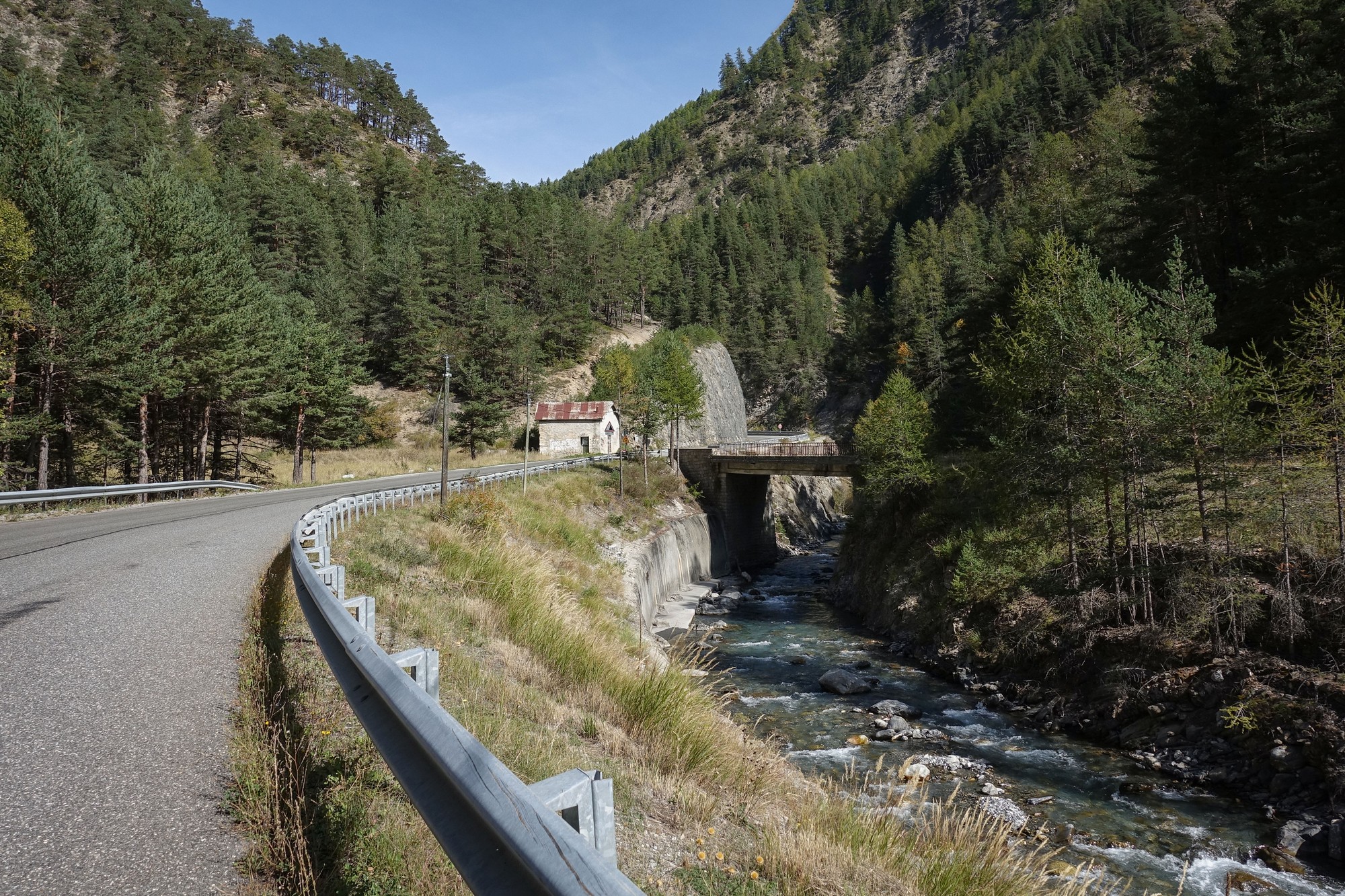
I left Jausiers at 1:20 PM on a beautiful sunny afternoon, wearing a short sleeved jersey. As usual I had a banana before leaving. The first eight miles along the D902 Col de Vars road follow the river Ubaye upstream.
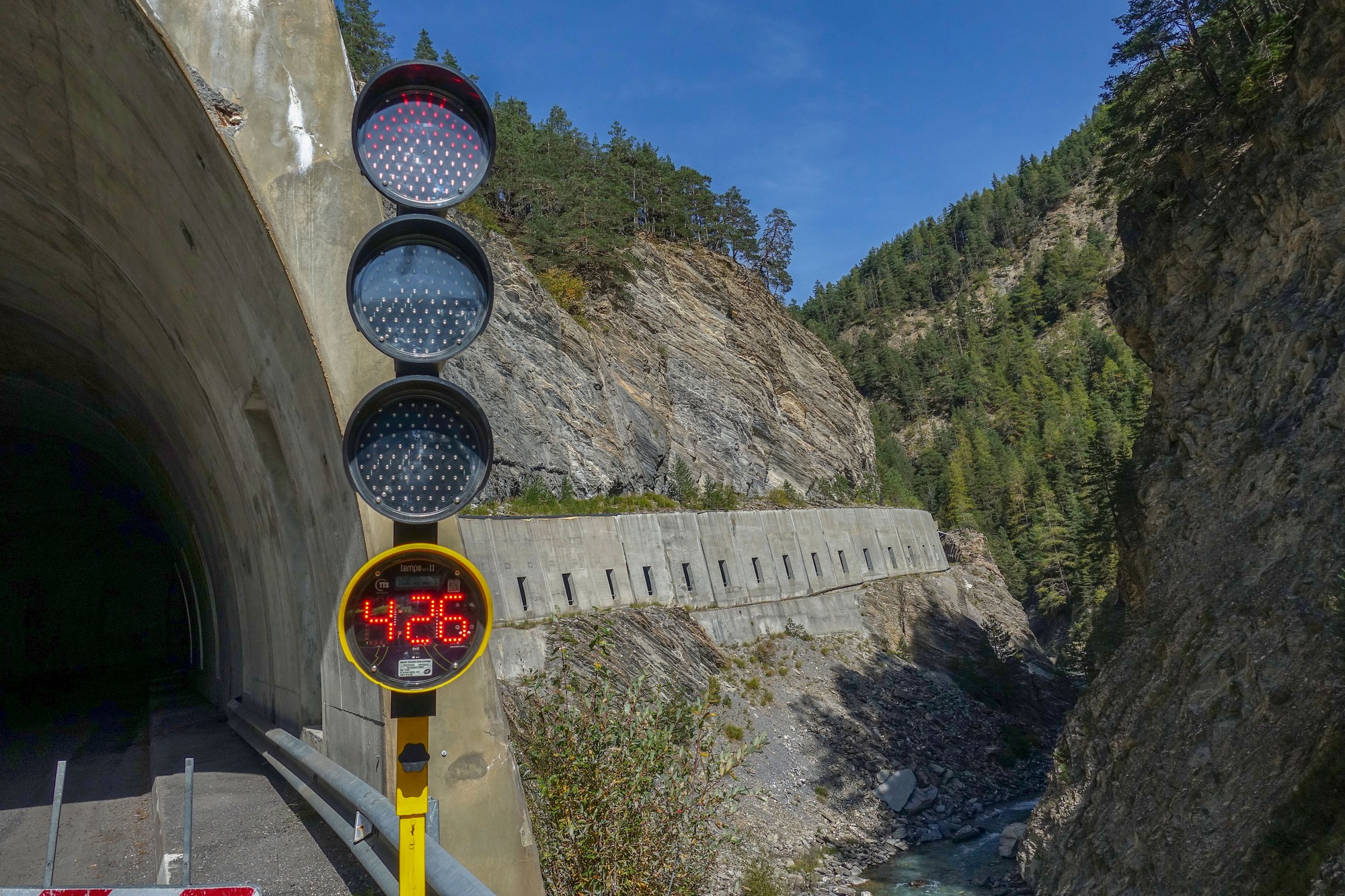
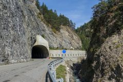
Resurfacing work in the Tunnel de la Reyssole meant there was a one-way system in operation. To give an idea of how little traffic there was, only one car and three motorbikes pulled up behind me during the 4½ minutes I was waiting at the red light.
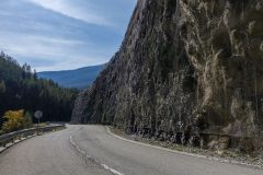
Waiting there for four minutes allowed me to stand and study the steel netting covering the rock face next to me.
There were loads of instances of rocks being trapped under the netting at various places higher up, causing further rocks to pile up behind those, forming big clumps of rocks under the mesh. I wonder if they ever 'empty the nets'!
Shortly after the tunnel, at Saint-Paul-sur-Ubaye, I turned onto the D25 which continues to follow the Ubaye valley.
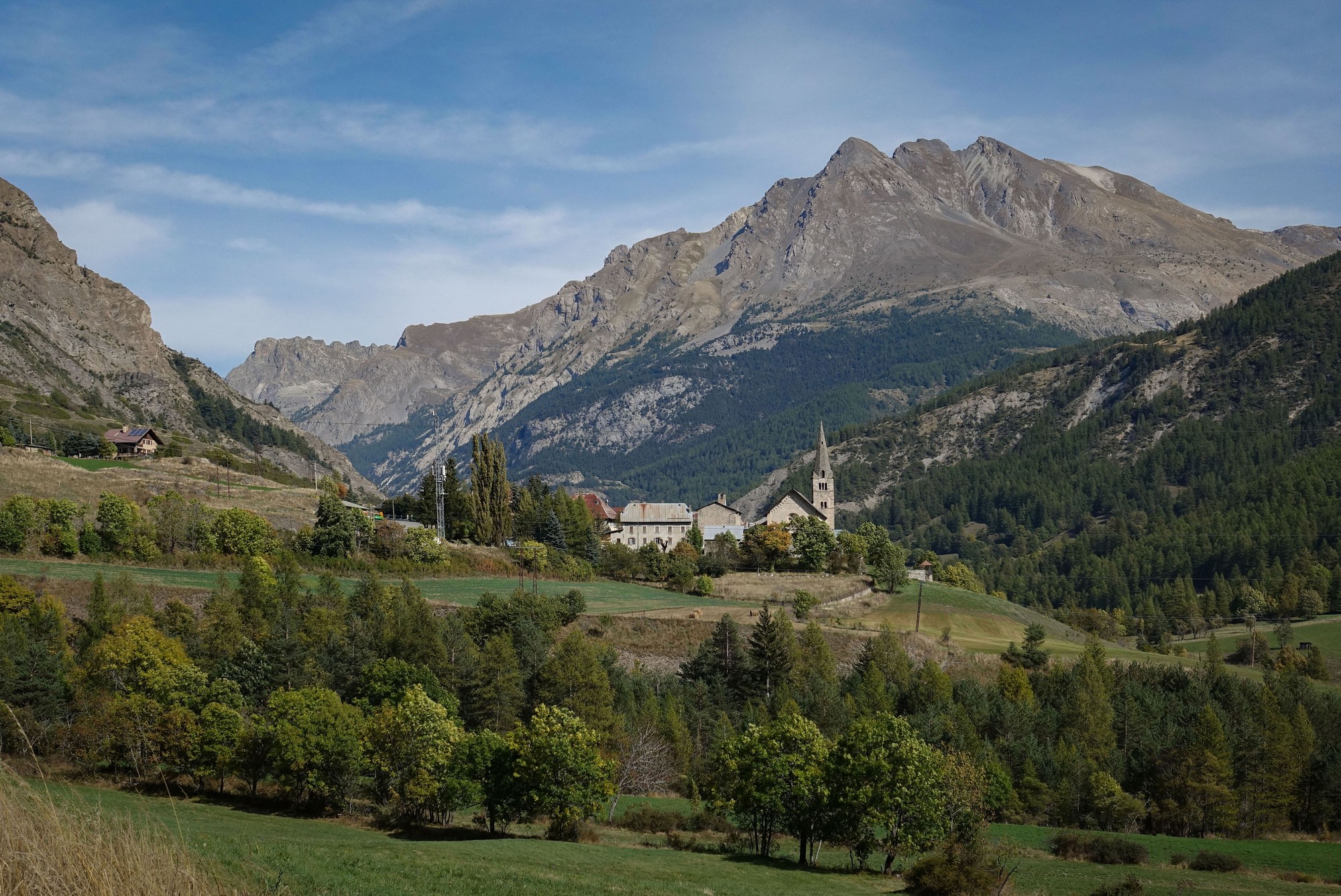
The road starts to rise above the river, through the next hamlet of Pont de l'Estrech.
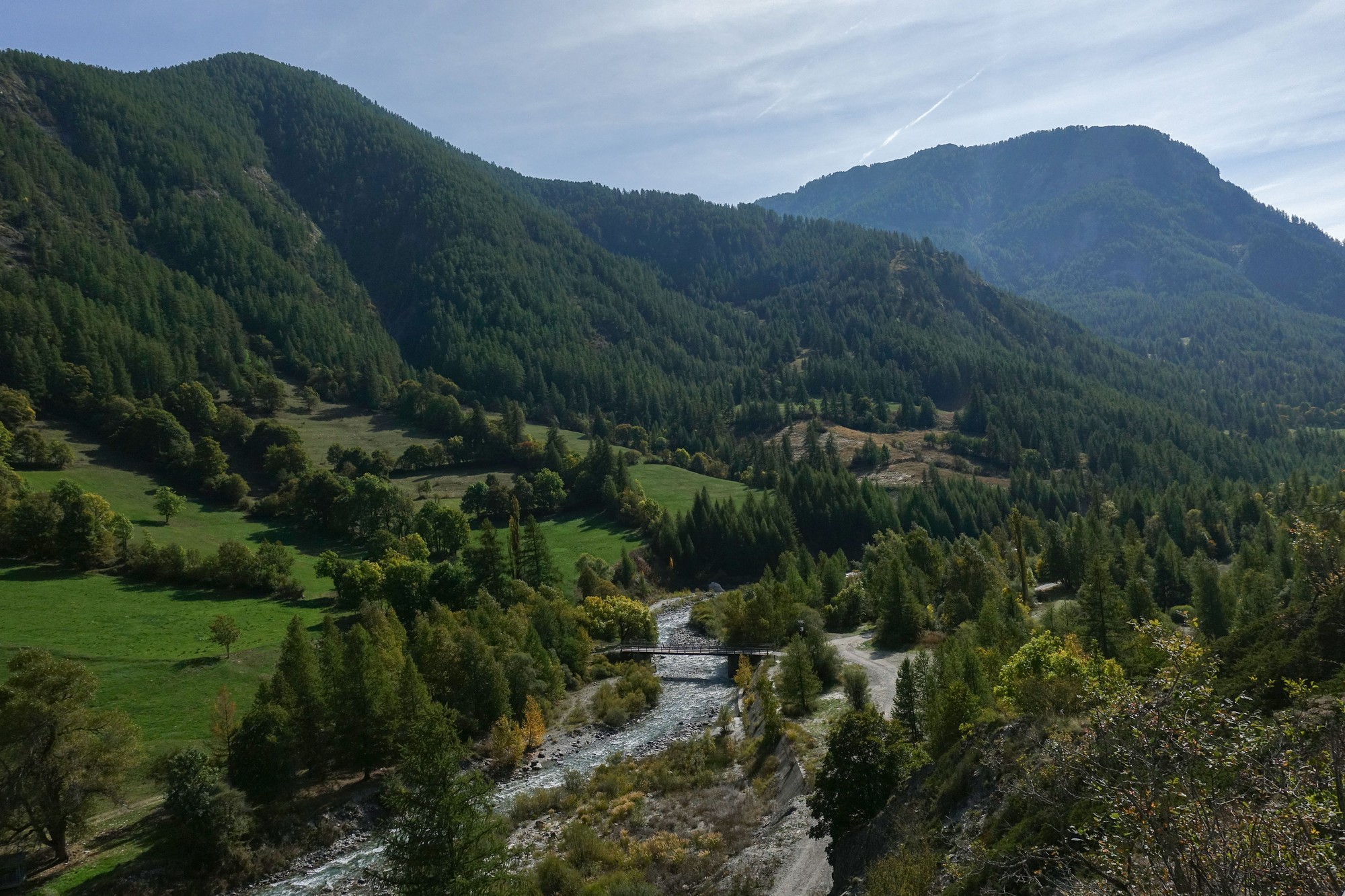
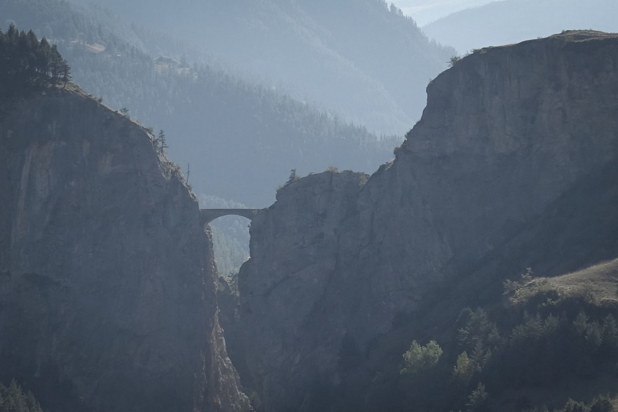
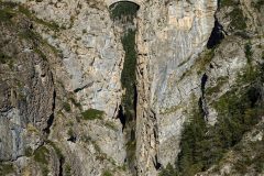
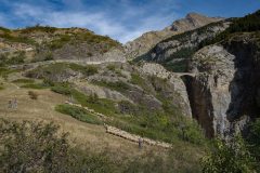
One feature of this valley I'd read about before making this trip was le Pont de Châtelet, a small bridge spanning a deep fissure in the rocks, so I was on the lookout for that.
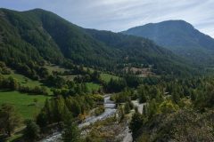
Through the next couple of hamlets, Petite Serenne and Grande Serenne, the road started to climb more steeply, and at last I caught sight of Pont de Châtelet through a gap in the trees.
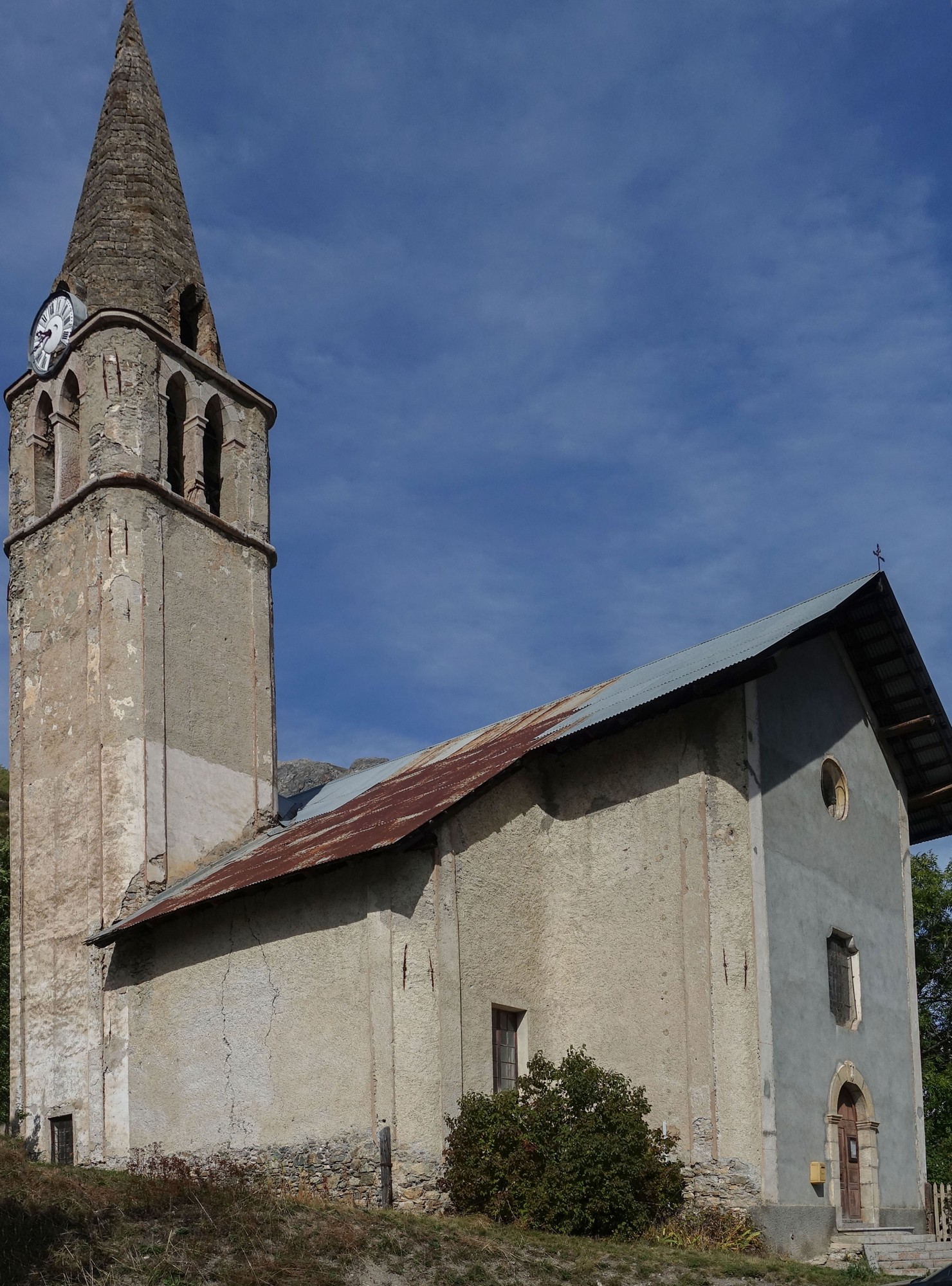
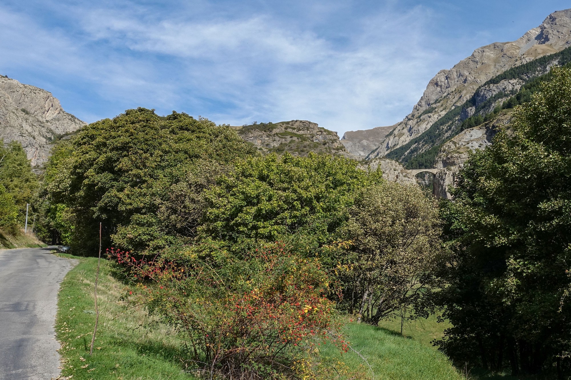
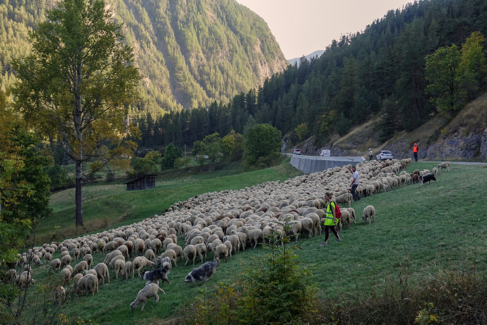
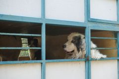
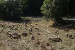
Every time I caught sight of the bridge I took another photo, in case there were no further views of it, but of course there were. The road swept around a field of sheep and I was happy to see the patou and his flock were all behind a fence. The dog didn't seem bothered by my riding past.
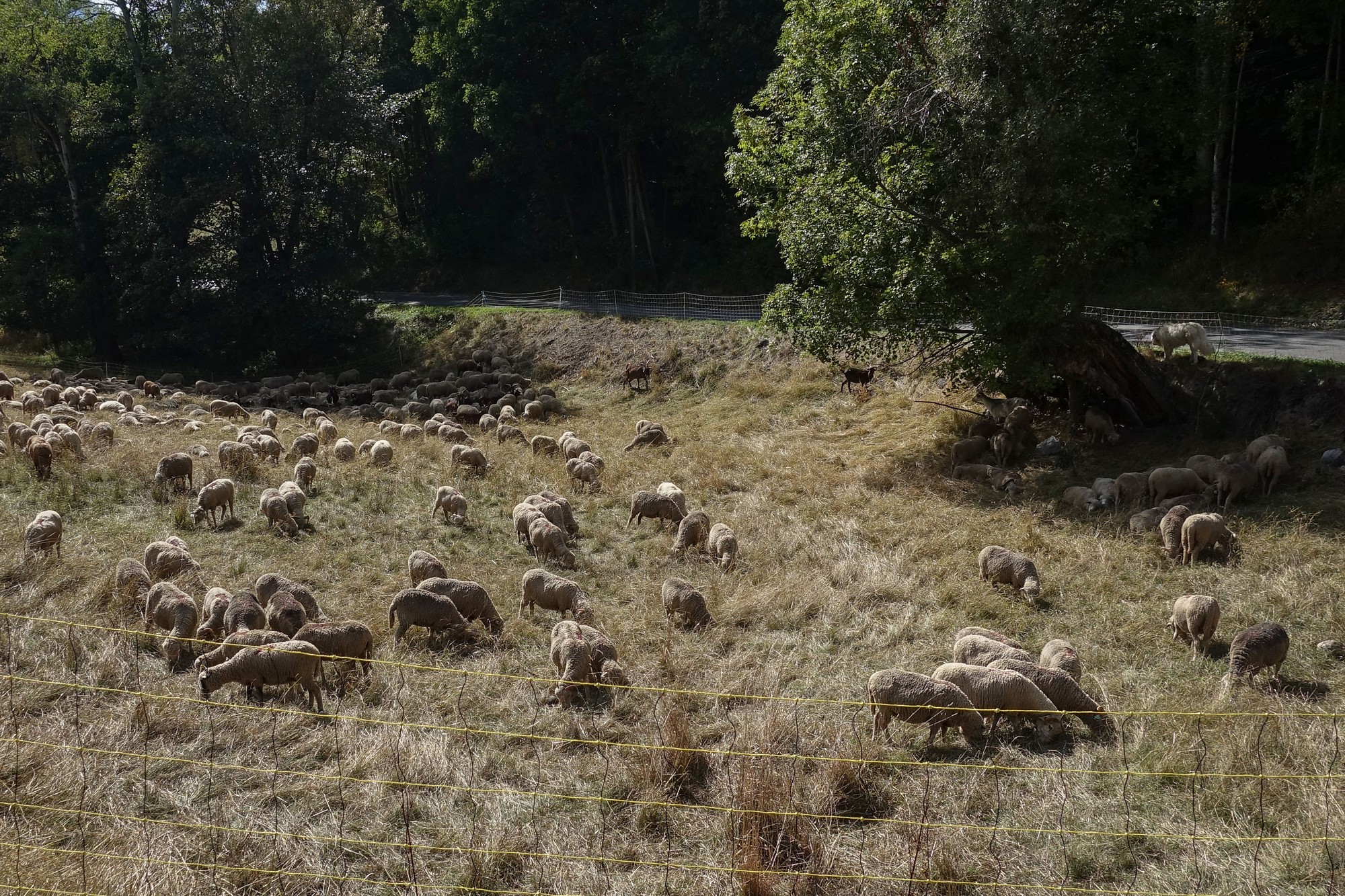
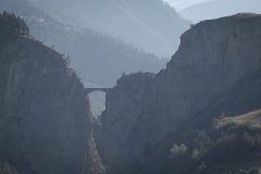
Soon there was a much better view of the Pont du Châtelet.

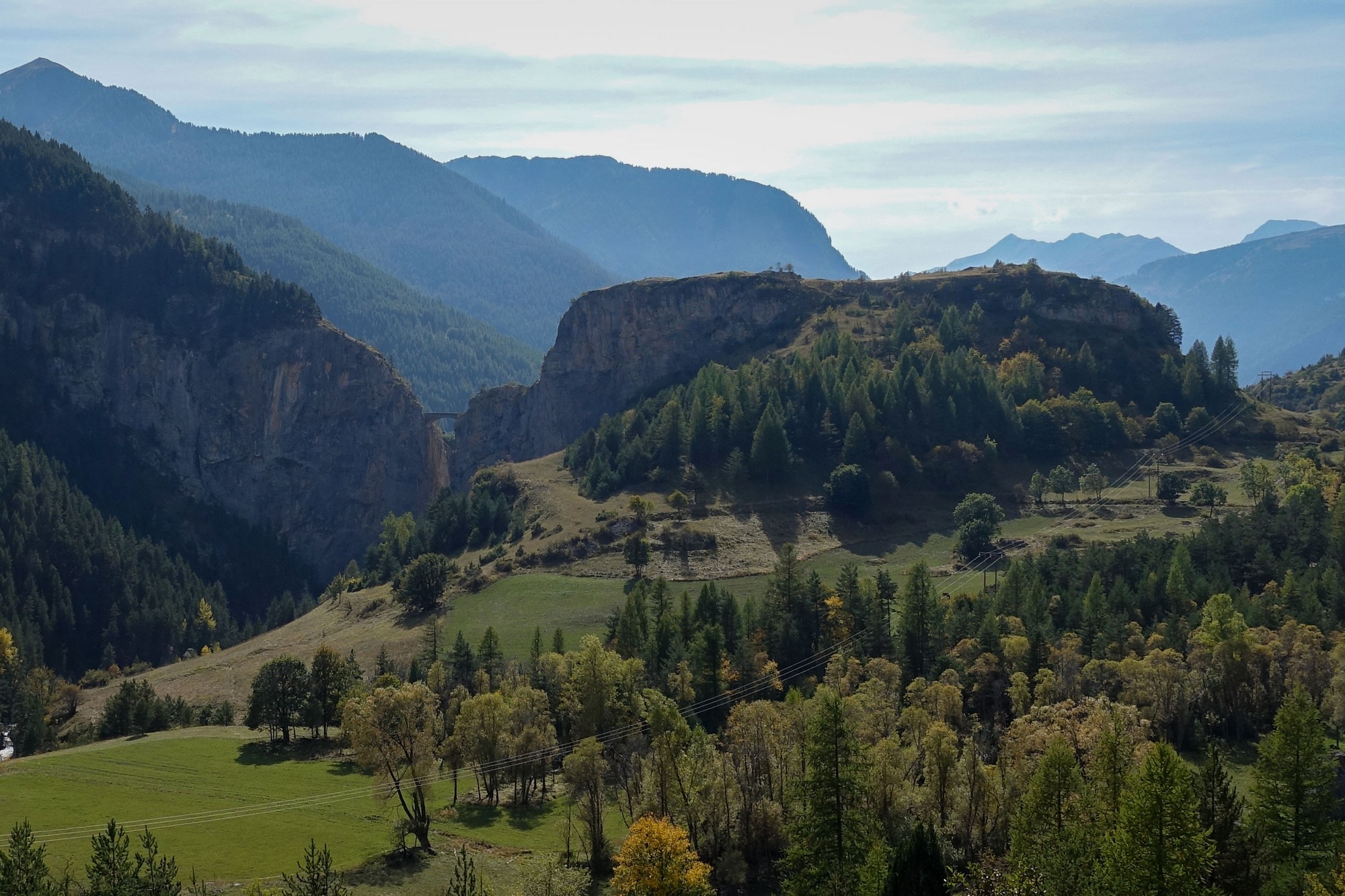
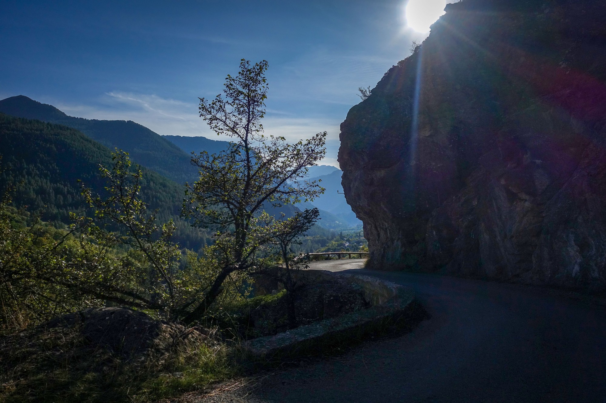
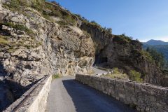
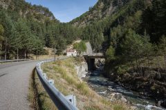
The road climbs and passes the turn-off to the bridge. I'll visit that on the return. Sweeping around a large rocky outcrop there is a view back to the other side of the bridge.
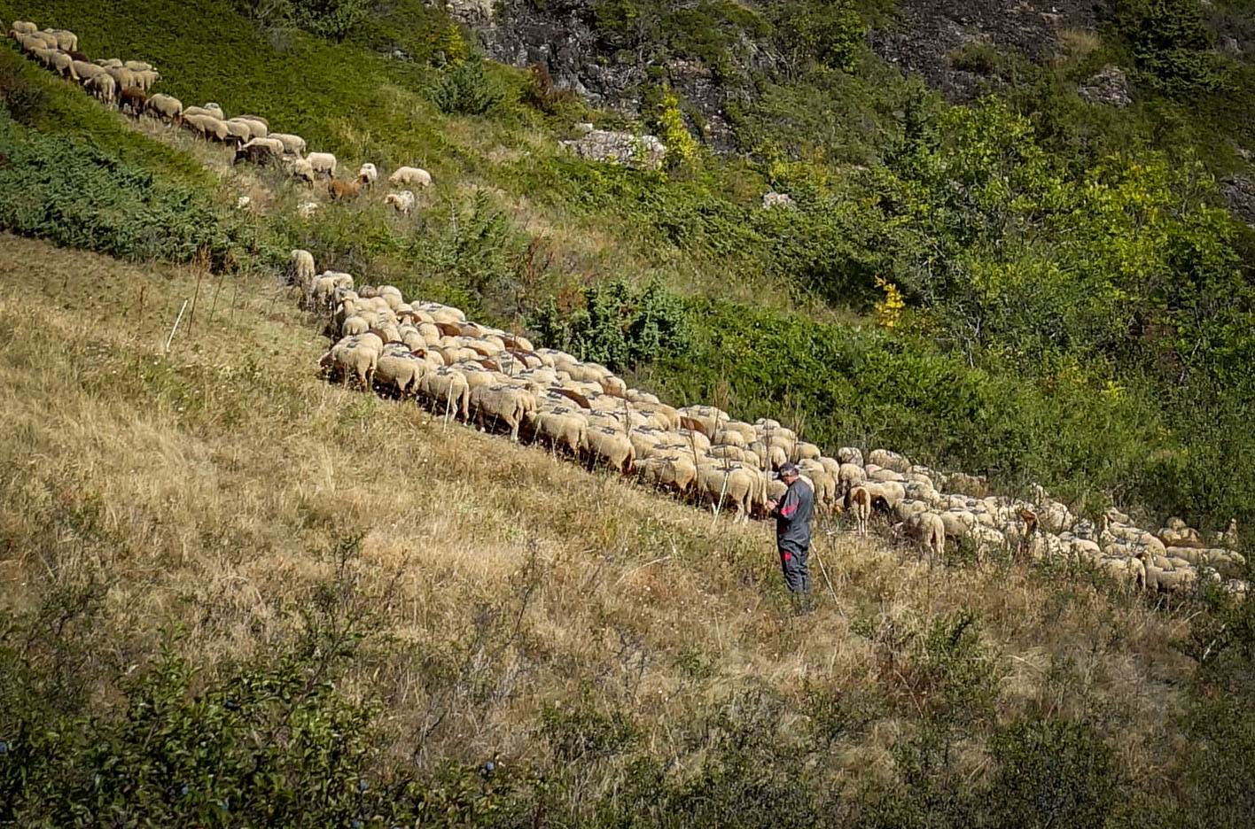
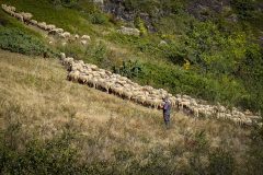
Approaching the hamlet of Saint-Antoine I saw a patou on his own standing in the road. I wondered where the shepherd was and then I saw the sheep herd further up the hillside. The massive guard dog came towards me barking but did nothing more than that. It was a slightly tense moment.
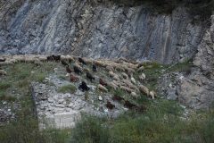
Further along I saw another group of sheep up to the left.
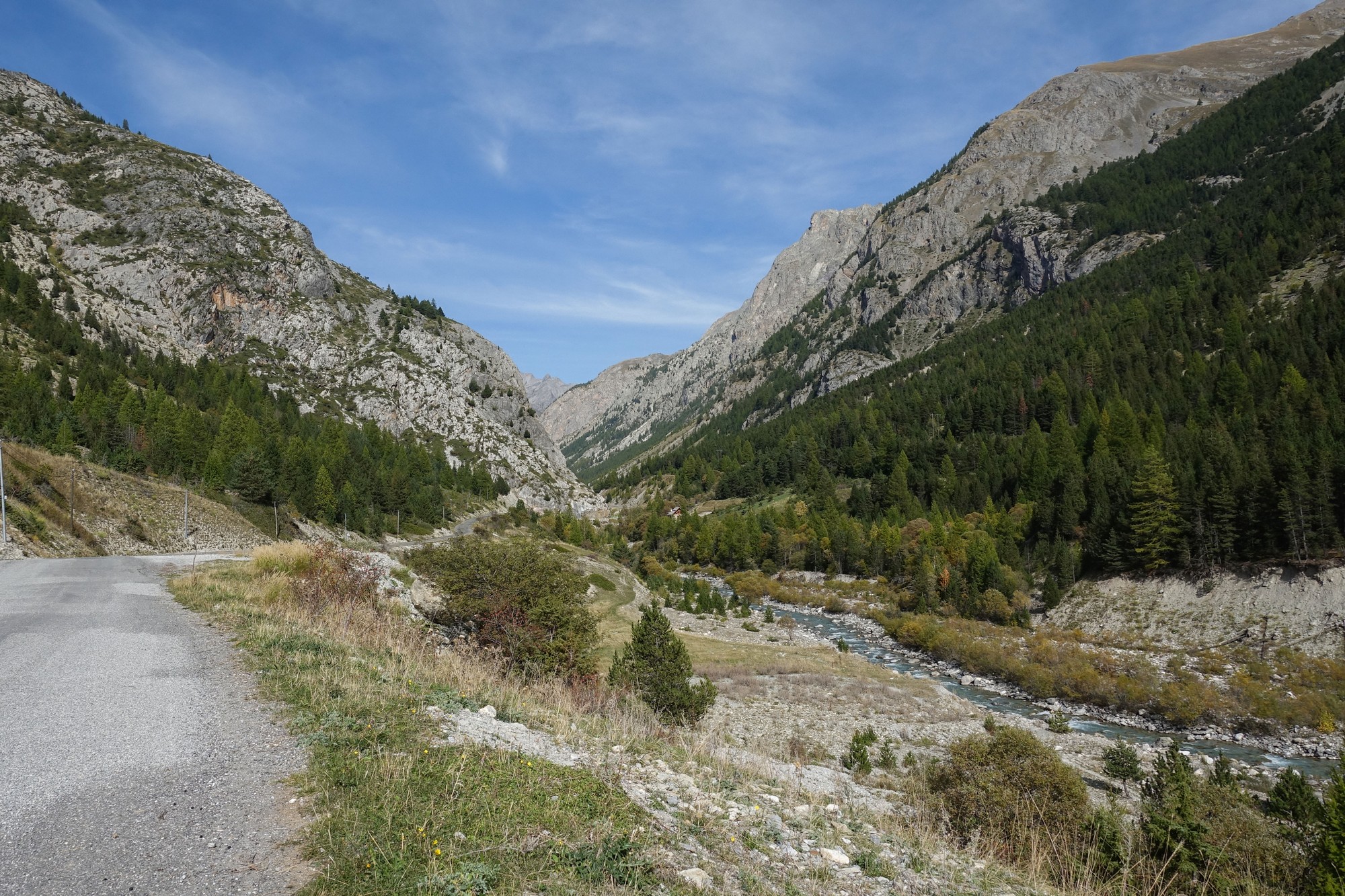
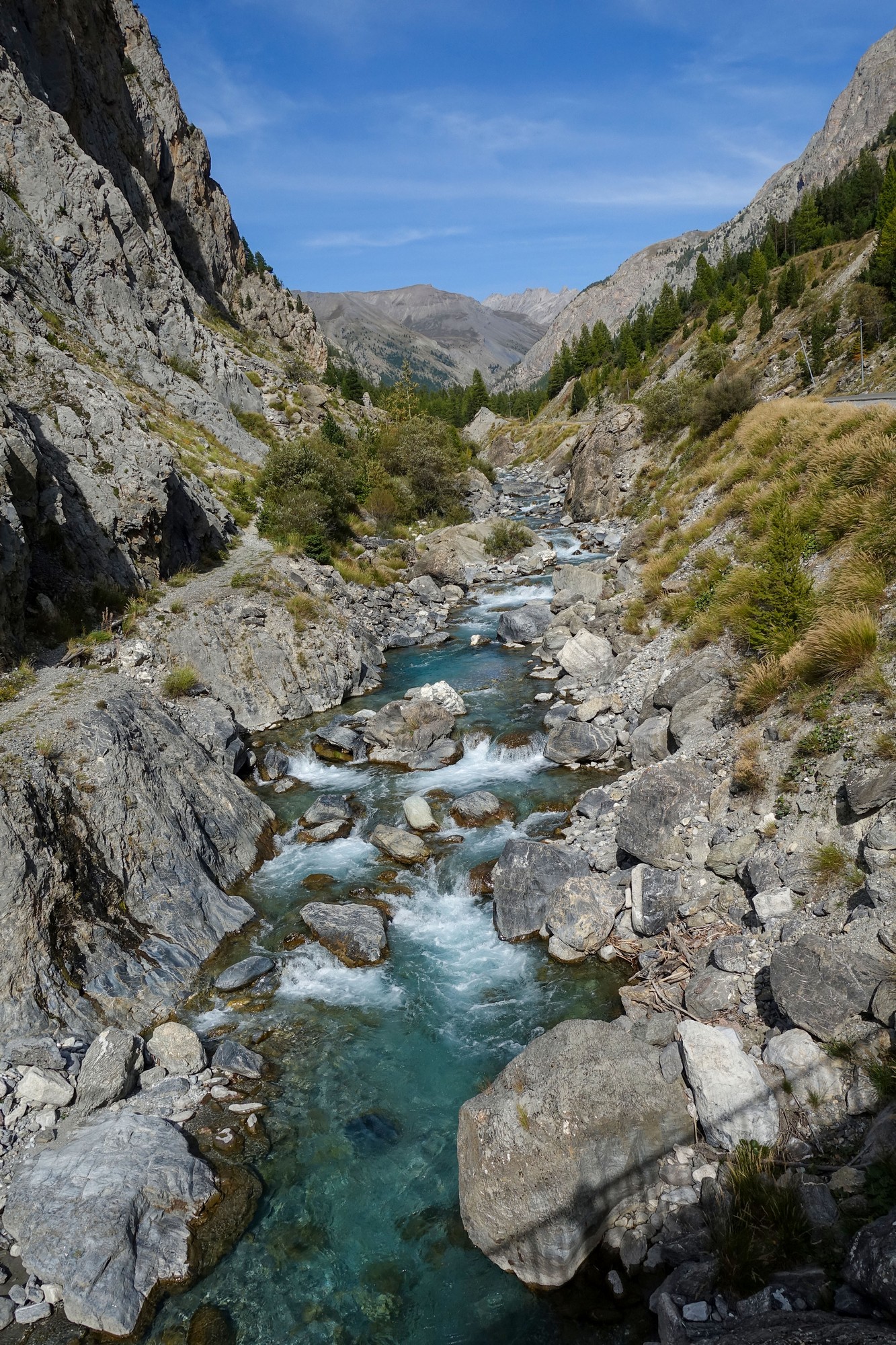
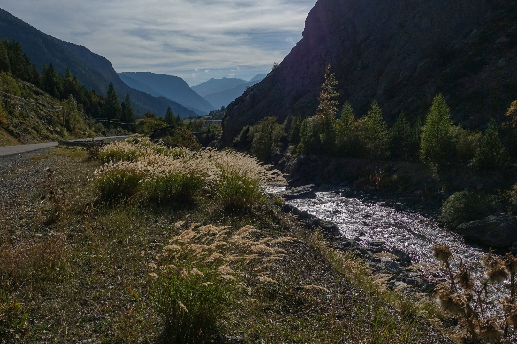
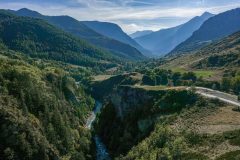
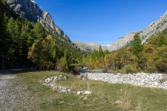
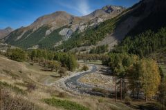
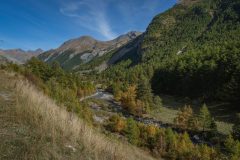
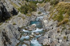
The river rises to road level again and is never out of earshot for the remainder of the climb.
At one point I was pleased to see cattle grazing on the hillside, rather than sheep - they don't tend to need guard dogs to protect them.
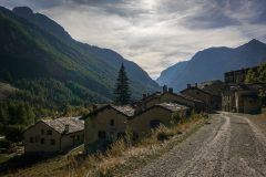
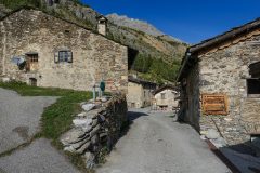
Nearing La Barge, I wondered if it might be the final hamlet in the valley but then I saw that the road went right through. I hadn't realised there was so many villages on this road.

Coming towards the last larger hamlet, Maljasset, I saw three patous on the road ahead. They had already spotted me approaching, naturally. The shepherd was with them and when he saw me he told them to stay down, so they were just lying there as I passed. In fact as I went by I heard him say to them "ici", the French equivalent, I assume, of 'here boy'.
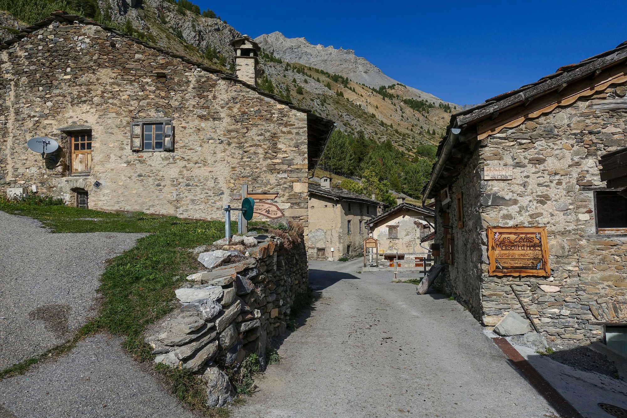
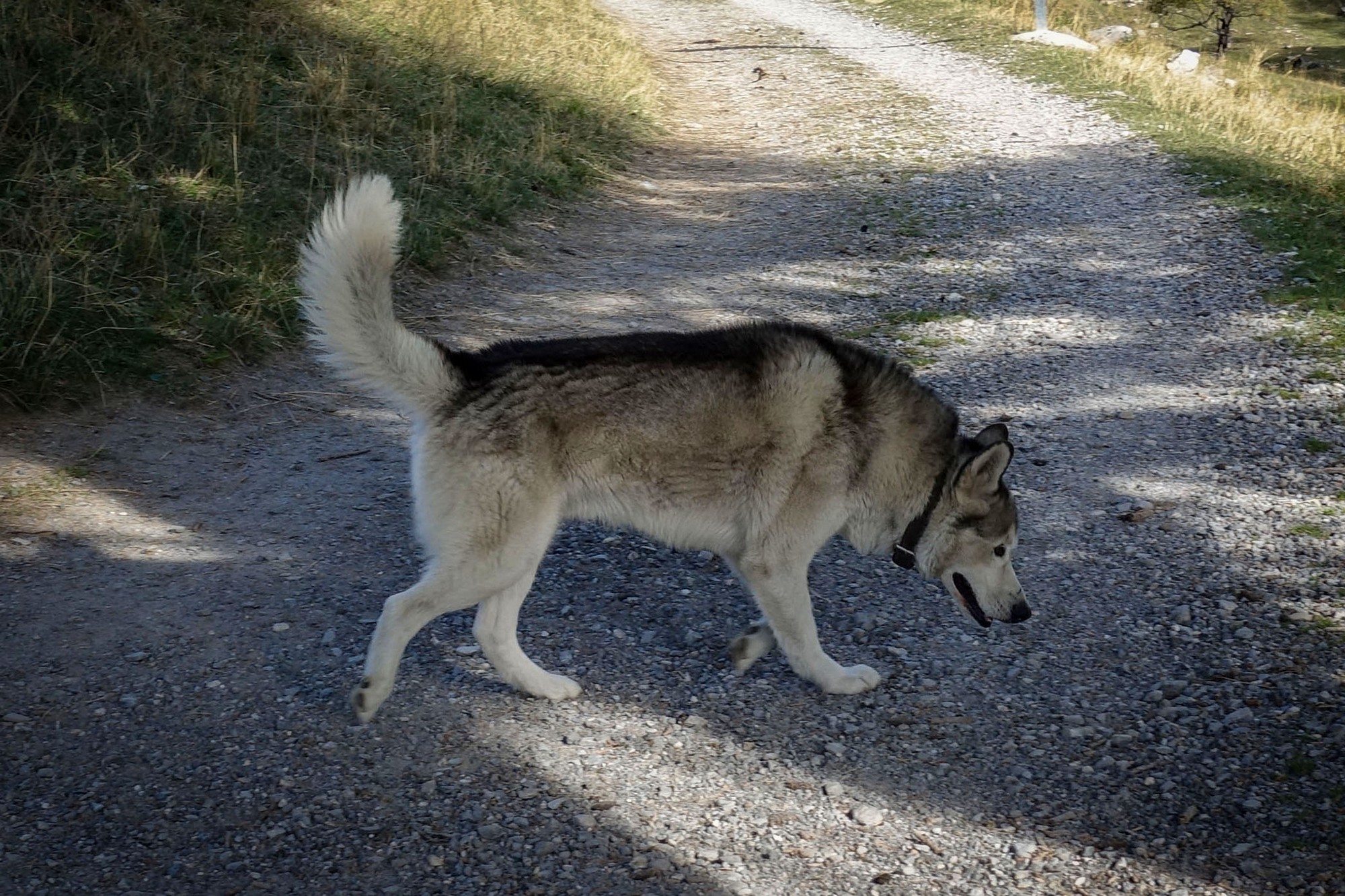
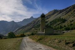
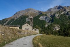
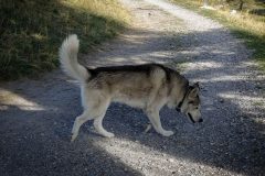
On the other side of Maljasset there was a sort of husky-looking-type dog ahead of me in the road, and I thought "oh, not another bloody dog". But he just walked away from me on the other side of the road for quite a way while I rode slowly over the gravel, so he didn't seem to be much of a threat. Then I left him behind as I cycled further along the path. When I came to take a photo of the church I noticed he was right behind me again. Maybe he was lonely. (I googled after the ride and learned that Huskies are generally friendly and pose no threat.)
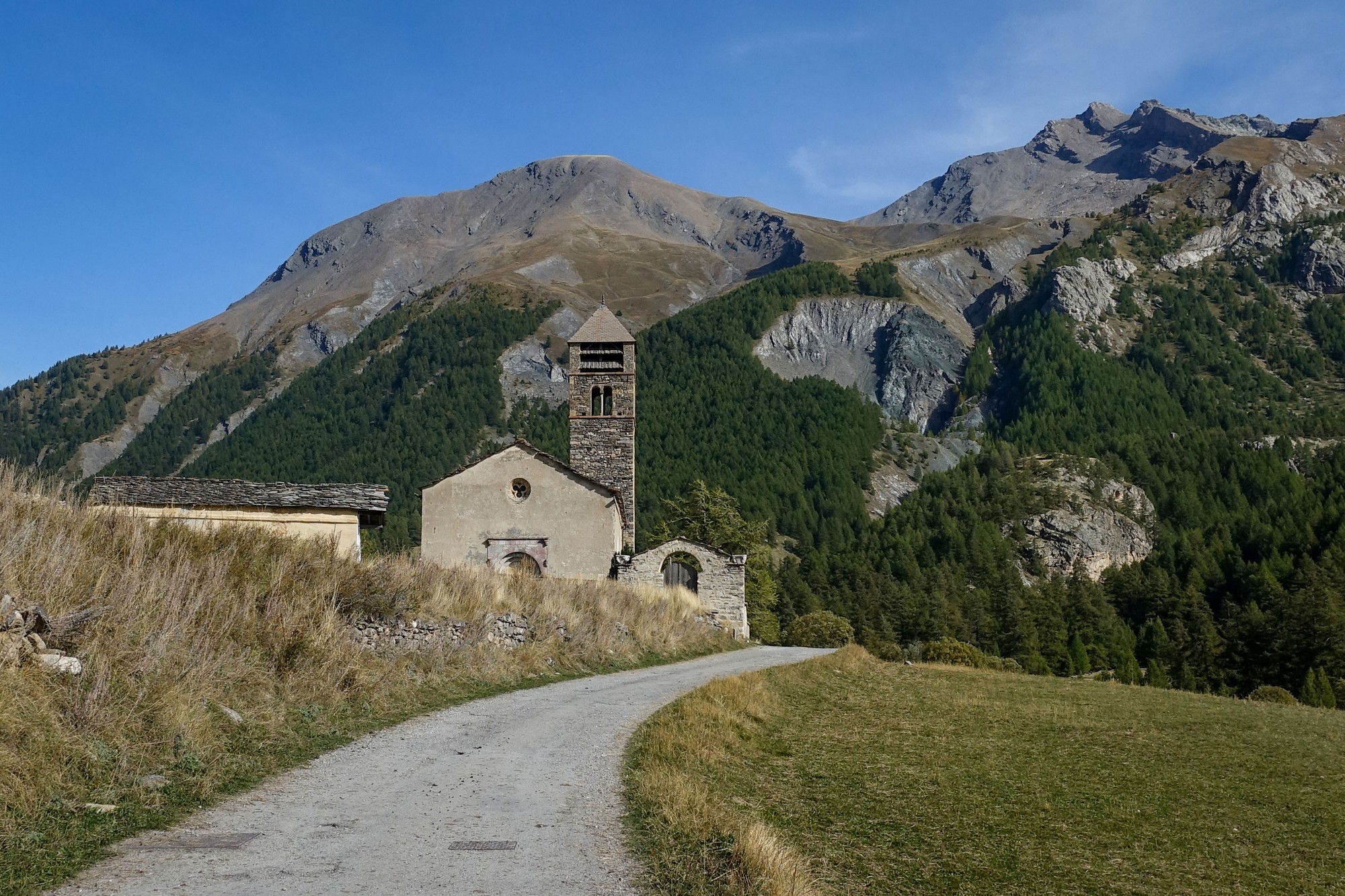
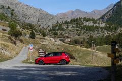
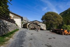
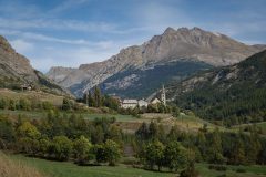
The path was gravel for the few hundred metres to the church and beyond. There are some buildings visible even further on, at the final hamlet in this valley, Combe Brémond, but without my gravel bike I decided to call it quits right there. [Apparently there used to be another hamlet even further up the valley, Saint-Bernard, but it was destroyed long ago by a landslide]
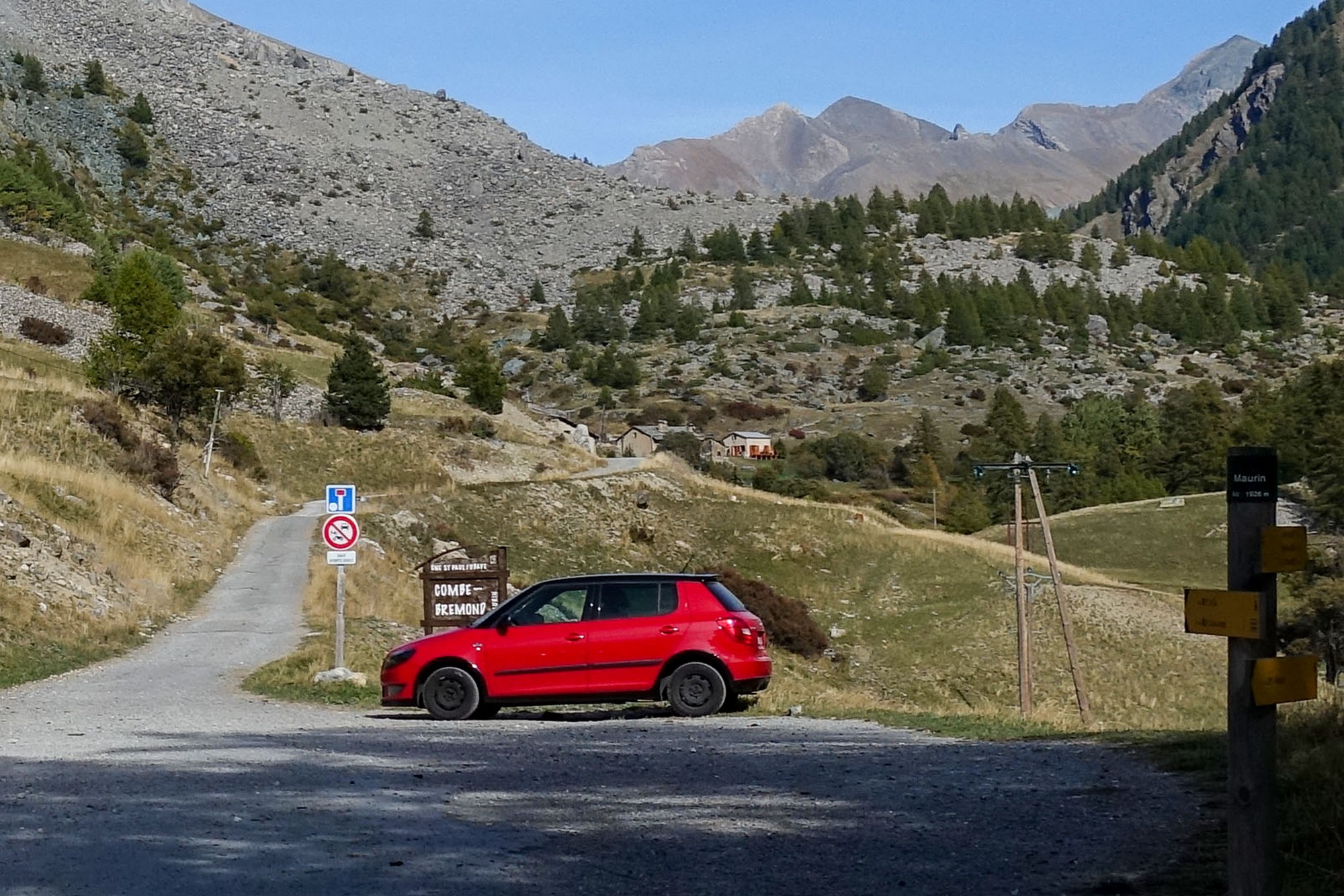
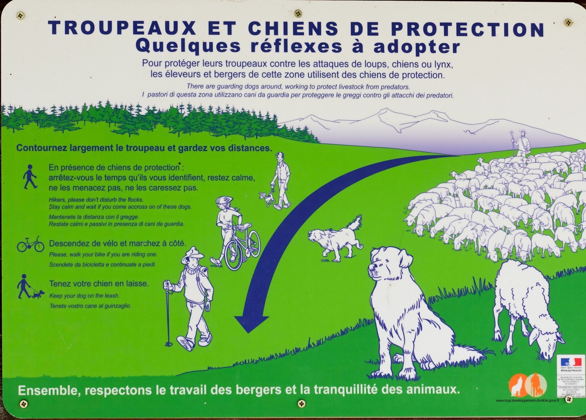
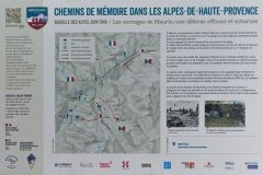
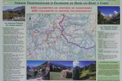
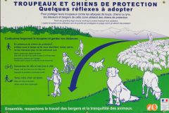
An information board for the benefit of ramblers and cyclists advised that you should get off your bike if a patou approaches you, so maybe I'll try that next time.
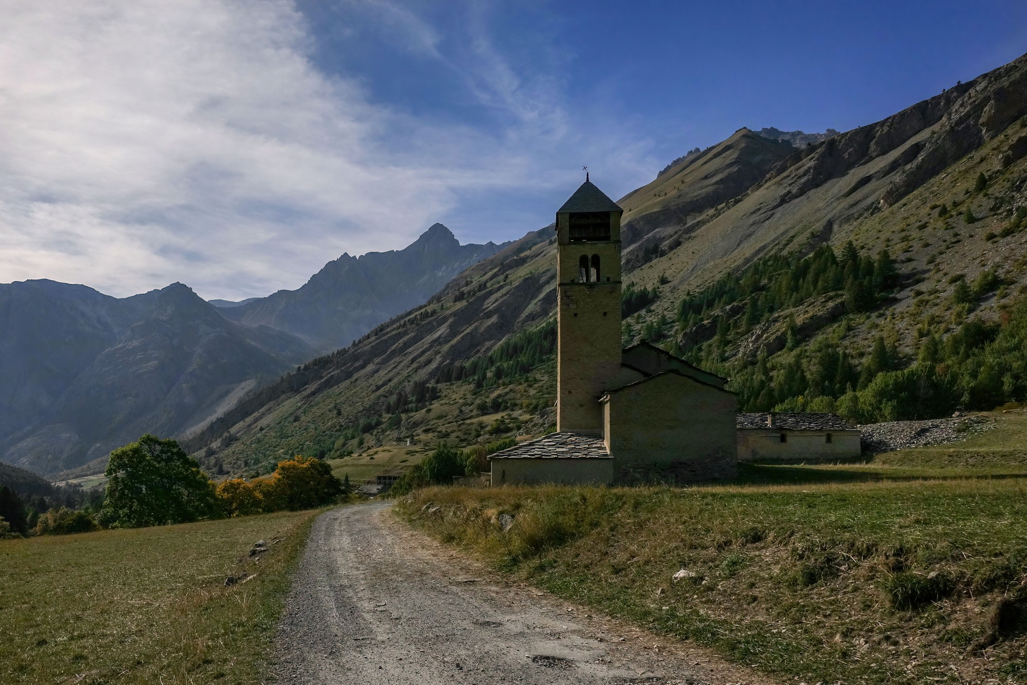
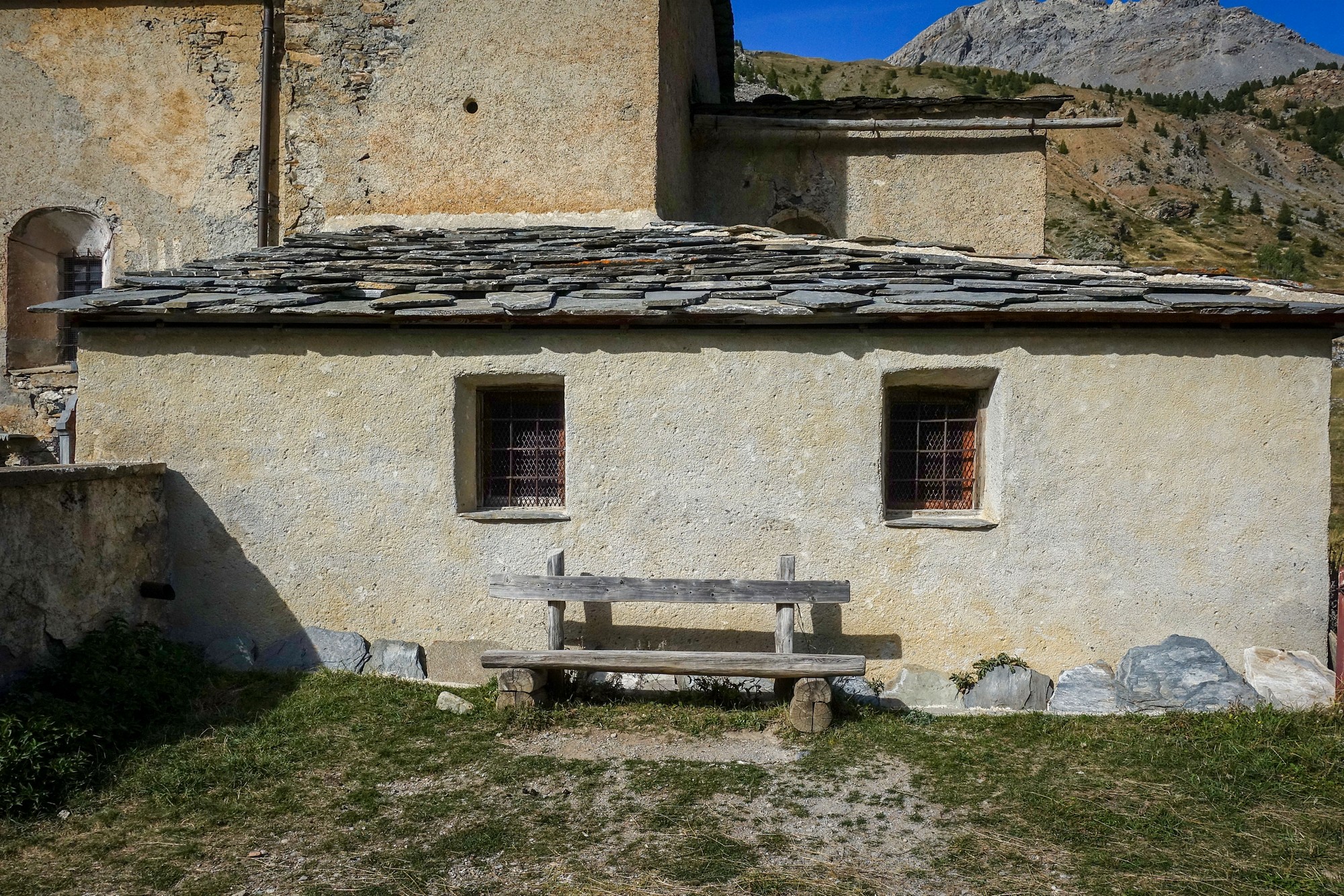
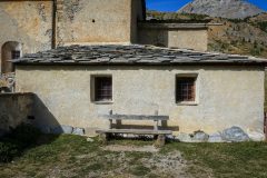
I rode back to the church and sat on a bench to eat my CST sandwich while taking in the view and enjoying the warm breeze and sunshine. Two ramblers passed by. There are plenty of opportunities around here for walks into the mountains.
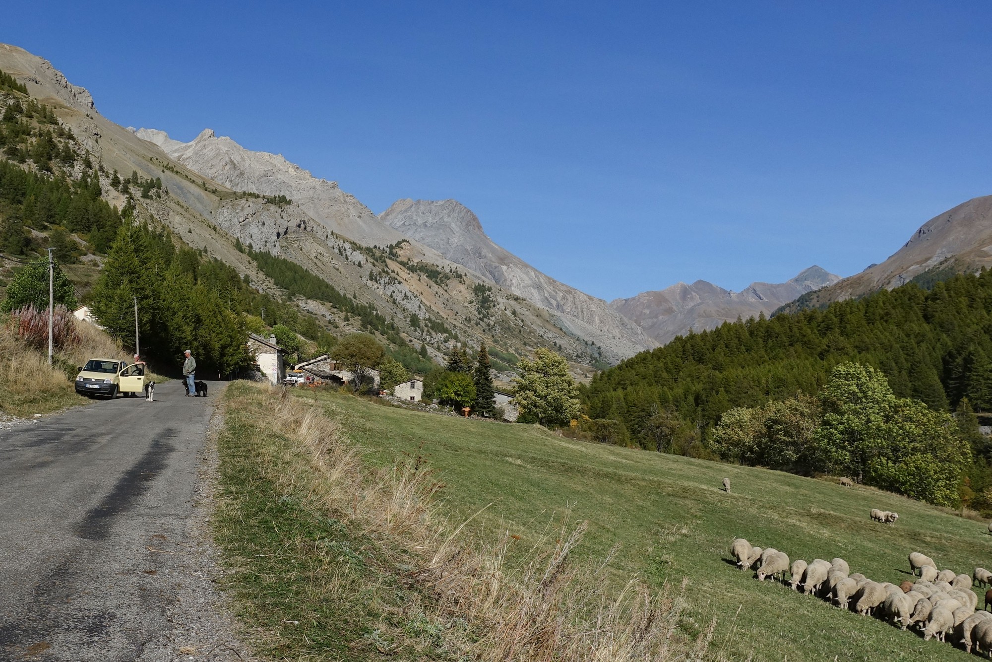
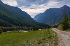
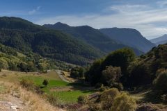
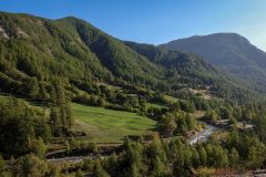
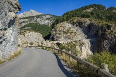
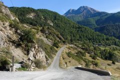
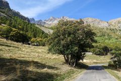
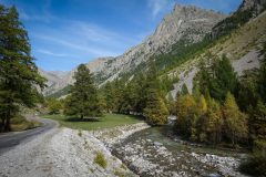
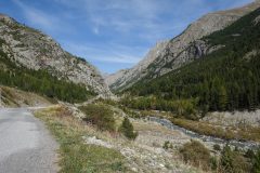
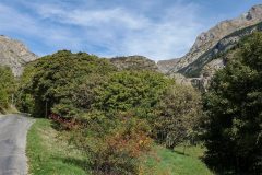
The climb had been very steady along this exceptionally beautiful valley. There had been more traffic than I'd expected. Not exactly busy, but a car or bike or van every five minutes or so. Apart from a very steep bit near the Pont du Châtelet, and another ramp up to the hamlet of La Barge, the gradient had been easy. A breeze had helped me along the valley.
After twenty minutes or so, I put my rain jacket on and started to make my way back. It wasn't particularly cold, but this October afternoon was getting on and some of the valley further down could be in shade. By this time high clouds were starting to weaken the sunshine. I just hoped that those flocks of sheep were not on the road, so I wouldn't have to be concerned with dogs.
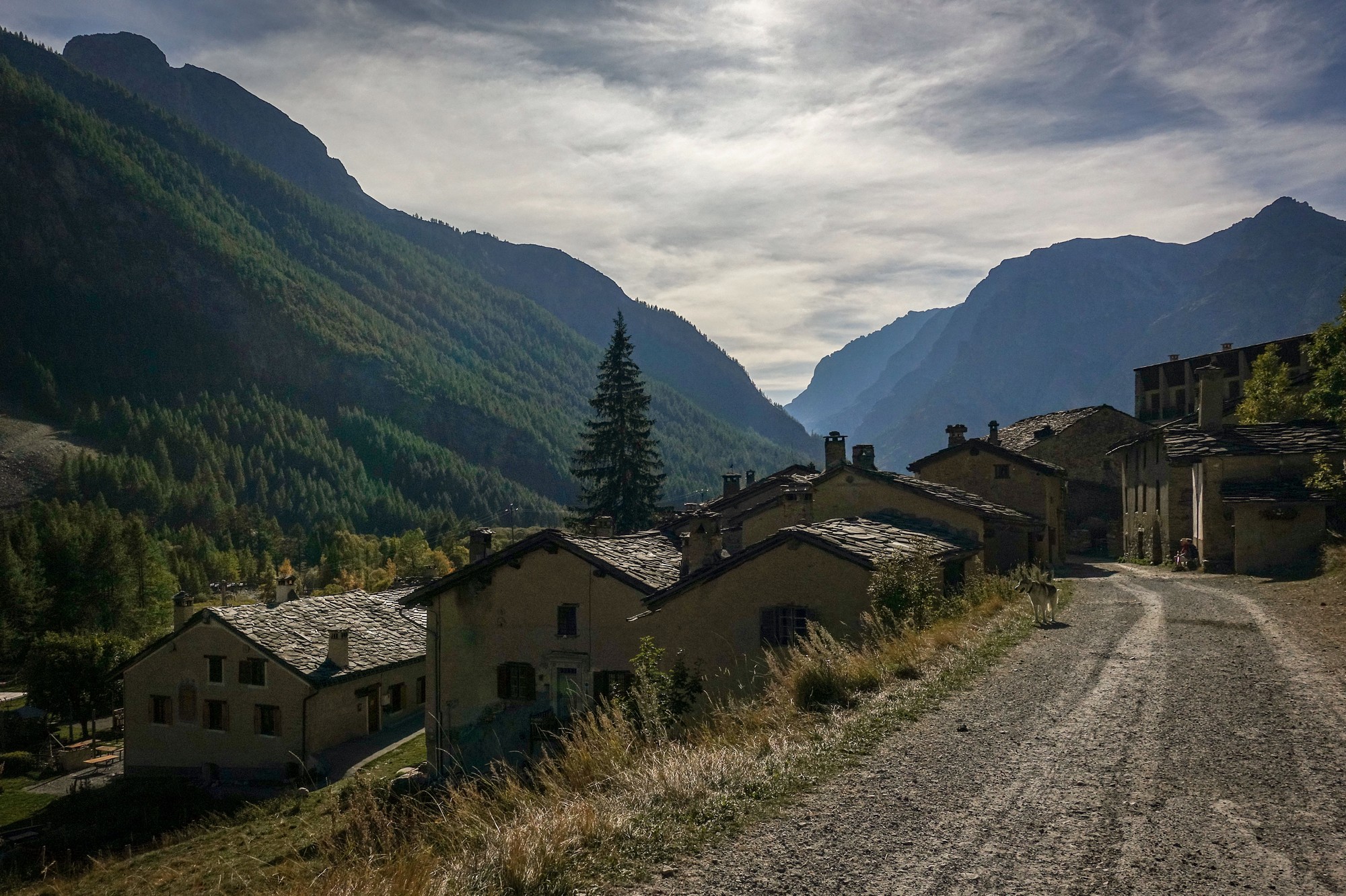
Just through Maljasset that same shepherd was still there, chatting to someone, and once again told his dogs to lie down as I passed.
The road surface had quite a bit of gravel in places. Elsewhere it showed signs of numerous repairs but there were no potholes or bumps; it was just smoothly undulating.
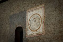
I passed a roadside sundial. It read 3 o'clock, but the time was in fact 4pm, so it obviously hadn't been adjusted for Summer Time! I suppose that could be achieved by lifting the whole thing up and turning it round 15° (I need to have a think about whether that's true). [see the comments section below]
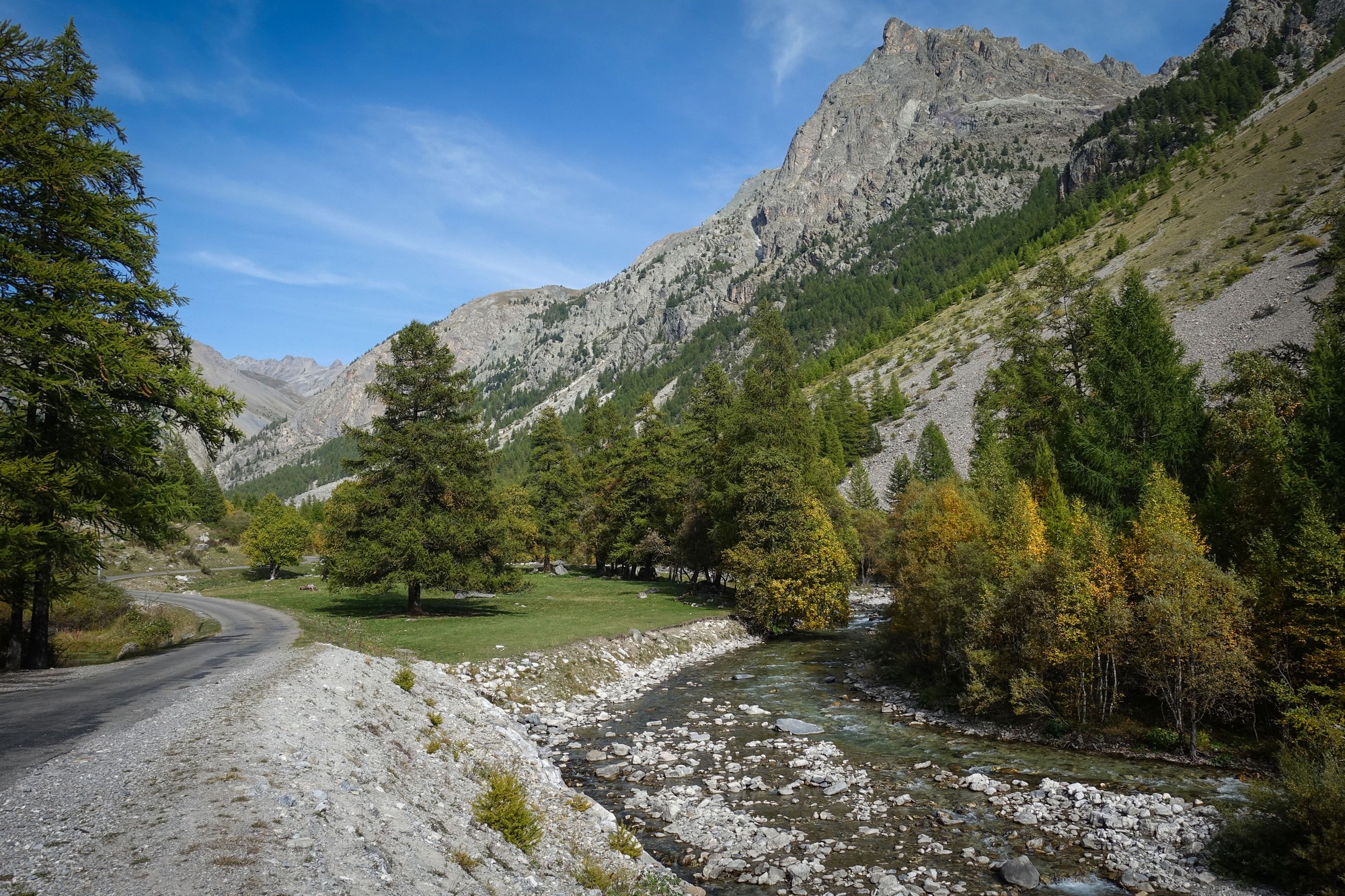
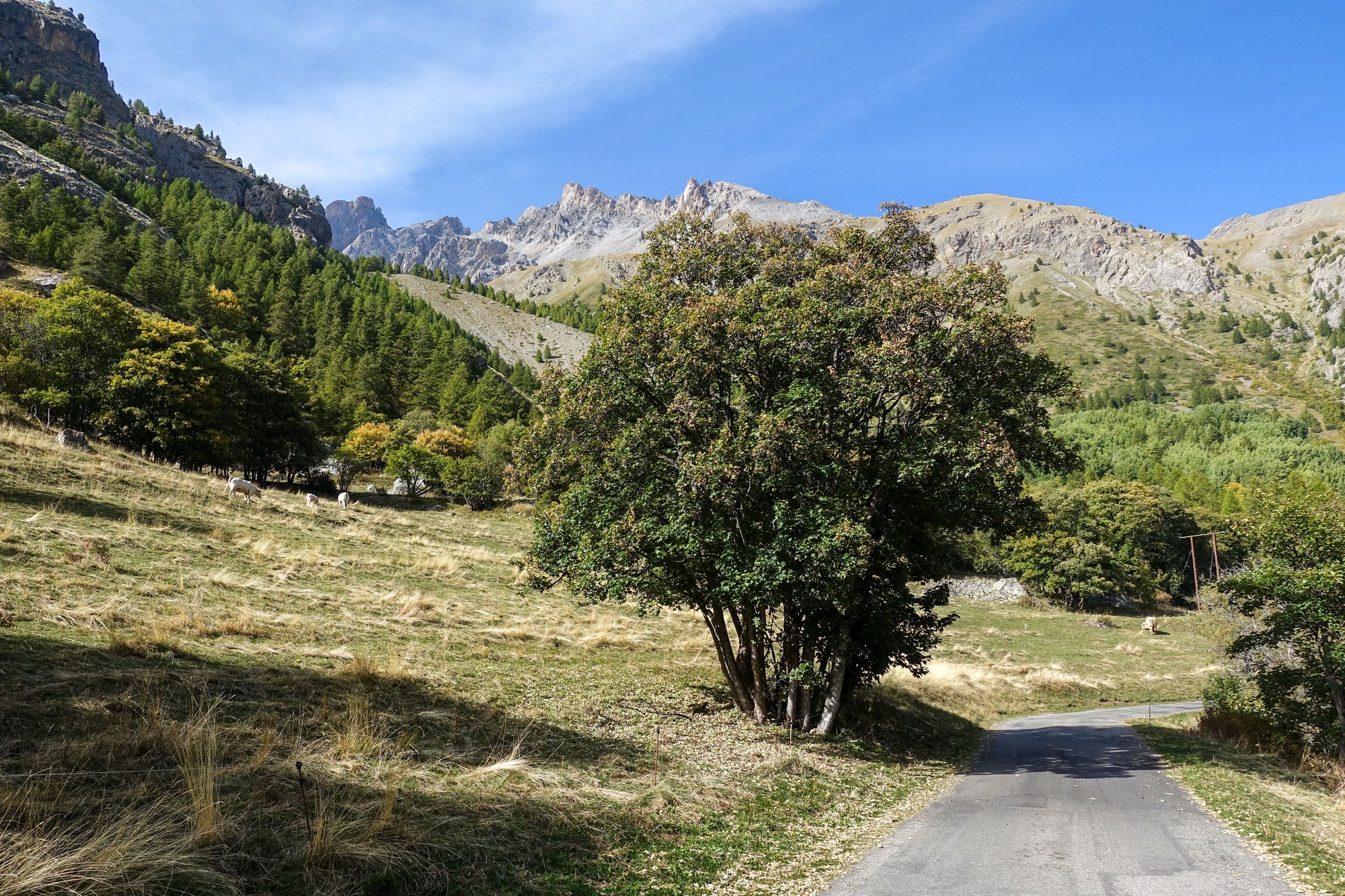
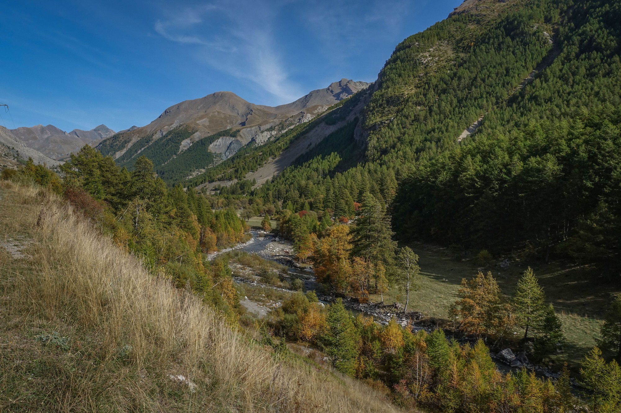
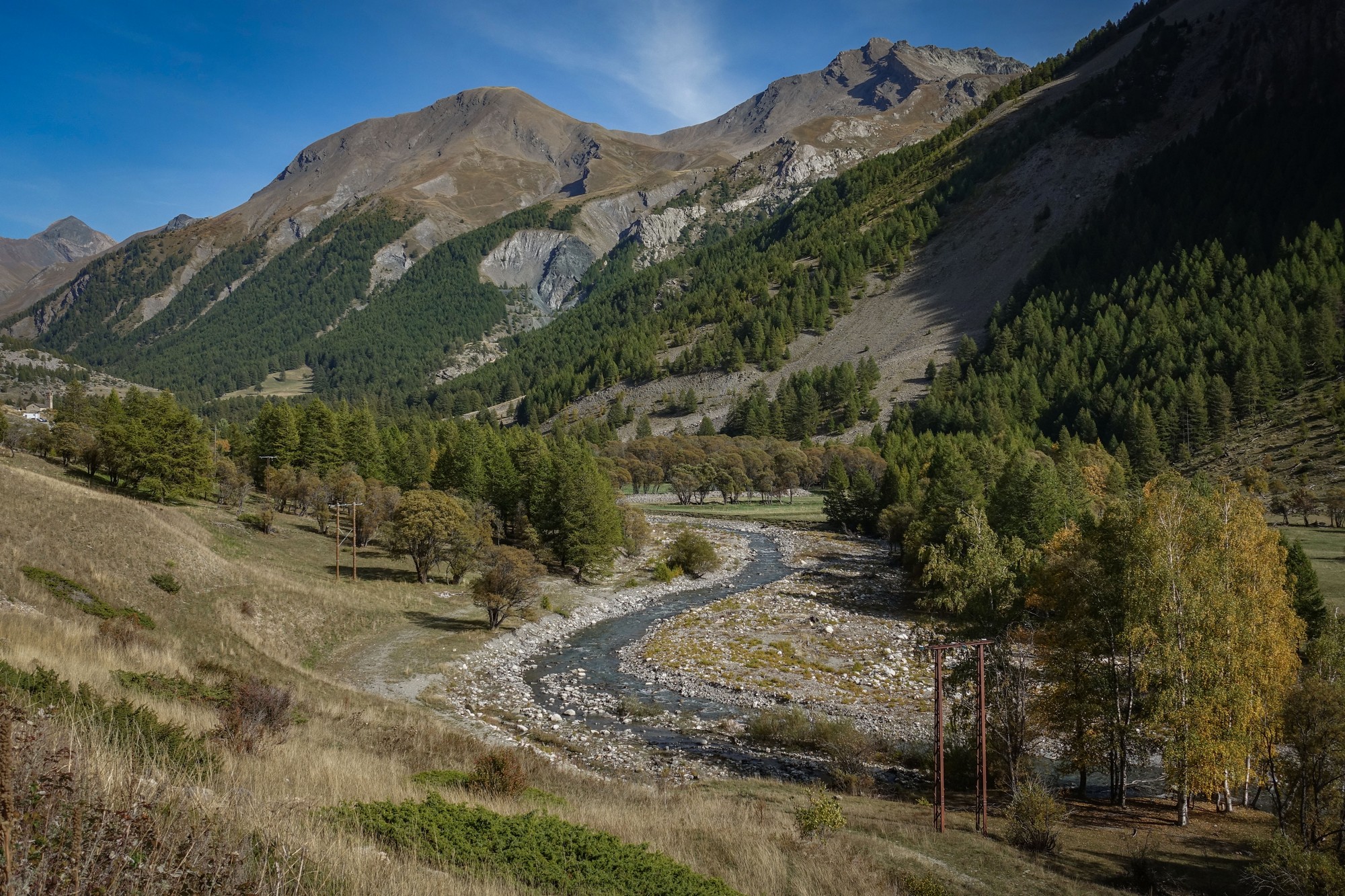
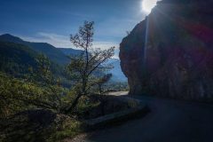
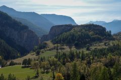
The scenery was so lovely I stopped often for photos.
Soon I saw the Pont du Châtelet over to my left
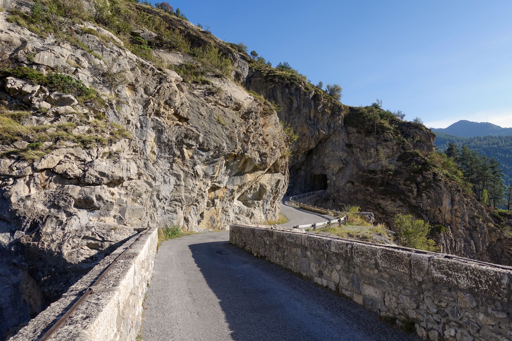
This time, after riding round the rocky outcrop I went up the road to the bridge
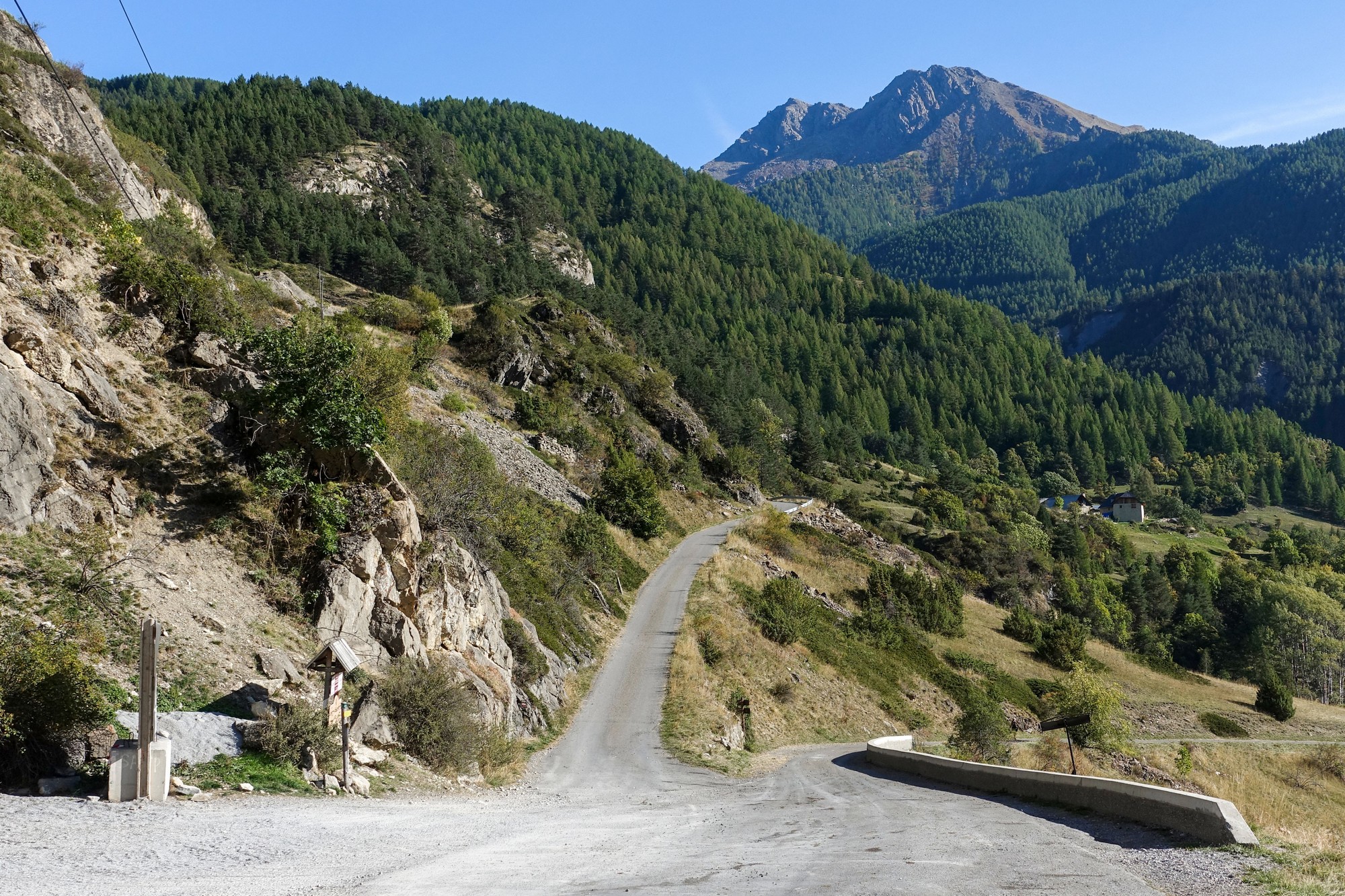
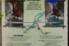
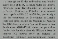
Apparently the bridge wasn't really used for two years after it was built (1882) because the 28m tunnel on the other side hadn't been bored through. It was built to provide access to the remote village of Fouillouse, two miles at nearly 10% further on. It would have been a nice excursion to ride up there - maybe another day...
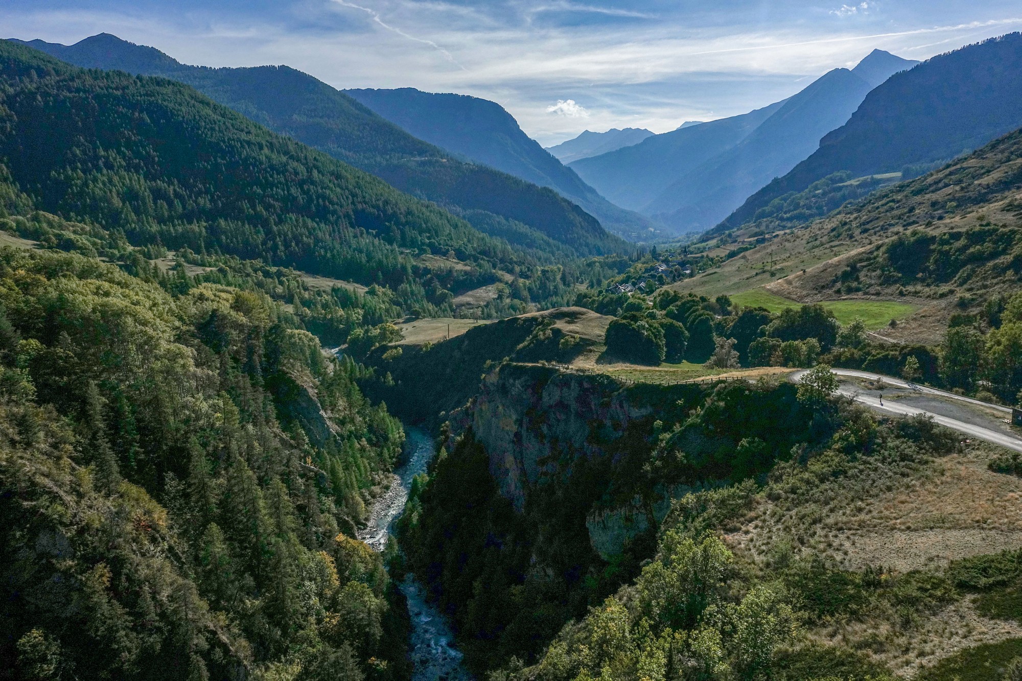
Shortly after I rejoined the main valley road, after coming down from the bridge, I noticed a path leading to a viewing point, la Belvédère du Pont du Châtelet, from which there was a splendid view of the bridge, bathed in sunshine.
"Pont du Châtelet has the unique distinction of having the second greatest height to span ratio of any of the world’s 1,000 or so highest bridges after the Zhangjiajie Footbridge in China" (ref highestbridges.com)
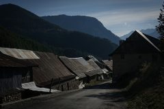
The late afternoon sun was glancing off the corrugated tin rooftops as I came through Grand Serenne
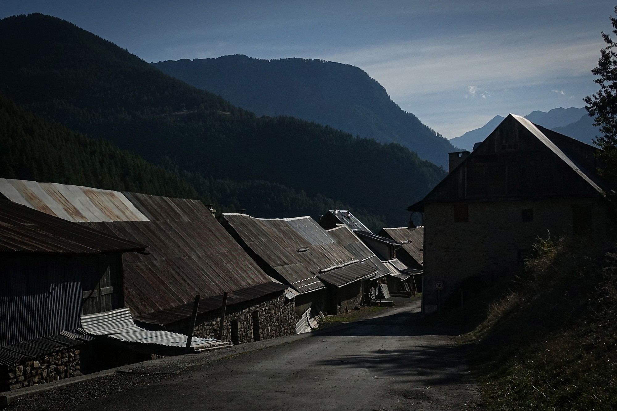
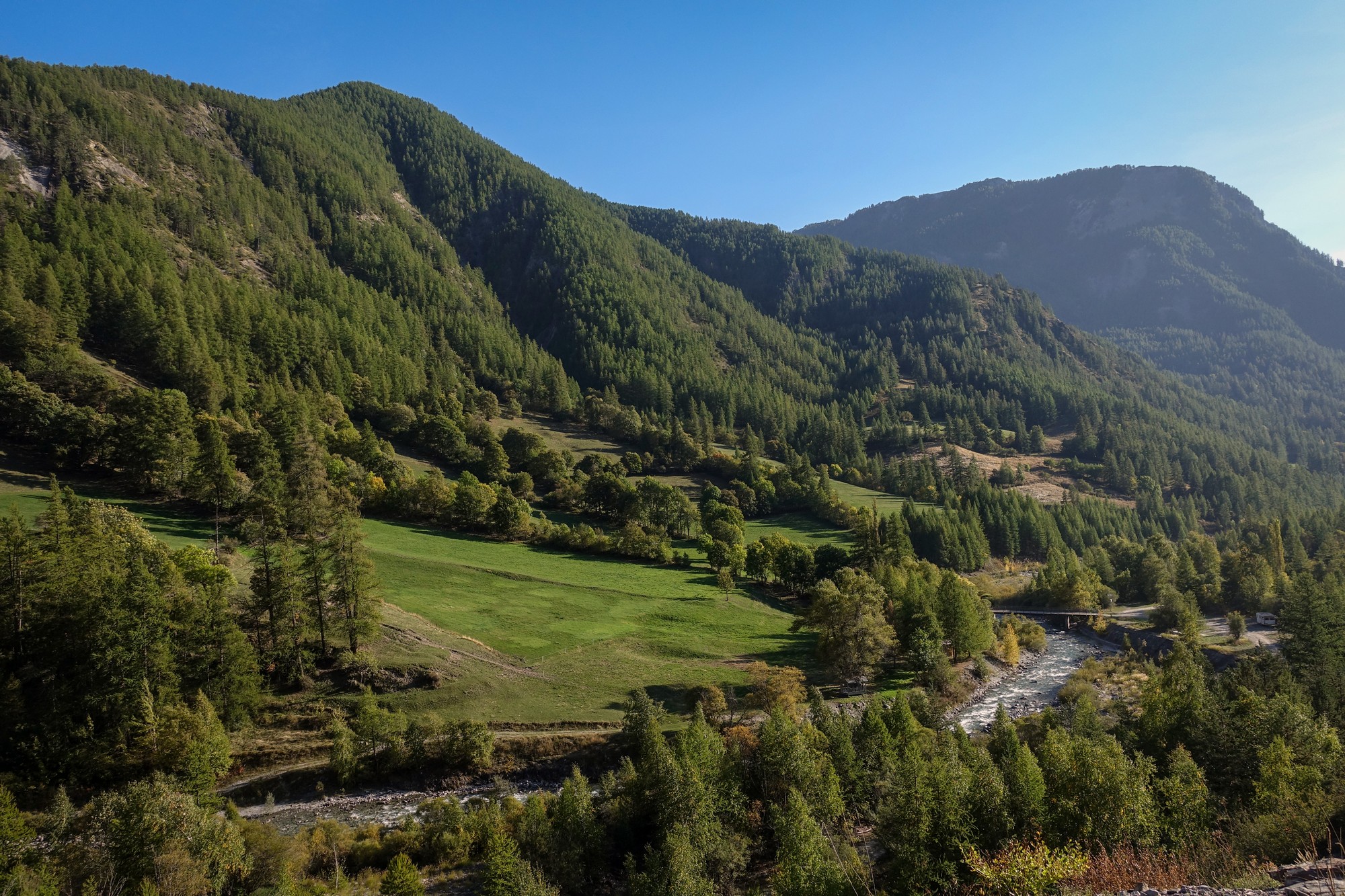
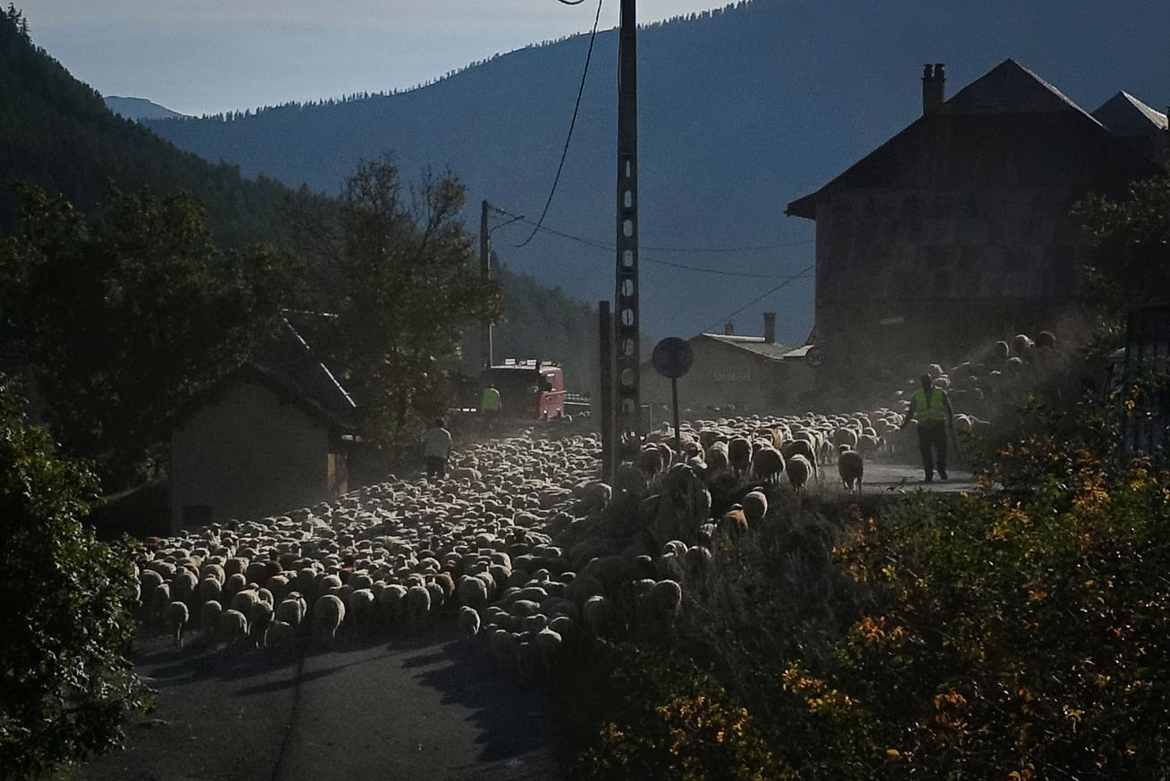
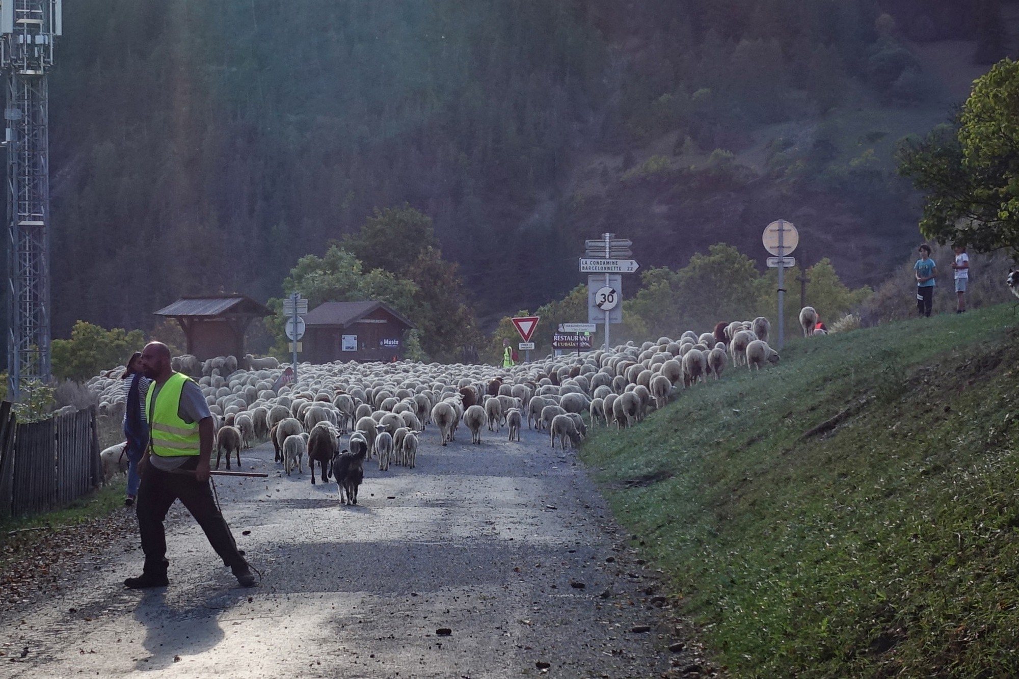
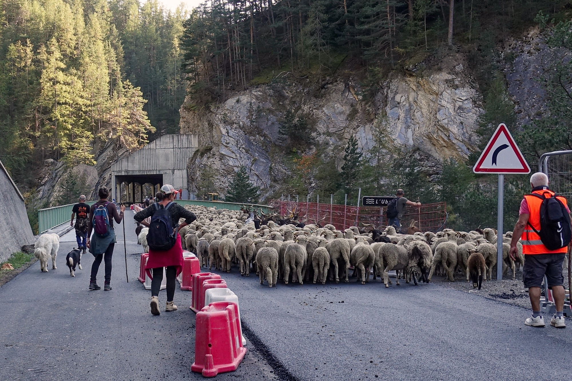
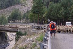
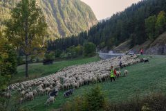
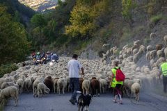
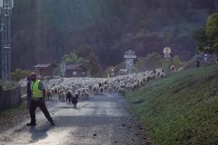
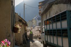
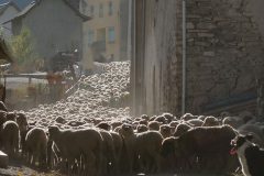
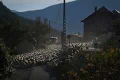
As if this day hadn't entertained me enough already, what came next as I approached the village of Saint-Paul-sur-Ubaye was a wonderful icing on the cake. I can't remember if I heard it first or saw it first. Up ahead a torrent of sheep was pouring along the village main street, smoothly flowing over everything in its path, like lava. Dogs were barking, shepherds were shouting. Dust was filling the air above the stampede. Contre-jour against the low sun, it was a captivating sight.
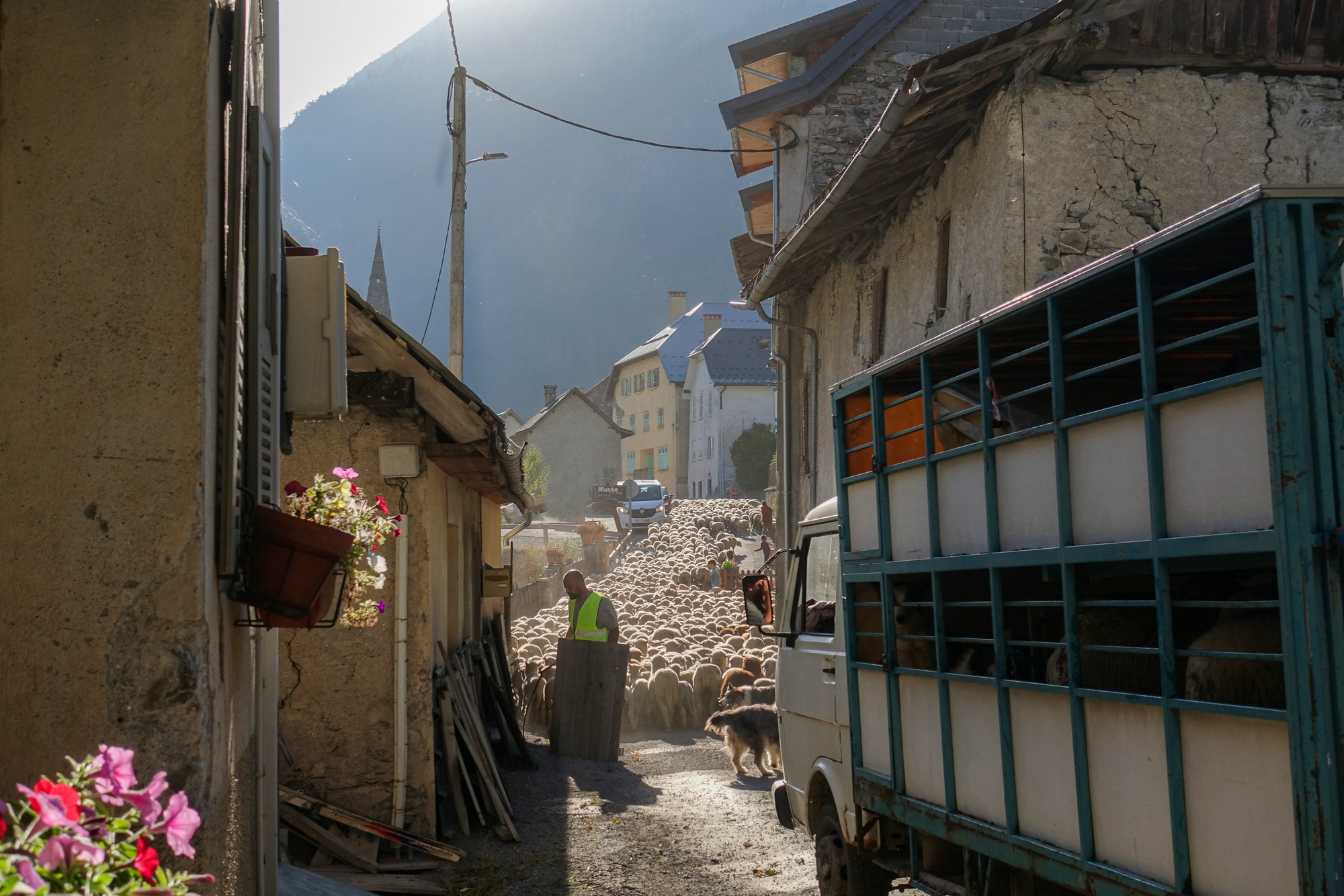
I tried to keep up with the flock as they moved along the road. I had to keep behind or alongside the truck that was following the throng. I would stop for a photo (or video) then ride on a bit further and repeat. It was quite awkward being on my bike and trying to hold my camera.
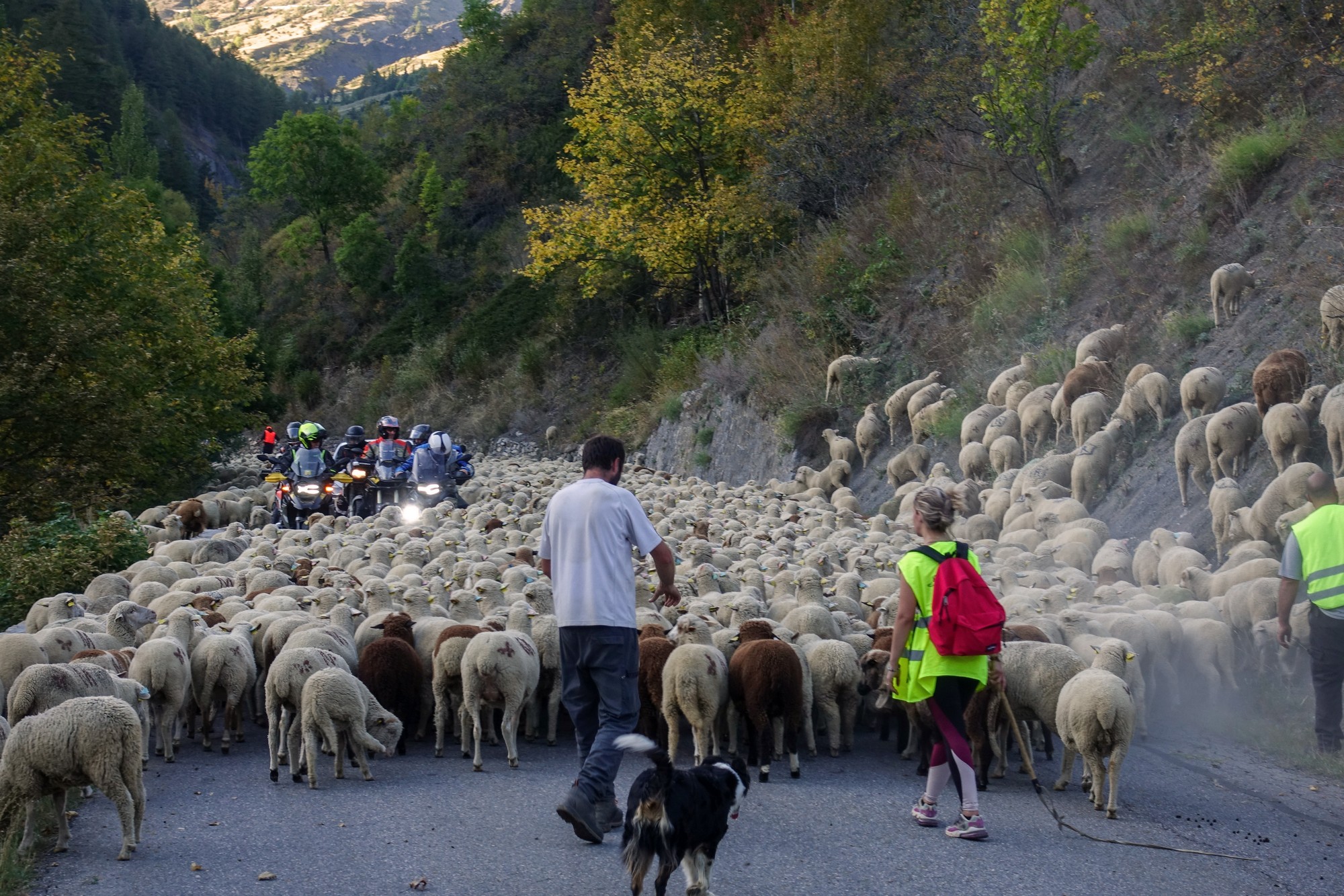
Eventually the 'troupeau' was steered off the road to let the traffic flow again
What an amazing sight and experience it had been to see la transhumance 'live' in front of me.
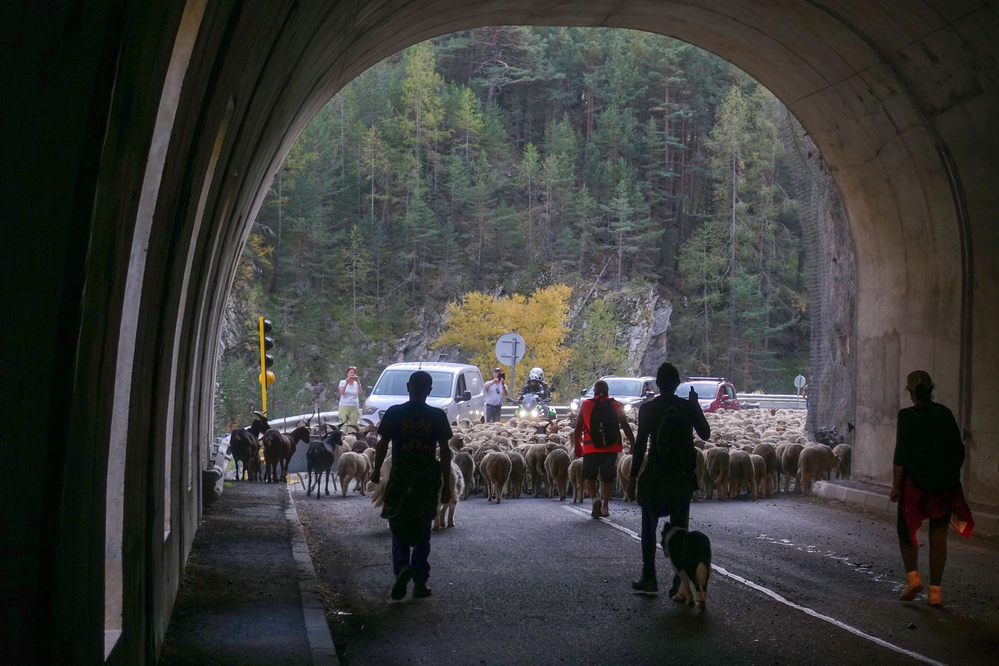
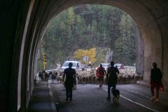
Little did I expect, then, to come across another troupeau of sheep and goats less than half a mile further along the road. They were just about to enter the tunnel.
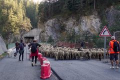
The progress of this herd was more sedate. No shouting, no barking; just getting on with it in an orderly fashion. Going through the tunnel there was a wonderful cacophany of the animals' bells (chiefly the goats I expect) clanging and reverberating off the walls of the tunnel.
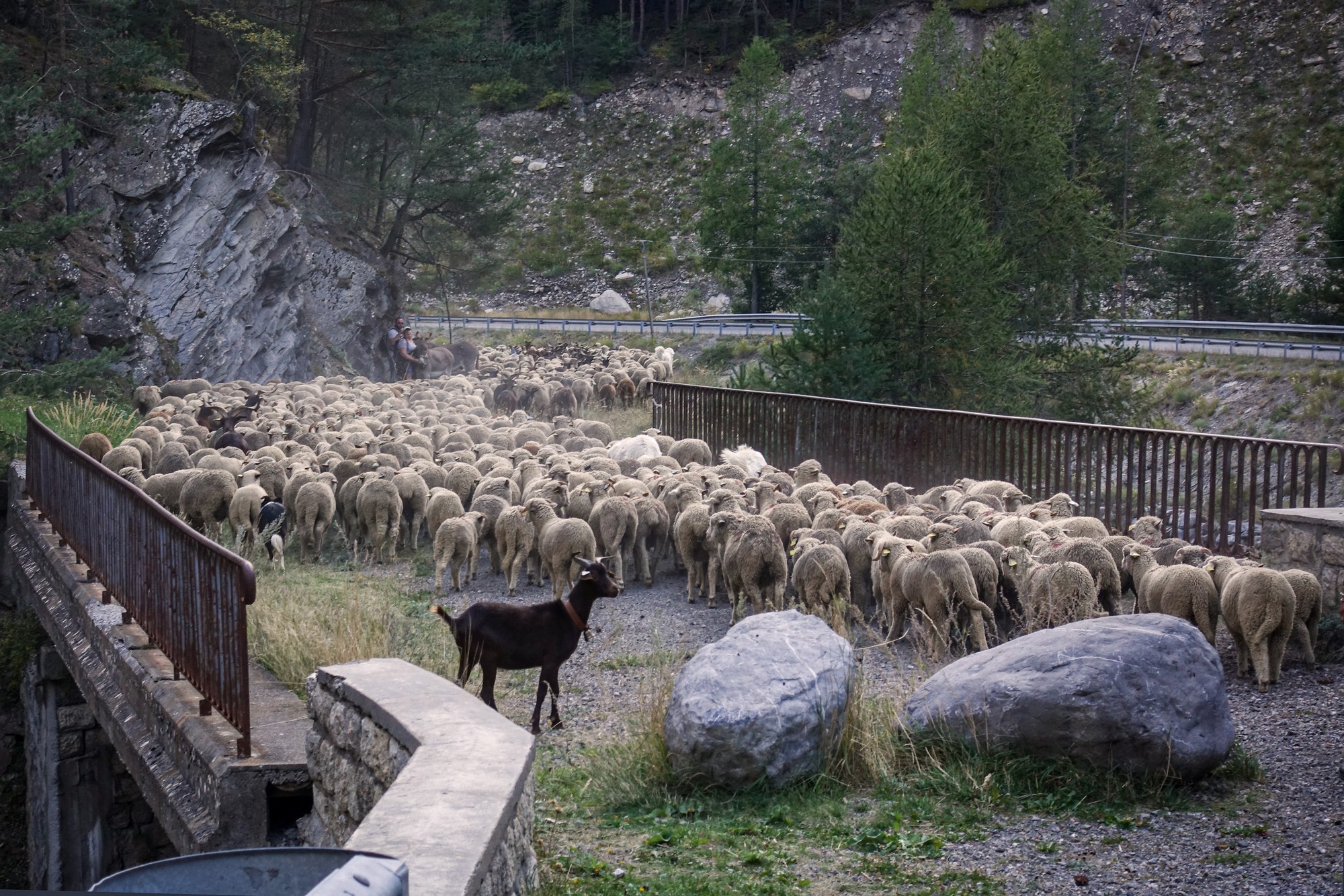
Shortly after the tunnel the herd was steered away from the road across an old bridge.
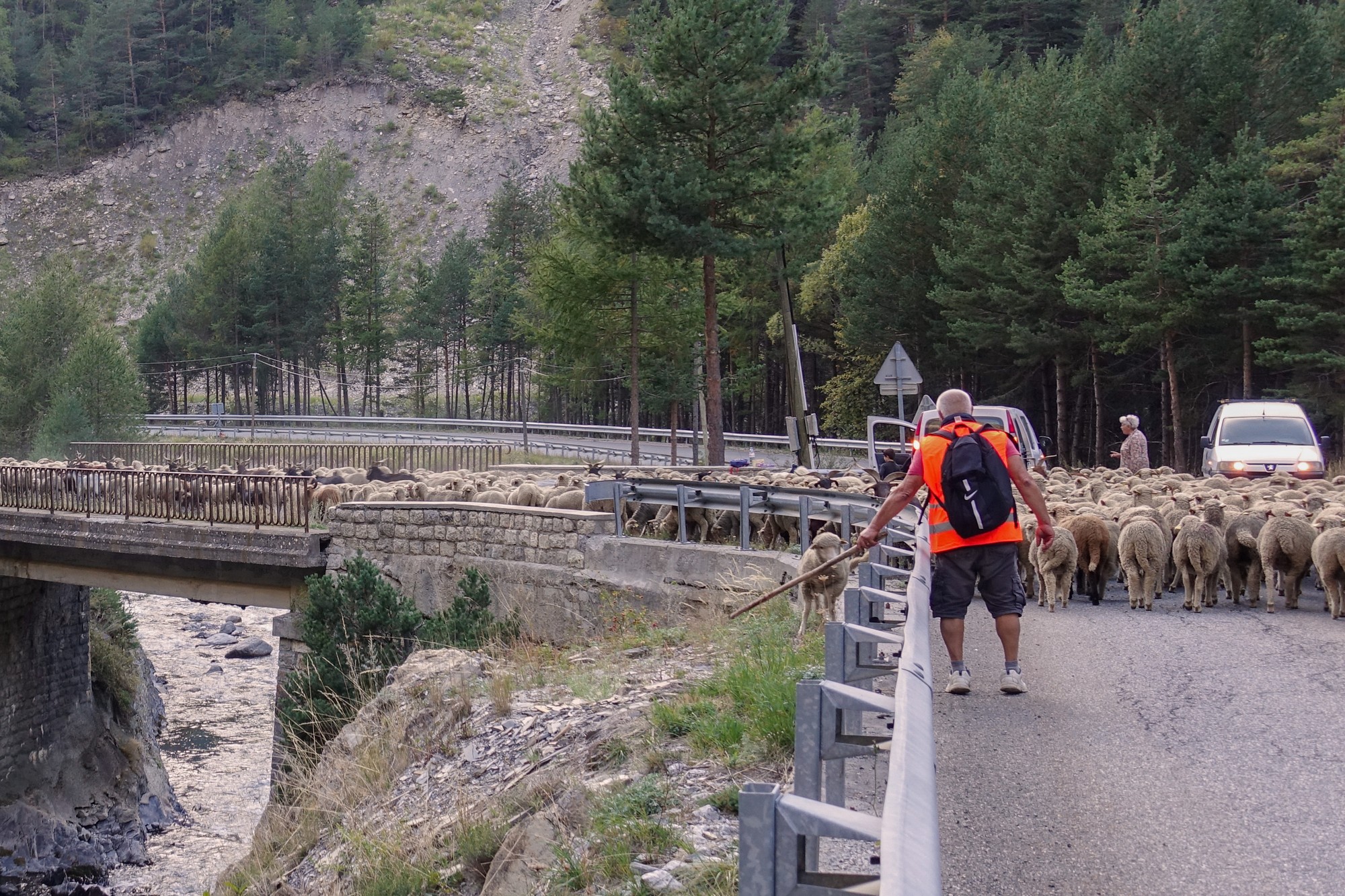
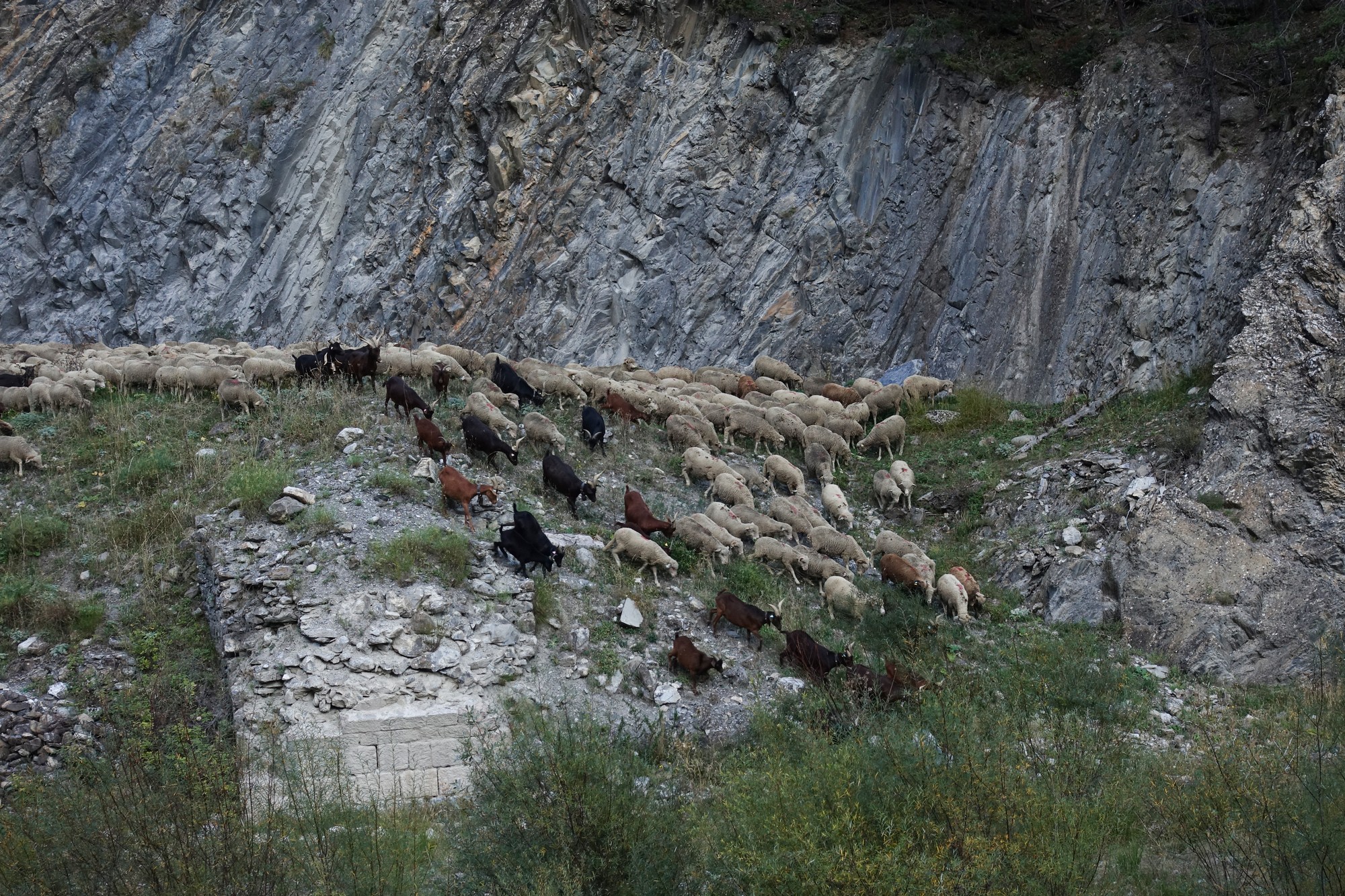
Back among vegetation, the sheep and goats were once again distracted by the task of eating the scenery, slowing progress
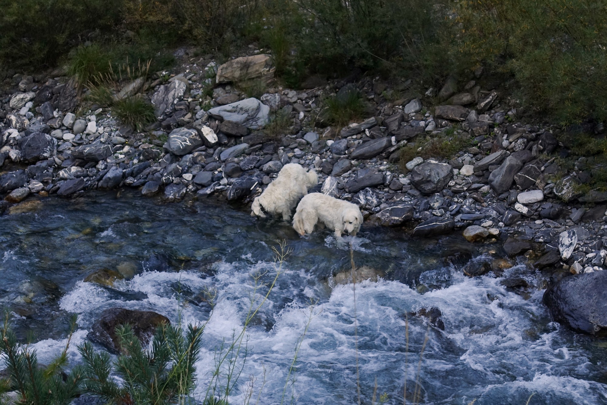
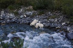
The two patous that had patiently followed the herd went straight down to the river to get a well-earned drink
I managed to shoot some video, but it was really difficult trying to keep up with the action, riding and stopping and holding my camera and the handlebars at the same time, so the compilation below has some shaky footage, but still gives an idea of the spectacle.
So it had been an amazing end to a lovely ride in the Ubaye valley. Needless to say I mentally retracted my earlier wishes about not wanting to see any more sheep with their guardian patous.
The remainder of the ride was just eight miles of gently descending road back to Jausiers. That's another little corner of the Alps ticked off my list.
I got back with my brake calipers clogged up with dried sheep dung!
Further reading
- The strongest earthquake in mainland France in living memory (i.e. excluding Lambesc, 1909) had its epicentre at Saint-Paul-sur-Ubaye on the day of my birth in 1959. There's nothing profound in that coincidence but it's another reminder to me of how things are connected in space and time. More details here: Study of historical seismicity in France
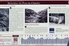
- Notes on an information board near le Pont de Châtelet also make reference to local seismicity and translates as follows:
The Châtelet site is located on a major geological fault which crosses the Valley perpendicularly along the axis of the Serenne valley. This fault caused an earthquake in 1959 which still remains a reference point for seismic activity in France today. - This seismic risk no doubt informs the vehicle restrictions I encountered on yesterday's ride. Saint-Paul-sur-Ubaye is only just over two miles from that prohibited section of road in the adjacent Ubayette valley. See here: Col de Larche
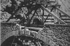
- Like many bridges in France, le Pont de Châtelet was mined in 1944 to hamper enemy movement. The stone arch survived and the bridge was rebuilt after the war. See here for more: Pont du Châtelet (Fouillouse) (in French - right-click to translate)
- Vallon de Maurin - excellent Wikipedia article about the hamlets and other history of the valley. (in French - right-click to translate)
- Transhumance - wikipedia article
- Jausiers - detailed Wikipedia article (in French - right-click to translate)
- Col de Longet, par le ravin de la Salcette - details of the mountain bike route to the source of the Ubaye at the top of the valley. (in French - right-click to translate)
Gallery
Click to enlarge / see slideshow















Wow! And yep 15 degs/hour 😉
Thanks for your comment Jamie. That was my initial thought, considering that the earth rotates 15° every hour (360/24). But I immediately had doubts because the hour lines on a (horizontal) sundial are not at 15° to each other. They vary depending on time of day. So rotating the dial 15° in the plane of the face of the dial would not adjust it by one hour. (More accurately, given that the hour angles range from less than 15° to greater than 15°, there would be one particular time of day when a 15° rotation would adjust by one hour, at that instant, but then the whole dial would be out-of-wack for the rest of the day). The maths gets a bit involved so I’m going to stop thinking about it before my head explodes. Suffice to say I’ll refrain from trying to move any sundials I come across to adjust for summertime!
Cheers