Distance: 42.9 miles. Elevation: 6789 ft.
Col du Solude | Col d'Ornon
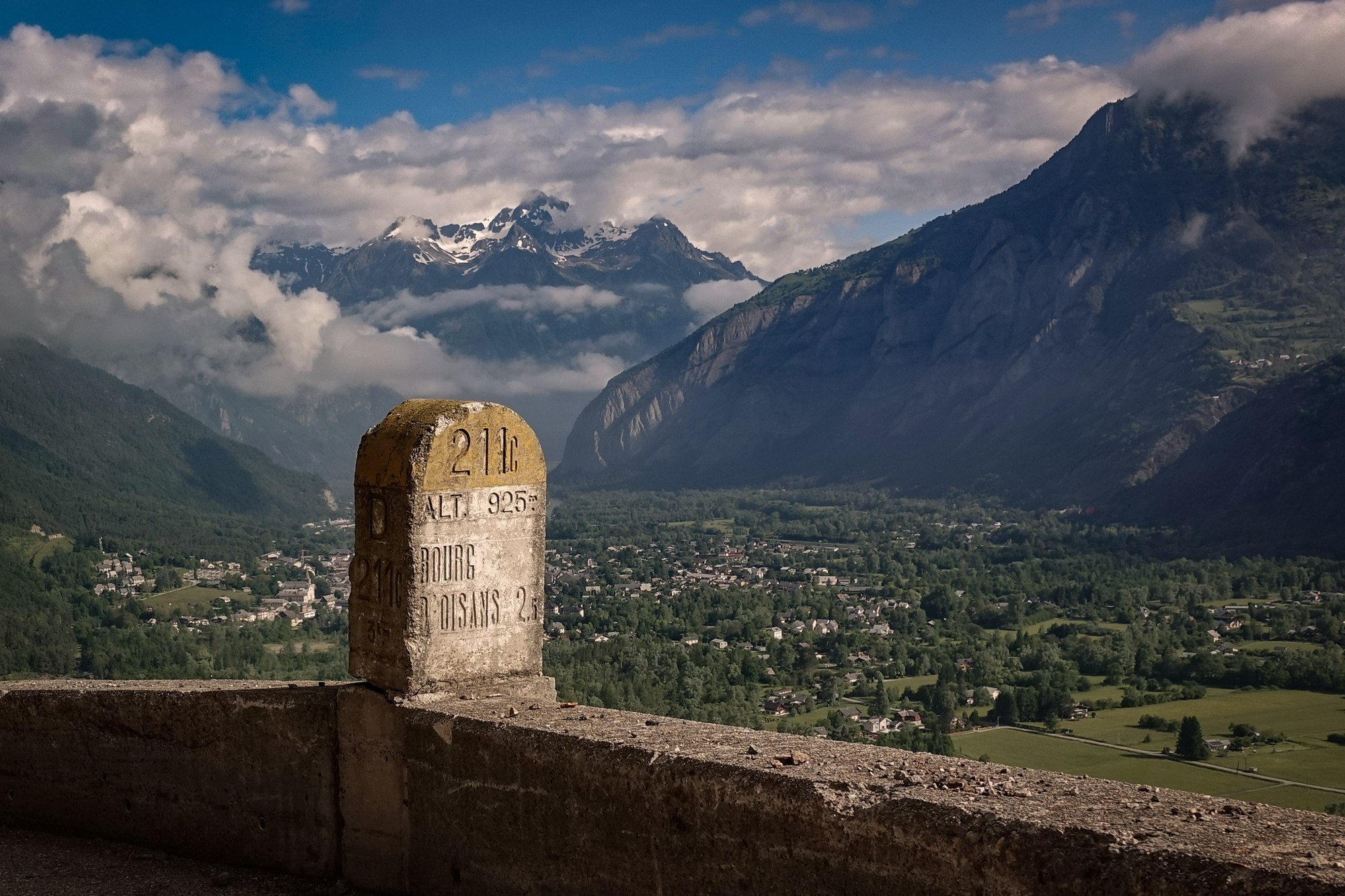
Today’s ride to Villard-notre-Dame was based on a route that has been on my list for a few years. I thought I’d make it into a loop, to incorporate Col du Solude, Col d’Ornon and the climb to Oulles.
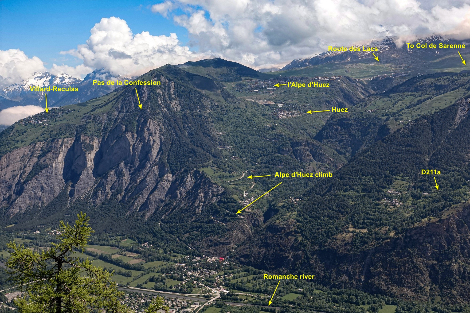
The main ‘raison d’être’ of this ride is to experience the balcony section of the D219 road that is carved out of the rockface overlooking the Romanche valley. This road, on the western side of the valley is almost a mirror of the D211a which is a balcony road on the other side of the river basin that I rode three years ago. Each road can be seen from the other.
For reasons I can’t recall, I started this ride early in the day and left at 8:25 am. I was first greeted with the view eastwards along the Eau d’Olle, a tributary of the Romanche, whose source is up near Col du Glandon.
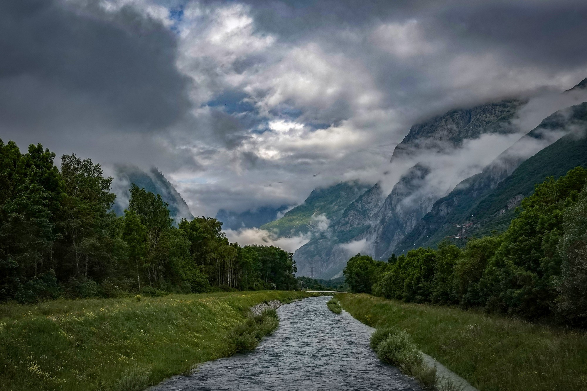
The five miles of long, straight main road to Le Bourg d’Oisans wasn’t an enjoyable experience, riding alongside the morning traffic, although there was a cycle lane for most of the way. [A few days later I discovered a much nicer way of getting there]. The temperature wasn’t too bad at around 12°C. I had my arm warmers and rain jacket on.
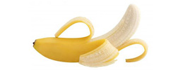
Just through Le Bourg d’Oisans comes the turn off for the D219. A sign post warns of the ‘dangers’ of the unlit tunnels. I took my rain jacket off here and had a banana, ready for the climb.
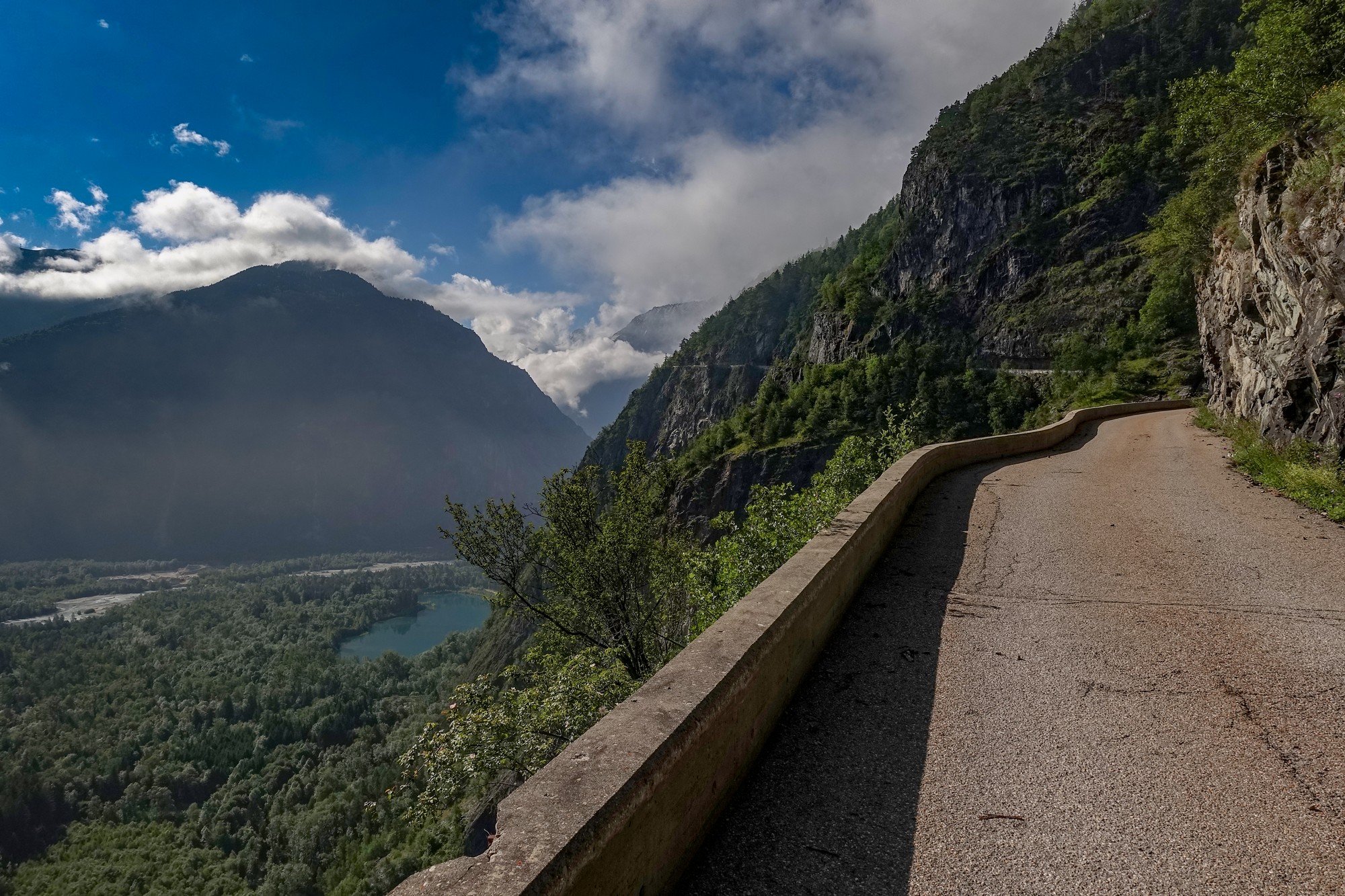
I find that sign in the photo above to be somewhat hilarious. All along the road ahead is a sheer drop of hundreds of feet, guarded only by a small wall or sometimes nothing. Serious injury or death would be the result of going over the edge, but they put a sign up warning about the tunnels, possibly the safest part of this route!
Ten minutes of riding among the trees at 9.5% leads to the first tunnel, Le Tunnel du Pontet.
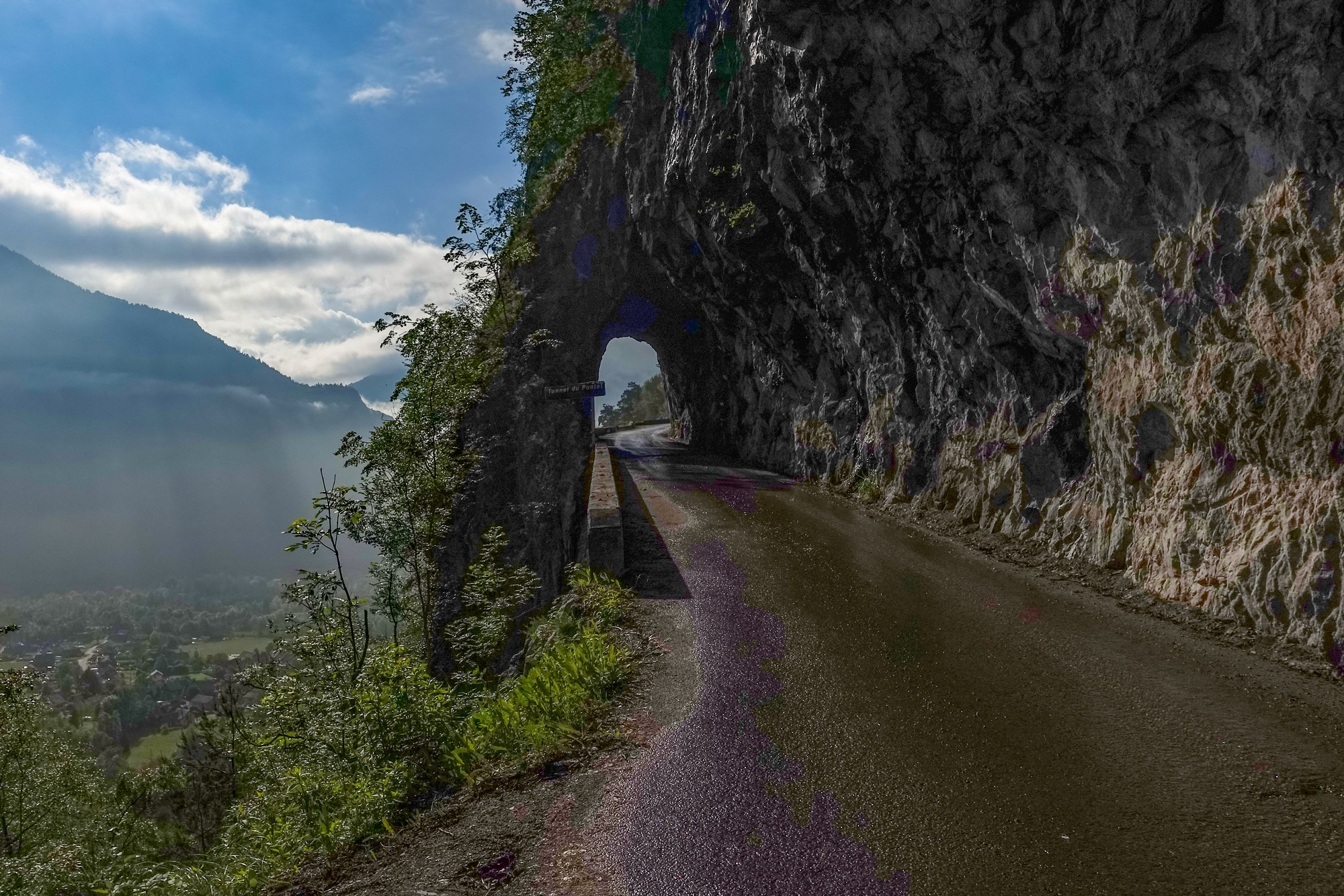
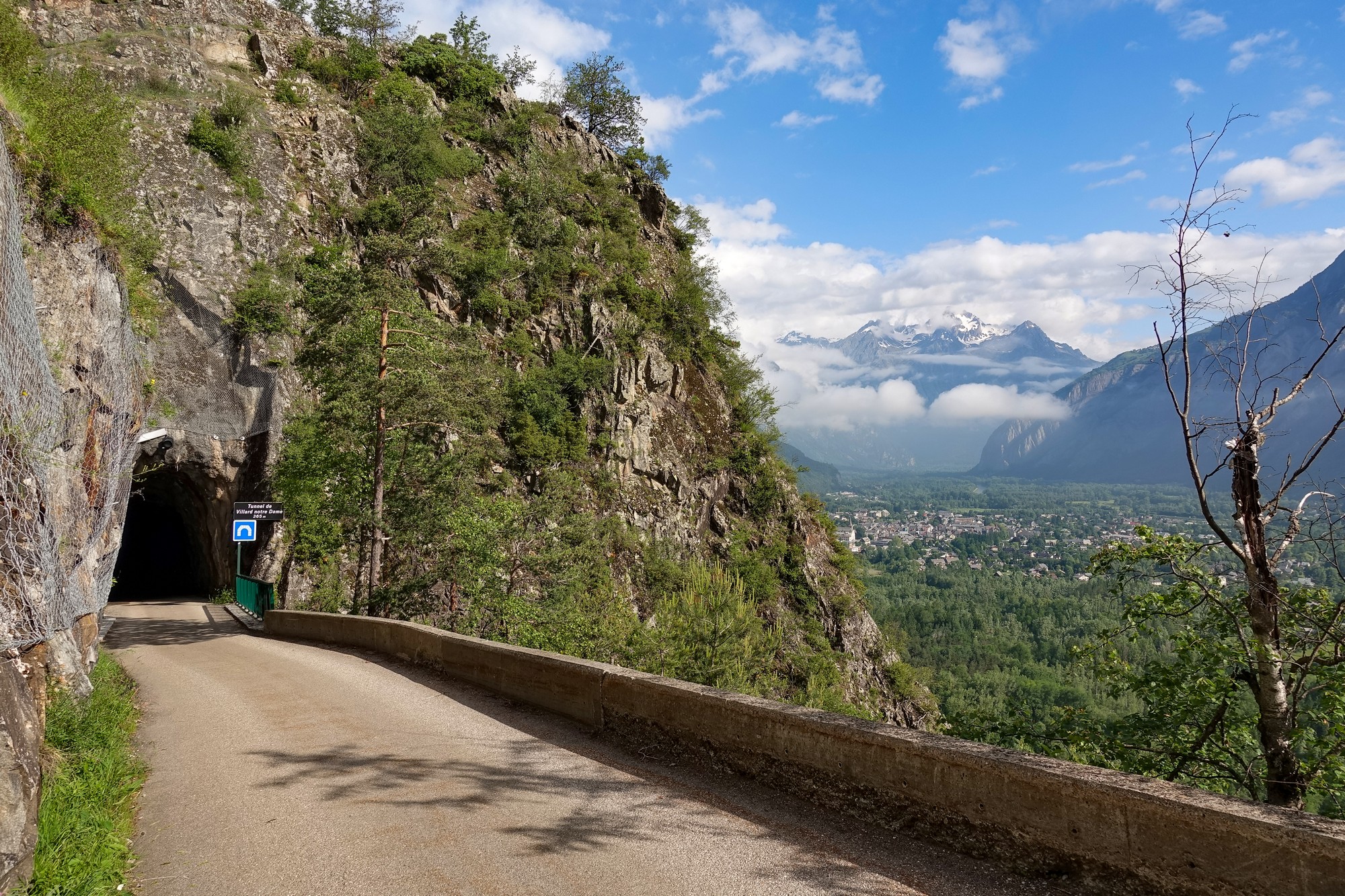
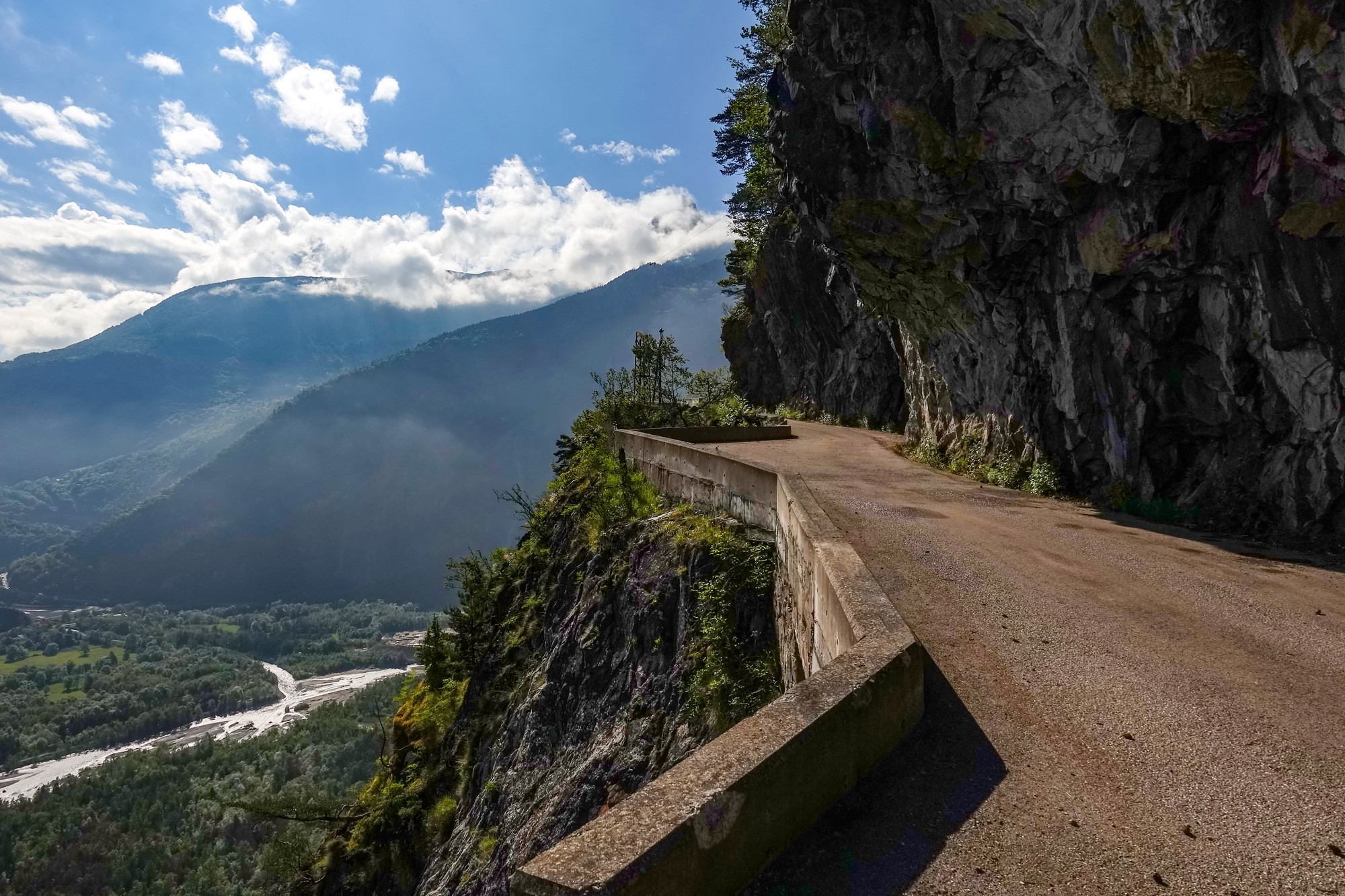
And that’s where the exciting and spectacular part of this road begins, carved as it is into the almost vertical rockface.
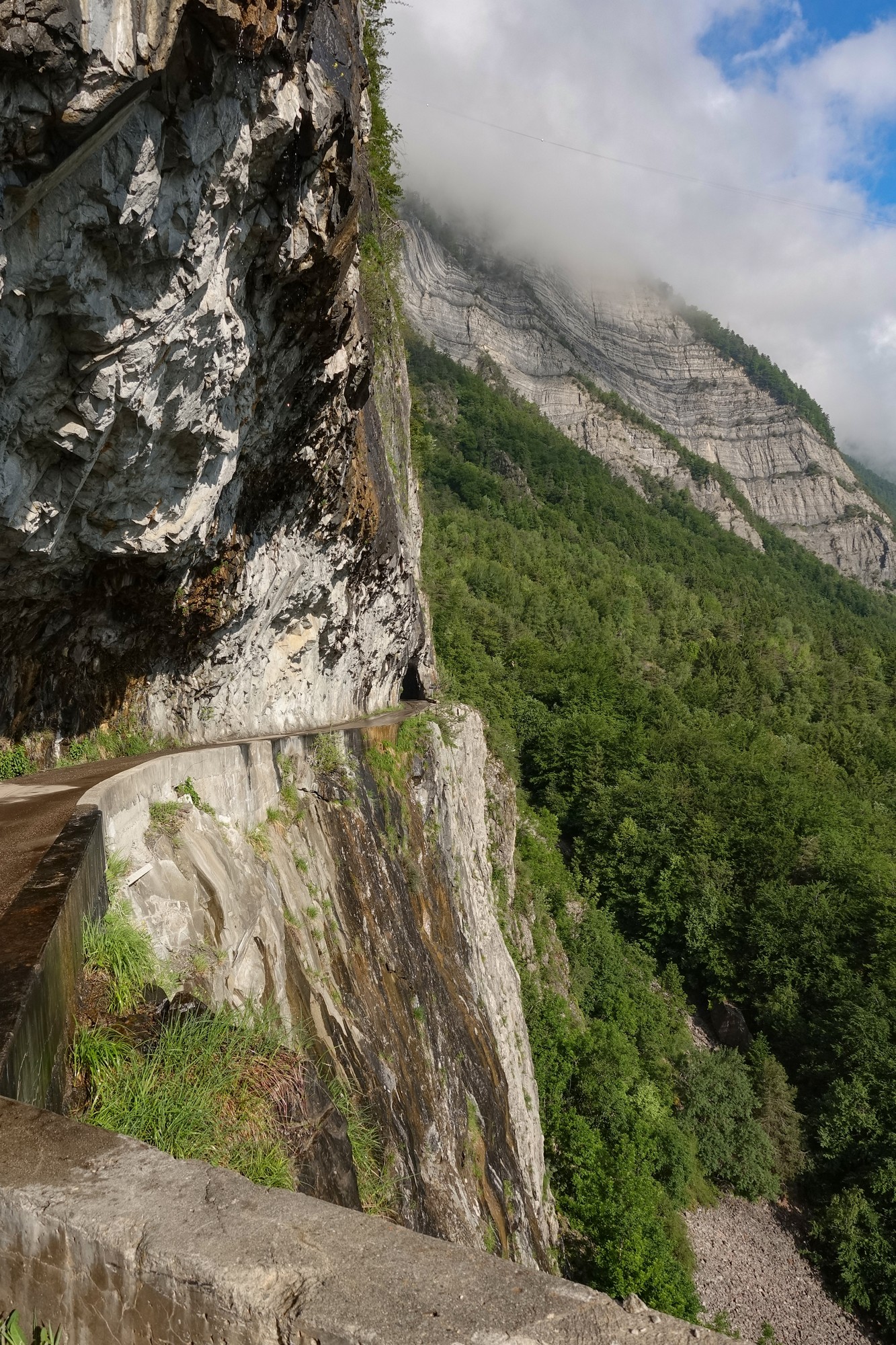
A few hundred metres later is the Tunnel de Villard notre Dame, the longest of the four at 365m.
Unfortunately someone has ruined all the fun by installing lights in the tunnel, making that earlier warning sign even less pertinent.
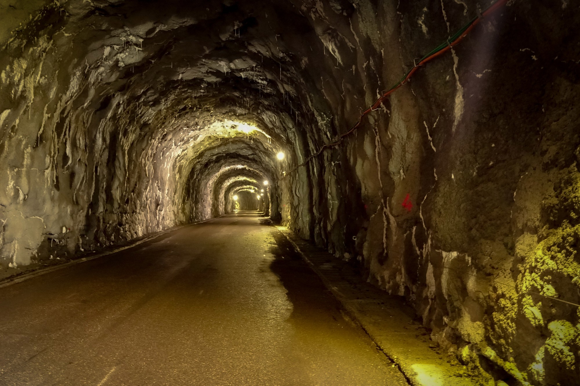
Inside the tunnel, water seeps through the rocks and drips on the road (and me) along its whole length, the roof covered in small stalactites.
Half a mile and lots more photographs later comes the third tunnel, Tunnel de la Gardette.
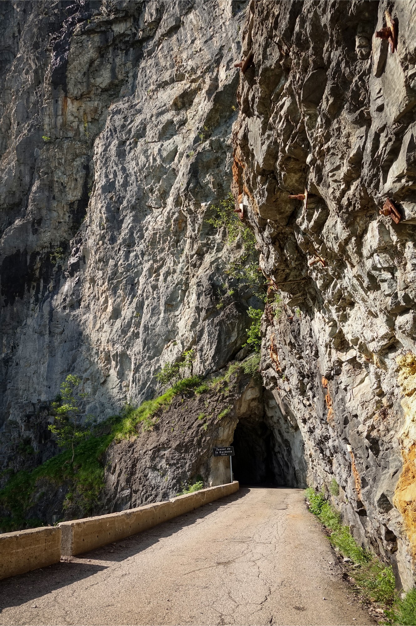
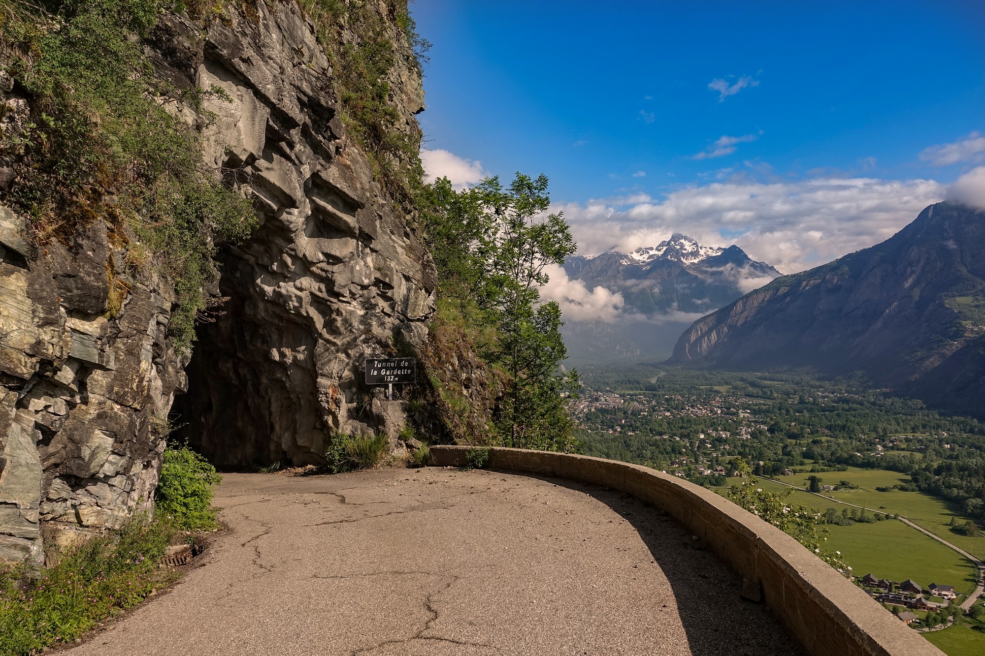
As mentioned, the tunnels are pretty wet inside, so for the final one I put my rain jacket back on and covered my camera case with its waterproof cover. That was a good move because I got showered on several times while riding through it.
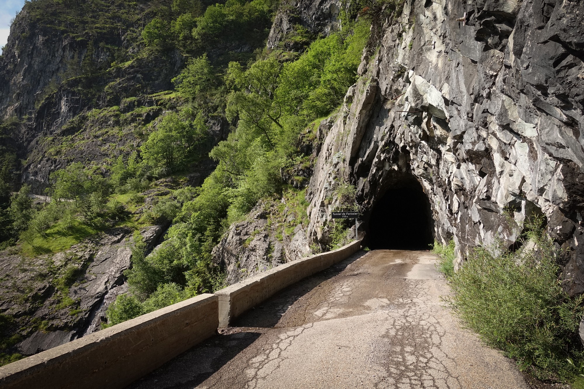
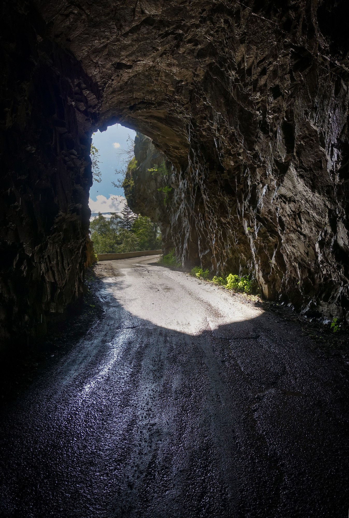
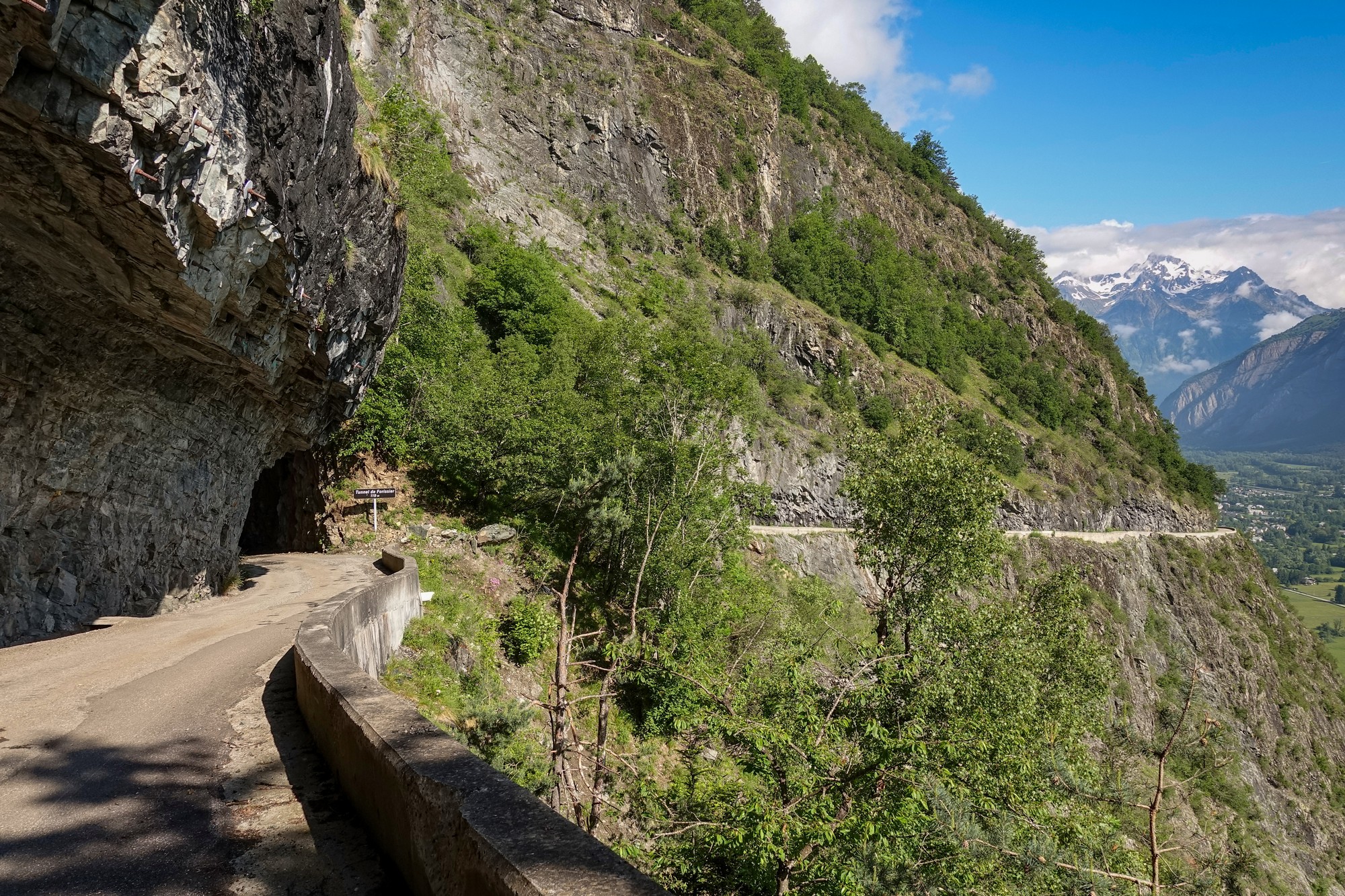
By this point I had ridden just over one mile from the beginning of the climb and it had taken 45 minutes, only 15 of which were riding, such were the distractions of this amazing road.
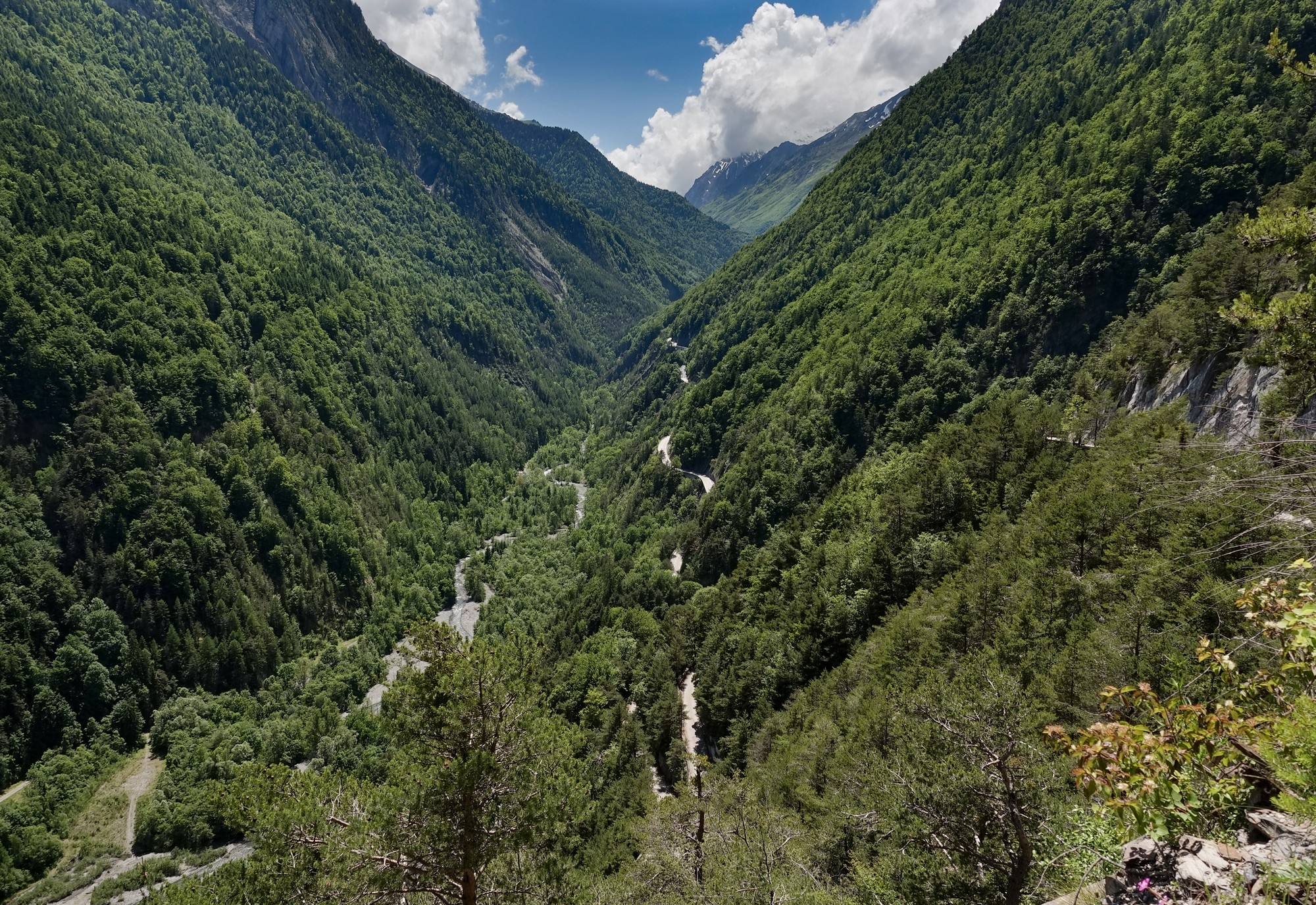
Beyond the final tunnel there’s another half a mile of balcony before the road switches back on itself and zig-zags its way up the steep mountainside.
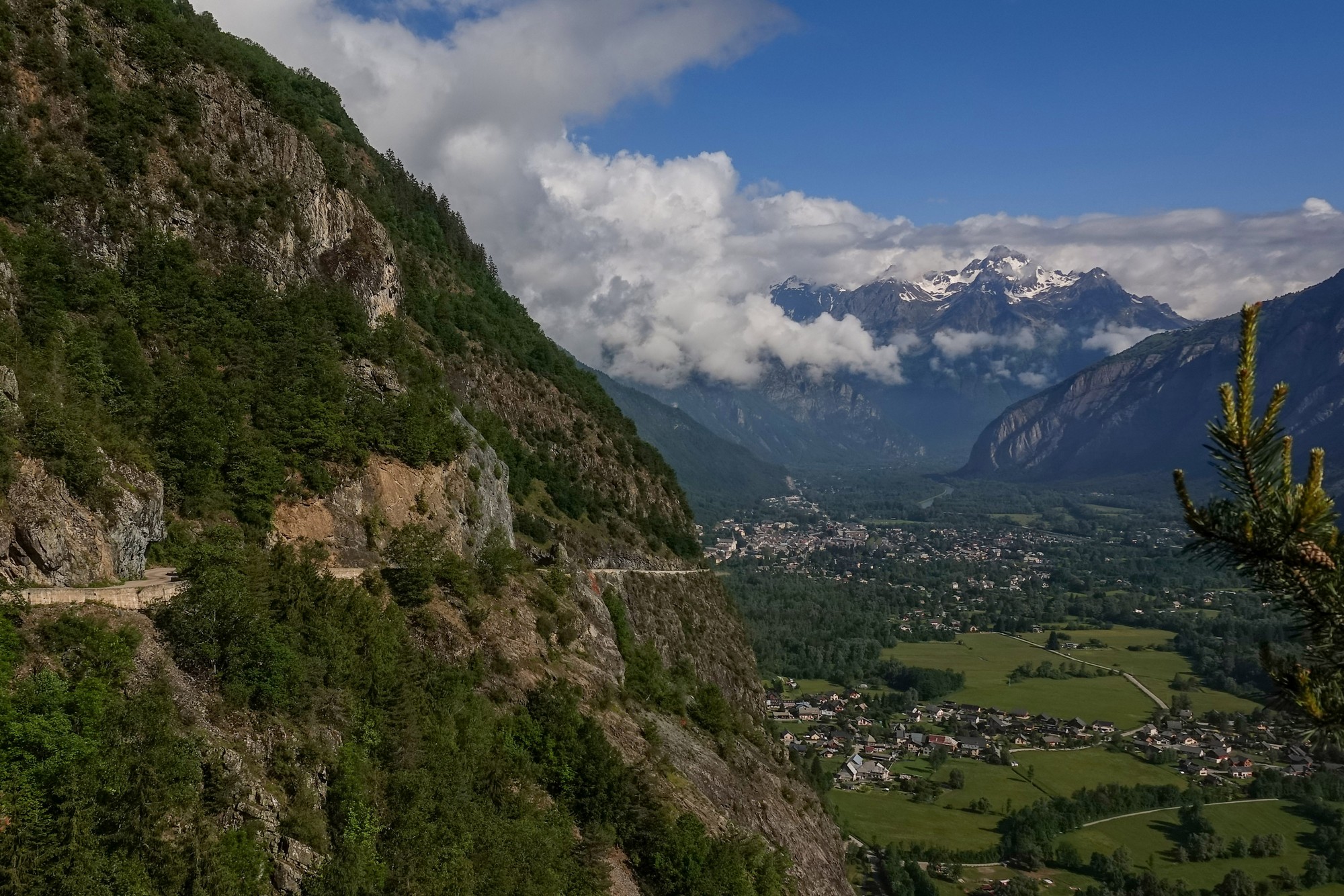
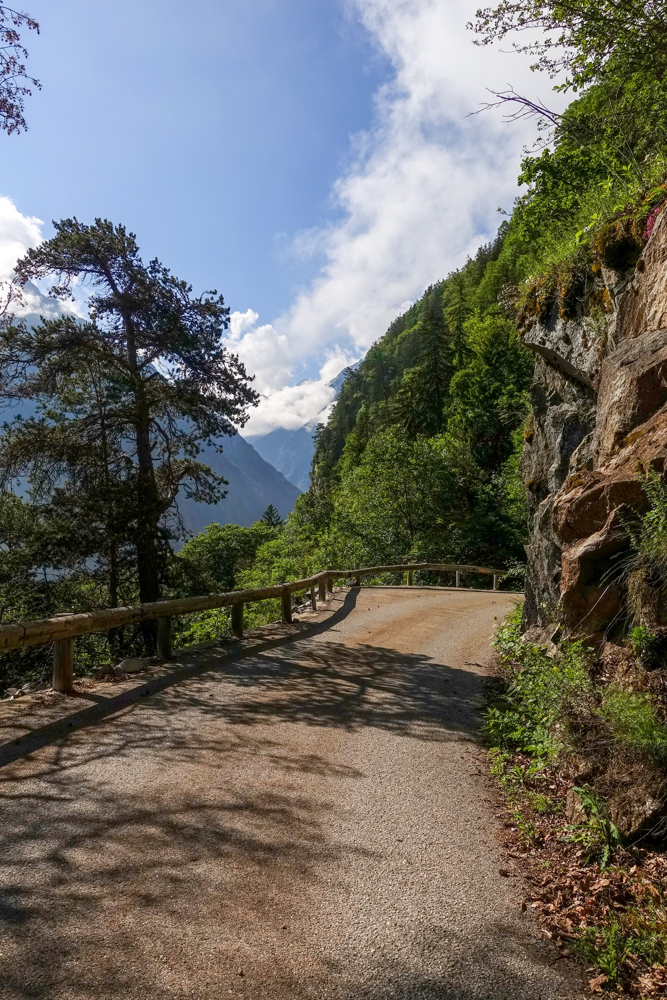
The following three miles at more than 9% felt steeper, but that was probably just because I was not stopping so often for photos. Trees mainly obscured the view although there were some breaks through to some spectacular scenery at times.
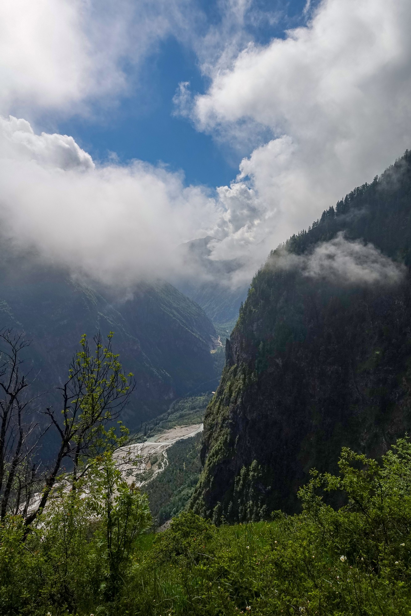
Eventually I arrived at Villard notre Dame.
I had only passed a couple of cars and no cyclists to that point.
After Villard notre Dame the road continues to climb at 8% for another mile, but with a much poorer surface.
It levels out through pasture
Then it’s back into the trees on what is now a gravel track. The only vehicle that passed me was a road maintenance team. As I came around one bend I heard something large sliding down a cleared slope to my right. The road guys had just pushed a large tree trunk over the edge. Presumably it had been blocking the road.
From that point on there were frequent clear views across the valley to my right, offering aerial views over Le Bourg d’Oisans and of Alpe d’Huez on the other side.
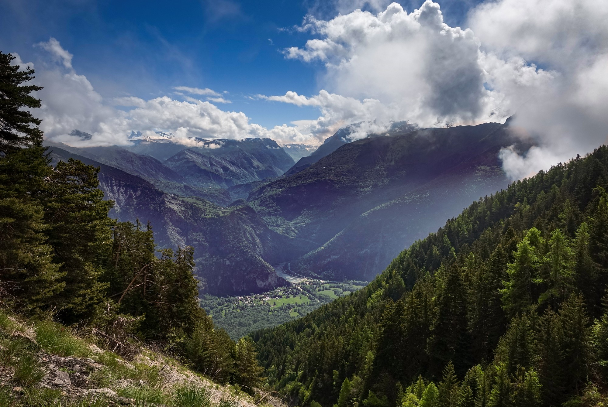
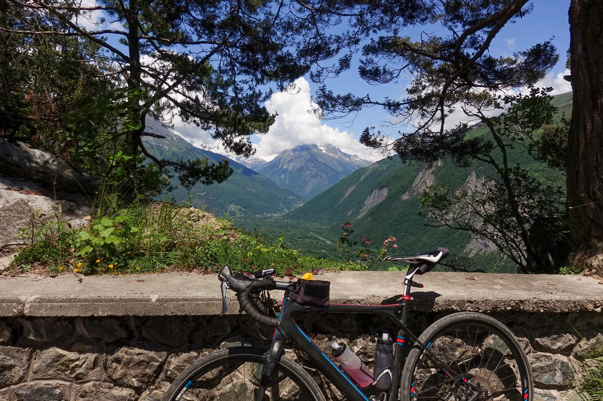
The road condition is ridable but with puddles and holes and fallen debris in the form of stones and bits of trees. I stopped at a place with a clear view over the valley to make notes on my phone.
As I was standing there making notes, a dutch rider arrived, only the third cyclist I’d seen all day. We started chatting. There’s a huge dutch charity event called Alpe d’HuZes happening on Thursday (two days after this ride) in which riders climb Alpe d’Huez six times in a single day to raise funds for cancer research. He, naturally, was going to enter. He said they start at 4 o’clock in the morning, in the dark, and we both agreed how amazing it would be to view it that early from where we were standing, looking across at all the bikes forming a chain of fairy lights zig-zagging its way up the lacets of the famous climb opposite. I said jokingly that I’m not coming up here at 4am to see it! He was aiming to do the climb 4 times.
He had come from the opposite direction to me over Col du Solude. I warned him about the soaking he might get going through the tunnels. As we stood there talking, a road-sweeping truck came by behind us.
We looked at each other in astonishment. I joked “Only in France…”. To be clear, it wasn’t actually sweeping the mountain gravel track but it was so humourously out of place to see that vehicle up there.
We said goobye and I wished him good luck on his charity event on Thursday.
Standing there I realised that I was somewhere above the balcony road I’d been on earlier. There was no sign of it below. Looking at a map later revealed that it was 2,000ft (610 m) further down, with another 1,000ft (300 m) down to the valley floor. That sort of scale just doesn’t exist in my part (nor indeed most parts) of the UK.
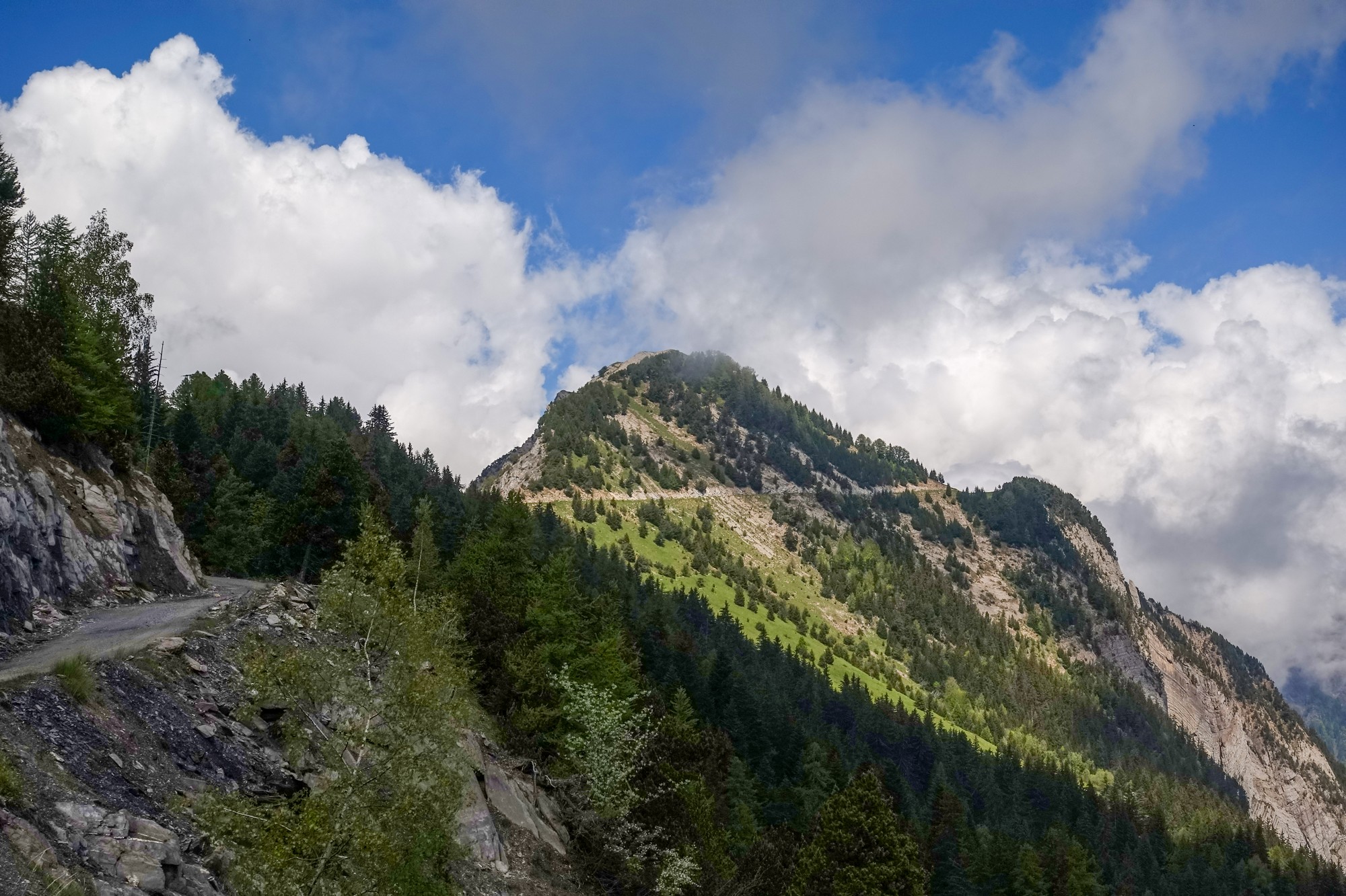
I ate half my CST sandwich before continuing the journey. The road started to climb steeply again. At first there were still spectacular views to my right, but then came more trees just as the road switched back on itself before heading over the top of the ridge at Col du Solude. There was no col sign there. In fact I didn’t know at which point I’d passed it until after the ride.
The road descends steeply past a cluster of buildings forming the commune of Villard-Reymond, beyond which the road has a proper surface. As the road twists its way deeper down between the mountains, it feels like there is no way out as the rocks form an ever higher wall all around.
After another five miles of steep descent the road finally breaks out of the rocky bowl of Combe de l’Aiguillette using the same escape route as that taken by the stream, Ruisseau de Villard-Reymond. It joins the main D526 road, at which point I turned south and started to climb again towards Col d’Ornon. The road surface was perfect for this 45-minute, fairly easy, 6.5% drag up to the col, albeit into a stiff headwind. I saw more and more cyclists descending past me, and when I reached the col there were twenty or so riders, nearly all dutch. They’ve all come for Thursday’s charity event and are understandably getting in some other rides while they are staying in the area.
I made some notes on my phone while standing in the sunshine and warm breeze. I put my rain jacket on and started back down from the col the same way I’d come.
The descent from Col d’Ornon was very fast on nearly perfect roads, all the way down to the turn-off to Oulles.
The road had been recently re-surfaced and all the barrier wall looked new – and ugly – I hope they do something about that. The road follows the Lignarre river (a tributary of the Romanche), whose source is somewhere up near Col d’Ornon. Most roads through the Alps follow the already carved courses of rivers.
After six miles of descent from Col d’Ornon came my final ‘optional’ climb of today’s ride – the road to the village of Oulles. I hadn’t fully made up my mind to do it, but I figured I could easily turn round at any point if it got too much, and freewheel all the way back to Le Bourg d’Oisans.
So I turned off and started the four-mile 9% climb to Oulles. Most of it was in direct sunshine, unfortunately. According to Wahoo data, the air temperature was around 22°C at the foot of the climb, and rose to over 30°C as the day warmed up.
With already 5,000 ft of climbing in my legs, over the previous 24 miles, I began to find it a bit of a struggle. I stopped several times on the way, and was having a text conversation with a friend. One of those messages reads “I’m just about to give up on the last steep climb of the day”. I had pretty much made my mind up to turn round and call it quits, and yet I kept grinding my way up there just to see if I could get a bit further. The stops obviously helped me to recompose myself.
This road to Oulles was built in 1962, prior to which the only means of accessing the village was via a mule track. I saw a sign pointing to “le chemin historique”, the old path. Information on the notice board translates as follows:
“Before the road was opened in 1962, this mule track was the direct route from the valley to the small village on the mountain pastures in the foothills of the Galbert massif.
Today, the restoration of 3.5 km of the once neglected path allows us to rediscover its arduous and picturesque route among vegetation that varies with the altitude, against a backdrop of plunging views towards the Lignarre and panoramic views of the Ecrins.
After climbing 615m from the road, you’ll pass by the village’s old slate quarries and the oratories that once accompanied the local returning home, the peddler or the courageous visitor.”
There’s more info below including a link to the Oulles website which has a video of the inaugral walk on the “reopening” of the old path a few years ago.
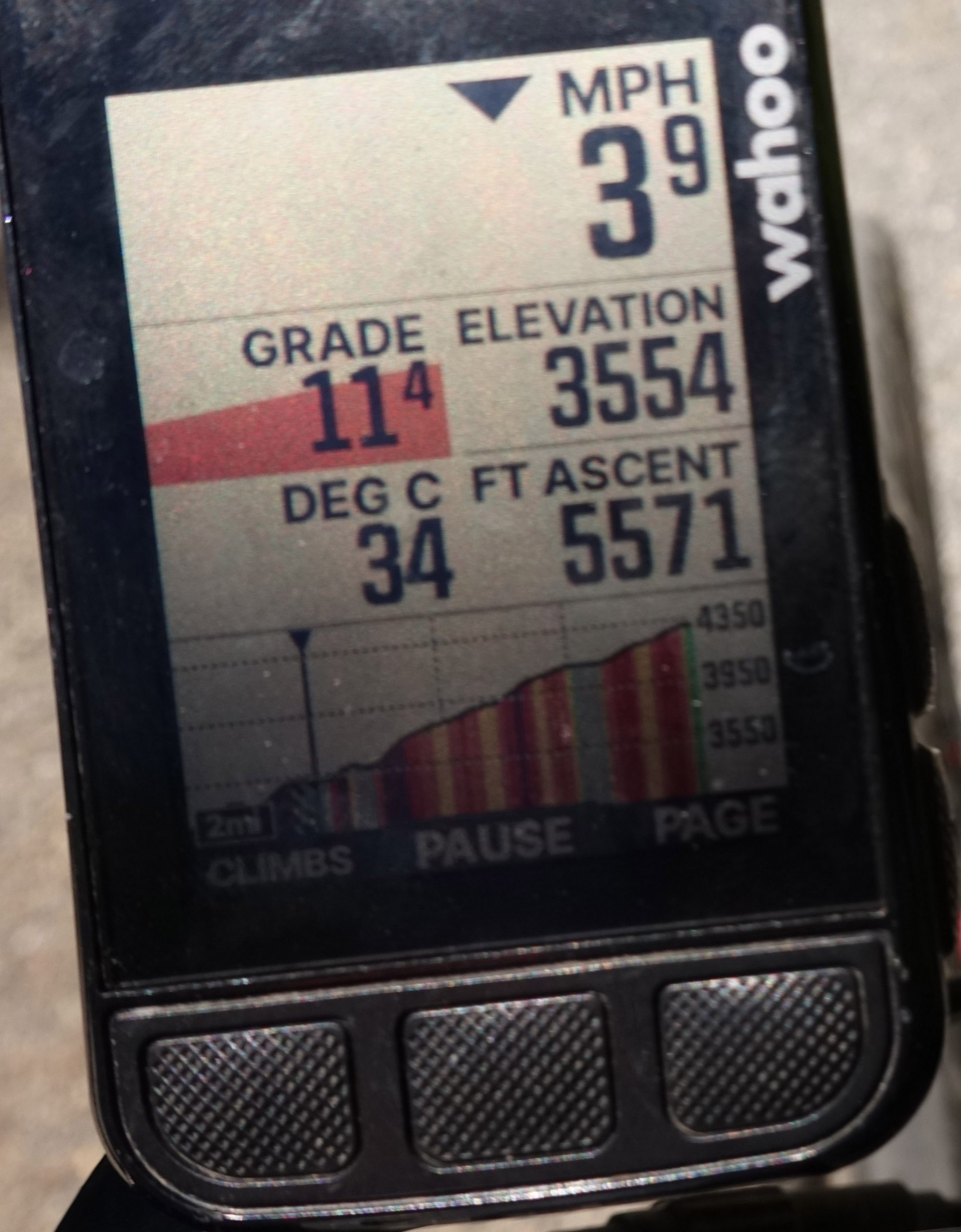
To get that photo of my Wahoo above, not only was I climbing at 11% but I had to hold my camera in one hand while doing it!
I was encouraged by the only sign that I’d seen on the whole climb, which said 2.8km to go, and even more encouraged when it said 7.6%.
It took me most of this climb before I realised that each switchback is named, with a corresponding sign including number and elevation, trying to go one better that Alpe d’Huez!
Well, that sign saying 7.6% may have been encouraging to me at the time, but I realised after the ride that it is completely inaccurate. The sign is not at 1195 m, as stated. It is at 1160 m (it’s right next to the Notre-Dame sign above which correctly shows 1160 m). The arrival sign at Oulles (below) correctly shows 1400 m. So the altitude difference between signs is 1400 – 1160 = 240 m. The distance between signs is correct at 2.8 km. So 240/2800 = 8.6%. Maybe they are trying to encourage riders to not give up at that point! It certainly worked for me!
Just after that I saw a cluster of buildings much higher up the mountain and assumed it must be the village. After another twenty five minutes of that 8.6% ramp, I reached Oulles.
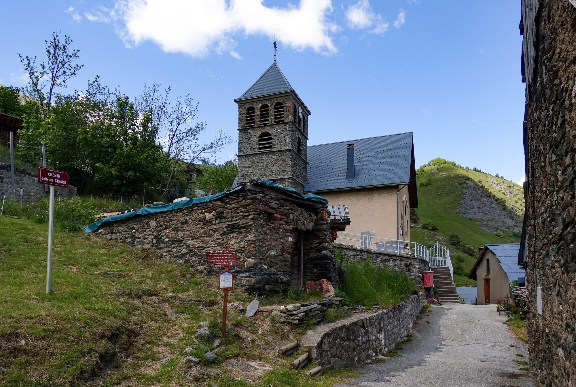
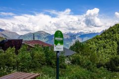
I sat on a picnic bench by the arrival sign and ate the second half of my CST sandwich, while making notes on my phone about the ride so far. Midway through doing this, a couple of dutch riders arrived – the only other people I’d seen on the whole climb. We had a brief chat about various stuff, including my 35mm tyres, and whether the nearby water fountain would be ‘eau potable’ (drinking water). We concluded that it must be, in the absence of any sign saying otherwise. They were both going to be doing the Alpe d’HuZes challenge on Thursday. I wished them ‘Bon courage!‘ before they left, and finished my sandwich while taking in the view.
I topped my bidon up at the nearby water trough and put my rain jacket back on. The descent from Oulles is steep and technical and with some jarring, uneven surfaces. The main thing I noticed was that there was no sun on the road at all. Bloody typical! I had slogged up there in the blazing heat and five minutes later it was in the shade!
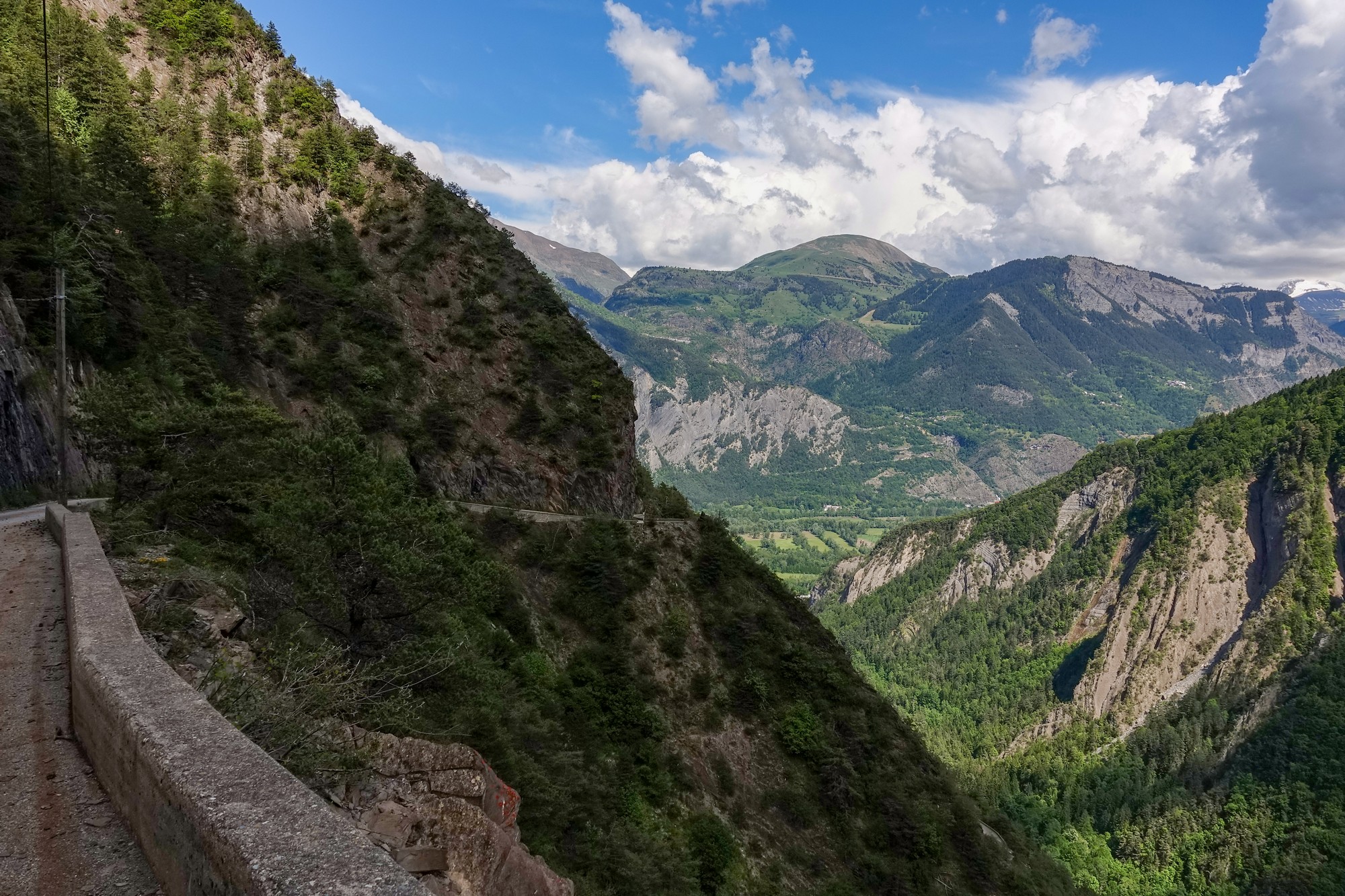
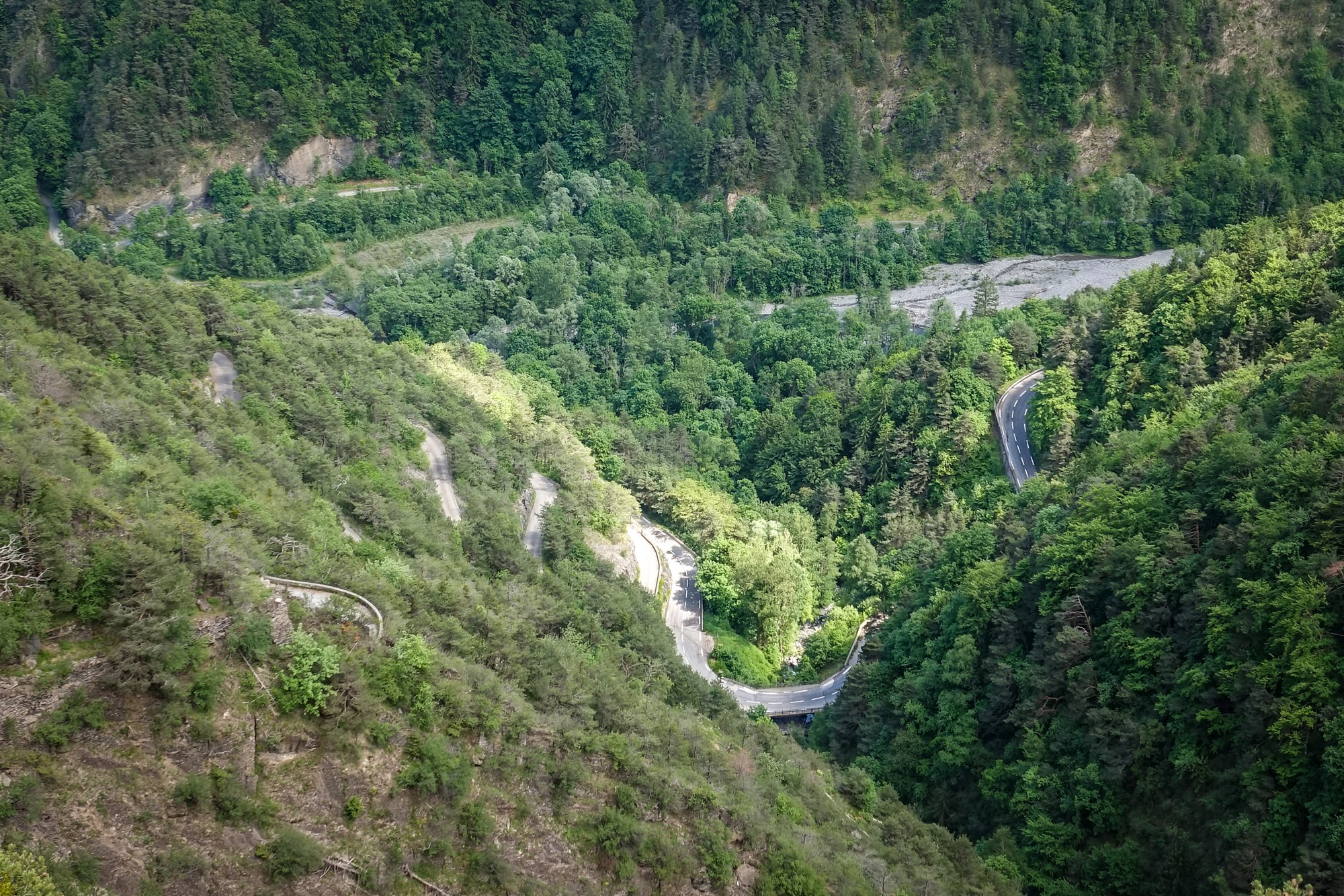
Back on the main road I once again enjoyed riding on that perfect tarmac as it swept down the remainder of the valley, clinging to the edge of the mountain, with a massive, but diminishing, drop to the right, down to the Lignarre river which itself was coming to its end as it flowed into the Romanche river basin ahead.
A few minutes later I too was back down in the Romanche valley and had just over three miles along that straight main road back to my campsite, another longstanding objective having been finally realised.
Ride Notes
- Early start – I’m really glad I started this ride early because it meant the balcony road was in the sun. Unlike the D211a, on the opposite side of the valley, this road, facing NE, spends most of the day in the shade.
- River Vénéon – I mentioned the wonderful road to La Bérarde above, but unfortunately, a few days after this ride, a heavy storm resulted in extensive damage caused by the river Vénéon flooding (more info below).
- Never give up – I was on the brink of giving up on the climb to Oulles, and yet I made it OK in the end by persevering.
- Don’t believe everything you read – Not for the first time I’d discovered that not all signposts are accurate. Often the gradient calculation is correct, based on the given altitude/distance, but the altitude is in fact wrong, rendering the end result incorrect. It was strange today that there were two signs near each other, only one of which had the correct altitude.
Further reading
- Alpe d’HuZes The Dutch money-raising challenge for cancer research
- Oulles en Vie – website for the village of Oulles
- Vénéon valley flooding
- The Prégentil headland – Details of walk from Villard notre Dame to Prégentil
- Romanche (rivière) – Wikipedia article about the Romanche and its tributaries
Fuel
Gallery
Click to enlarge / see slideshow






Thanks for taking the time to post this great report Vince, your outstanding photos triggered some great memories of these climbs. I’ve ridden up through Villard notre dame in the same direction as you and was puzzled that anyone would want to descend that road, as it was scary enough going up it! I seem to recall that there was a fence made out of old skis just as you entered the village at Ouelles?
Thanks as always for your comment Martin. I’m glad to have refreshed your memory of this spectacular road.
I agree – I wouldn’t fancy descending the balcony section.
I can’t say I remember seeing the ski fence, but by that time my mind and senses had been well and truly blown!
Cheers