Distance: 76.1 miles. Elevation: 12908 ft.
Col de la Cayolle | Col des Champs | Col d'Allos
It’s not often that three 2000m+ alpine cols can be summited in the same ride, within reasonable bounds. Les Trois Cols, a well-known loop in the Parc national du Mercantour, links the Col de la Cayolle, Col des Champs and Col d’Allos for a challenging but doable ride.
Originally I had planned a route from Guillaumes, in the south, taking the cols in a clockwise direction. That would have added another ten miles and 1200 ft of fairly gentle climbing to today’s figures. At some point I had redesigned the route to leave instead from Barcelonnette, possibly the traditional start to this loop. I then had to decide which way to go round. Based on elevation profiles, it looked like going clockwise would give me gentler climbs and steeper descents, at least on the Cayolle and Allos. So I opted for this easier-sounding version. After having now completed the ride, I saw this page evaluating the pros and cons of each way, concluding that anti-clockwise would have been better. And from my experience today, I would concur with almost everything in the article.
I had wanted to do this ride last Wednesday, but just before commiting to it I thought I’d check local road conditions at inforoute. I was frustrated to see that the Col d’Allos road was closed for soil and rock retaining work except for lunchtimes, evenings and weekends. Damn! Foiled once again by France’s comprehensive road maintenance! I briefly considered the idea of doing the ride such that I would arrive at that part at lunchtime. But it was too risky. I wouldn’t want to get stuck between all these mountains. (Ironically, just thinking back on this, I would have been OK, since it was after 5pm when I arrived at that section of road on the Col d’Allos today, so it would have been open had I done the ride on Wednesday – oh well..)
I have already previously climbed two of these cols from Barcelonnette: Col de la Cayolle, and Col d’Allos. So I had some previous data to go on. Roughly, a 70-mile ride at a possible 7mph would take 10 hours. Added to that would be the time taken for photos and food stops, making at least eleven hours in total, probably more. So I needed to leave early and take both bike lights in case of a late return.
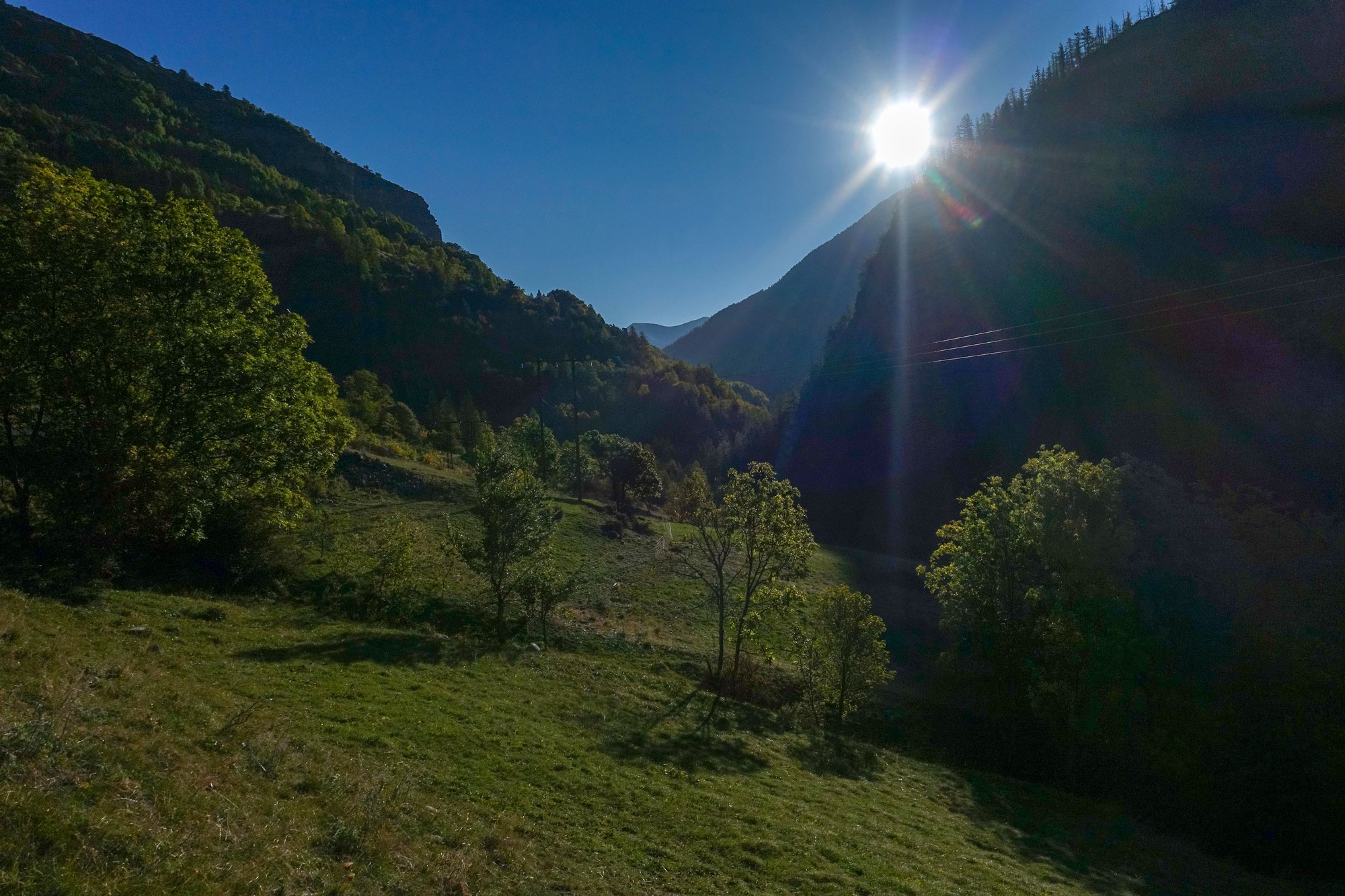
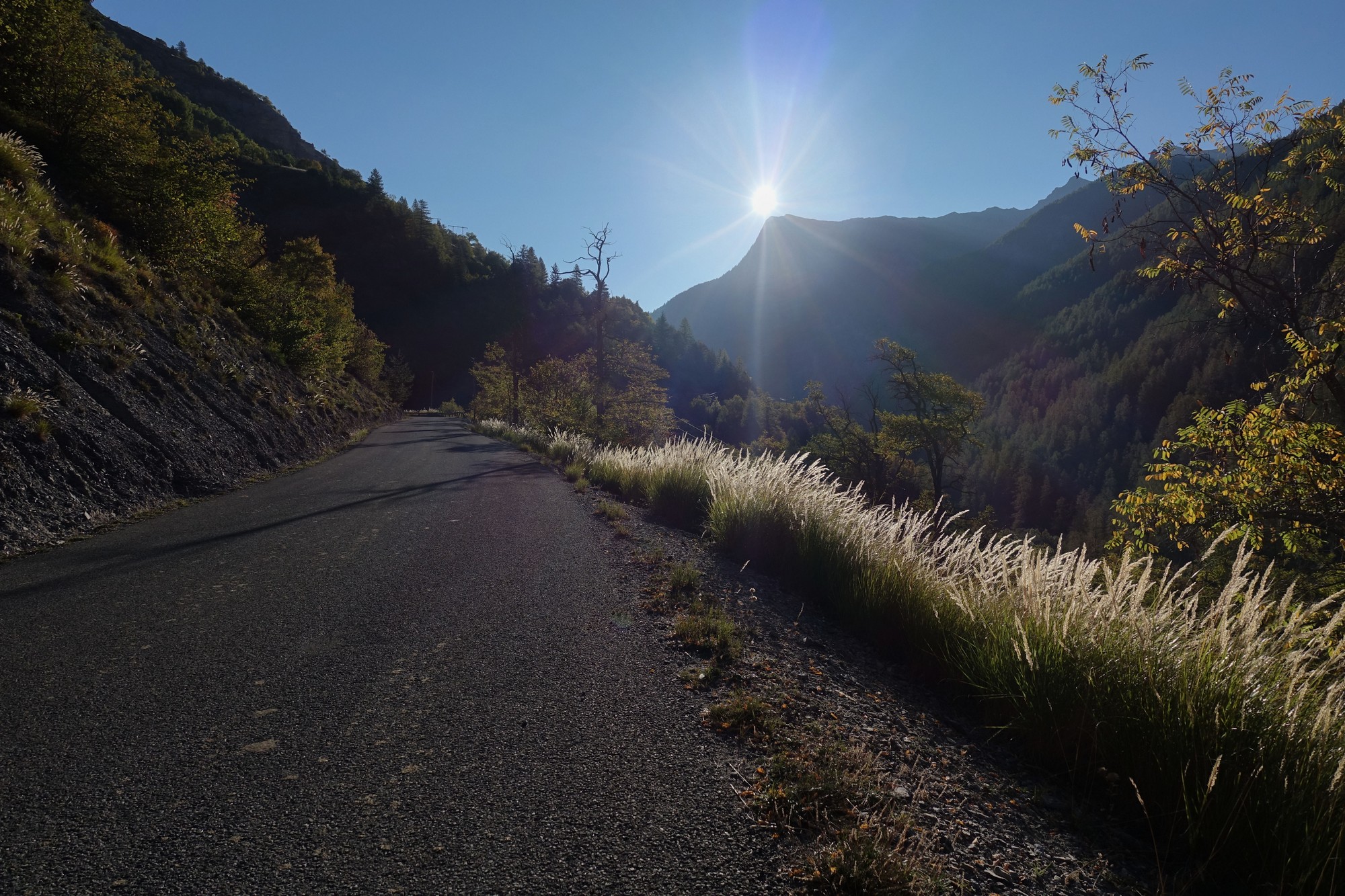
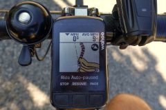
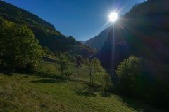
I woke at 7am. It was still pitch black, so I left it another half hour before getting up. I had prepared everything last night, so I just had my breakfast, and the now customary pre-ride banana, got ready and set off into the early morning cold air. I was wearing my arm warmers, snood, cap and rain jacket but it was really cold. My Wahoo recorded a temperature barely above freezing. And I can believe that. Within a mile or so my hands were so cold I could hardly operate my gear shifts (and that’s DI2!). I kept stuffing each hand under my arm in an attempt to warm them. I knew that once the climbing got steeper and hopefully I got some sun on me, I would warm up. There was a cloudless sky but the sun was below the mountains. I was hoping to feel some sun on me once the route turned east into the Bachelard Valley after leaving the gorge section.
After an hour or so, I felt more comfortable, warmed by the effort and only sporadically by sunny sections of road. Temperature was now reading 8 or 9ºC.
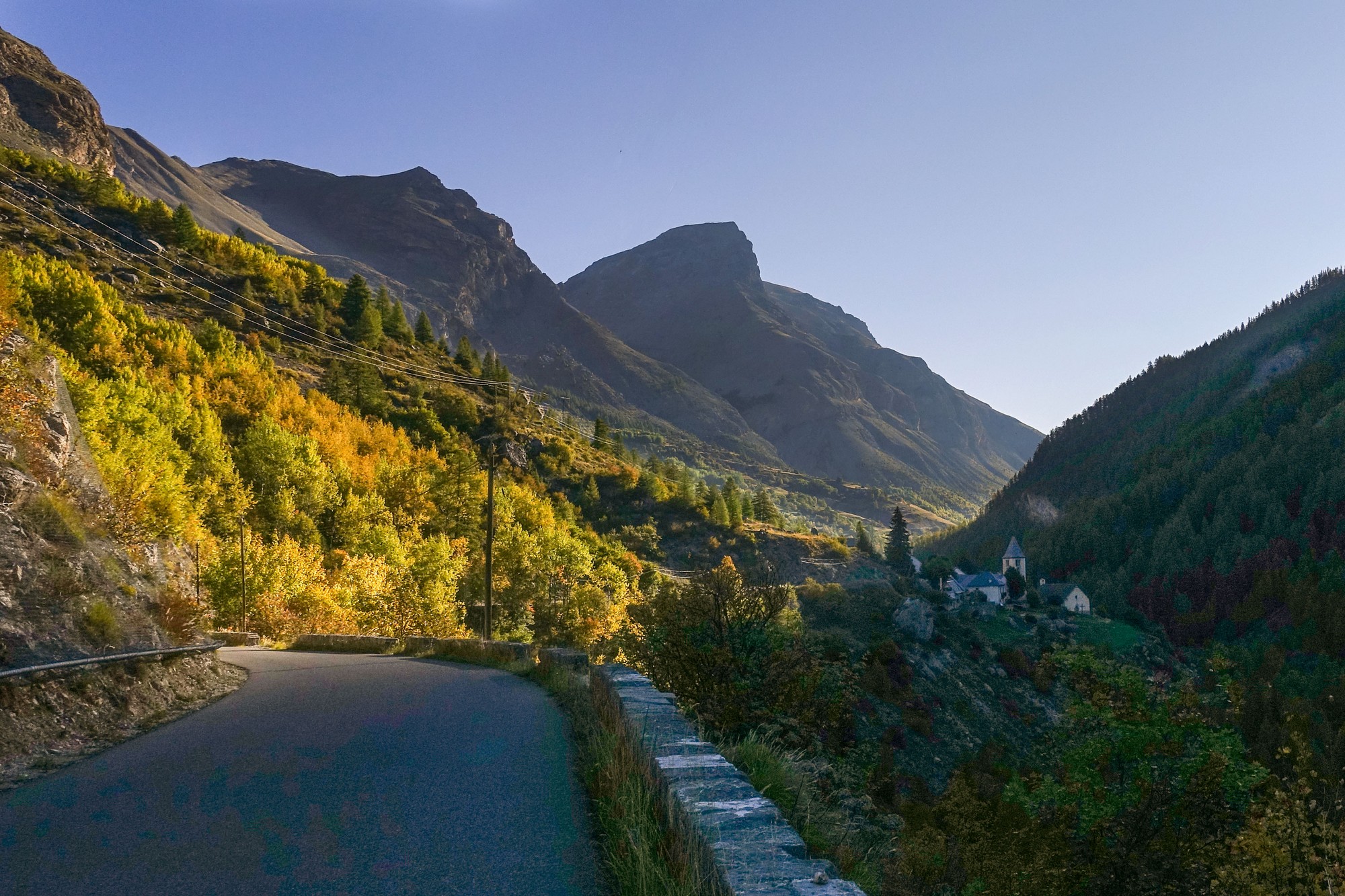
There was a slight headwind, but that was expected and would help later on the ride. I had predicted almost no traffic, but in fact there was a vehicle going by every once in a while. I was glad when I got to the sunny part of the valley. From that point on I was never cold until the very end of the day.
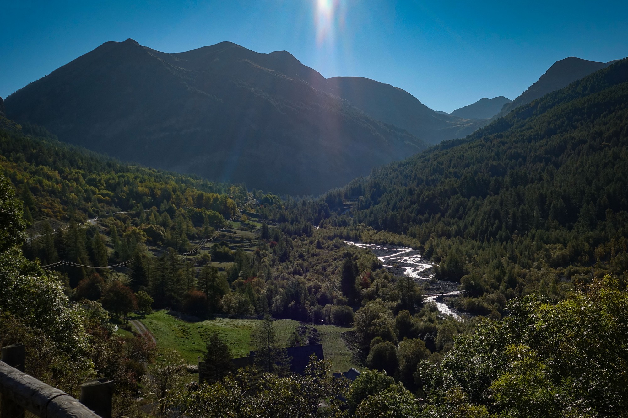
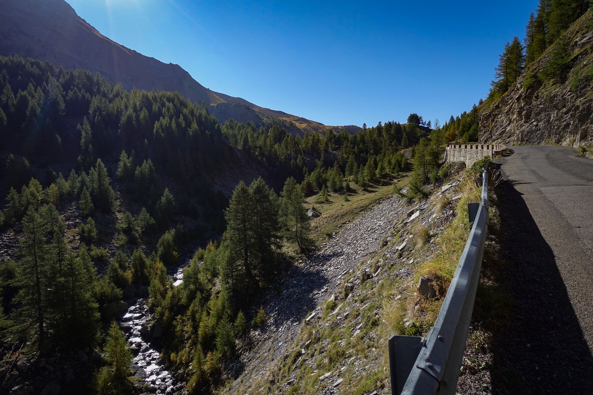
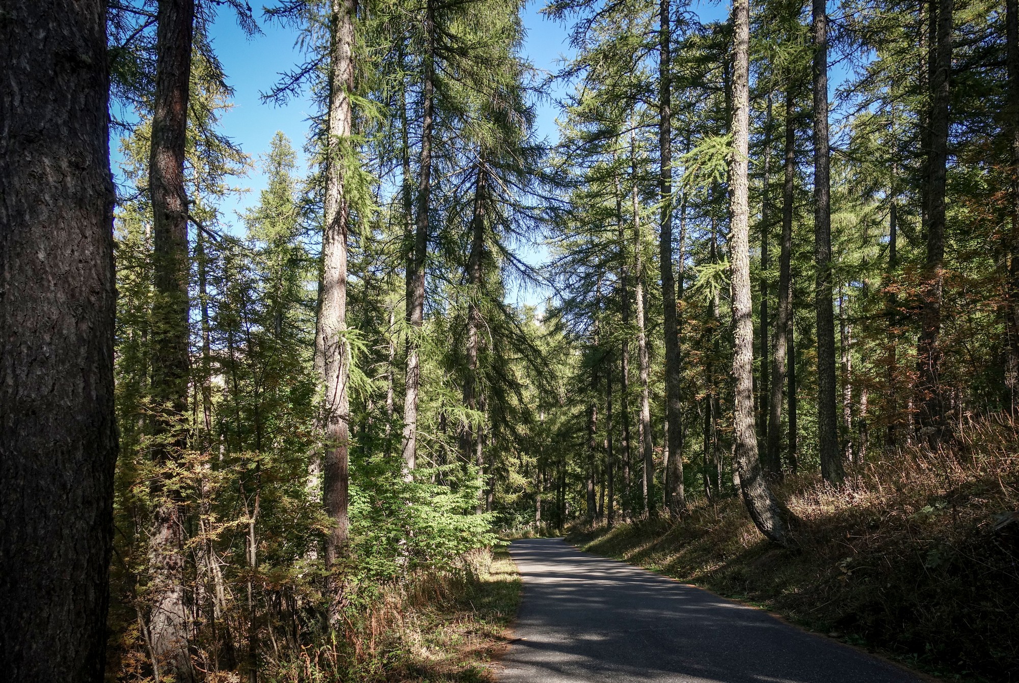
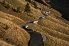
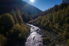
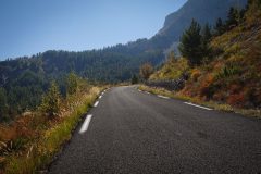
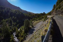
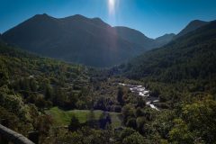
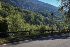
Eventually the road crosses the river and heads up the mountain into forest via a couple of switchbacks, still following the Bachelard river, but from higher up. Peace descends on the ride now that the constant rush of the river is out of earshot.
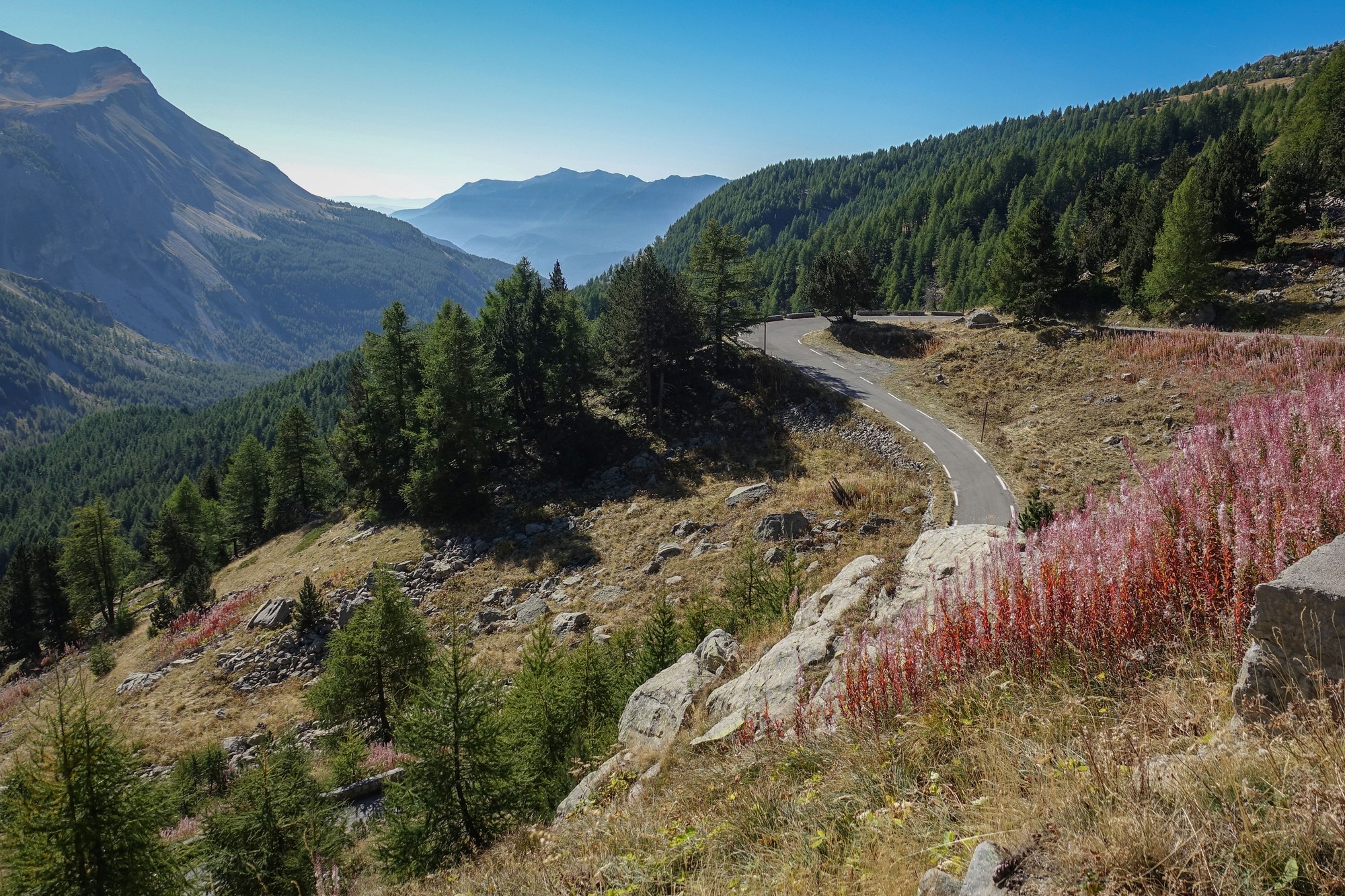
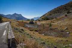
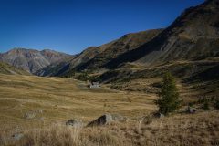
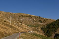
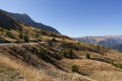
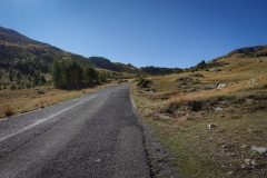
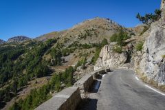
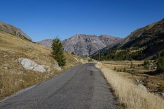
The road opens to pasture as trees become scarce.
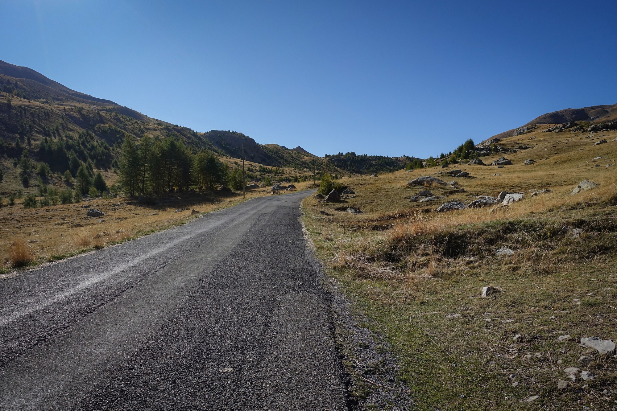
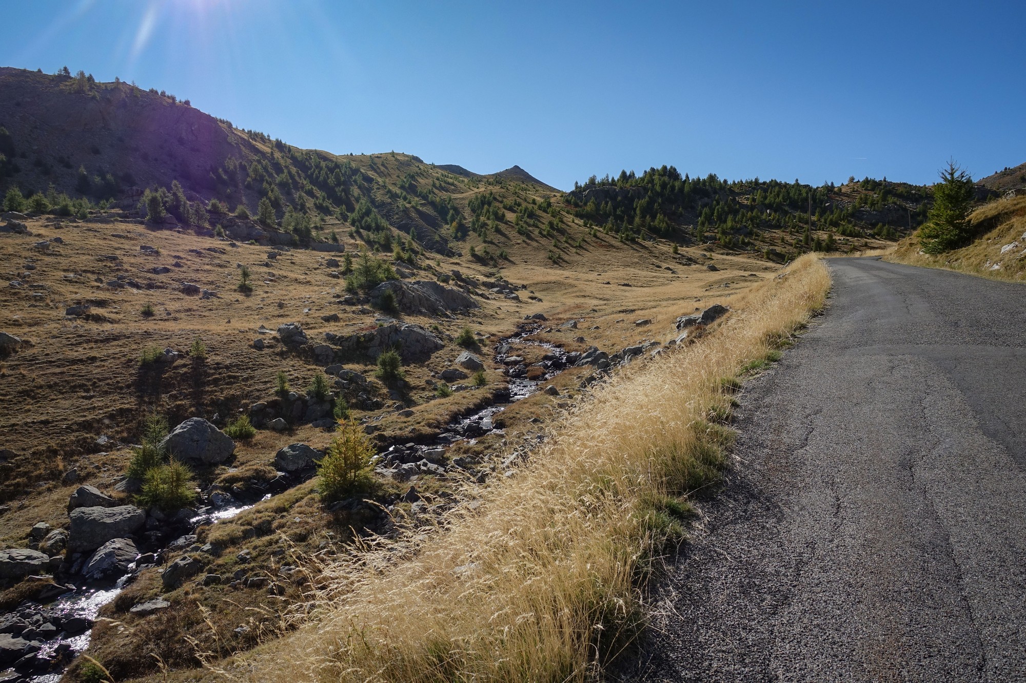
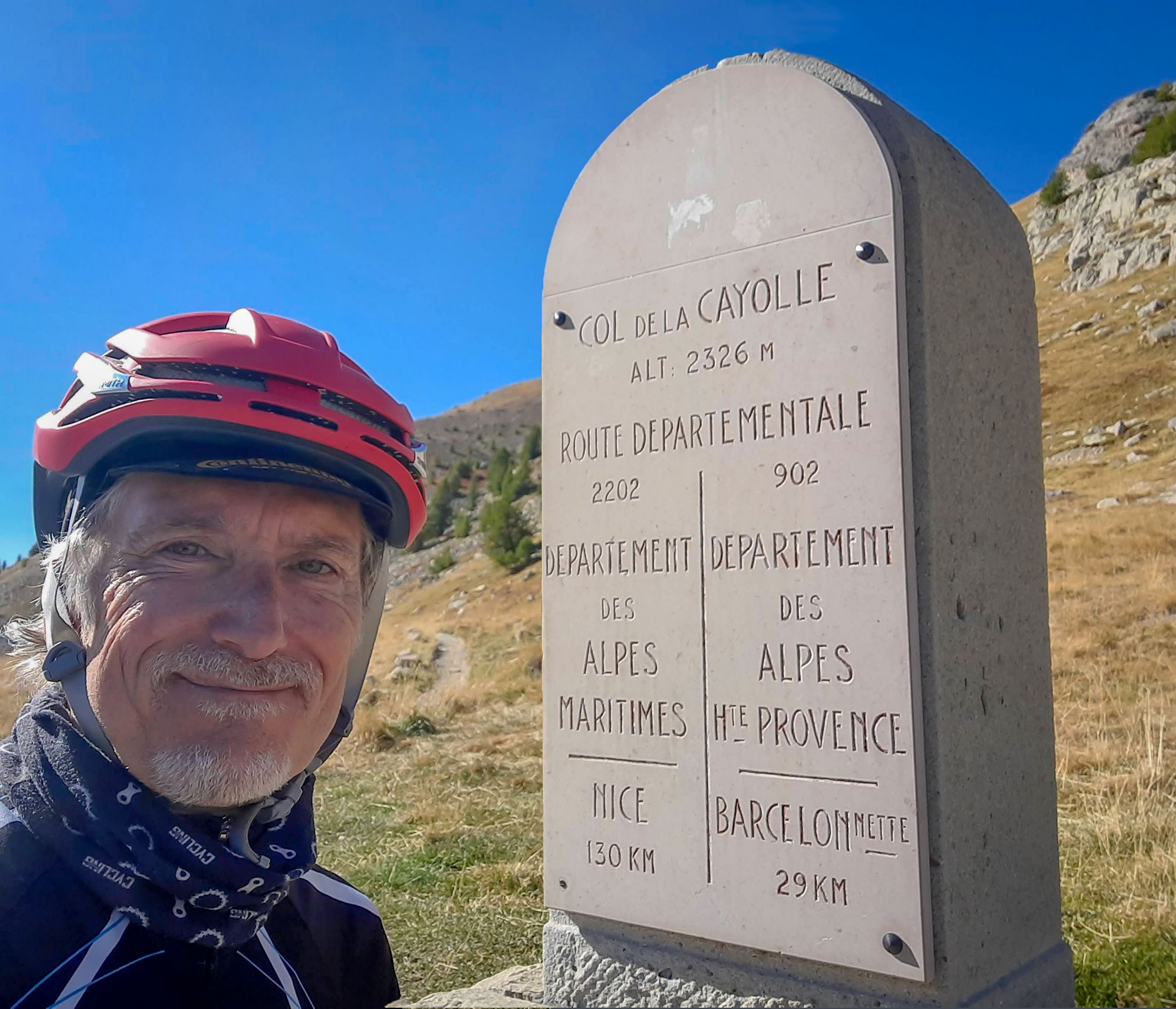
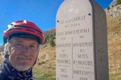
I reached the col at just after 11am, after nearly three hours of riding.
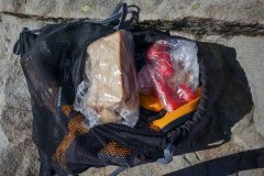
I’d had one energy gel about halfway up. But now it was time for some real food, so I had ½ a HDM sandwich and a couple of tomatoes.
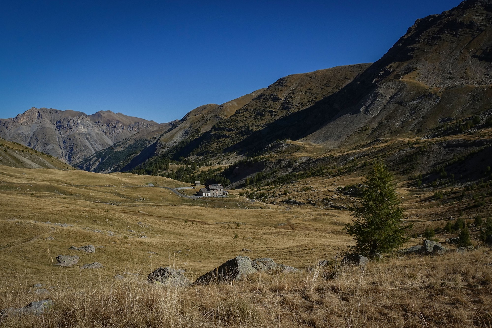
I was really pleased to have seen three separate marmots a I neared the top. Two of them had run across the road. I’d heard their calls earlier but hadn’t expected to see any this late in the season.
From the forest section to the col the temperature had risen from 9ºC to 21ºC. That’s a lot warmer than it was the last time I stood there. The earlier breeze had calmed – at the col it was fairly gentle. So I was glad to have chosen shorts but would leave my rain jacket on for the descent.
I had taken a pain killer before leaving this morning. I had a slight headache approaching the col – could have been altitude.
Report from Allos, 4pm
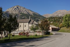
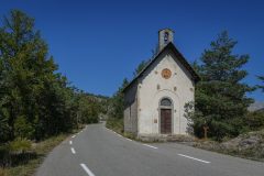
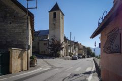
I’m sitting at a picnic bench just outside Allos. I’ve rationed my juice quite well but inevitably by now I’m running out of my second bidon so I was looking around for some water. There was a tap near a church coming into Allos so I topped up using that. In the town, in case there was any more definitely ‘potable’ water, I asked someone playing boules whether there was any drinkable water and he said there’s nothing in the town, which was very surprising.
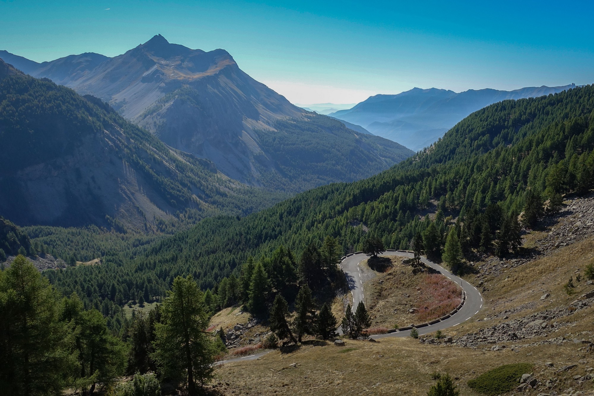
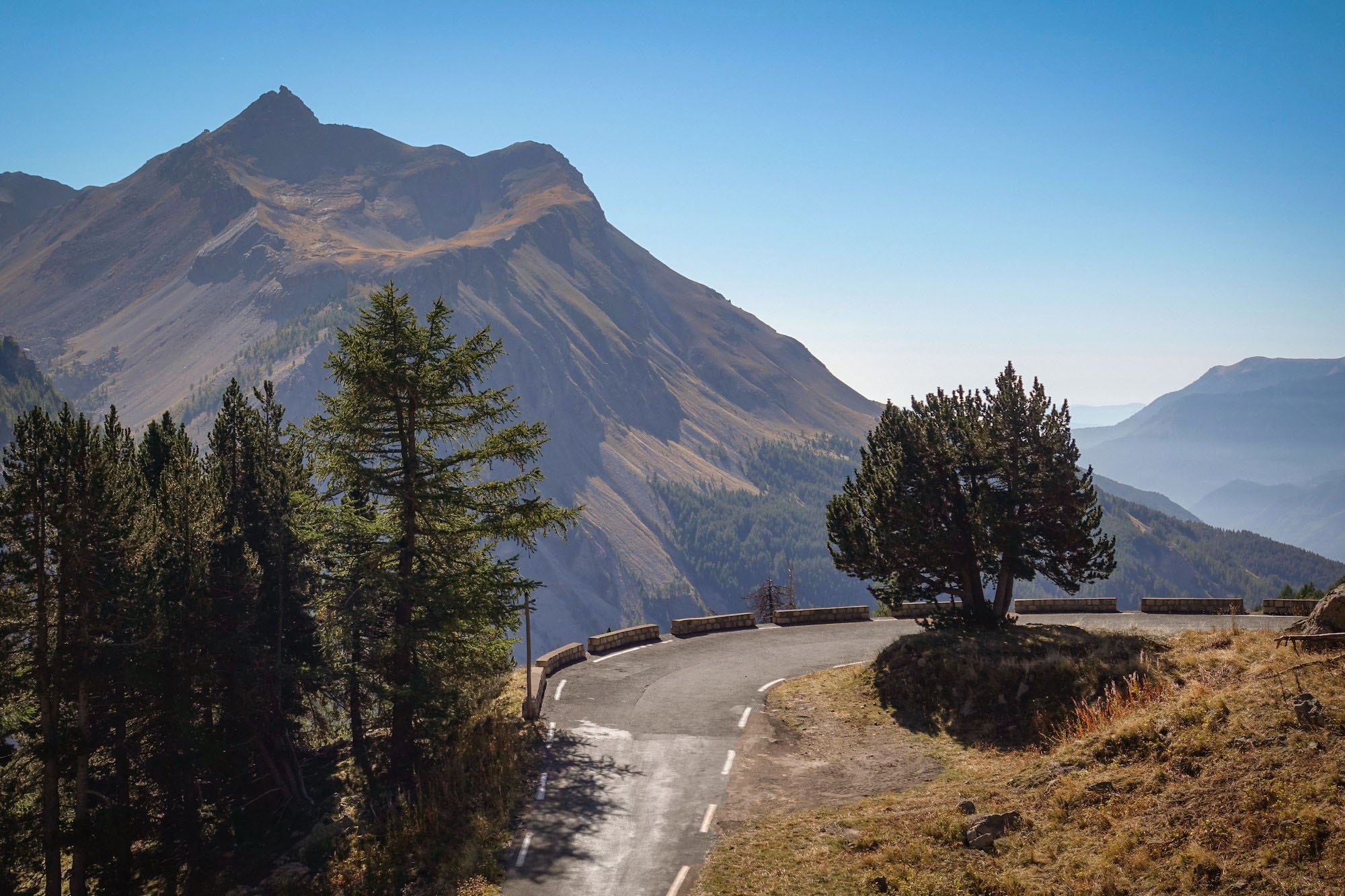
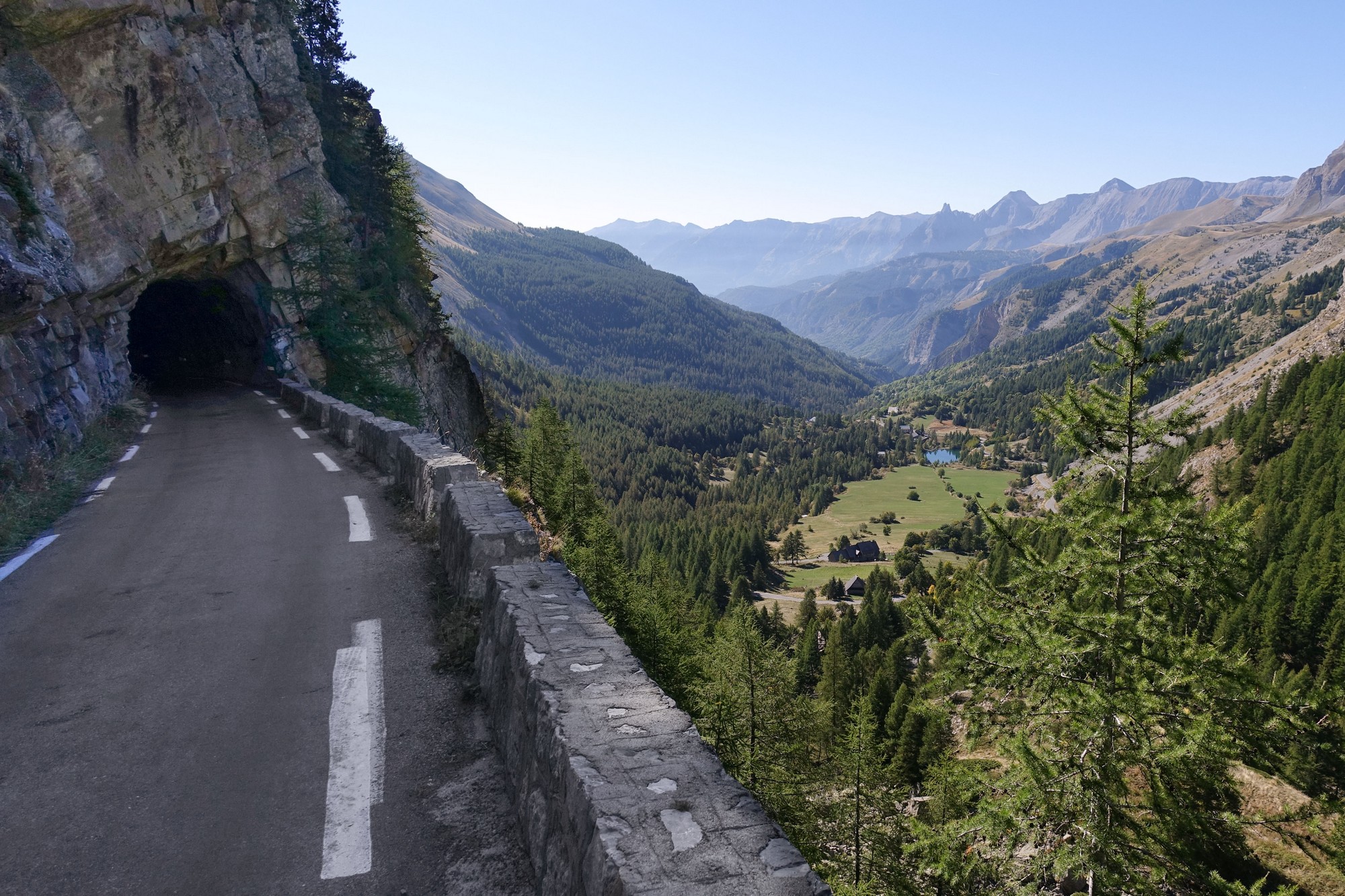
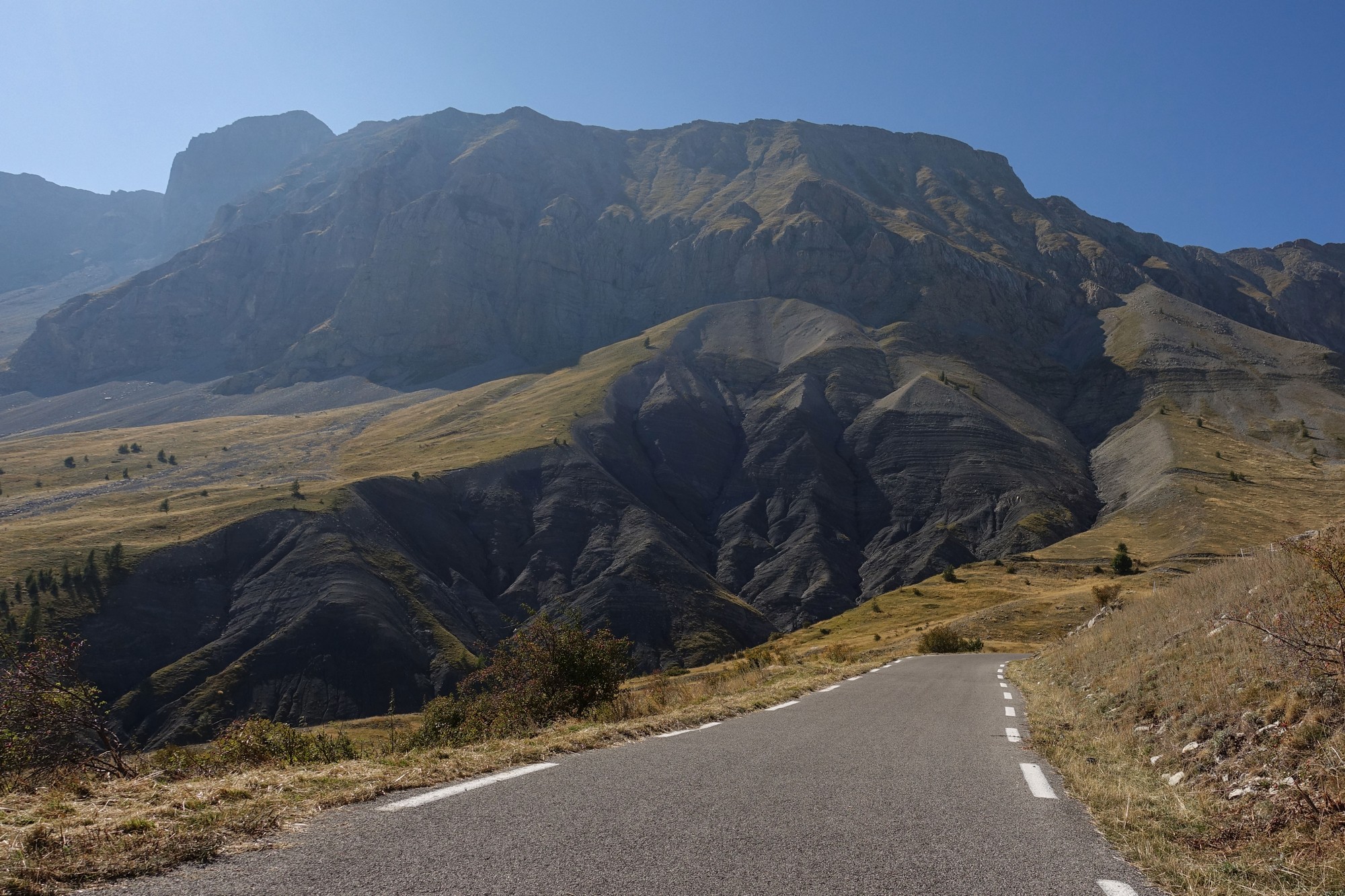
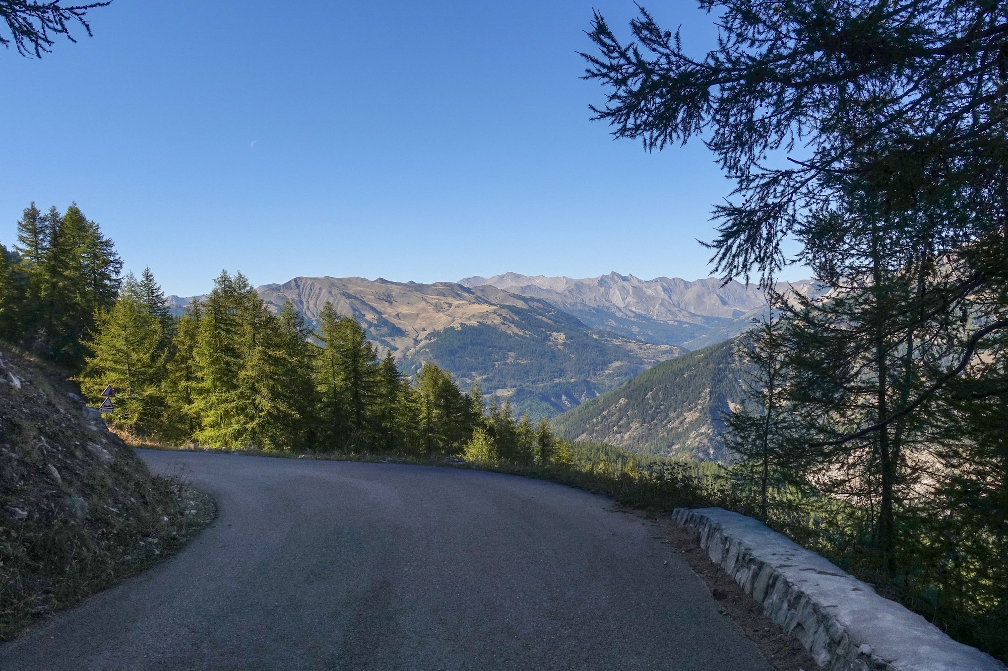
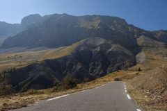
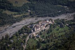
Anyway the descent from Cayolle was spectacular in terms of the views.
It was quite steep at first so I couldn’t really let go of the brakes – I wish I’d had my disc brakes. There was hardly any traffic.
At the foot of the descent, at Saint-Martin-d’Entraunes, the road turned immediately into the climb to Col des Champs, so I took my rain jacket off and stuffed it in my bag – temperature was now mid 20s. I had an energy gel and a couple of pain killers.
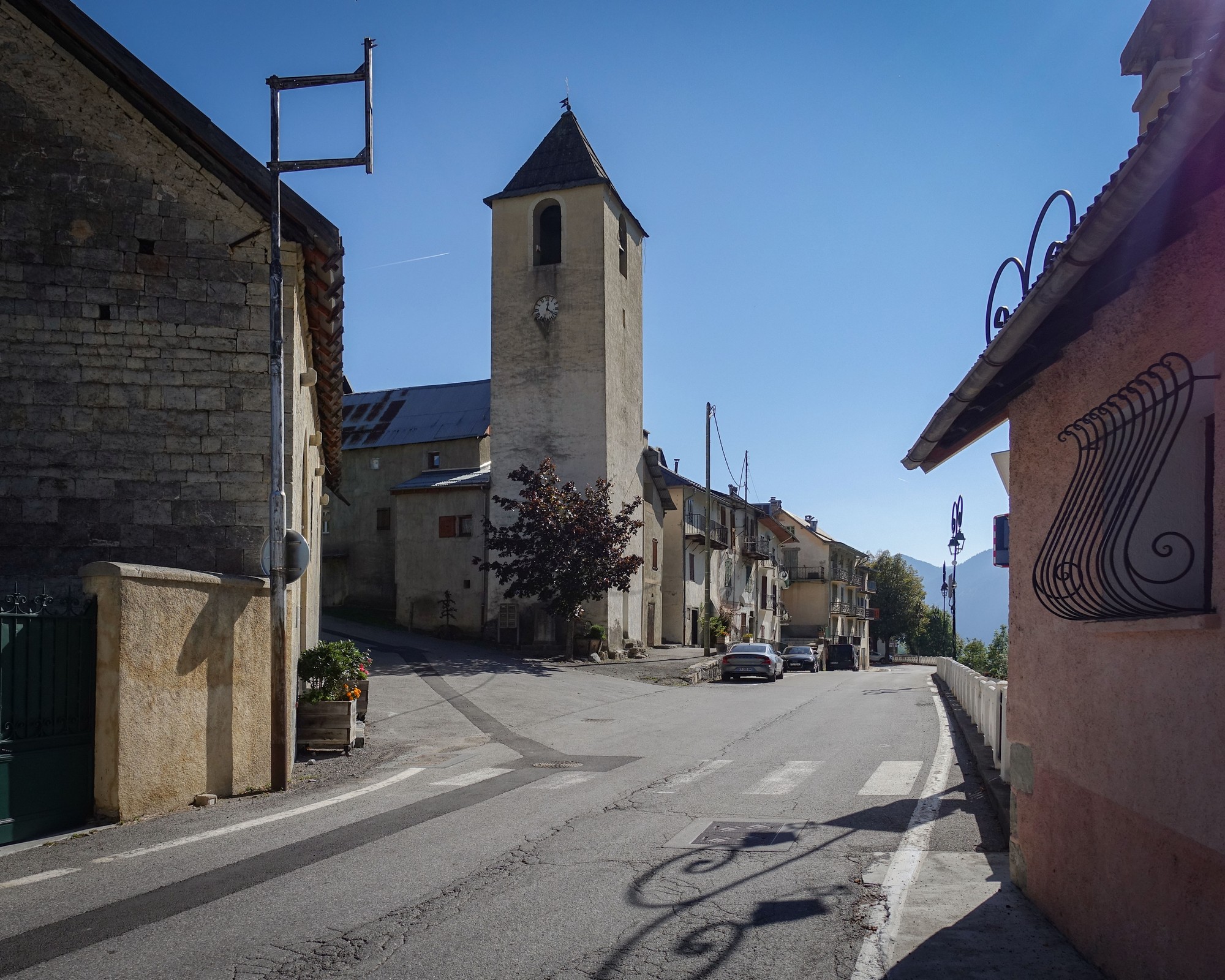
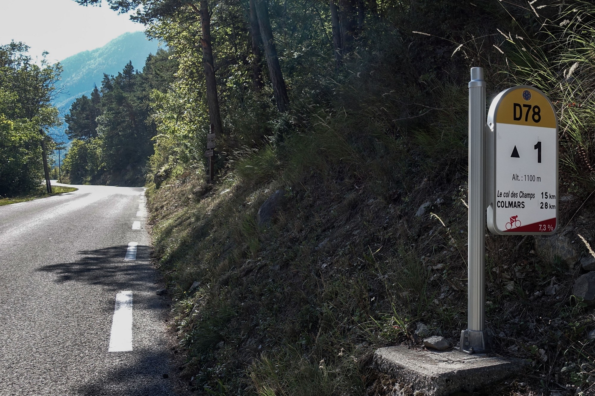
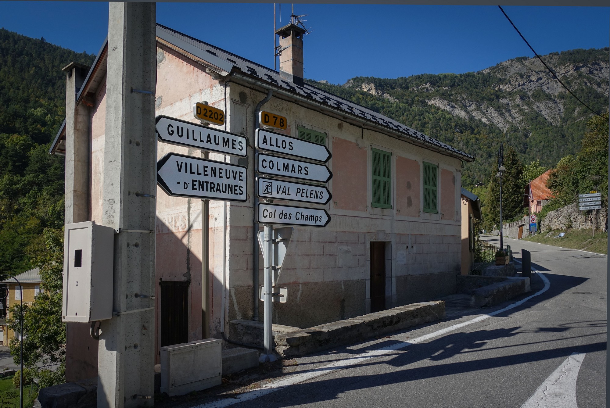
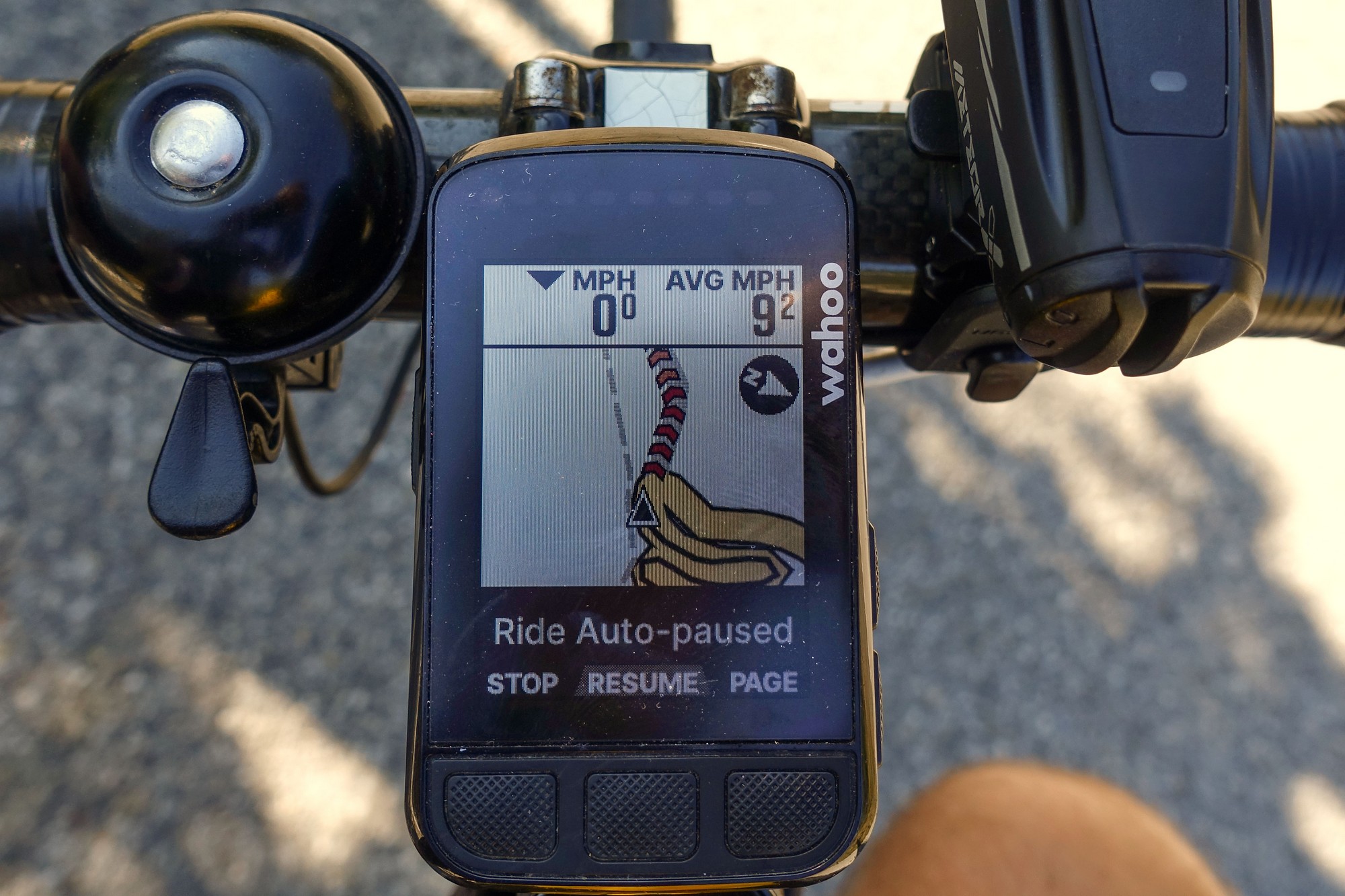
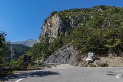
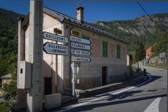
Shortly into that climb my Wahoo routed me to the left but the signpost pointed to the right.
Coincidentally at that time a cyclist was coming up the hill so I asked him if he knew which way was best. He was Dutch and said ‘it’s been a long time’ (…since he last did Col des Champs I assumed), and he said he’s just going to follow the signs, adding that “the French know best”.
So in the end I decided to ignore my Wahoo and follow his course to the right. There was a notice board that said for cyclists to follow the D278 to the right as well. I wonder what the other way was like…
[Addendum: I’ve just checked out that other route to the left (the one I’d originally targeted) on Google Streeview and it looks brilliant. It’s a balcony road with far-reaching views to the SW. Damn! I wish I’d taken that one now. Maybe another day]
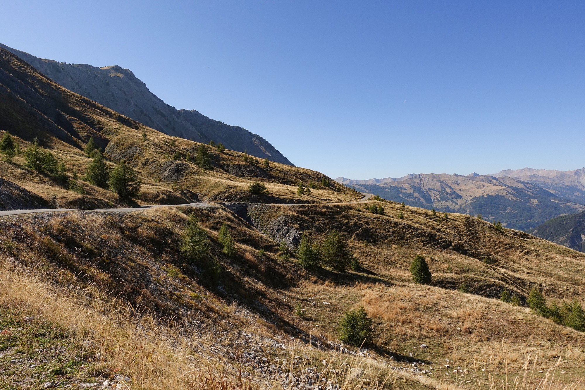
Anyway the climb to the Col des Champs was very tough. Nearly all the ‘diversion’ was through forest with not much in the way of views, so luckily I didn’t have to stop for photos.
Unfortunatley I was exposed to the sun for much of the time. Eventually the diversion rejoined my original route.
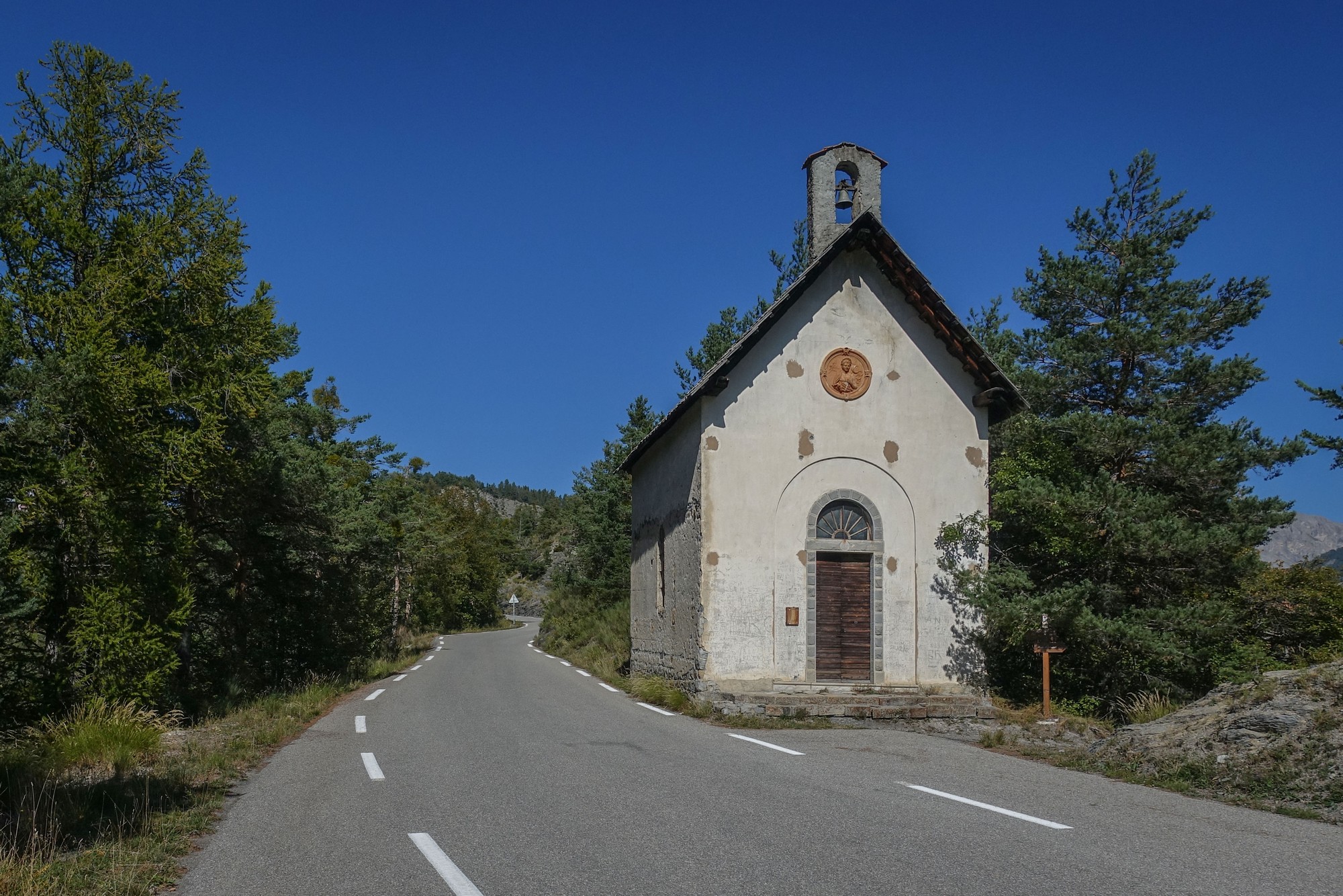
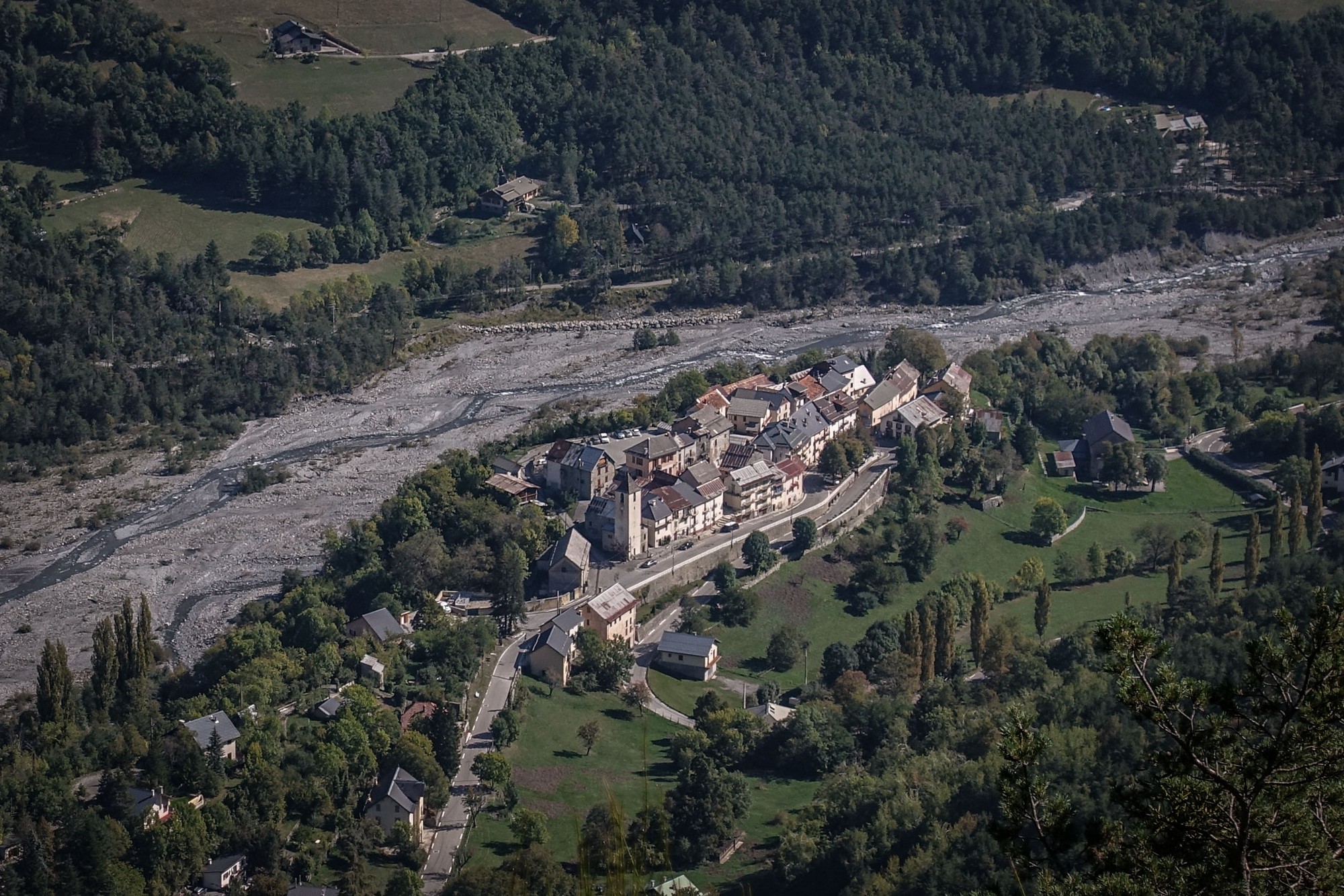
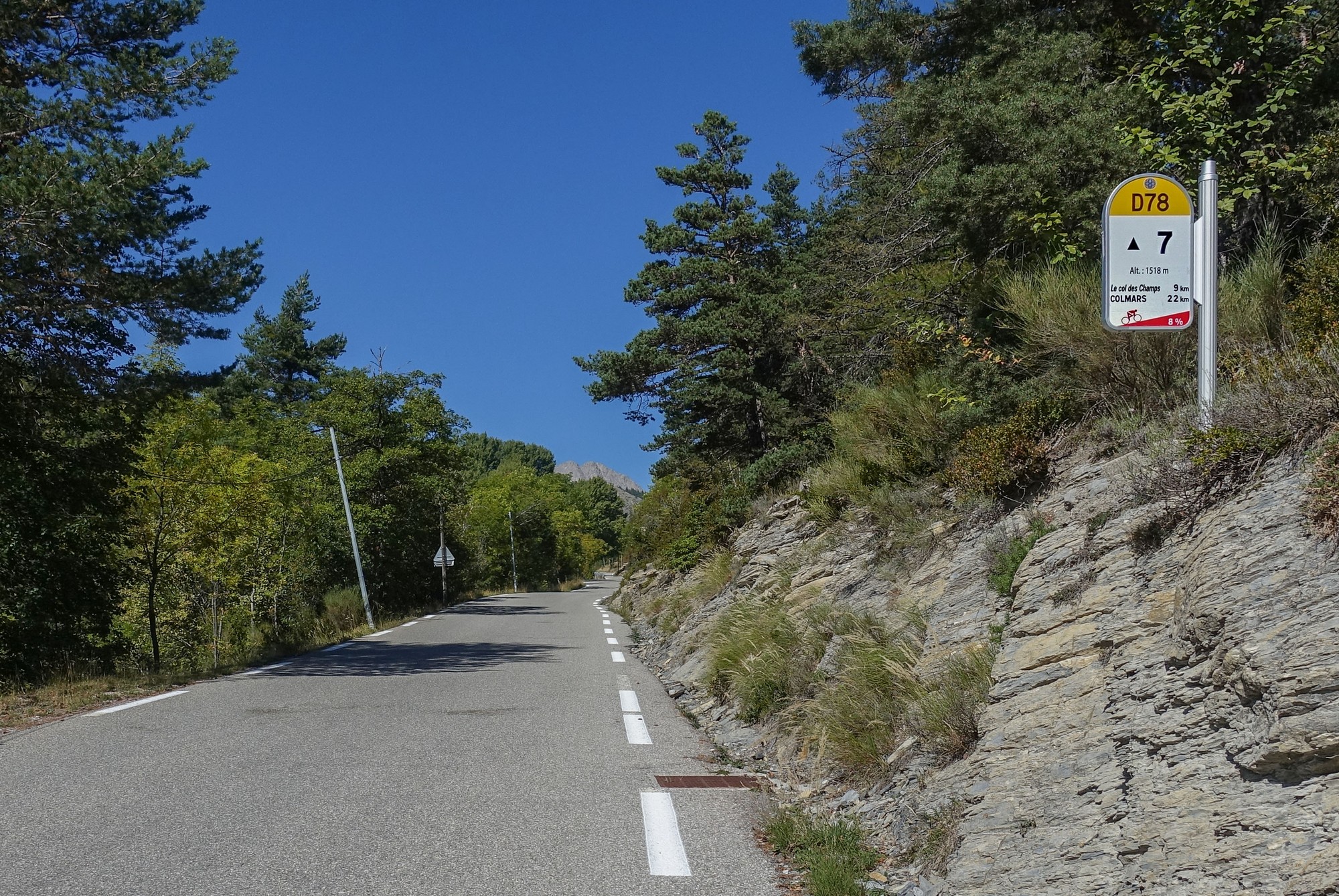
A constant feature of these quiet sunny rides is the sight of grasshoppers on the road. Rarely is there not one in sight. Their sound from the roadside becomes more noticeable as the day warms up. The odd lizard scuttling about adds to the activity around me.
There was brief respite in the climb about halfway up, at Val Palens, when the road flattened out for a mile or so. I stopped to have one more half of my sandwich and a couple of tomatoes and a mini madeleine cake.
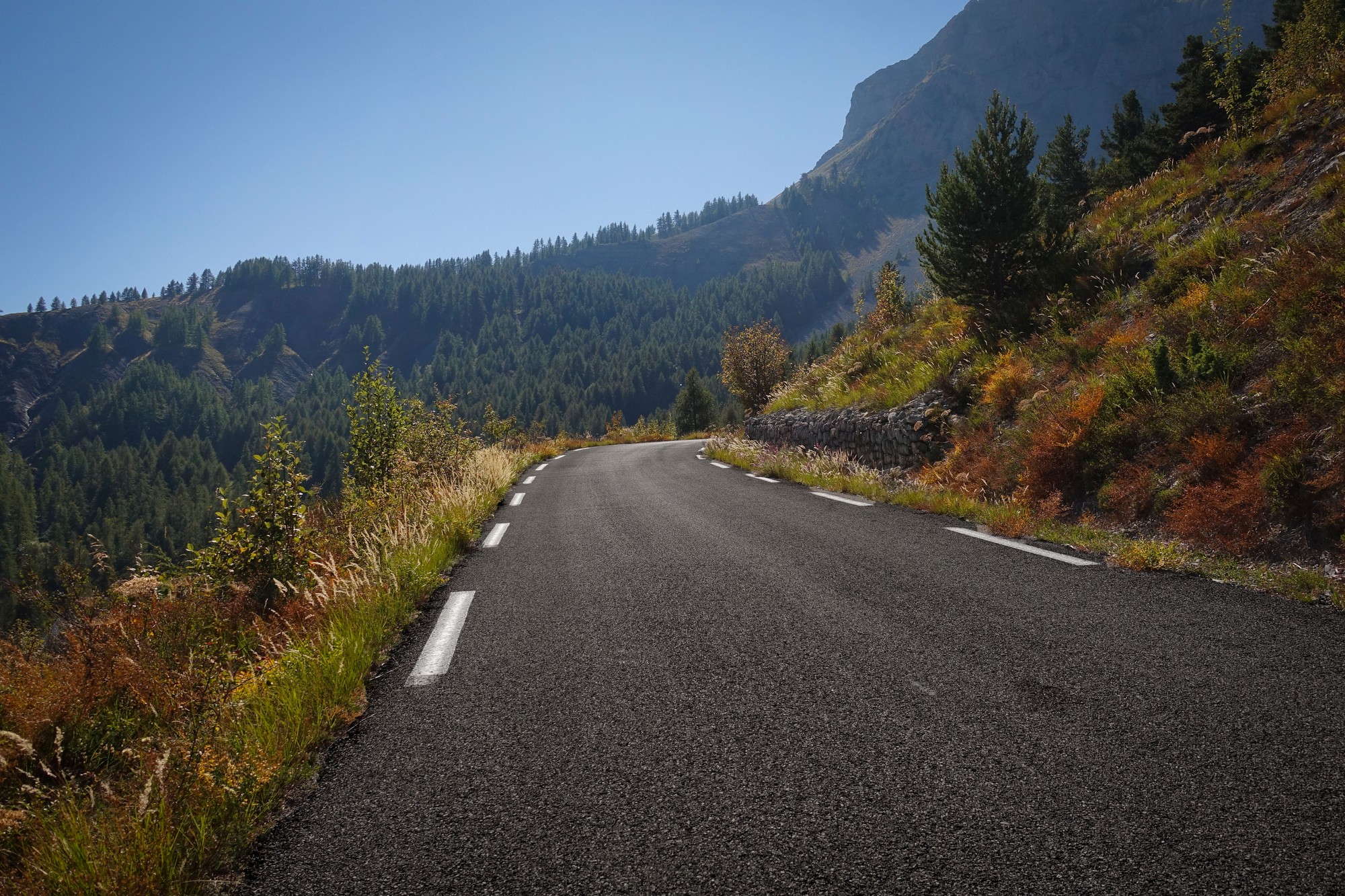
Eventually trees became scarce as the altitude increased
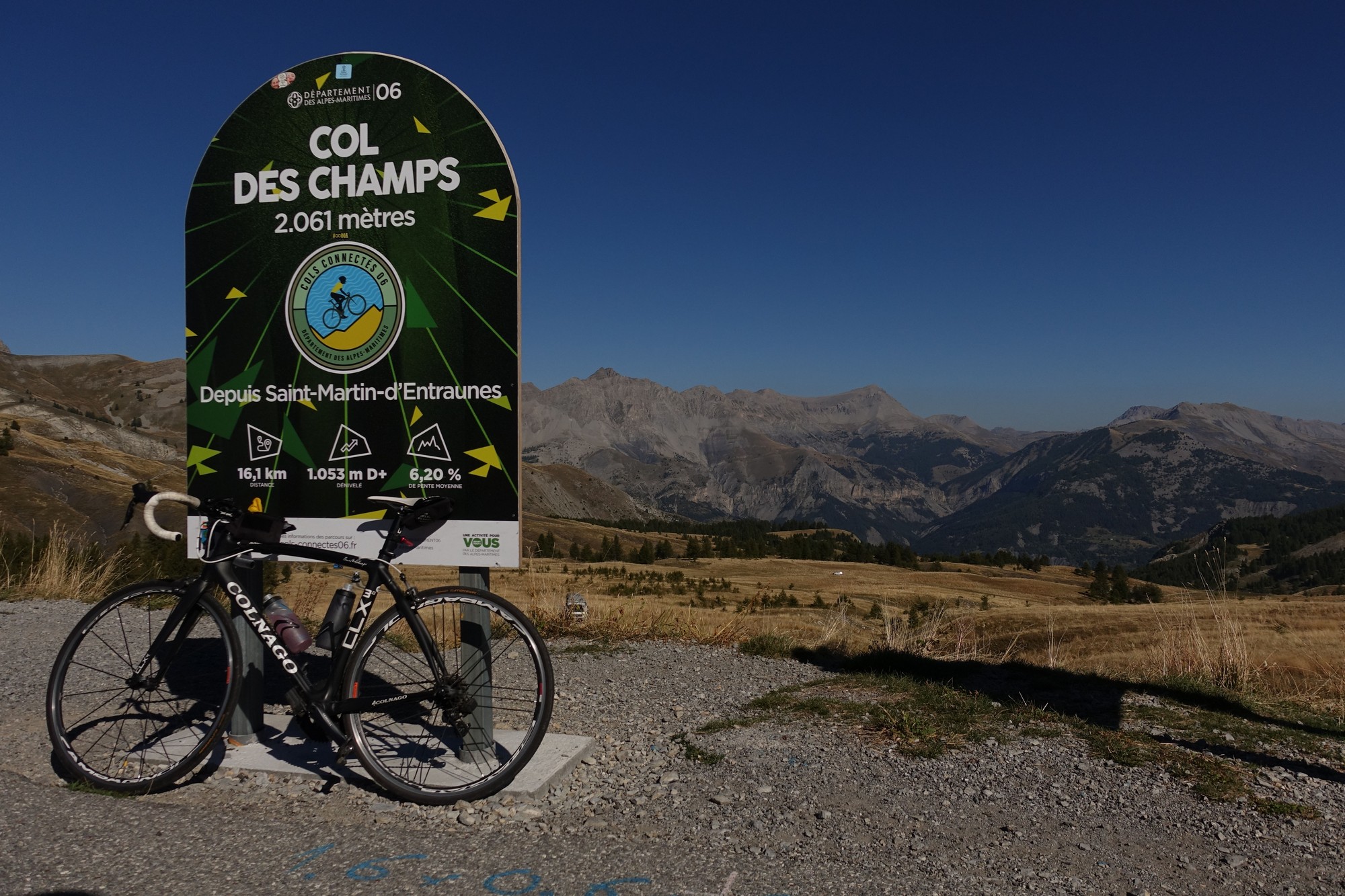
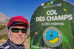
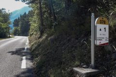
The climb was tough, with lots of 8% and 9%, especially right at the end – there was about 3 or 4 km of eight and nine percent with the final marker saying 9.6% – very challenging.
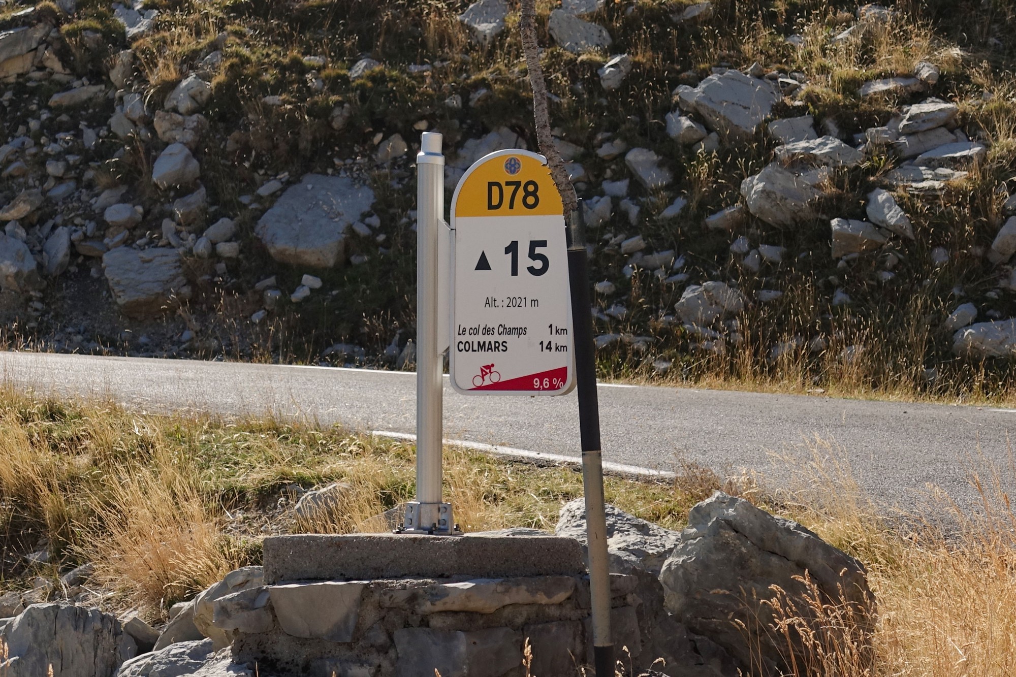
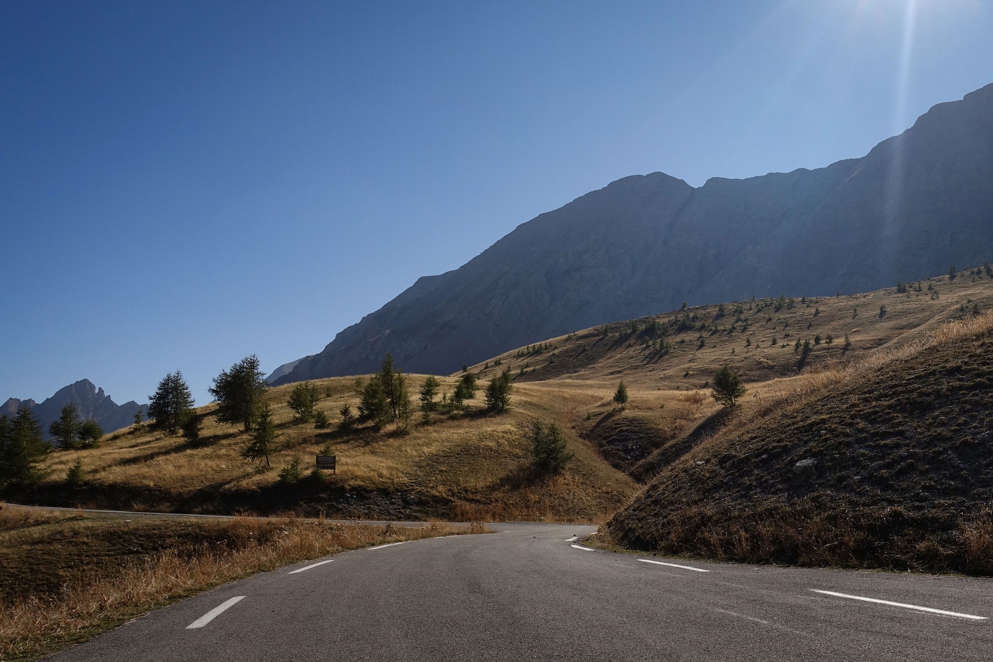
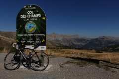
A couple of riders passed me about 2km from the top. When I reached the col I chatted to them. They agreed it was a very tough climb. They were not doing les Trois Cols but when I asked them about Col d’Allos, my one remaining summit, they told me that it’s not as tough as Col des Champs, so that was good news.
I put my rain jacket back on. The descent was quite fast, nearly all of it in forest – in fact I overtook the other two cyclists going down.
Again at the bottom it turned straight into the climb to the col d’Allos.
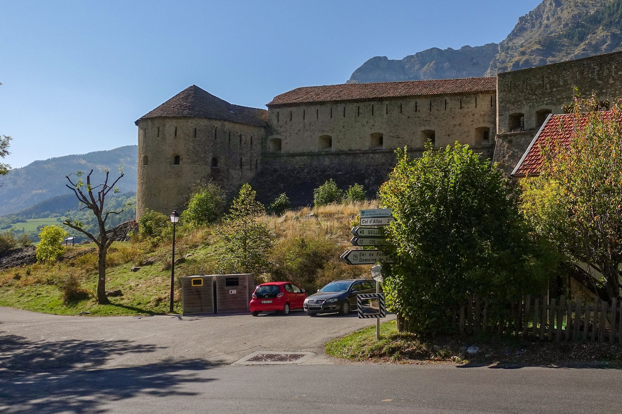
The road climbed for four miles at a leisurely 2.5% towards the town of Allos, so it was good to get the miles out of the way without too much effort.
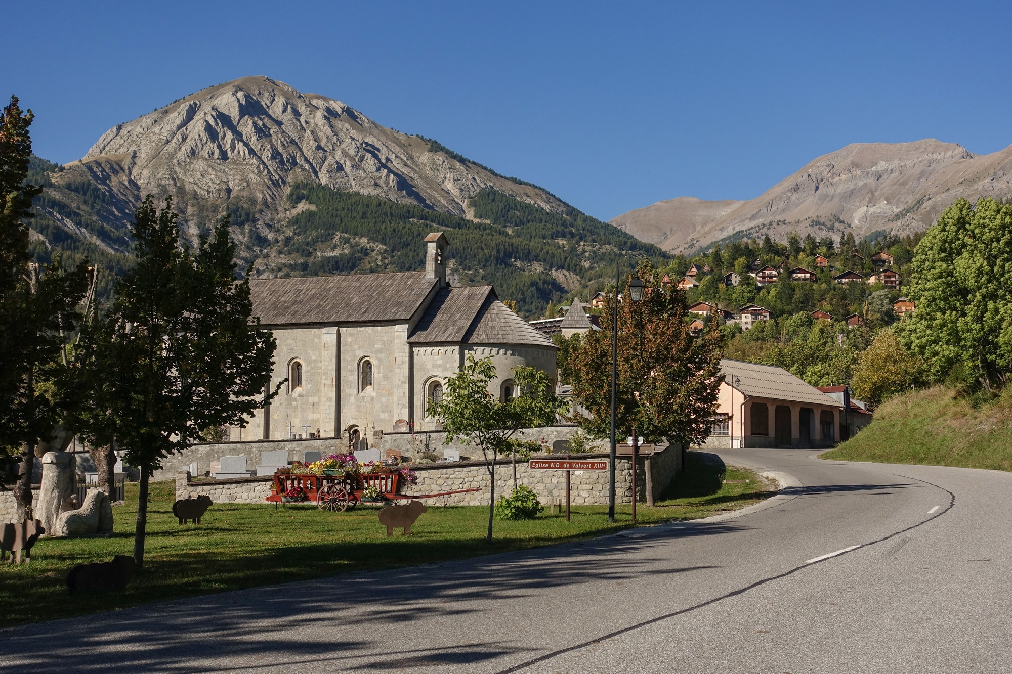
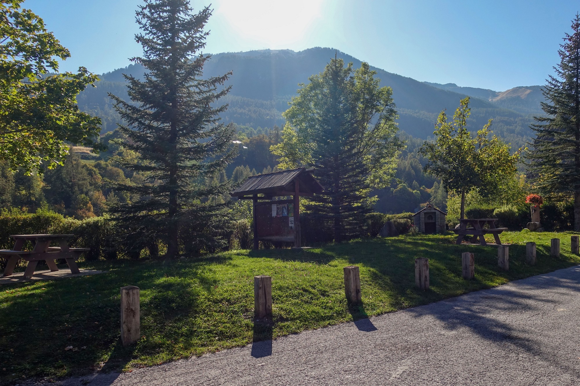
I’ve stopped here for my last food break. It’s 4pm now and I’m sort of hoping I can get to this final col by six at the latest, and then take less than an hour for the descent maybe, and home by seven, when it should still not yet be dark hopefully. The Col des Champs really took it out of me and I don’t know much energy I’ve got left to get up this last ramp. I’m just sitting here at this picnic bench eating the last half of my sandwich (I had one and a half sandwiches today so I’ve eaten the last half, or a third of the whole lot) and a mini madeleine cake and I’m just about to set off and the sun is blazing down. I feel I’ve been exposed to the sun too much today. I did have a another couple of painkillers just at the beginning of this Col d’Allos climb.
After leaving Allos, the following five miles at a slightly steeper gradient of 5% along a fairly boring road (everything is relative, I know!) led to the ski resort of La Foux d’Allos. Again, my Wahoo wanted me to go through the town (which would have meant descending and then climbing again), but I decided to stay on the higher road bypassing the town.
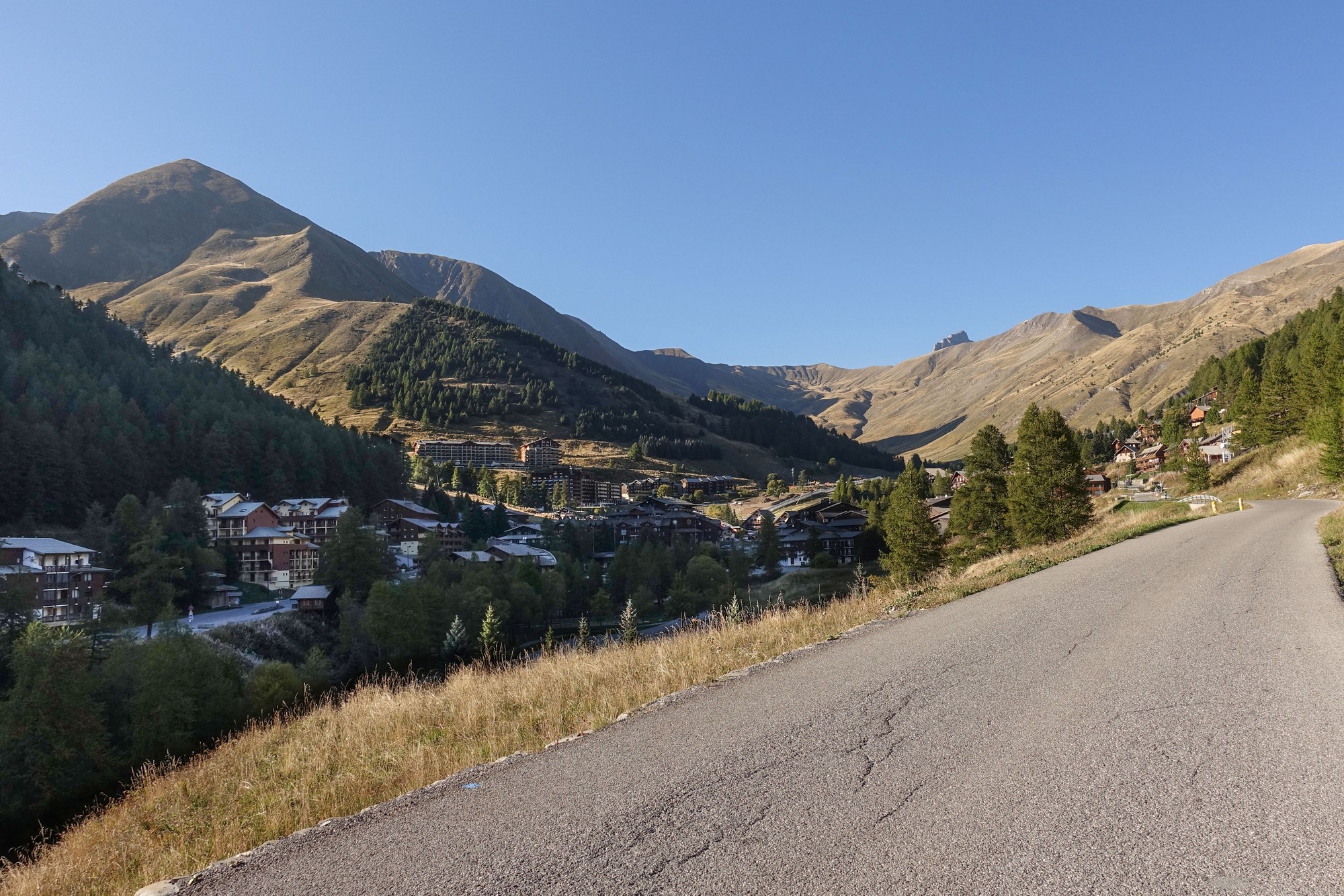
I knew that I was nearly at the col, but I didn’t know how near, so just outside Foux d’Allos I stopped in the shade and checked on my phone. It said 3.5 miles. So I had my last energy gel. All the way up this valley to that point I’d had the sun blasting me from the left. Never have I wanted the sun to dip below the mountains as much as I did then. That was somewhat ironic, given that earlier in the ride I couldn’t wait for the sun to come up over the mountains.
Those next 3.5 miles, averaging 7%, took 50 minutes, such was the sluggish rate at which I was now riding. I occasionally looked up and saw vehicles way up on the switchbacks. They seemed to take ages to reach me, making me realise how far I had left to go.
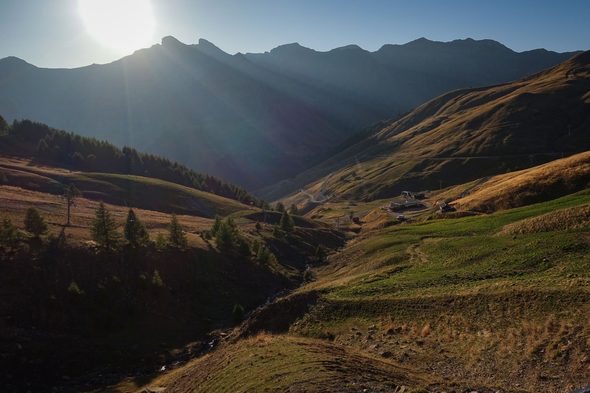
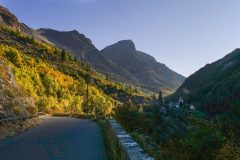
The further away I got from the ugly ski resort, the better it looked in the golden hour of the setting sun, although there was still ski paraphernalia littering the slopes.
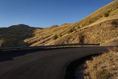
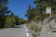
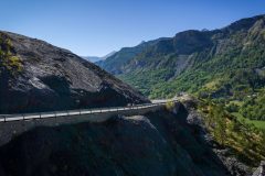
Quite a lot of that section of road surface was new, and other bits had collapsed at the edges, with bollards steering the traffic onto the safe part. All the way up the climb I still had the (by now weakening) sun on me.
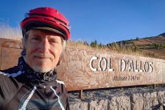
When I got to the col, the temperature was 19ºC – perfect!
With just the descent back to base remaining, I knew that I’d made it.
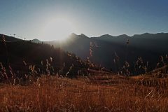
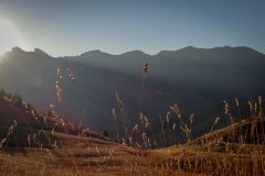
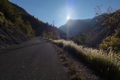
At the col I took a family’s photo, at their request. Then I grabbed a shot with the golden hour sun contre-jour against the grass swaying in the gentle breeze.
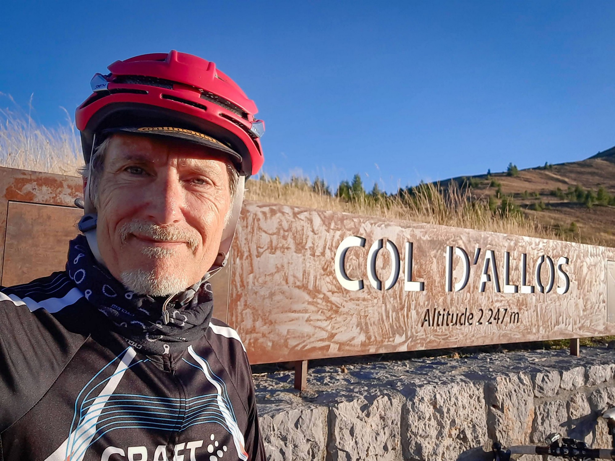
And after a selfie, I put my rain jacket back on and went straight into the descent.
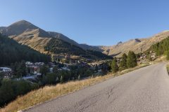
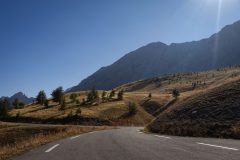
I’d forgotten how excellent that descent from the Col d’Allos is. There are some smoothly uneven road surfaces that can jolt you at speed, but they’re not too much of a problem. I also remembered what spectacular scenery it is on that side. In fact it makes you realise that the southern side is boring by comparison.
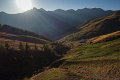
I did a very fast descent. I took some photos on the way down, but the light was poor and I really shouldn’t have bothered. I’ll refer you to this post for better photos of that side of the col. I averaged 21.2 mph over the 10.5 miles from the col down to the turn off. That descent is technical, to say the least, so I’m quite happy with that speed, knowing that it would have been faster given better road surface and had I had disc brakes. With rim brakes I’m constantly aware of the overheating factor; that takes a lot off my speed because of my extra caution – trying not to slam them on; trying not to leave them on for long periods; trying to alternate front/back to allow cooling.
I had my front light on during that descent just so other traffic had a better chance of seeing me coming. This side of the mountain was in shadow, and the light was fading at the end of the day. (‘Other traffic’ consisted of one car and a couple of motorbikes during the whole ten miles!)
Strangely the air became cooler the further down I got, and coming into Barcelonnette at the end of the ride I was actually shivering, in part because of the speed. Wahoo reported 11ºC.
So, I have completed one of the tougher rides on my list. And I couldn’t have asked for better weather (apart from the ice-cold start!). If I had to do it again I’d do it anti-clockwise, for the reasons listed here, and I would also include that balcony road section that I mentioned above.
In terms of scenery, it appears I’d already seen the best bits of this route, in the form of the north sides of the Col d’Allos and the Col de la Cayolle. The south side of the Col d’Allos is boring, and the Col des Champs is also not much to write home about, although I’d choose that over any ride in Kent! The south side of Col de la Cayolle is excellent but I’d already driven down it before. I wouldn’t mind riding up it (maybe I’ll have to do the anti-clockwise version of les Trois Cols after all …).
While writing this post I did something I never do – I checked Strava to see what the fastest speed was for the Col d’Allos descent. The fastest time is now (as of 2023) eight years old, set by Robert Gesink, followed closely by Steven Kruijswijk, Jacques Janse van Rensburg, with Thibault Pinot in the top ten as well. All these results are from the 2015 Tour de France stage 17, with Gesink’s time of 14:24 representing an average speed of nearly 37 mph! I can’t even begin to imagine descending that road at that speed. There are sheer drops into the valley below at nearly every bend on one section. I am completely in awe of those riders. That was back in the days before disc brakes in the pro peleton as well!
Further reading
- Les 3 Cols clockwise or counter-clockwise?
- Bachelard (rivière)
- Tour de France 2015 Stage 17 results and report
Fuel
Gallery
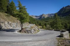
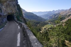
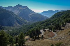
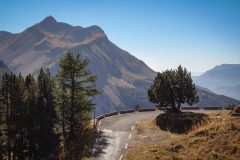
Click to enlarge / see slideshow























Congratulations Vince, what an epic day out. Thank you for the great report and photos. I’ve ridden it in the opposite direction but this is now a must do for me. Onwards and upwards!
Thanks Martin for your comment. And well done to you as well! Can you remember if you took the D78 (balcony road that I didn’t take) or the D278 down to Saint-Martin-d’Entraunes?