Distance: 35.3 miles. Elevation: 3364 ft.
Things I knew about the Col de Larche before this ride:
- It is on the French - Italian border
- Its Italian name is Colle della Maddalena
- It's a fairly easy gradient
- It would be busy with traffic, particularly lorries
- There is a section of road prohibited to cyclists and pedestrians
With those last two points in mind, I chose to start my ride so that I would be on the climb to the col during lunch hour(s), between 12:30 and 2. Lunch breaks are sacrosanct in France (and maybe Italy too) so I was hoping that even lorry drivers take lunch breaks. Also the authorities might be at lunch, increasing my chances that I could ride along that prohibited stretch of road unchallenged.
So I left at 12:30. It was a beautiful warm September day. I wore a short sleeve top. Arm warmers and light rain jacket were available for the descent.
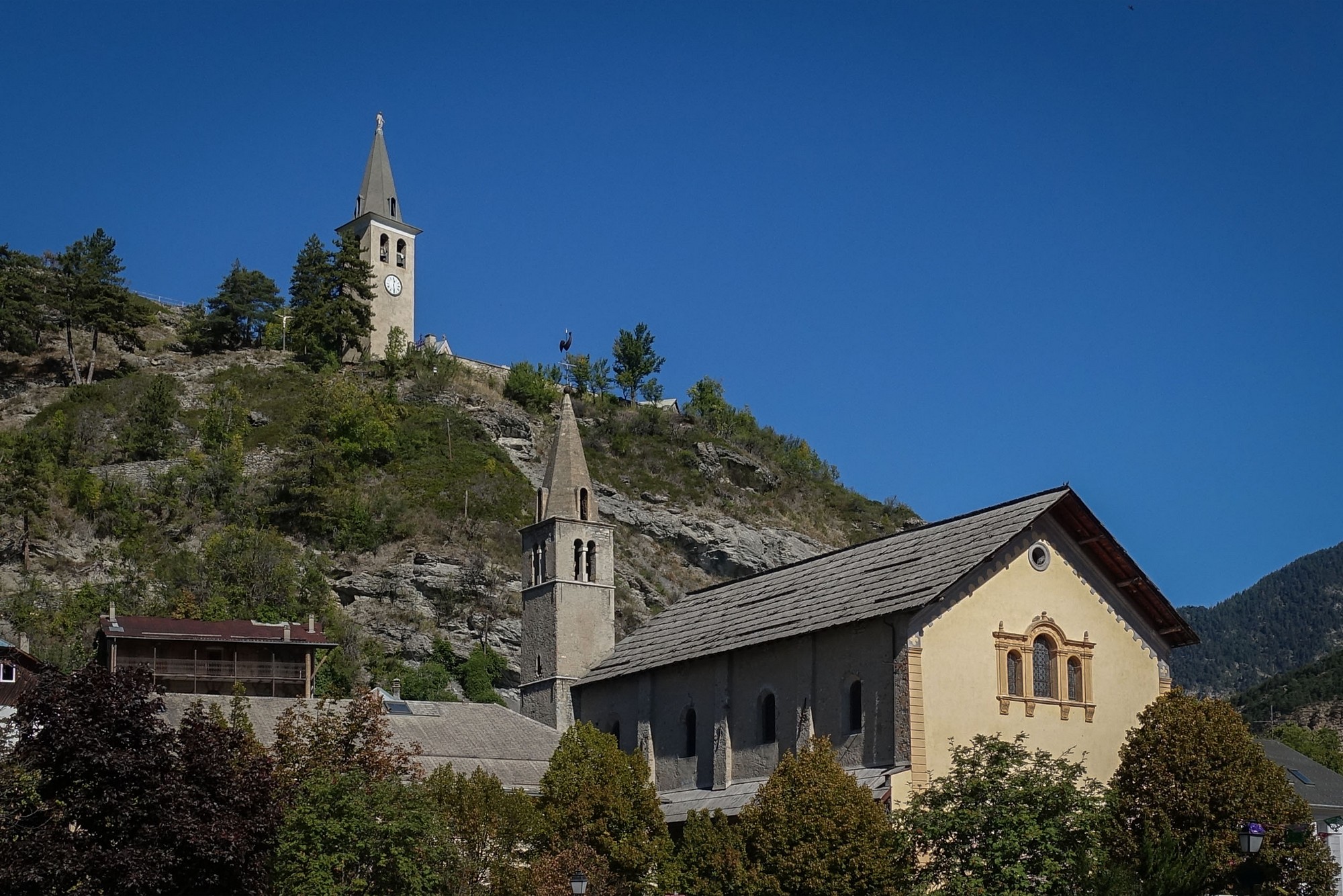
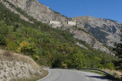
Fifteen minutes after riding through Jausiers, I saw Fort de Tournoux high on the hills ahead of me, just outside La Condamine-Châtelard.
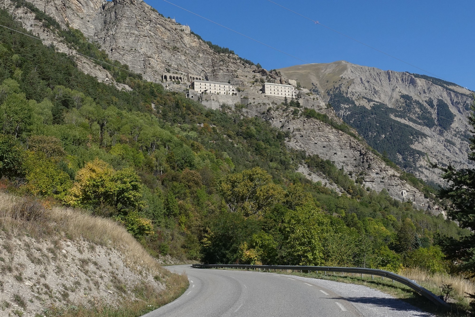
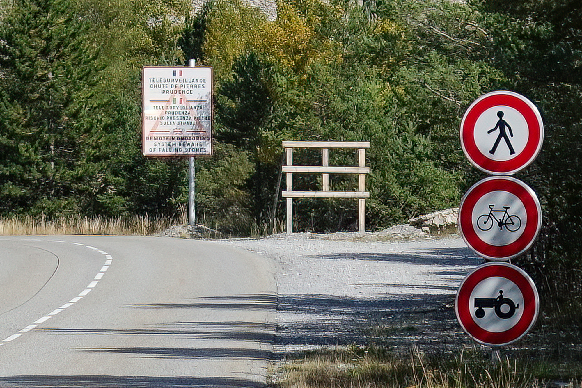
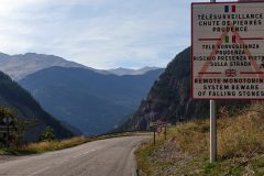
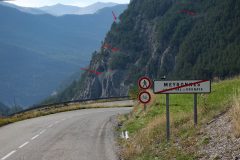
Shortly after that I saw the signs prohibiting pedestrians, cyclists and tractors. And a sign explaining there's a remote monitoring system, and to beware of falling rocks. I couldn't really work out how they could remotely monitor rockfalls, other than visually maybe - but see the info at the end of this post, below, for the answer.
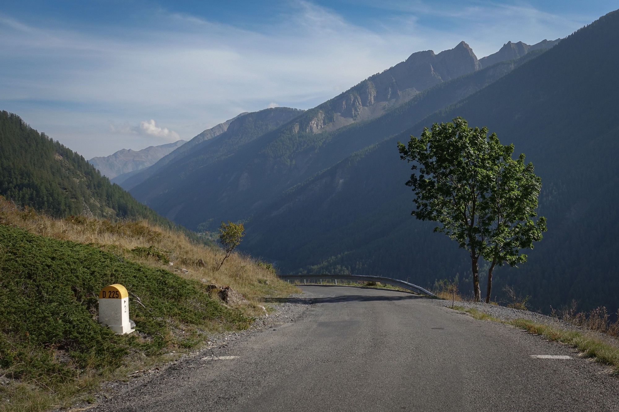
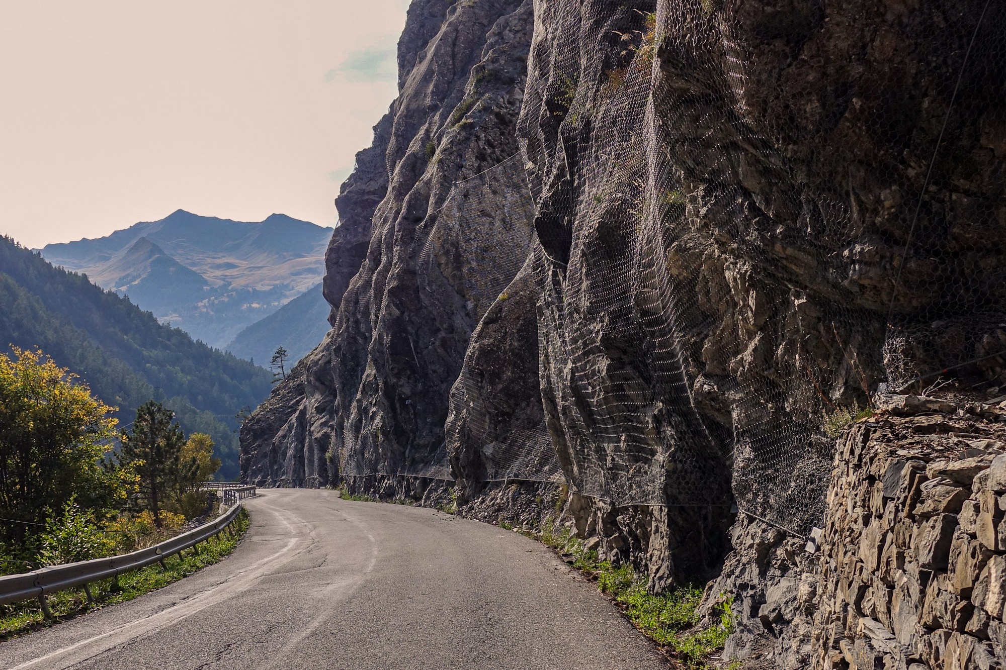
I didn't want to hang about taking photos so I just rode straight on into the forbidden zone. (I took that photo above on the way back)
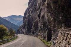
At first I couldn't see where any danger might come from. But as I progressed, the higher ground to the left of me became steeper and rockier. There was one section with numerous dents in the armco to my right, obviously caused by heavy blows from above. I came across one particularly damaged section of barrier and looked up to my left to see there was a sort of gully running right up the hillside and it even had a huge boulder wedged in it, some way up. It reminded me of the rolling boulder scene in the Indiana Jones film! I carried on riding. No time to hang about for photos there. Further along I saw that they had installed extensive steel netting all over the face of the rocks - maybe the aim is to do this on all sections and get rid of the stupid cycling ban.
At one point I heard the sound of shale sliding down somewhere to my left.
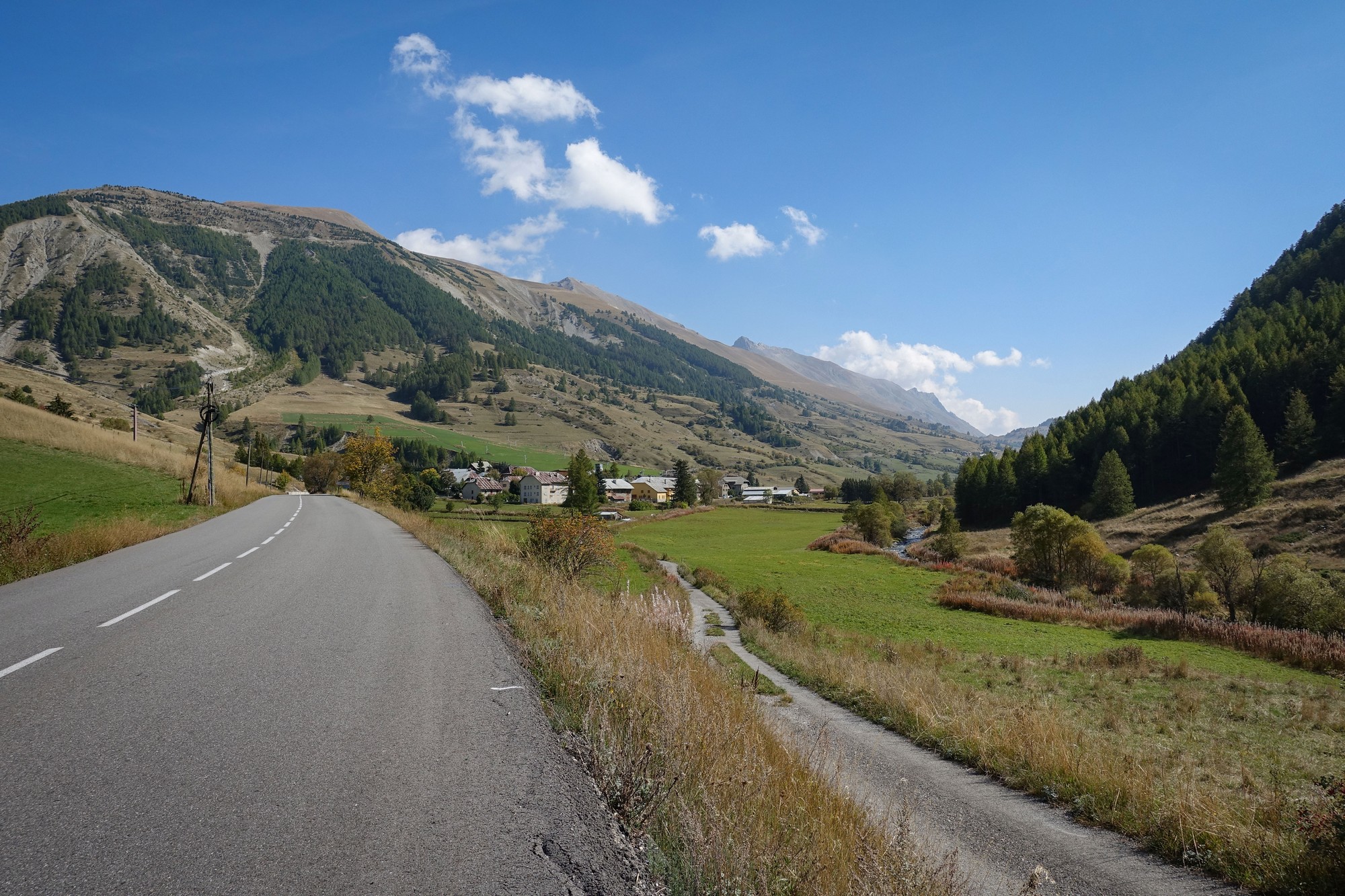
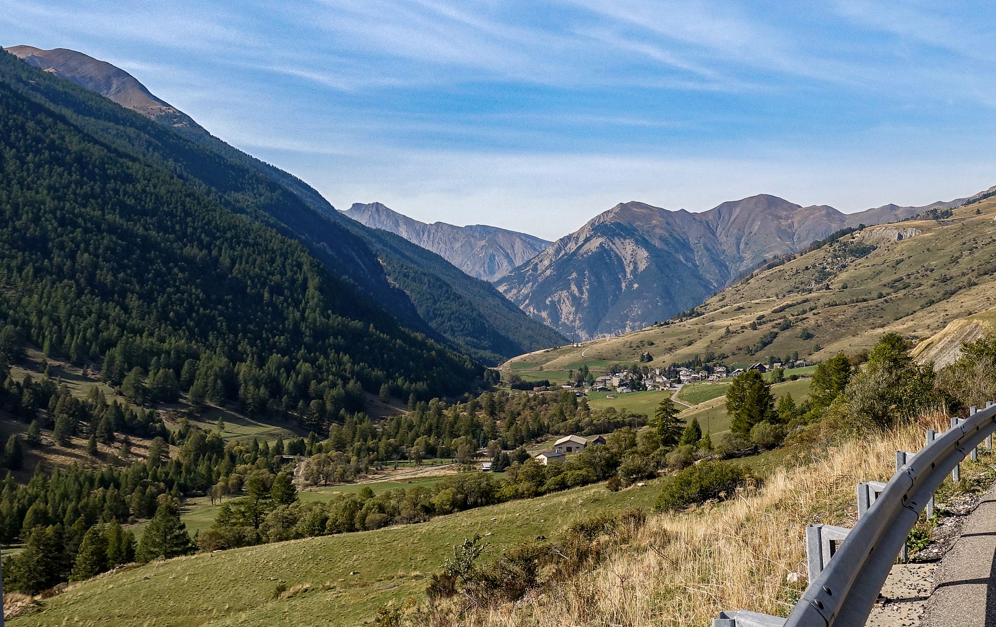
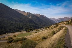
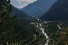
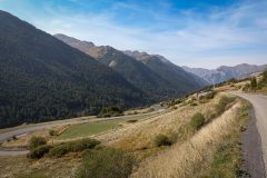
The prohibited section is about three miles long but only a mile or so of that looks risky. Once you get through the danger zone the road continues to follow the Ubayette river, its valley widening out further up. Soon I was approaching Larche, the commune from which the col takes its name.
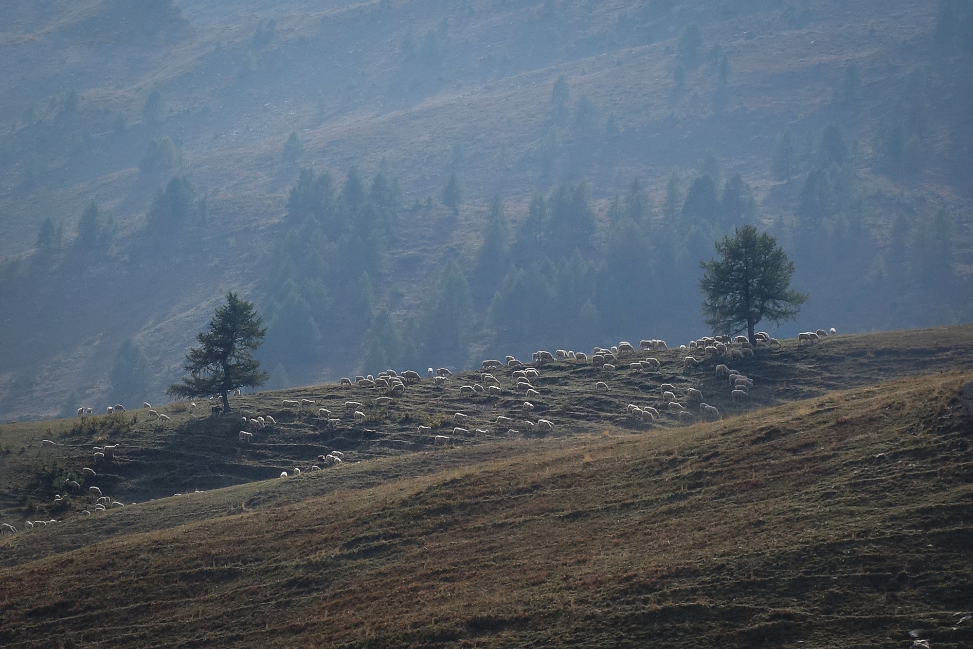
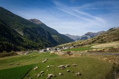
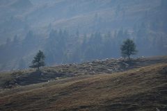
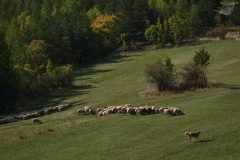
Herds of sheep were a frequent sight. They always look good contre-jour, I think.
In the eighty minutes it took me to ride the whole climb to the col, I counted just seven articulated lorries (mainly carrying logs) go past me. And no more than that of other vehicle types. So it was pretty quiet. Mostly there were no vehicles in sight. A sometimes frustrating headwind was blowing down from the col. Indeed the few large lorries that did pass me provided a welcome respite from the breeze when they dragged the air, and me, with them as they went by.
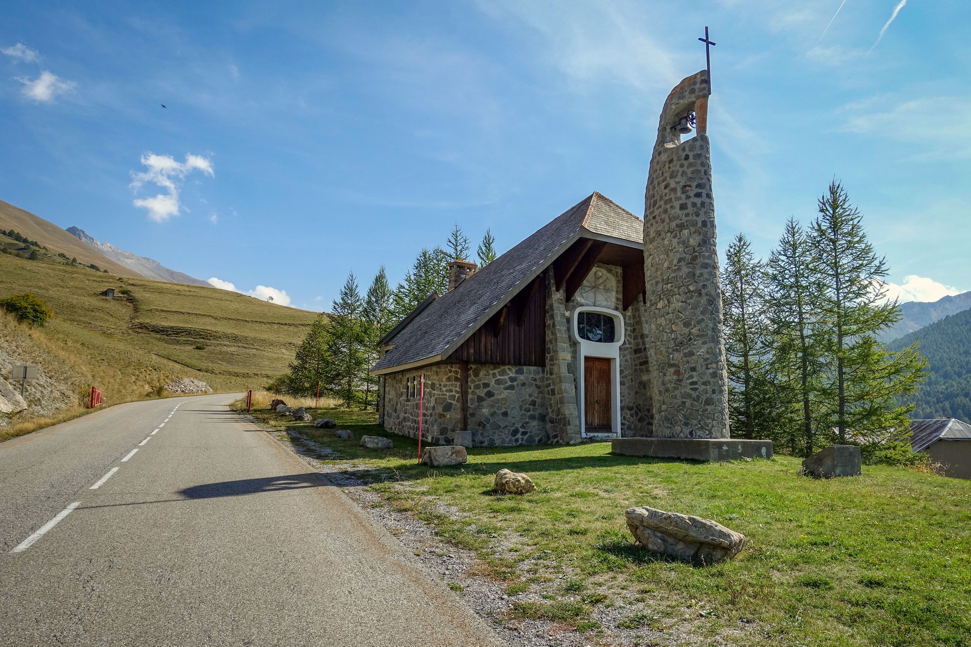
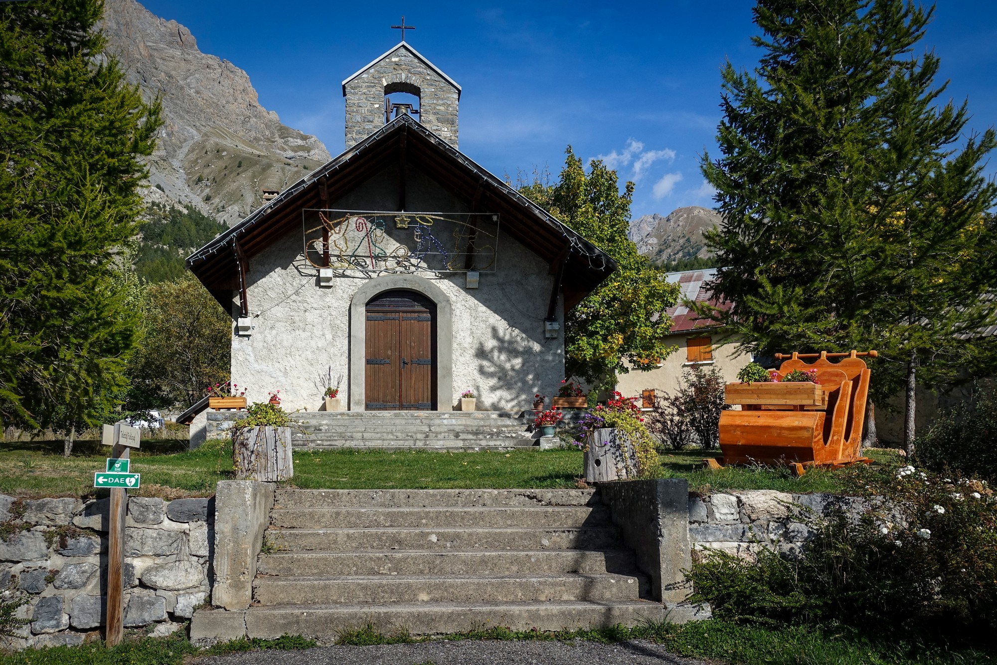
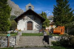
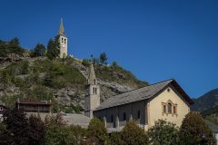
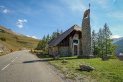
Two and a half miles from the col, just outside Larche, is a tiny hamlet called Maison-Méane with this interesting-looking chapel. I like the design. After the ride I found out that the bell tower represents a marmot!
"... at the edge of the pass road, stands a chapel of contemporary architecture which should not be confused with the small Madeleine chapel located at the pass. Built in masonry, its original design and its separate bell tower in the shape of a stylized marmot are not lacking in appeal." See here for more info
Aside from the wind it was an easy climb to the top.
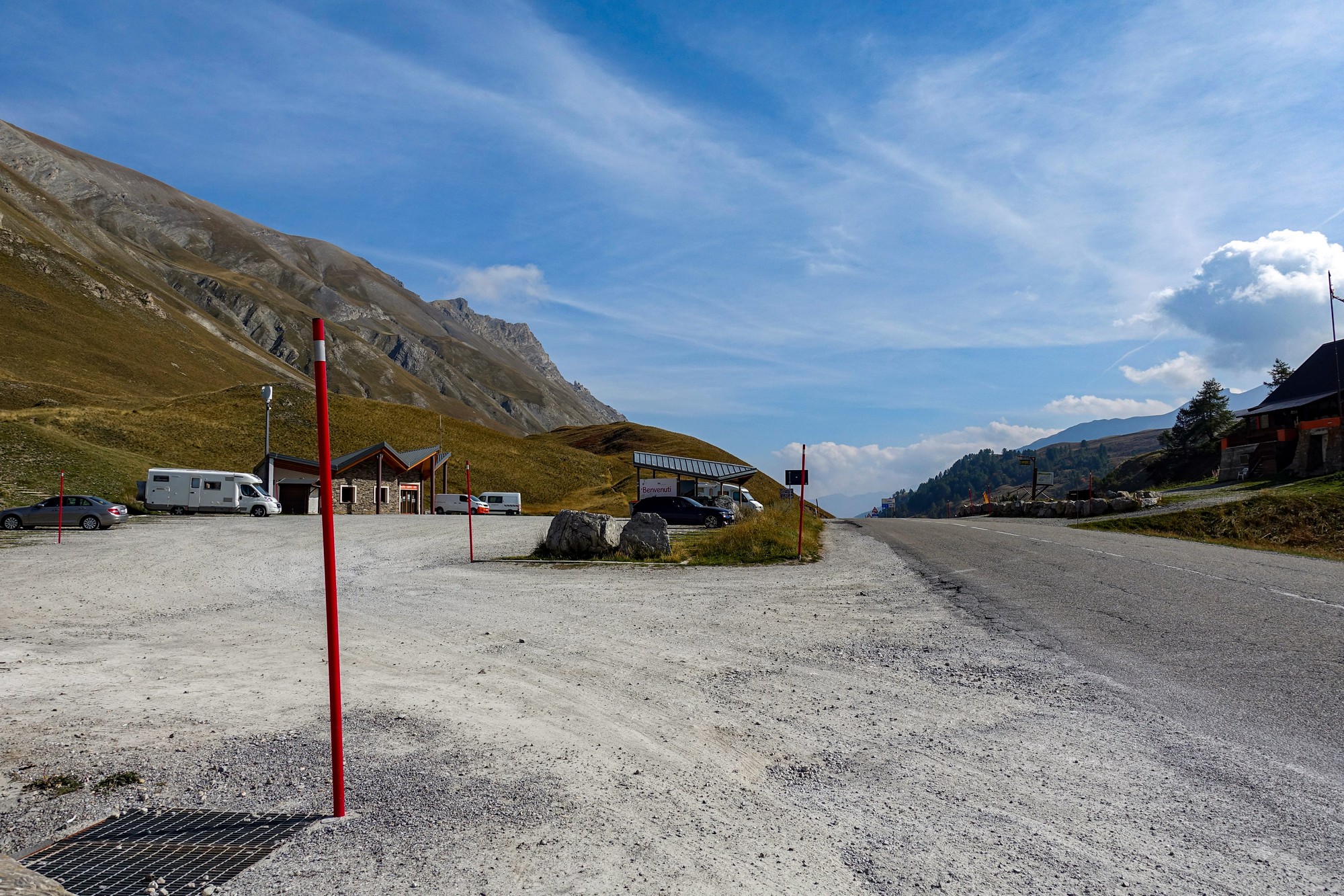
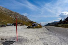
There was not much at the col, save for a handful of cars and motorhomes.
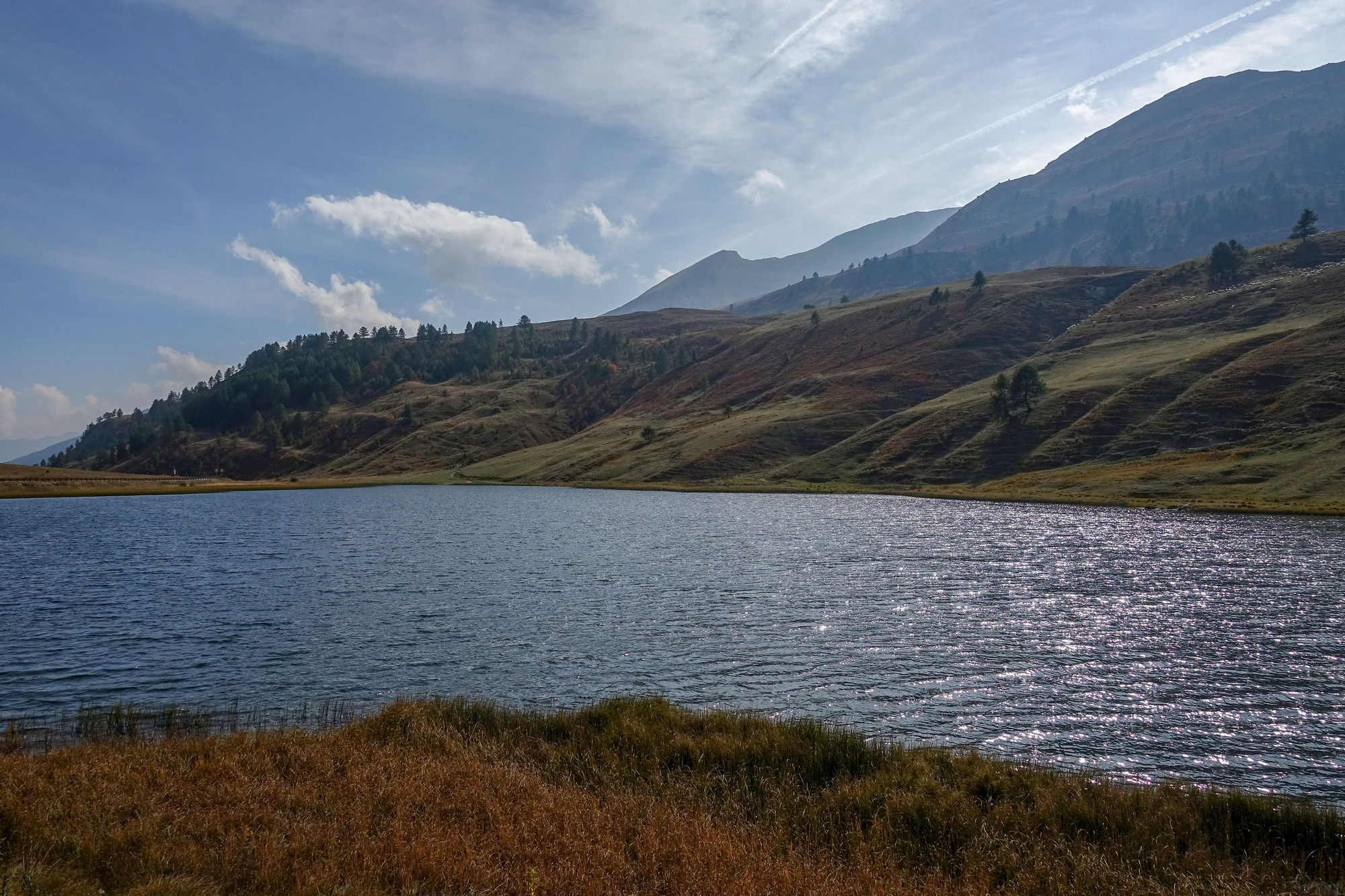
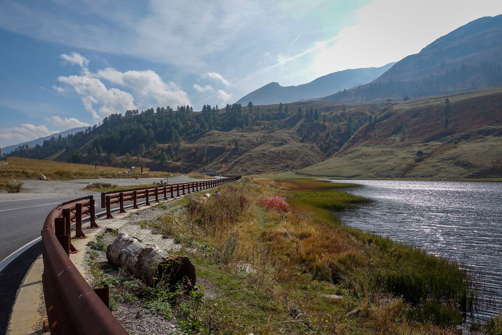
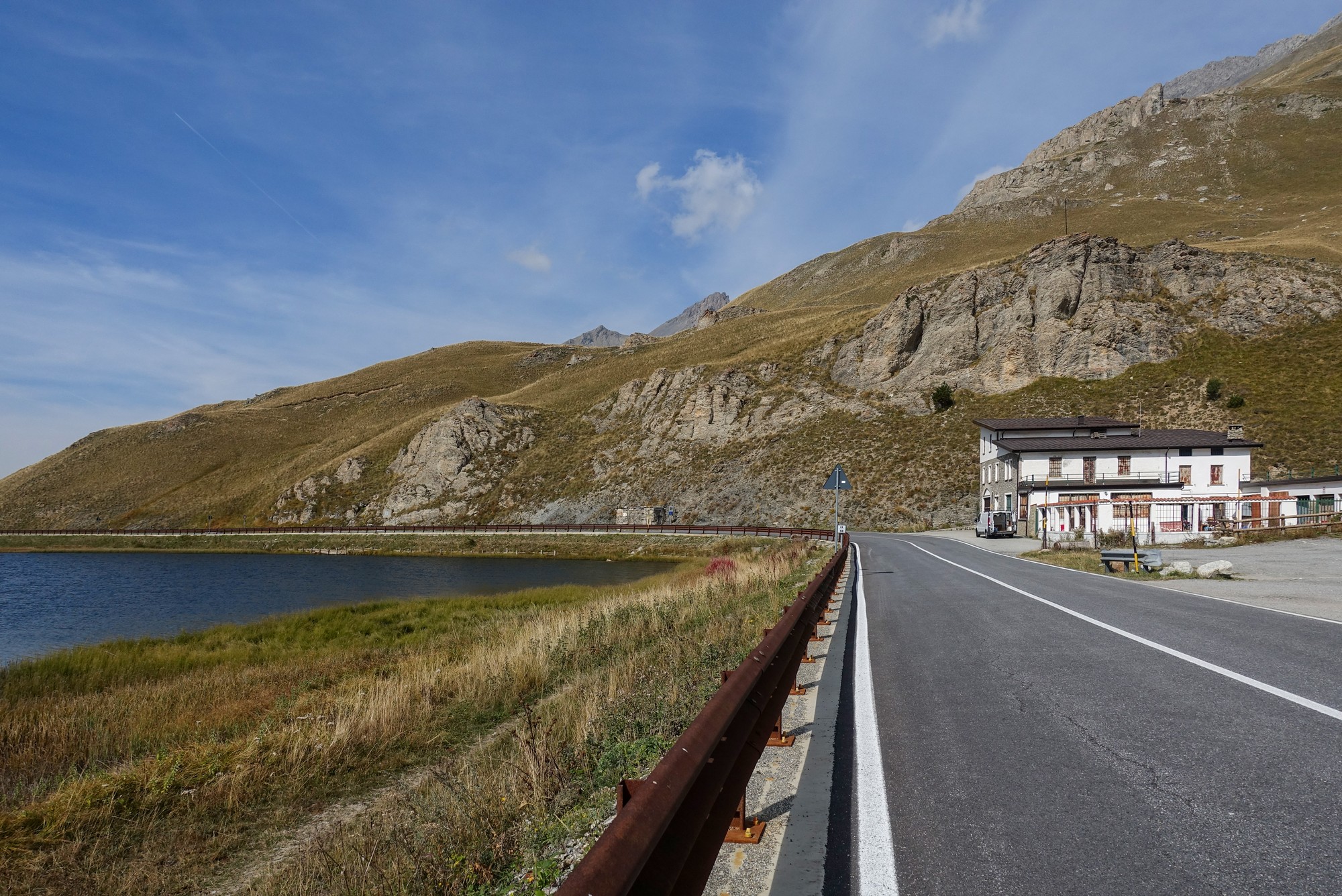
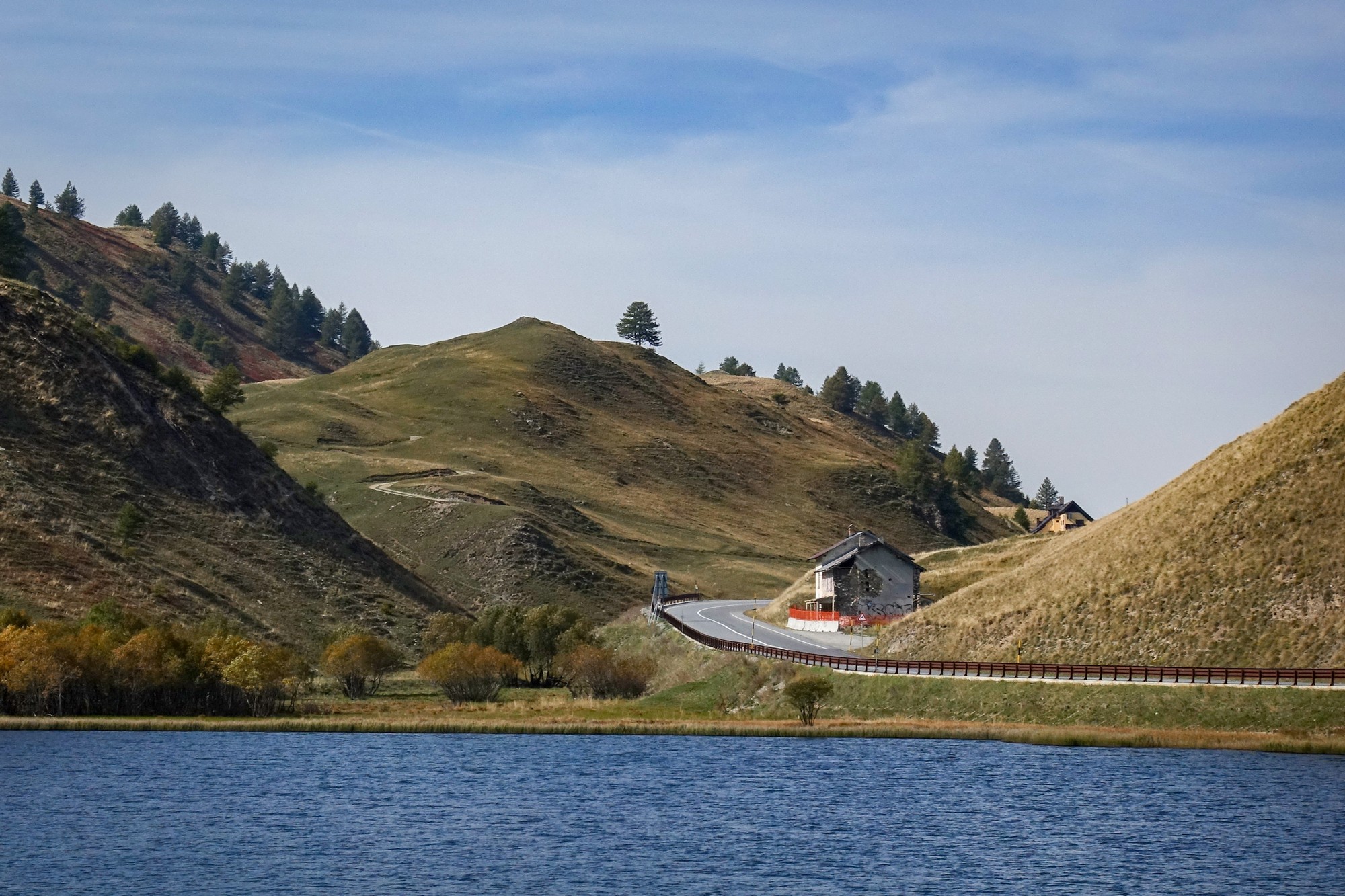
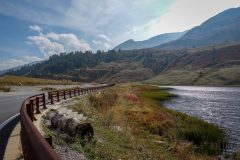
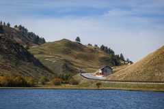
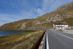
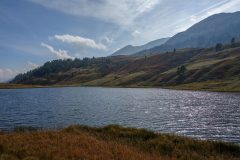
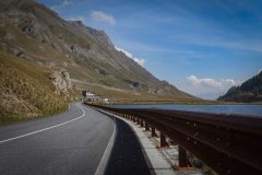
Just beyond the col, on the Italian side, the road sweeps around a lake, Lago della Maddalena.
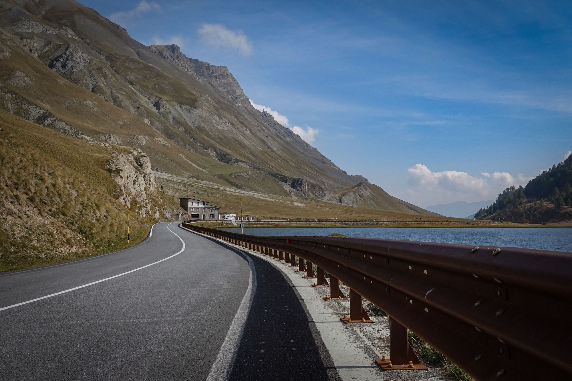
The widely-recommended restaurant by the lake was closed, hopefully just temporarily.
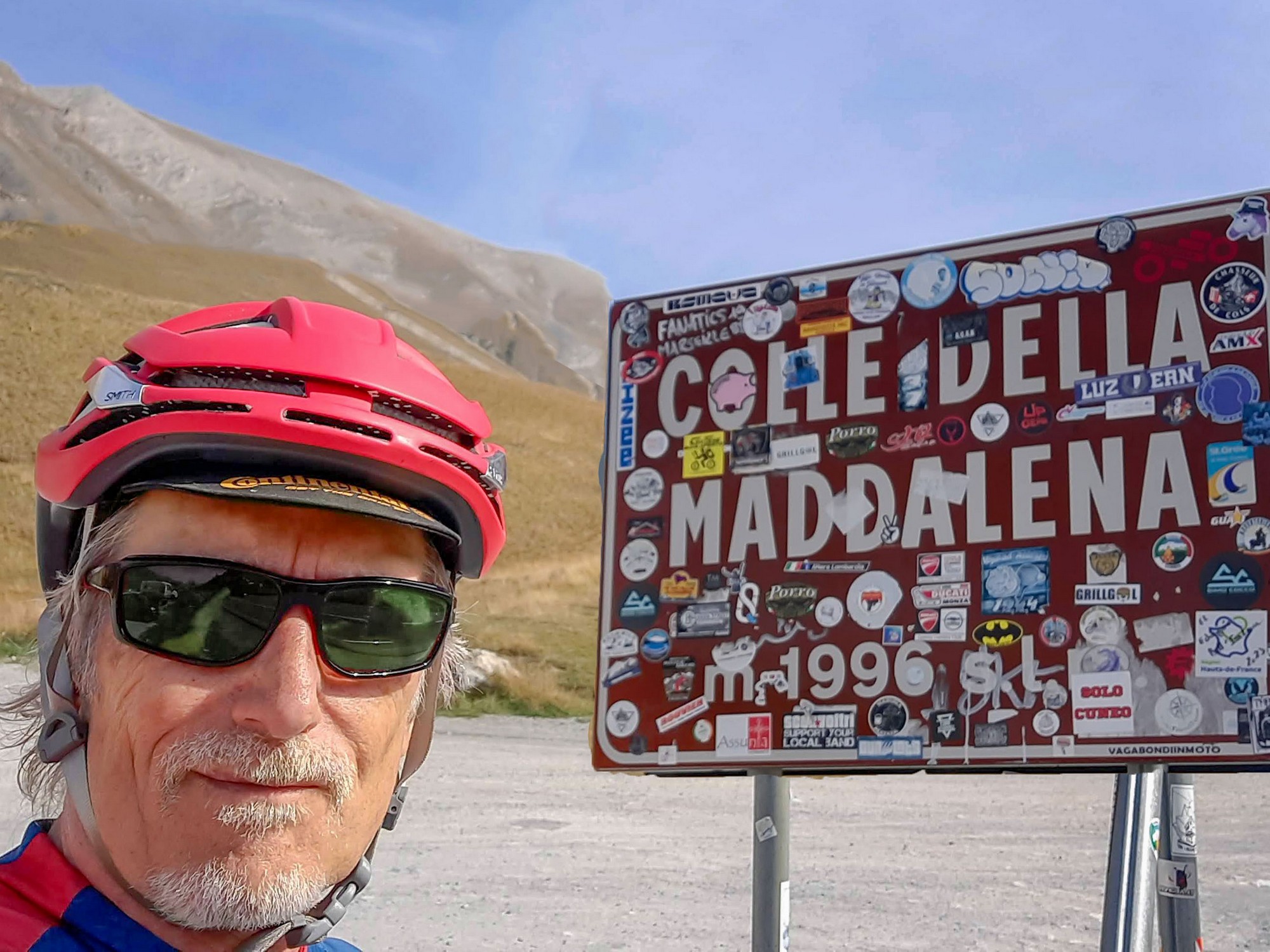
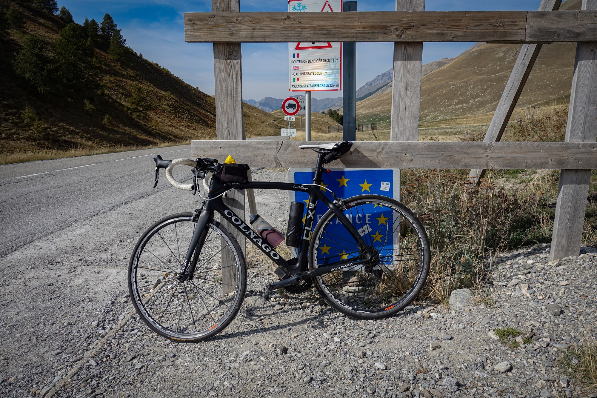
Back up at the col I stopped to get my col photo and ate half of my HDM sandwich, whilst trying to shelter from the wind.
I put my rain jacket on before the descent, but needn't have done because I now had a welcome tailwind. Quite a few miles of that road have a completely new surface so it was very enjoyable coming back down.
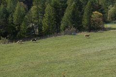
I took a photo of some sheep and three patous way down in a field to my left.
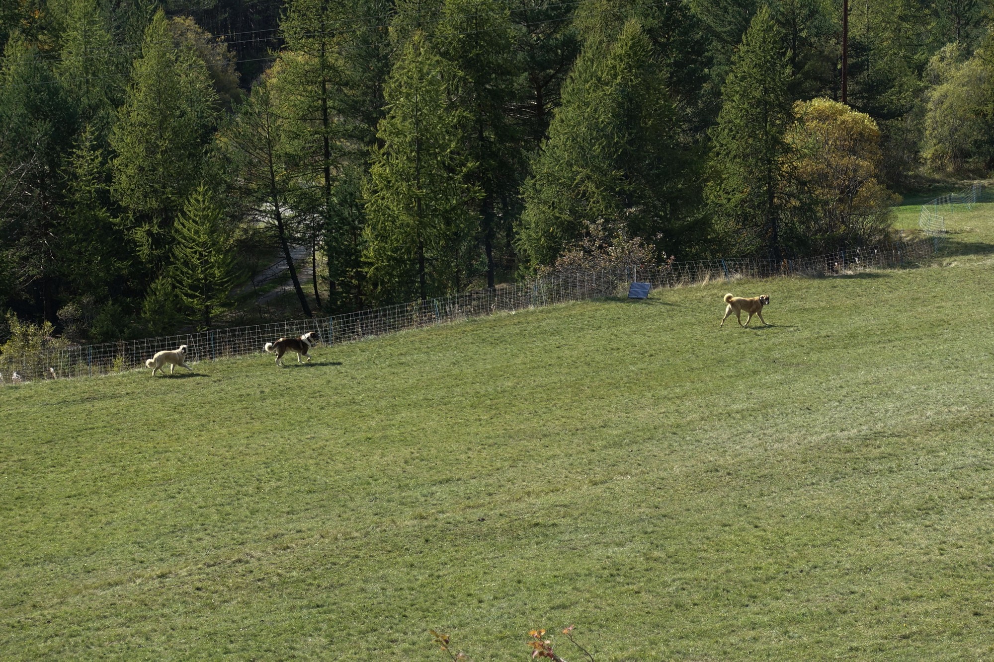
Even from that huge range the dogs still looked up at me, seeing me as a potential threat to the herd.
Once again I thought that I wouldn't like to meet one up close. Then, just a few minutes after that, as I turned off for a short detour to Saint-Ours, I saw some guys rounding up a herd of sheep. I heard a dog bark and then around from the other side of their pickup came a huge patou, barking at me as it approached. If the men hadn't been there I might have been quite worried, but I felt sure that the dog wouldn't do anything with the shepherds so close, commanding the dog to back off.
These dogs, known as patou, but more commonly referred to as just 'chiens de protection', are used to guard the sheep herds against attacks from predators, chiefly wolves. Invariably the breed of dog used for this work is the Pyrenean Mountain Dog (Chien de Montagne des Pyrénées). They are massive beasts and apparently quite fearless in the face of danger.
The quick detour up to Saint-Ours was just over a mile and a half at 8%, the first few hundred metres of which was littered with sheep droppings where the herd had evidently just come down the road from higher ground. I heard more angry-sounding dogs in the woods to my right, directing their barking at me. It looked like there was a fence between them and me but I was still glad when they quietened down as I rode away up the hill. I spent much of the rest of that climb wondering what my actions might be if I were attacked by wolves!
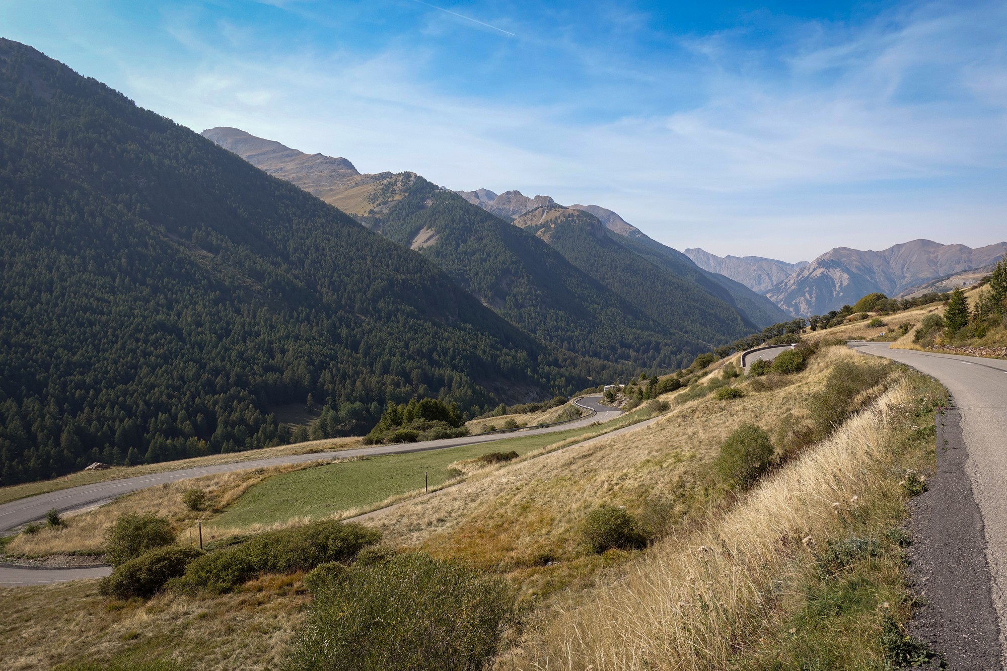
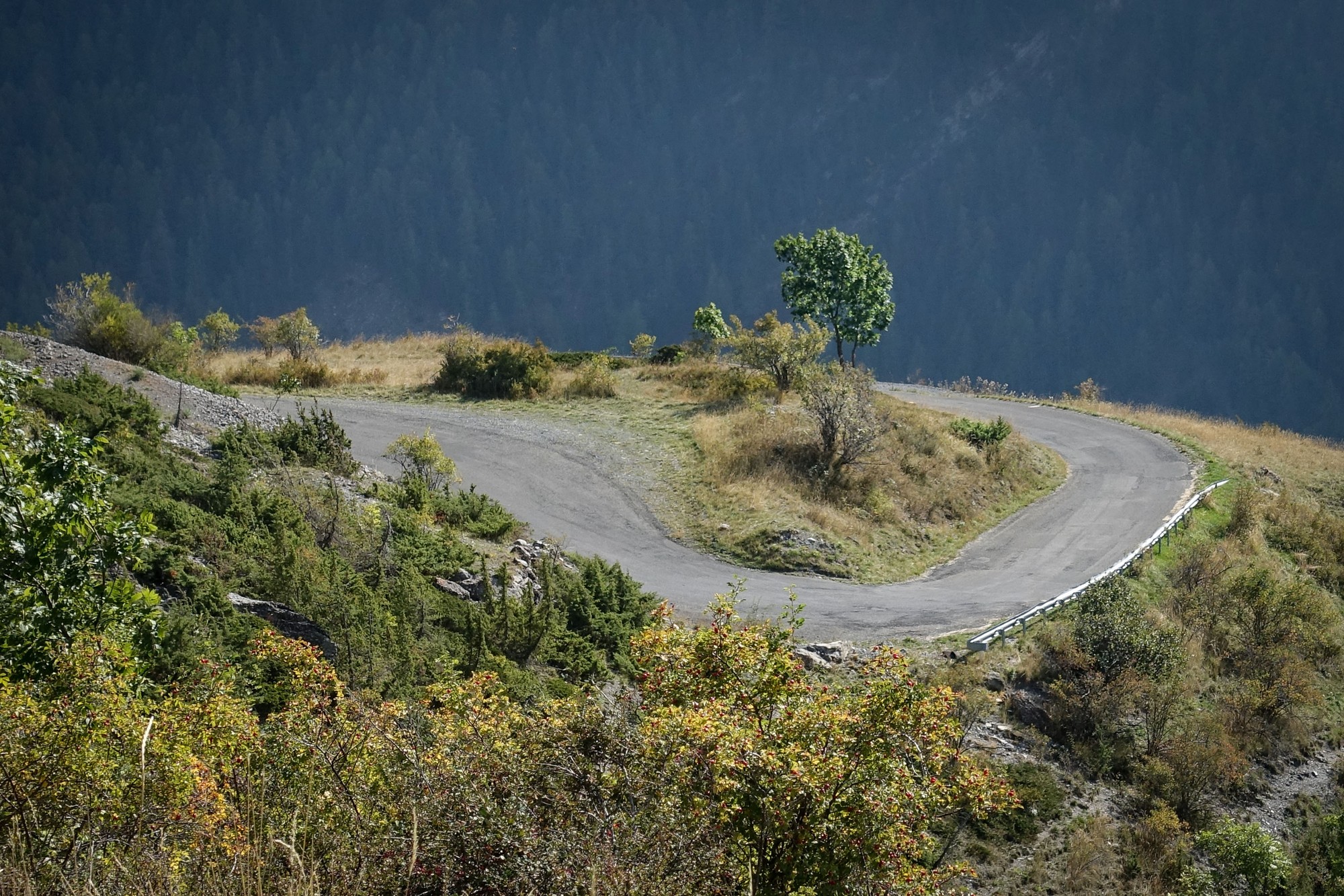
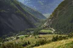
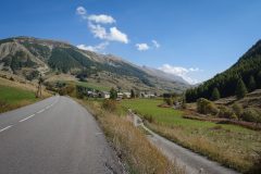
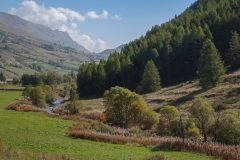
The road climbed quickly offering lovely views over the valley.
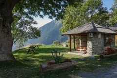
I soon arrived at the small hamlet of Saint-Ours, which was rather well-appointed, with an auberge and lots of facilities, picnic tables, toilets, information boards, etc.
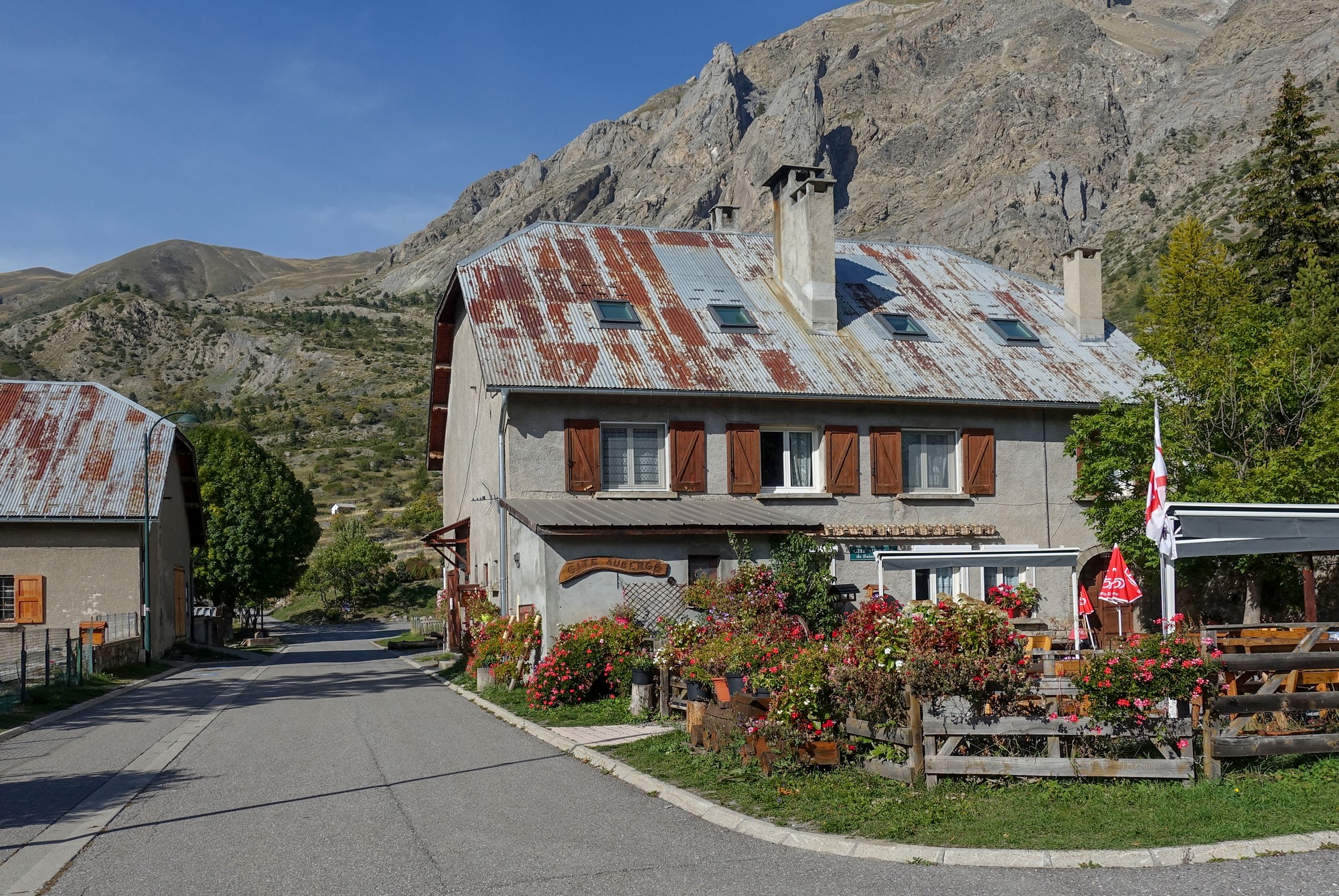
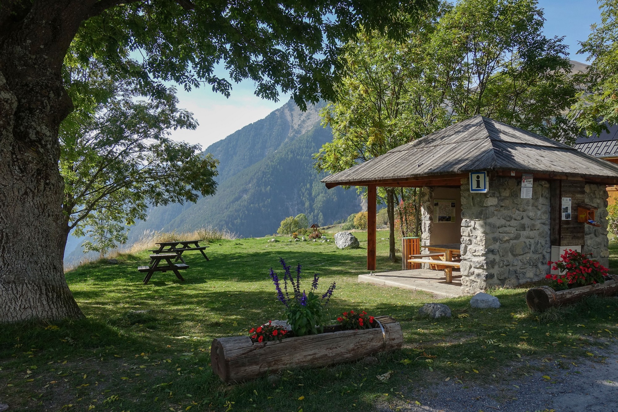
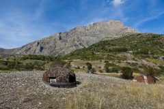
This place serves as a starting point for walks into the mountains, particularly to parts of Fort superieur de Saint-Ours, a part of the Alpine extension of the Maginot Line.
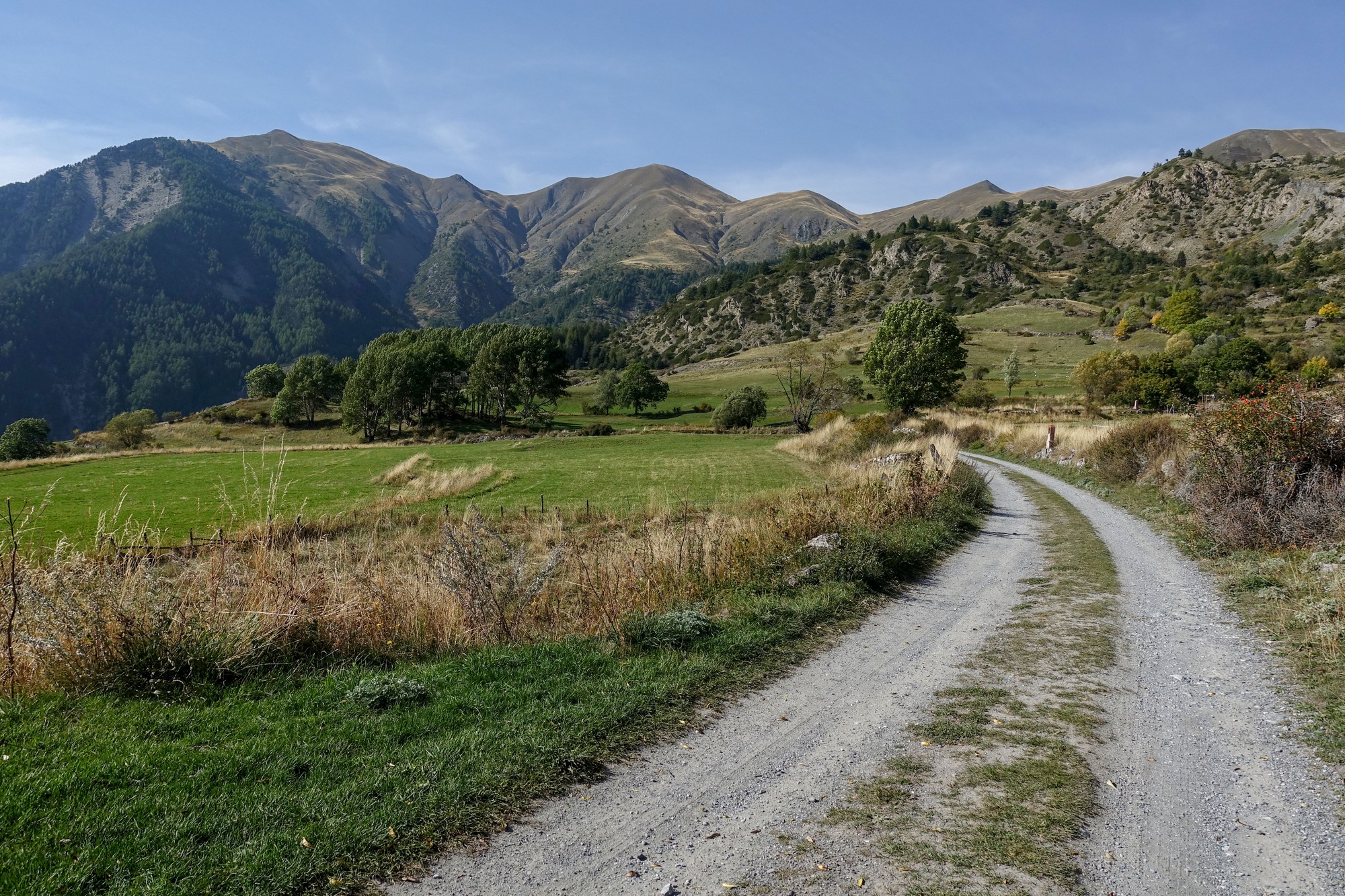
I'd gone as far as I could up this road. It turned into a gravel track, which I could have explored further had I been riding my gravel bike. So I just stood there admiring the view and ate the second half of my HDM sandwich.
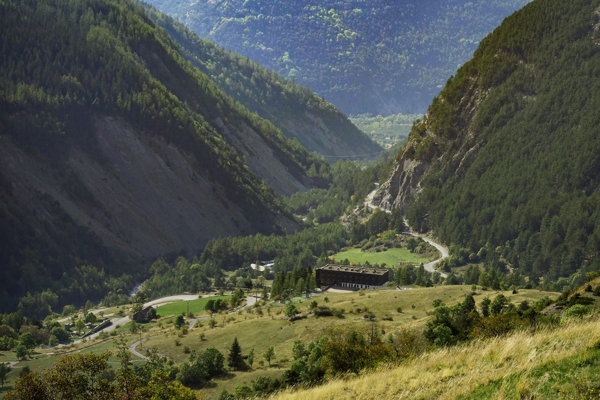
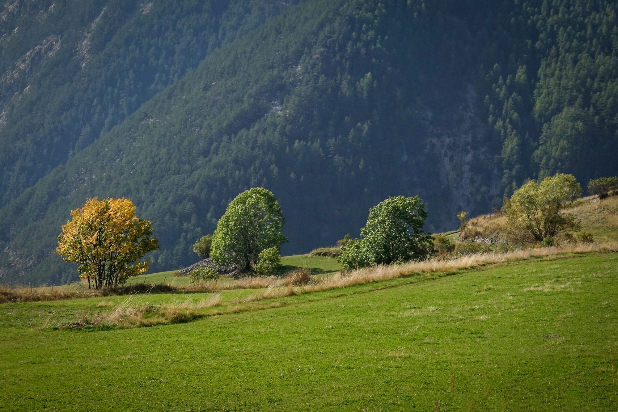
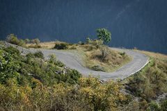
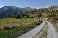
I made my way back down to the valley road, stopping for photos on the way.
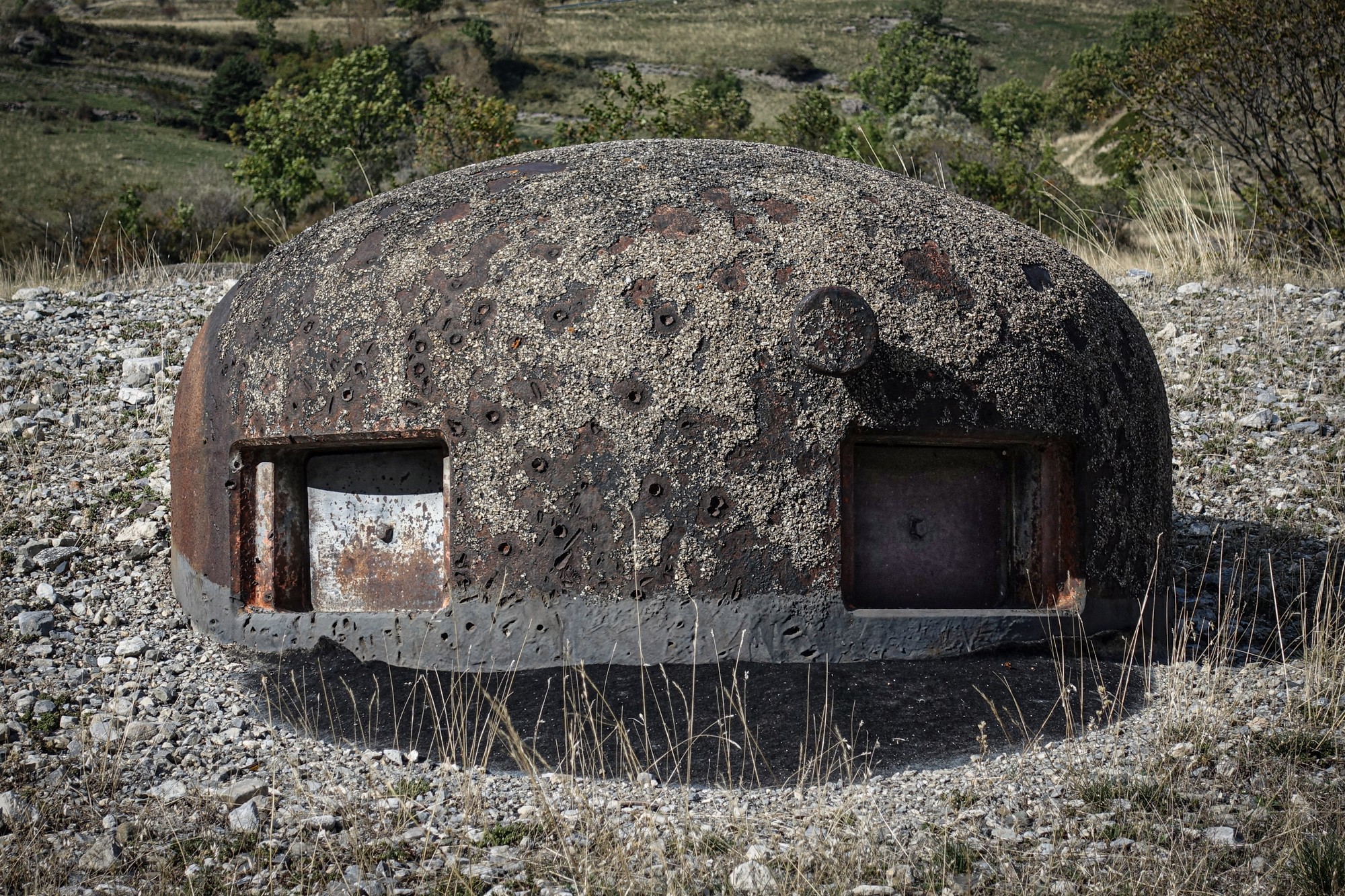
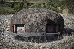
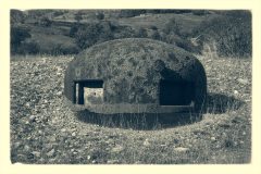
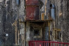
Once back on the main road I stopped briefly to investigate l'Ouvrage Saint-Ours Bas, a fortification forming part of the Maginot Line, its purpose to defend this strategic road across the Franco-Italian border.
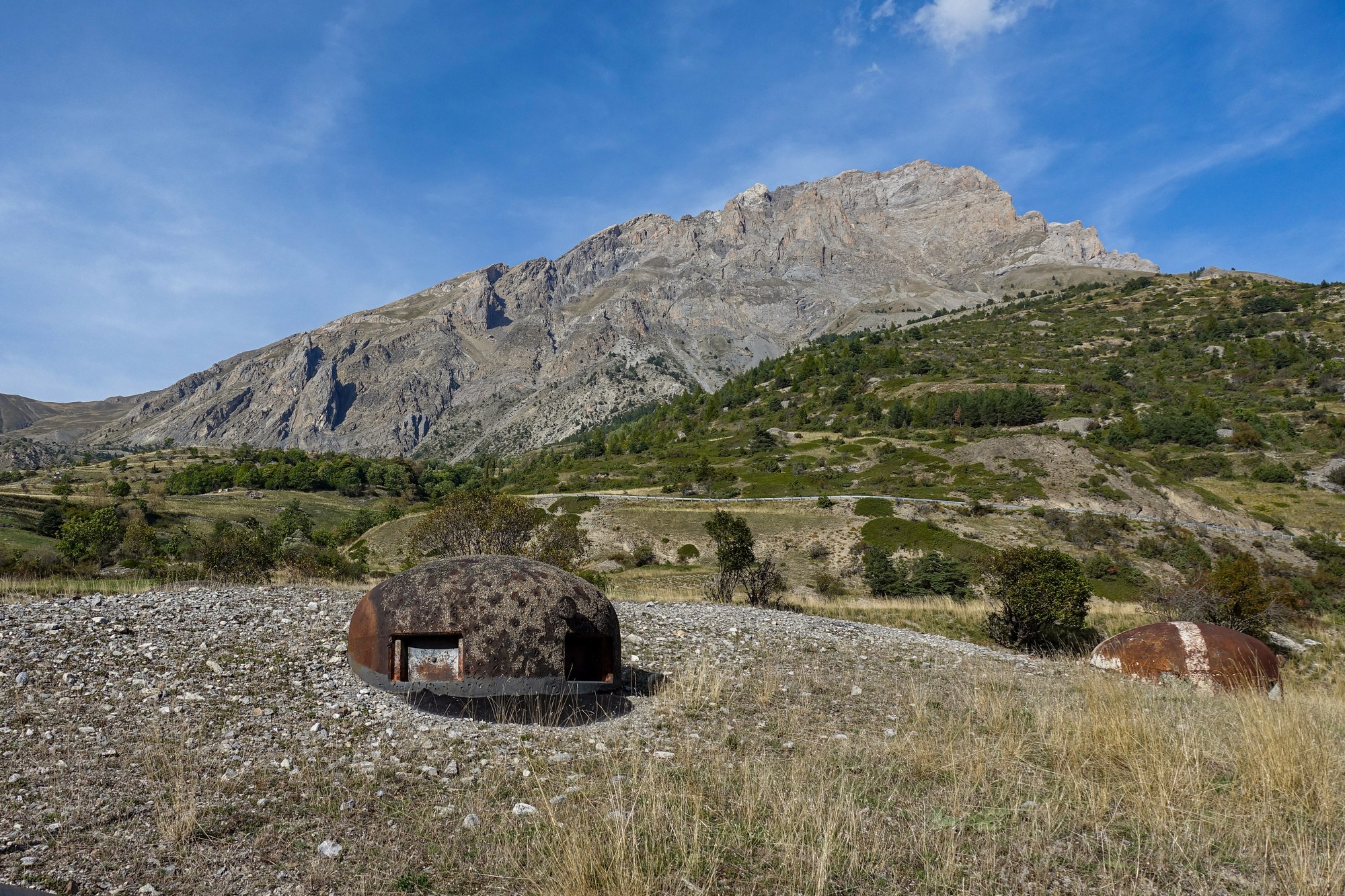
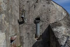
The turrets are heavily pock-marked from artillery fire; a chilling reminder of the brutality of war.
Shortly after passing through the small village of Meyronnes, I once again entered the danger zone.
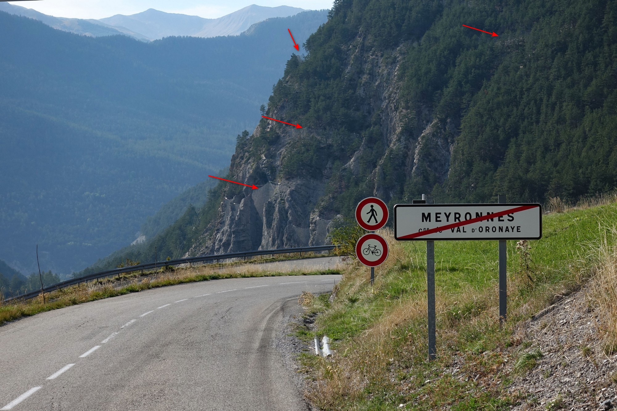
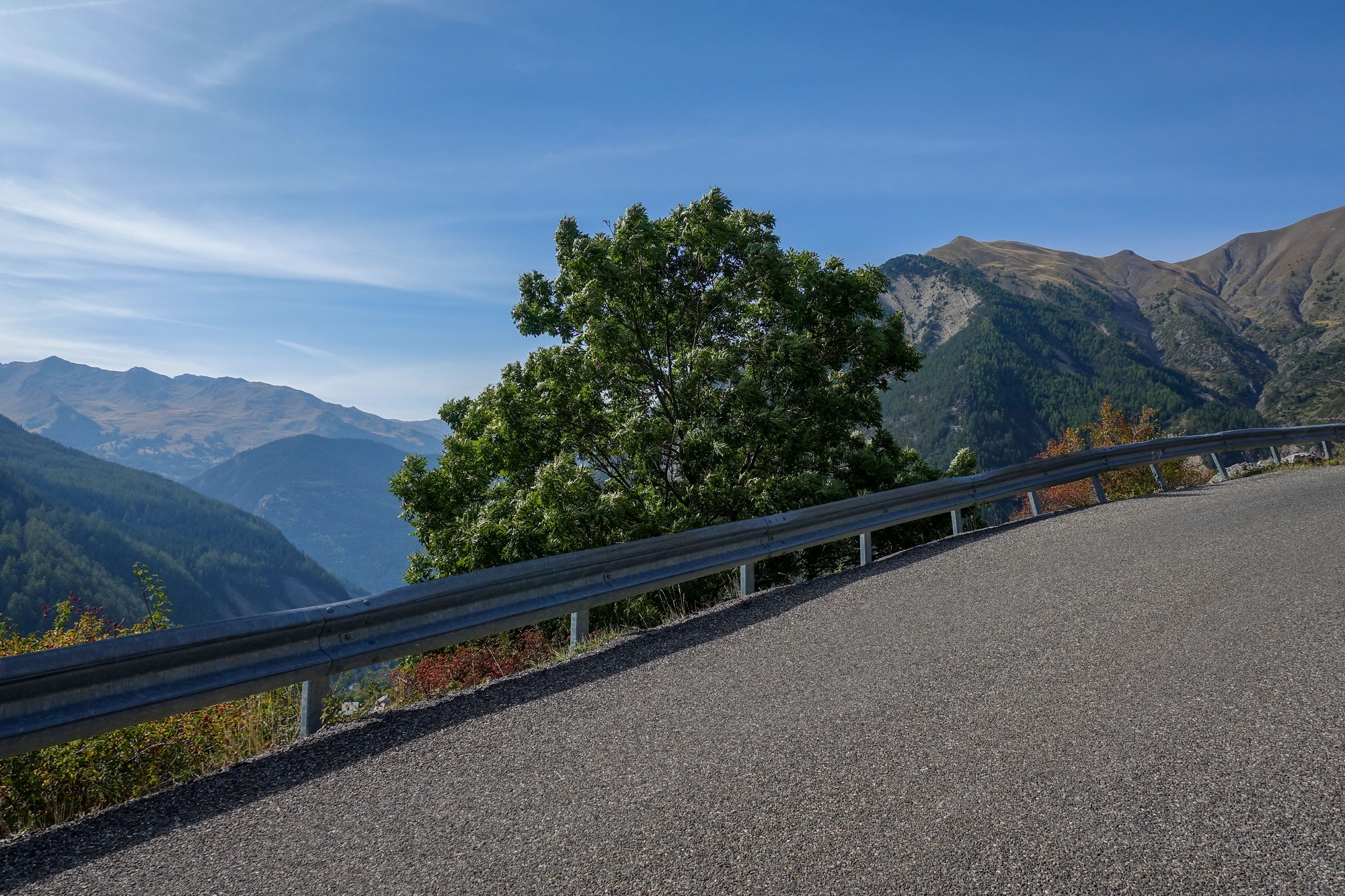
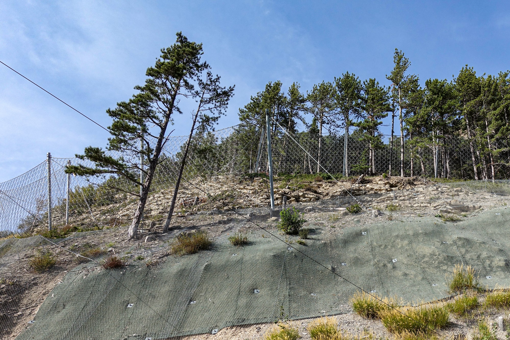
This time I grabbed a few photos
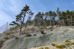
At one place there were multiple lines of defence against falling rocks. A sort of green netting had been pinned to the ground. This was covered by another larger mesh, and further up were two or three steel mesh fences. You can't say they haven't made an effort to protect this road! In contrast to the military fortification further up the valley, designed to guard against invasion from Italy in WW2, these rockfall defences were facing up to Mother Nature herself, ultimately a much tougher opponent!
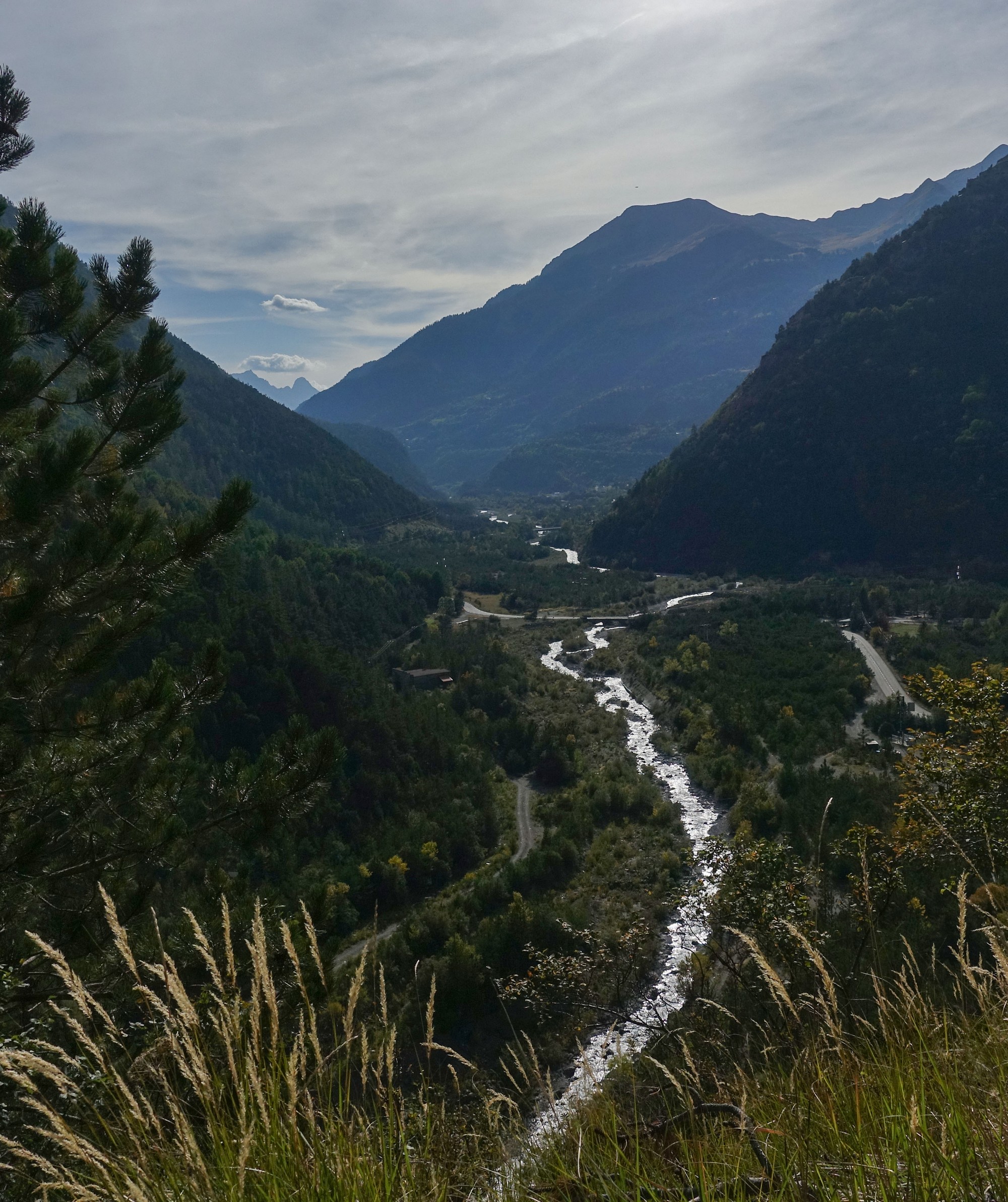
The road winds its way back down to the Ubaye valley road, after which I had just five miles of gentle downhill back to Jausiers.
Col de Larche is not the most glamorous, nor the most challenging, nor the most famous col in my 'collection', and is somewhat lesser-known among cyclists, for good reason, but I'm glad to have got this one ticked-off and added to my list of Franco-Italian border cols. I have now completed six of the eleven cyclable crossings
Things I learned after the ride:
- Col de Larche is (was) sometimes known as Col de L'Argentière
- The Tour de France has never used it in a stage. It was used once in the Giro d'Italia.
- Larche, and indeed the wider area, is in an area of non-zero risk of seismic activity. Several tremors of factor 5 (enough to wake the sleeping and for things to fall off shelves) have been experienced over the past hundred years. And I now realise that it's seismic activity that the systems are monitoring in the danger zone. A teenage girl was killed in 1987 when a boulder landed on a bus near Meyronnes. There have also been numerous avalanches along this valley, with two fatalities.
- Being as it links France and Italy via a fairly easy route, it has seen lots of action in various wars over the centuries.
- The old hamlet of Maison-Méane (the one with the marmot bell-tower) was destroyed during WW2 and was rebuilt nearer to the road and further upstream.
- The old hamlet of Saint-Ours was destroyed during the war and rebuilt lower down the hill. The old chapel (Chapelle du Vieux-Saint-Ours, not the one in the photo above) is the only building that remains of the old village. It's located further up that track where I stopped.
- Larche itself was completely destroyed at the end of the war and was also rebuilt.
- Simone de Beauvoir stayed in Larche in 1939 during one of her extensive mountain hikes.
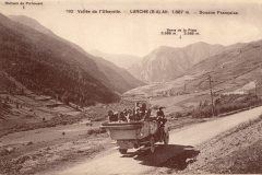
When researching Larche I found this wonderful old photo, taken in the 1920s or 30s, looking down the valley towards Larche.
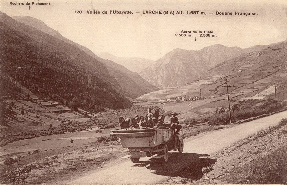
I then discovered that I had also taken a photo from almost the same place.
I became fascinated with comparing the two photos. I converted mine to sepia like the old one and aligned it, so if you hover your mouse over the photo below you can compare the things that have changed during the past 100 years. (On a phone just tap on and off the image).
Between the two photos, many of the fields have the same borders, to the right. The path towards Larche is still there. To the left, although there are more trees, the shadowy features of the forest are uncannily similar, making me realise I had taken my photo at roughly the same time of day as the old one.
It's a sobering thought that the people in that old photo are no longer with us, nor even are the buildings of Larche, having been destroyed in the war. Yet the mountains look exactly the same. They stand there oblivious to the trivial and miniscule comings and goings of mankind. And yet, in the even grander scheme of things, they too are mere transients. The Alps are quite young and were not around for the dinosaurs to see, and they, like everything, won't last forever.
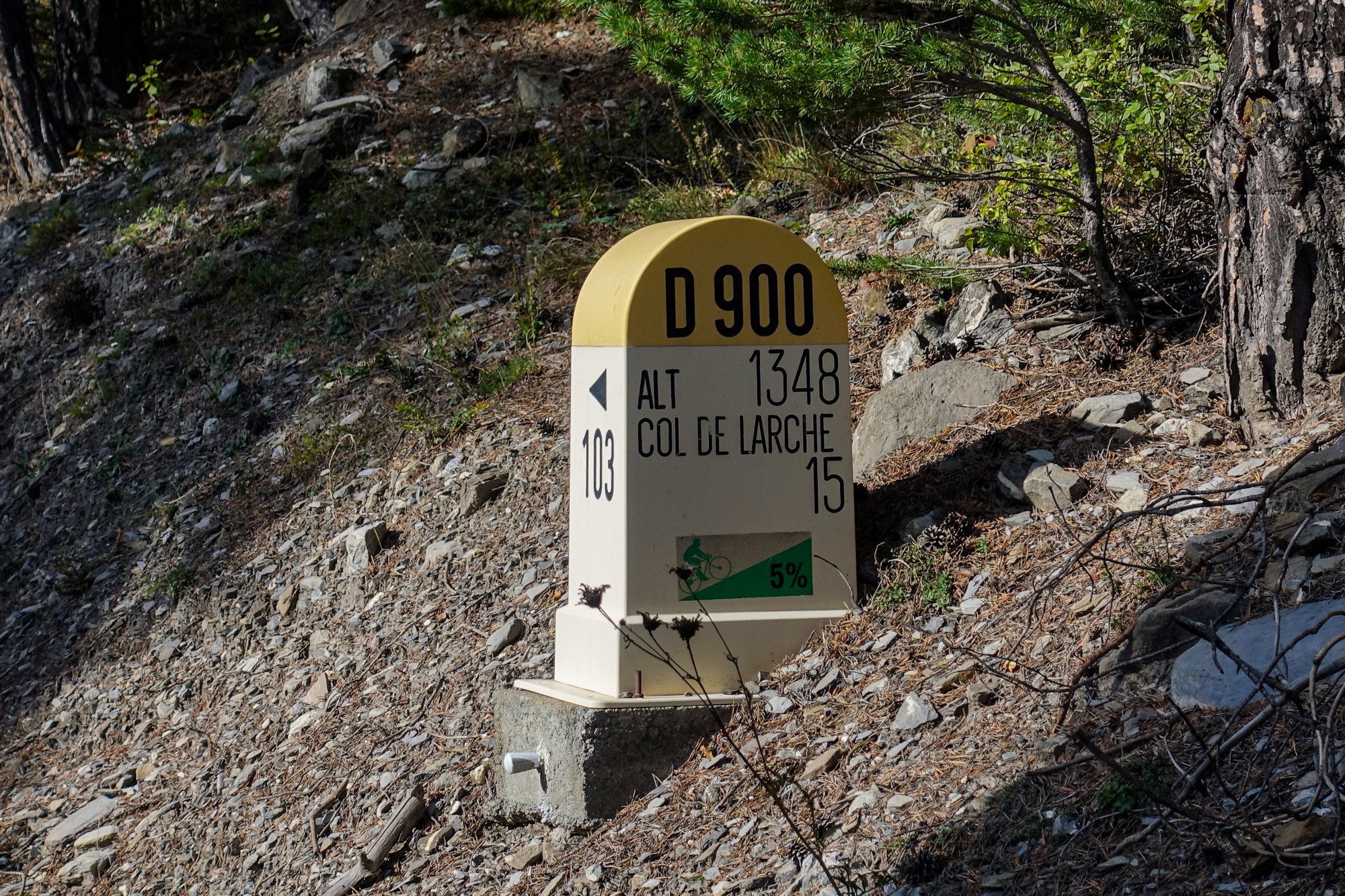
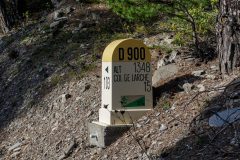
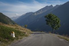
Col de Larche might lack the kudos of other alpine climbs - you could call it utilitarian even - but it is nervertheless a wonderful ride along the beautiful Ubayette valley, flanked by majestic mountainscapes and culminating with the lake at the top. It's a pity about the prohibited section (there is no easy way around it). Interestingly there must have once been an intent to welcome cyclists because I saw a roadside borne inside the prohibited section, 15km from the summit.
My pre-ride banana, a sandwich and one bidon of juice were all I required for this excursion.
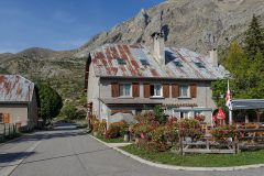
One last non-cycling thought on this post: I've read on more than one occasion that the corrugated (often rusty) tin roofs often see on buildings in these parts are a sign of the relative poverty of the local inhabitants. But I'm beginning to wonder if these tin roofs are in fact a legacy of the rebuilding that took place after the war?
Further reading
- Larche - wikipedia article about the town, history, seismic activity, etc (in French - right click to translate)
- Col de Larche - info about the col by bike and some history
- Patou (Pyrenean Mountain Dog)
- Departmental Dossier on the Major Risks in the Alpes-de-Haute-Provence (this one is for geeks only - loads of info about floods, landslides, earthquakes, etc. In French)
- Ouvrage de Saint-Ours Bas - including photos inside the fortification
- La ligne de résistance ( LR ) en Ubaye - Facts about the wartime line of resistance composed of the fortifications in this area
Gallery
Click to enlarge / see slideshow

















Good research pictures and your observations make an absorbing read.
Thanks for your comment Al
Hi Vince
I really enjoyed the amazing scenery and your detailed descriptions.
Thanks for your comment Eric.
Really helpful for a trip I’m planning later this year. Thanks for going to the trouble of writing this.
Thanks for your comment Tom. There’ll be another post coming up soon of another ride from Jausiers
Cheers
Vince
Bonjour Vince, un article sympathique avec des photos bien documentées qui m’a rappelé des souvenirs d’une sortie à l’identique en 2010. Lors de mon séjour, j’avais visité le Fort de Tournoux, une des fortifications les plus incroyables de France ! En fait, la moitié du fort est construite DANS la montagne !
Bonjour Joris. Merci pour votre commentaire. Ça fair plaisir de vous entendre à nouveau. La route était-elle interdite aux vélos en 2010 ? Le Fort de Tournoux a l’air incroyable – je dois y aller la prochaine fois..
Bonjour Vince, oui elle était déjà interdite en 2010 !
Voici un petit récit de ma sortie qui était quasiment la même que toi : https://www.bosses21.com/ma-collection/2010-2/alpes-col-de-larche/
Bonjour Joris. Merci pour l’information. Je ne savais pas que tu avais cet autre website.
Tu as raison, votre voyage de 2010 était quasiment identique au mien, à l’exception de la direction du vent !
” Interestingly there must have once been an intent to welcome cyclists” – I cycled over the Col de Larche in, I think, 2008. It wasn’t prohibited then.
Thanks for your comment Nick. Interesting to know.
Cheers
Vince