Distance: 40 miles. Elevation: 5829 ft.
Col de la Bonette
Today I tackled, once again, the highest paved pass in Europe, La Cime de la Bonette. This time I approached it from the northern side. See my previous post about the ride from Saint-Étienne-de-Tinée to the south. I can’t make my mind up as to which side I prefer!
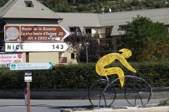
The day started with a five mile ride from my campsite to Jausiers, the traditional start of the climb. As usual I dictated into my phone at various points on the ride. Photos added later, as relevant.
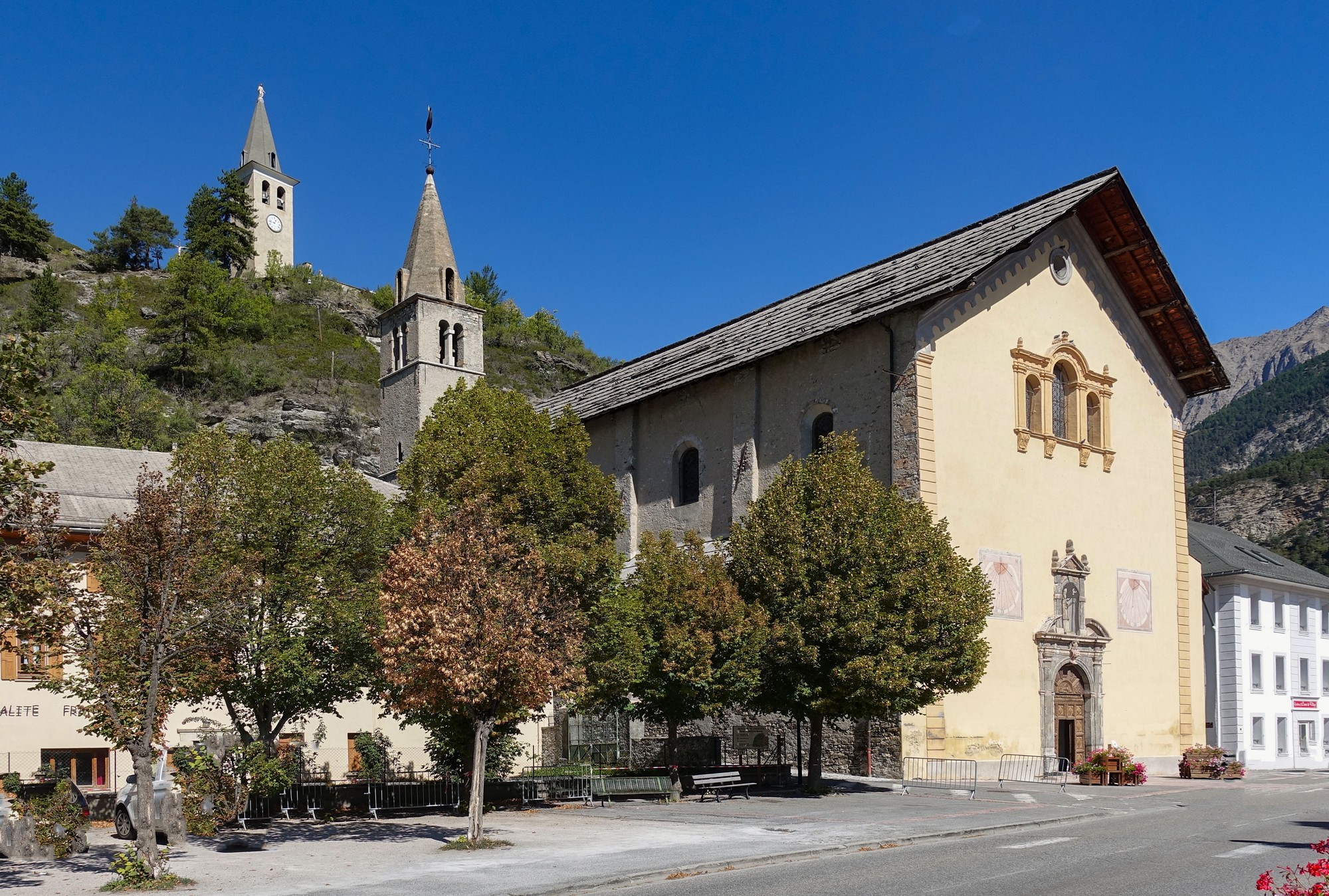
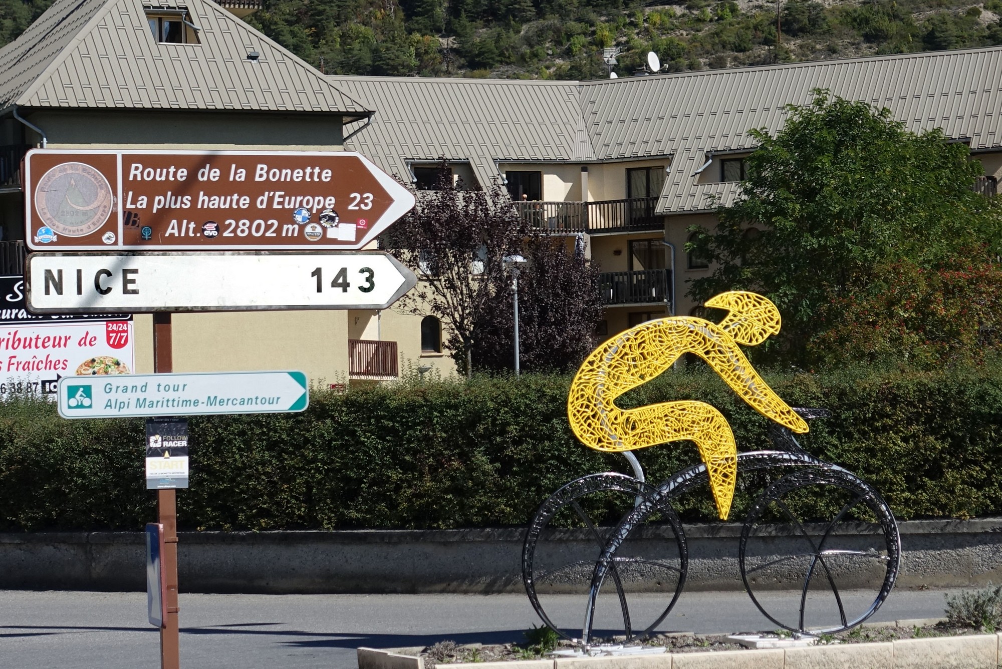
12:21 I’ve stopped at the just under 8-miles mark for this first report.
The air is cool once again but, as I promised myself yesterday, I have not worn shorts or short sleeves but I have overdone it this time – I am in longs and a long-sleeve roubaix top. I should really have been in ¾ length shorts like all the other cyclists around here today, and just a normal long sleeve top or even a top with arm warmers. So I know that I’ll be ok on the descent and maybe when I start getting to a bit of altitude, when it gets even cooler, but at the moment I’m too hot and sweaty. I’ve stopped here to have a half a banana and also to take my gloves off to try and cool down a bit. There’s hardly any traffic, just the occasional motorbike going by. There’s a very slight breeze but it doesn’t seem to be hampering my progress. Clouds are building up over the mountains so I don’t know if it will be sunny for the whole ride. The road is quite manicured so far in that there has been a cycle lane all the way up here, until this point at least.
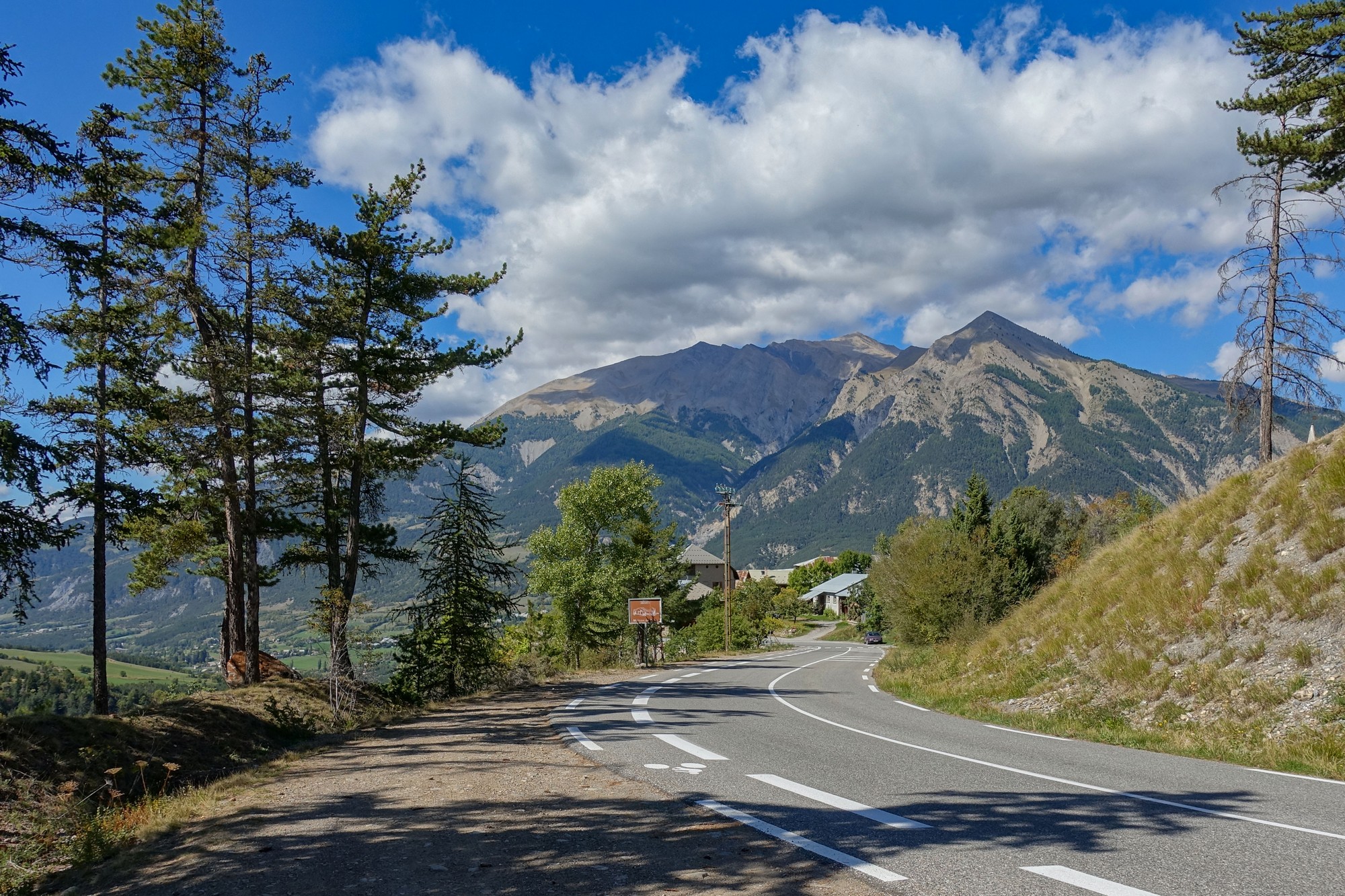
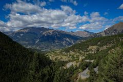
So not many mind-blowing vistas to take photos of so far, although of course it’s all relative and my judgement has been altered by recent experience.
….
13:56 I’ve stopped at 14 miles. At about 11 miles the cycle path stopped, and then somewhere over a bridge about 13 miles in there was a bit more cycle path, but again it’s gone here. The gradient hasn’t been too bad, fluctuating between probably 6 and 8 %. There was a slight downhill section just after Halte 2000.
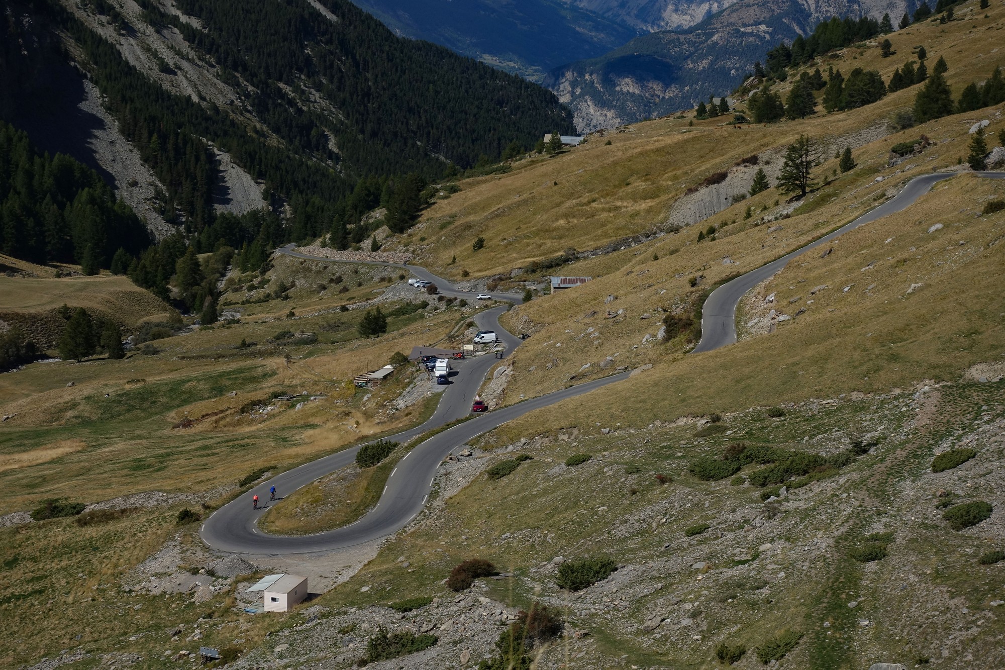
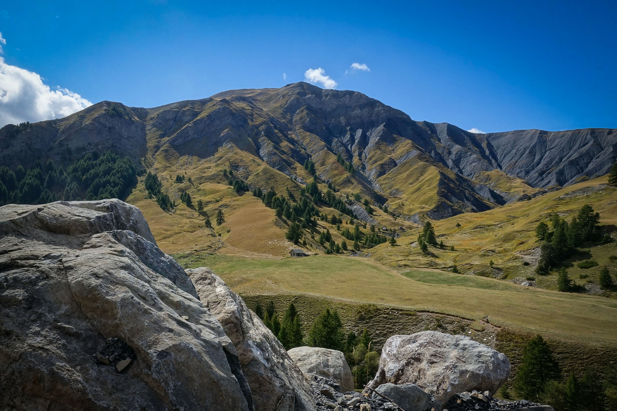
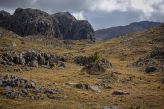
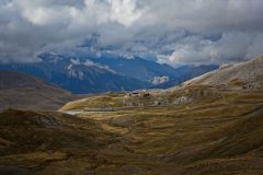
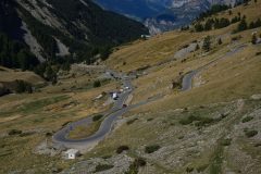
The scenery has become much more sparse and wild; in fact I can’t see any… [I look around], oh yes I can see one building from here. I’m now not feeling so silly wearing all this warm gear because the air is really cold up here, so my legs are no longer too hot, and I even put my snood on under my helmet and put my gloves on at the last stop at 13 miles for an energy gel, oh no I think it was 12 miles – I’m losing my memory – must be the lack of oxygen.
The rest of this post was written after the ride
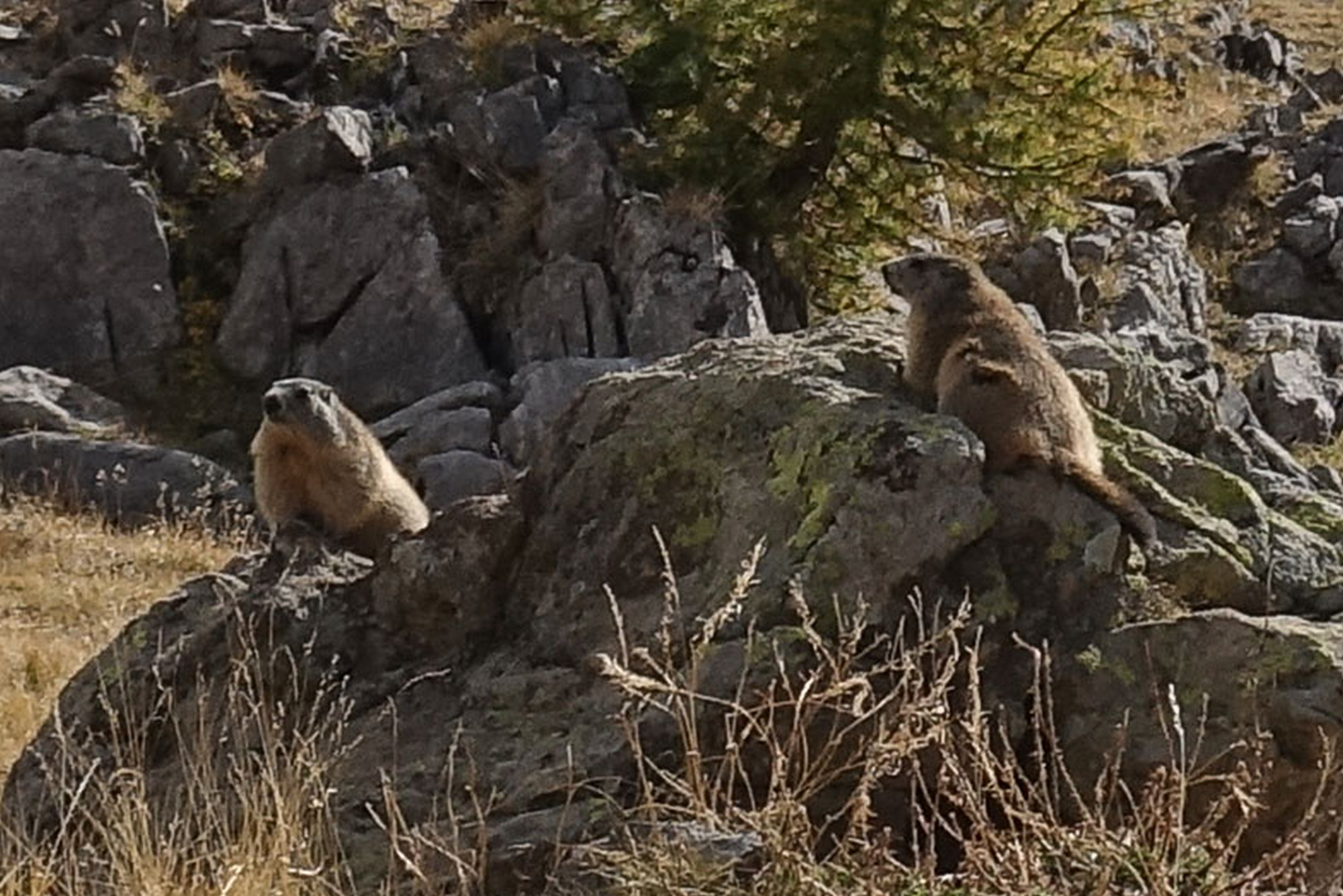
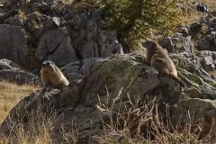
Shortly after the last report I spotted a couple of marmots playing (or posing) on a rock. Slightly out of comfortable range of my zoomed-in lens.
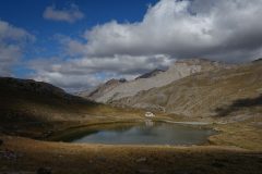
Ten minutes later came the lac des Eissaupres
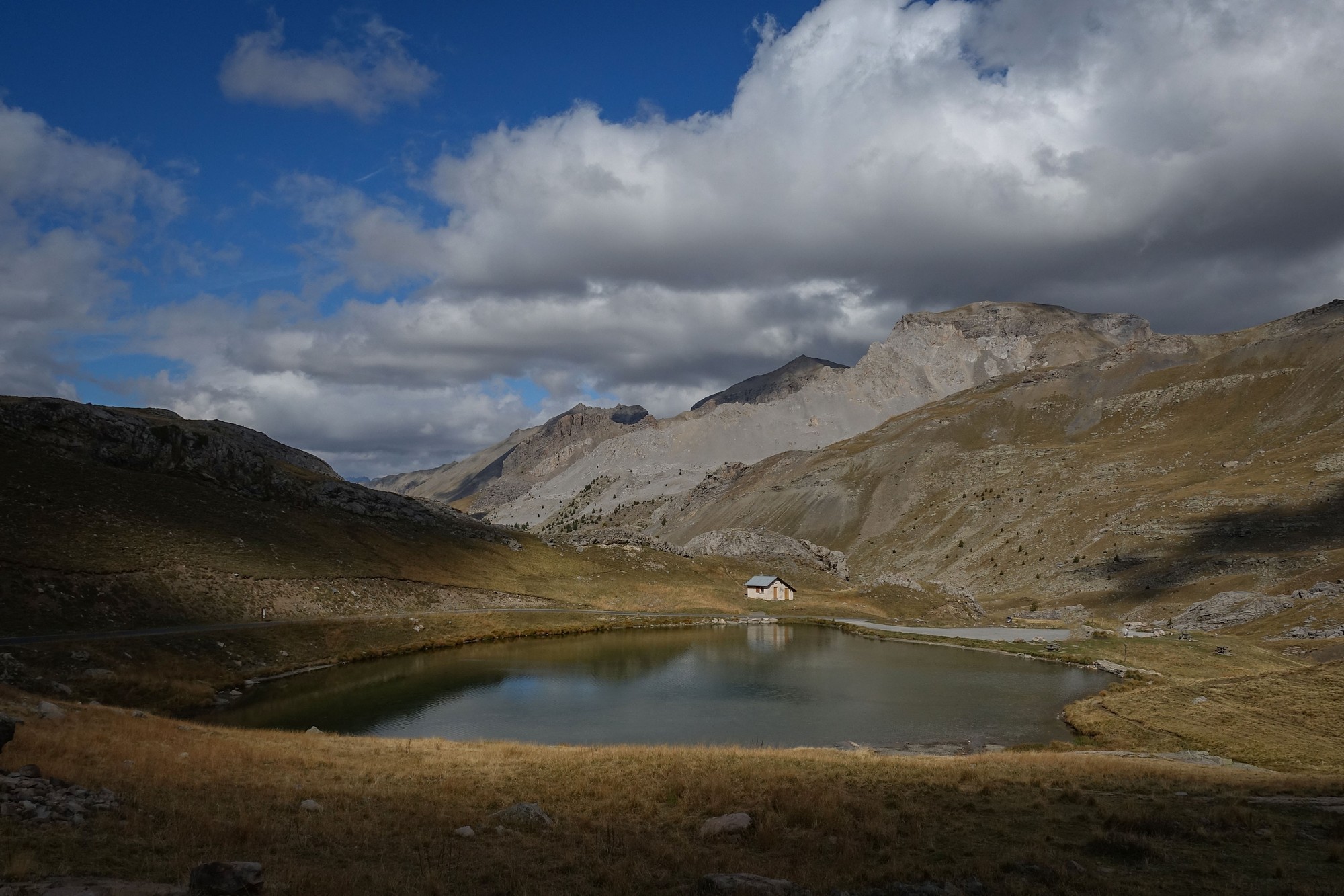
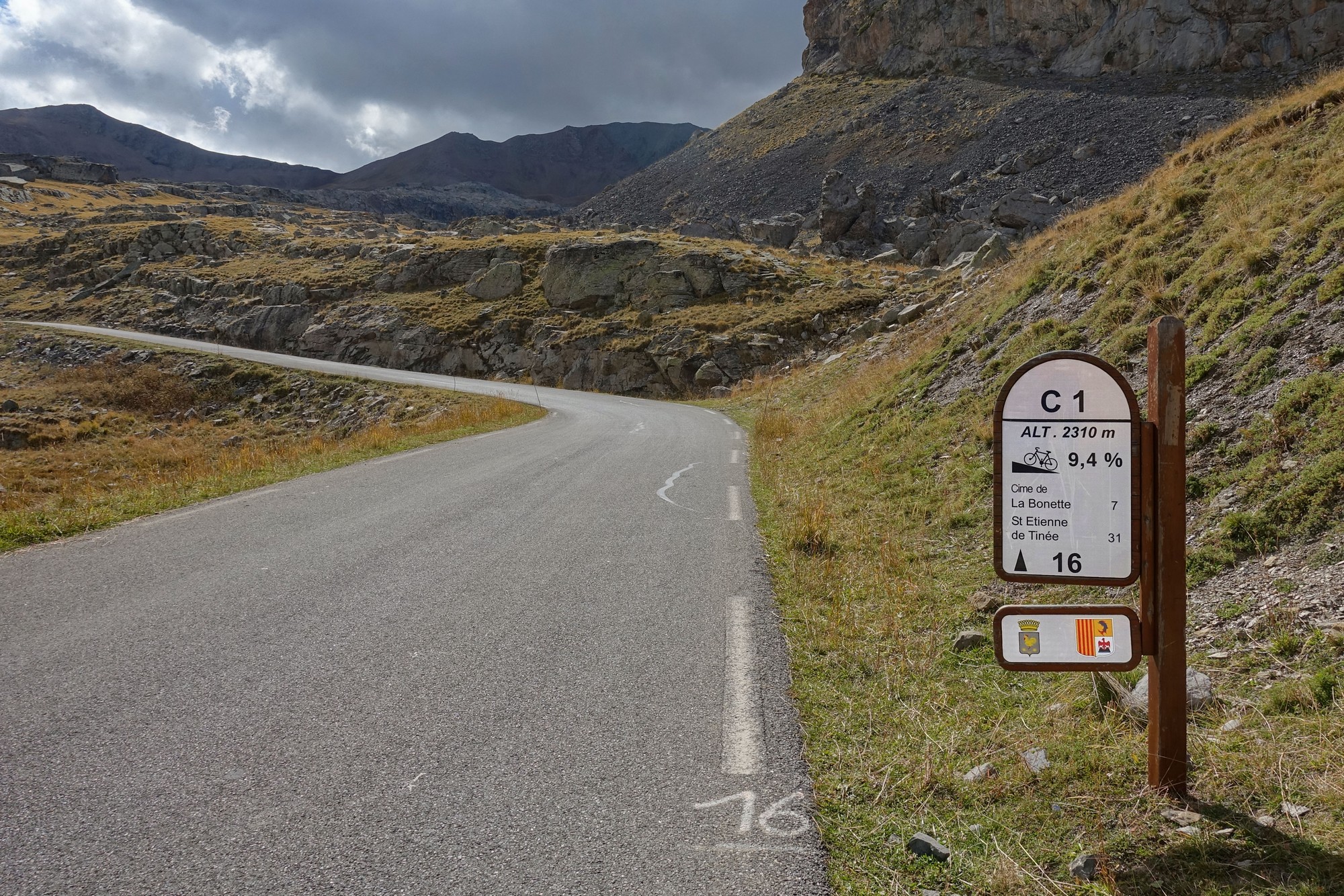
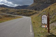
[Sad bastard that I am, I decided to check the accuracy of that sign in the photo above. As I suspected, the average gradient over the following km is only 6%. Also, the distance to the Cime is questionable as it is actually 7.6km, but I’ll let them off that one. But the howler is the elevation. The actual elevation of that sign is around 2340 (in fact the lake is at 2335 according to this, which corresponds to map contour lines). And then I realised that, assuming the gradient sign following this one showed the correct elevation, that would account for the inflated gradient of 9.4%. They (the unseen road sign calculating people) would have thought the elevation increased by 94 m over the following km (hence 9.4%), but if you reduced this by 30 m (their elevation error), then the calculation would give you just over 6%, which is a lot nearer the mark.
Told you I’m sad…
Moral of the story – don’t trust everything you read]
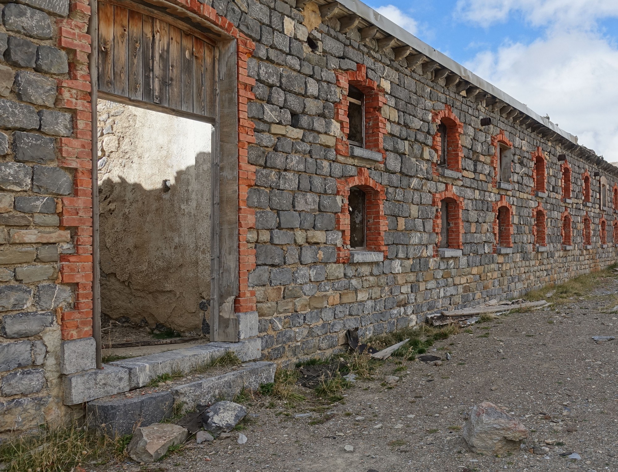
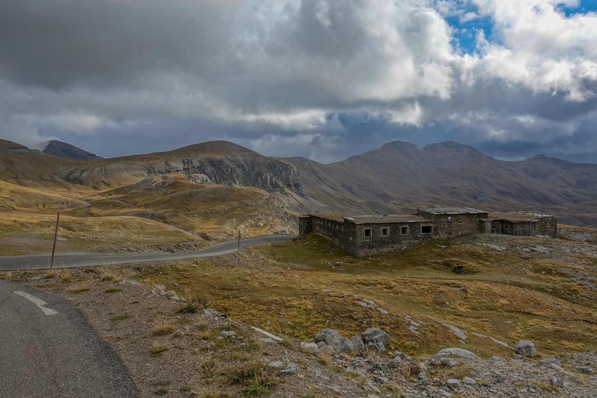
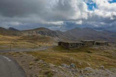
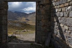
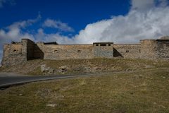
Two miles after the lake comes the Fortin de Restefond, military barracks used during the construction of the Maginot line.
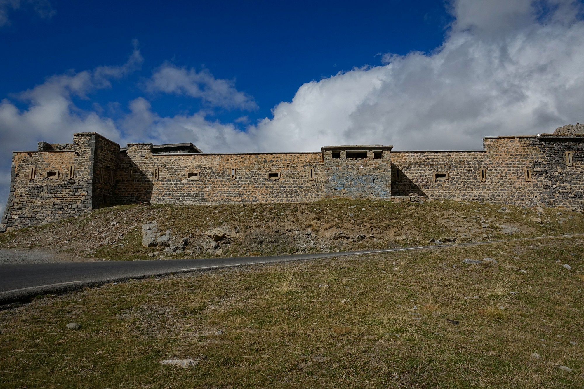
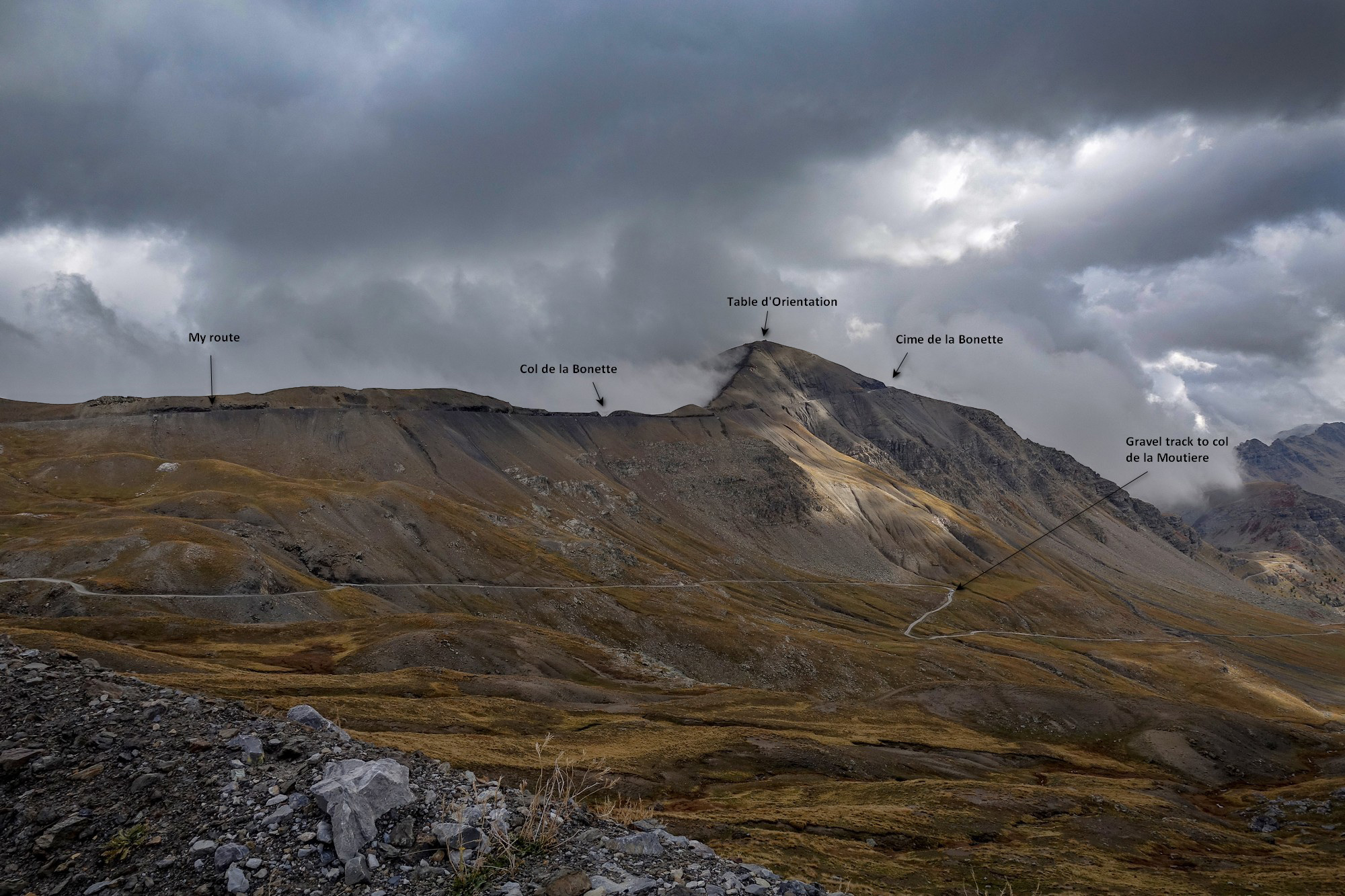
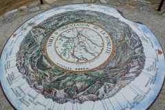
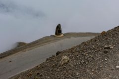
I had a look around inside the fort/barracks. From there I could see the Cime de la Bonette, with the table d’orientation on top, but not the col itself.
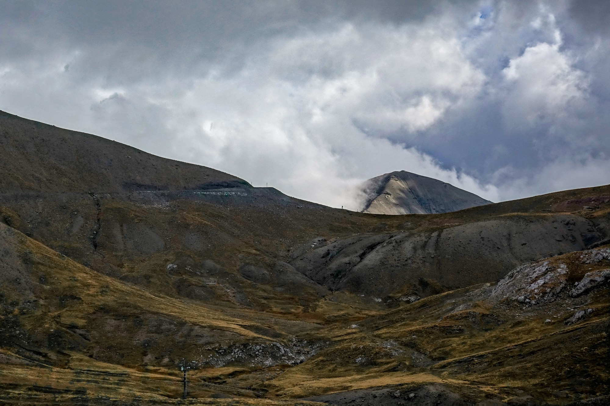
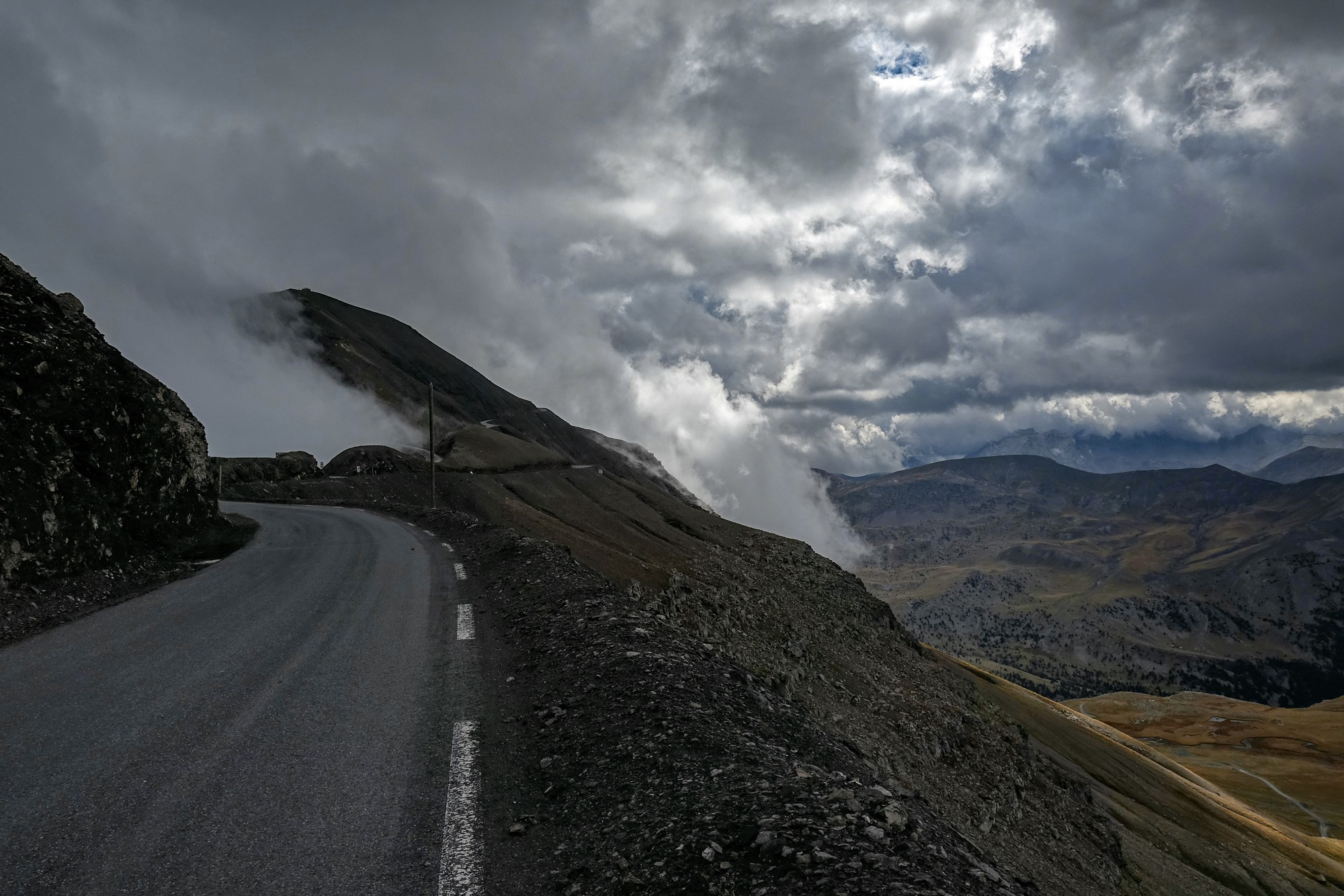
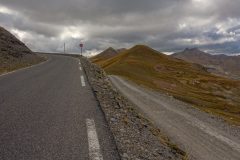
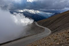
When the col came into view the rest of the road to it was a very easy gradient, which was a welcome relief. The bad news was that the peak was covered in cloud and I thought that would ruin my views and the photos I might take from up there.
When I got to the col I saw that there was still no col sign there, so I just rode straight through the col and onto the loop part.
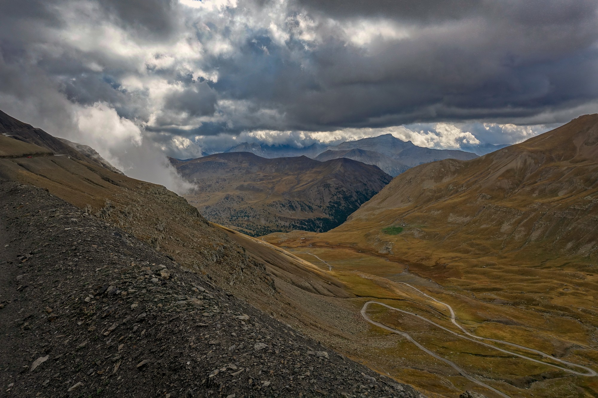
My original plan for today was to ride up the steep side, which is one of the main reasons I used my GT grade today (for the lower gears). But when I got there, that was the side that was covered in cloud so I had a good excuse to go up the easier side. I really wanted to do that side in one go but it seemed to go on longer than I’d remembered. Every bend I came round I thought that might be the top around that next bend but it wasn’t and after a couple of these disappointments I gave up and stopped. Heaven knows how steep it is. It must be significantly more than 10% although the other side is supposed to be 15%. Anyway I started again after getting my breath back and made it to the top.
[Note: Using the RWGPS map above gives an average gradient over most of this bit (excluding the flatter bits at top and bottom) of 11.2%, with steeper sections in there. That, and the altitude, is my excuse!]
There was a handful of motorbikers up there, a couple of cars, and one other cyclist. By the time I got there I was absolutely freezing cold. I got my col photo.
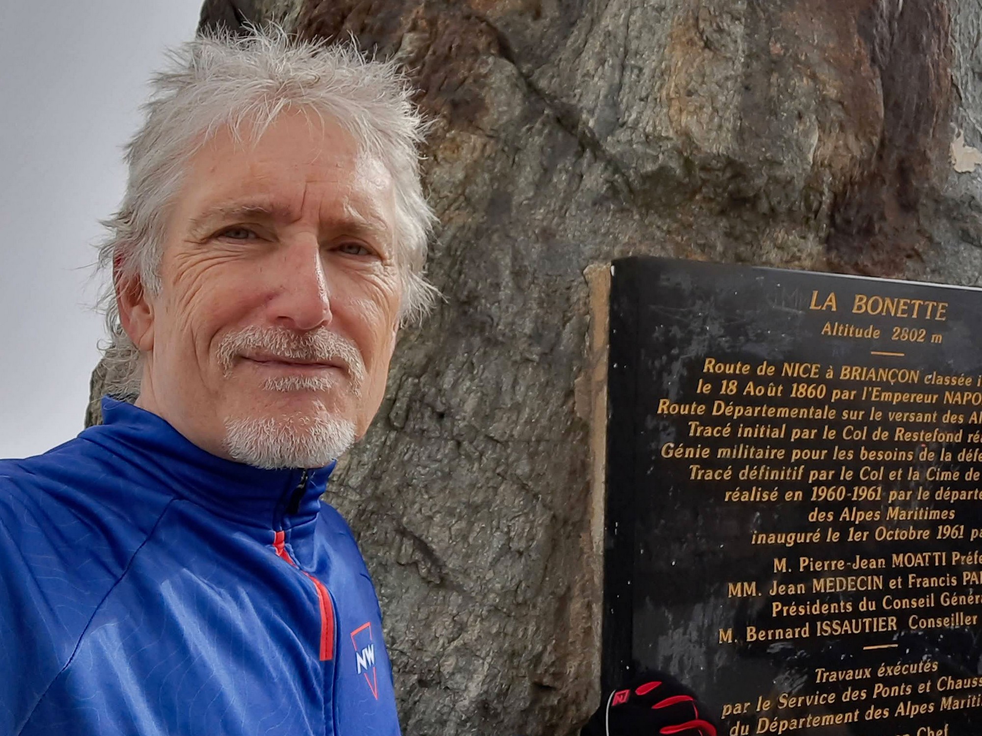
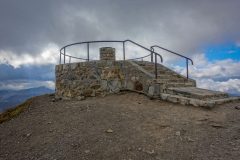
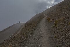
Then I offered another couple if they wanted me to take their photo and I did. Then I left my bike and walked up to the table d’orientation, which I hadn’t done the last time I was here. I didn’t know what I would be able to see because of all the clouds around, but I’d promised myself I would do it, so do it I did.
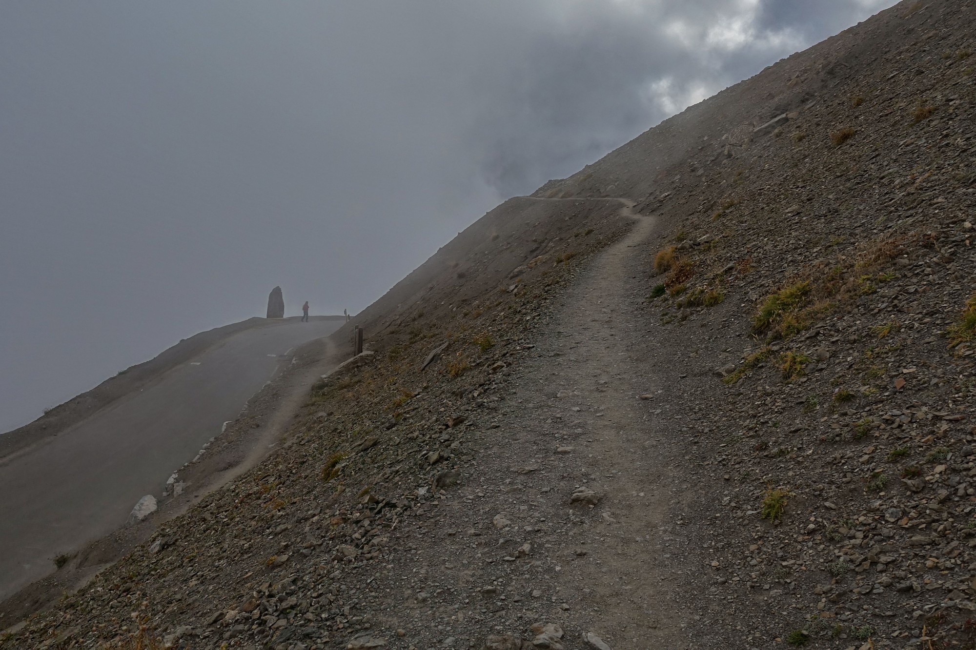
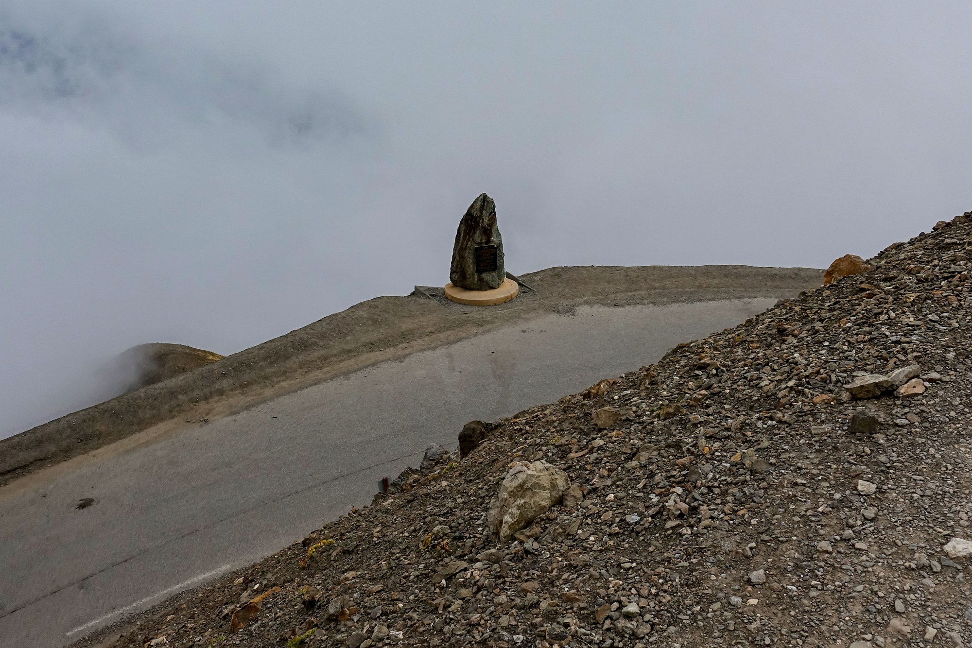
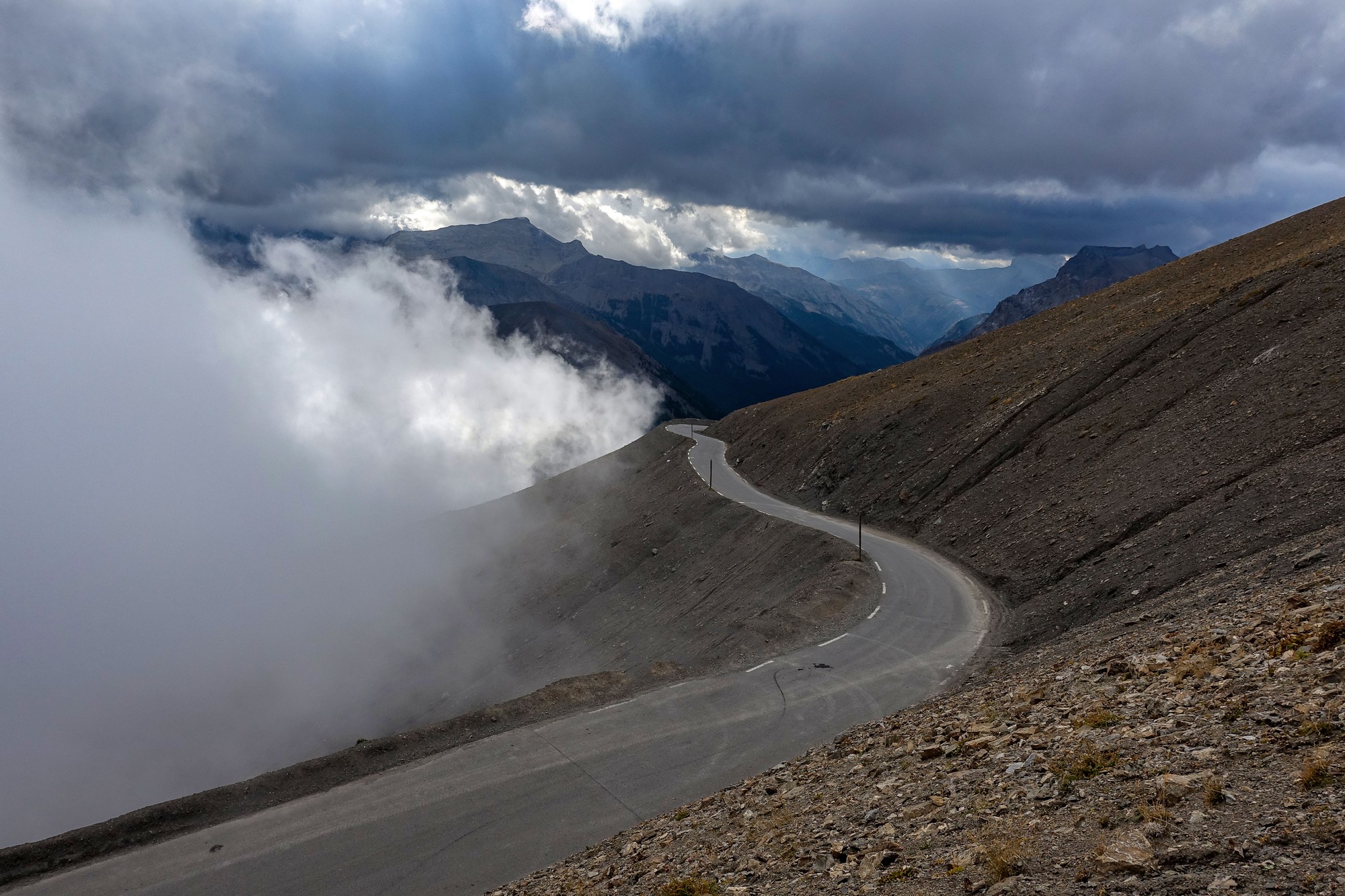
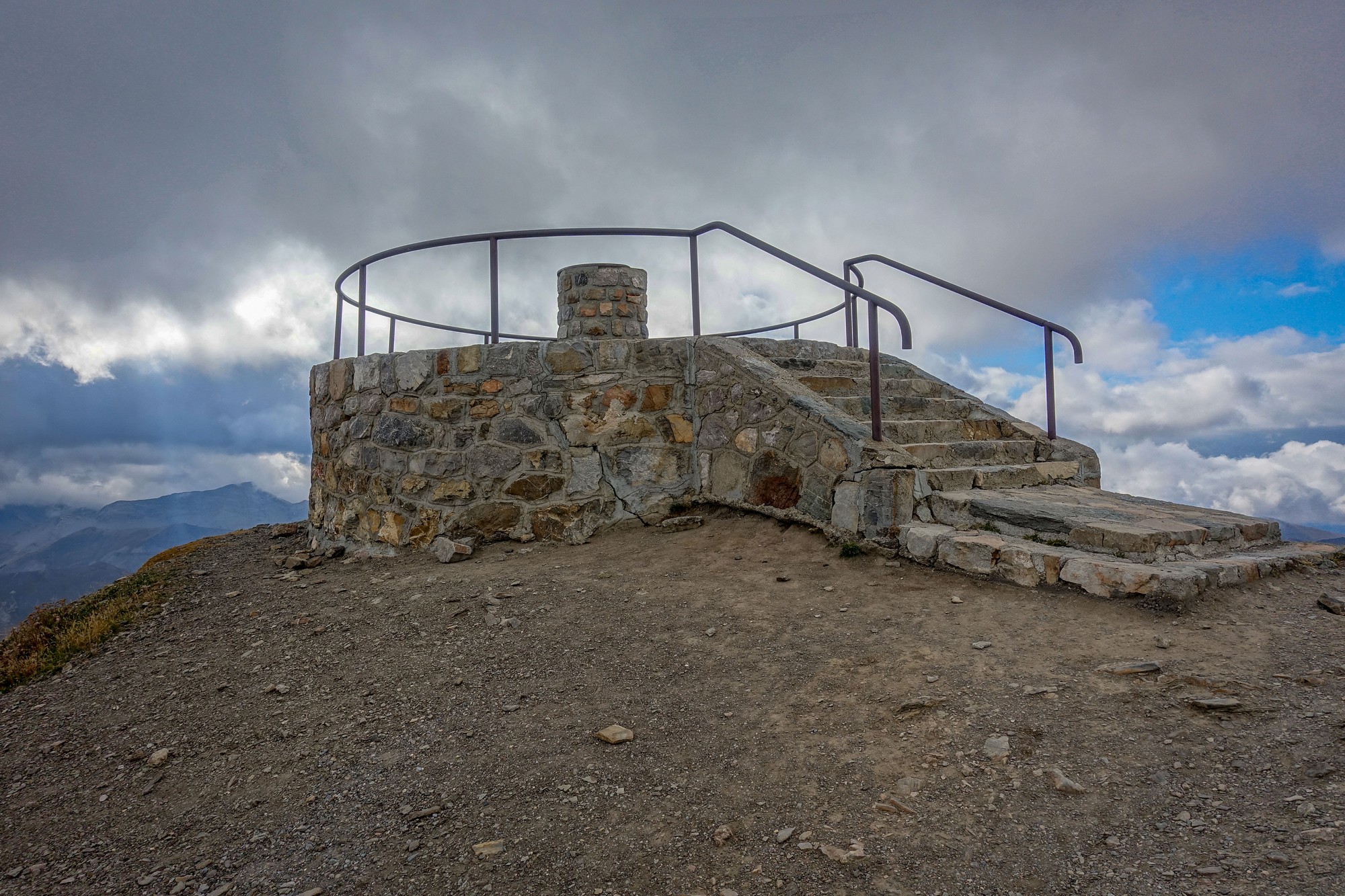
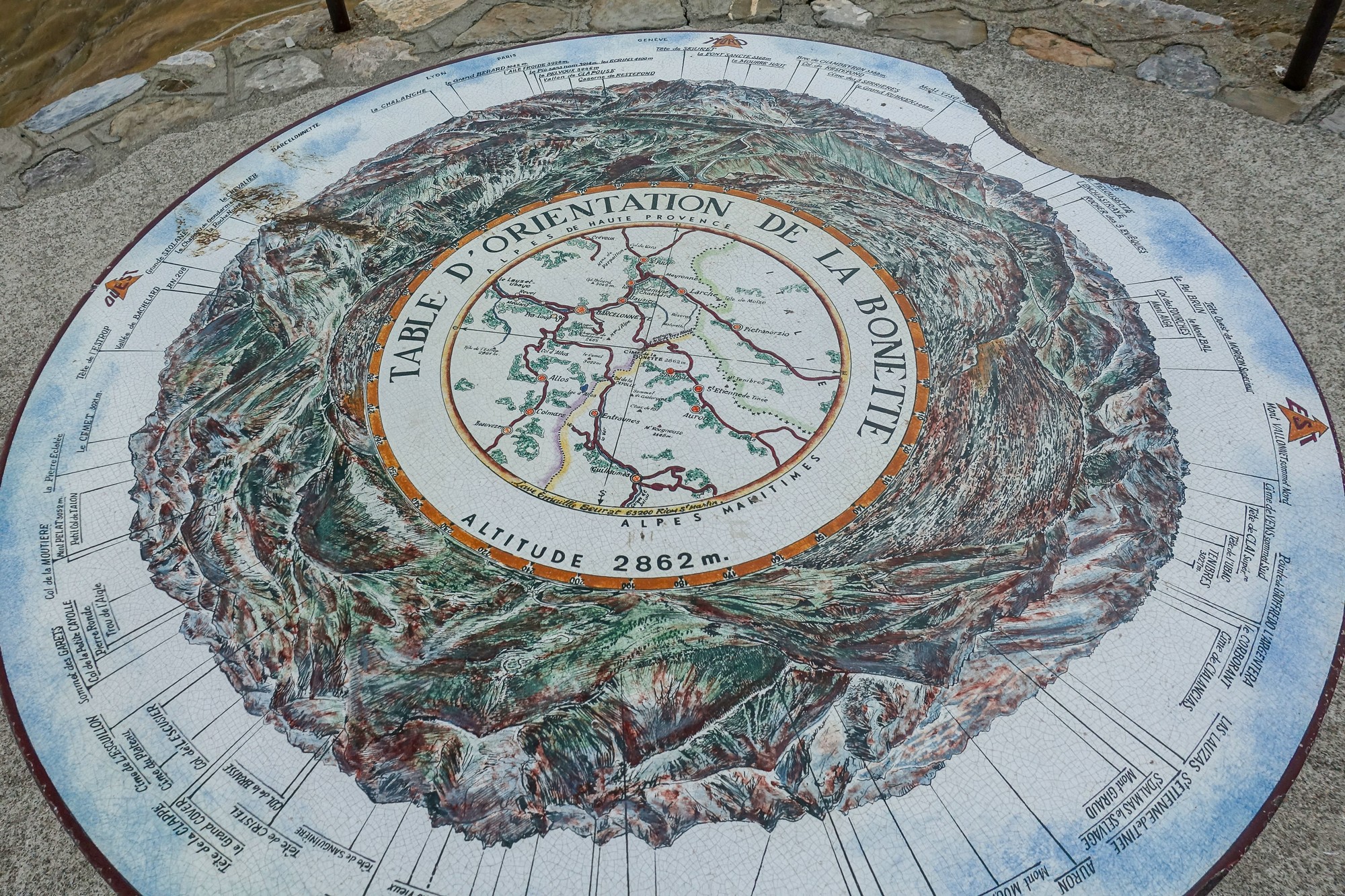
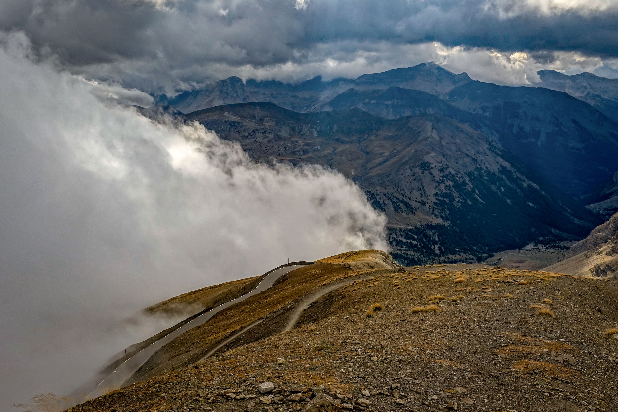
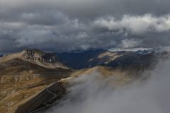
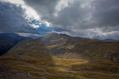
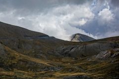
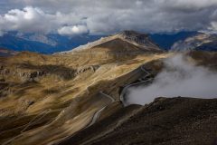
Even though there were clouds around I’ve got some interesting photos. In fact to be honest the clouds made everything look rather dramatic, so I should be grateful for them really.
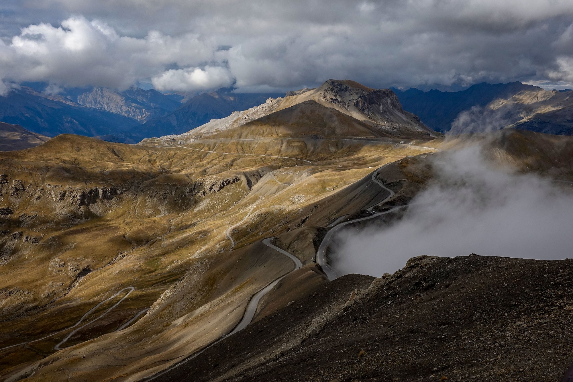
I was quite convinced that walking up to the table d’orientation in my cycling shoes on the gravel path, which seems to go on forever, would wreck my cleats. But when I got back on my bike later they seem to have survived the ordeal.
Another motorbiker asked me to take his photo against the the monument so I obliged again. I put my rain jacket on to keep warm and stood there eating my HDM sandwich. Then I started the descent down the other (steeper?) side of the loop.
The clouds drifted across and then cleared now and then
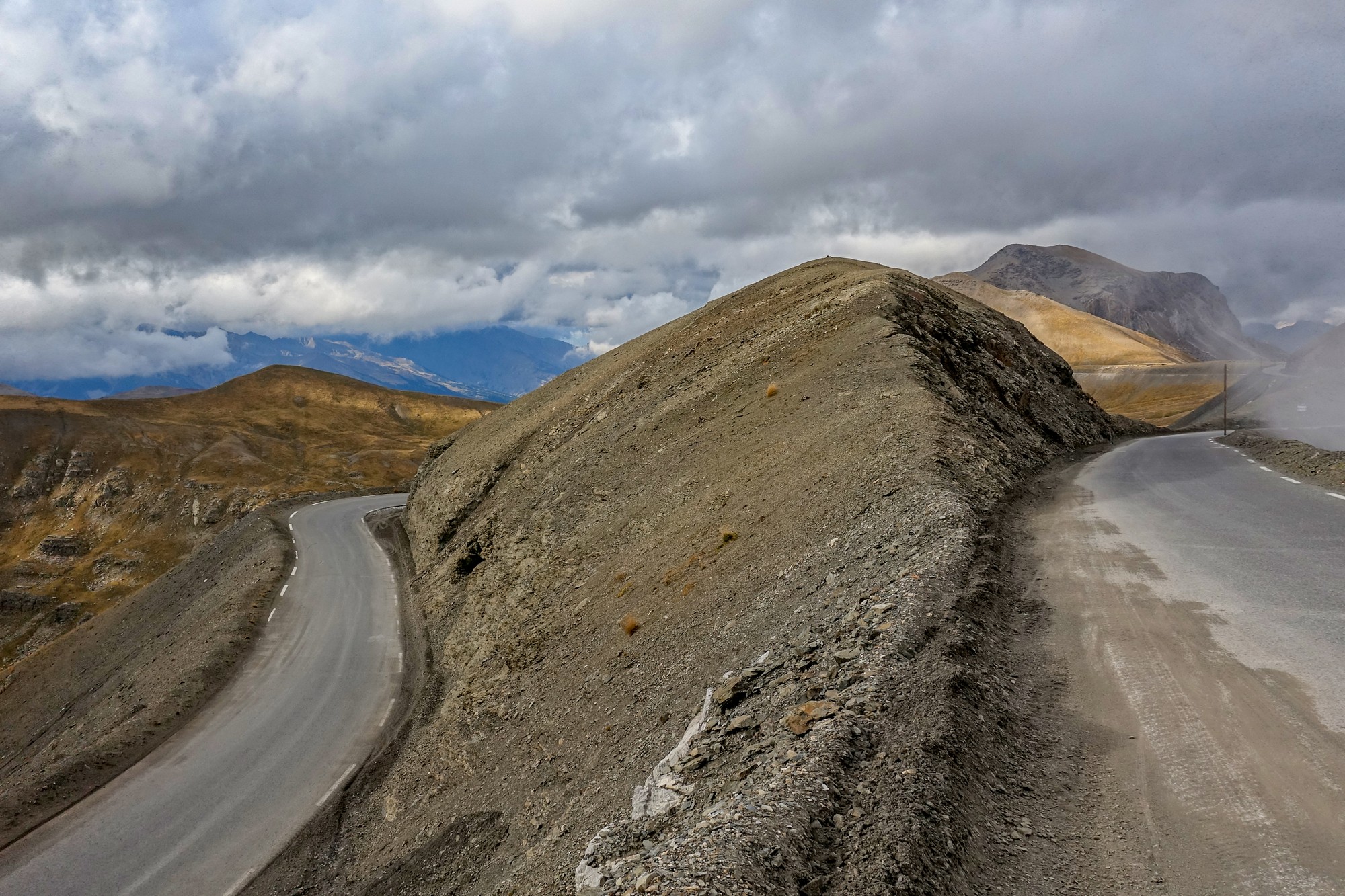
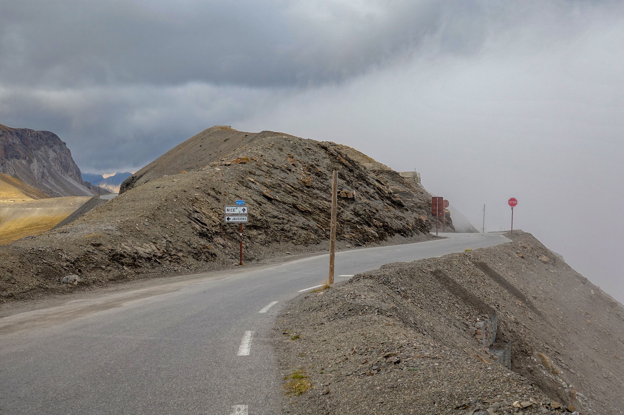
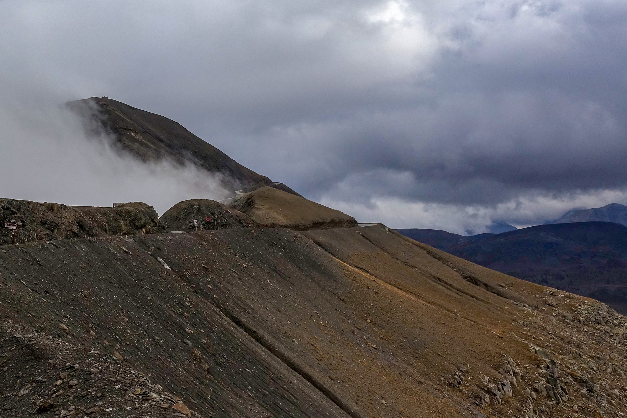
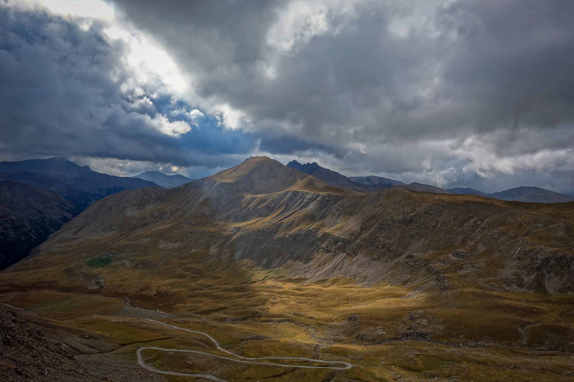
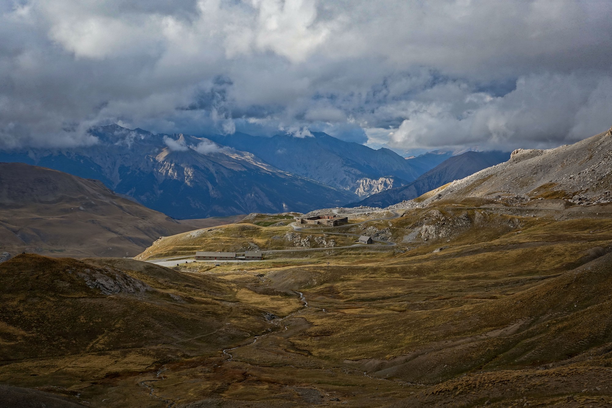
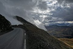
I’ve come to realise lately that it’s only on the descent when the true beauty of the climb reveals itself. Accordingly there were many times I had to stop to get photos. I was extremely cold. I couldn’t feel my feet, my hands or my nose.
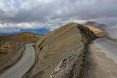
On the way up to the col from Jausiers I had thought that it wasn’t as interesting as on the other side, climbing from Saint-Étienne-de-Tinée, but on the descent I had to elevate its status to at least equal that of the other side. In fact it was a spectacular descent. You could say that it’s in two stages. There’s the very wild part with just the rocky lunar landscape and then suddenly you come into an area of forest and green, and it feels like you’ve come down from the moon and landed back on earth. The fairly easy gradients and sweeping bends made for a very fast and exciting downhill ride.
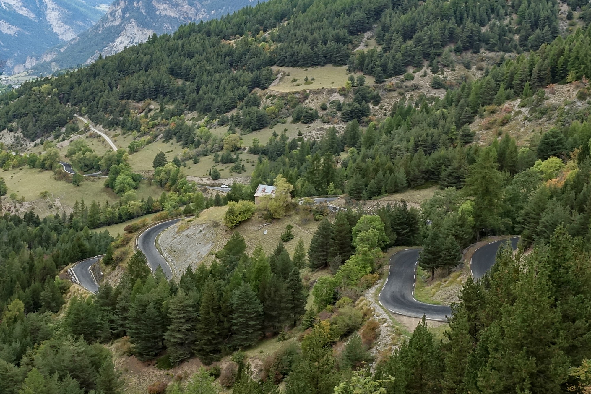
I kept recalling how warm I’d been on the descent from Mont Ventoux – and that was with shorts on! On this one I was teeth-chatteringly cold. Which does take some of the fun away.
By the time I got to the Ubaye valley road the skies were nearly all cloudy but there were some amazing sun beams where the sun was struggling to squeeze through.
It was one of those rides that was so mind-blowingly awesome that I got back feeling very good. Certainly I rate both of the Bonette climbs among the best rides I’ve ever done.
Rides like that, which have stimulated your body and mind so much, seem to have the effect of slowing down time. As I rode back through Jausiers at the foot of the descent, it felt like I hadn’t been there for a couple of days, but it had only been a couple of hours!
So I have ticked-off both the road climbs up to Cime de la Bonette. All I have left to do is the part-gravel route via Col de la Moutière and then I’ll have the complete set!
Fuel
More Info
- Fortin du Restefond (in French – right-click to translate)
- Col de Restefond
- The Alpine Line or Little Maginot Line
Gallery
Click to enlarge / see slideshow


