Distance: 31.1 miles. Elevation: 5395 ft.
Col de la Moutière | Faux Col de Restefond | Col de la Bonette | Col des Granges Communes
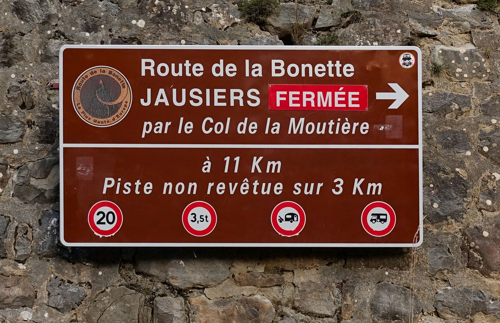
When I first arrived, breathless, at the Col de la Bonette, two years ago, I stood there looking down at the view to the west and saw a gravel track weaving its way enticingly along the valley below. I later discovered that it led to Col de la Moutière, and that from there you could get back down to Saint-Étienne-de-Tinée by good old tarmac. So I planned a climb to Col de la Bonette using that road and added it to my list of rides to do ‘one day’.
Since then, last year I climbed to the Cime de la Bonette from Jausiers in the north using the other ‘normal’ route up there purely by road.. Today it was time to try out the third and final way up there using that gravel track I’d looked down on in 2021. [There are other ways of getting up there by mountain bike, but there are only three mainly tarmac routes.]
Firstly I just want to get it out there that I’m completely gutted that I didn’t do this ride yesterday when the temperature was mid 20’s with not a cloud in the sky. It would have been amazing. As you can see from the photos, there wasn’t much in the way of sun today. I used to say “It’s not about the bike, it’s about the ride”. Well I might change that to “It’s not about the bike or the ride, it’s about the weather!” It can make so much difference to my enjoyment of a ride. Anyway….
The forecast for today was cloudy but with some sun possible earlier in the day. So I left earlier than I normally would, at just after 9 AM. It was cold, 7ºC according to the Wahoo data. I wore a long sleeve roubaix top, snood, cap, long-fingered gloves (first time this trip), thermal socks and my rain jacket. But I still wore only shorts. I also wore my ‘civy’ shoes because of the gravel section. [These cycling shoes are more like normal trainers and have the SPD cleat recessed into the sole of the shoe so you can walk about fairly normally without damaging the cleat.]
The first three miles is along the same road as the usual Col de la Bonette route from Saint-Étienne-de-Tinée, rising at around 5%. Just over the bridge is where today’s route diverges from it. I turned left towards St Dalmas le Selvage.
The road follows a tributary of the Tinée along le Vallon de Saint-Dalmas, at the same gradient for another 2 miles
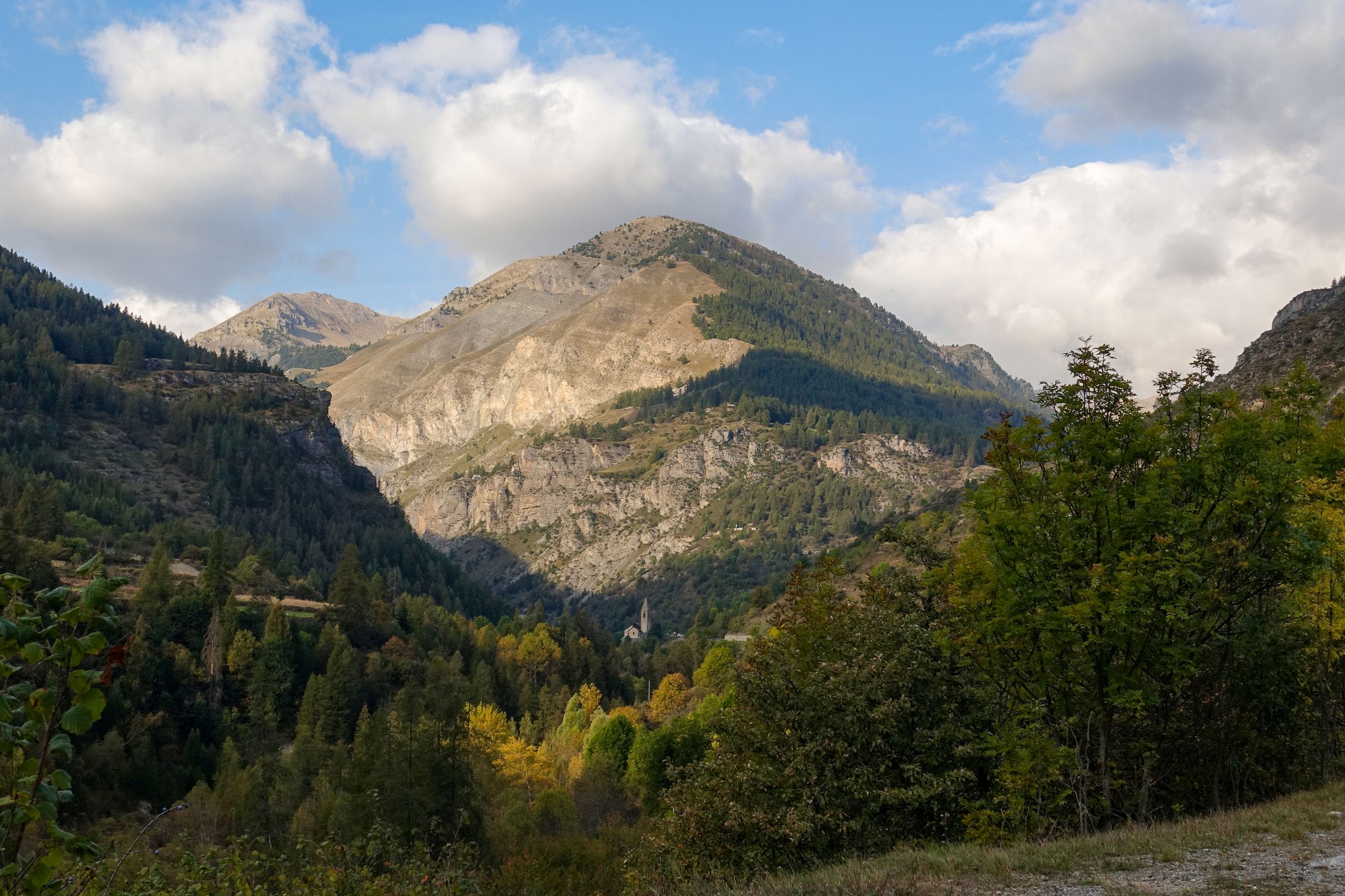
As I approached Saint-Dalmas, the church tower caught the rays of the low October morning sunshine, rendering it in sharp contrast against the shaded valley. It was a striking image and I stopped to get a photo, but the sun went in! So I waited there four or five minutes (literally) for a break in the clouds!
Through the village of Saint-Dalmas and over a small bridge, the road surface quality abruptly declines. It’s still good, but with many (well-made) repairs. The gradient ramps up with an average of 9% over the next seven miles to Col de la Moutière.
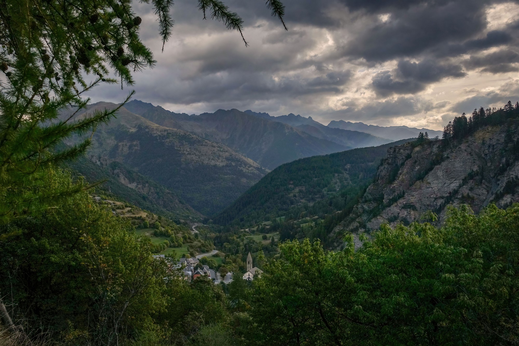
The road climbs through forest at first via a series of switchbacks, only 7.5% for these first couple of miles. I’m soon looking back down at Saint-Dalmas-le-Selvage.
A while later, the church now out of sight, I heard the distant bells chime ten o’clock, reminding me of the early start I’d had today.
There was no traffic. Occasionally I would see a car parked in a clearing, the owners presumably walking in the forest. Three motorcyclists came down past me. Each of them waved ‘bonjour’.
I stopped during a rare glimpse of sunshine on the road ahead.
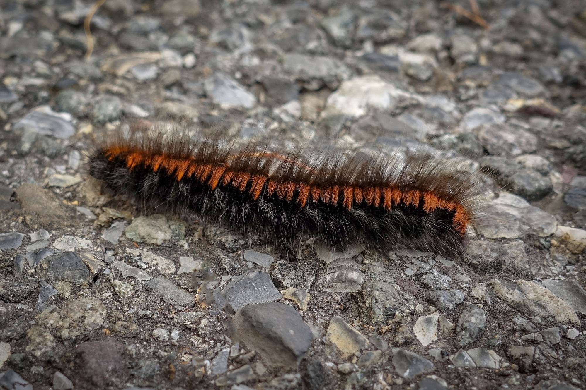
I removed my rain jacket and switched from gloves to mitts. My sleeves were wet from sweat. The effort had warmed me up, even though the air temperature was only 10°C. I had an energy gel and, after taking a photo of a caterpillar, set off again.
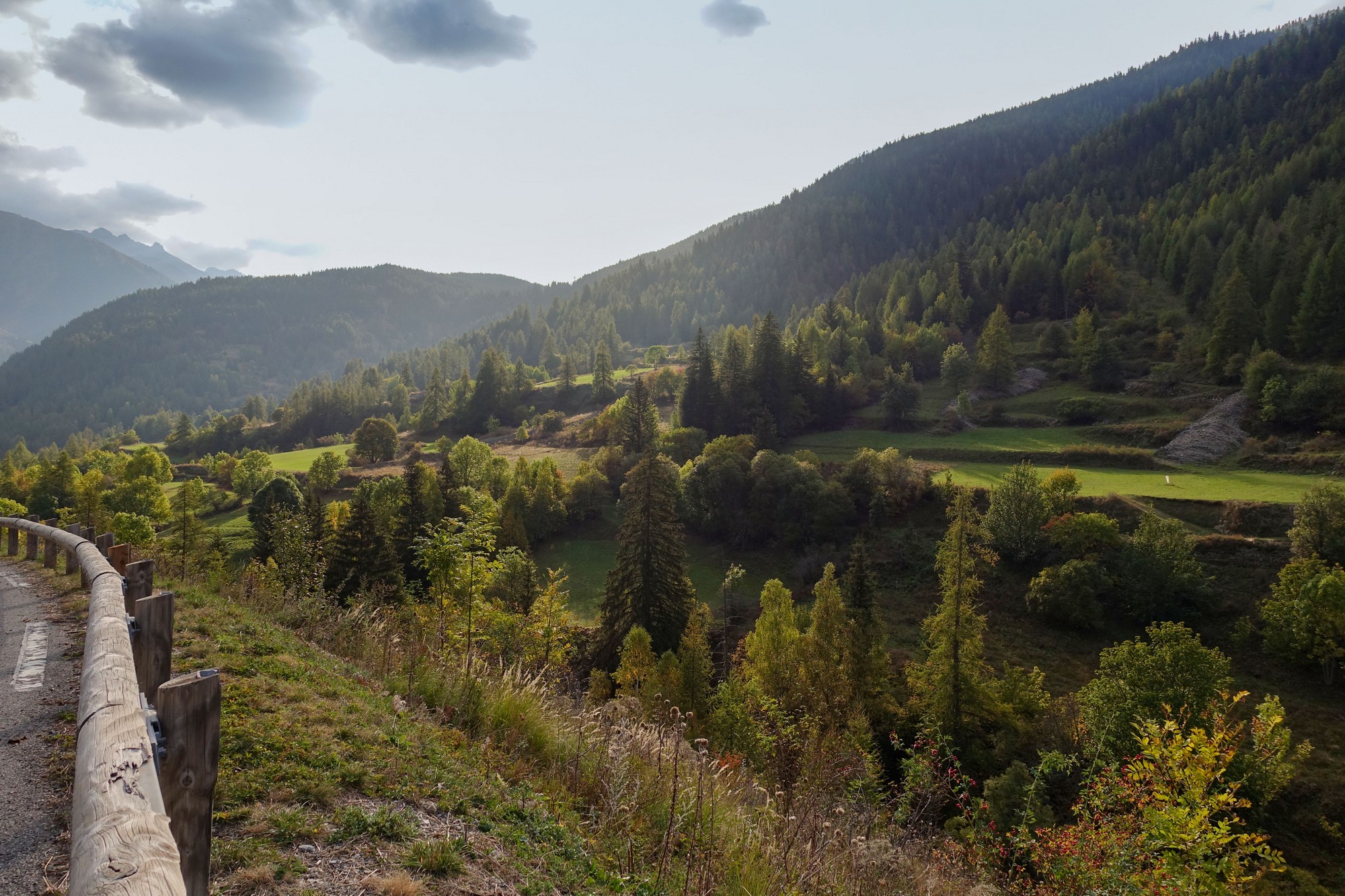
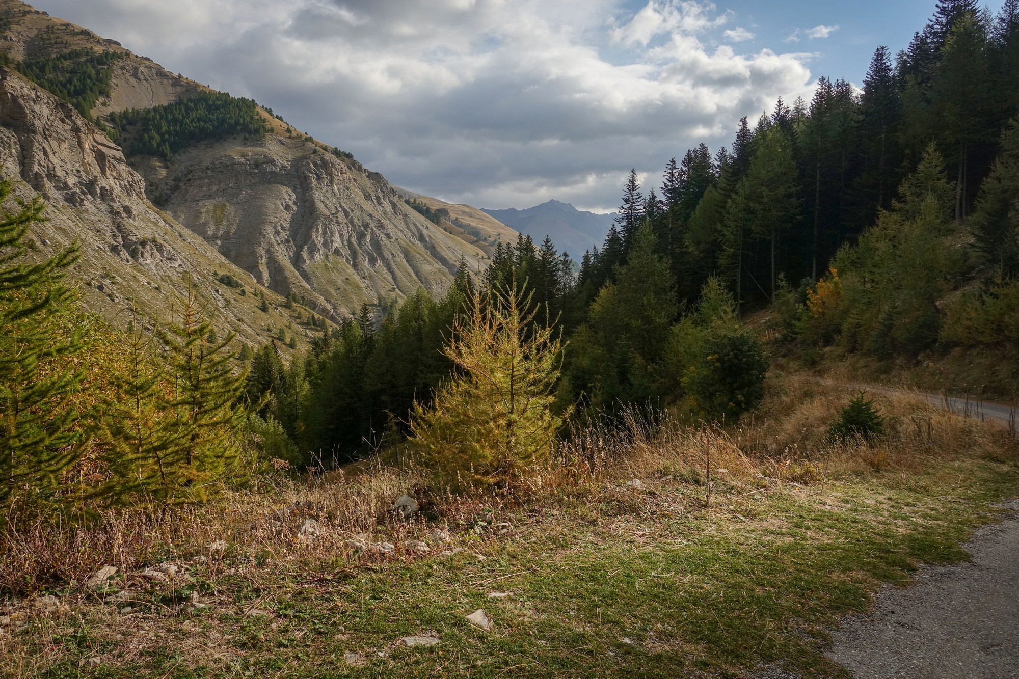
The forest starts to thin out as the altitude increases. Trees stand more widely-spaced among rock-strewn pasture.
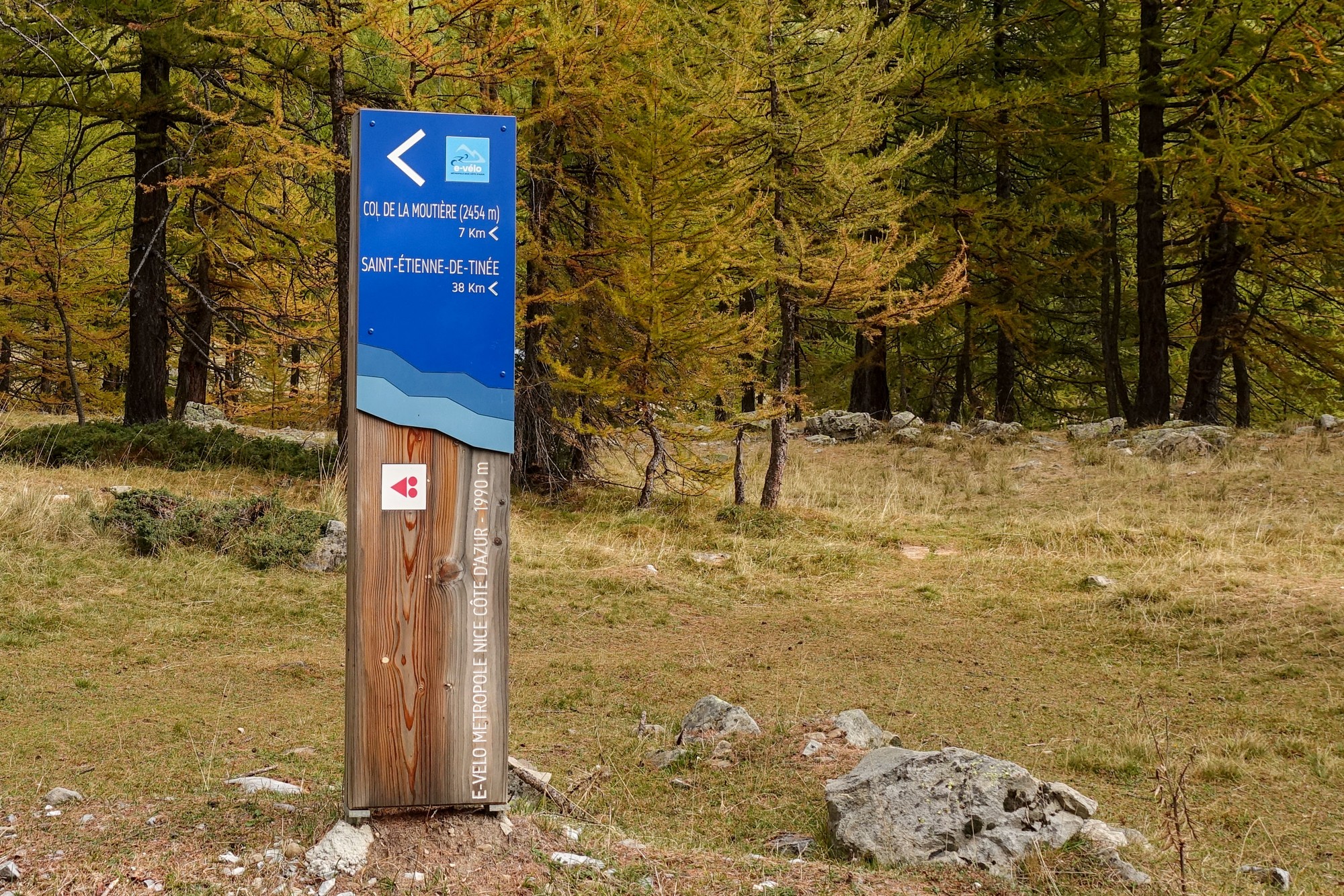
There’s lots of information for visitors/ramblers. This is the Mercantour National Park and to preserve the ecosystem many activities are prohibited.
No dogs, even on a lead. No cars and no cycling (except on roads, obvs). No fires, camping, etc. Bivouacing is allowed only if you are more than an hour’s walk from the park limits or access road.
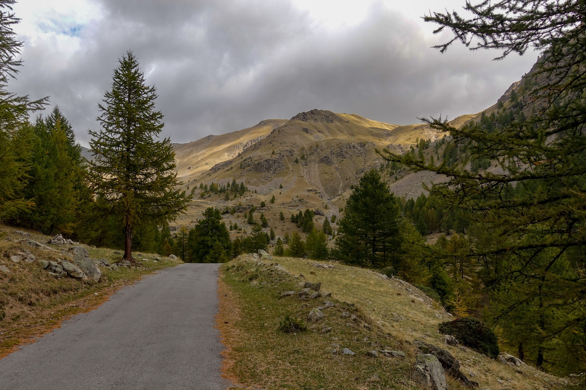
Around one bend I saw a peak ahead and wondered if that was la Cime de la Bonette, the ultimate destination of today’s ride.
Just before and after I’d stopped, there was a load of fine stuff in the air, being blown about by the wind. It looked like snow, but obviously wasn’t. In fact I think it was orange bits being blown off the conifer trees – the same stuff that collects at the roadside. After setting off, some of it blew into my mouth – much spitting out ensued!
After that short downhill the gradient kicked up significantly for a very steep section, at the top of which I took a break and did a report.
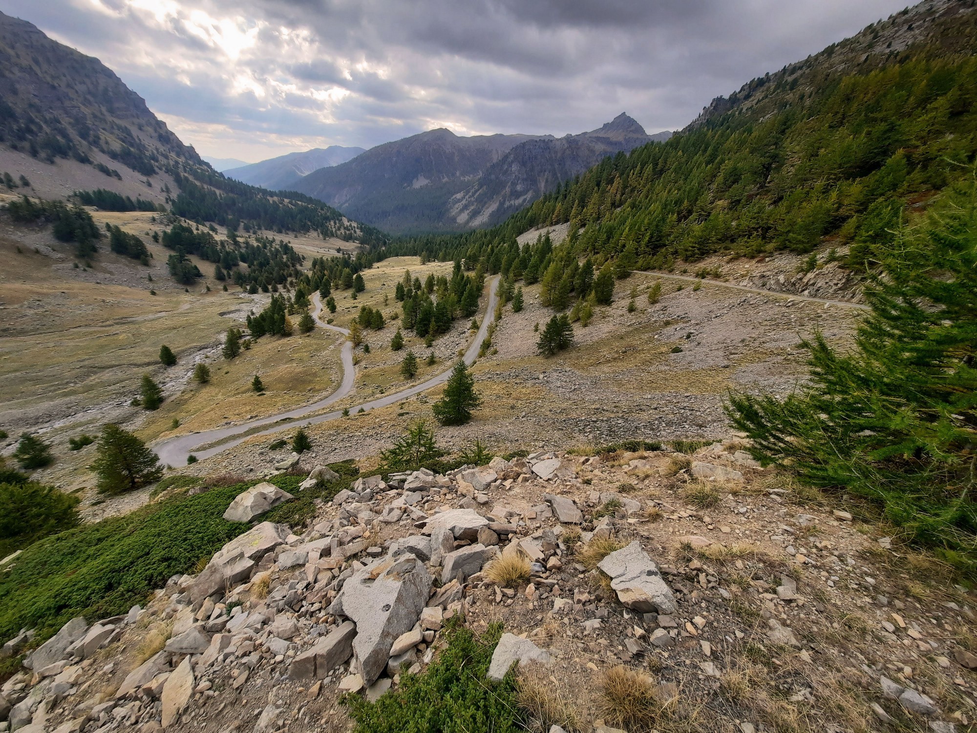
Bits of that last section were 15-18%. The wind has picked up and now presents as a gusty headwind. There’s no phone signal here so I had to type into my phone. I’m getting a feeling in my head that I get at altitude so I’ll probably have a pain killer.
The difficulty with this route is that it is always up and down, so the average of 9% means there are loads of sections significantly steeper than that. As I stood, doing my report, another four motorbikers came by, this time heading for the col. This time only one out of the four waved ‘bonjour’.
Standing here I thought I could see a little dot on top of the mountain I suspected to be the Bonette, so I zoomed in with my camera and saw that it was the lookout point (table d’orientation) at the Cime de la Bonette, another 630 metres, or more than 2,000 feet, above me.
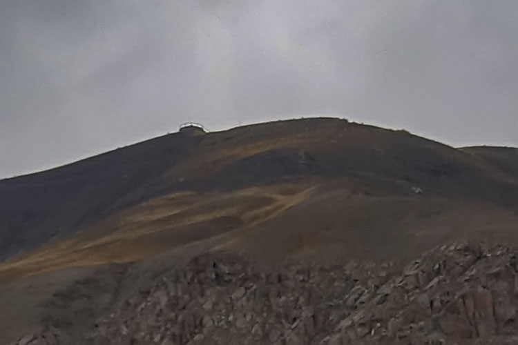
I had an energy gel before continuing my ride. I was now at over 2,200m and higher than the tree-line, so the view for rest of the ride was just rocks and rivers.
Col de la Moutière was another one and a half miles further on, but during that period the wind picked up to be a sometimes very strong headwind, which doesn’t help when you’re trying to climb 15% gradients and getting low on oxygen.
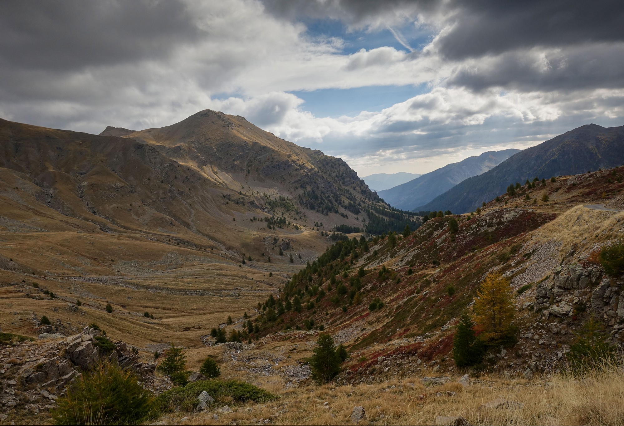
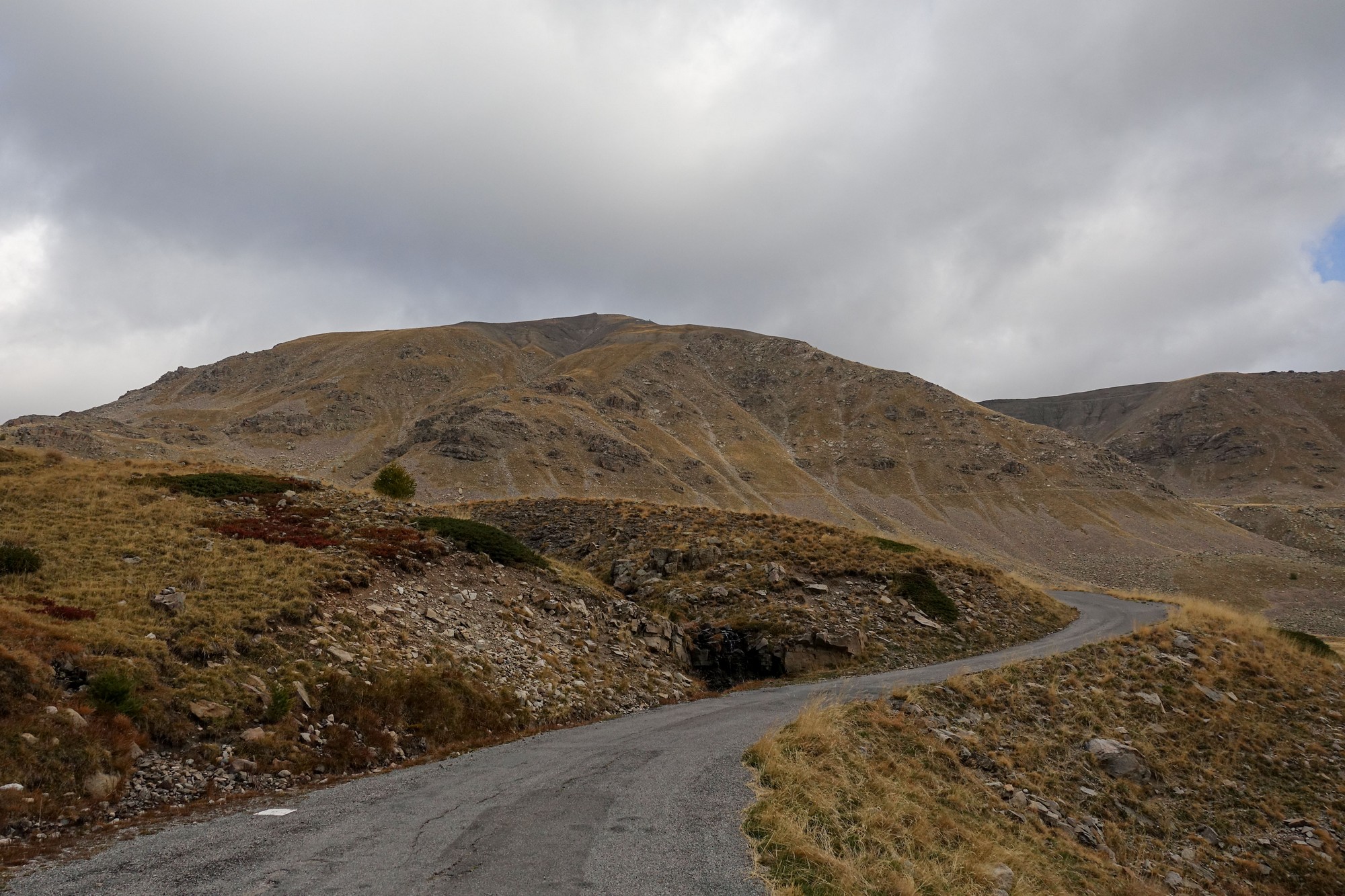
I couldn’t remember exactly where Col de la Moutière was. I didn’t see a col sign, nor expected to, so I didn’t stop anywhere for the usual photo. I did see a military bunker of some sort and I thought the road might pass it but in the end it didn’t and I just ignored it. Just after where I think the col probably is, the road worryingly descends. I noticed a track a long way down to the left and I hoped the road wasn’t going down as far as that. Luckily it didn’t.
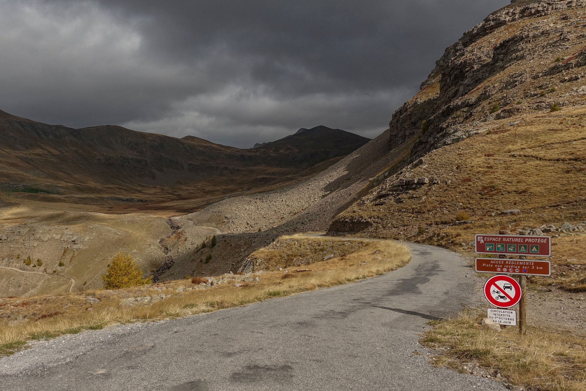
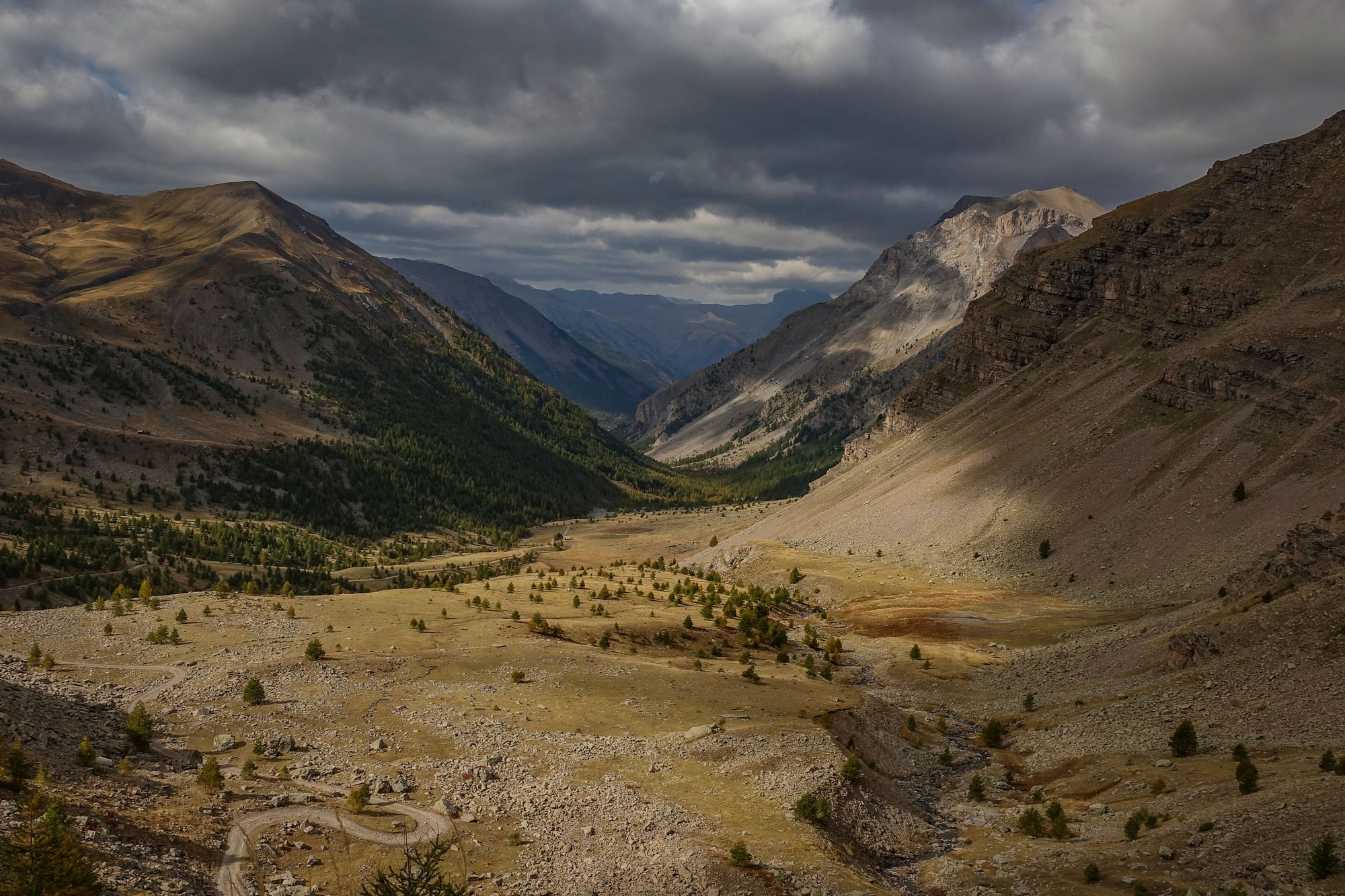
From the col the road dipped down for about half a mile, and reached the point at which the road turns to gravel. There was another track going off in a different direction and I thought I’d quickly look over the top to see if there were any amazing views but there wasn’t too much to be seen.
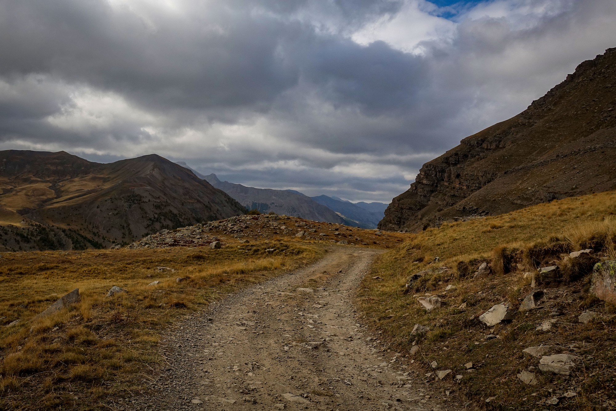
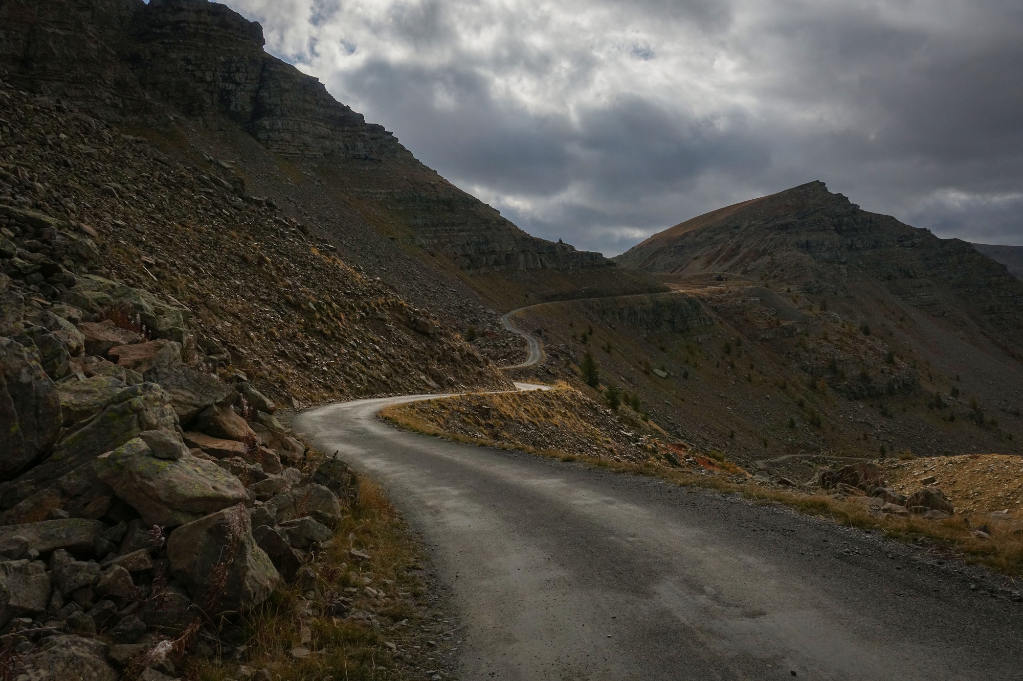
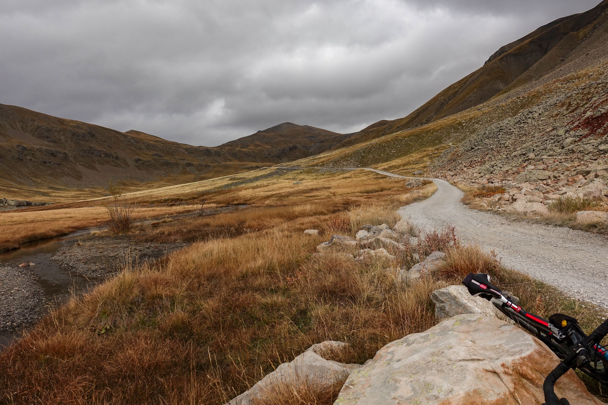
So I started on the gravel road section not knowing what lay ahead of me. I didn’t really know how steep it was and I couldn’t remember how long it was (Answer: 2 miles at > 8% avg, with 10% sections)
It started off quite smooth, with fine gravel, and that was easy to ride on. Some sections had larger stones and rocks which could often be avoided. I had to keep my eyes fixed on the path ahead to try and plan how I was going to navigate between all the boulders and ruts, and depending how you get on, sometimes you have to make last minute decisions, and that can result in either wheel slip or in one case I nearly veered off into the edge. So I stopped several times for that reason but in general it was actually quite okay to ride. There were other parts made up of blocks of stones and all sorts of other bits and pieces I had to navigate across.
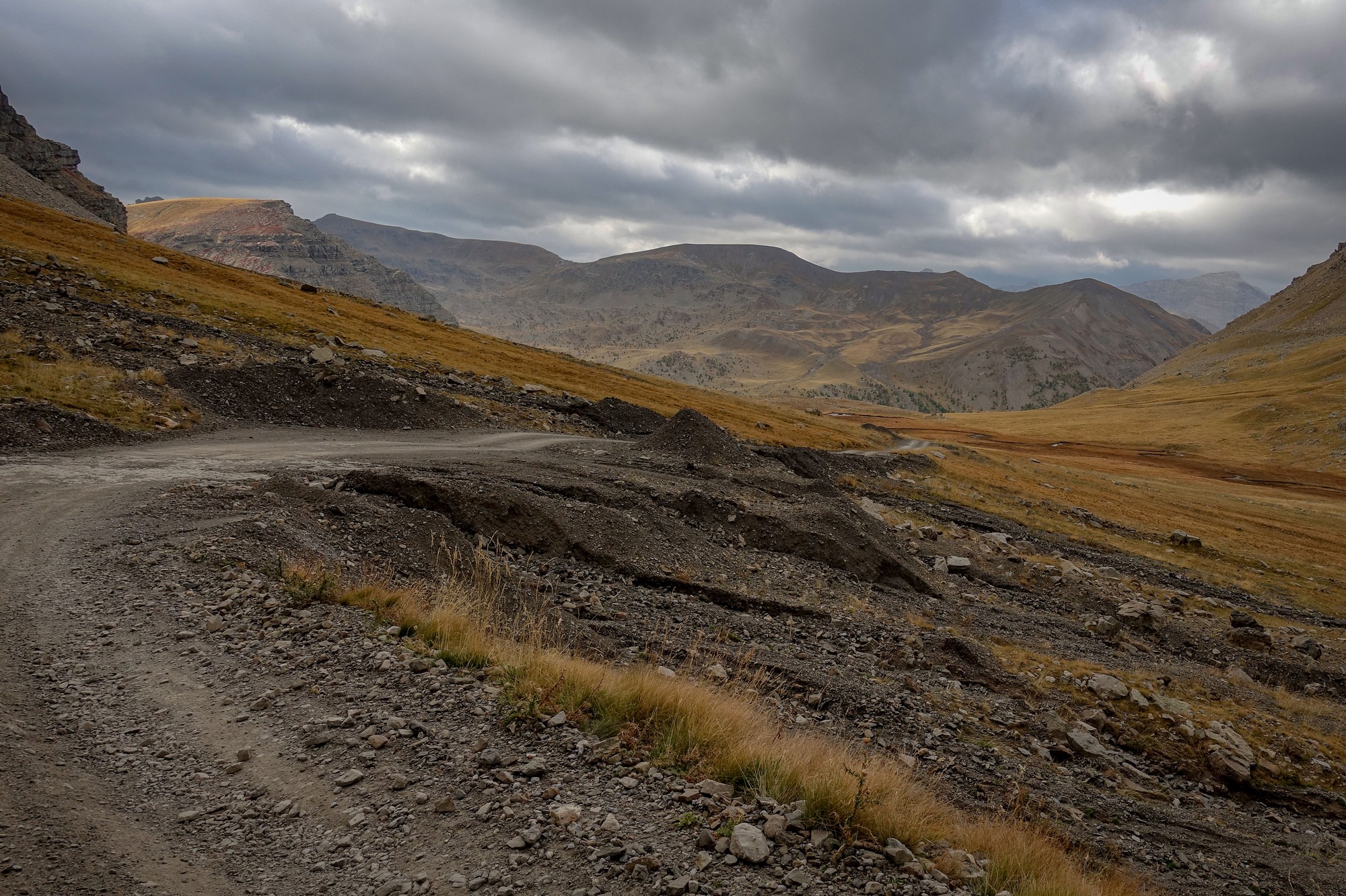
Because of the concentration required navigating between all the boulders I couldn’t necessarily get a good look at the landscape around me as much as I normally would.
At one point I realised I could see the main Jausiers-Bonette road, and I could even hear cars up there. That gave me a good indication of how close I was getting.
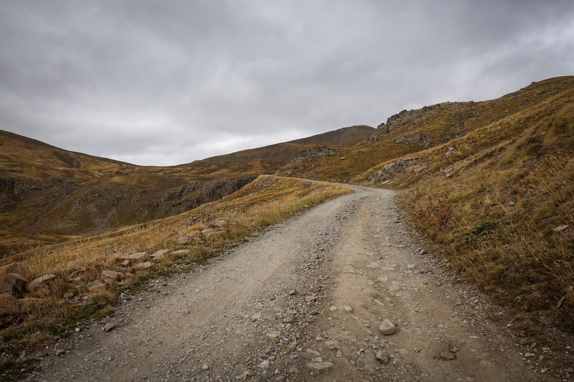
On that gravel section I didn’t see a soul; not a cyclist, motorcyclist or anybody. Needless to say it was very quiet and peaceful.
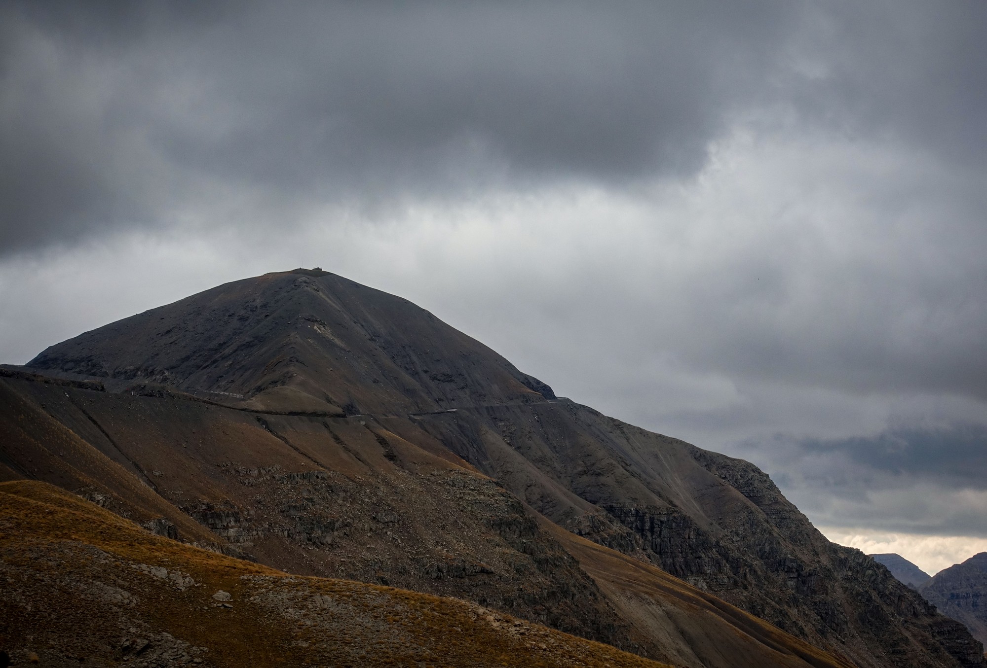
None of that gravel section was overly steep, luckily. Eventually I arrived at the main road. I must admit it felt good to be back on tarmac. There was almost no traffic around as usual, except for the odd car or bike. I forgot to mention that on the gravel section the wind was behind me the whole way which was well useful.
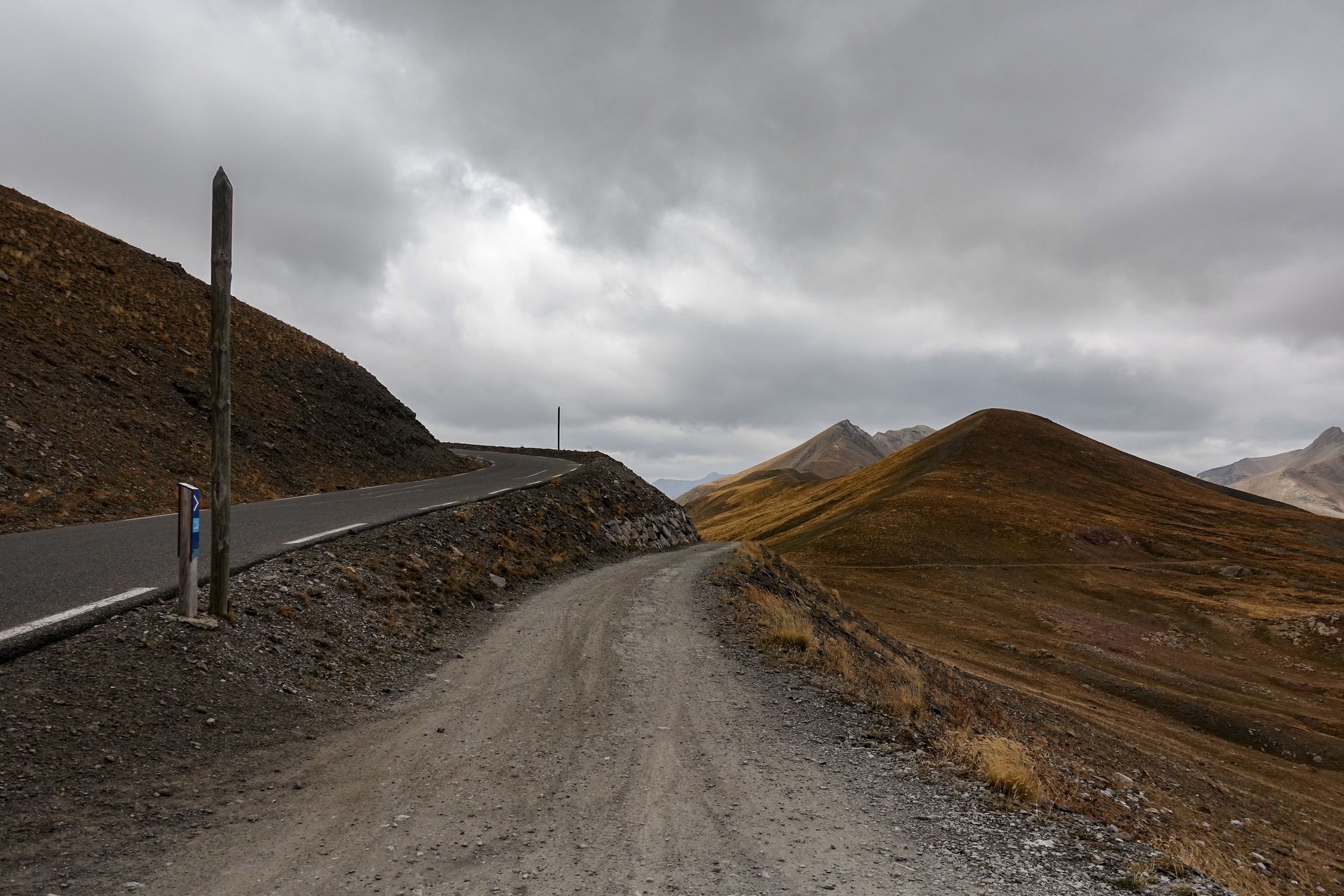
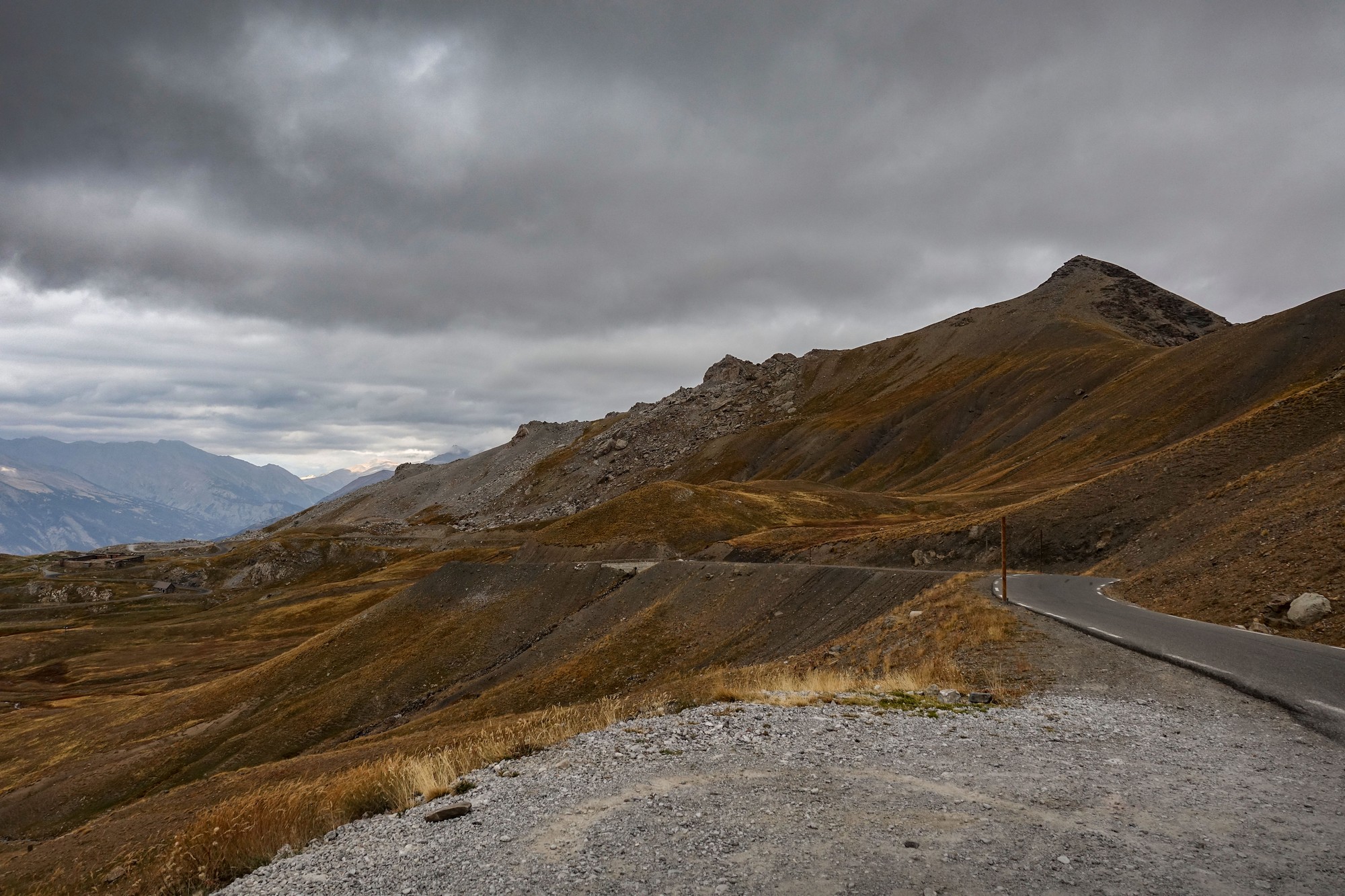
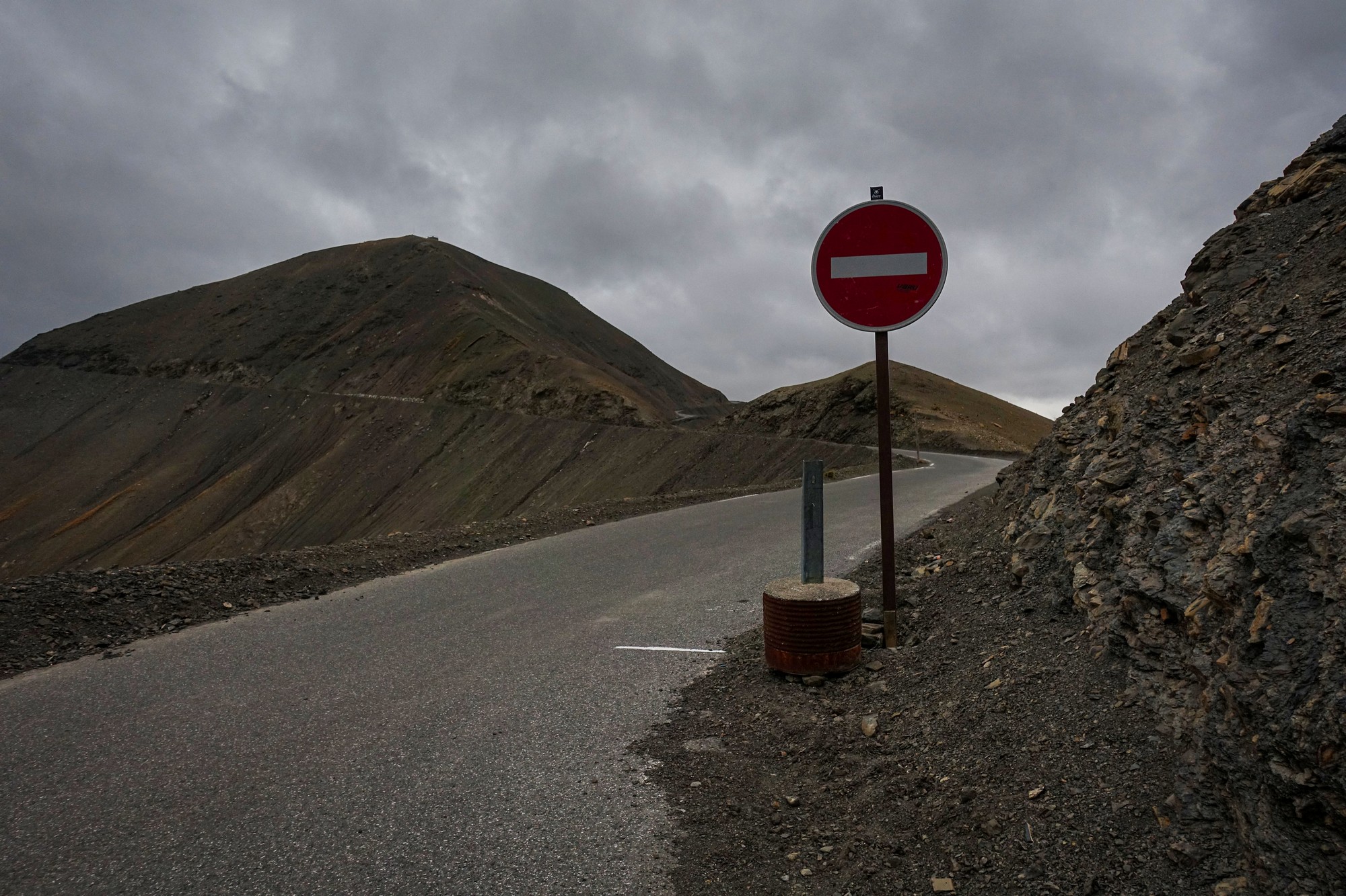
As I approached Col de la Bonette the wind started gusting more strongly and became a problem. Up to that point I had intended to go up the left-hand side of the cime loop because that way I could stay away from the edge, but when I got there I found out they’d made it into a one-way system since I was last here, last year. So the only option now is to go anti-clockwise, which is the way I’ve done it before. The one-way system makes a lot of sense really. But when I got to the col it was so ridiculously windy that I decided to abort that part of the mission. I sat down in a place that was as far out of the wind as I could get to eat half my sandwich after putting my rain jacket back on (difficult in the wind) and my long finger gloves.
While I was eating my sandwich a driver in an open-top car was coming down from the loop and stopped for a brief chat. The wind was gusting so strongly that I was actually hanging on to a post.
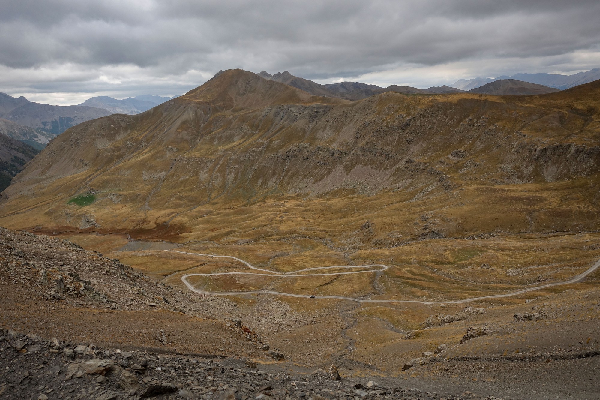
Apart from the odd slither of sun earlier in the day it had been predominantly not only cloudy but very dull, which hadn’t exactly motivated me. It also became very cold. Here at the col it was 1°C according to my bike computer. So I quickly ate my half a sandwich then pulled my snood up over my nose and started making my way back down again, using the tarmac road back to Saint-Étienne-de-Tinée. The wind was annoying but it wasn’t too much of a problem. There was so little traffic I could keep well away from the edge anyway. I had forgotten how glorious this side is. Last time, from Jausiers, I couldn’t decide which side of this mountain I preferred. Now I’ve definitely made my mind up that it’s this southern side – it’s just so spectacular. And wild – just the way I like it.
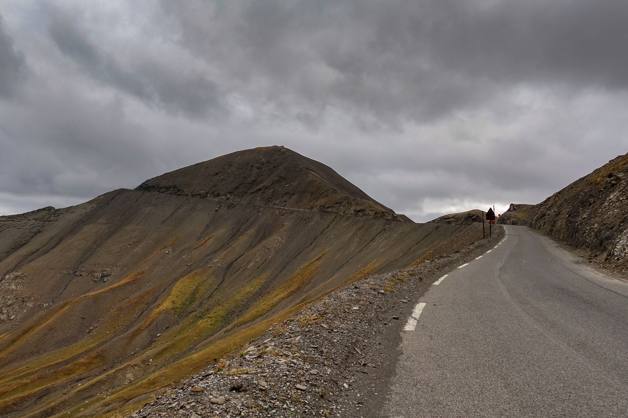
I was so cold I couldn’t feel my nose. Although I only had shorts on, my legs didn’t feel particularly cold. I kept stopping for photos anyway and that prevents your core temperature from progressively dropping as you descend through the cold air. I saw two cyclists coming up and, apart from one at the col, that’s the only cyclists I saw all day.
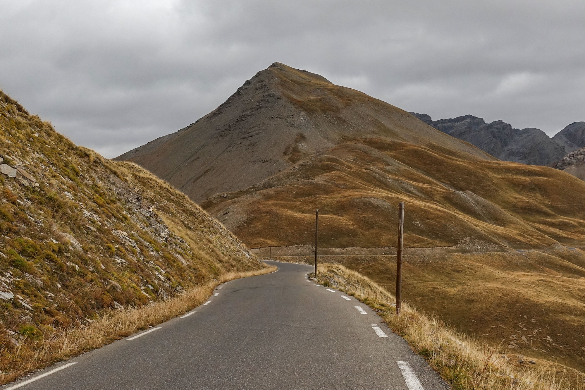
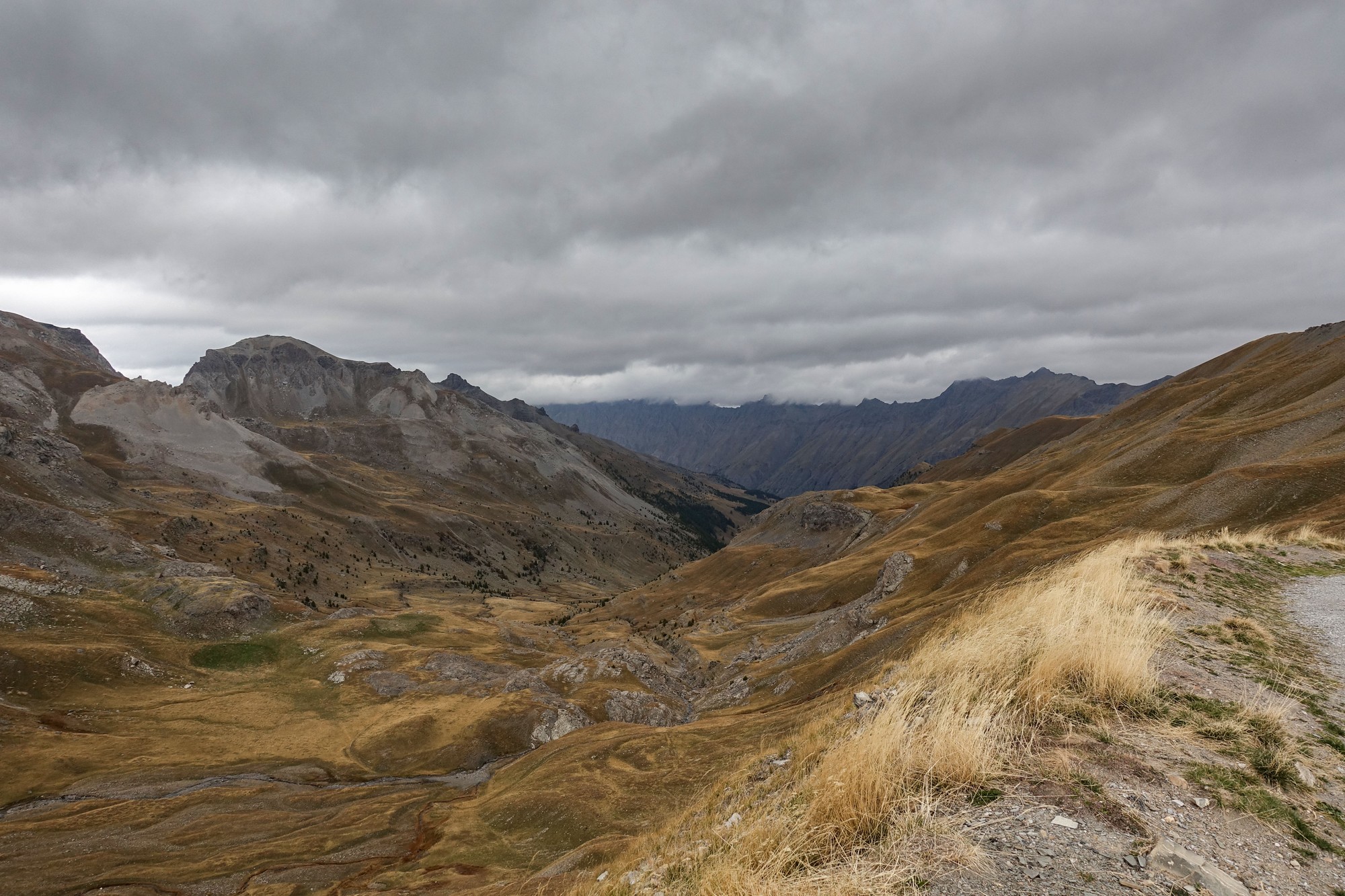
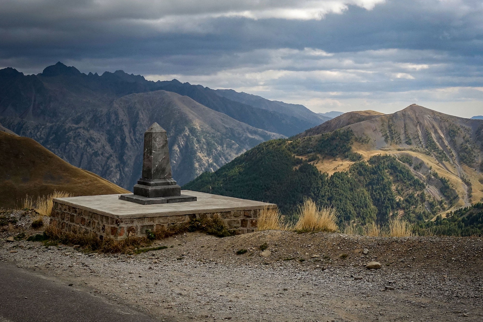
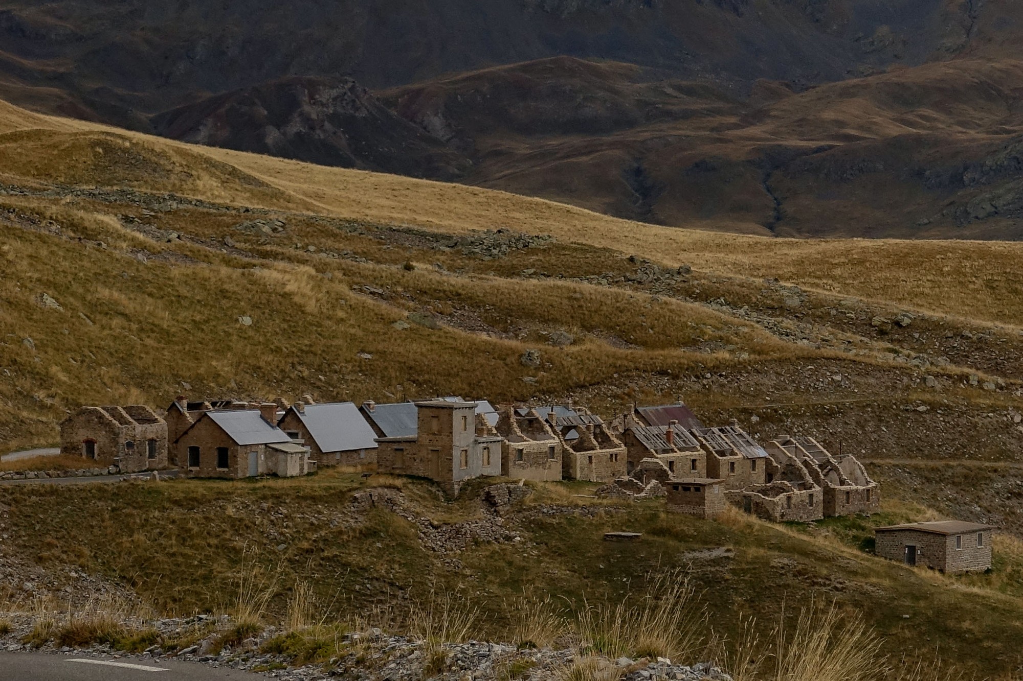
I realised that I’ve cycled up to Col de la Bonette every year for the last three years, each time via a different route. I know this won’t be my last. One day I’ll come up here on a sunny day. I was so close to doing that this time, with yesterday being so glorious, but unfortunately I mucked up my timing and missed out on a golden opportunity. Still it was great to get Col de la Moutière ticked off my list. This route is definitely the toughest way up there, of the three ways I’ve done. Because of the ultra-steep sections leading up to the gravel section I don’t think it’ll be doing that route again, but you never know.
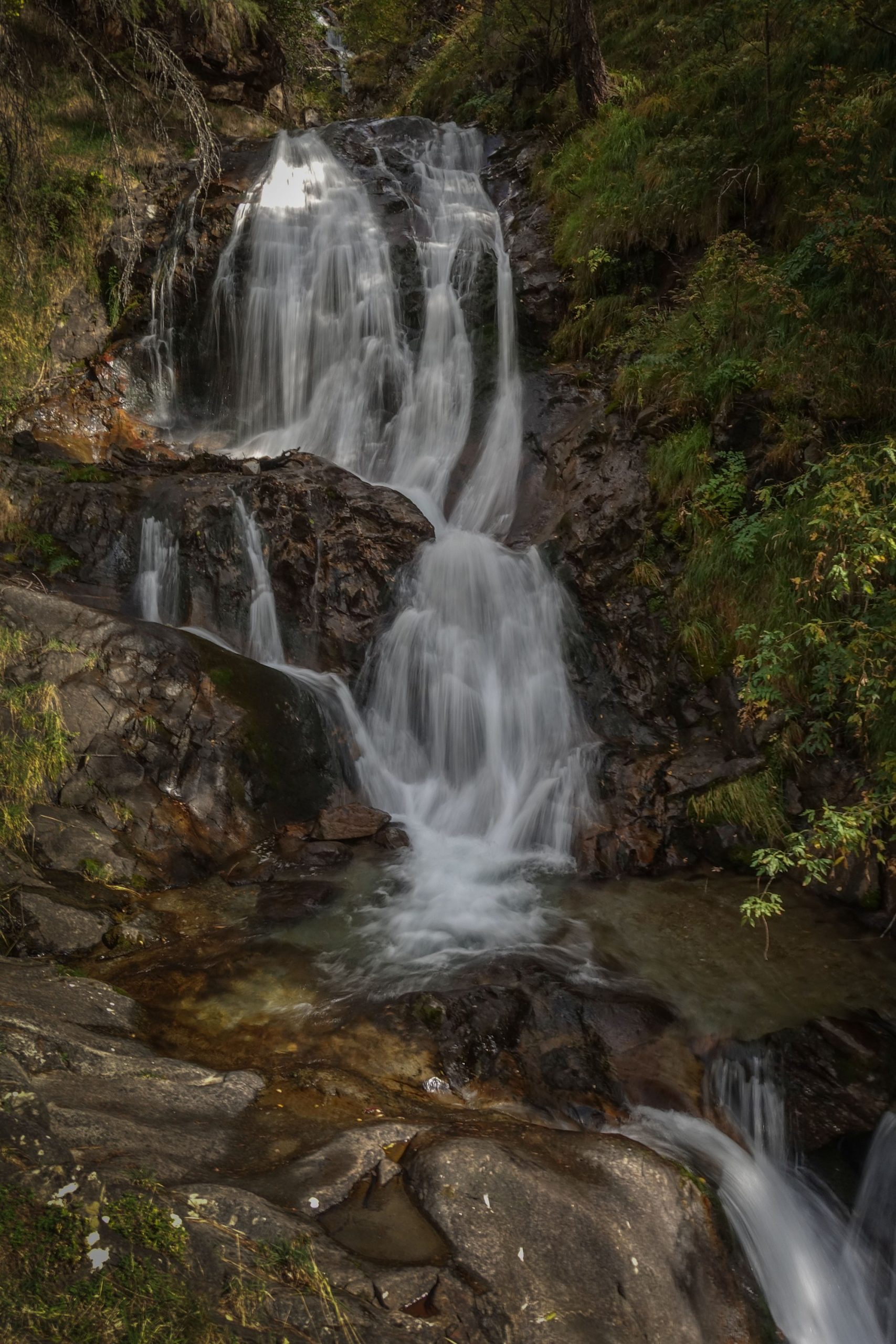
So it was a shame about the weather, and aborting the top loop because of the wind, but it’s still my favourite mountain. I’ll try to climb it once a year, going forward. There is a route, alluded to above, from Jausiers, towards Col de la Cayolle, but turn off at Bayasse and take a gravel track for five miles at 7.5% up to where it joins today’s route just north of the Col de la Moutière, then the two miles of gravel to the main road and then up to the Col / Cime de la Bonette. Apparently the five mile gravel section from Bayasse is in much worse condition than the gravel section today. I still intend to try it one day – even if I have to walk over the rough bits!
Gallery
Click to enlarge / see slideshow


Ahh yes, sweet dreams are made of this”! Thanks for the great report Vince with the usual
captivating photos. I rode up the north side a few years ago and really noticed the thin air near the top, those steep gravel pitches must have really been tough going. I’ll be sure to add this one to my ever growing bucket list.
Cheers
Thanks, as always, for your comment Martin. Very much appreciated.
I highly recommend the south side, either by road or gravel. If you’re anything like me, the bucket list grows at a faster rate than the ability to tick rides off. I feel I should have started when I was much younger. Still, you can’t do everything!
Cheers