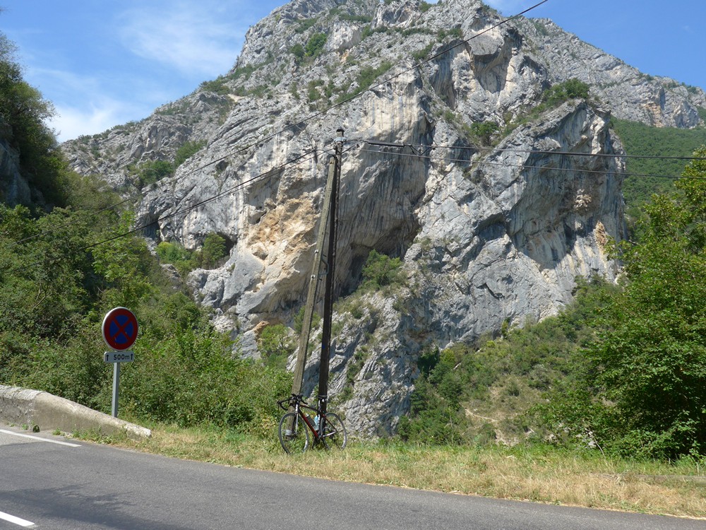
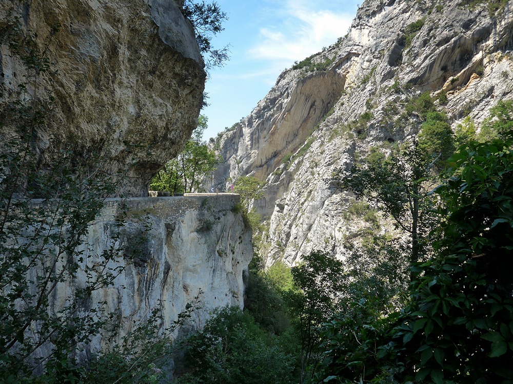
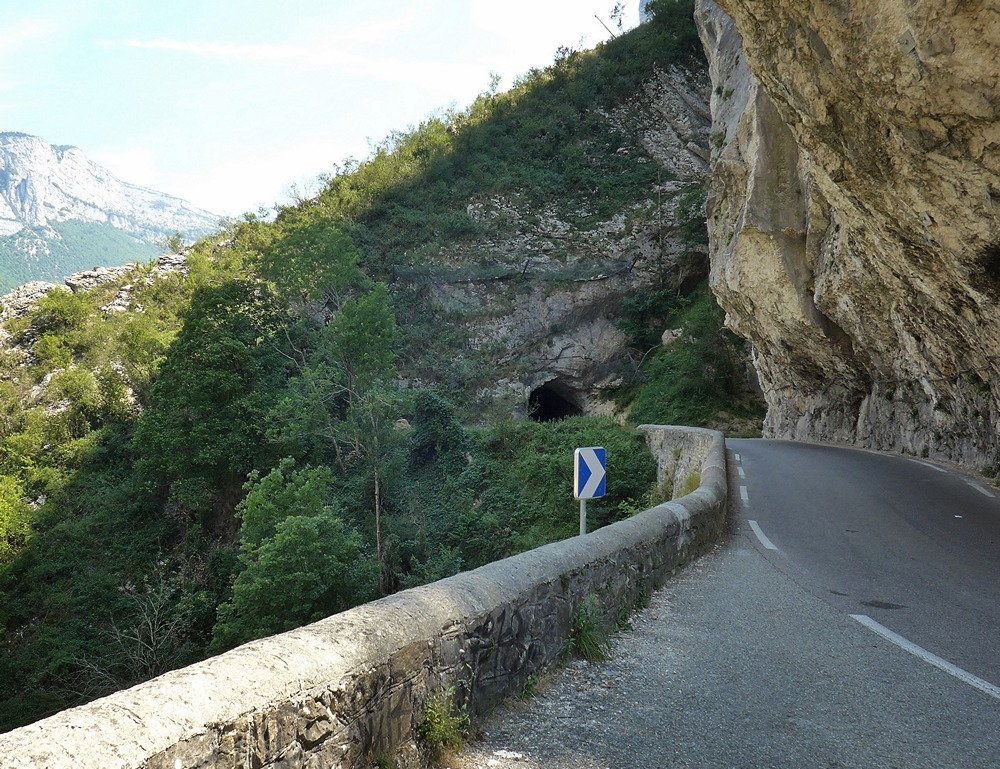
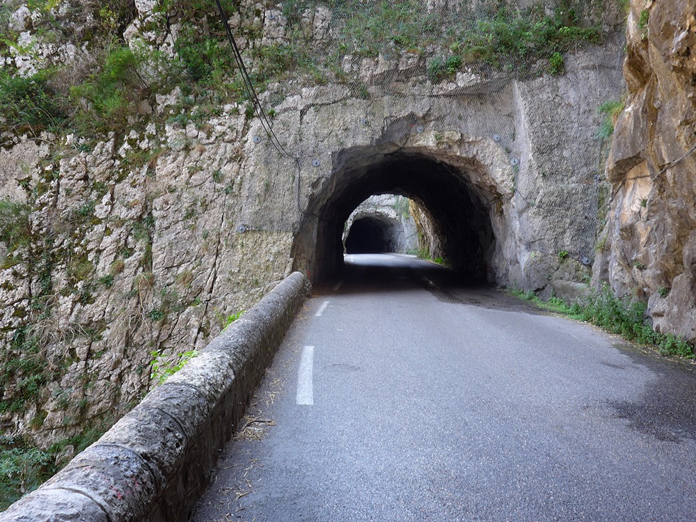
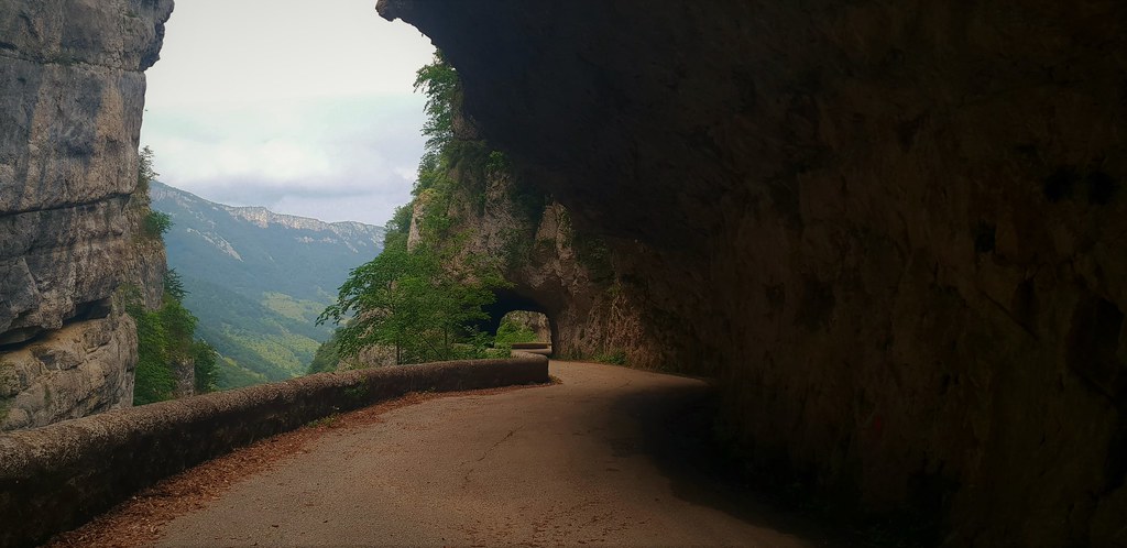
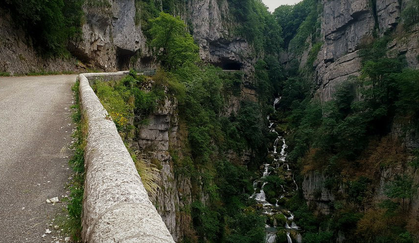
Distance: 52.5 miles. Elevation: 5017 ft
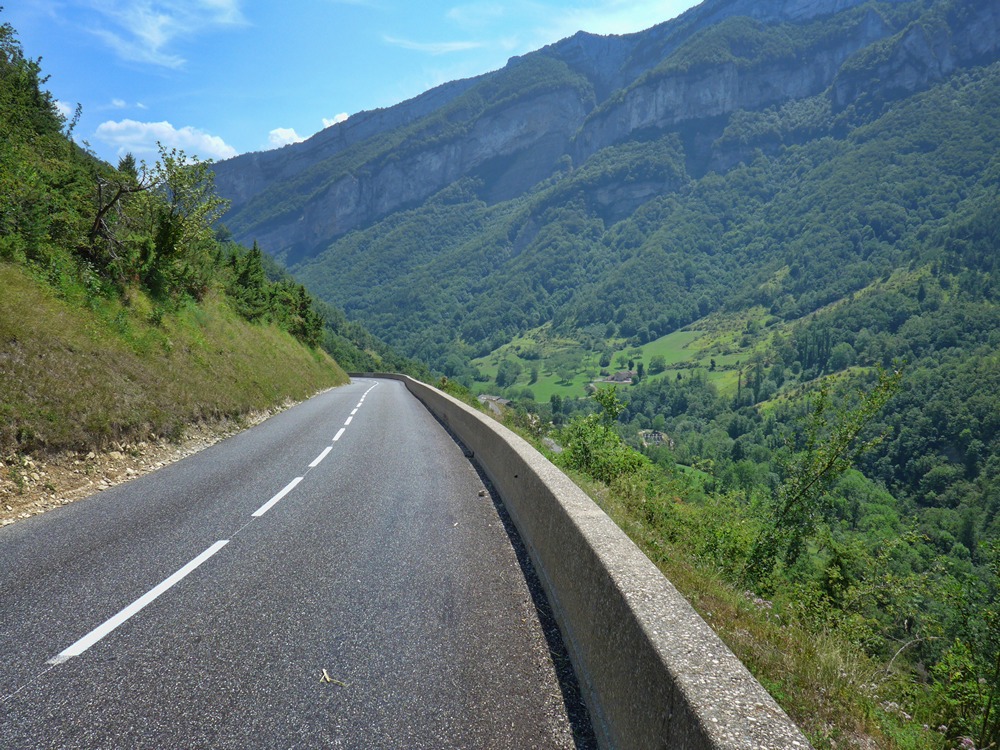
Driving down from Col de Rousset yesterday in my motorhome I was blown away by the splendour of the road that follows the Vernaison river; I noted that it was downhill nearly all the way to St-Jean-en-Royans. I knew it would be amazing to do on a bike, but wondered whether it would be too far to get there from where I’d be staying. I used ridewithgps to plan a route to get me very close to the start of the descent. It would be a 52-mile ride with lots of climbing early on. Some of the route would use bits of my ride from 11 days ago, but in reverse. The weather forecast looked dire, in terms of heat, 37°C by the afternoon.
I knew I had to set off as early as possible so I could benefit from the coolest part of the day. My intention was to leave at 8:00. In the end I got away 40 minutes later.
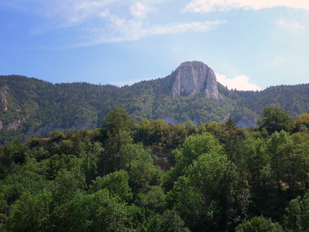
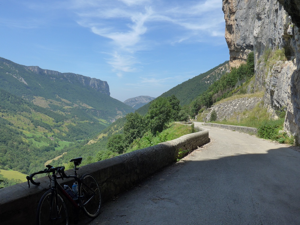
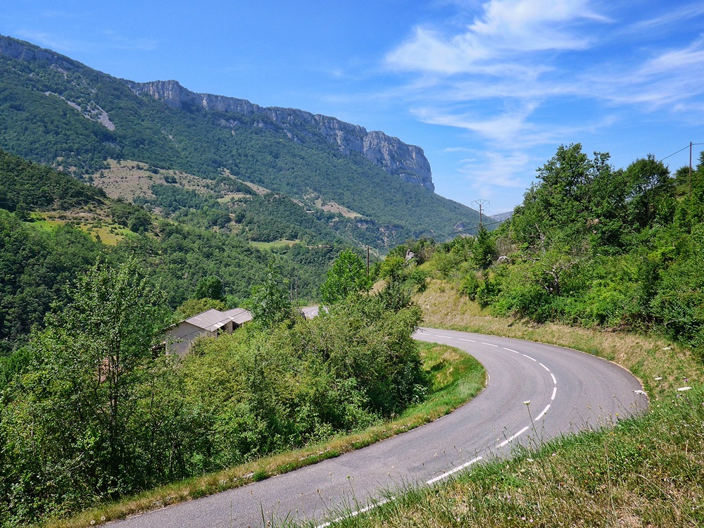
In fact the air temperature was near perfect. But once the climbing started, which was almost immediately, my temperature rose. I had already made a mental note that the descent at the end of the ride would start at the 30-mile mark, so I was really just treating this as a 30-mile ride. That’s the only figure I was fixed on. I soon realised that leaving early had another advantage – the sun was low enough to be blocked, mostly, by the tall rock faces to my left.
The sun peeked over now and again, but I was very lucky that nearly all of the steep 7-mile section of climbing was in the shade. I also realised that it would be a few degrees cooler up there.
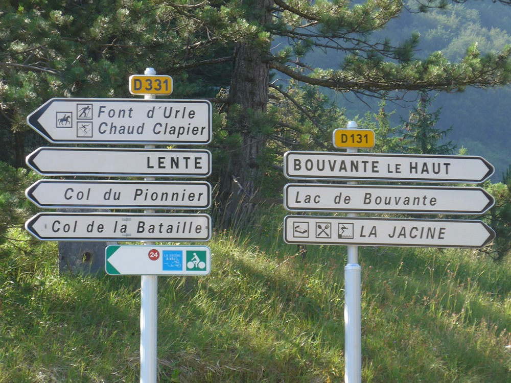
I reached Col de la Croix in just over an hour, then turned left and continued climbing at the same rate towards Col du Pionnier.
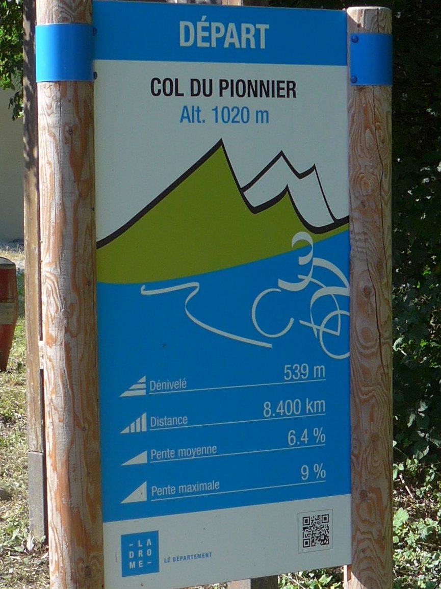
45 minutes later I had reached Col du Pionnier.
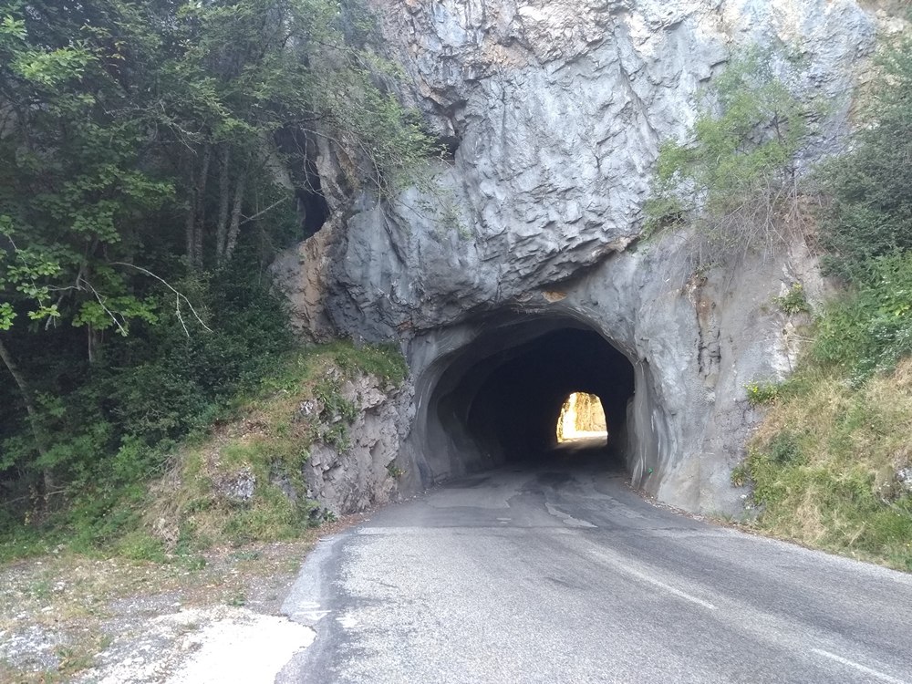
But this was one of those cols, like Col de Lachau a few rides ago, that doesn’t represent the top, so I kept on climbing for another 20 minutes until the summit proper was eventually reached. Somewhere during that climb I heard the trickle of water to my right and immediately stopped to top-up a bidon with cold fresh water from the slowly dripping pipe. It tasted great, as usual.
I had covered 12 miles in just over two hours. There then followed a mile of downhill and then 5 miles of reasonably gentle uphill, during which I was frequently riding on the far left of the road to stay in the shade of the trees; when I heard a car coming I would move over to the right side. There was very little traffic on this whole ride – almost none.

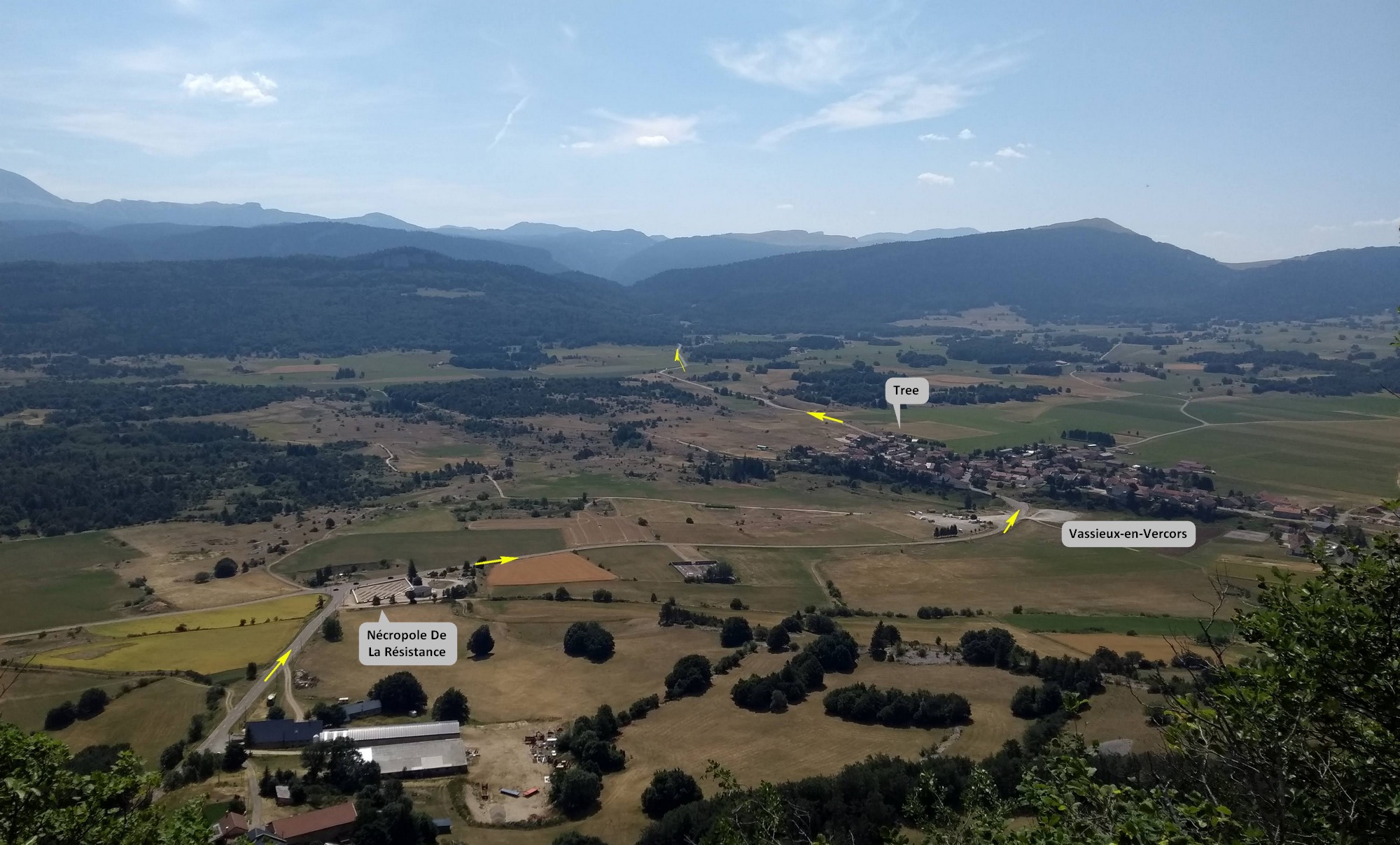
I was soon at the highest altitude of the ride, 4730 feet, higher than any point in the UK. This was a part of the route I’d done 11 days before, but in reverse. I headed towards the Resistance War Memorial, enjoying 4 miles of quite steep descent. Soon I could see right across the plateau, and the road I would be taking through Vassieux-en-Vercors into the hills beyond. It was like a map laid out before me.
No longer shielded by the welcome shade of the forest, I was now exposed in the baking midday sun. I stopped just outside Vassieux under one of the few trees I could see and had an energy gel and a piece of protein bar, ready for the last bit of climbing. I had done 22 miles, so only eight to go to the magic 30-mile mark, after which it was all downhill.
I set off from under my tree into the scorching heat. After 2 miles of gentle climbing, the road became shaded by tree cover again, as I headed back into the forest on the other side of the plateau. The road got steeper for about a mile and then seemed to level out. “Have I reached the end of the climbing?” I wondered. I’d done 25 miles, so hadn’t reached my 30-mile marker yet. But I gradually realised that I’d reached the flat section that leads to the final descent. As I came to fully believe that was the case I became very relieved, almost as if the ride was over, even though I still had 27 miles to go! I soon reached the road that descends from Col de Rousset. I joined it about half a mile down from the car park I’d stayed at yesterday.
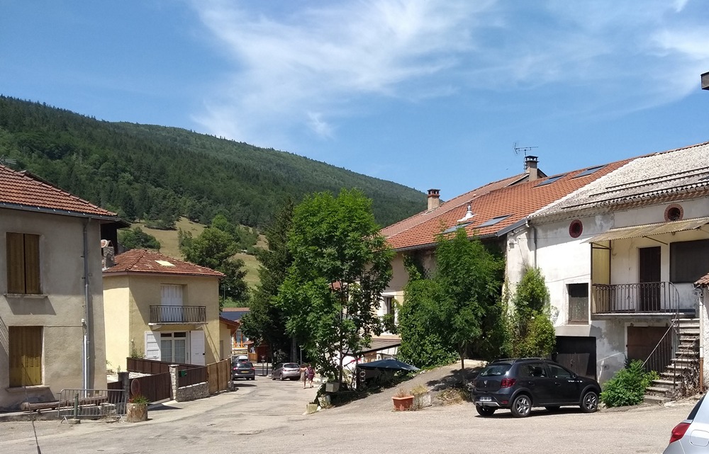
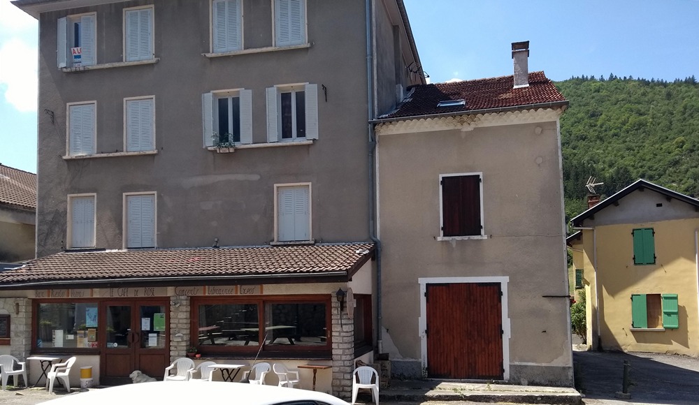
The first four miles of the descent were rapid at about 4% and 27mph avg. Then the gradient levelled out to little more than 1% or so, which was hardly enough to counter the northerly headwind, so I was having to do some riding, as opposed to freewheeling. Eight miles into the descent I saw a sign for ice cream just as I rode into the small village of Saint-Agnan-en-Vercors.
A bar was open, but didn’t sell ice cream. I went into a restaurant that looked closed
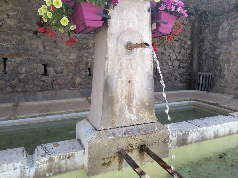
I could hear activity out the back somewhere. Eventually someone heard me and explained they were closed. So no Twister for me! But I was able to top up my bidons with fresh, cool water from the fountain there.
Three other riders (one on a recumbent) rode into the village just as I was leaving. I’d seen them earlier somewhere. “C’est fermé” I shouted over as they too approached the restaurant.
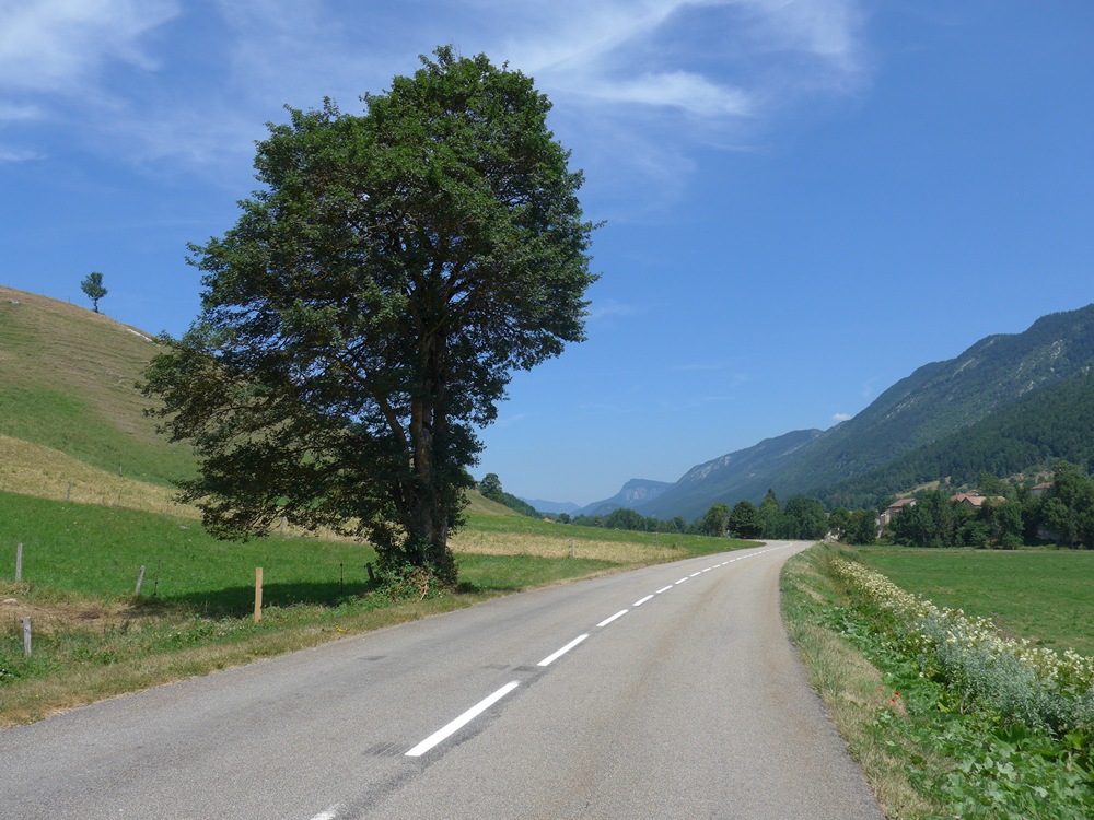
On I rode. It was hot and sunny. This road follows the beautiful valley carved out by the Vernaison river, which is a tributary of the Bourne, itself a tributary of the Isère, which is a tributary of the Rhone! For some reason I wasn’t as deliriously happy as I’d been the day before driving down in my van. Maybe it’s easier driving and just enjoying the splendour of it. Make no mistake though, it was still a great ride.
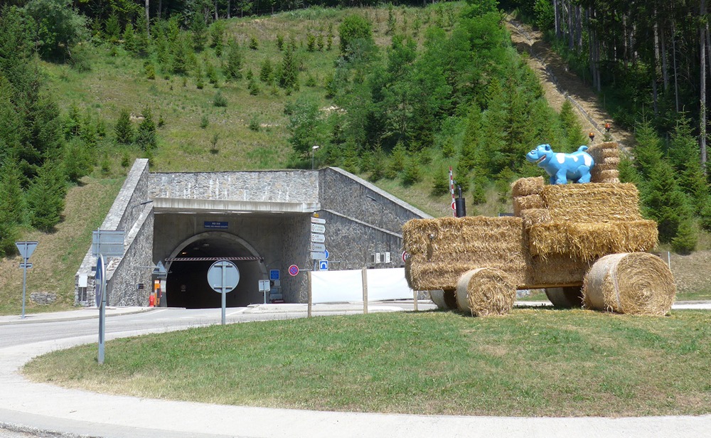
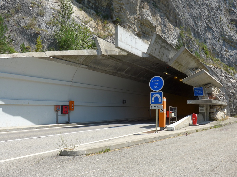
Five miles more of this wonderful open valley lead me to the Tunnel of Les Grands Goulets.
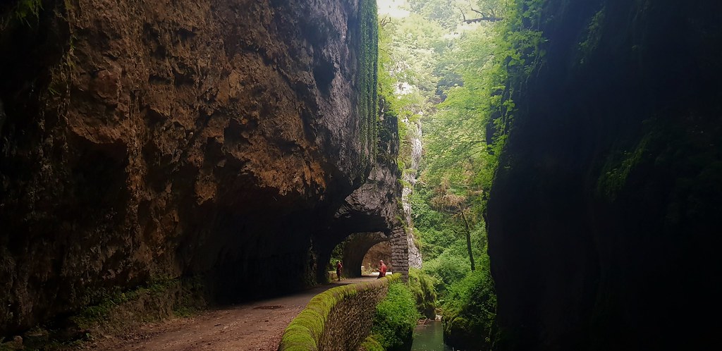
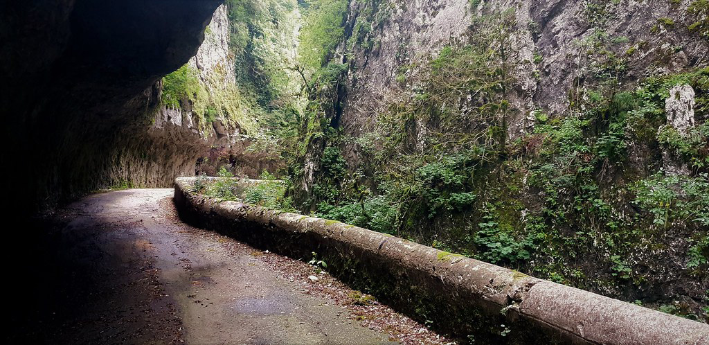
When I had driven this route the day before, I had felt a wave of emotion when I reached this point and realised that the amazing valley I had just driven through leads to what was one of the most revered and awe-inspiring roads in France, sadly closed since 2005. Had I been doing this route 15 years prior, it would have culminated with driving the beautiful magical Grands Goulets, the road blasted out of the rocks where the Vernaison carves its way through a narrow gorge. I had known of Les Grands Goulets for years but I never really bothered to learn exactly where it was in the Vercors. I hadn’t realised it was so close to Saint-Jean-en-Royans.
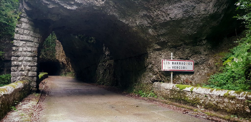
After its closure in 2005 it was bypassed by a modern tunnel. In fact the tunnel is quite impressive. Opened in 2008, the 1650 metre tunnel was built using new techniques and materials. It has several escape tunnels which exit onto the old closed road! So that’s one way of seeing the original Grands Goulets! The tunnel is well-lit but with no real cycle lane, but luckily no car passed me as I bombed through it (downhill). As soon as I exited the other end I looked over my shoulder and saw the barrier to the old closed-off road, so familiar to me from photos I’d seen.
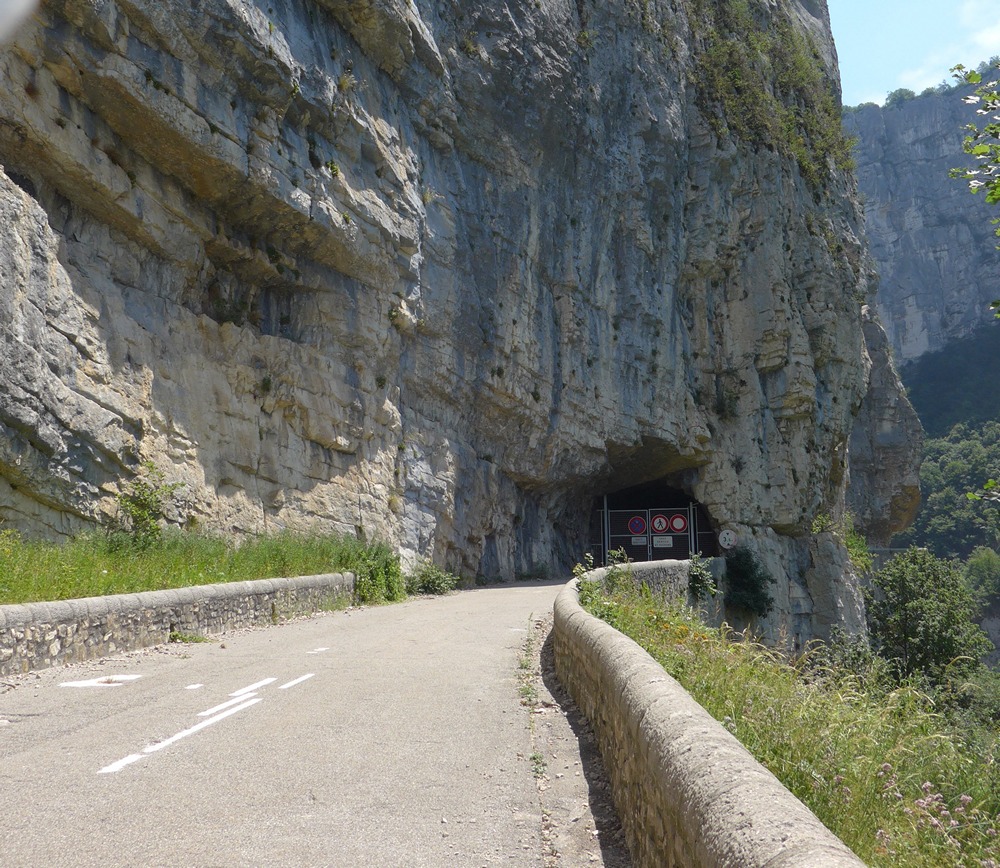
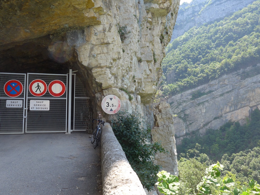
I turned and rode up to the gates to try to get a glimpse of the magical kingdom beyond.
I took a few shots through the bars.
As I went to leave, I was about 100m from the gates when a van drove right up to the gates and two guys got out but I couldn’t really see what they were doing from where I was. I waited in case they were workers who I might have asked to let me have a look in there. After several minutes waiting I realised that they might be waiting for me to buzz-off before they got up to some nefarious activity. So I left them to it.
(See the bottom of this post for photos of what it’s like through those gates!)
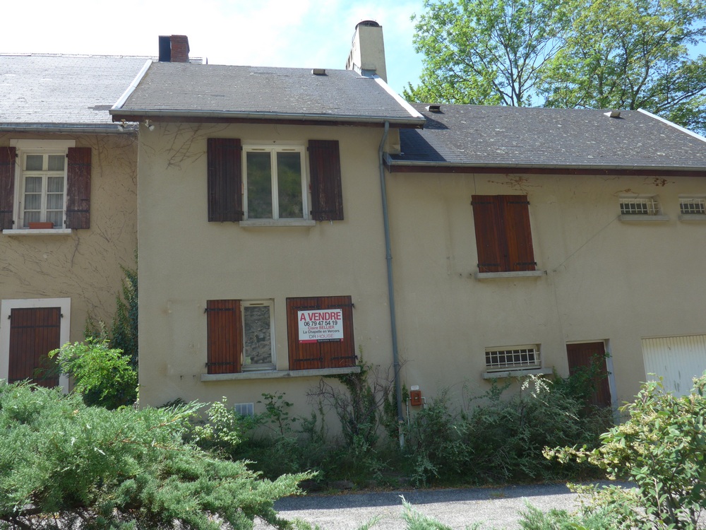
Coming away from the tunnel I spotted a house (hotel) for sale. It was quite well-known back in the heyday of Les Grands Goulets. It’s called Le Refuge. It was used as a base for operations when the tunnel was built in 2008. I enquired about the price – €190k – bargain!
For the next four miles the road descends almost one thousand feet down to the level of the river via some hairpins.
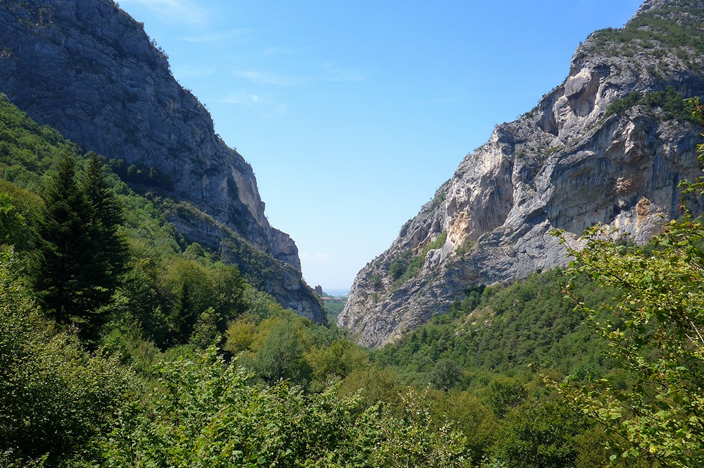
Down in the Échevis valley the road crosses the Vernaison and follows ‘le rive gauche’ as it makes its way to the second pinch point, where the road builders have once more squeezed a road through the narrow gap where the Vernaison carves a second gorge between the rocks as it escapes the massif to join the River Bourne at Pont-en-Royans about a mile further downstream.
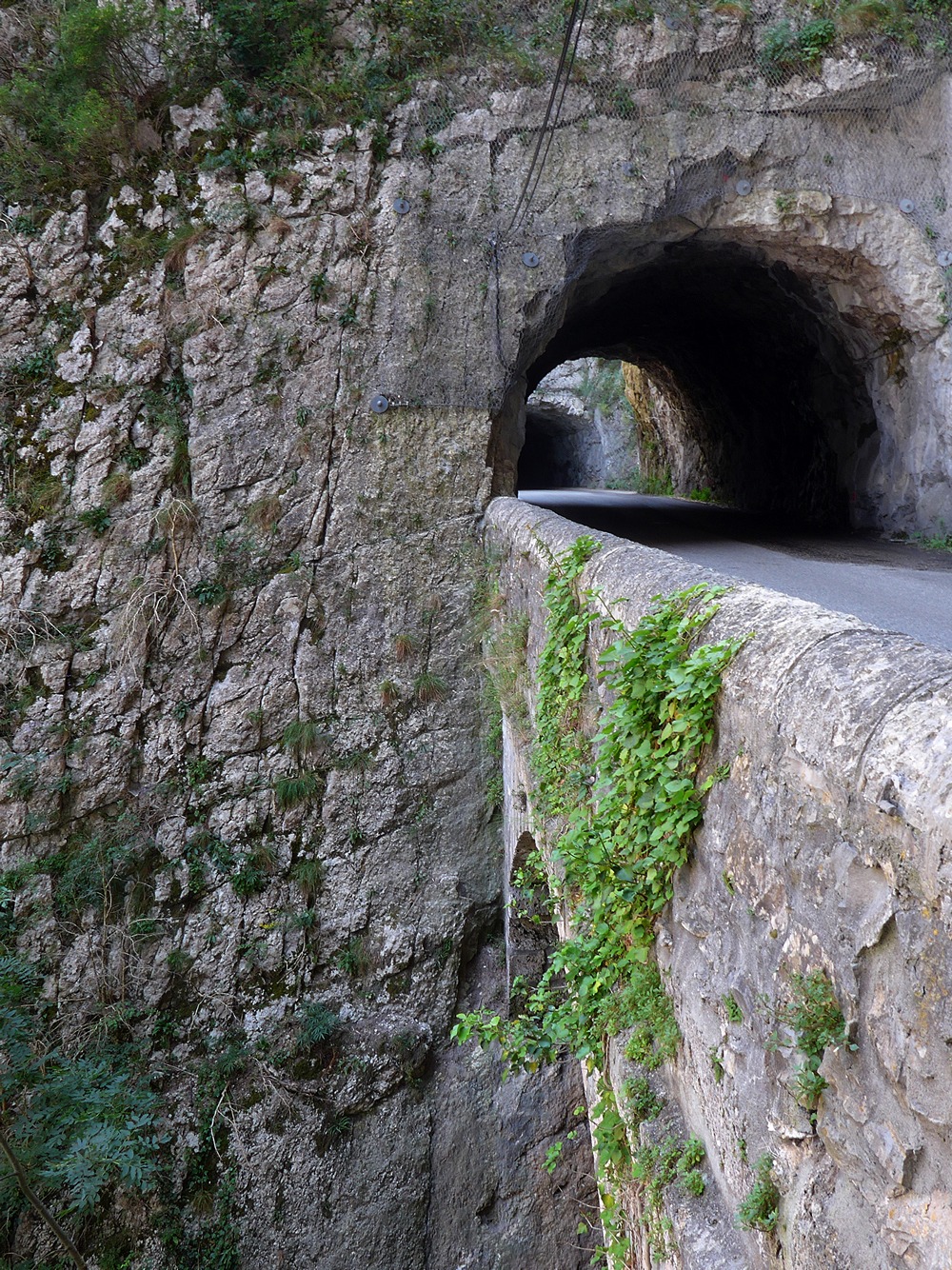
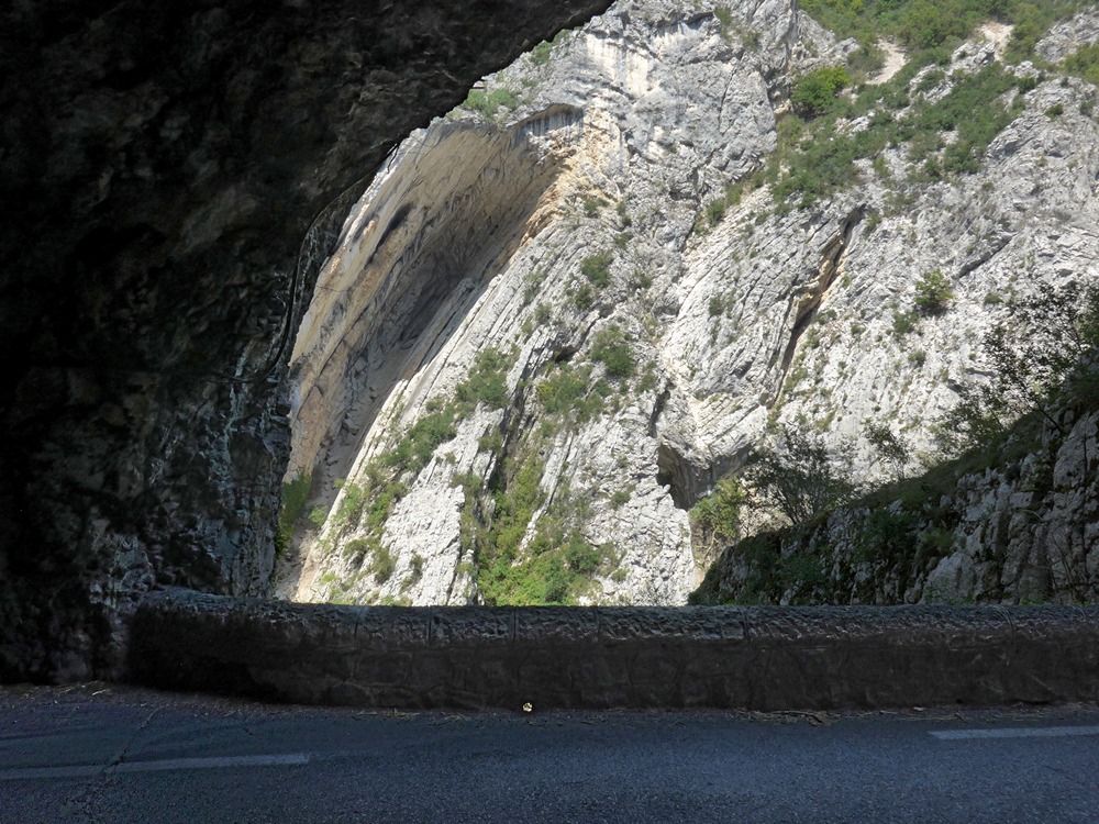
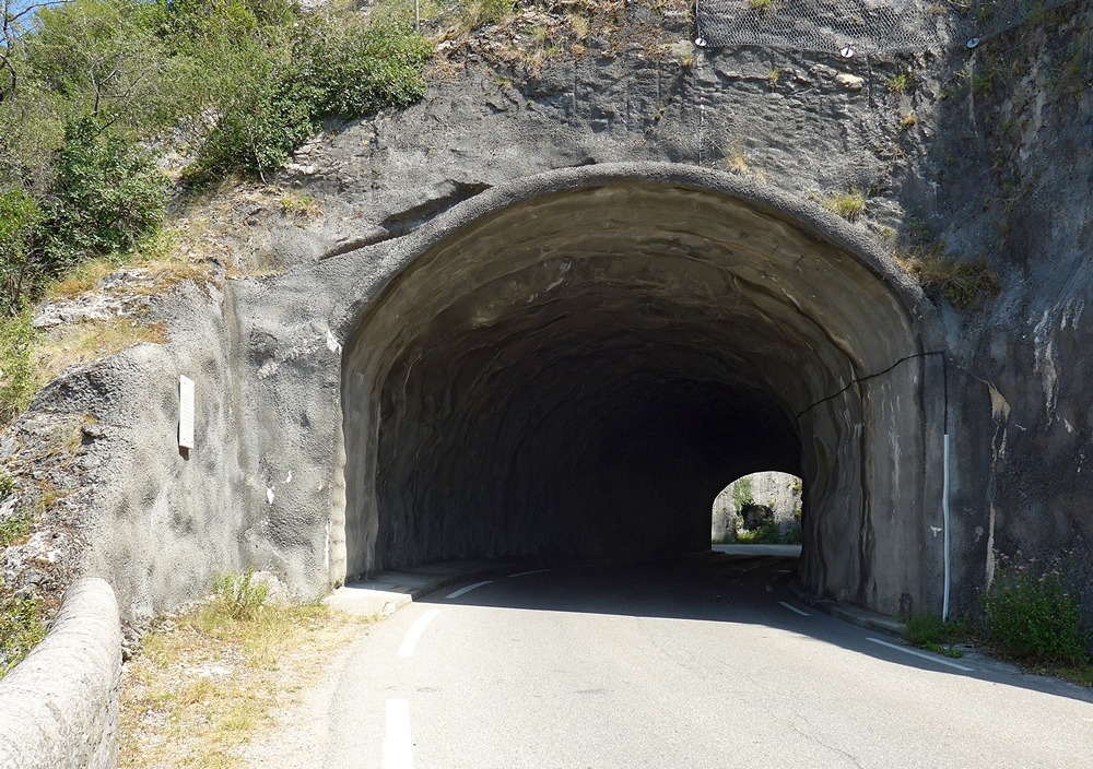
There is a series of short tunnels interspersed with views of the ominously close opposing rock face, through a narrow section of road controlled by traffic lights. A smaller version of Les Grands Goulets, this stretch is fittingly known as Les Petits Goulets
The river was on my right, but many of these shots are looking back up the road
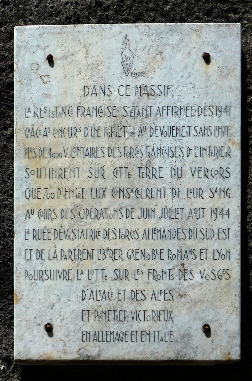
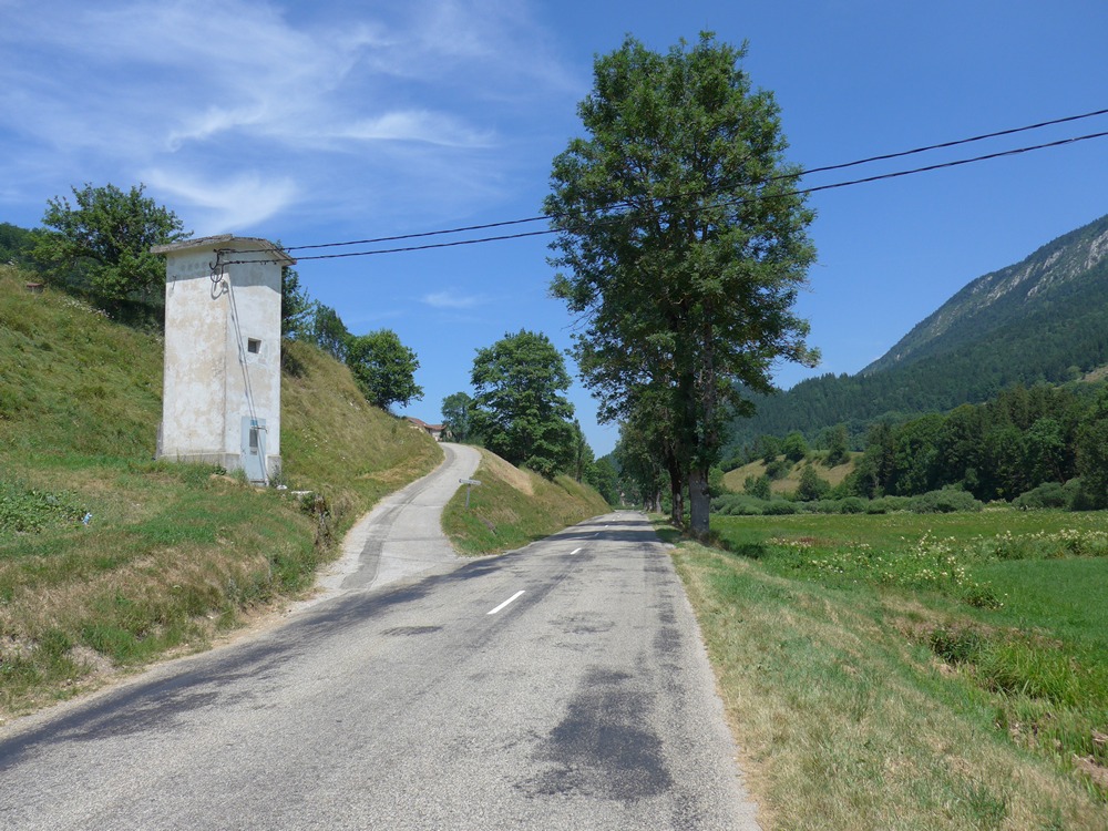
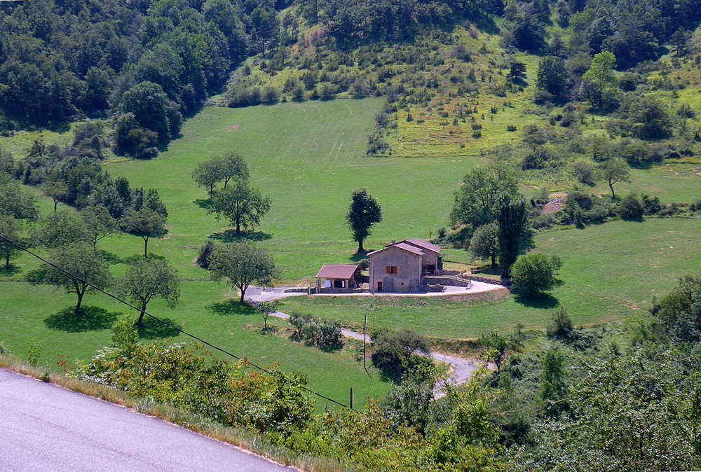
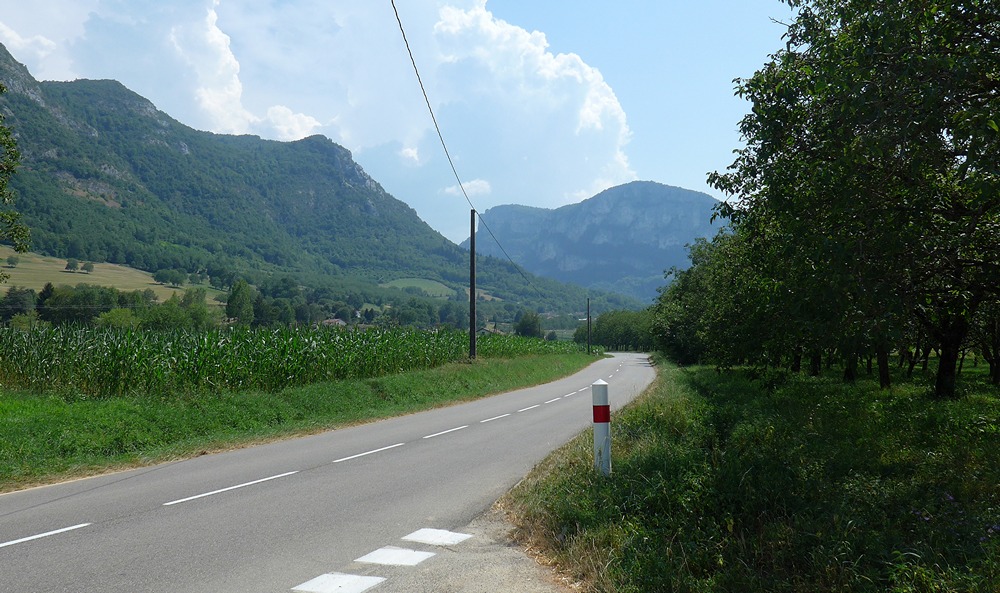
The remaining five miles to the finish were through orchards and fields, with the huge Vercors cliffs always making their presence felt, on my left.
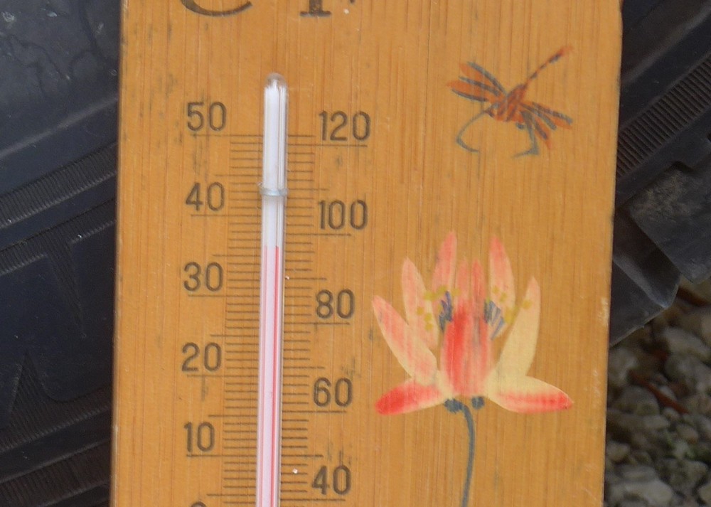
When I got back, the temperature in the shade was in the high 30s.
I drank 2 pints of milk, two more bidons of water, bidons of squash, ate yoghurts and other ‘wet’ food. Essentially I was VERY thirsty!
Les Grands Goulets Photos
When I first saw a photo of the fence blocking off the old road a few years ago, I was sure that there would be some adventurous souls who will have climbed over and explored within. Coincidentally someone had done just that, a mere seven days prior to my being there, and have provided a good report of their findings here:
THE FORBIDDEN ROAD – REPORT
Here are a few photos from that report to whet your appetite:
Fuel

