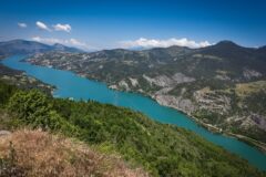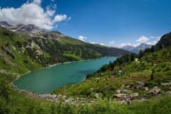
Distance: 34.3 miles. Elevation: 5098 ft.
Today I climbed Alpe d’Huez and then went higher to Col du Poutran and Lac Besson, but earlier in the day that hadn’t been my intention.
My original plan for today was a very tough gravel challenge via Les Deux Alpes to Col du Jandri at 3,150 m. I’m based a couple of miles up the D530 road towards La Bérarde, which makes a convenient place to start. I spent last night and this morning debating what kit to wear — it’s difficult to judge what the temperature will be at that altitude. I took a gamble that a summer jersey, base layer, arm warmers, cap and snood would be enough. I also fitted new rear brake pads to my gravel bike.
So I set off at 10:00. The air was bloody cold, made worse by the slight descent along the D530, so I stopped and put my rain jacket on. I was already beginning to wonder whether I’d under-dressed for the high-altitude task ahead.
As soon as I reached the main road, I was confronted with this sight:
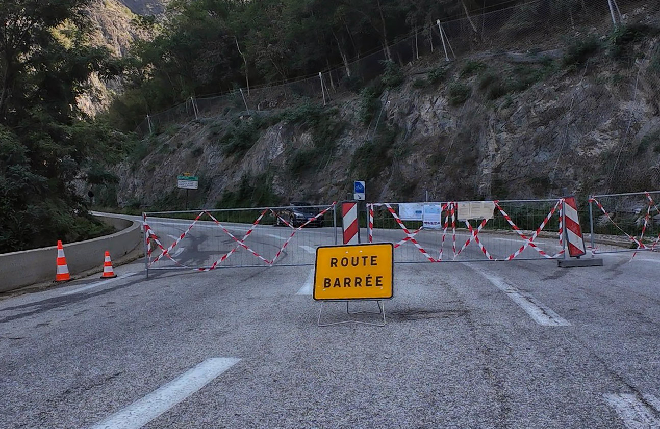
Damn!
I read the information on the sign. The road was closed on weekdays because of work in the tunnel, although it was accessible before 9:00 AM and after 6:00 PM, and open at weekends.
I was discombobulated for a brief while, but soon realised I could do another ride I’d had in mind from here: Alpe d’Huez, followed by the road up towards the lakes above it, which I’d failed to reach several years ago. I could also claim Col du Poutran in the process.
I had the wrong bike and the wrong kit for Alpe d’Huez, but decided to do it anyway. So I headed towards Le Bourg-d’Oisans.
The three-mile, almost dead-straight road along the Romanche Valley was familiar to me, but today there was barely any traffic because the Col du Lautaret road was closed behind me.
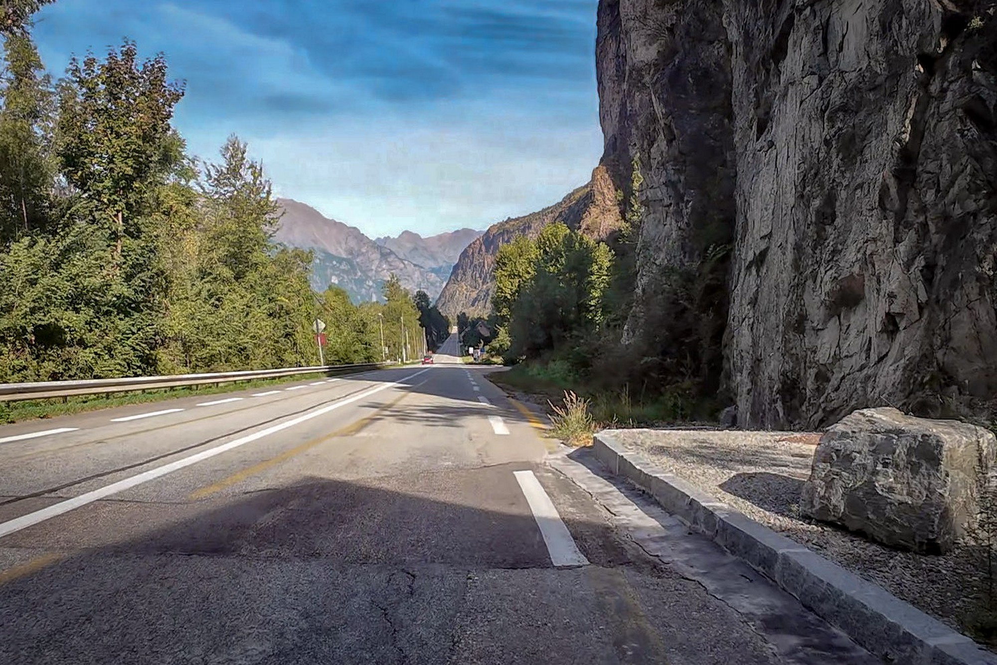
On reaching the foot of the climb to Alpe d’Huez, I stopped to take off my rain jacket and had half a banana. Then I set off on the task in hand.
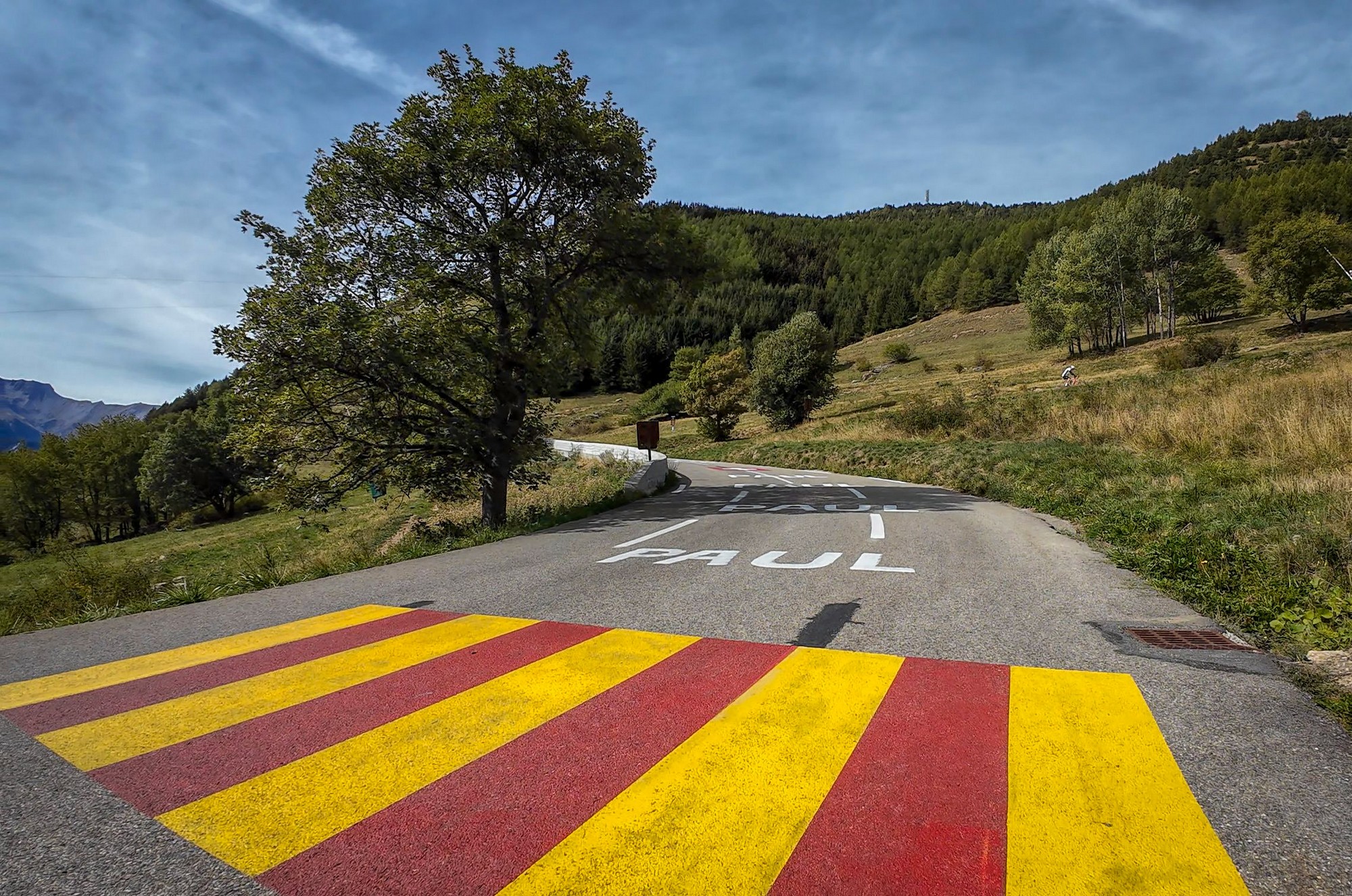
I wanted to do the climb without stopping, although I wasn’t sure how fit I would feel, so I simply took it steady, mostly in my two lowest gears and occasionally the third. There were a few cyclists about, but nowhere near as many as I’ve seen before, and traffic was light as well.
So I steadily slogged my way upwards.
The only pain I had was in my lower back, so I kept getting out of the saddle to try to relieve it. It never became unbearable.
Initially the lacets seemed to be counting down very slowly from 21, certainly through the teens, although I hadn’t really been paying much attention to them. I was more focused on the bornes kilométriques, which were nearly always reporting gradients of 9 or 10%, with the occasional welcome 8%.
Then suddenly I noticed I’d reached lacet number 7. Only six to go. That came as quite a surprise.
I was also recognising things from previous rides: the turn-off for the D211A balcony road, the place where I’d joined from Pas de la Confession, and the road towards the Col de Sarenne.
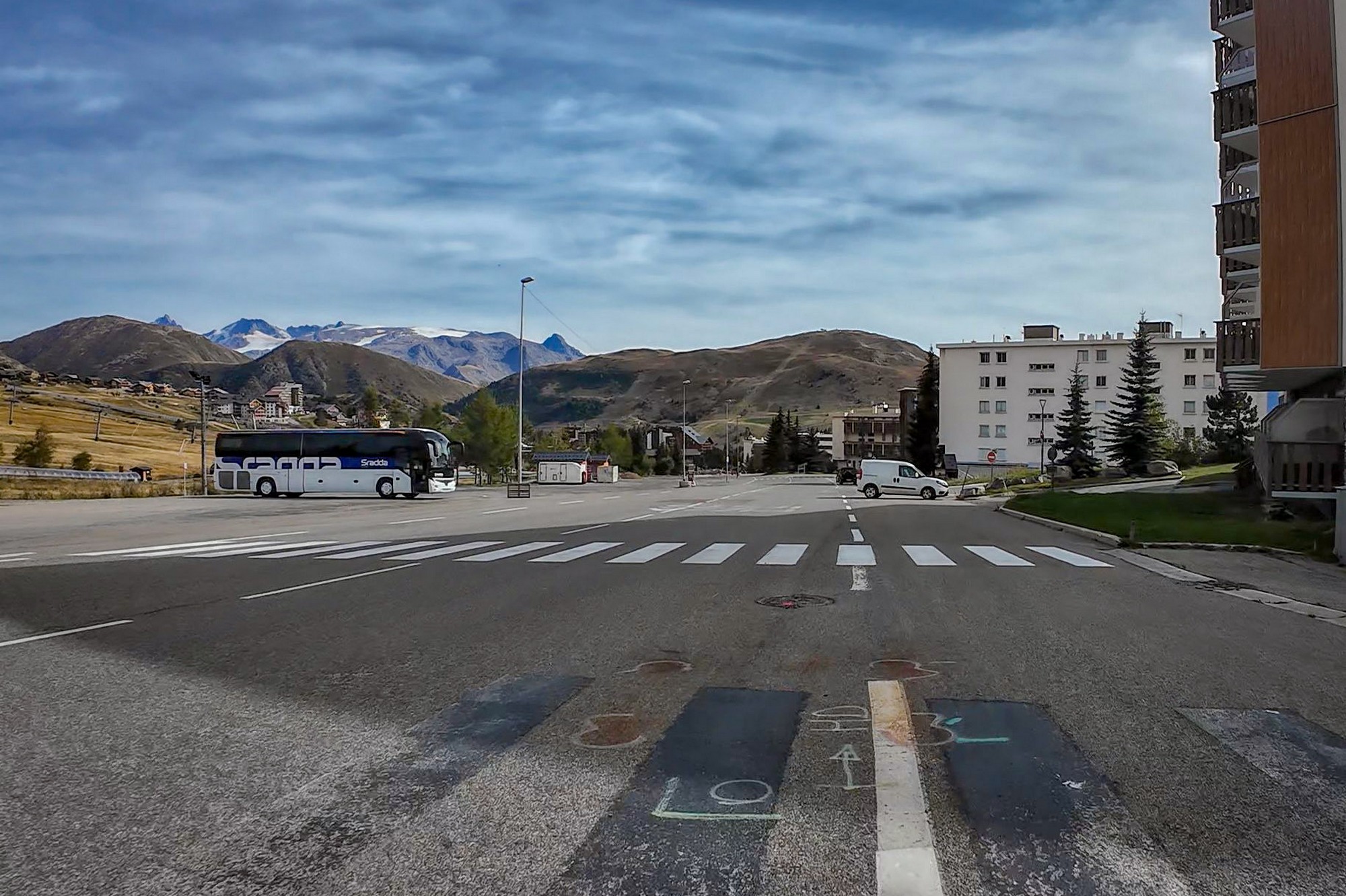
Eventually I reached Alpe d’Huez. As on my last visit, I found it surprisingly difficult to work out which road to take through the ski town’s sprawling collection of roads and roundabouts. There were signs saying “Itinéraire du Tour de France”, but they weren’t always easy to spot.
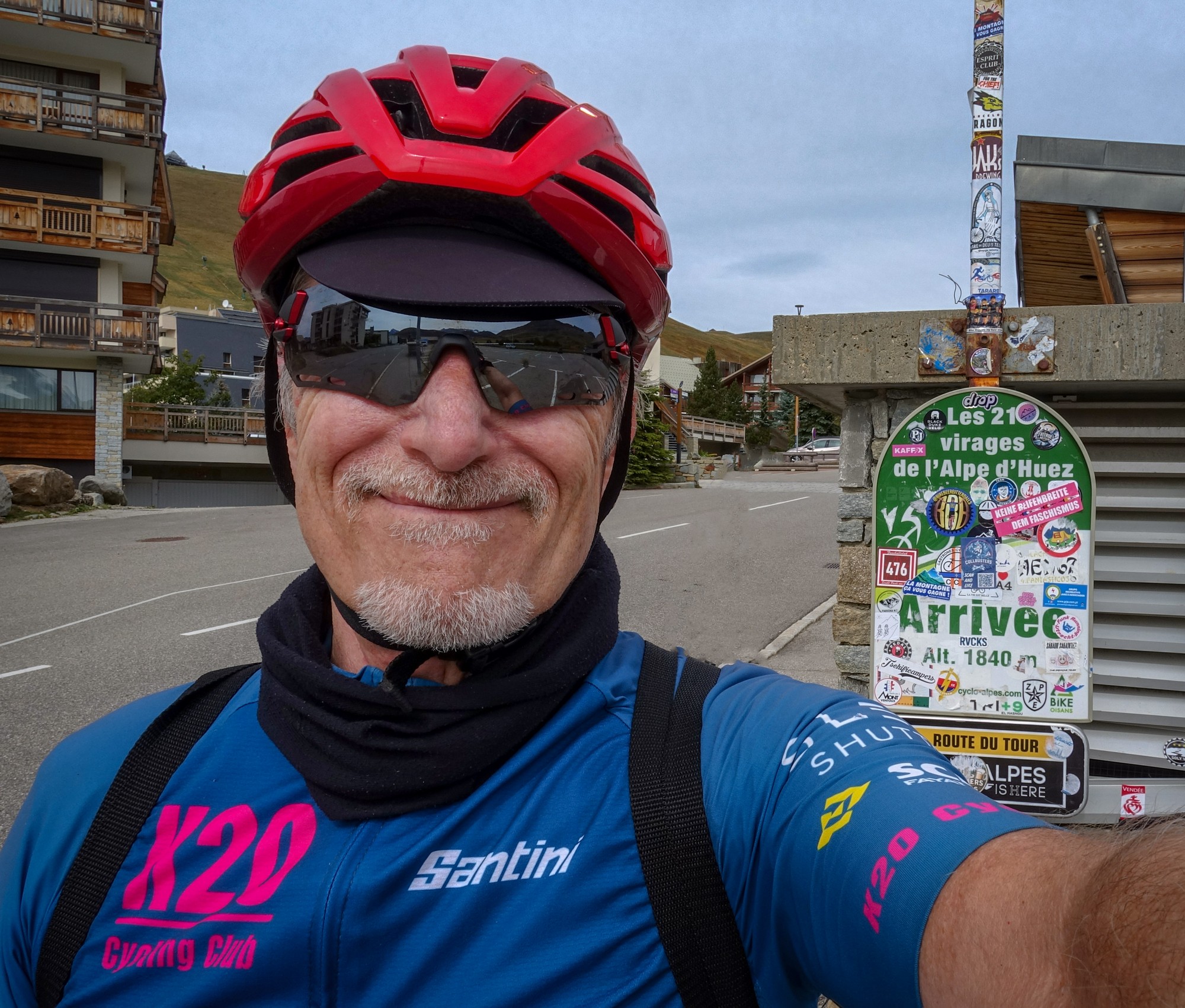
Luckily I managed to stay on the right route and eventually saw the sign confirming I’d arrived. I’ve always thought that, for one of the most famous climbs in the cycling world, the sign is rather low-key. Indeed, when I was here five years ago I rode straight past it without noticing it.
So I stopped and got a photo.
There were only a few other cyclists around and I spoke to several of them.
One stopped to ask me how to get to the Col de Sarenne. I gave him directions and also warned him that, if he was thinking of doing the loop back along the valley road, he wouldn’t be able to because of the road closure.
Another asked me about Pas de la Confession. I told him how to get there and also told him the story of how it got its name.
Then I took another guy’s photo for him. I was beginning to feel like some sort of tourist information bureau.
I ate half my sandwich and the rest of my banana before setting off towards the lakes.
The Route des Lacs is tarmac, but in poor condition. It’s steeper than I remembered too, at around 8%. I recognised the spot where I’d climbed through a fence on my previous visit to get a view over Oz-en-Oisans. I briefly thought about doing so again, but decided just to keep going.
There was no wind and I realised that the weather was almost ideal. High cloud had started to weaken the sun.
At one point I thought the road had turned to gravel and rode up a very steep, stony ramp before noticing that the road I should have been on was below me to the left. In fact there’s a descent before the road begins climbing again for the final stretch towards the lakes.
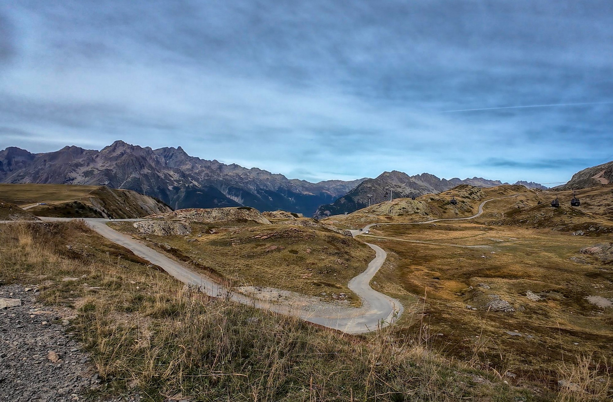
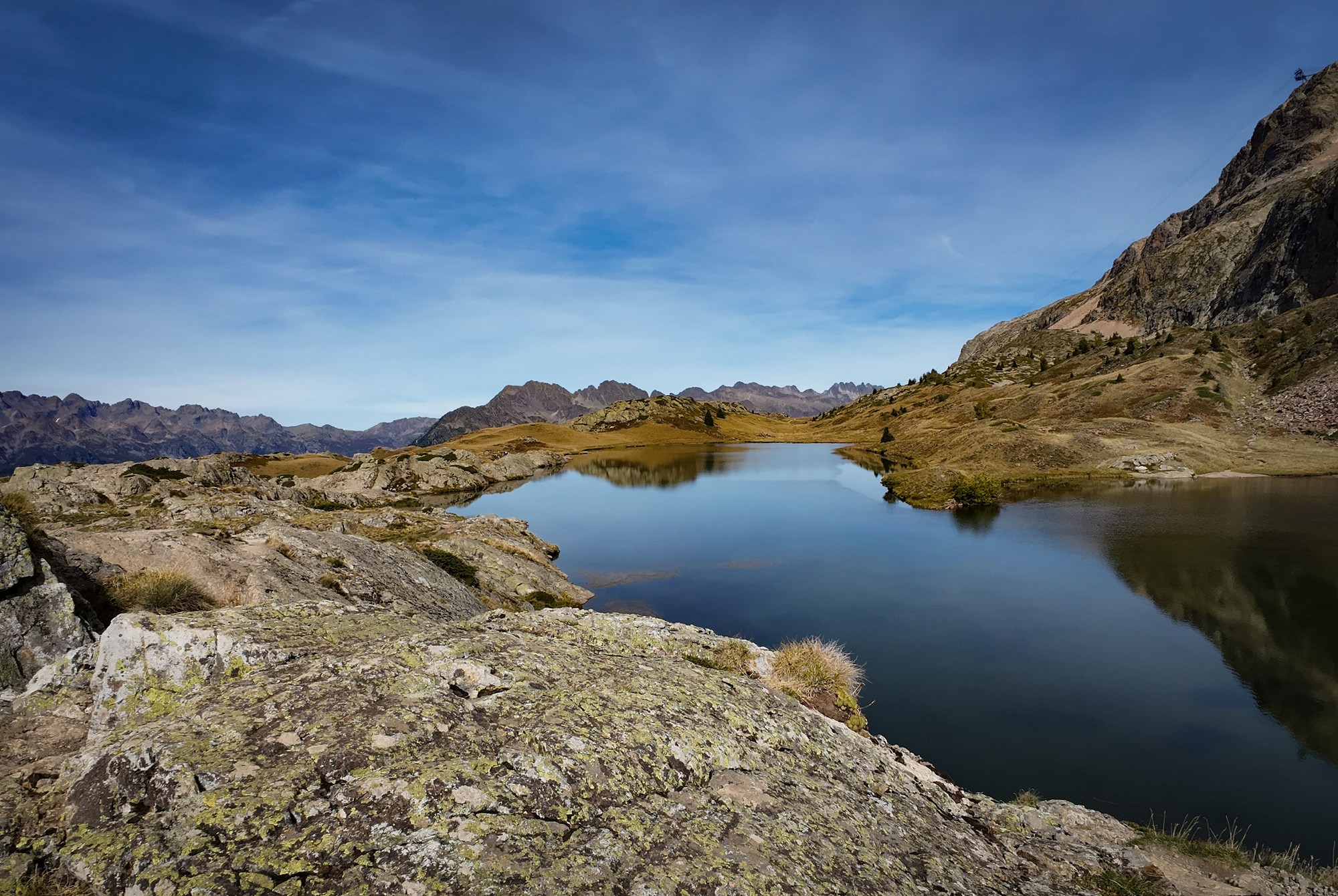
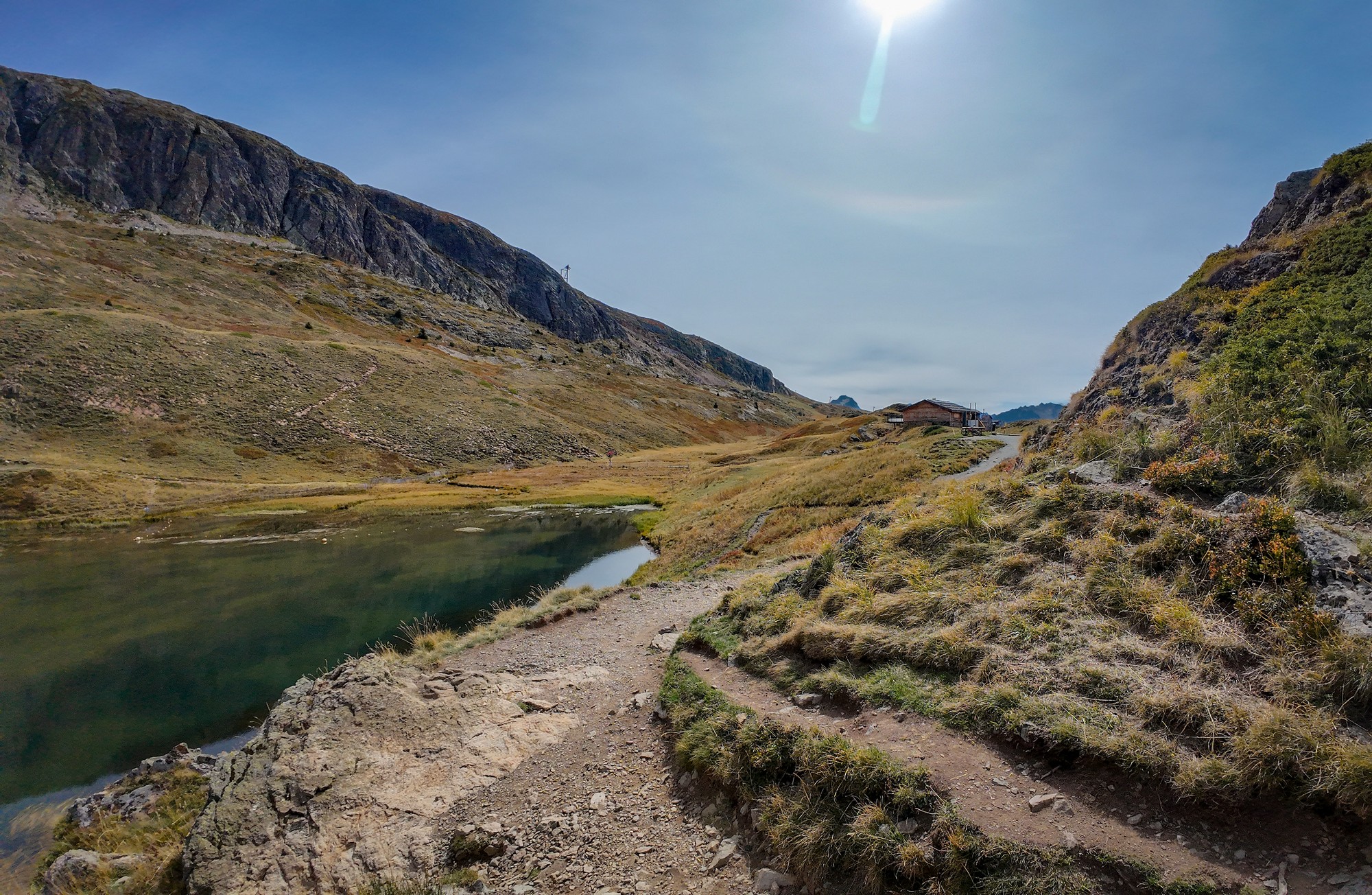
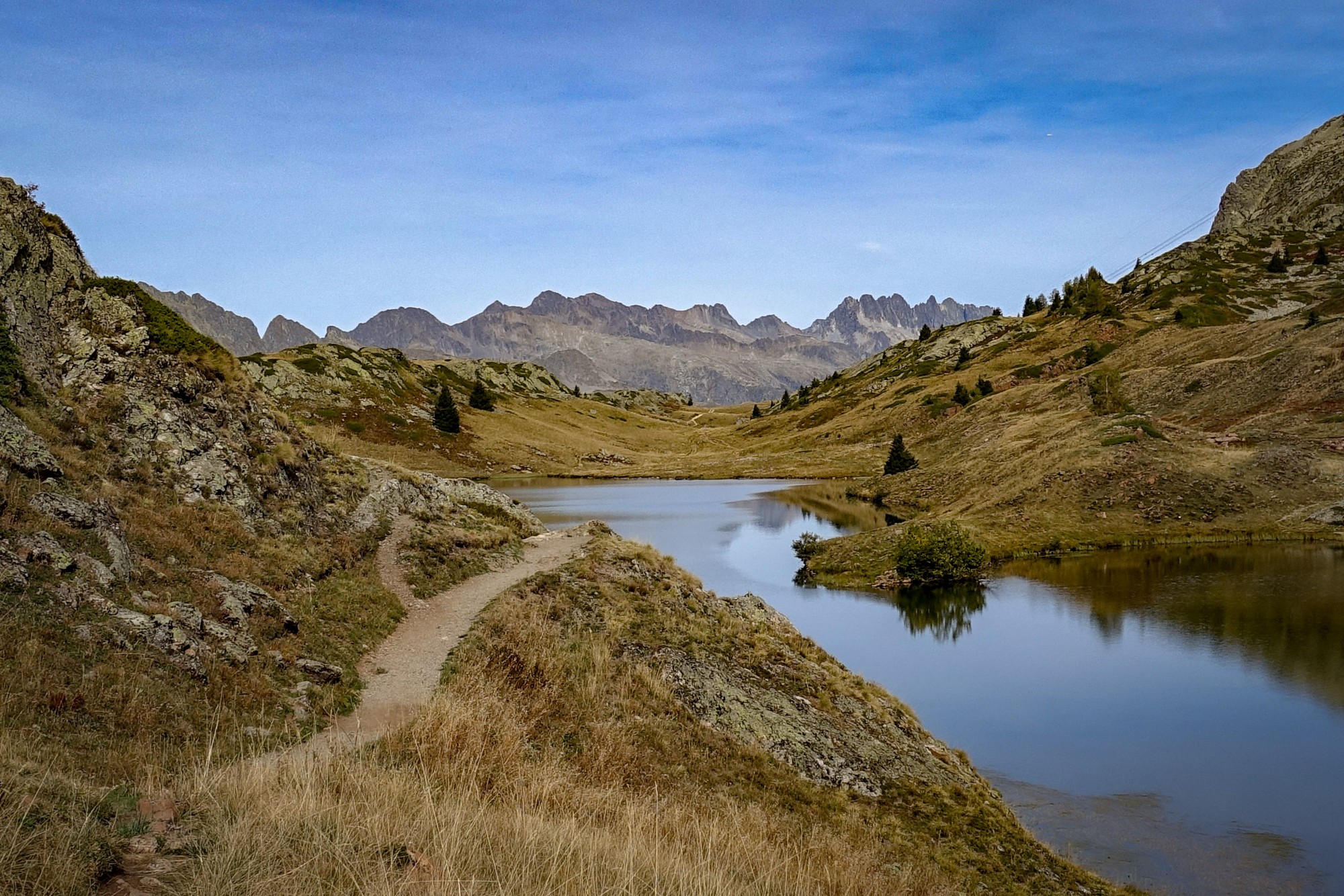
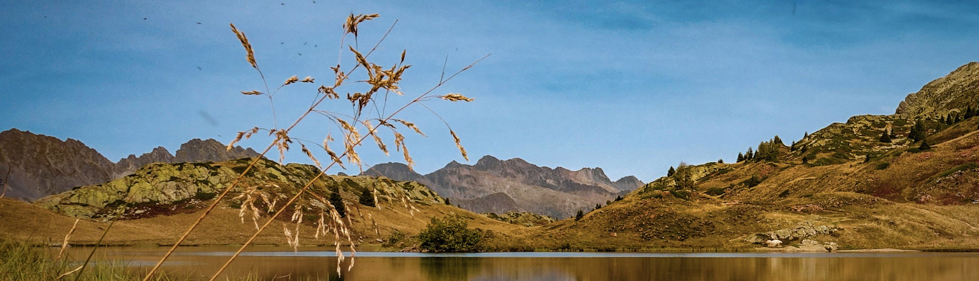
There’s a car park and a few buildings at the top, but they aren’t too intrusive, and beyond them is wild mountain scenery, the rocks painted in shades of brown and the pale green of the lichen that grows at these altitudes. Lac Besson is at 2,078 m.
I left my bike beside a picnic table and went exploring on foot, getting some shots of the lake.
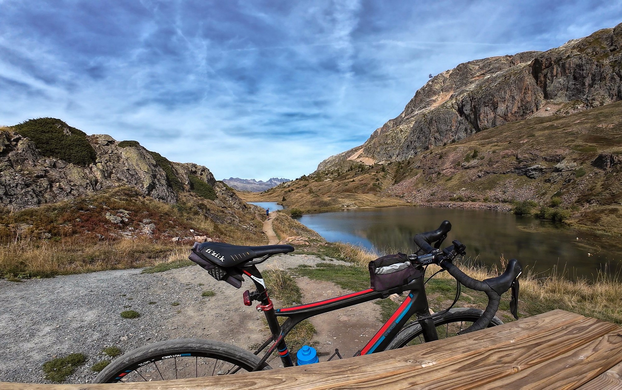
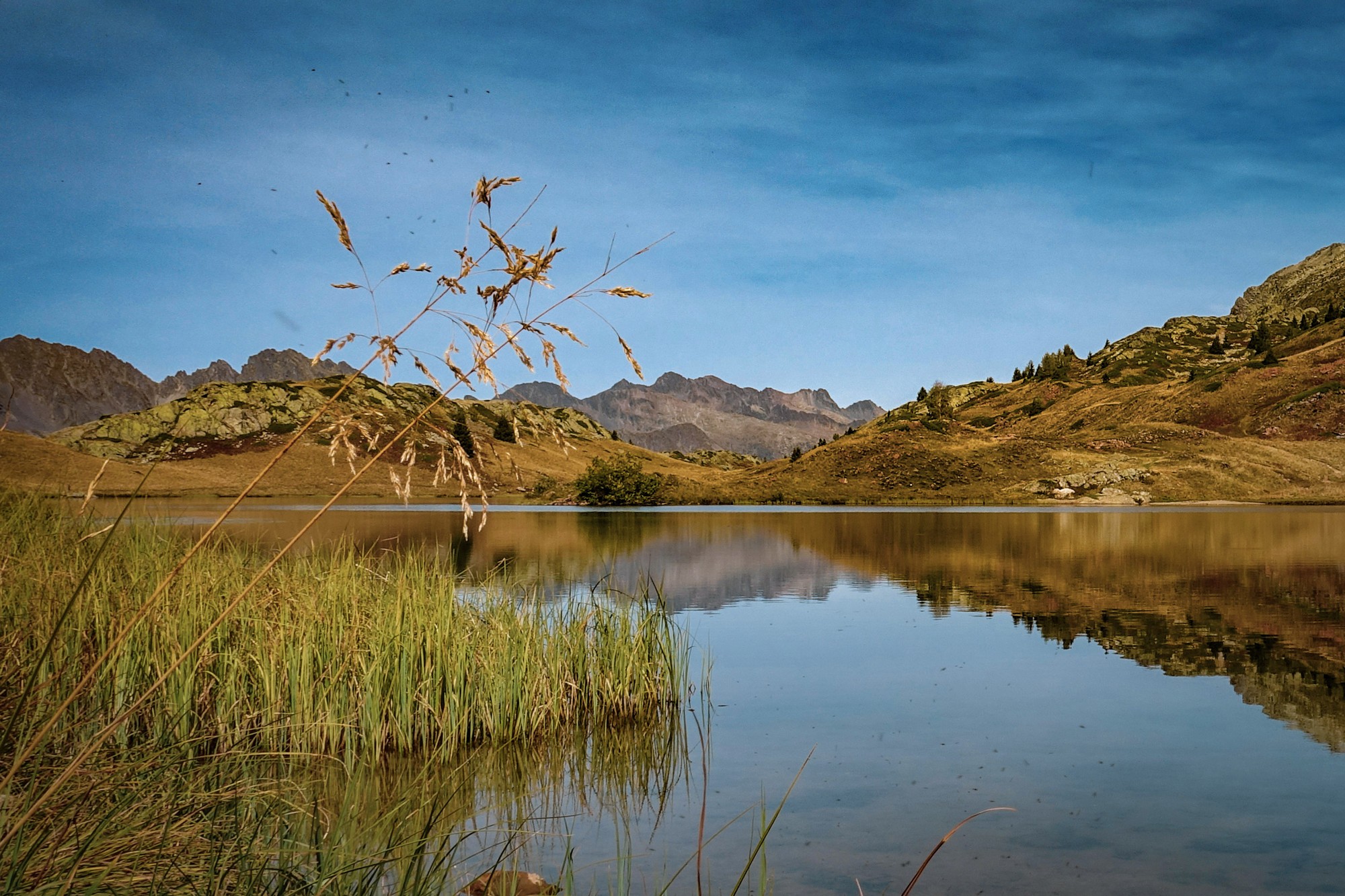
While I was taking some low-level shots beside the water, another cyclist walked down and we started chatting.
I ended up talking with Jean-Jacques for more than an hour, about all manner of things including the French economy and even politics, but mainly cycling. We talked about the Club des Cent Cols, about which he knew quite a lot, and various climbs around the Alps.
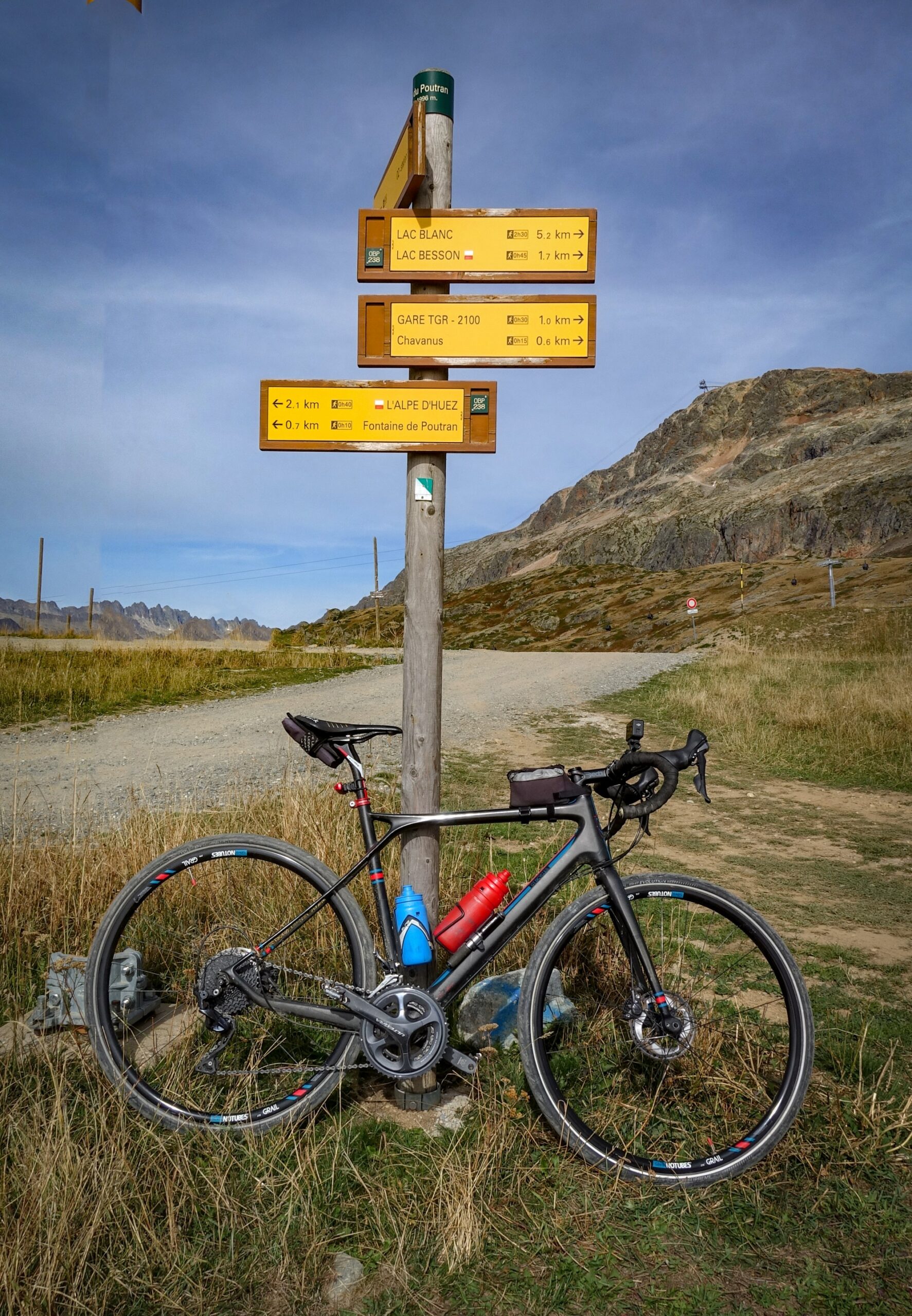
I mentioned that I was keen to claim Col du Poutran but hadn’t seen it. He told me we’d already passed it on the way up.
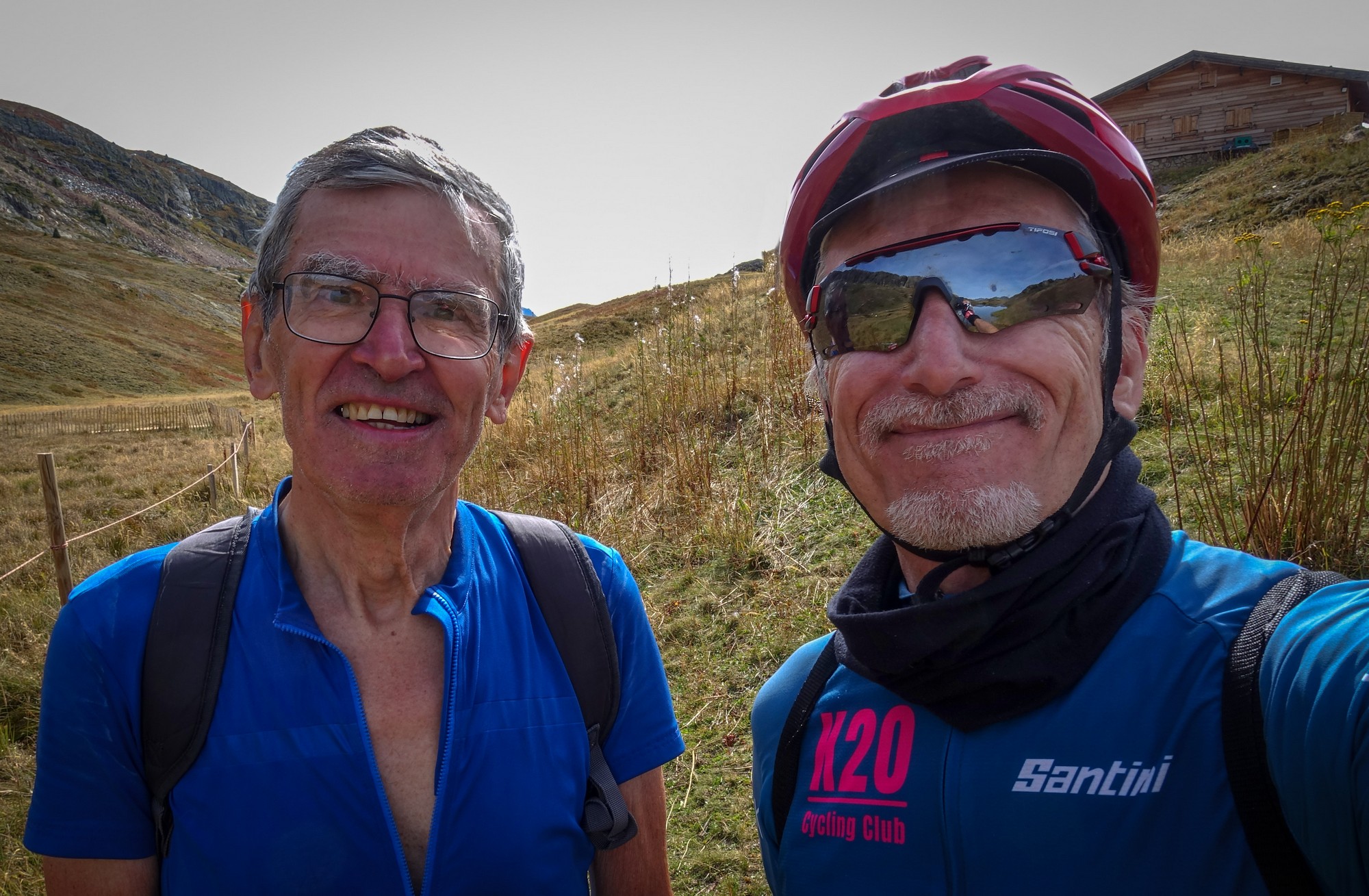
Back at the picnic table I ate the rest of my sandwich and made some notes while taking in the lovely mountain-lake view.
I put my rain jacket on and rolled my arm warmers back up, having pushed them down earlier on the Alpe d’Huez climb. It felt far too warm to be dressing like that while I was standing in the sunshine, but I knew the air would soon feel very different once I started descending.
And so I headed back down.
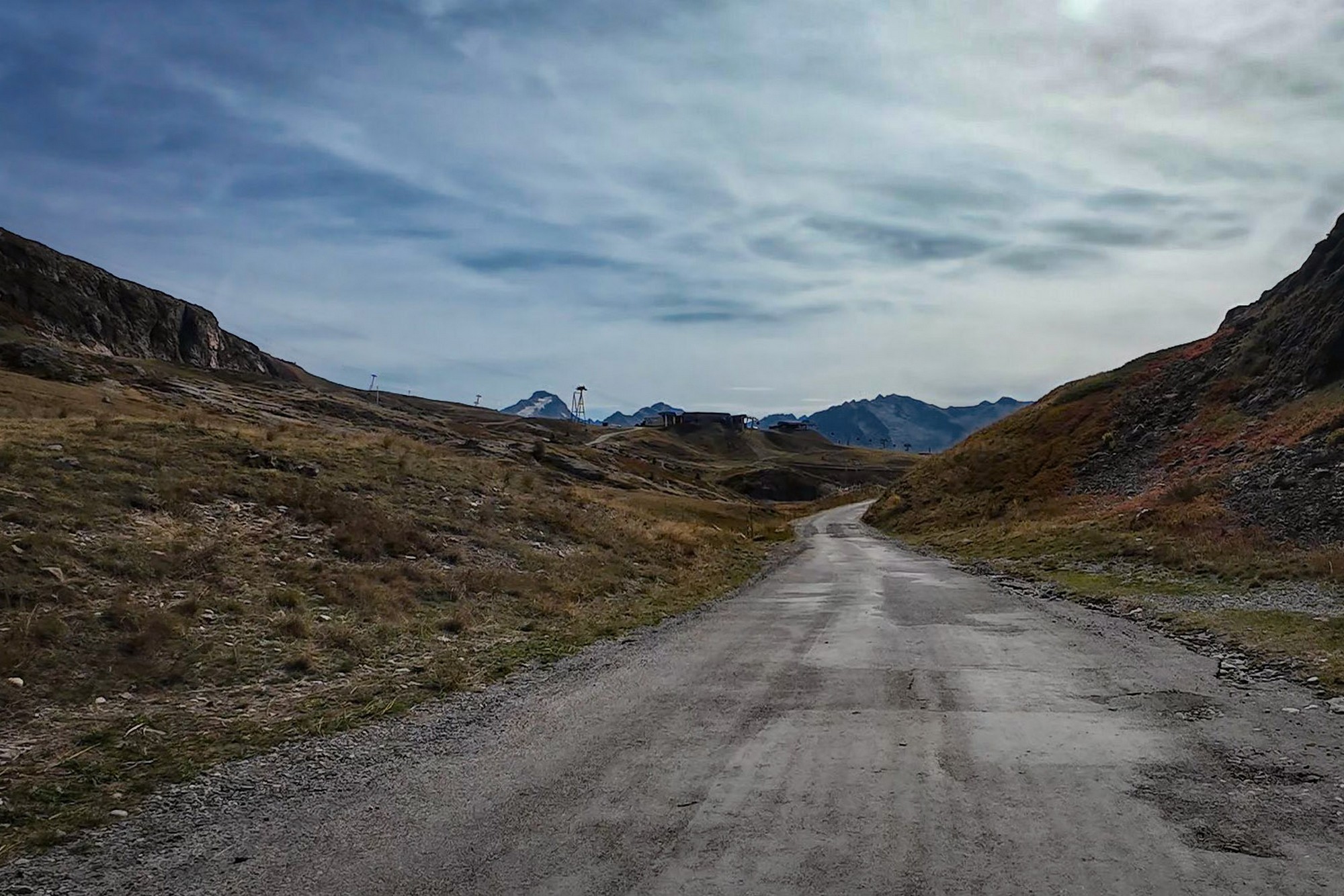
About a mile from the lake there was a spectacularly deep view to my right towards Oz. I got the drone out and filmed it, although the footage didn’t fully capture the scale of it.
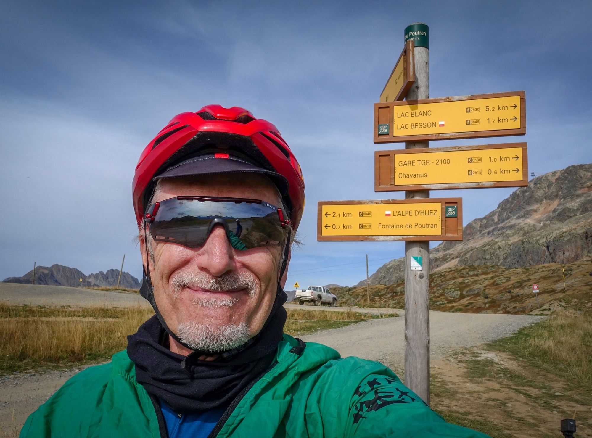
A little further on I saw Jean-Jacques standing beside the road and thought: “I bet he’s standing by the Col du Poutran sign, waiting to point it out to me.”
And he was.
I got a col photo and, after another brief chat, we said goodbye again before I continued downhill.
I didn’t stop on the descent.
I was back down at Le Bourg-d’Oisans 25 minutes later. It was obviously much warmer down in the valley, but I couldn’t be bothered to remove my jacket.
The road was still quiet, but as I approached the closure I saw a queue of traffic queueing at the ROUTE BARRÉE sign and realised they were waiting for the road to reopen.
I felt a bit tired on the remaining steepish sections of the D530 back to the van, which wasn’t really surprising considering I’d just climbed Alpe d’Huez non-stop and then added another couple of hundred metres of ascent up to the lakes.
The earlier surprise of not being able to ride to Col du Jandri had been forgotten, replaced by the satisfaction of another great day’s cycling and another col ticked off my list.
The weather had been almost perfect for the steep climb to Alpe d’Huez, and the place itself had been remarkably quiet on this late-September Thursday — just the way I prefer it, and a pleasant contrast to the mayhem of my last visit.
Gallery
Click to enlarge / see slideshow