
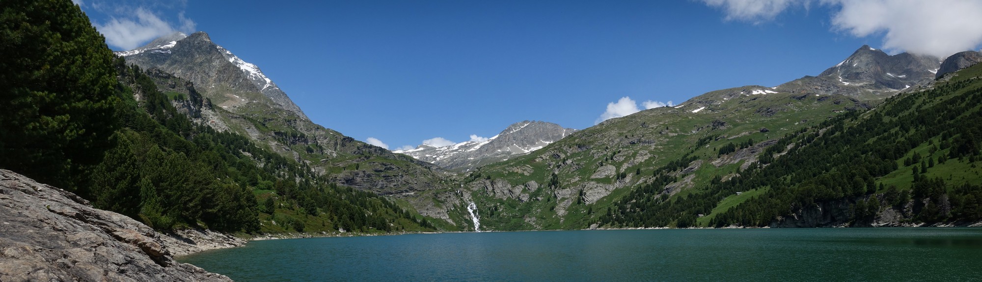
Distance: 25 miles. Elevation: 3697 ft.
Today's ride featured two dams: Barrage de Plan d'Aval and Barrage de Plan d'Amont. There's an interesting connection between this ride and my previous one to Col du Plan du Lac, which I’ll come to below. This was my fourth and final ride from Termignon (part of the Val-Cenis commune).
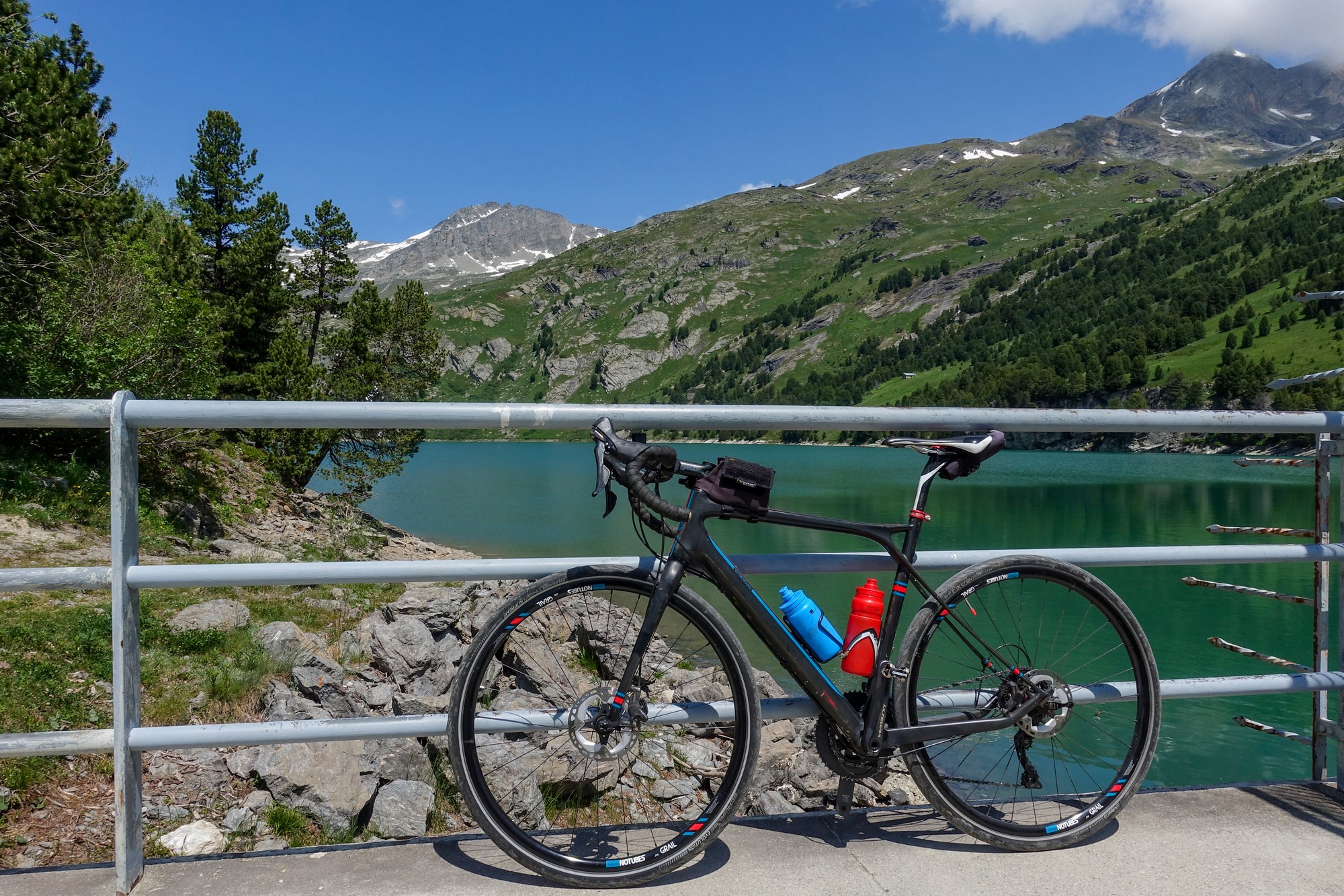
The weather forecast looked better for the morning so I hastily switched all my stuff — pedals, tools, light and so on — from my Colnago to my gravel bike and got out the door at around 10:15. I wore my 'civvy' shoes because of the gravel at the end of the route, and I carried my backpack containing my drone, sandwich, etc. It was cooler than on recent days, with the temperature hovering in the low 20s°C.
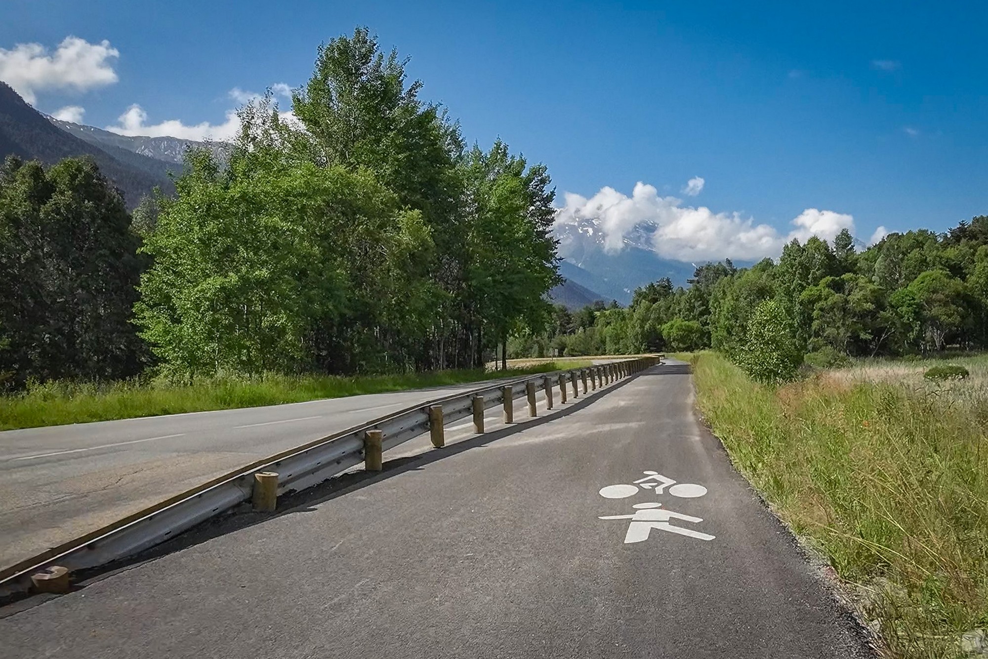
My first port of call was to the water trough in the village, where I topped up my bidons with cold fresh water. For the first time, my route took me south along the Maurienne valley. An excellent cycle path — separated from the road by armco — got me all the way to Sollières, where I turned away from the main road and headed into the mountains.
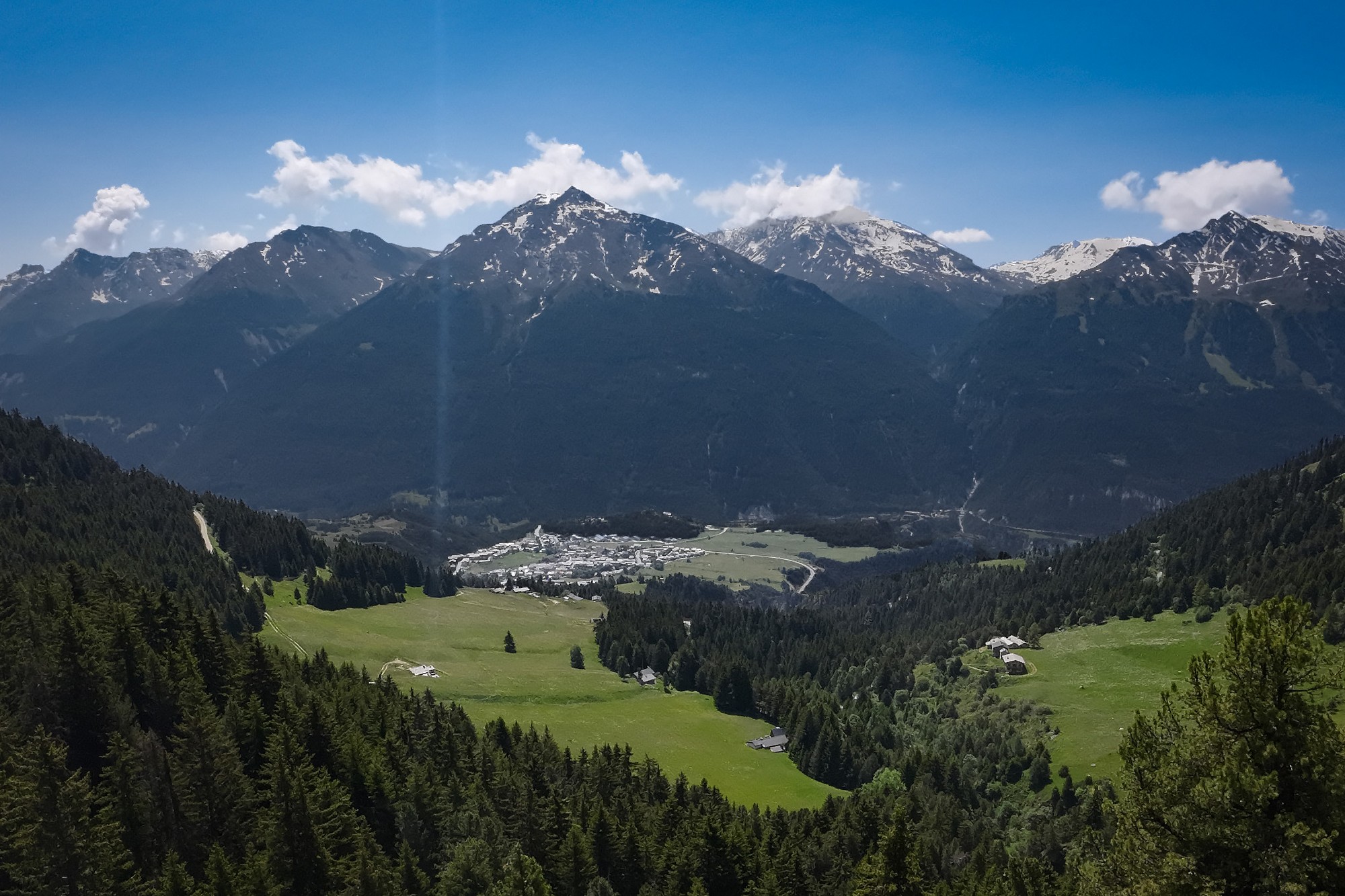
A couple of miles of climbing brought me to the village of Sardières, after which the road largely levelled out for the next three miles through a mixture of forest and pasture. There was hardly any traffic. I arrived at the ski town of Aussois to hear the church bells chiming 11 o'clock. I was bang on the hour as usual!
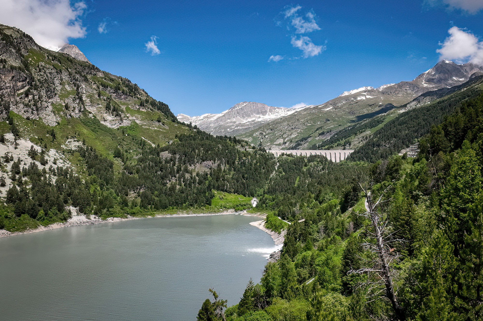
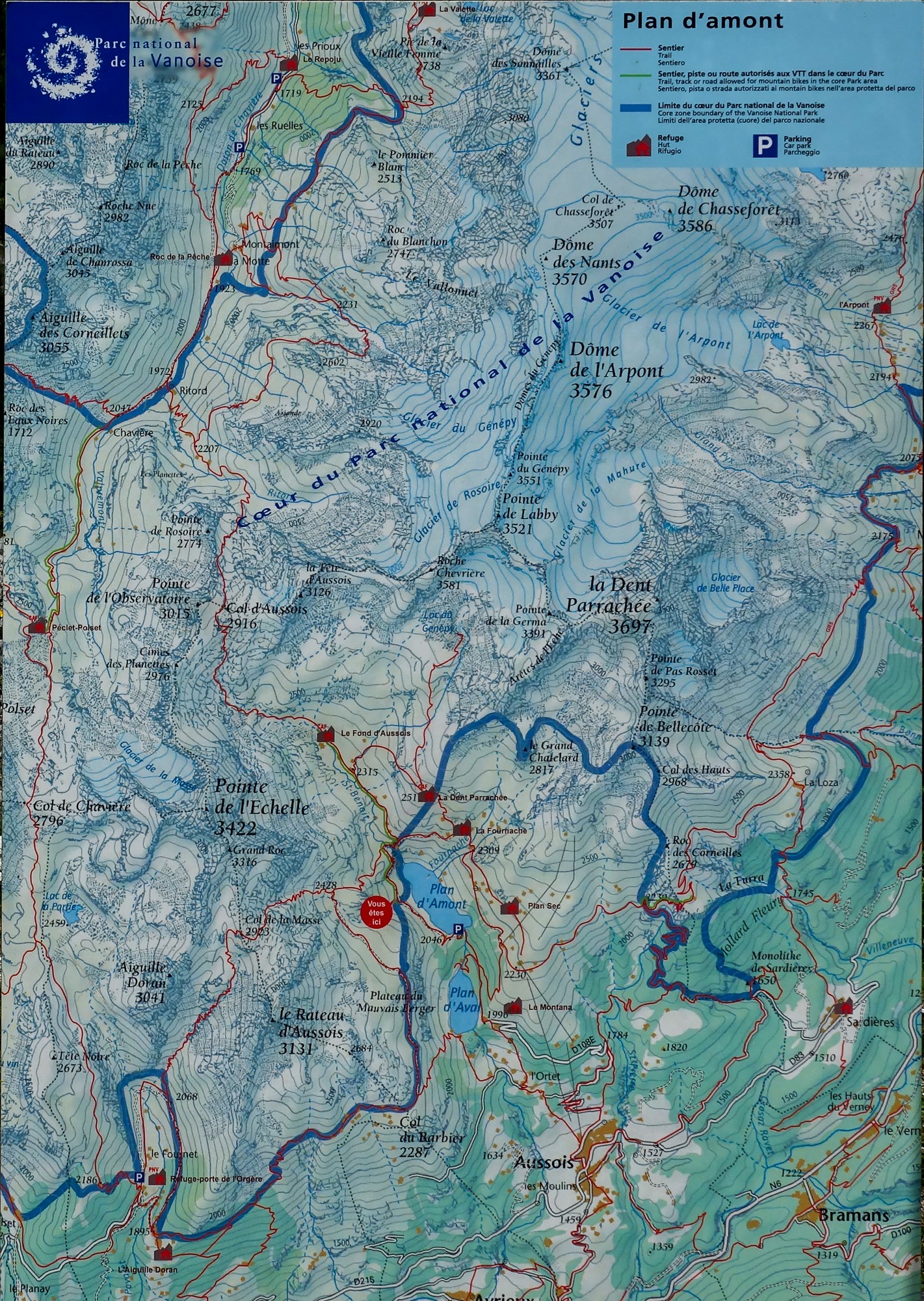
At the north end of Aussois, the three-mile climb to the first of the dams — Barrage de Plan d’Aval — begins, averaging over 9%. It took me around 45 minutes, all in second gear and without stopping. The road levelled out as the dam wall came into view on my left.
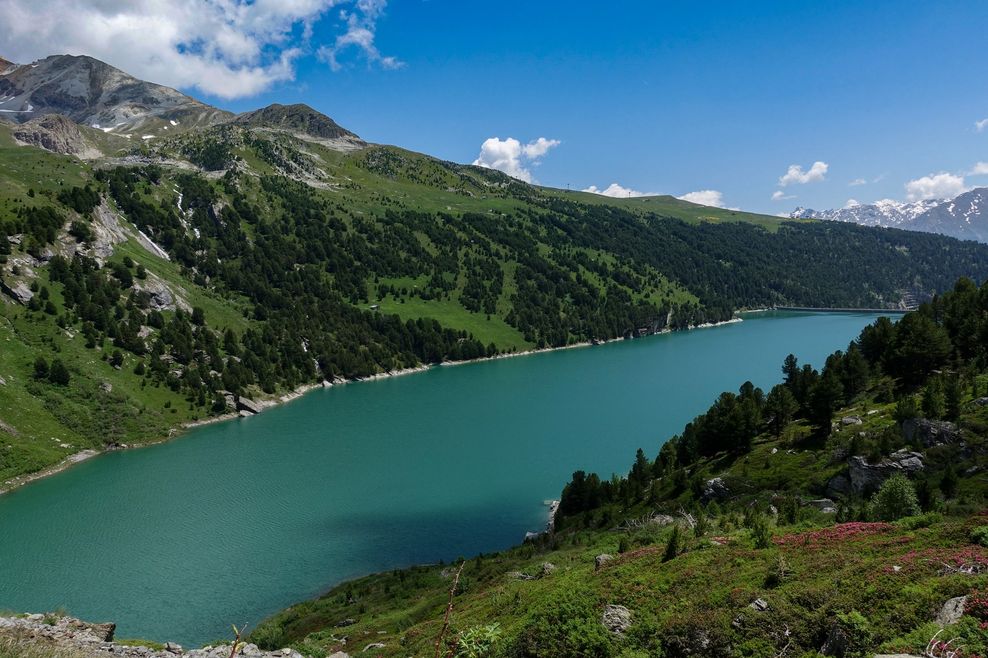
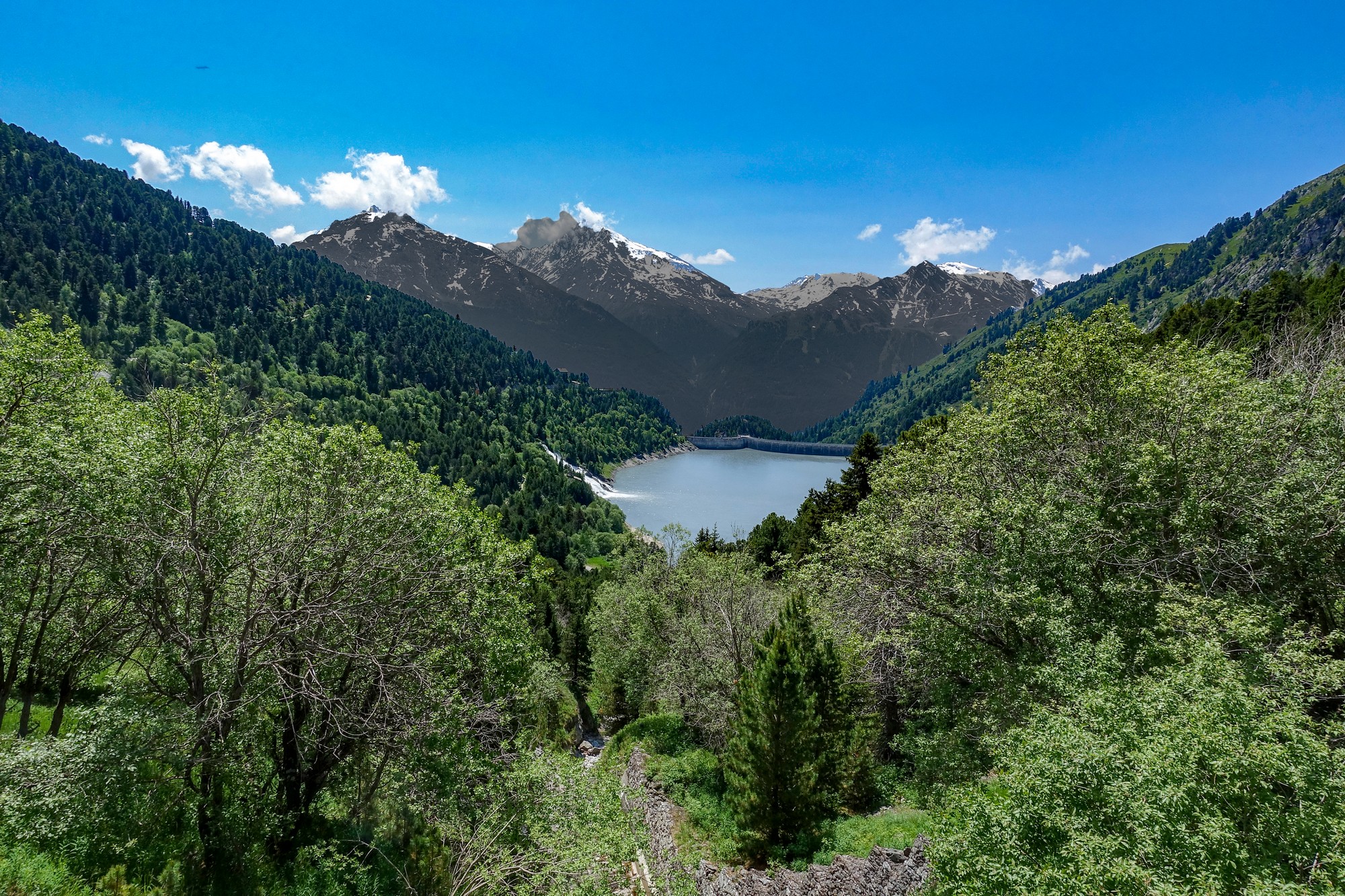
A rather uninspiring lookout area provides views over Lac de Plan d'Aval and back down to Aussois, 1,700 ft below. Off to the right the massive wall of Barrage de Plan d'Amont can also be seen.
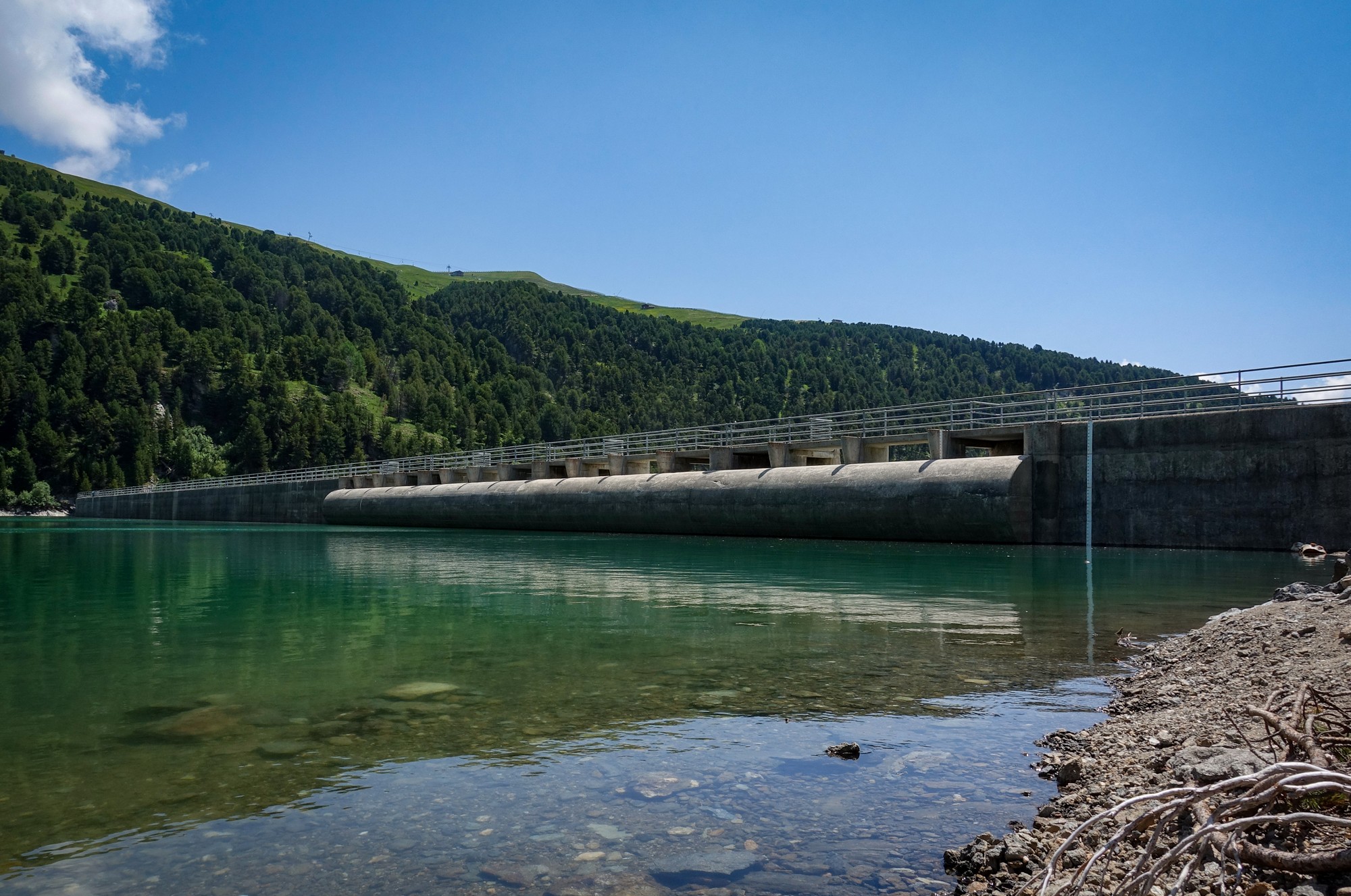
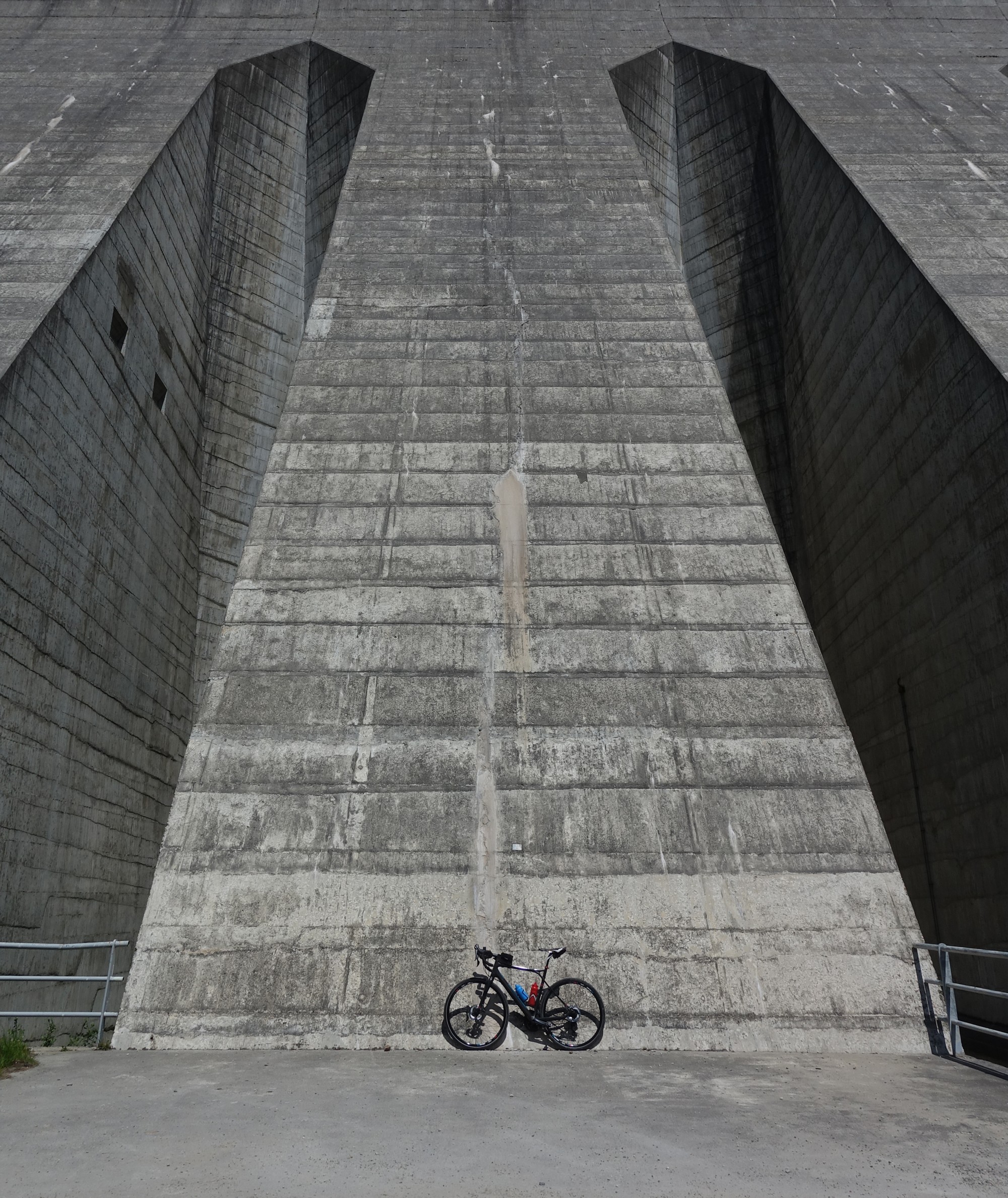
The road turns to gravel for the next half mile leading to the foot of the wall of Barrage de Plan d'Amont.
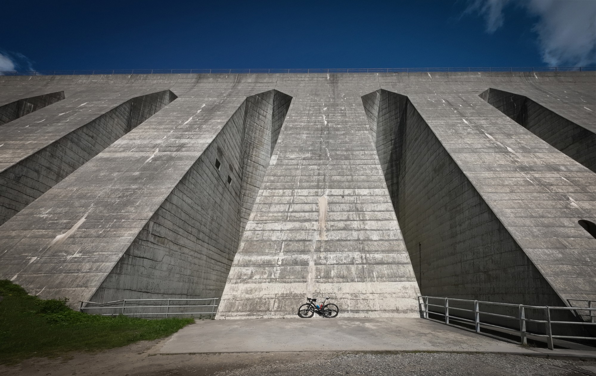
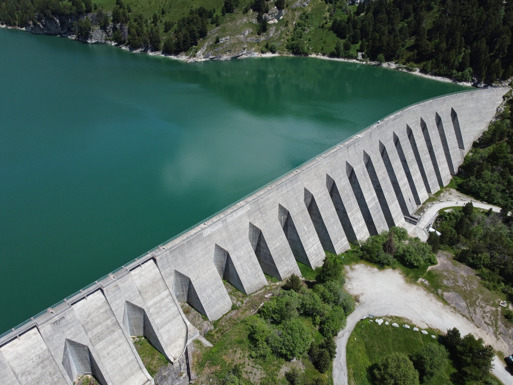
I'll let the photos and video illustrate the scale and magnificence of the structure. Suffice to say it was awesome!
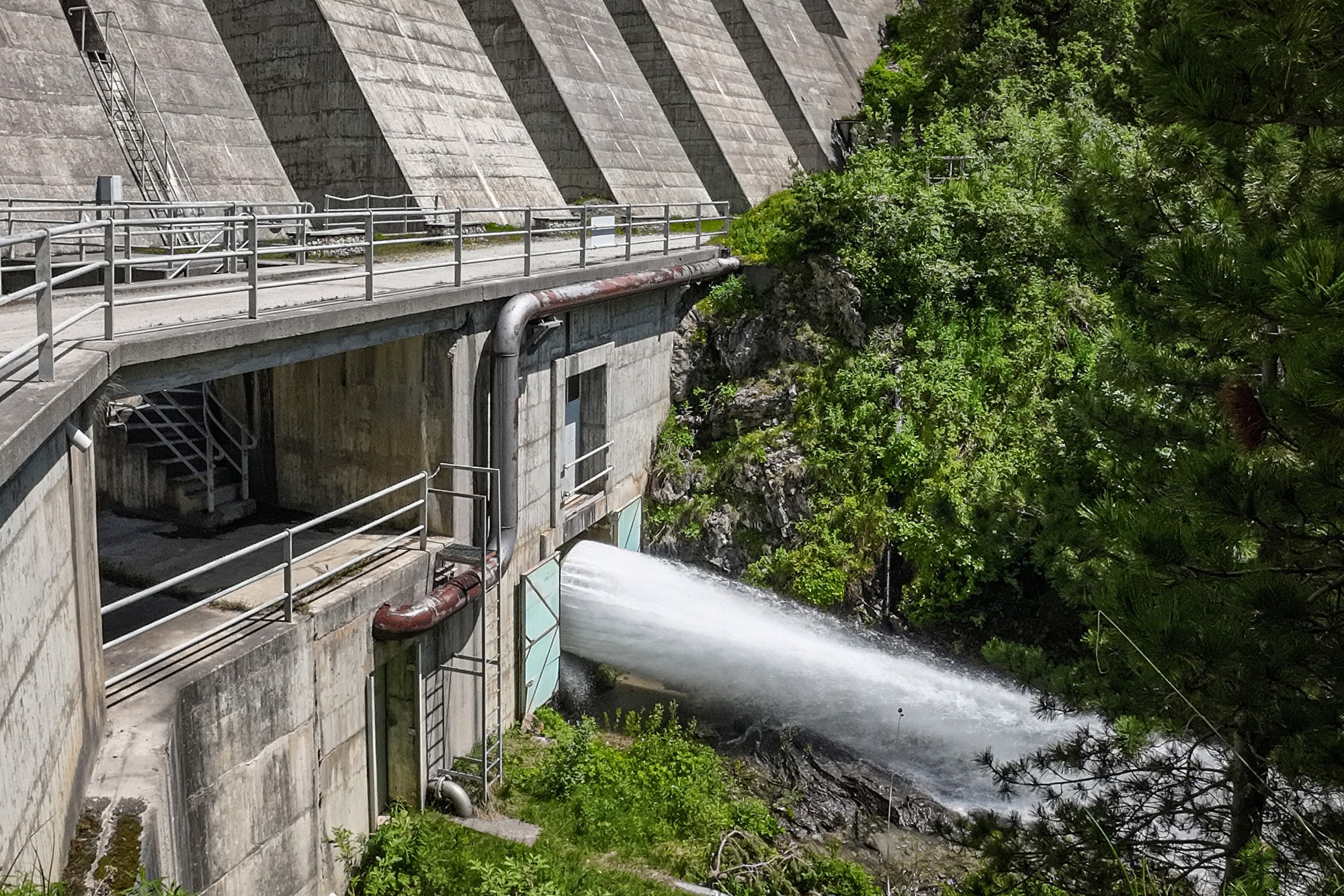
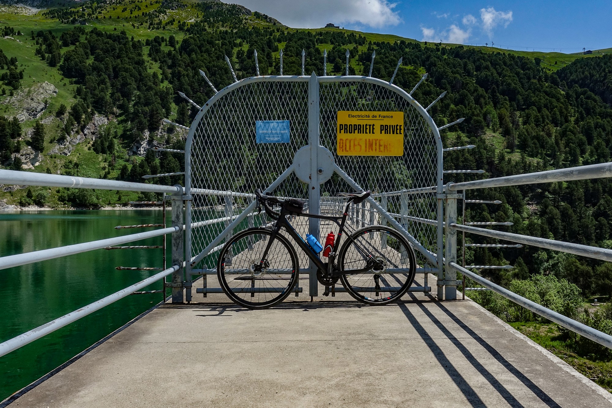
After getting a few photos I climbed the gravel track to the top of the dam wall.
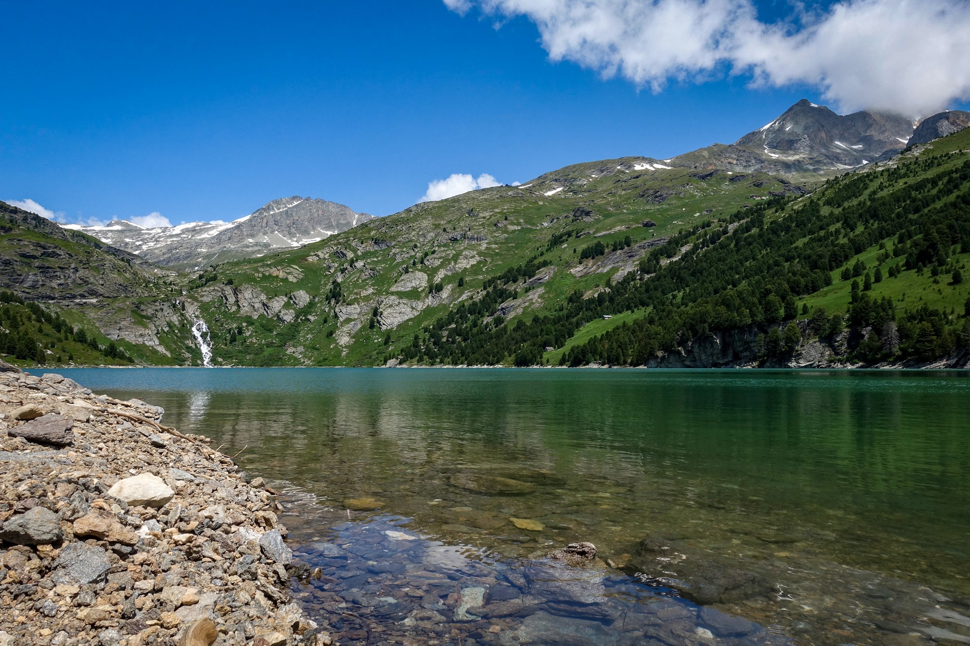
I walked down to the 'beach' and sat on a rock to take in the view.
Although there was a slight breeze, I flew my drone over the lake and got some great aerial shots. See the video further down the page for more drone footage.
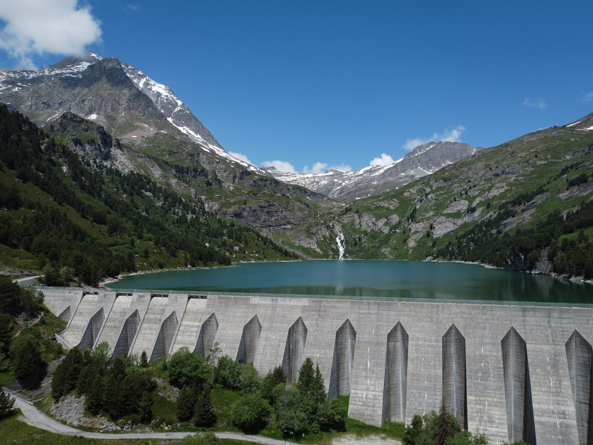
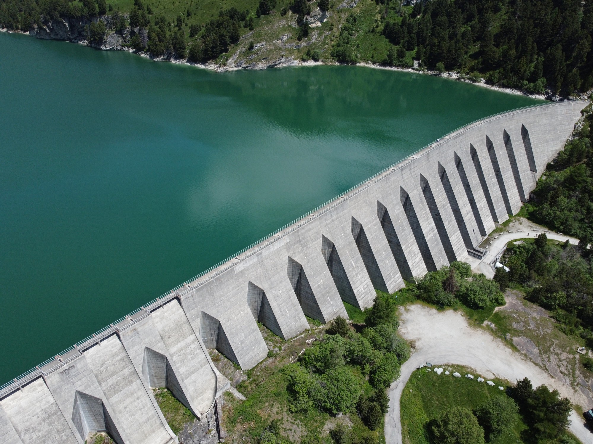
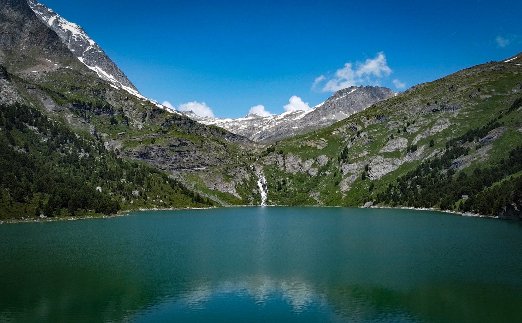

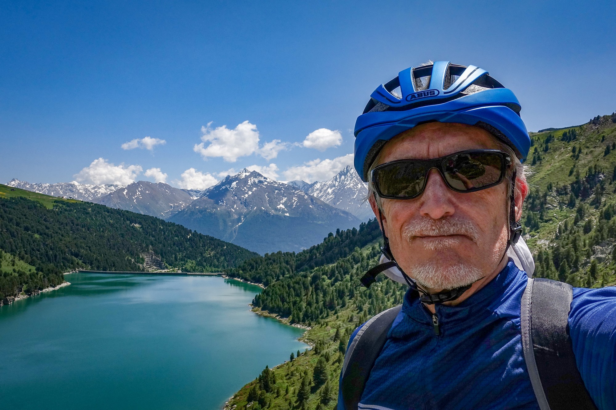
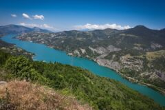
After eating my sandwich, I left the lake shoreline and started riding the gravel path that runs alongside—and gradually climbs above—the lake. Starting off as a gently rising smooth dusty path, with glimpses of the lake through the trees, it gradually gets rockier and much steeper at the north end of the reservoir with beautiful views back over the water.


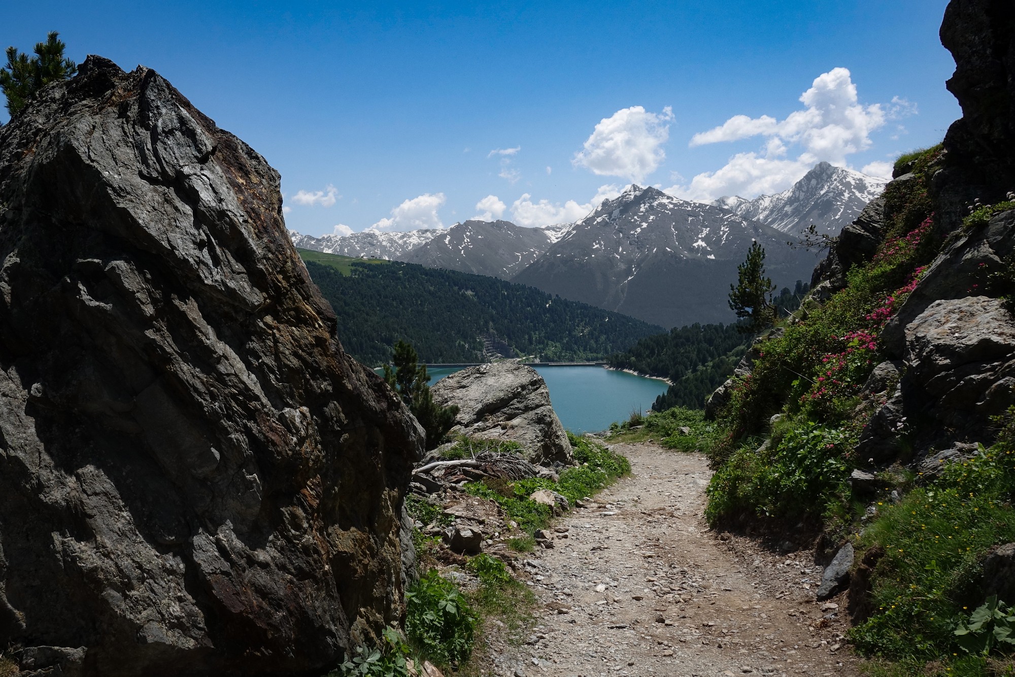
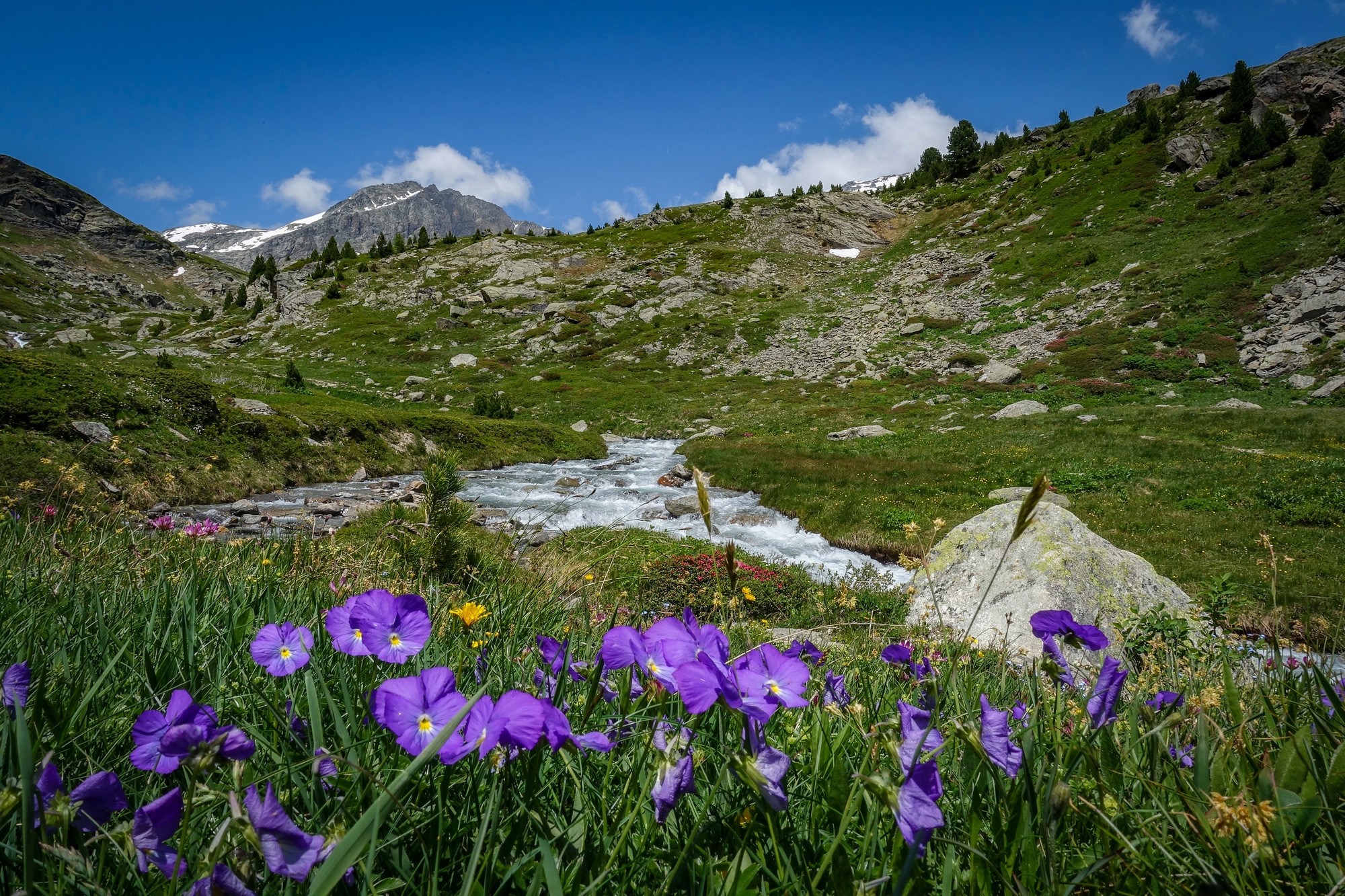
The final stretch was tough, with very rocky sections at 16% for a while. I walked some of it, but it was worth the effort. At the end of the cyclable track I found myself in a wonderful spot where a simple wooden bridge—Pont de la Sétéria—crosses the Ruisseau de Saint Benoit.
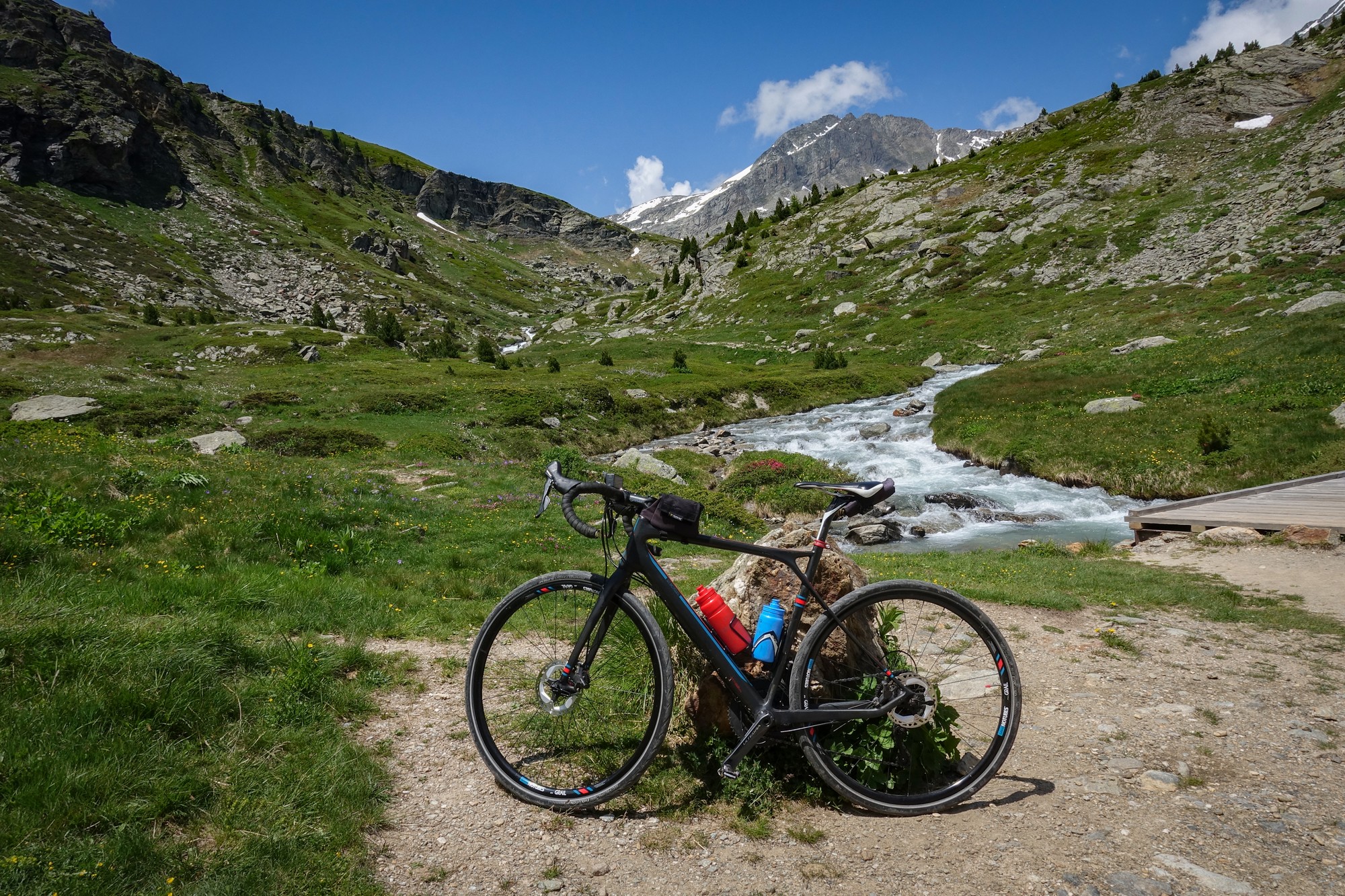
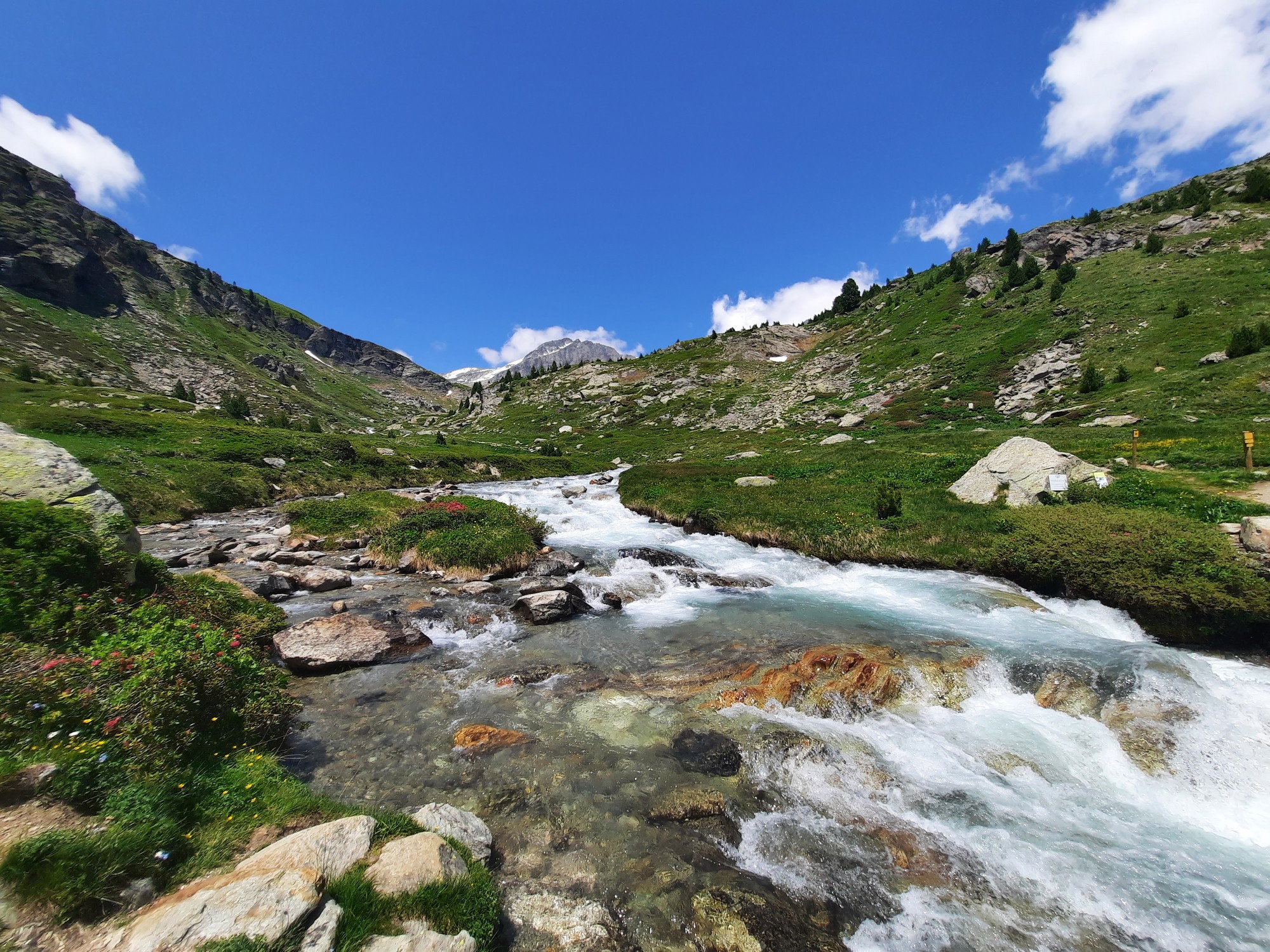
From that point, walkers and mountain-bikers can venture further towards Refuge de la Fournache and Refuge de la Dent Parrachée. I was content to have made it that far, and after twenty minutes taking photos and making some notes, I started the descent, knowing that I would be walking over some of the steep rocky parts.
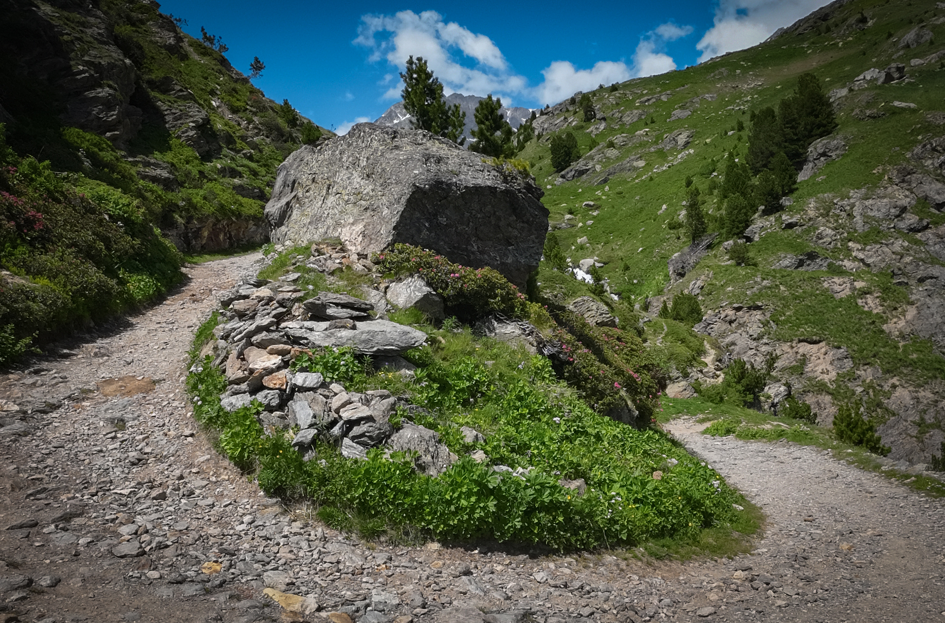
The vistas were so beautiful I kept stopping for photos anyway, suspecting that I'd probably already captured the same scenes on the way up.

Once I'd got back down to the car park by the Barrage de Plan d'Amont, it took me fifty minutes to ride back to Termignon, including another five minutes of photo ops. The day had warmed up and I didn't need my rain jacket for the descent. I stopped off once more at the village water trough to top-up my bottles with cold fresh water before returning to the van.
So it had been yet another amazing adventure in the Haute Maurienne. You know it's a brilliant ride when you can't stop taking photos. I'm glad I flew my drone despite the slight wind. And it had been a good call to wear my civvy shoes.
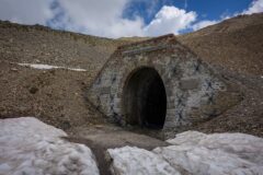
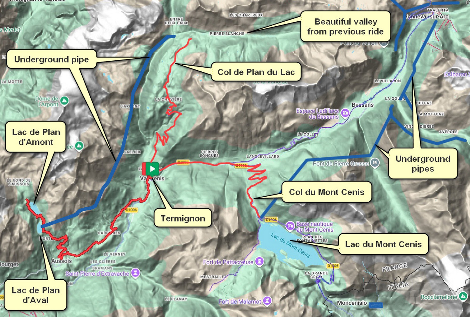 After today’s ride, a look at the maps revealed something rather striking: an EDF galerie hydraulique—an underground transfer gallery—runs from the Leisse/Rocheure confluence at Entre-Deux-Eaux (near the end of my previous ride) all the way to the Plan d’Aval reservoir featured today. In other words, a 16.8 km (10.5 mile) subterranean conduit links the two rides. Along its route, it also gathers water from several torrents draining the southern side of the Vanoise massif.
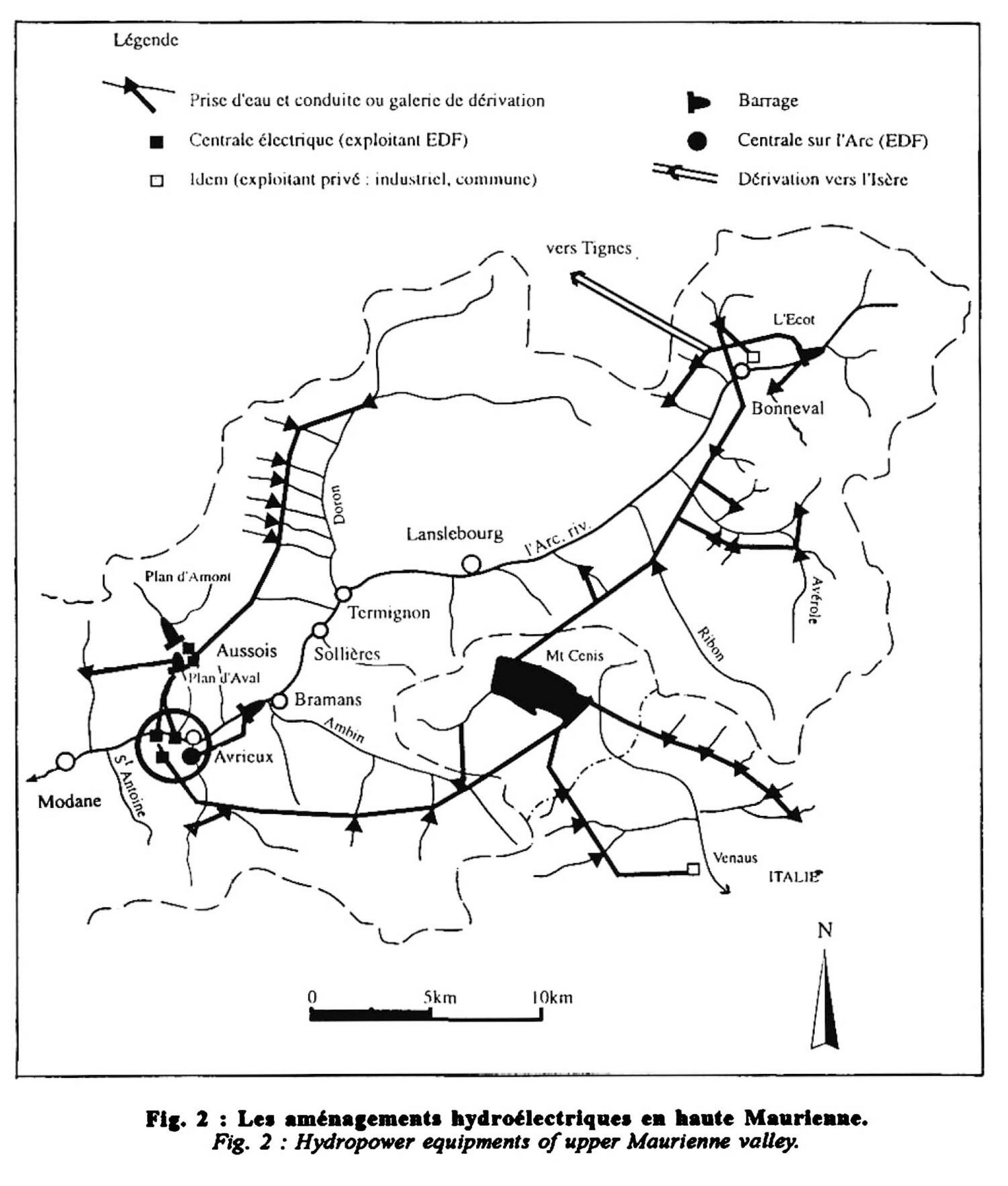
 Eventually I tracked down a couple of diagrams of the wider network of intakes, galleries, pumping stations and power plants all linked together. References to “transfer of stored water between the Mont-Cenis and Plan d’Aval reservoirs” began to make more sense, although the exact routing remains opaque. What is clear is that the Bois d’Aussois pumping station can lift water from Plan d’Aval back up to Mont Cenis, with an installed capacity of around 6 MW. So I assume it can also do the reverse.
The stone pine forest of Plan d’Amont
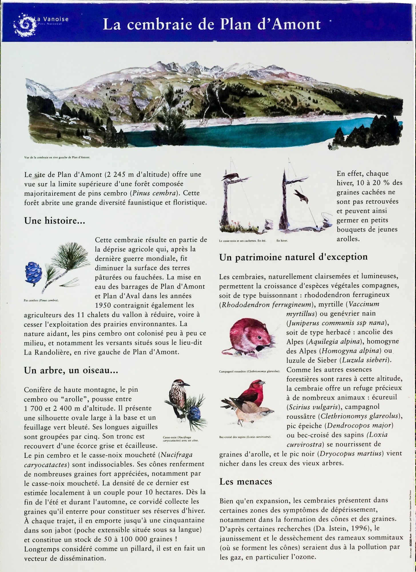
At 2,245 m, Plan d’Amont marks the upper edge of a forest dominated by stone pine (Pinus cembra), supporting a rich mix of plant and animal life.
This forest is relatively recent. After the Second World War, farming declined and pastureland was abandoned. The creation of the Plan d’Amont and Plan d’Aval reservoirs in the 1950s accelerated this shift, and the slopes were gradually reclaimed by stone pines.
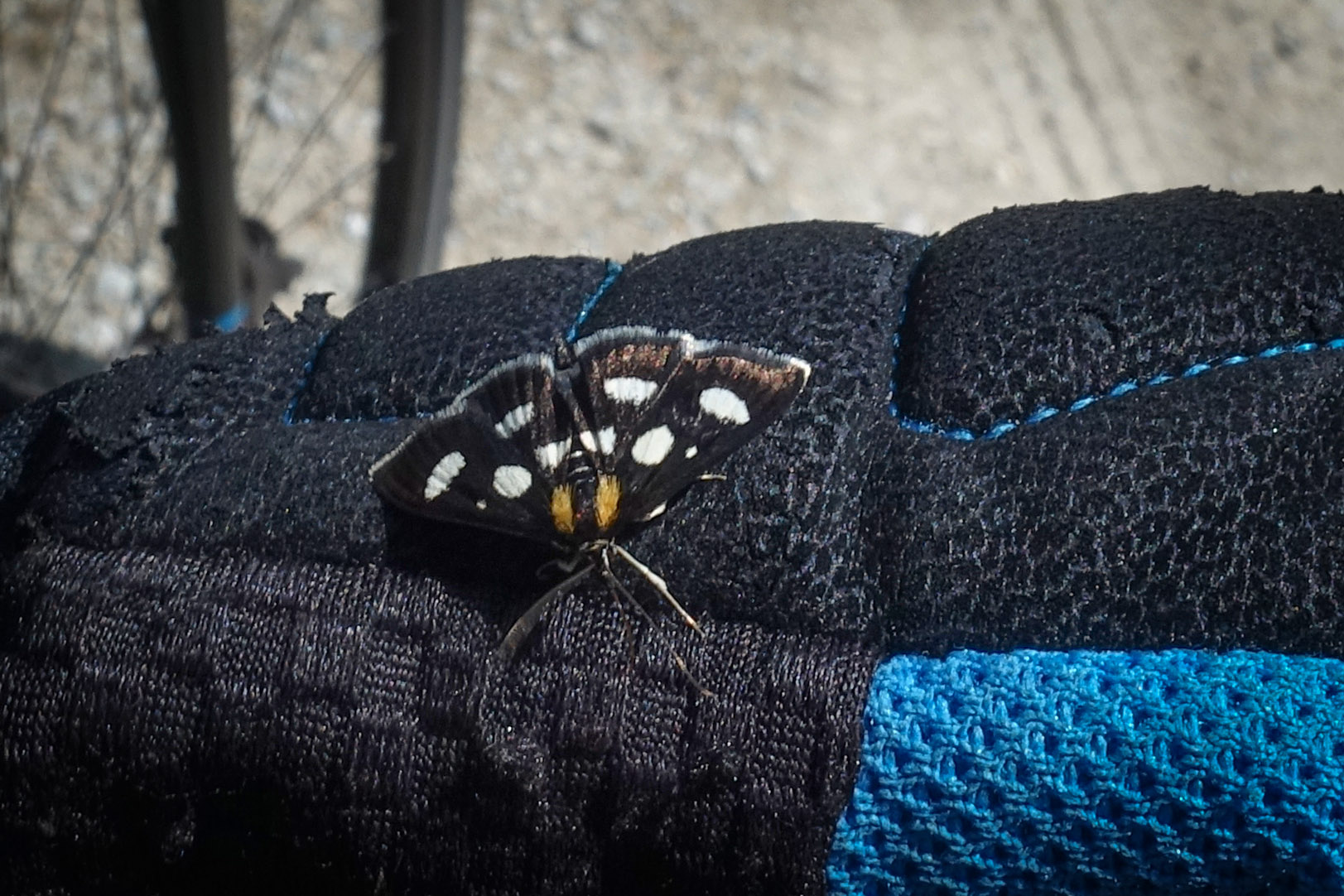
The stone pine and the spotted nutcracker go hand in hand. The bird harvests seeds from the cones and buries tens of thousands each year for winter. Crucially, around 10–20% are never recovered—effectively planting the next generation of trees.
Unlike dense forests, these pine woods are airy and allow other species to thrive. You’ll find shrubs such as rhododendron and bilberry, along with alpine flowers. The habitat also supports wildlife including squirrels, voles, woodpeckers and crossbills.
Despite expanding, some areas show signs of decline, particularly in cone and seed production. Air pollution—especially ozone—is suspected as a contributing factor.
Further reading
Construction du barrage de plan d'Aval - Absolutely charming old film about the building of the Plan d'Aval dam, with very evocative commentary (get YouTube to translate in real time)
Essai de déversement au barrage de Plan d’Aval - Video showing the test overflow of Barrage de Plan d'Aval
Behind the scenes at the EDF dams - Tourist video about the dams
Upper Maurienne Hydrelectricity - EDF page about the dams and the rest of the network
Gallery
Click to enlarge / see slideshow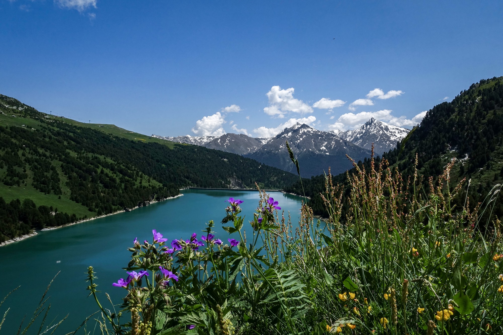


Vince, thank you for this new page on your Website…
Les photos sont superbe, les commentaires très précis et j’ai beaucoup apprécié la documentation que tu as réunie, aussi bien sur l’installation industrielle d’EDF avec ces barrages, conduites et usines, que sur la nature…
Merci pour tes gentils mots, Thierry. Je suis ravi que tu aies apprécié. Je dois avouer que je suis fasciné par toute cette “plomberie” des Alpes — barrages, galeries et conduites !