Distance: 61.7 miles. Elevation: 7826 ft.
Col de Pontis | Le Collet | Col Lebraut
Col de Pontis was the focal point of this 60-mile loop around Lac de Serre-Ponçon, with several other climbs along the way. Since my previous ride, I’ve driven 90 miles south via Italy — over Col du Mont Cenis and Col du Montgenèvre — to Embrun, at the eastern end of the largest artificial lake in France. Yet again, hydro-electricity has shaped both the landscape and my ride!
Looking at the map now, I couldn’t initially see why I hadn’t designed this route as a proper circumnavigation of Lac de Serre-Ponçon — starting due south of Embrun rather than heading west and crossing the Pont de Savines. Then I remembered that I had originally planned it — back in 2023 — to start elsewhere, and I’d just extended it to Embrun because that’s where I’m now based. I feel I missed an opportunity there for a ‘proper’ loop.
Today was going to be hot so I wore light kit, with no backpack or rain jacket. I carried all my food in my jersey pockets and had both bidons full. I set off at 09:20. There was barely a cloud in the sky.
I’ll let the video reports give most of the details for today. The ride started with a 3 mile 7% climb out of Embrun.
I descended to lake level and crossed the Pont de Savines. One thing of note about today is that there was more traffic than I’ve been used to lately. Lac de Serre Ponçon and the surrounding area is quite touristy.
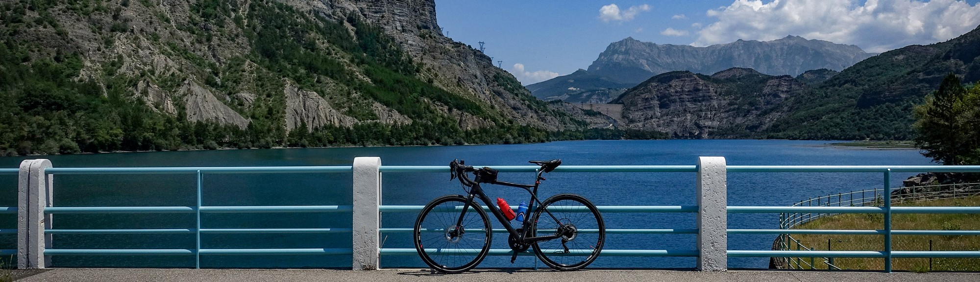
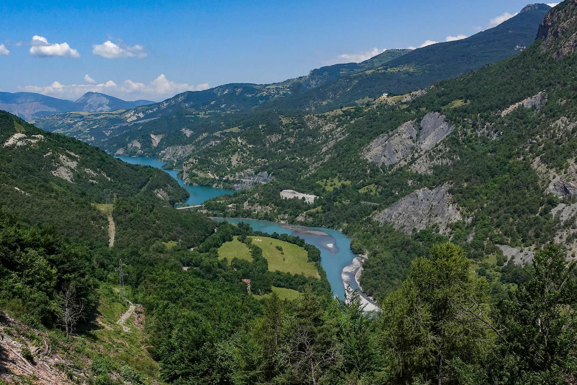
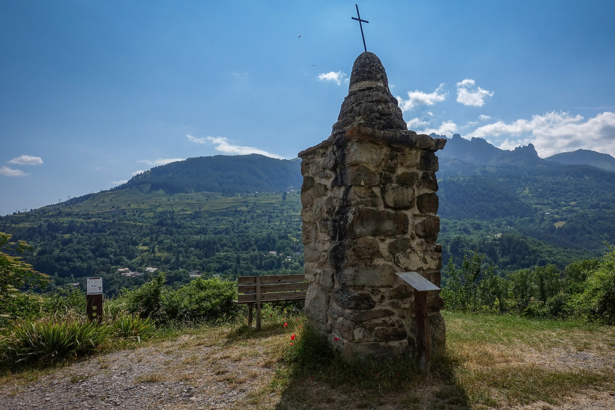
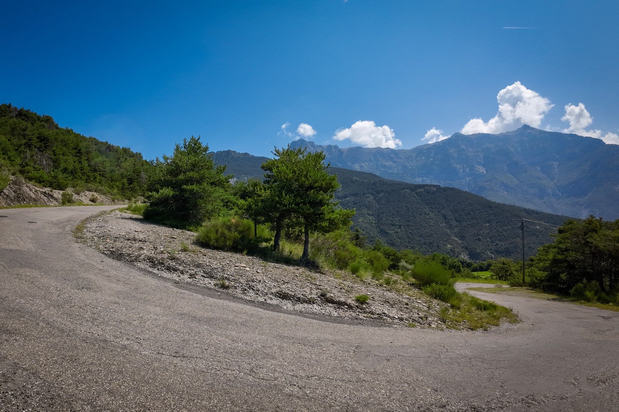
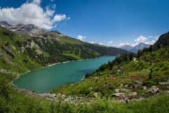
A few miles after crossing the bridge the road starts climbing, and then comes the turn off for Col de Pontis where the main climb begins. From there it’s just under three miles at nearly 9% average gradient to the col, but that doesn’t tell the whole story because the climb this side is very undulating, with sections of 12% and the last mile at over 10%. Whereas the climb from the other side is more consistently steep – 3 miles at a pretty solid 9.7%. Both sides are very quiet, traffic-wise, because there is no real reason to come this way. In fact this was probably the quietest part of the day. The views of the lake were superb, but I resisted the temptation to stop, preferring to get the climb done in one go.
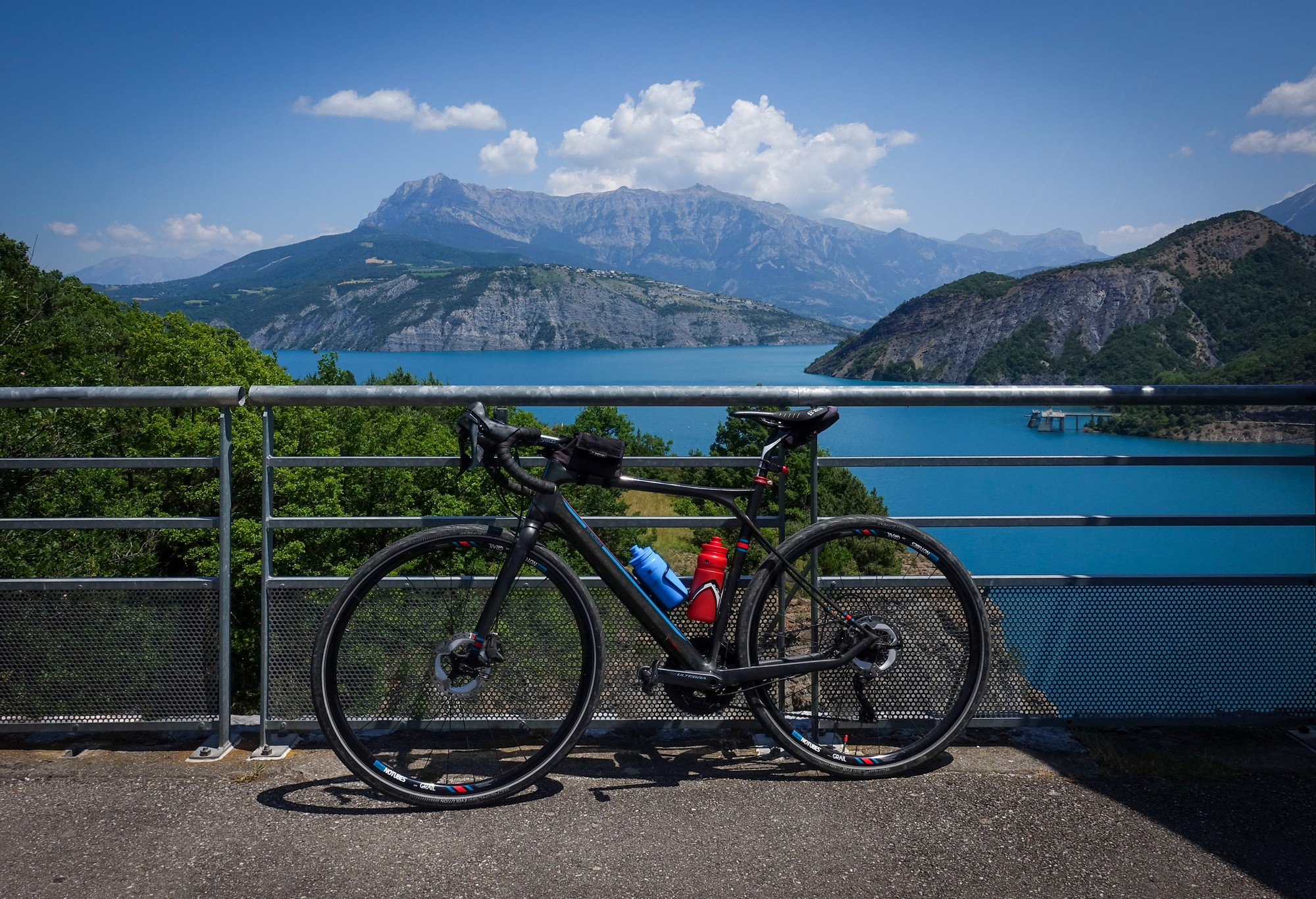
Throughout the whole of today’s ride were spectacular views of the omnipresent azure coloured lake, but I rarely stopped for photos, relying mainly on my action cam to capture the spectacle.
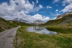
The steep southern descent from Col de Pontis took me back down to the main lakeside road. This led me across another smaller bridge spanning the River Ubaye, over the other side of which I climbed to meet the main D900 road from Barcelonette and the Ubaye Valley.
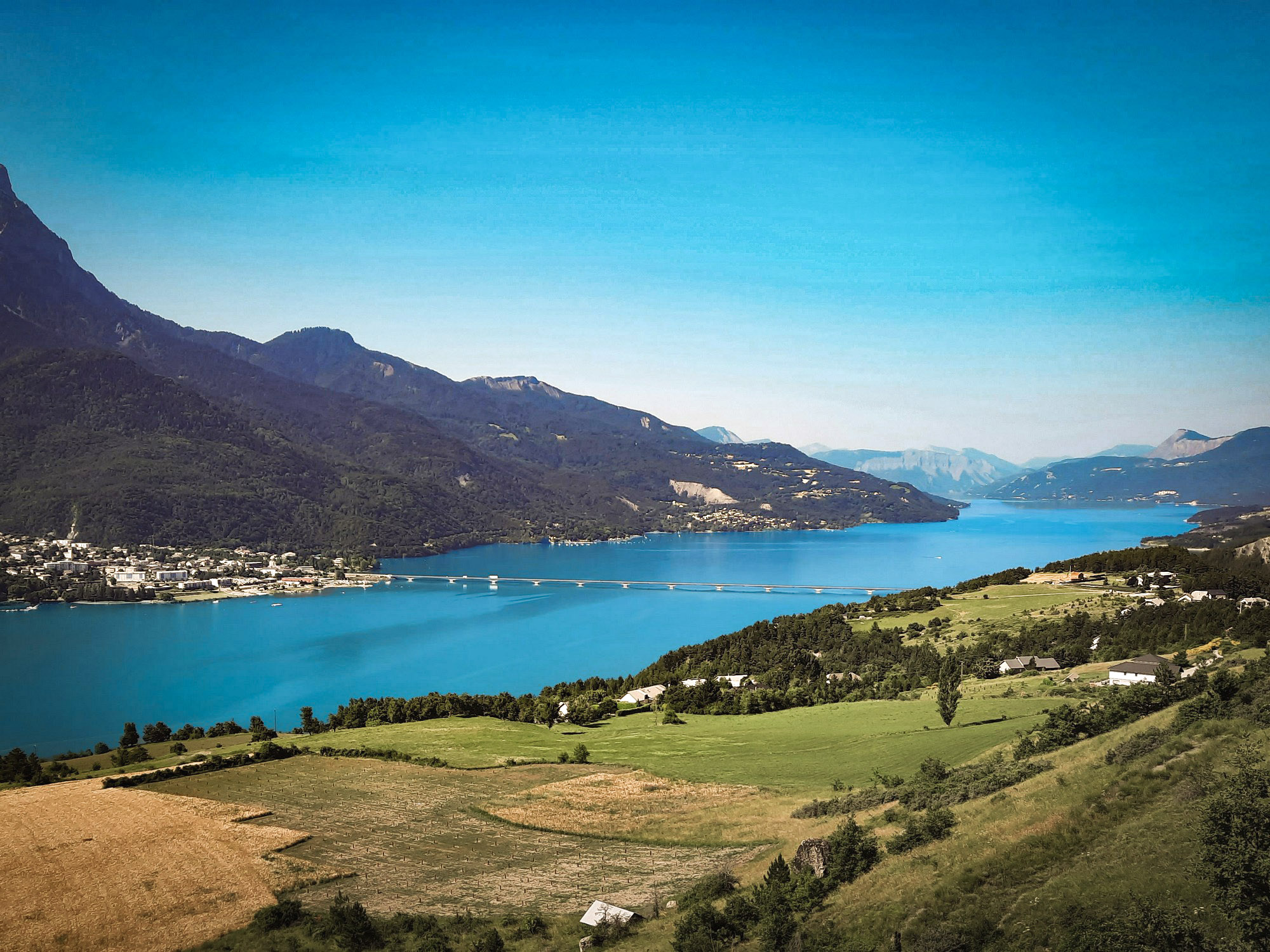
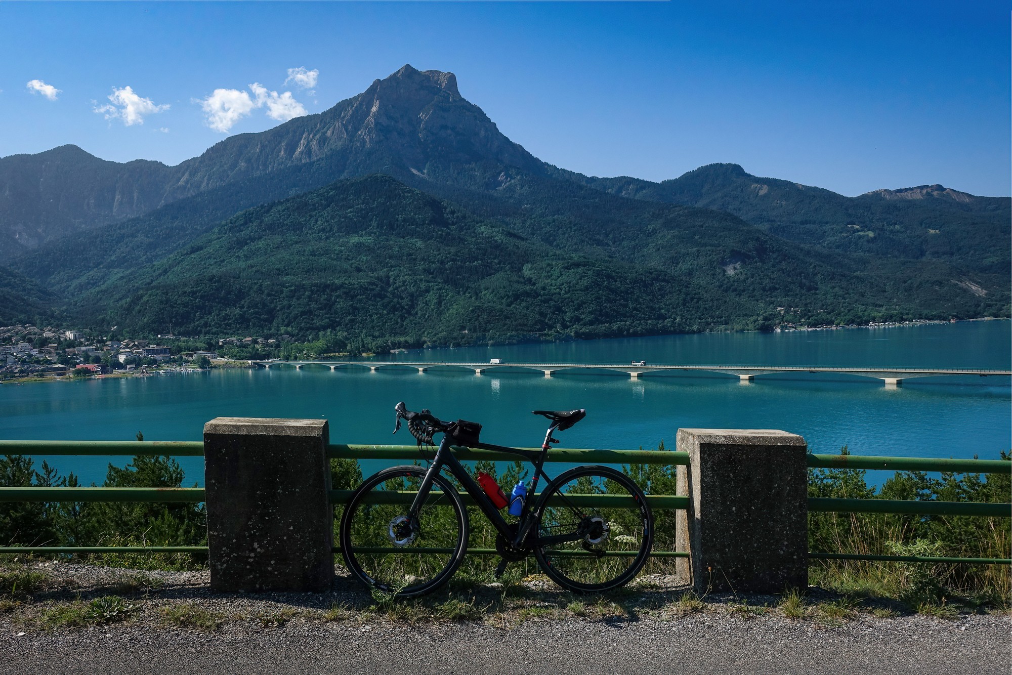
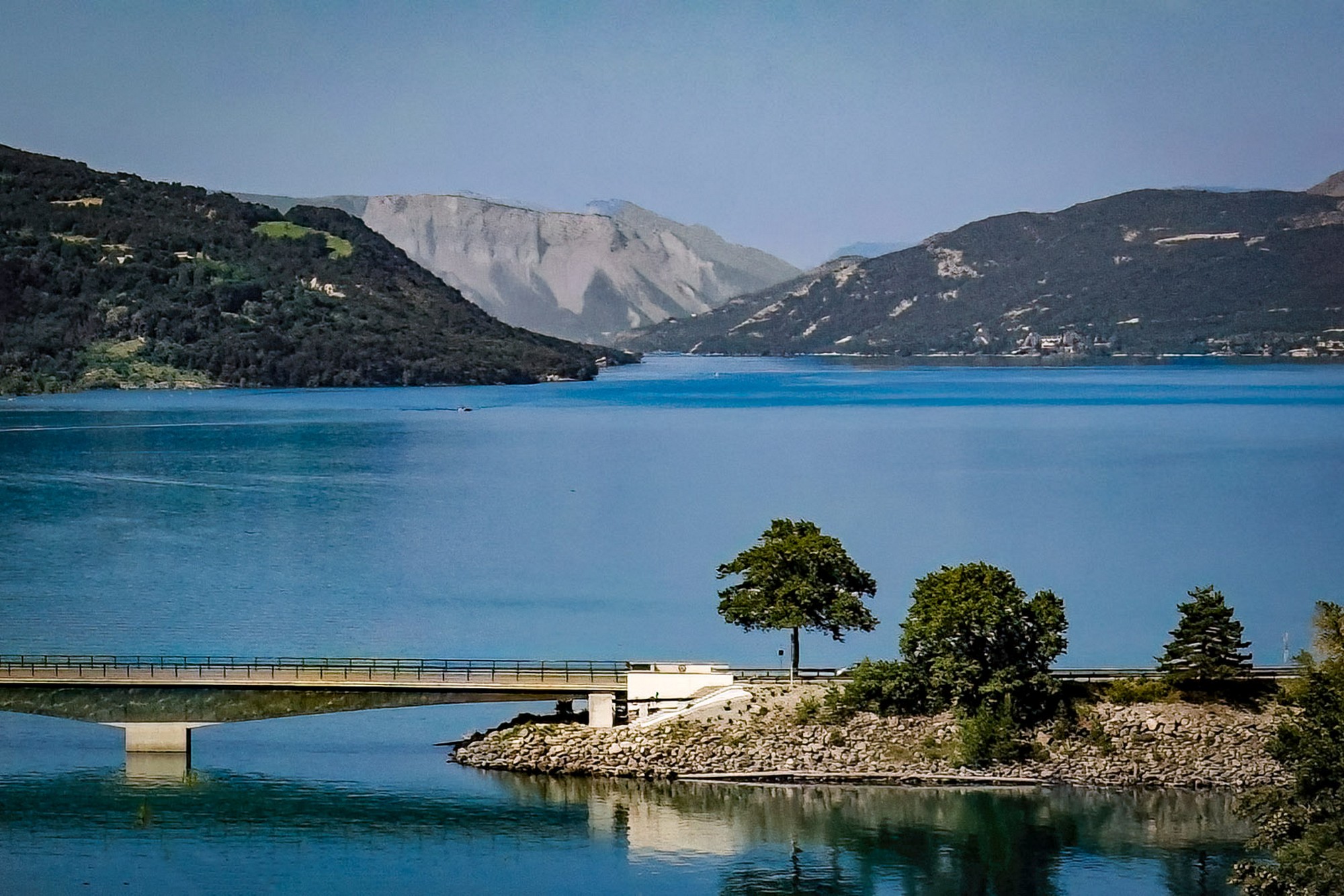
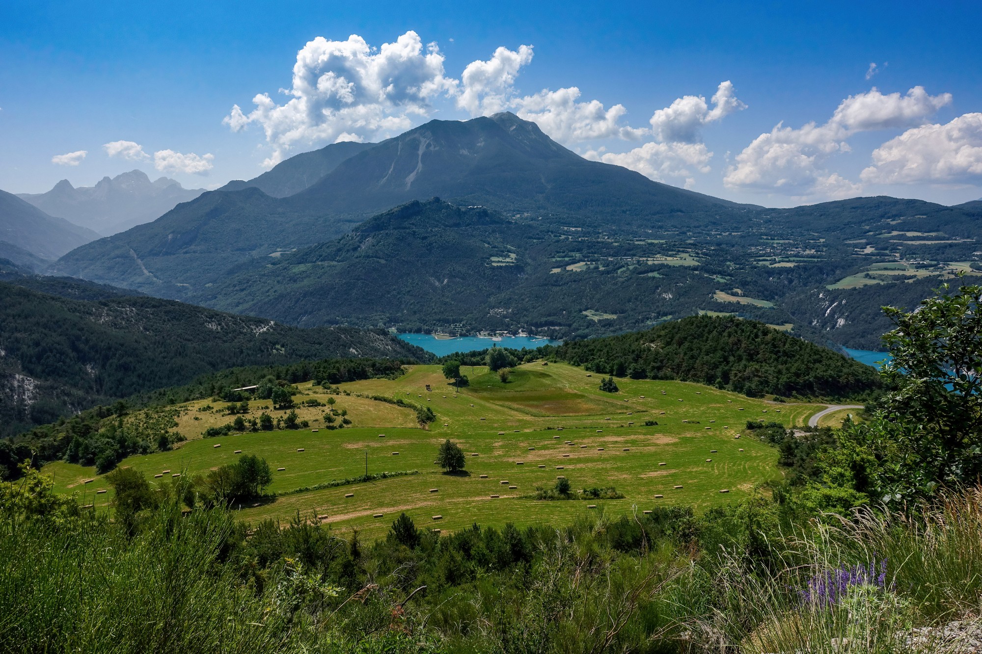
Another three mile climb led to a spectacular view of the lake, although in fact this was just the relatively slim Ubaye arm of Lac de Serre Ponçon
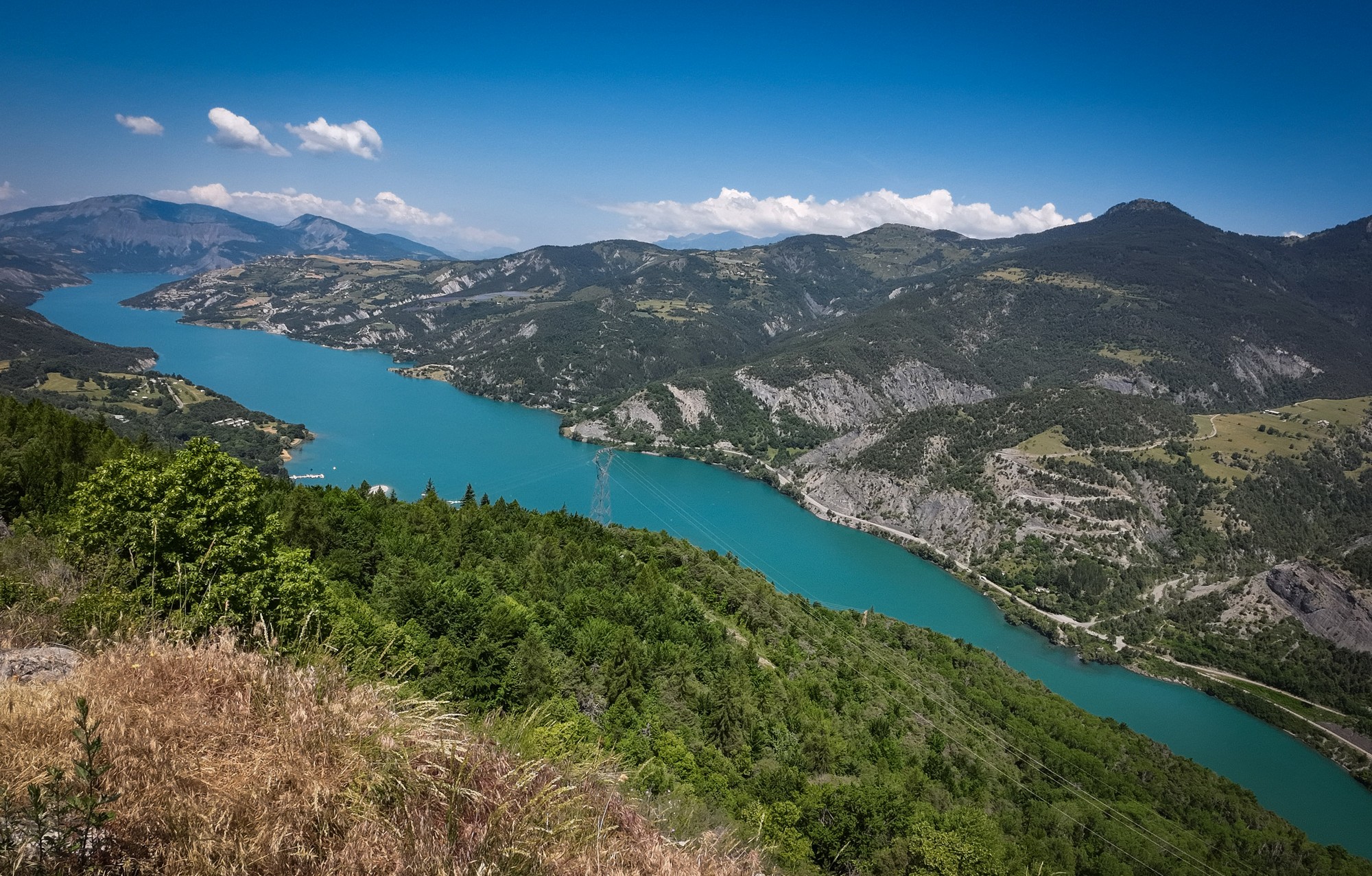
I stood there for a while looking at that lovely view, and chatted to a couple of German motorcyclists. The temperature was over 30°C at that point.
The next 25 minutes were spent descending almost continuously — a welcome relief after climbing in the heat. Less welcome was a very close call when a deer burst out of the woods to my right and straight into my path just a few metres in front of me. I was doing around 30 mph (48 kph) at the time.
The deer found its footing on the tarmac and shot across the road, narrowly missing a car coming the other way. I had no time to brake or react beyond shouting “Noooo”. In truth, it all happened so quickly that there wasn’t even time for an adrenaline rush. I simply carried on descending, replaying the moment and imagining what might have been.
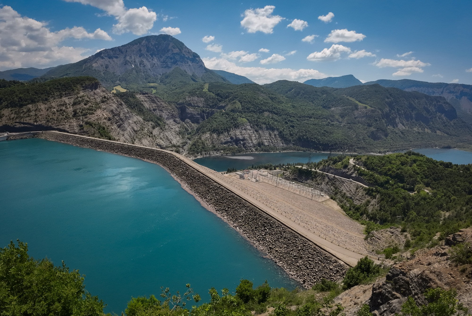
That nine-mile descent brought me back down to lake level—actually below it, as I was now downstream of the main dam, the Barrage de Serre-Ponçon.
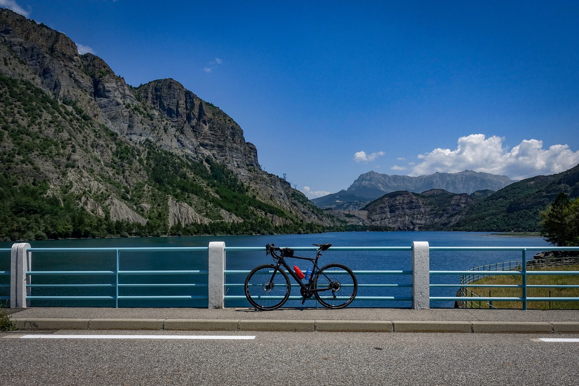
I crossed the smaller Barrage d’Espinasses and then drifted slightly off route into the village of Rousset-Serre-Ponçon in search of water. I found a boulangerie where I got a coffee and a very welcome Mars choc-ice, and sat outside for a well-earned break.
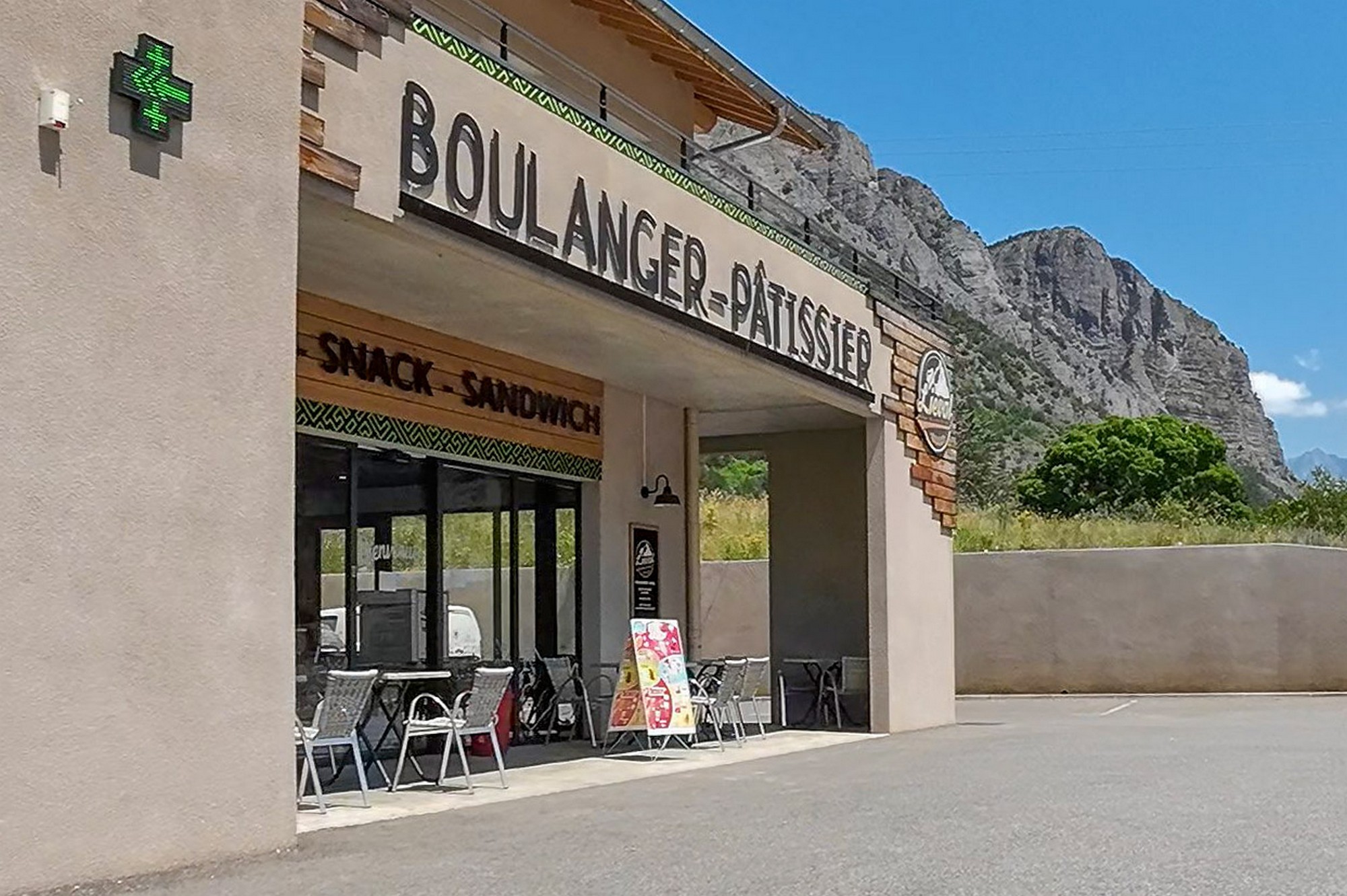
Fifteen minutes later I was back on the road, after topping up both bidons. Temperature was now in the mid 30s°C. Three miles later I had climbed to the viewing point above the Barrage de Serre Ponçon [until today I didn’t even know there was a dam – I’d assumed it was a natural lake].
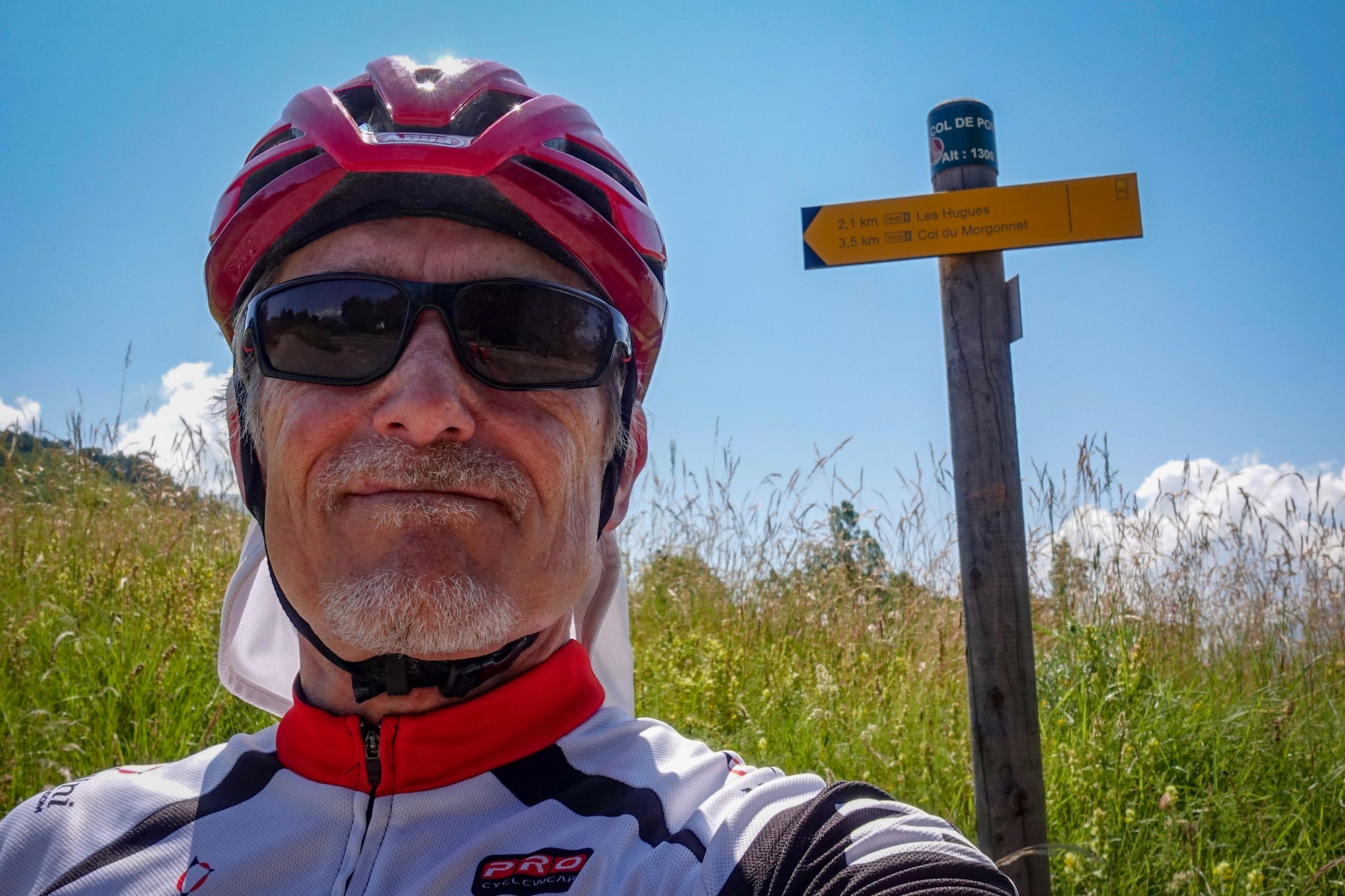
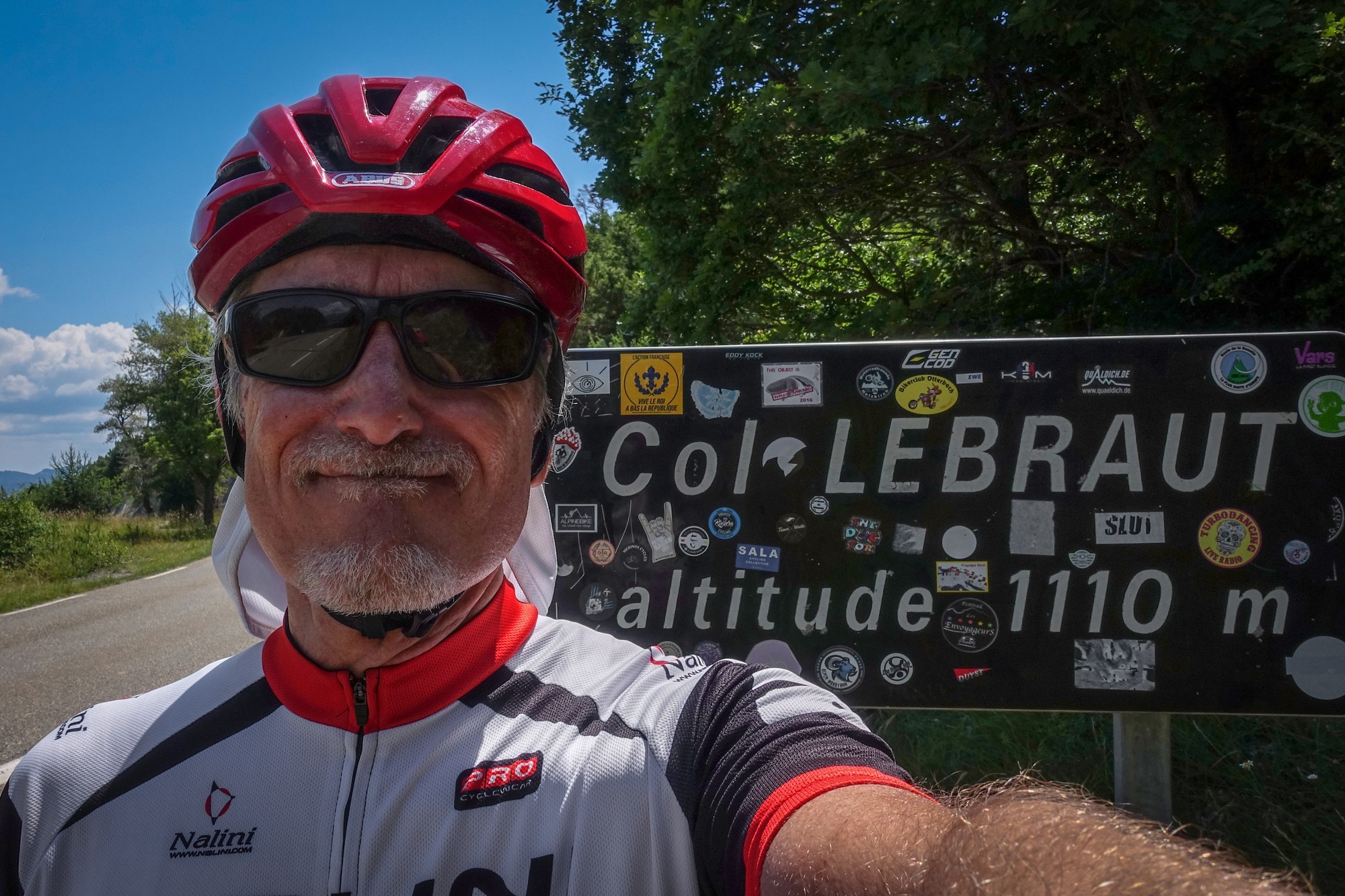
Leaving the dam there was a short downhill, followed by over two miles climbing at 7.6% to Col Lebraut, with no shade to offer any relief from the sun.
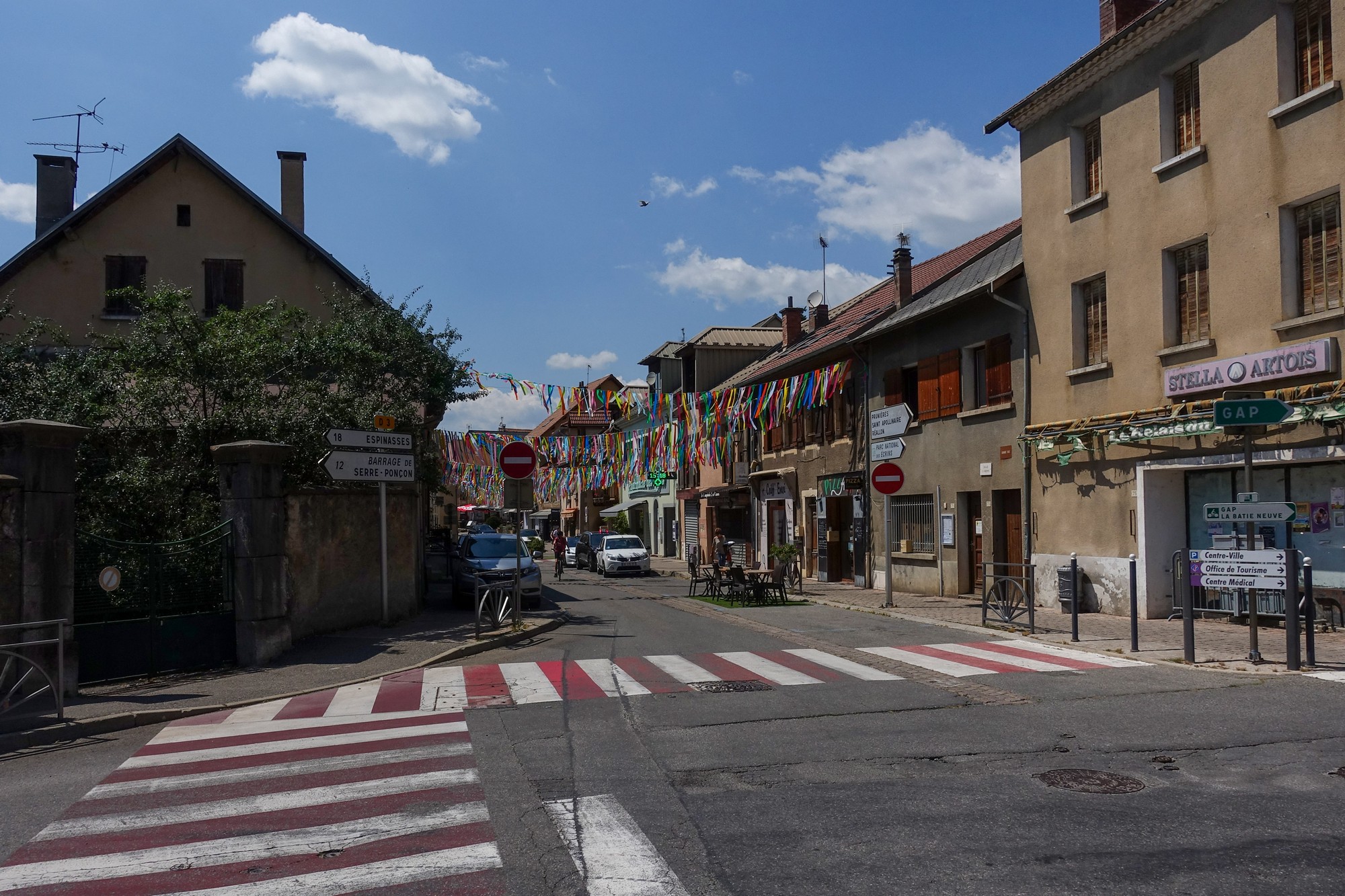
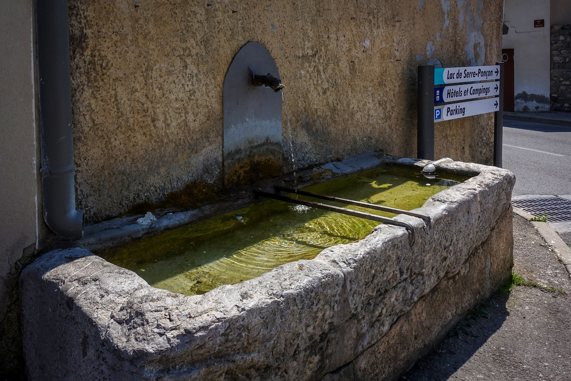
A 4.6 mile descent from Col Lebraut led me to the village of Chorges, where I once again managed to fill both my bidons with cold fresh water.
Eschewing the more direct main road back to Embrun, which follows the lakeside, my route took me back into the hills on the quieter D9, starting with a long five mile climb at 6% avg. But the good news was that there was hardly any traffic.
Eight miles of undulating road in the hills led to a final three-mile descent back to Embrun.
It had been a fairly demanding day in the saddle—almost eight hours under a baking sun, with a relentless sequence of climbs and descents. The feel was quite different from my recent rides in the wilder reaches of the Haute Maurienne: more touristy, and with noticeably more traffic. Even so, the scenery around Lac de Serre-Ponçon made it a ride well worth doing.
Further reading
- Les fonds de Serre Ponçon et belvédère des curattes Excellent video showing the lake at low water, revealing some of the old infrastructure of the Chorges-Barcelonnette railway line, which was abandoned in 1941.
- Savines et le Barrage de Serre-Ponçon Video about the old village of Savines
- Once Upon a Time in Savines Video about life before and after the construction of the Serre Ponçon Dam. The comments make fascinating reading.
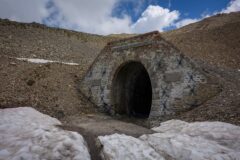
- Les lignes de chemin de fer noyées dans le lac de Serre-Ponçon Video about the unfinished railway that was buried under the lake. In fact I rode through one of the old railway tunnels during today’s ride (see the video).
- The incredible story of a submerged village Another video about the lake.
- There are too many videos on YouTube for me to list here. It’s great that we can easily access the history of these places.
Gallery
Click to enlarge / see slideshow


Wow what an amazing country France is, a true pedallers paradise! Thanks for sharing this great ride with us Vince. Also thank you for digging up the additional reading and video to supplement your commentary. Great stuff!
Cheers
Martin
Thanks for your comment Martin. Yes indeed — “pedallers’ paradise” is spot on!
I usually end up researching everything afterwards for the write-up, which almost gives me a second ride — though I sometimes wonder what I miss by not knowing more on the day.
Cheers
Vince