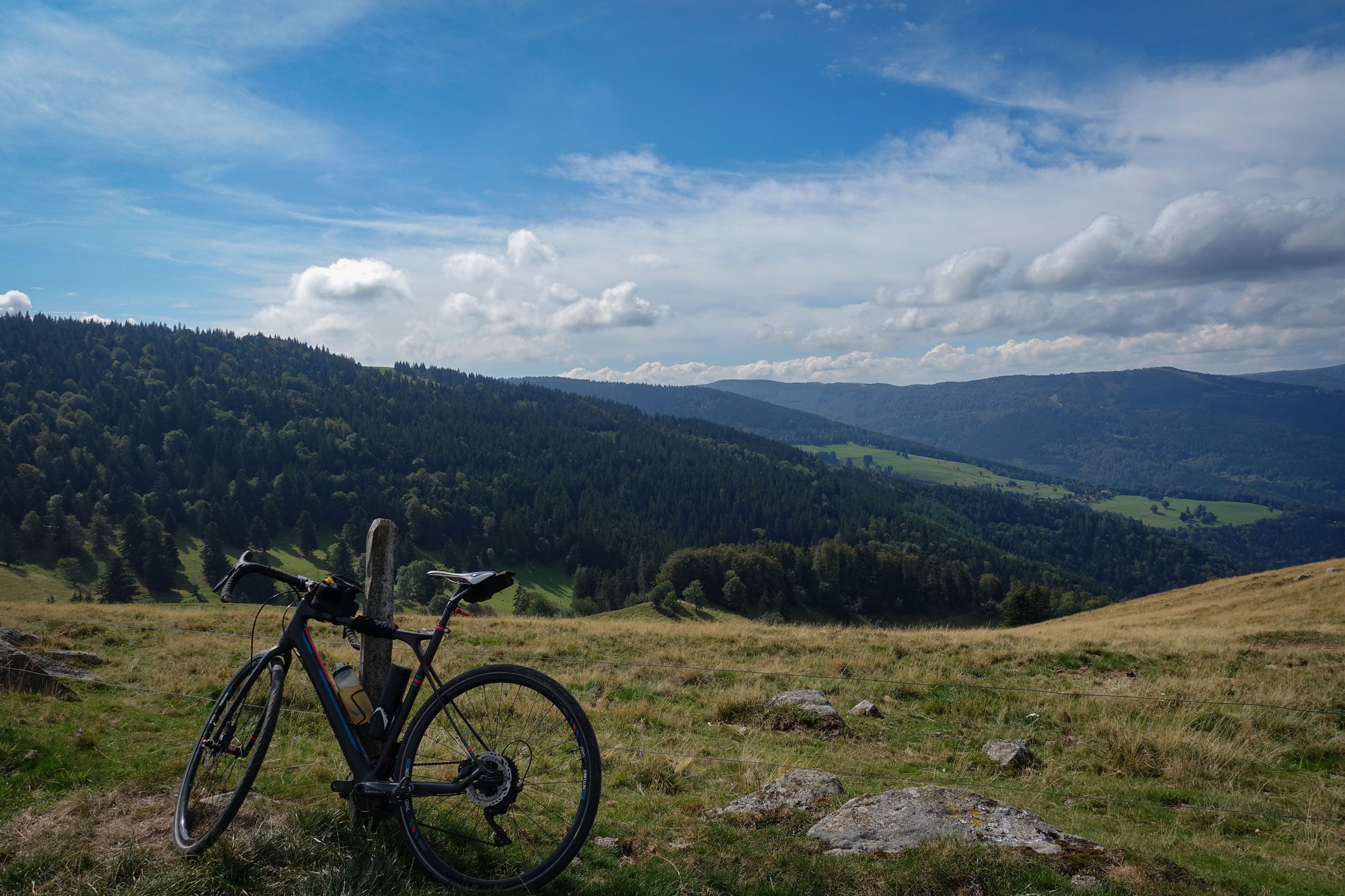
Distance: 47.3 miles. Elevation: 6809 ft.
Col du Platzerwaesel | Col du Petit Ballon | Col du Firstplan | Col du Bannstein
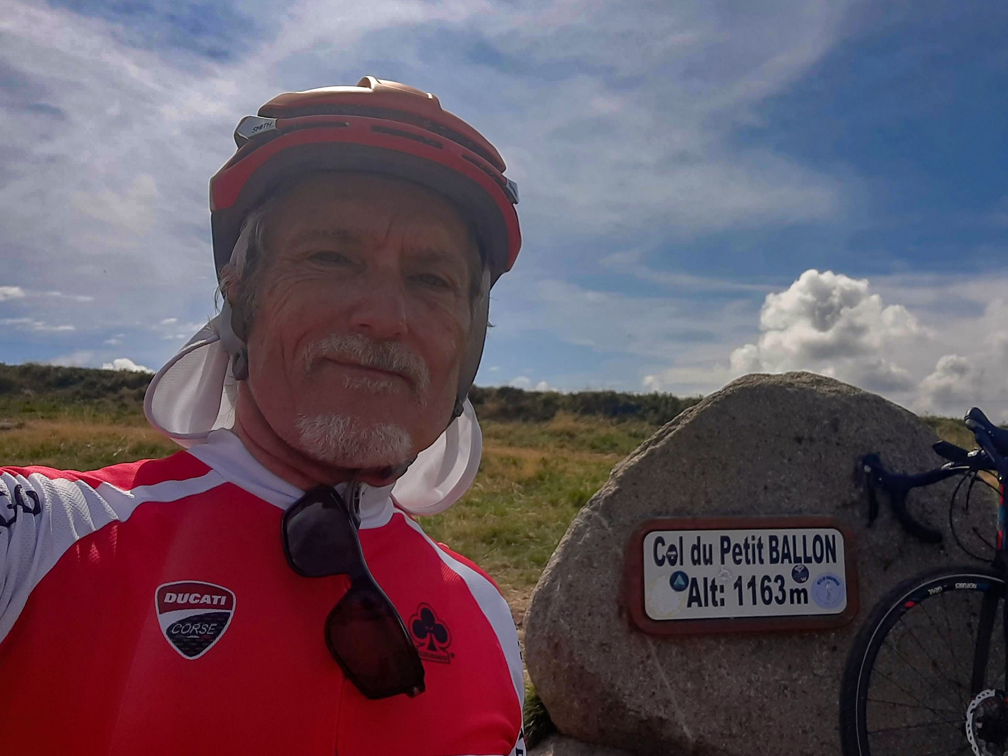
Still on the ‘ballon’ theme, today I rode to le Col du Petit Ballon. Incidentally, ‘ballon’ is the french word for a round-topped mountain. There’s an interesting story about these ballons. This one, and the one I rode on Wednesday (Grand Ballon), and the Ballon d’Alsace, along with a mountain in Bavaria, Germany and another in Switzerland may, together, have been used by the Celts as a solar calendar. See below for more on this.
I knew this would be a fairly tough ride with 7,000 ft of climbing over 47 miles. And, with the ride starting at an altitude of 1000 metres, it would inevitably end with a climb. (Yeah, I know, I’ve used mixed units. I really must go metric!)
I drove to Le Markstein for the start and set off on my bike at just after midday. I wore a base layer and took arm warmers and rain jacket for the descents.
14:17
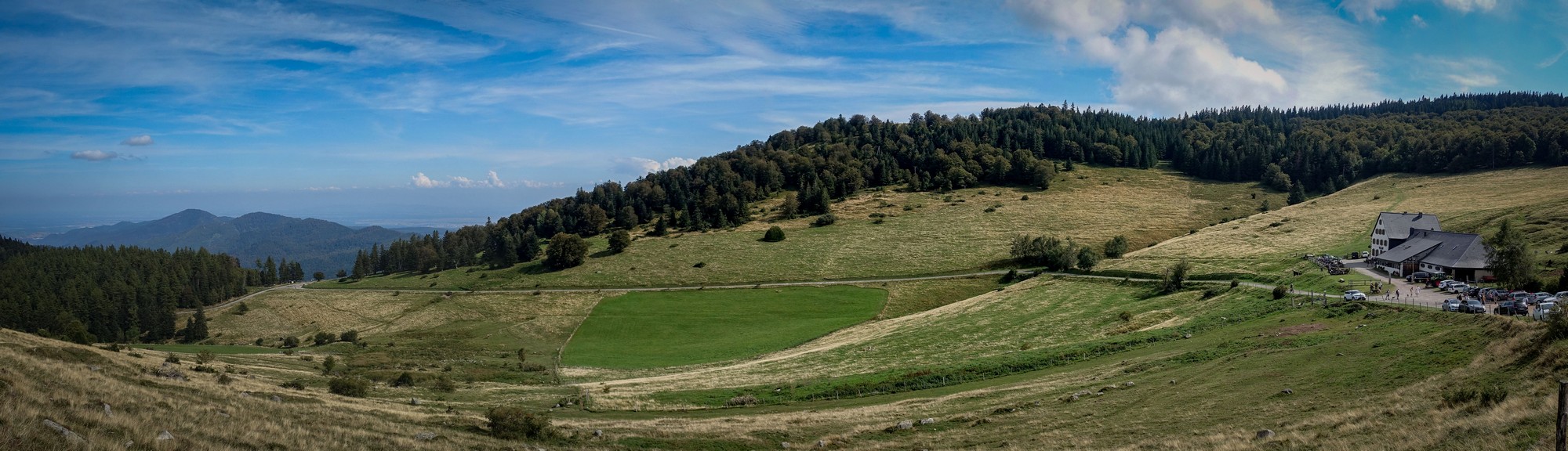
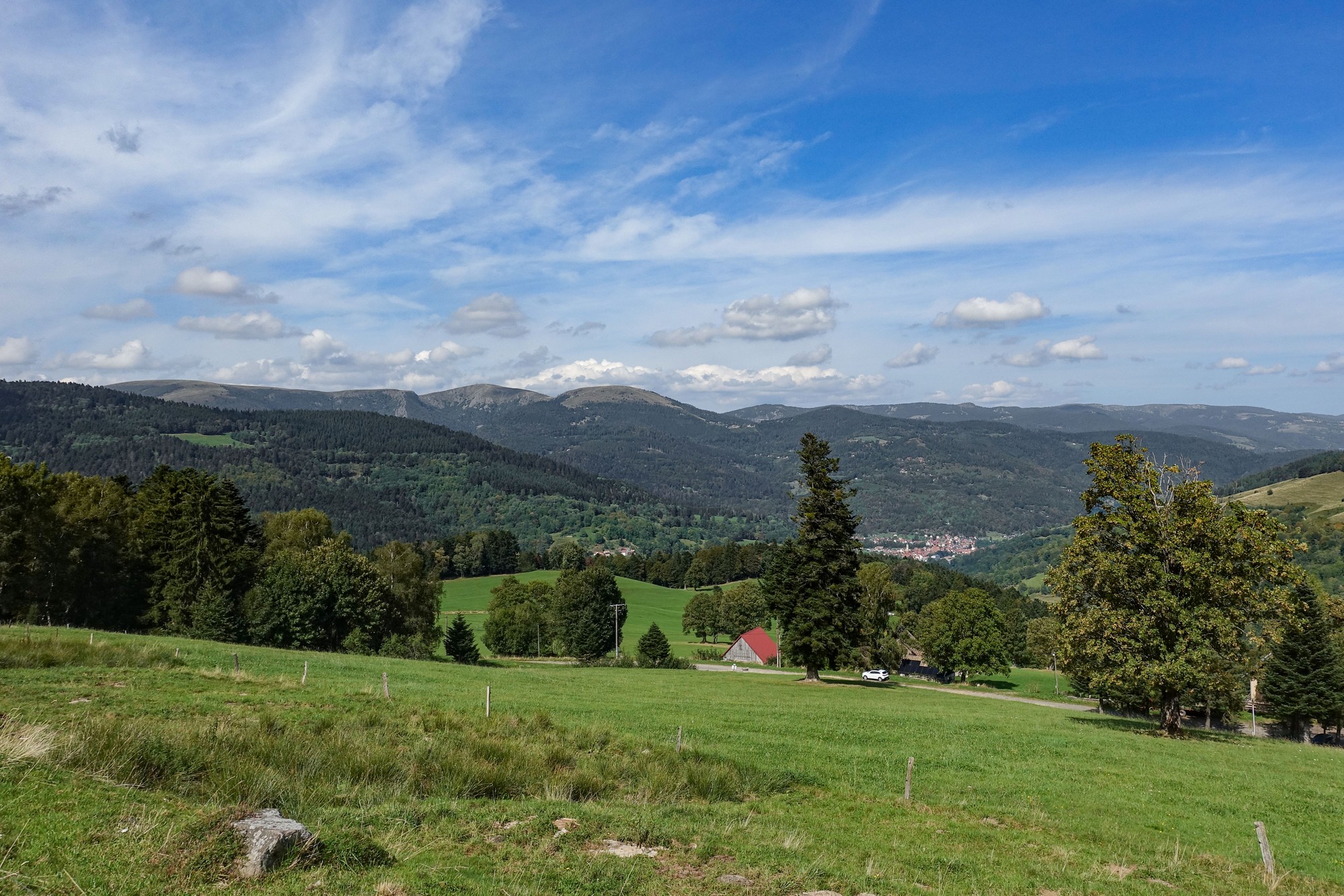
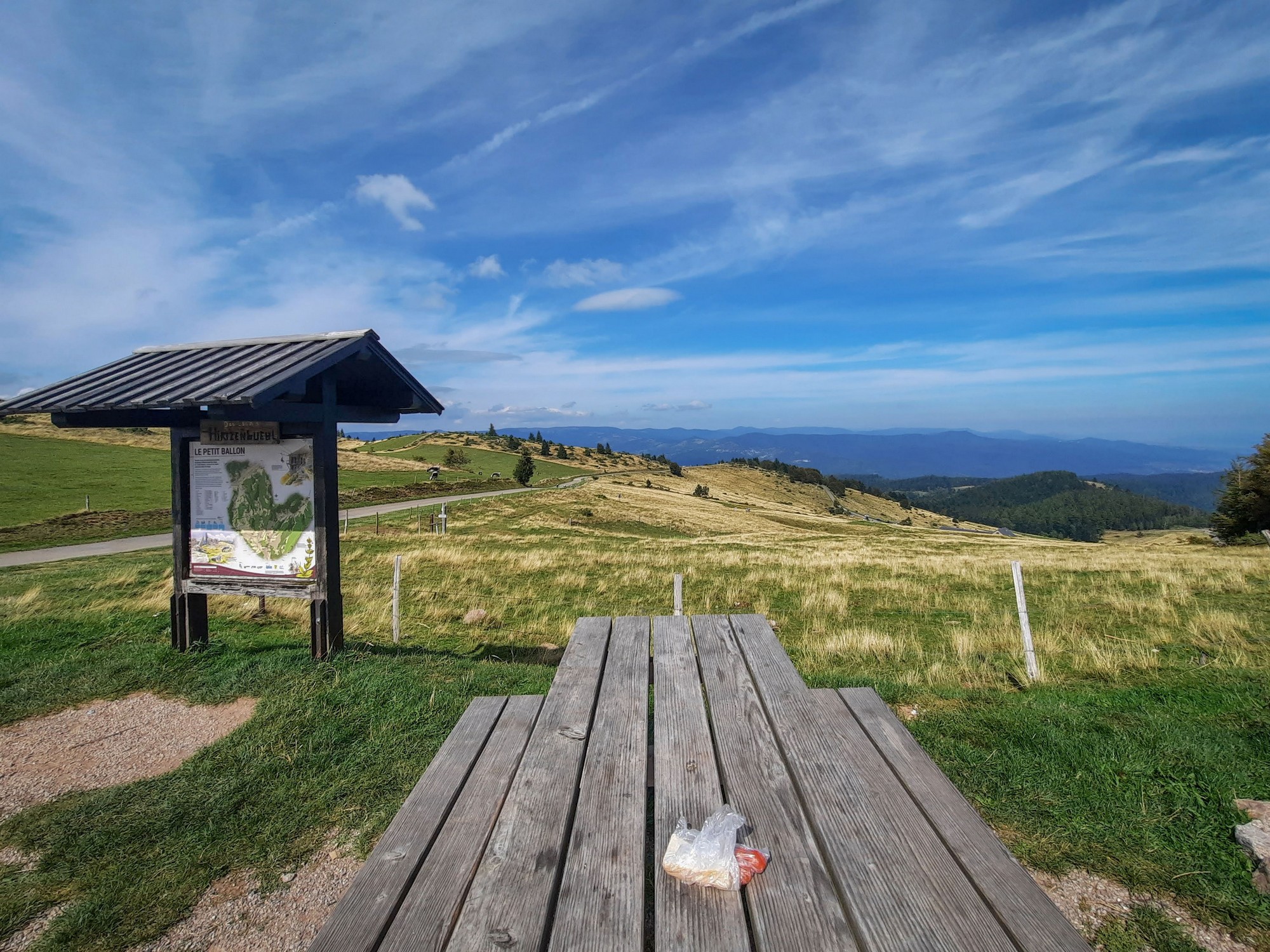
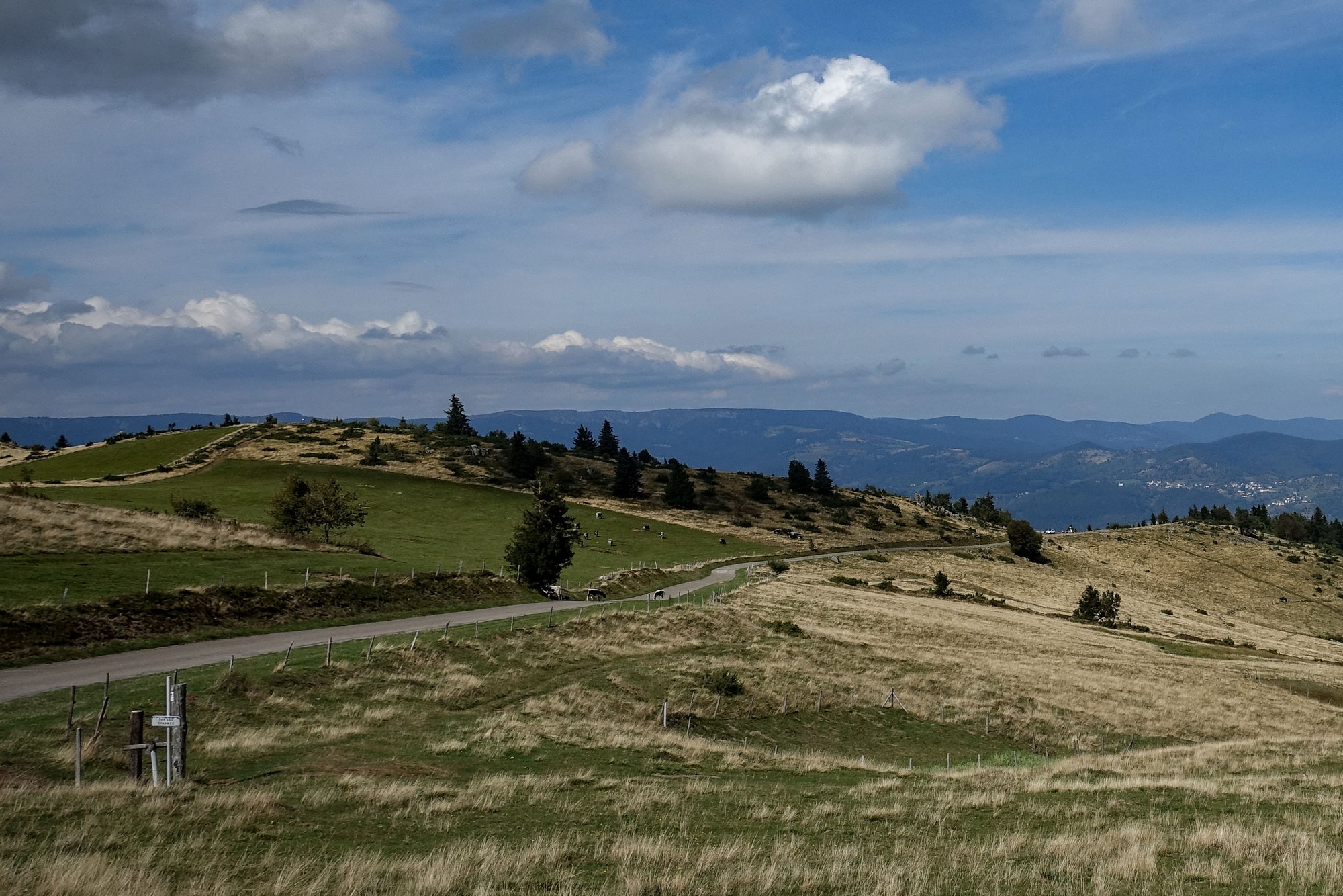
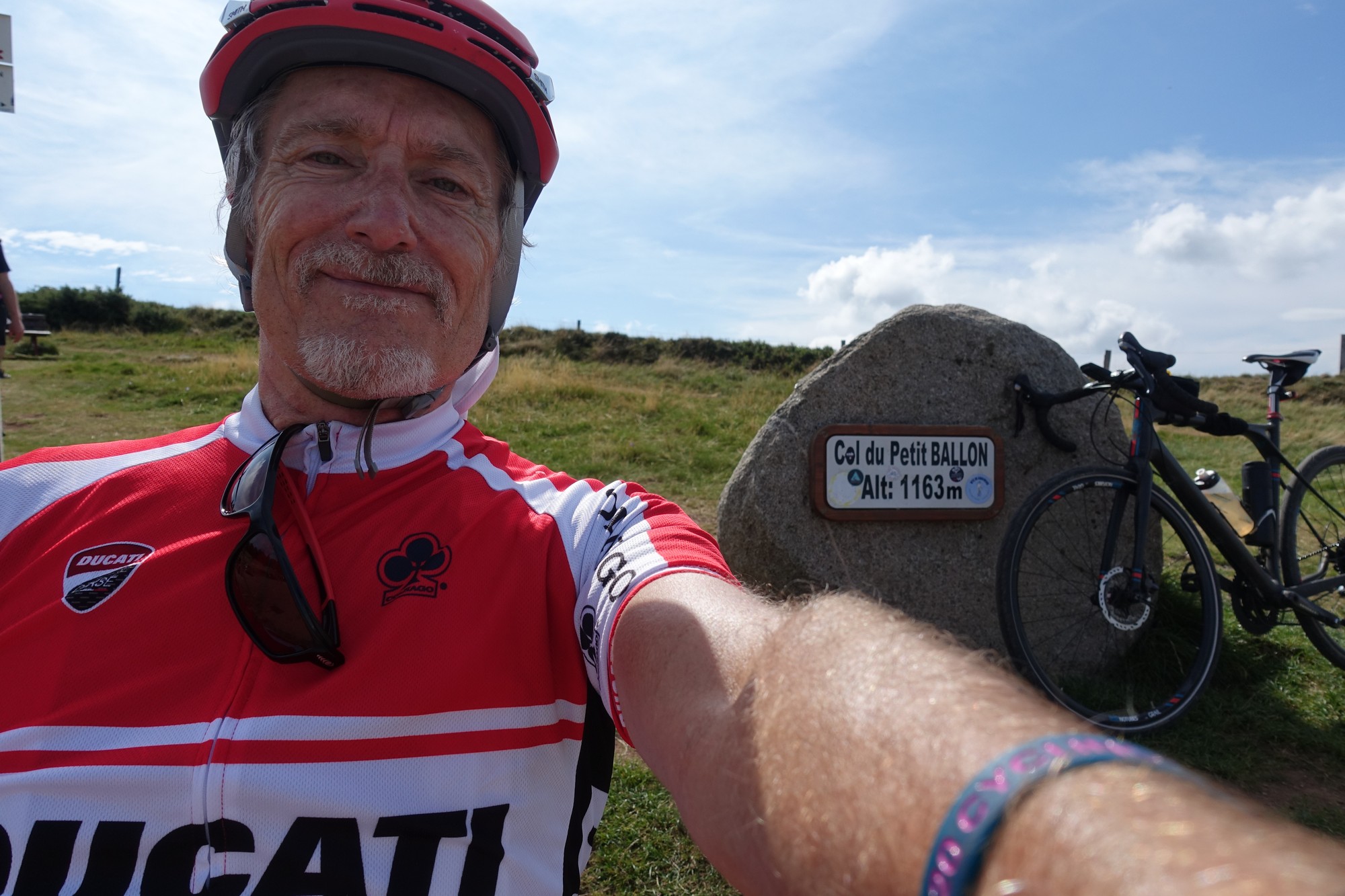
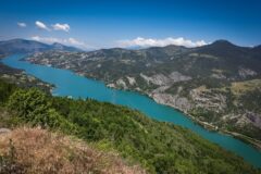
This report coming from the Col du Petit Ballon. It is an absolutely beautiful sunny, warm, calm September day. And cycling around the Vosges is heaven on days such as these. The scenery from these higher pastures is breathtaking.
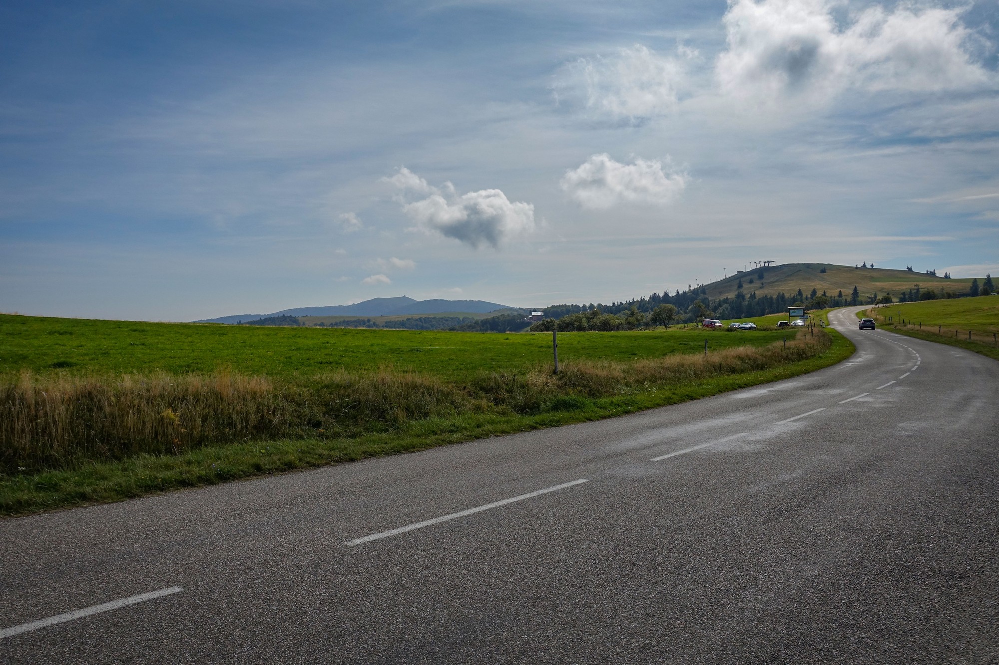
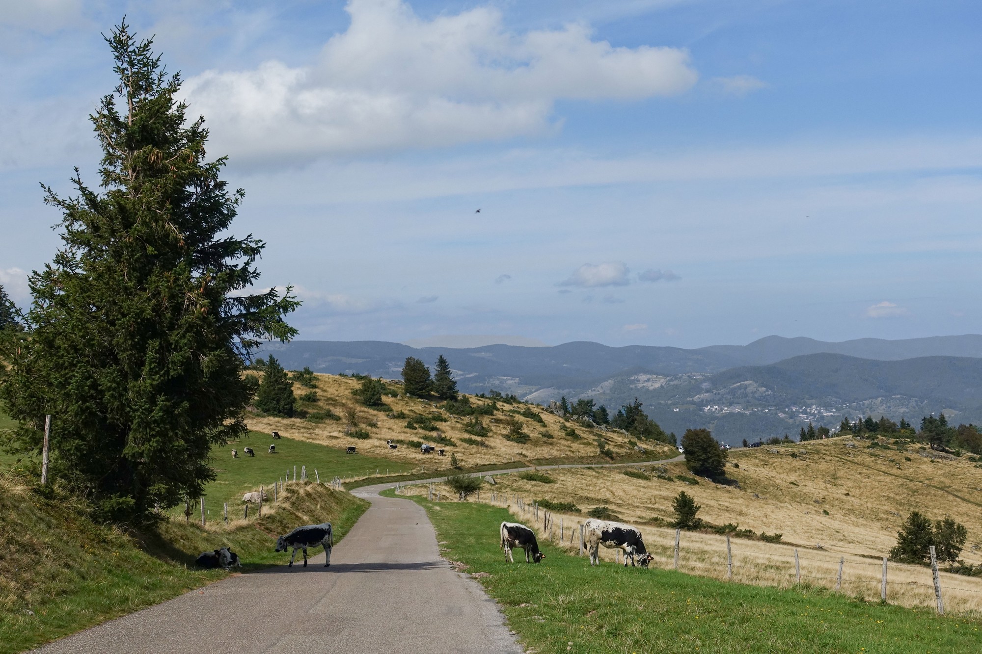
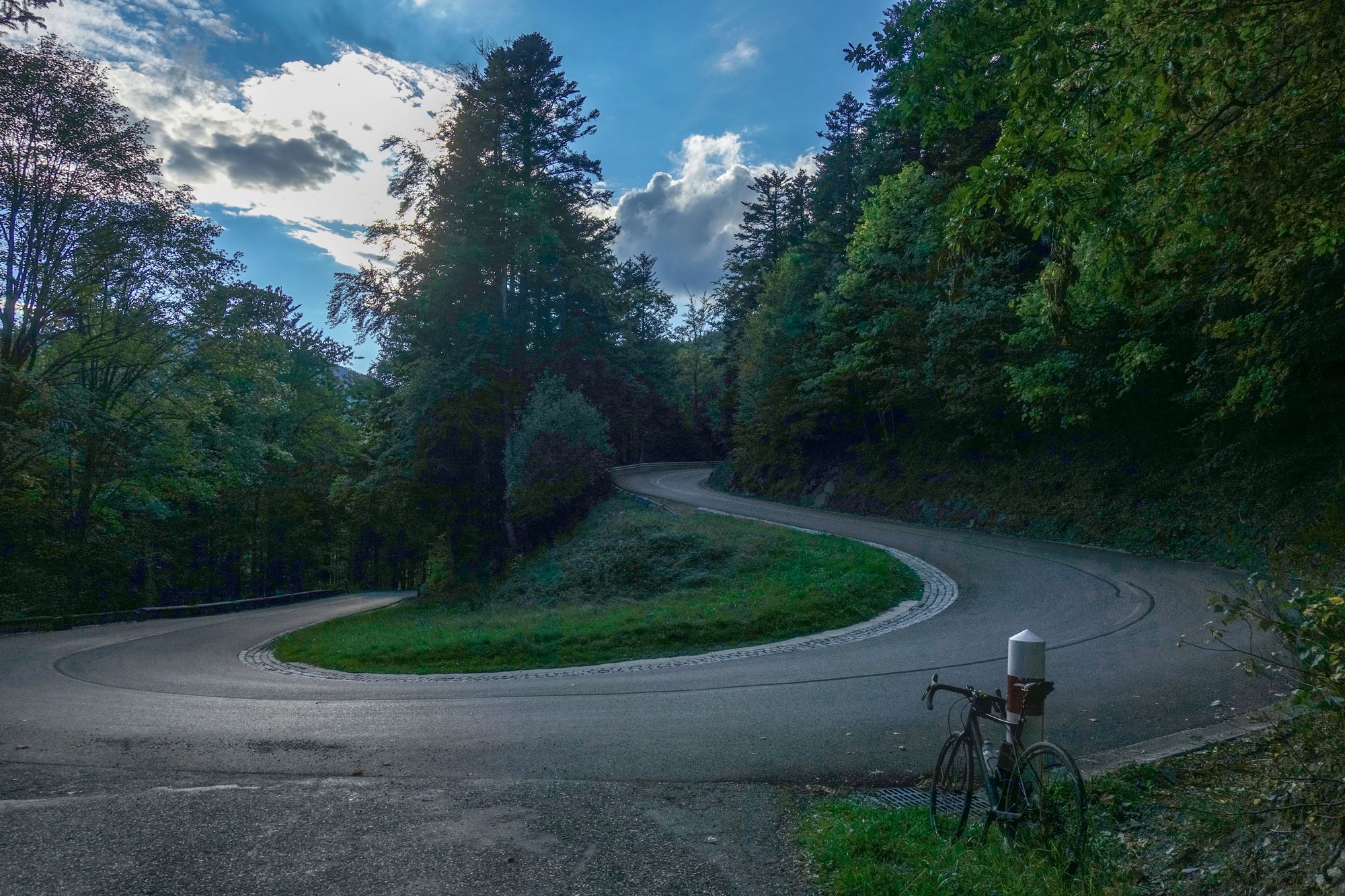
There’s hardly any traffic on the roads but I’ve seen hundreds of cyclists, and the odd cow. The first part of the ride was four miles of flat from Le Markstein featuring lots of far-reaching views. Then came a long descent and I’m really glad I didn’t have to climb that at the end of the ride had I done the route the other way around. It was so steep you couldn’t really let go of the brakes. (I checked after the ride – it was 4½ miles of nearly 8% avg)
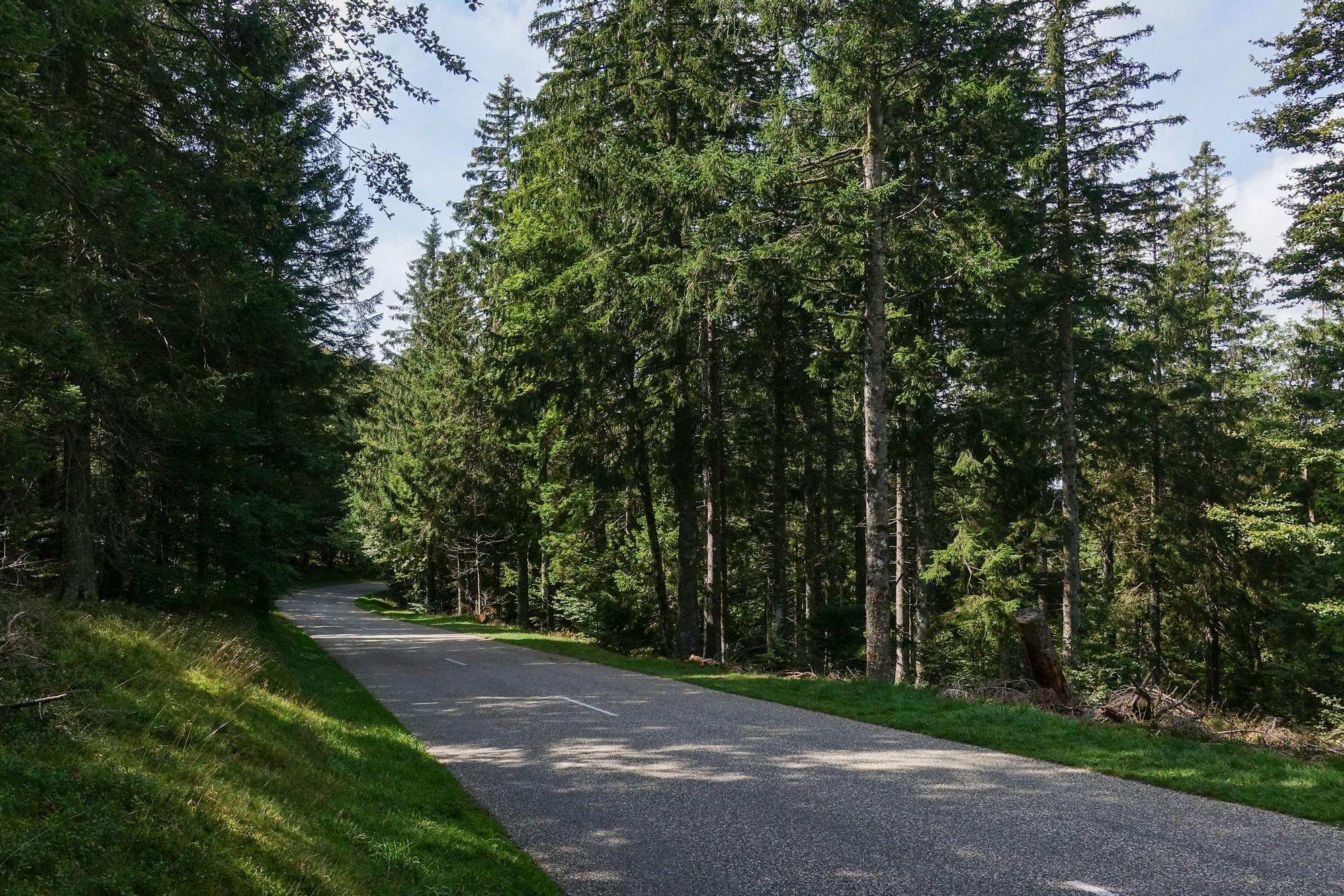
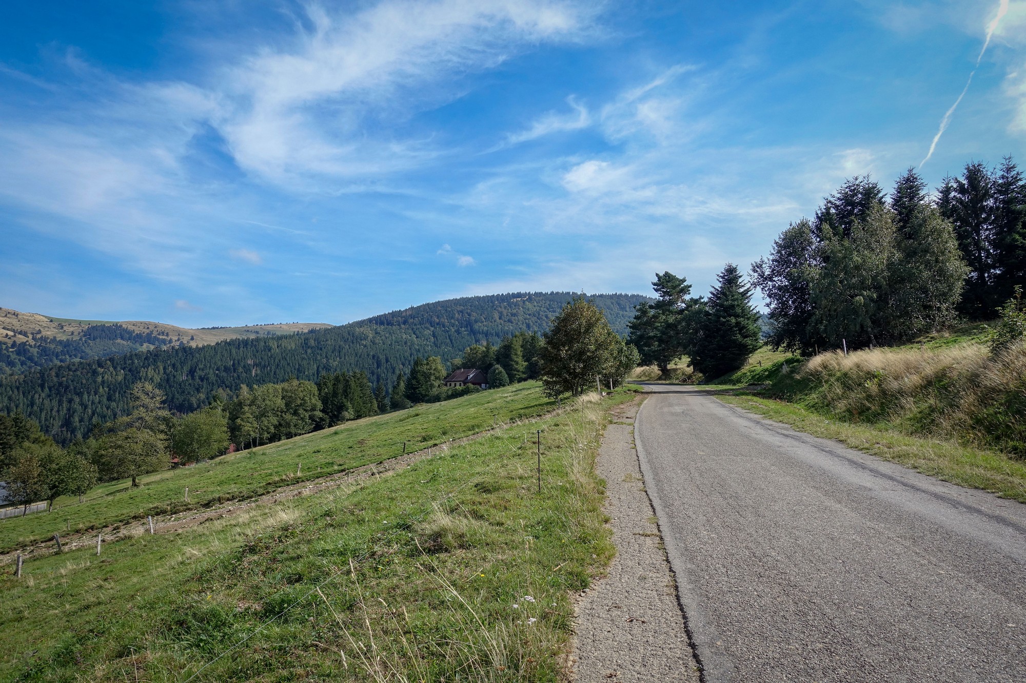
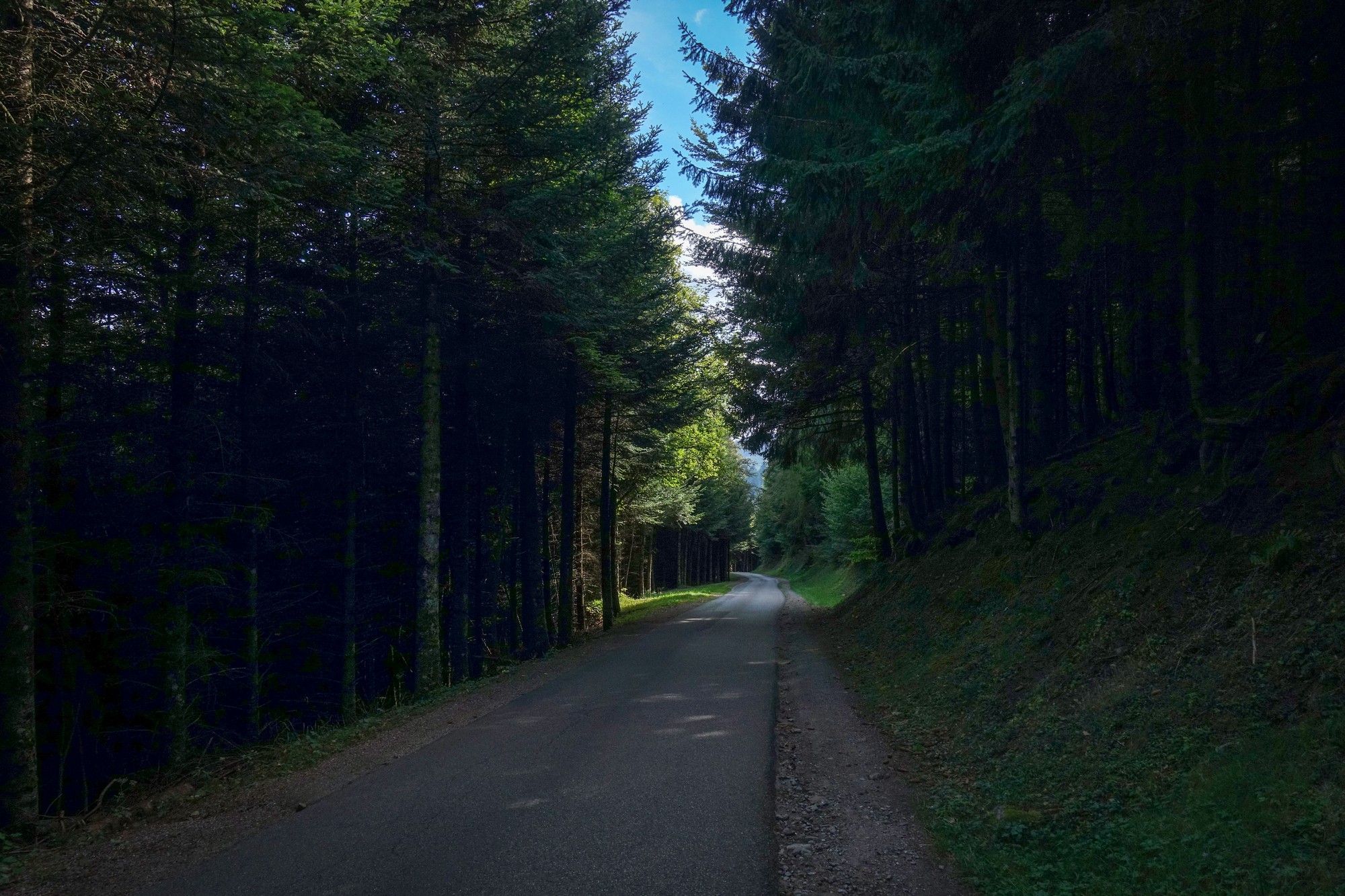
Then came the turn off and the six-mile, 6% climb to Le Petit Ballon. It was mainly through forests but with the odd glimpse of the scenery through the trees. It was a very peaceful ride; there is absolutely no wind around today and the forests are quiet except for the odd chirp from a seemingly solitary bird.
At one point I stopped for a photo and a huge tree was being towed down the road by a tractor.
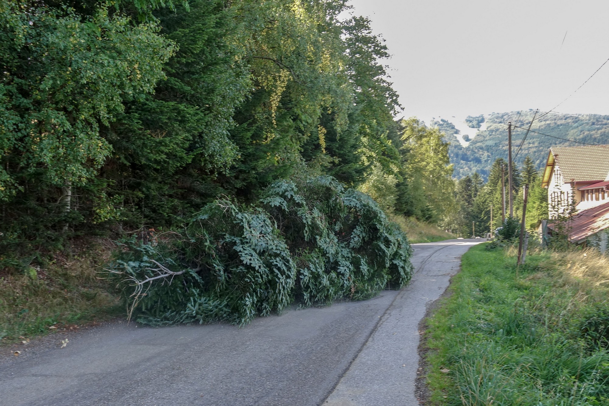
I found it quite amusing and smiled at the driver. Riding on, I mused that it might be the way they sweep the roads round here. But a couple of bends later, I became less than amused when I came across loads of mud and stones strewn across the road where the tree had been dragged out of the forest.
Here at the col there are lots of ramblers – definitely outnumbering the cyclists. Many of them are walking up to the peak but I can’t be bothered this time to drag my bike up there – also I have the wrong shoes on.
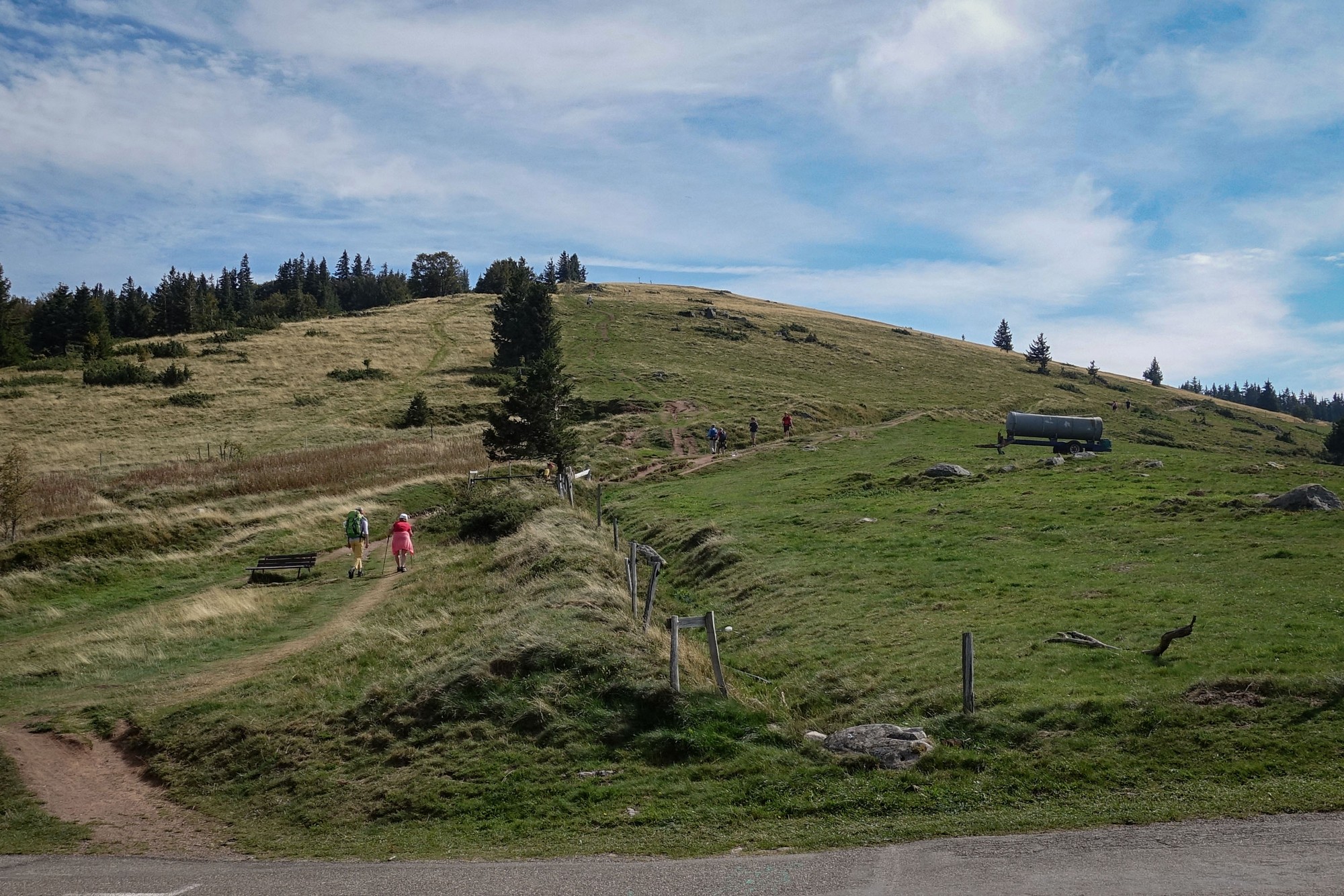
I’m just sitting here at a picnic table with an amazing view and I’m just about to eat my CST sandwich.
I think it’s warm enough to do this upcoming descent without using my arm warmers, but we’ll see.
Final report
Shortly after leaving the col I came across another spectacular viewing point, so I took some photos and decided that I would put my arm warmers on. For the rest of the ride I rolled them down for the climbing and pulled them up on the (cooler) descents. I didn’t use my rain jacket at all.
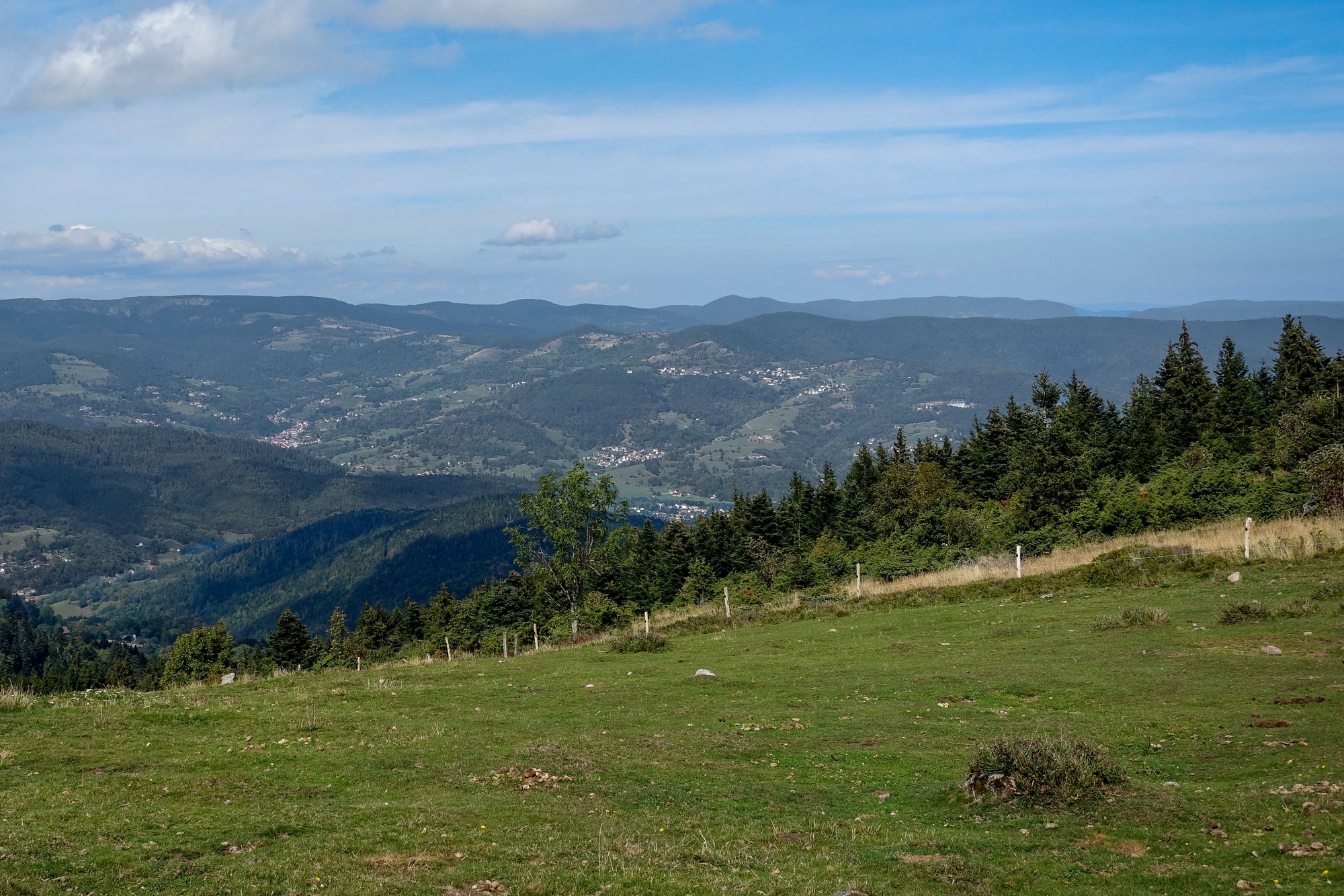
The road descended steeply, mostly through forest,
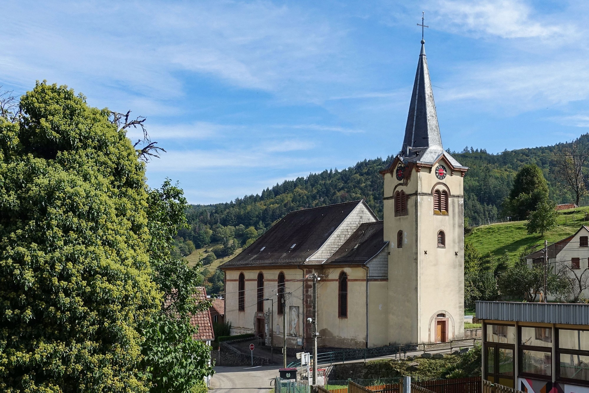
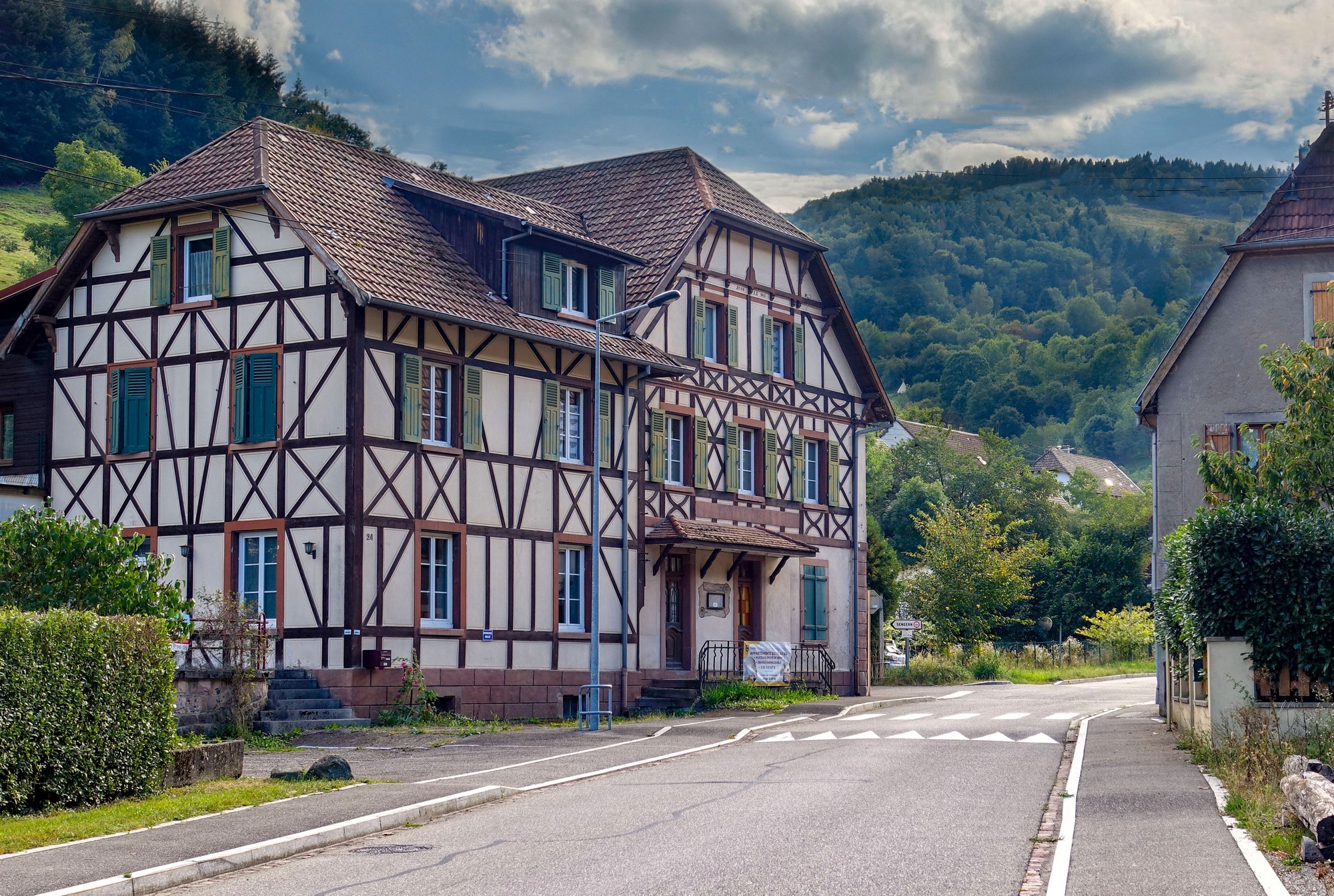
… to the lovely town of Wasserbourg, through which the 10% gradient persisted.
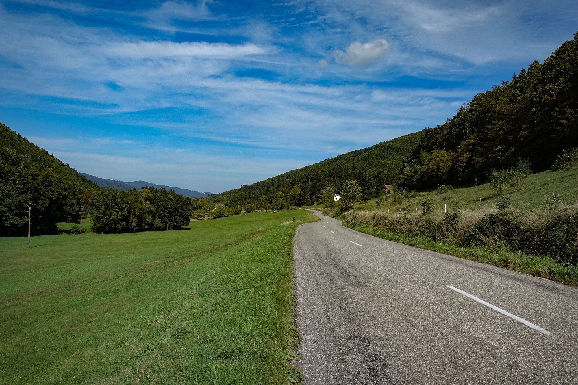
After Wasserbourg, the gradient eased as the road followed the river Krebsbach
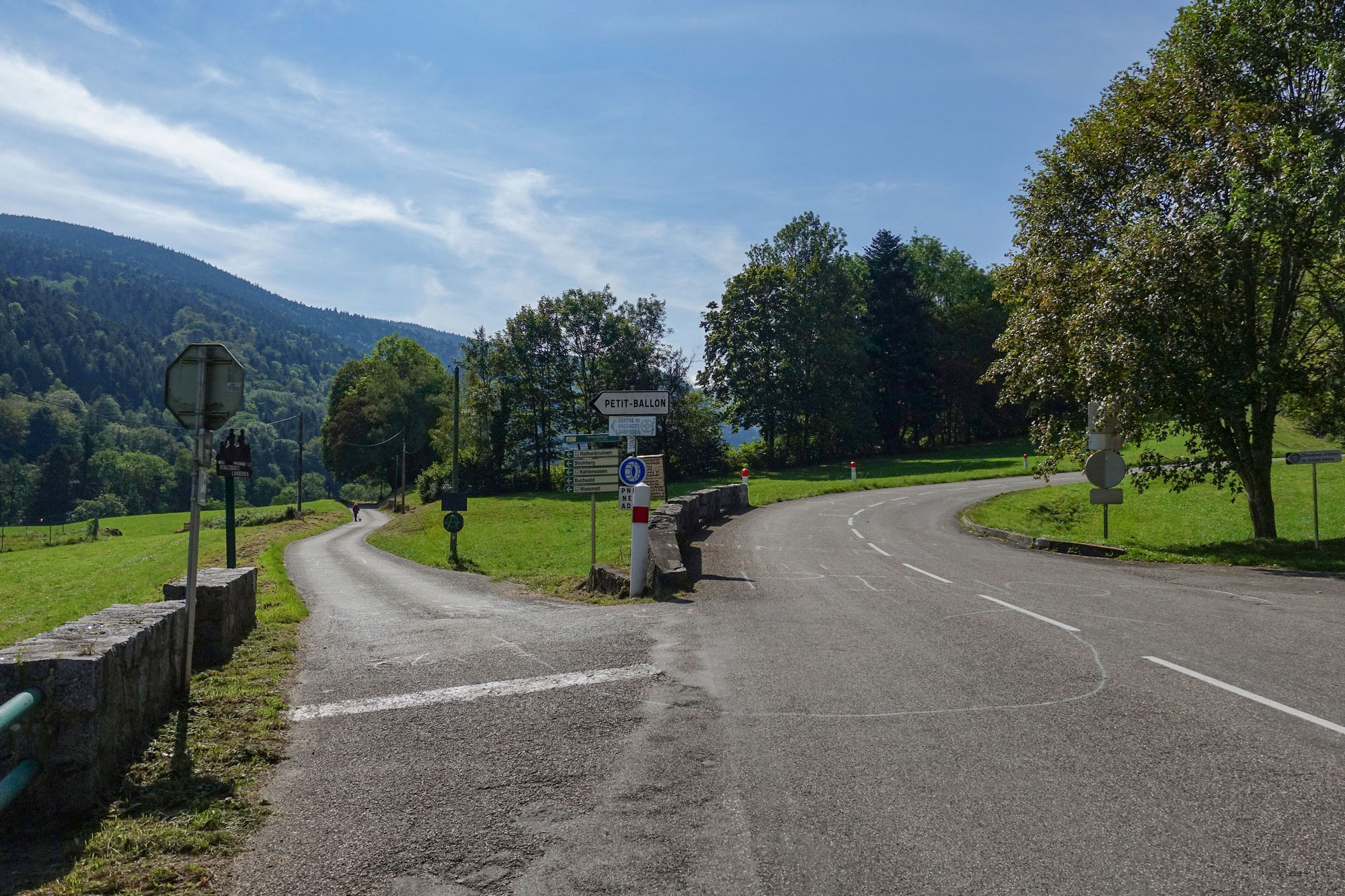
Soon it was time for me to start climbing again once I reached my turn off, which doubled back up the hills to my right. The first thing I saw was a ROUTE BARRÉ sign. Noooooo! I thought, but quickly realised the dates were in the future.
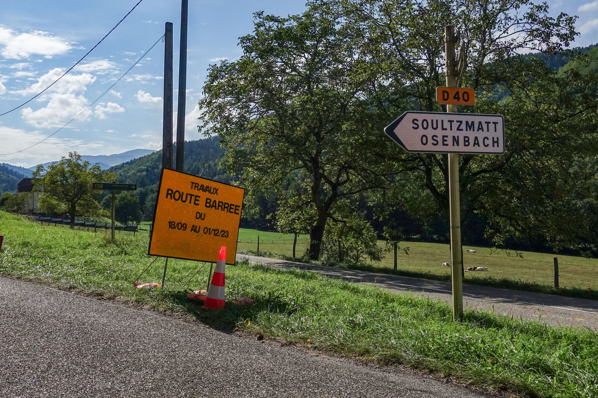
I wish they’d stop doing that to me!
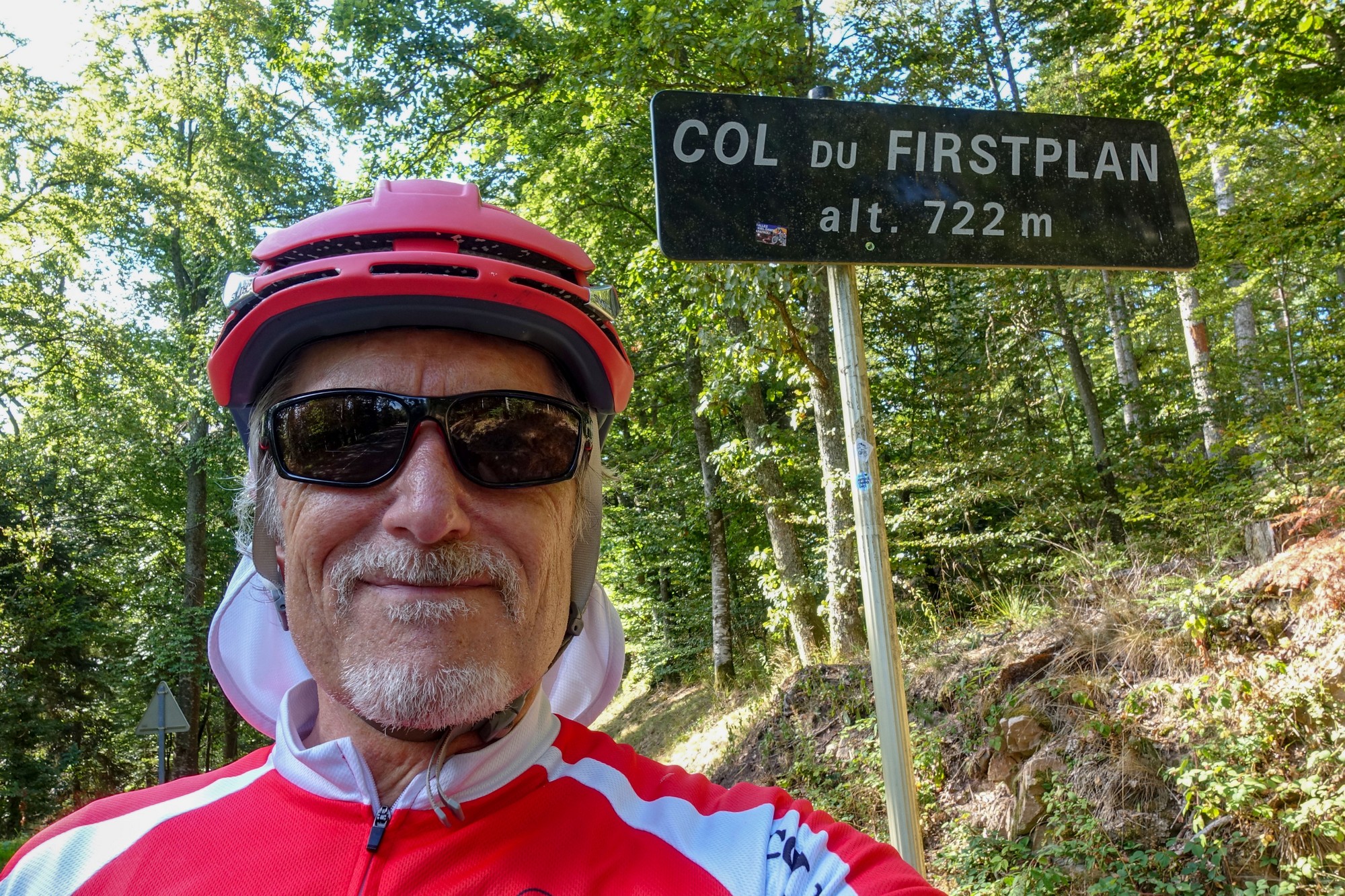
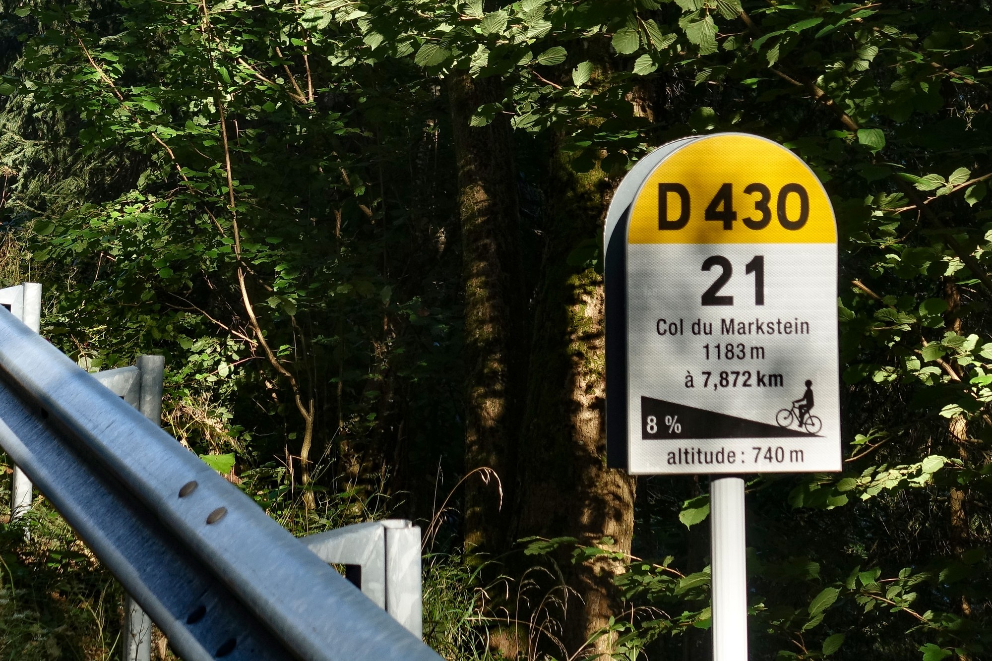
The road went back into the trees again for the 3 mile 6.5% climb to the strangely-named Col du Firstplan
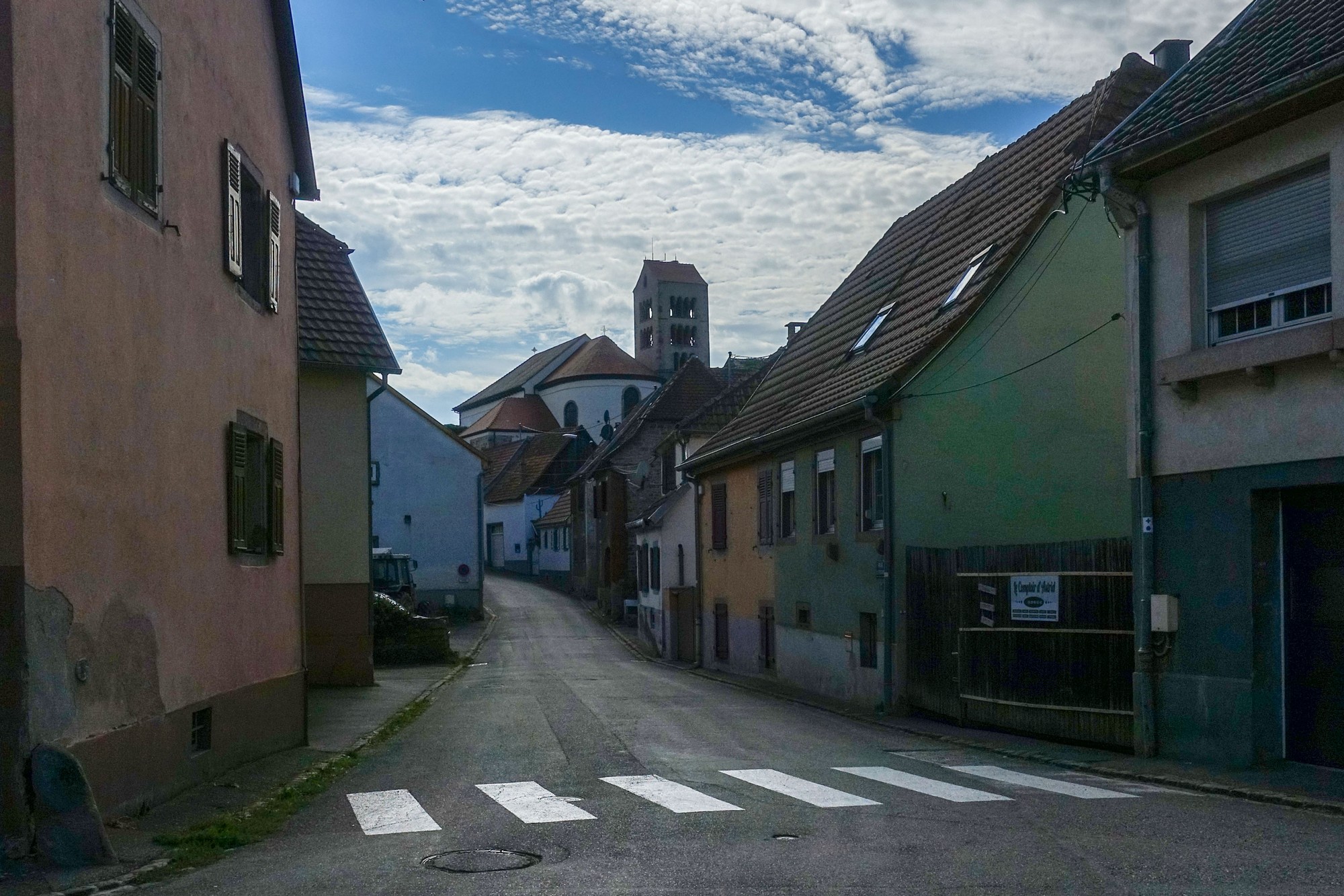
The five mile descent from there went through Osenbach ….
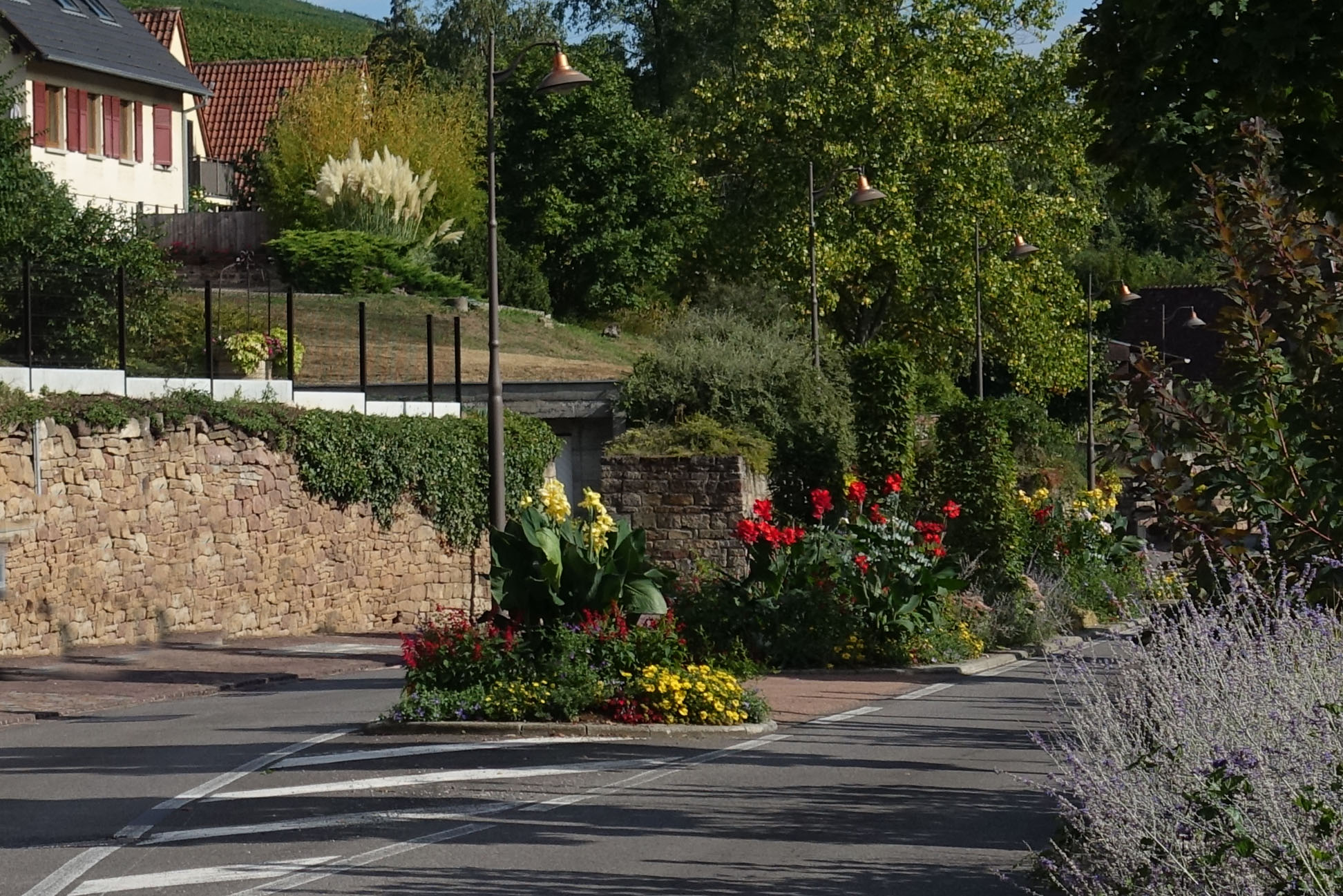
… and then down to the north end of Soultzmatt, where there was a spectacular display of flowers in the middle of the road at the entrance to the village
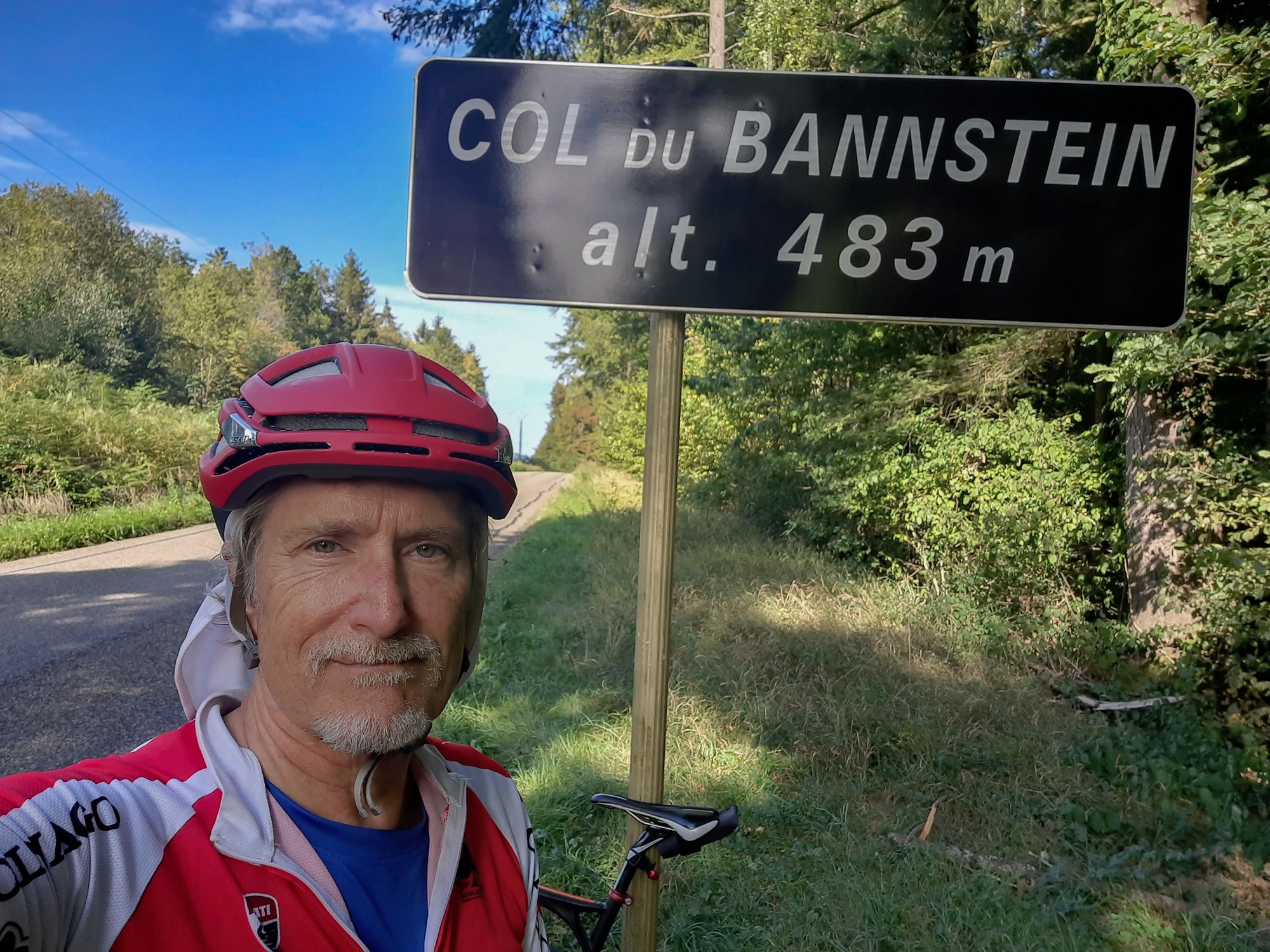
From there it was an easy three mile climb to the Col du Bannstein
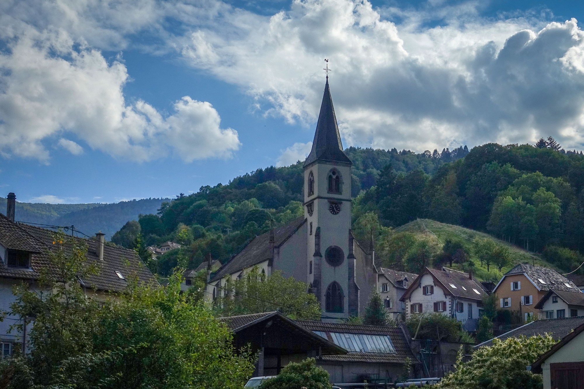
The road descended to nearby Lautenbach, where my route joined a slightly busier road for the start of my 11-mile climb back to the start.
Once through Linthal, the road became less busy (not that there had been much traffic) as it climbed ever steeper through the forest.
From there, the last nine miles became more of a slog. The average gradient was 6.2 but with plenty of 8%+ kilometers thrown in for good measure.
It was steeper than I’d been expecting. Somewhere in that last ninety minutes of riding I had my last remaining energy gel, and wished that I’d had more water with me – why hadn’t I topped up my bidon at one of the many villages?
For much of the last hour I was getting plagued by flies. It’s really annoying having to wave your arms about while struggling uphill!
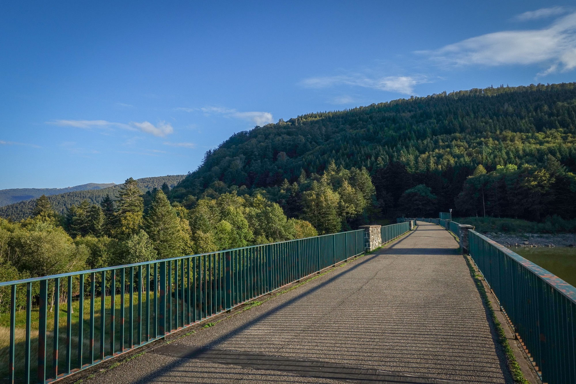
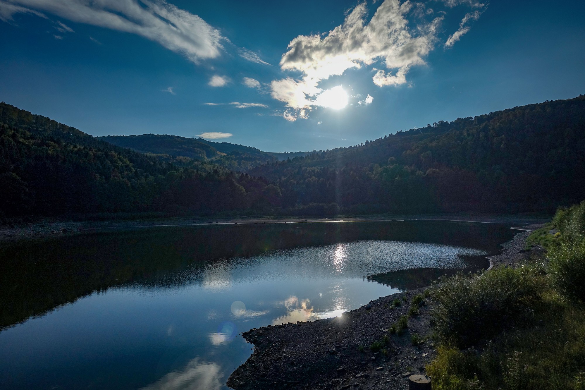
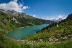
One moment of respite came two miles from the top when I stopped at Lac De La Lauch.
While standing on the bridge getting a photo of the lake, I got chatting to an old guy in rambler’s gear just starting a walk. Our conversation covered a range of topics. Initially there was a bit of confusion that was resolved when I realised he was telling me his car runs on benzine (I later googled that and it doesn’t seem likely – maybe I misheard). I told him that I had cycled up to the Grand Ballon two days ago but clouds had ruined the view. After that he kept using the phrase “Planet kaputt!” I’m not sure that the climate crisis can be blamed for my obscured view that day, but he went on to say that the water level in the lake we were looking at used to be much higher and that it used to contain delicious trout, but no longer (‘fertig’). I was interested to know how French people pronounce some of the german names in this area. He didn’t speak any English so the question was difficult to get over but he did confirm the pronounciation of Le Markstein. He asked me where I was staying and I told him I had a motorhome. This was met with great approval. ‘Camping car very good’. There was much more but I won’t bore you.
The really odd thing about the conversation was that afterwards I couldn’t work out what language he’d been using. Certainly he understood my speaking French, but lots of the words he used were German (‘kaputt’, ‘fertig’, etc) but he wasn’t speaking German and used the French word for trout, for example. I guess he might have been a typical older resident of Alsace, where, although the official language is now French, German used to be spoken extensively. So he probably was using a mixture of both.
I found it quite difficult to drag myself away from him. Eventually we bade each other farewell and he carried on his walk over the bridge and I got a final shot of the lake.
I still had the final two miles to go, most of it at 7.5%. That took another 25 minutes.
Inevitably that last eleven-mile climb had somewhat drained me and I’d lost the massive elation I had experienced earlier in the ride. It’s always preferable to end rides with a long descent! Still it was an excellent day’s cycling on a lovely day in a beautiful part of the world.
Further reading
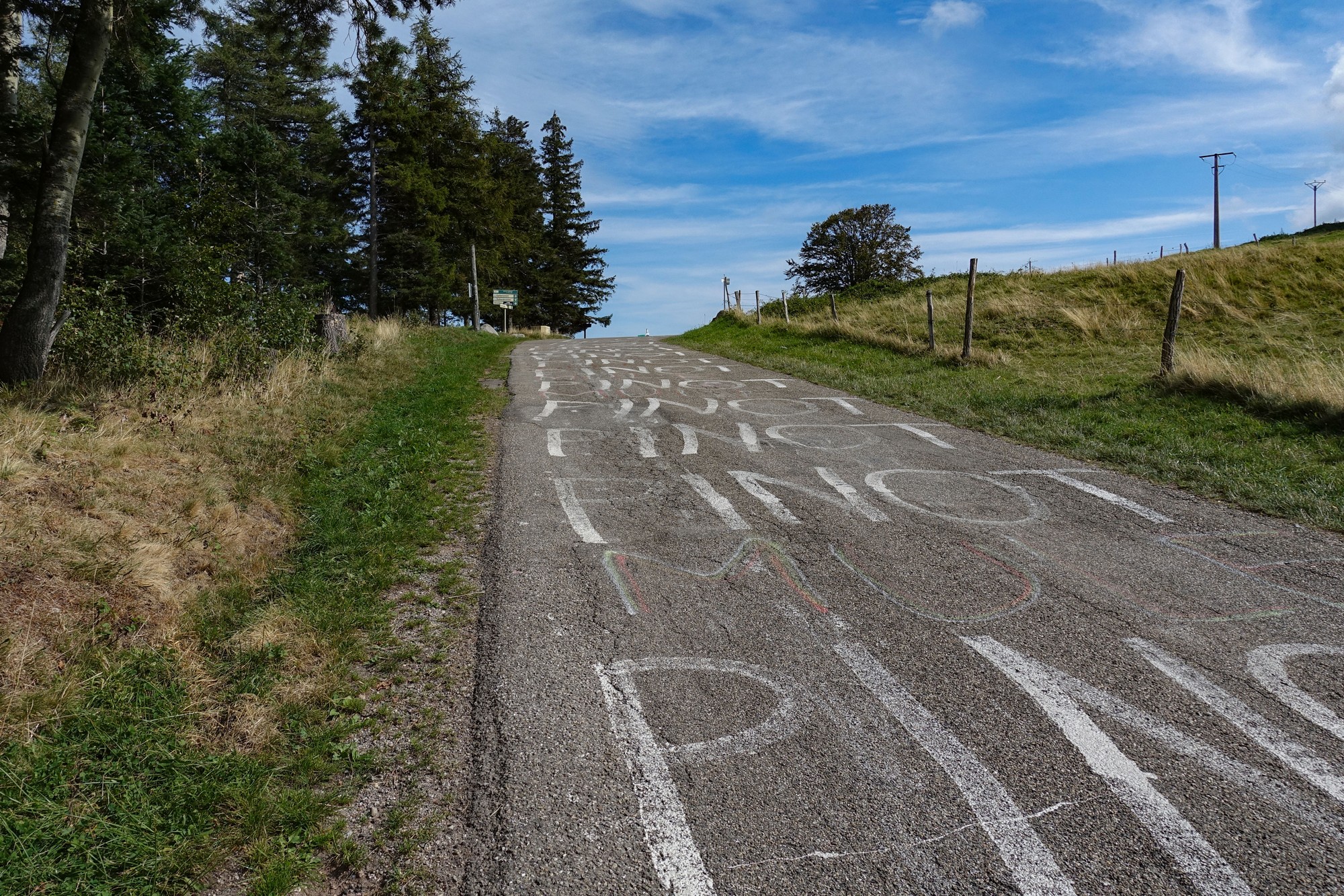
- Col du Petit Ballon (inc. info about Thibault Pinot)
- Belchen System (and the Celtic Solar Calendar – maybe)
- Le Markstein
- 2023 Tour de France Stage 12 (Belfort to Le Markstein)
Fuel
Gallery
Click to enlarge / see slideshow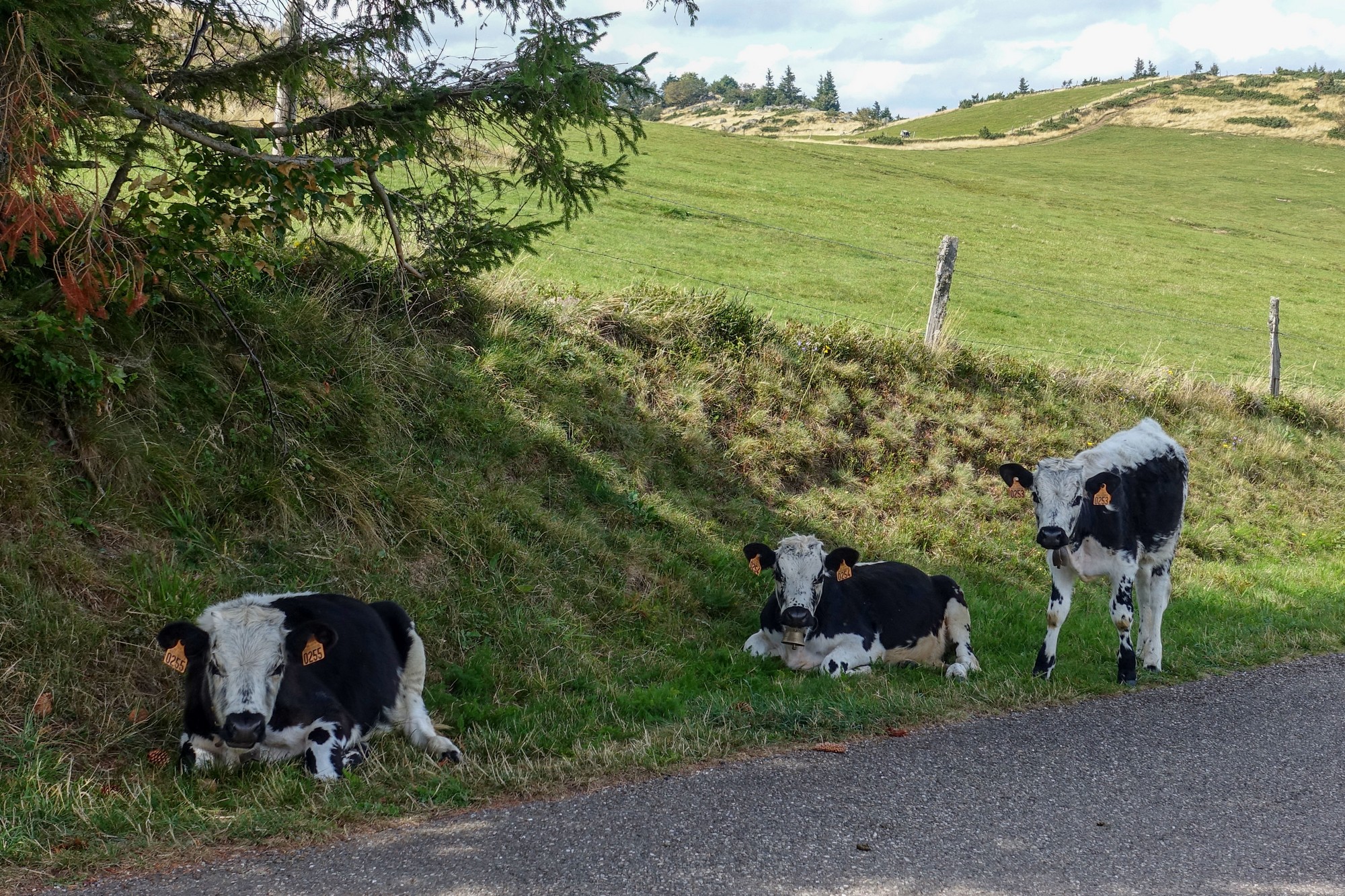
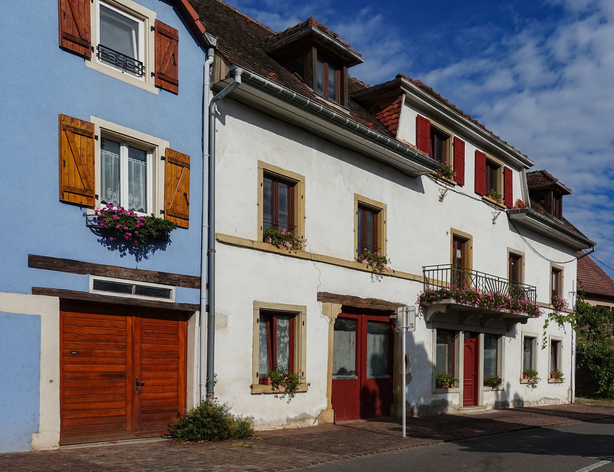


Architecture is Germanic too. Could be in Austria.
Lovely ride.
Indeed. The German border was only fifteen miles away, with Freiburg another seven.
Cheers
Thanks for that in depth report Vince. Very nice! After enduring the automotive chaos around Grenoble, the Vosges seems like a much more pleasant experience. Are you heading south now?
Thanks for your comment Martin. The Vosges has some spectacular roads, largely traffic-free. One more report coming from here, then heading south.