Distance: 46.7 miles. Elevation: 4841 ft.
Col du Lautaret | Col du Galibier
After my ride to Col de l'Iseran, the day before yesterday, I relocated fifty miles due south to Briançon, to take on the south side of Col du Galibier.
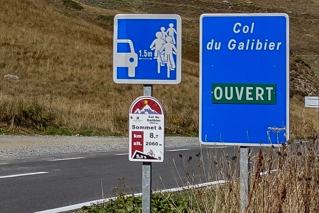
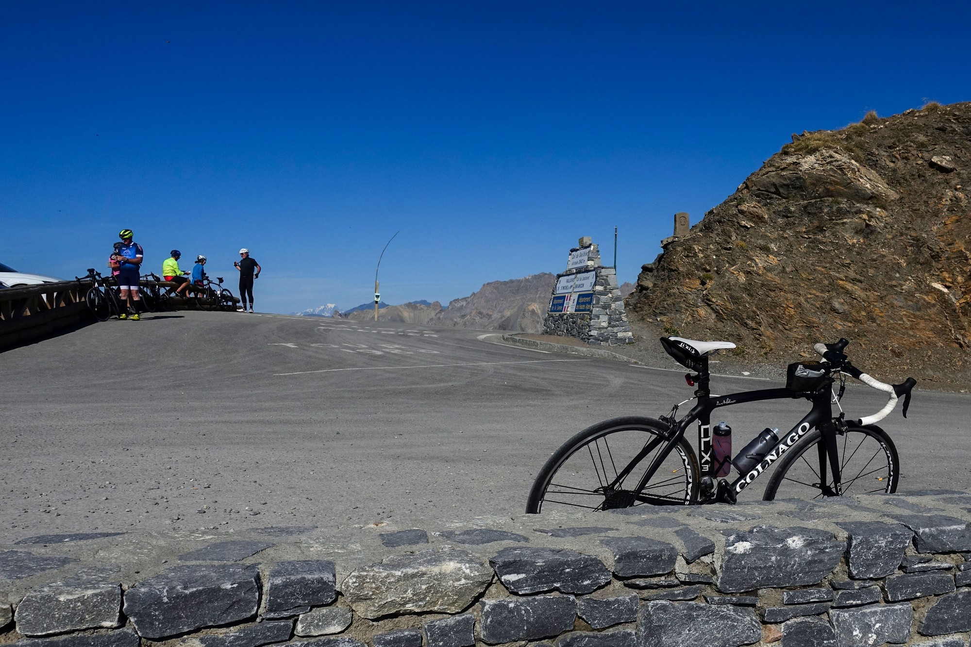
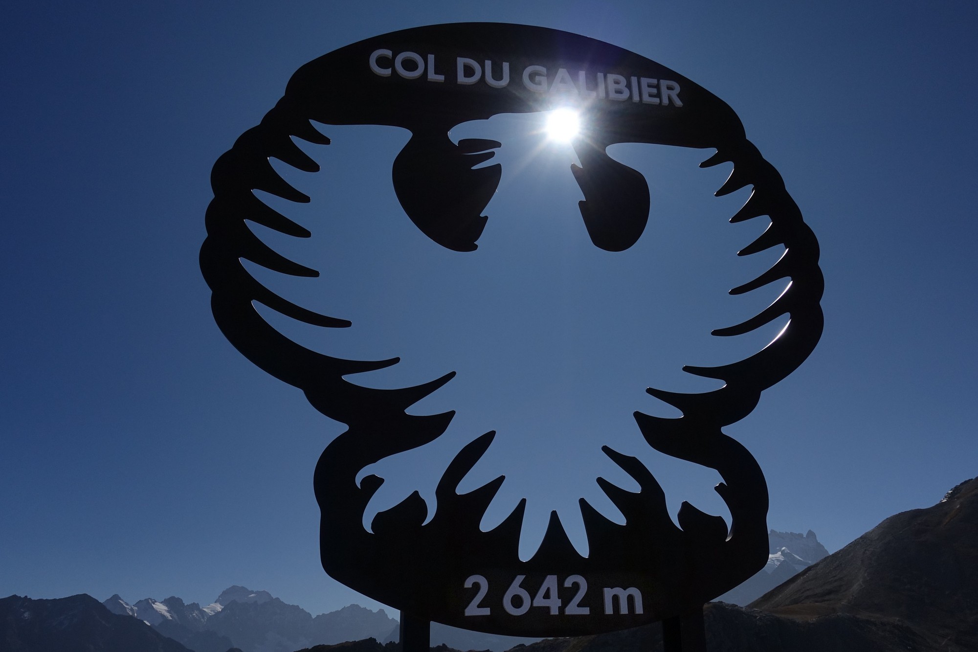
The Col du Galibier is one of the most famous climbs of the Tour de France and has featured more than sixty times since 1911, making it the most included alpine climb in Tour history. At 2,642 metres in altitude it is the fifth highest paved pass in Europe, after Col de l'Iseran (2,770 m), Passo dello Stelvio (2,758 m), Colle dell'Agnello (2,744 m) and Col de la Bonette (2,715 m). So I decided to wear my K20 Cycling Club kit to honour this special climb.
I left at 11:35 wearing my short-sleeved club jersey. The weather was wall-to-wall sunshine, with the temperature in the low 20°C's.
A ROUTE BARRÉ in Briançon forced me to detour back on myself before I could eventually get out of town. The traffic was busy at first along the valley road, gradually diminishing as the ride progressed.
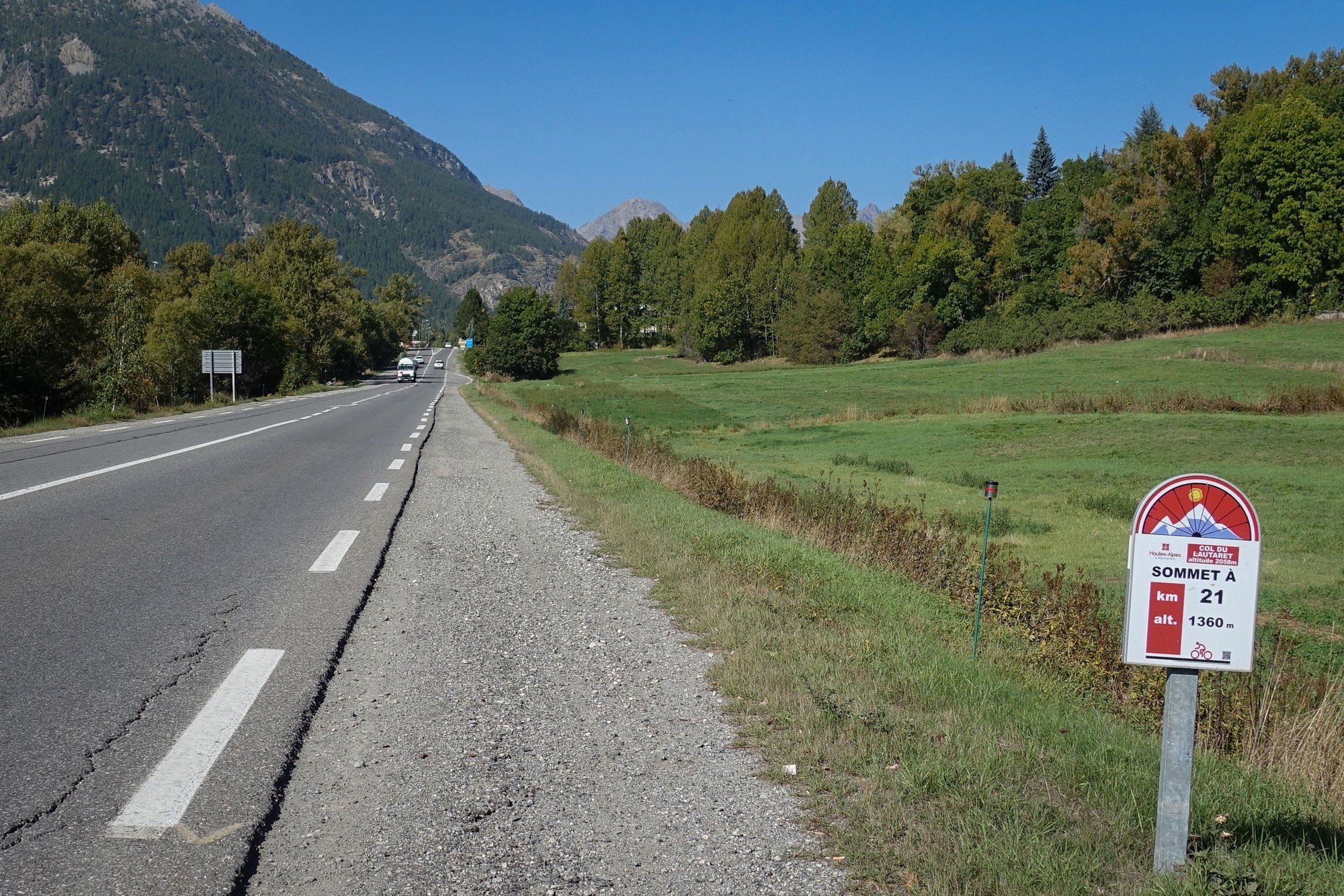
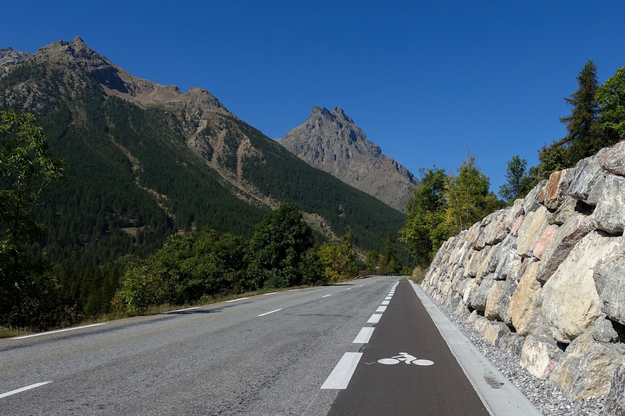
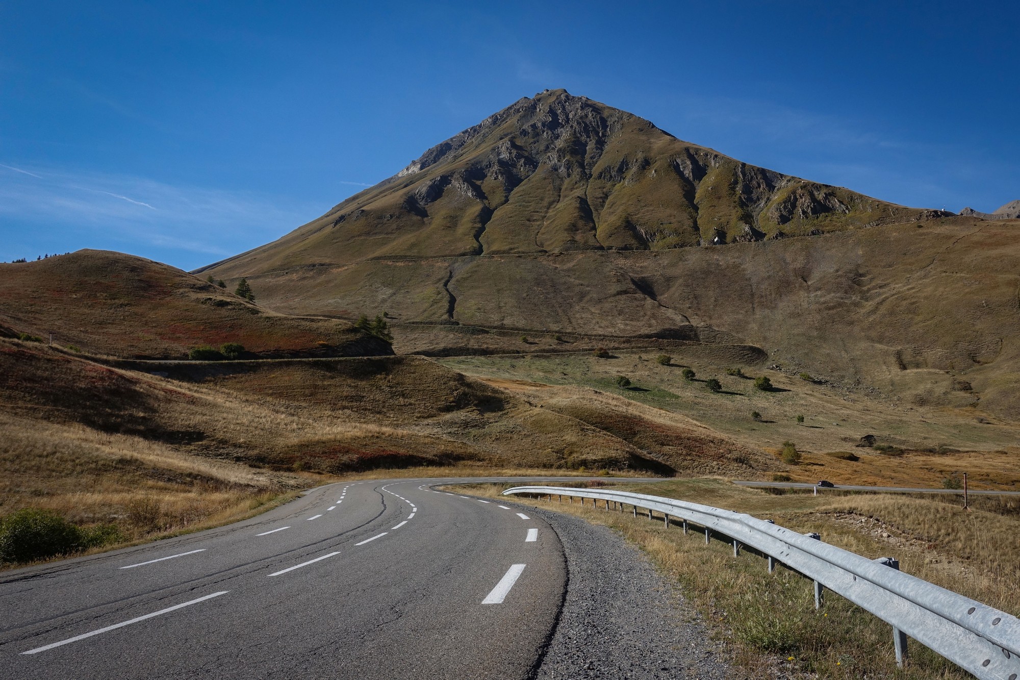
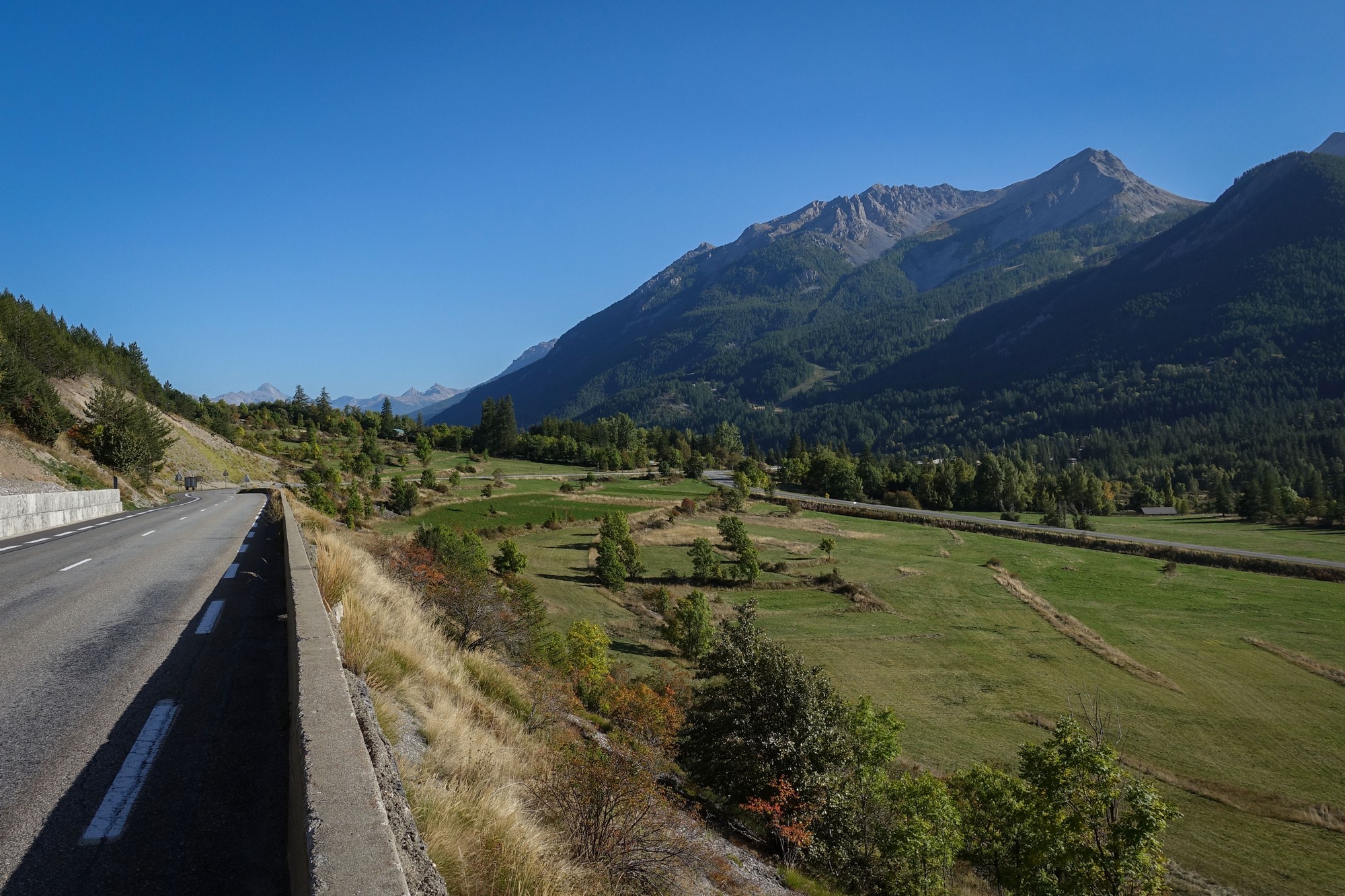
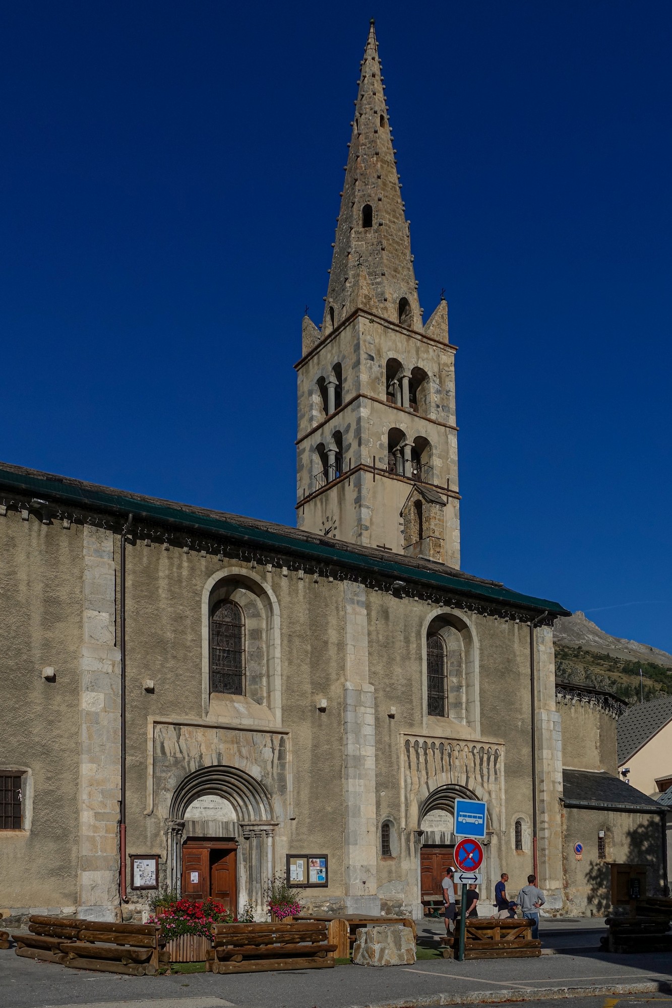
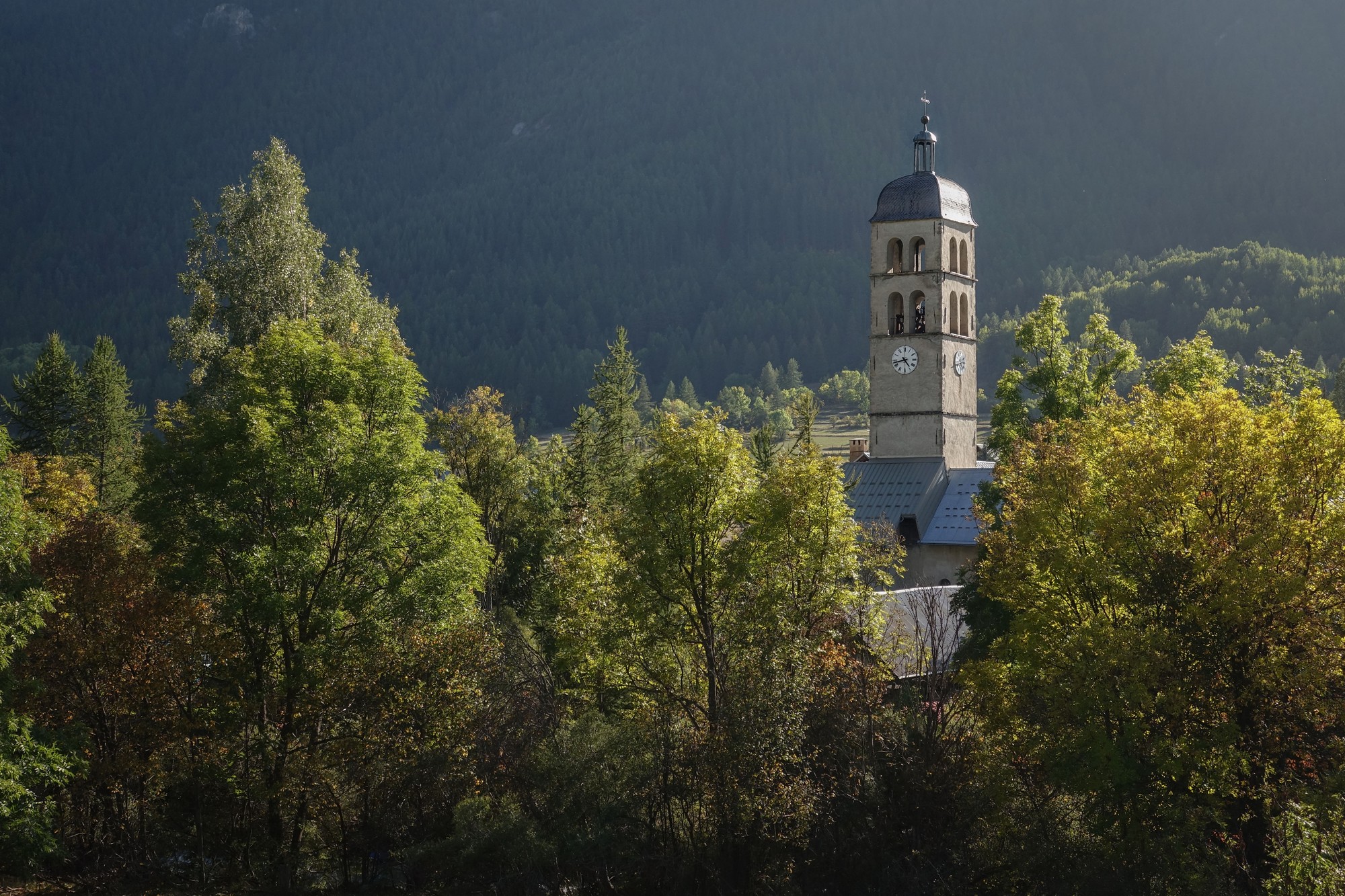
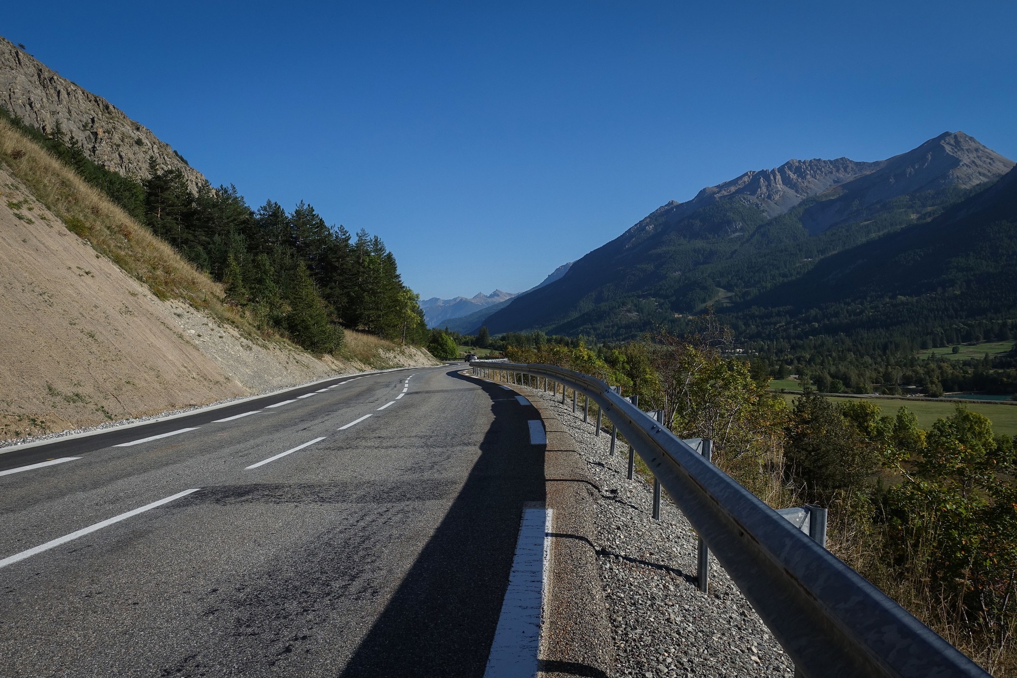
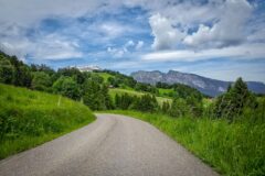
The first part of the ride was eighteen miles along la vallée de la Guisane to the Col du Lautaret. For the first ten miles the road goes through a chain of villages.
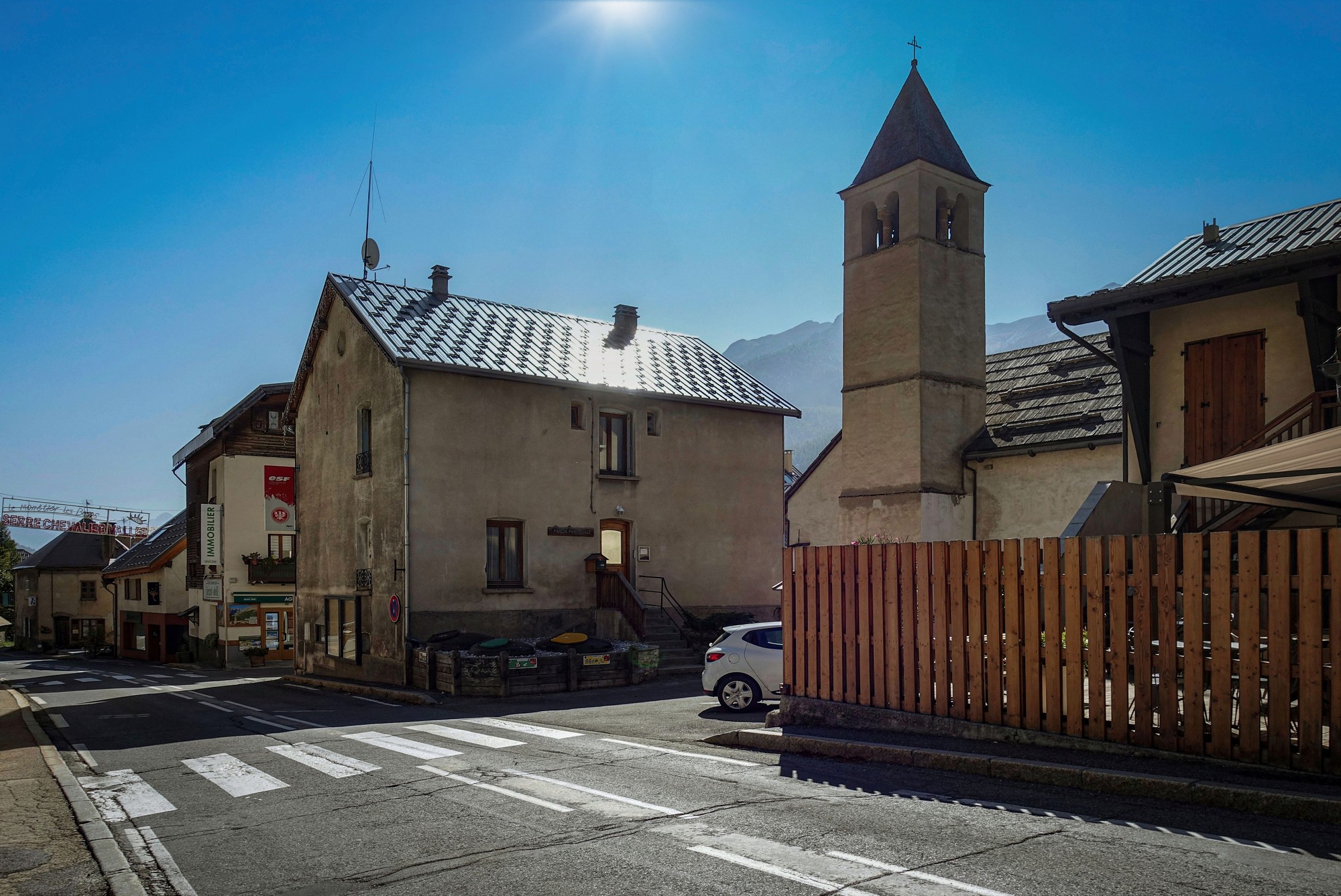
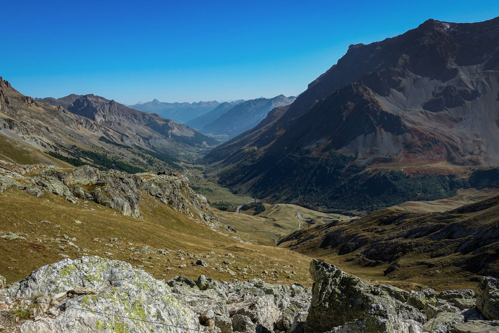
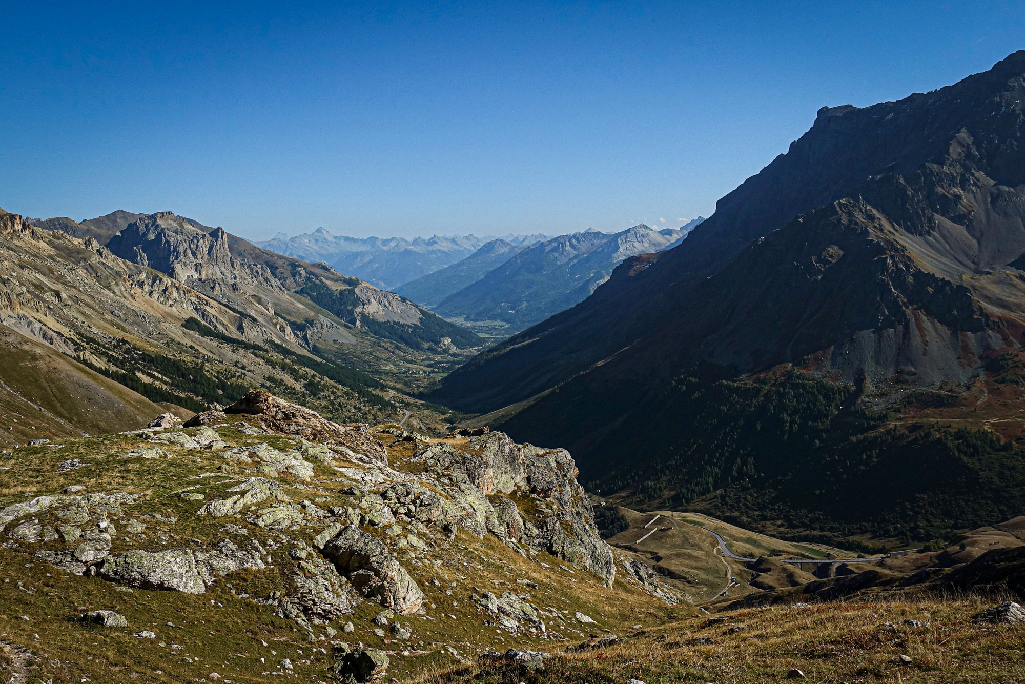
Once past the last of these, Le Monêtier-les-Bains, the view opens out to an uncluttered mountain landscape, as the road sweeps along the wide valley.
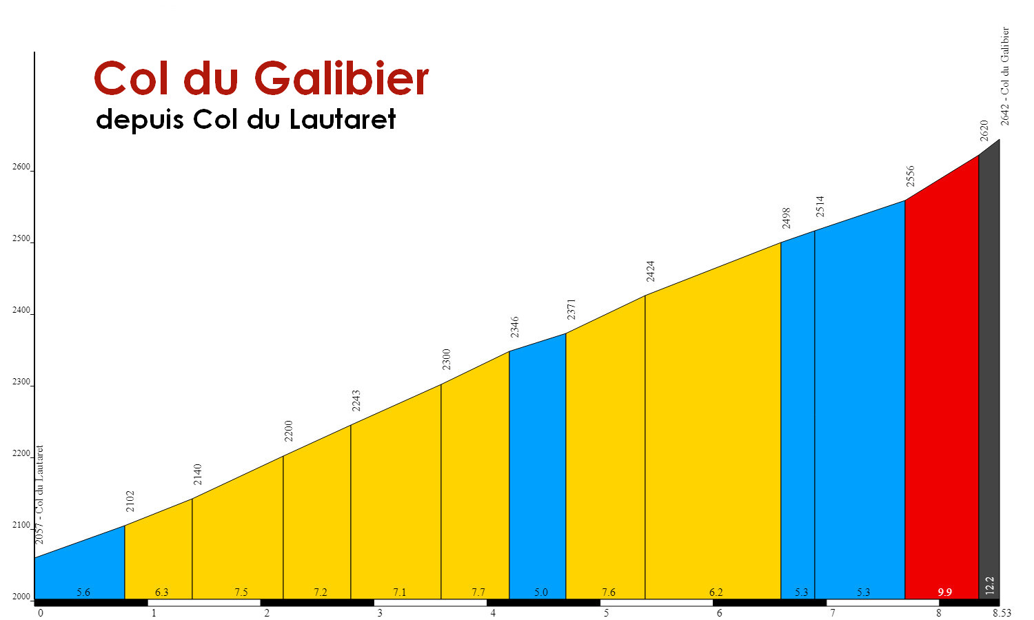
The gradient subtly increases all the way to the Col du Lautaret, from 0% outside Briançon to around 5% coming up to Col du Lautaret, eighteen miles later.
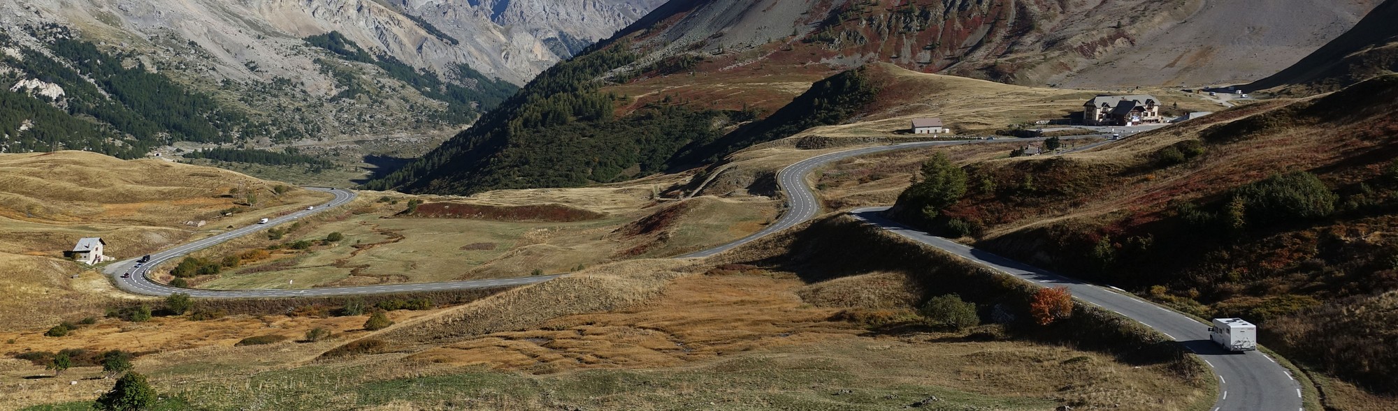
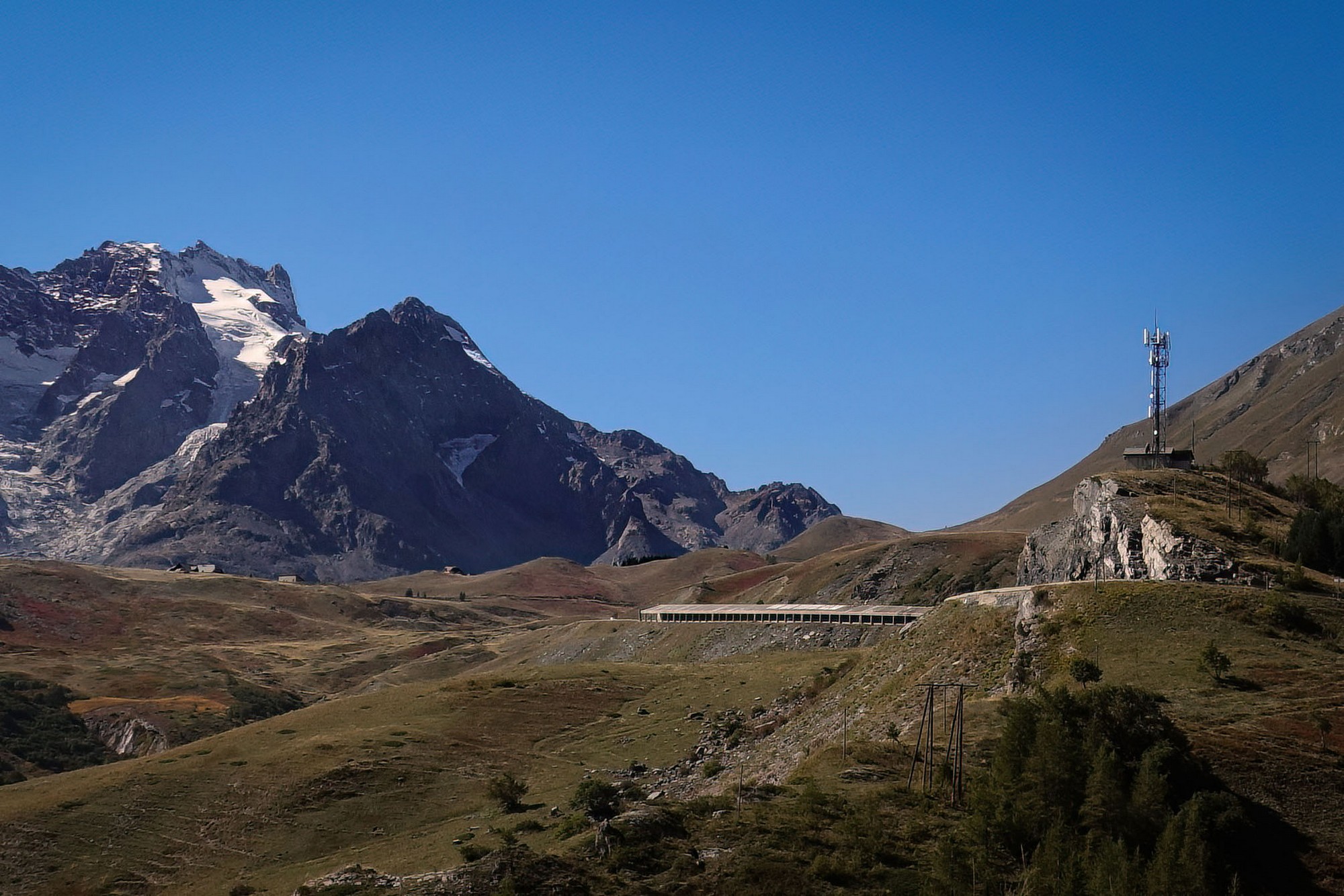
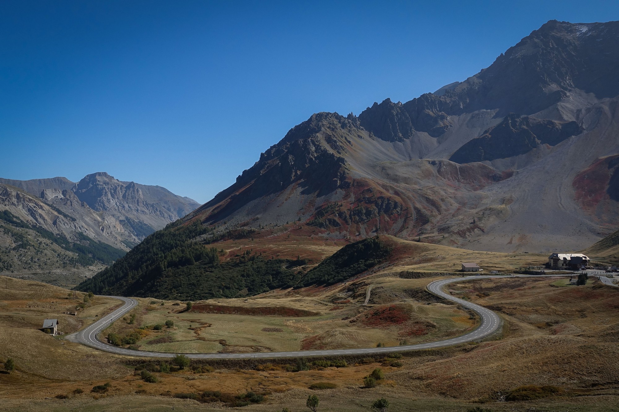
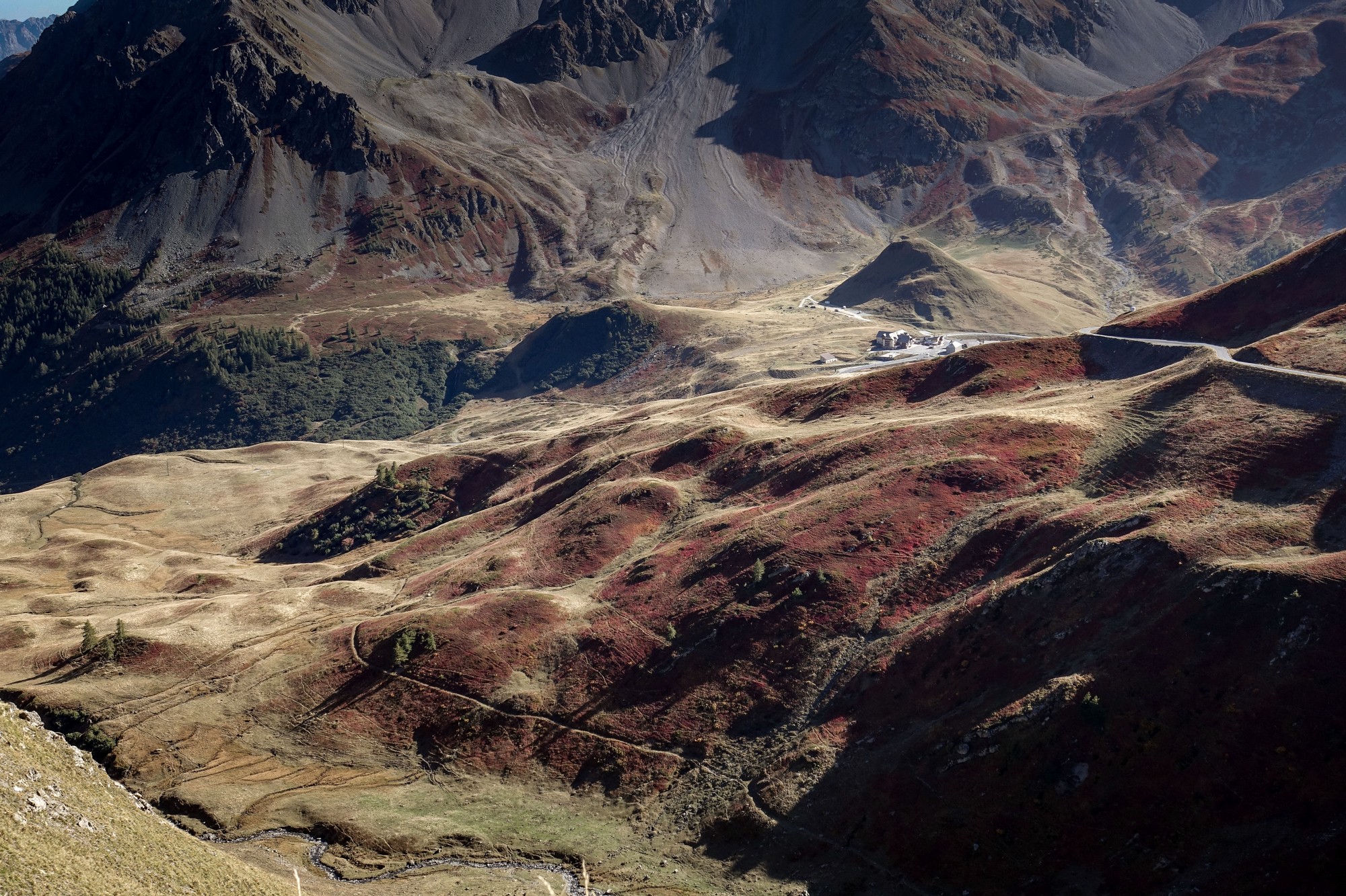
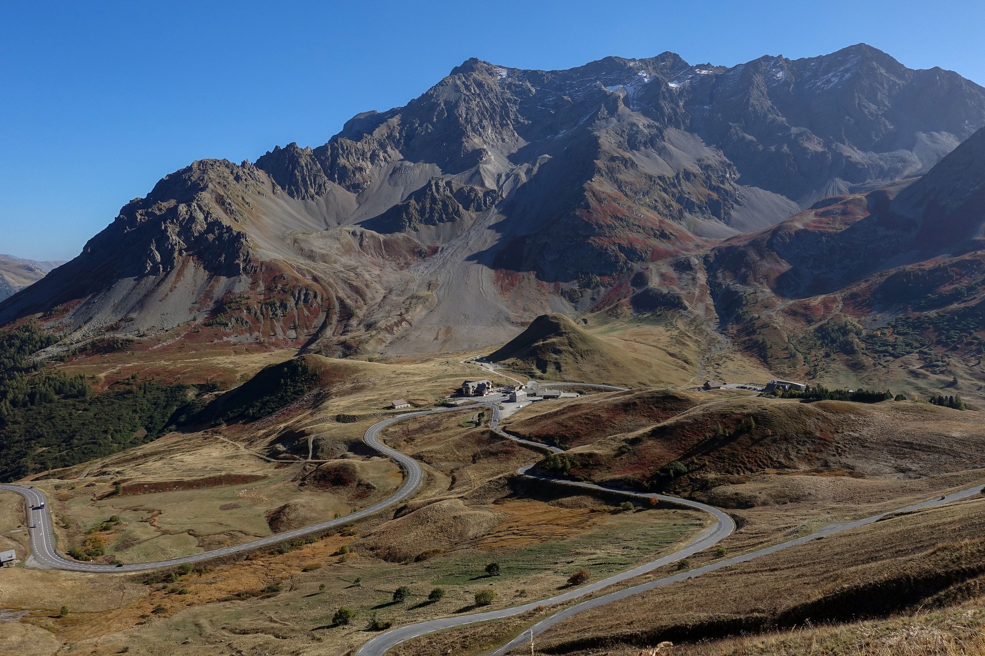
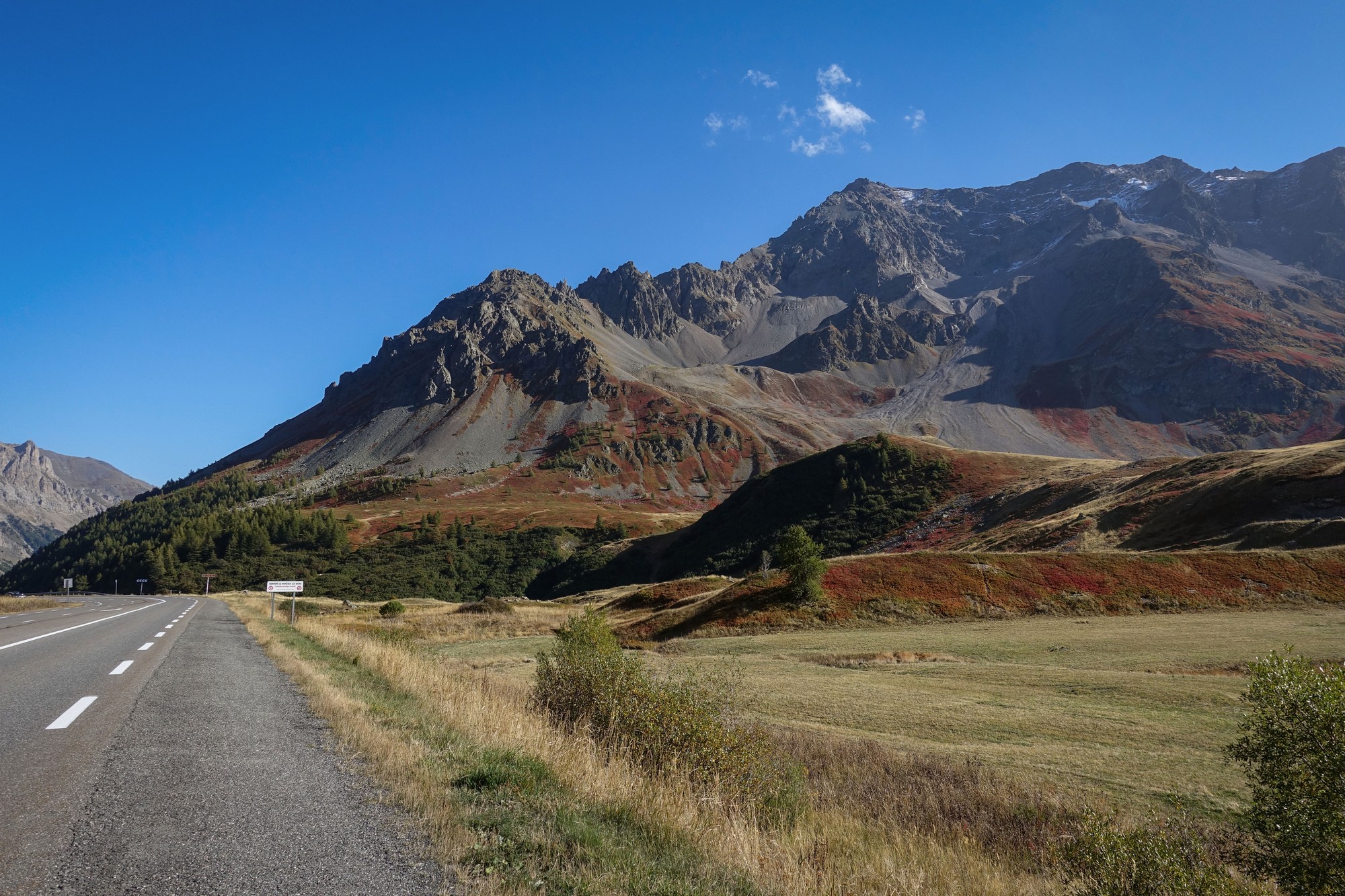
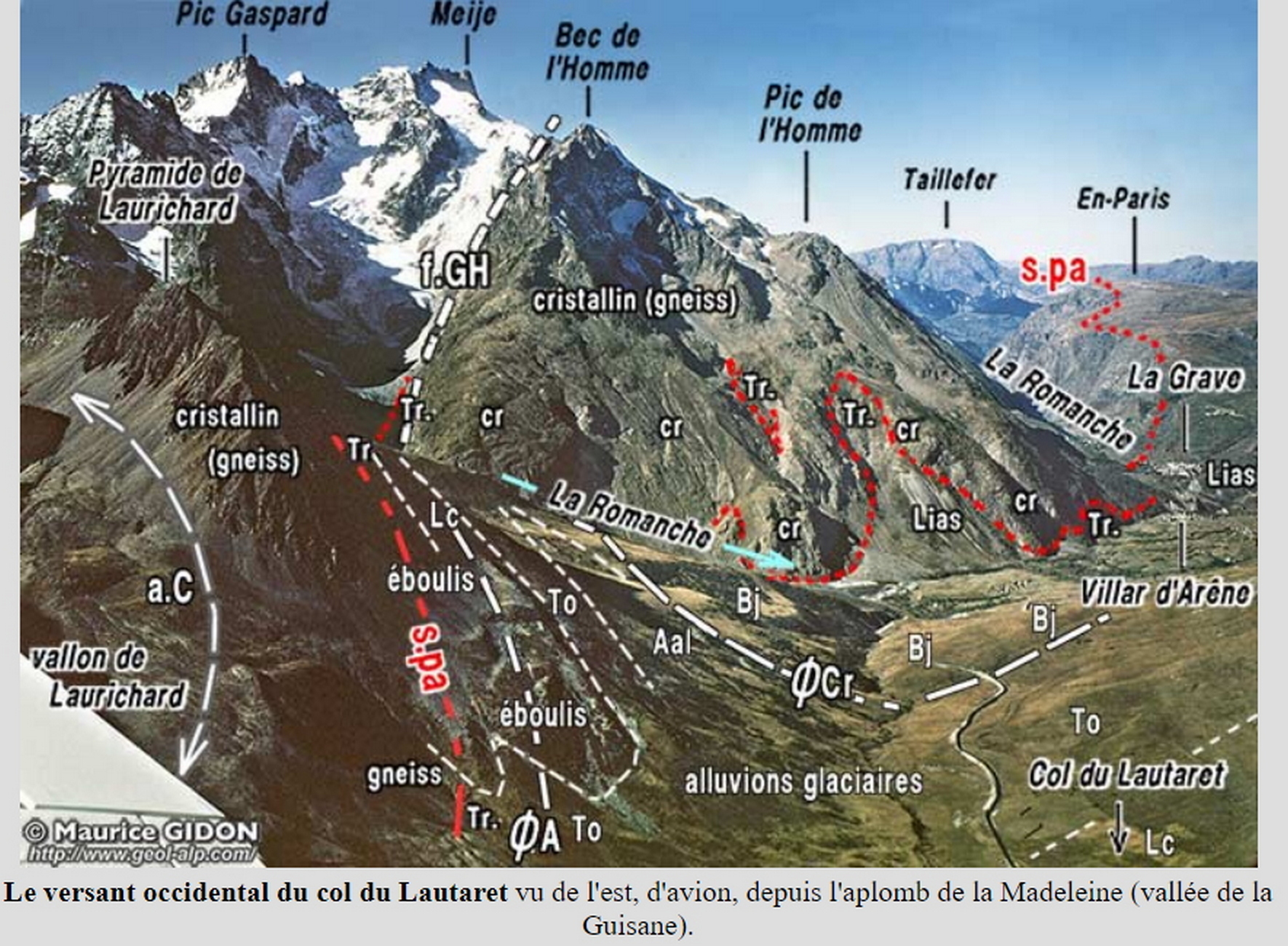
With three miles to go before reaching Col du Lautaret, the landscape ahead opens out as the road sweeps round the widening valley, with Crête de Chaillol dominating the skyline ahead.
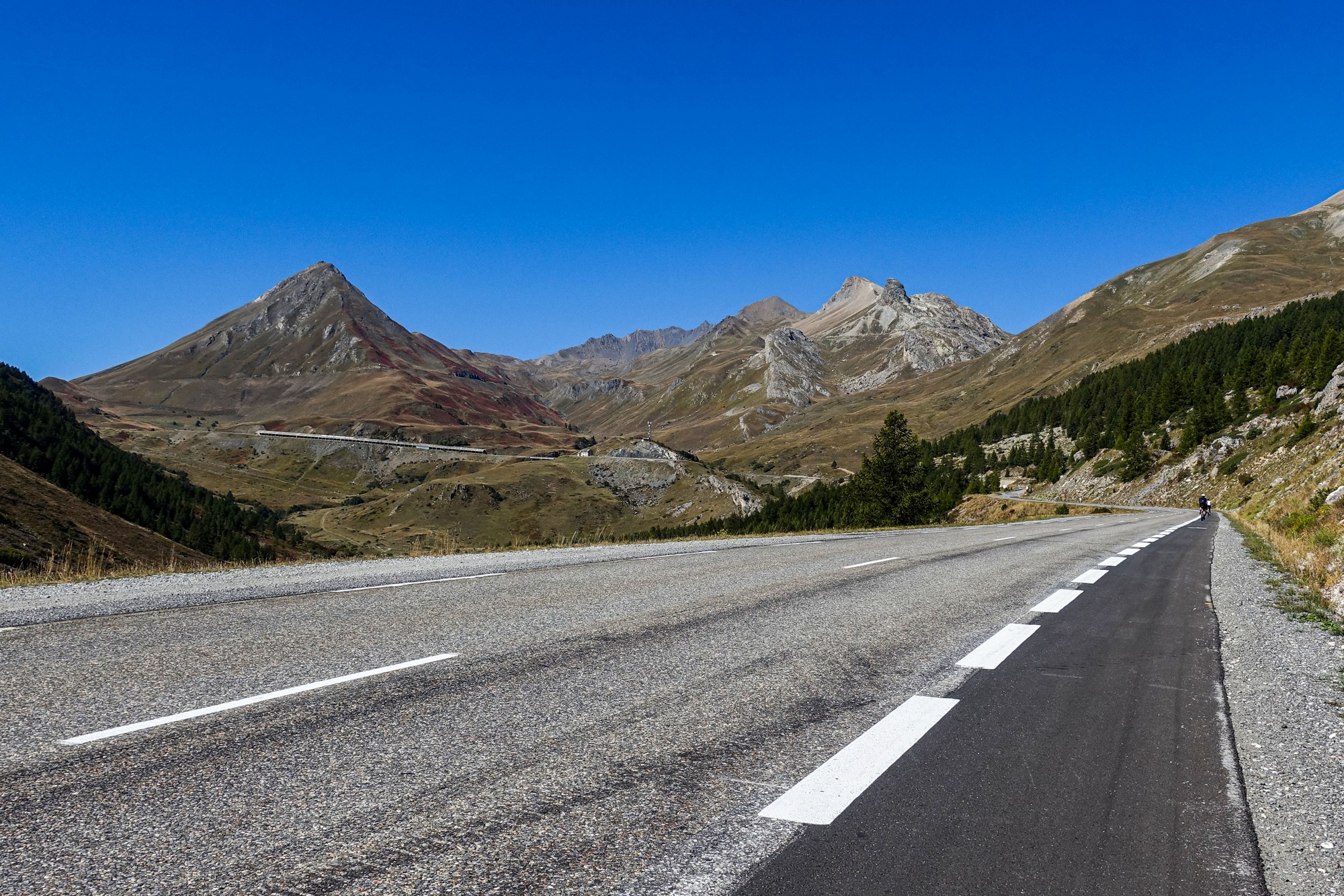
Little did I know when I took that photo above that the Galibier road was visible, cutting across the face of Crête de Chaillol and winding its way up the mountains to the right. In fact it's possible to see the col itself from certain points on this road, as evidenced by the fact that you can see this road from the col. Below Crête de Chaillol the long avalanche gallery can be seen.
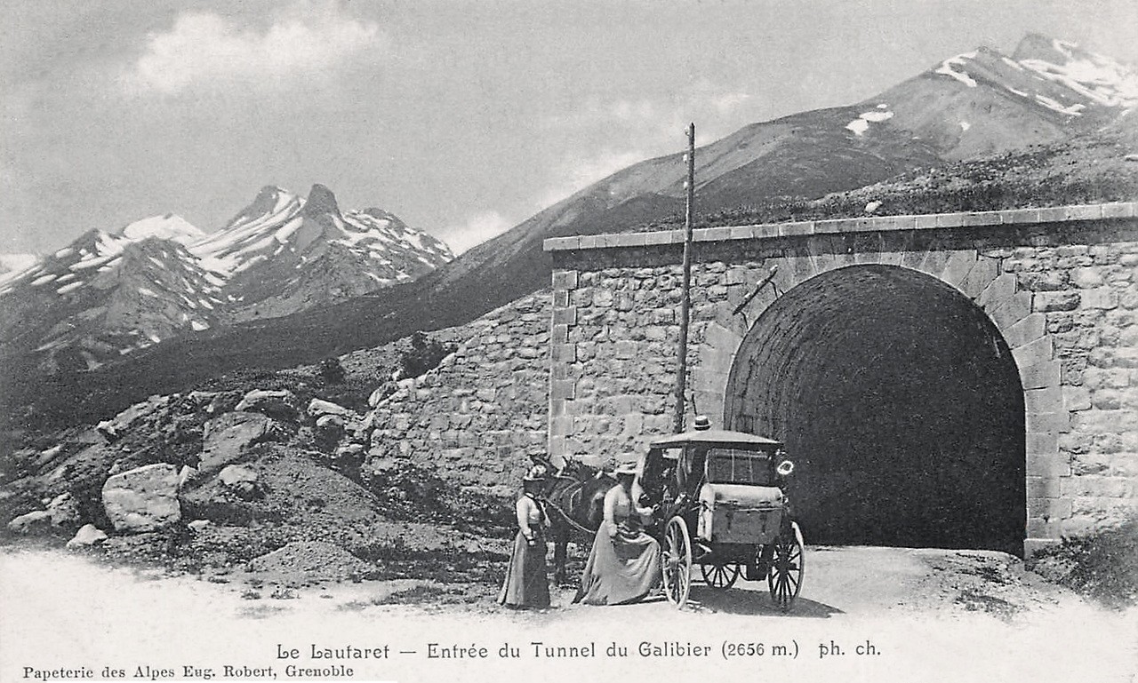
Further along that stretch are two tunnels that intrigue me, Tunnel des Vallois and Tunnel du Rif Blanc. Often a tunnel gets built to bypass a dangerous road, but in this case the road bypasses the tunnels. The tunnels look older than the road, and yet they haven't been closed-off.


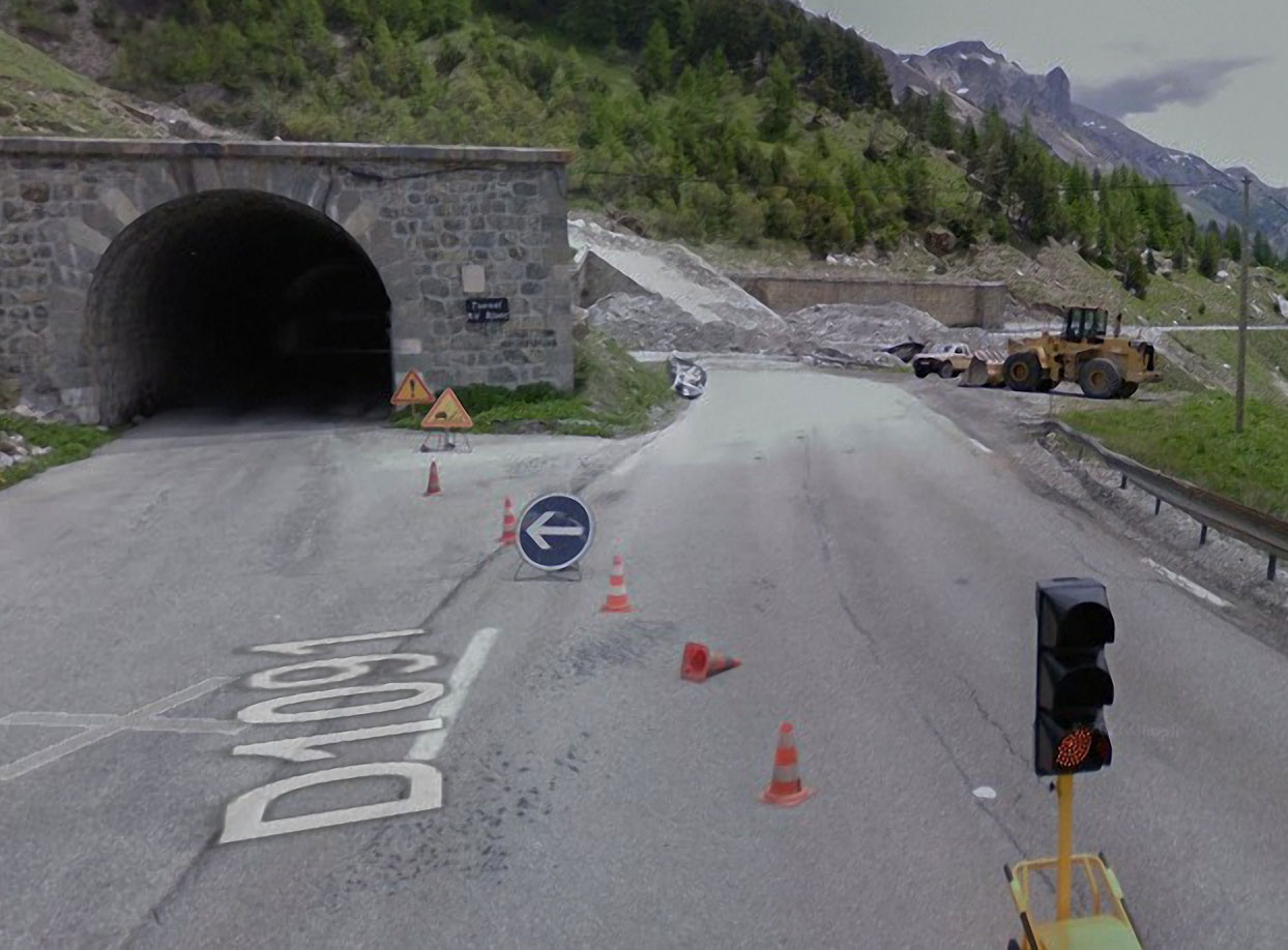

That same year, 2015, saw another huge landslide further along this road on the other side of the Col du Lautaret, which closed the Chambon Tunnel and forced the Tour organisers to cancel the Col du Galibier climb that year, diverting instead over Col de la Croix de Fer.
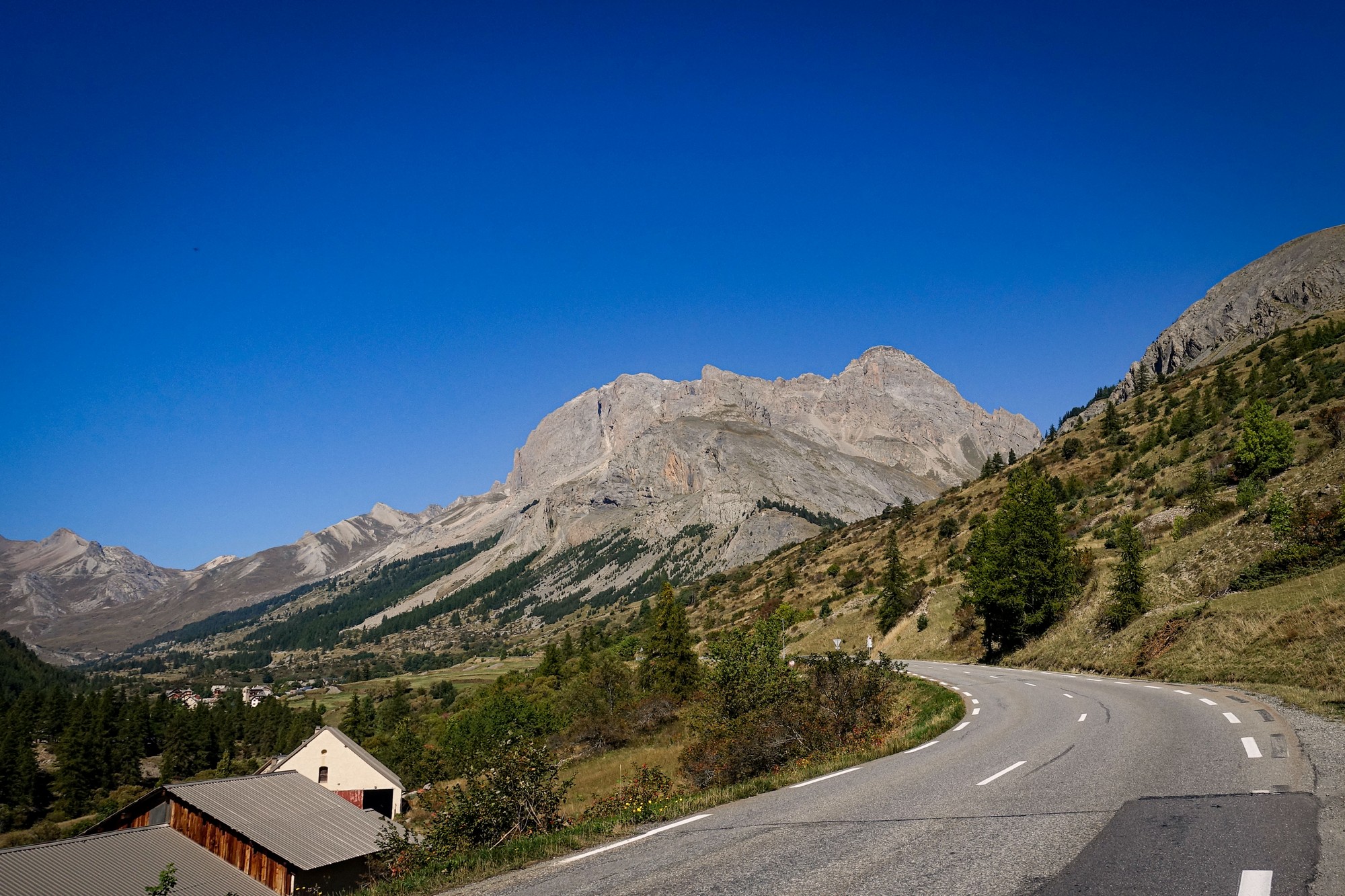
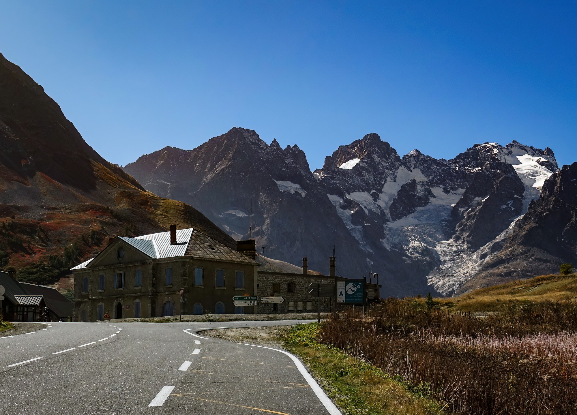
Past the tunnels the road curves to the left for the final approach to Col du Lautaret. And now the view is dominated by La Meije (3,984 metres).
The sun had been on me the whole way and I was getting a bit of a headache. I think it was because I had my cap on under my helmet and my head was too hot. Anyway I took a painkiller, and took my cap off and stuffed it in my back pocket for the coming climb.
There's some really weird road surface just at the Col du Lautaret, with glass embedded in the tarmac. I just hoped it stayed embedded. It felt very odd riding on a surface with fragments of glass twinkling in the sunlight!
I'd seen about ten other cyclists up to that point. In general the road had been quiet up towards the Col du Lautaret, often with no vehicles within earshot. The traffic at the start of the ride had evidently been just local to Briançon.
The ride to that point had taken more effort than I had expected. I think I had treated the first section of this ride as not much more than a flattish ride up the valley. In fact I had climbed nearly 3,000 ft over those eighteen miles. I was glad when I saw the first km borne telling me the Col du Galibier was only 8k away. Just 5 miles, I thought. Hopefuly just over an hour. That's peanuts after the crazy distance of the Col de l'Iseran.
I had half my HDM sandwich and an energy gel, and began the climb to Col du Galibier.
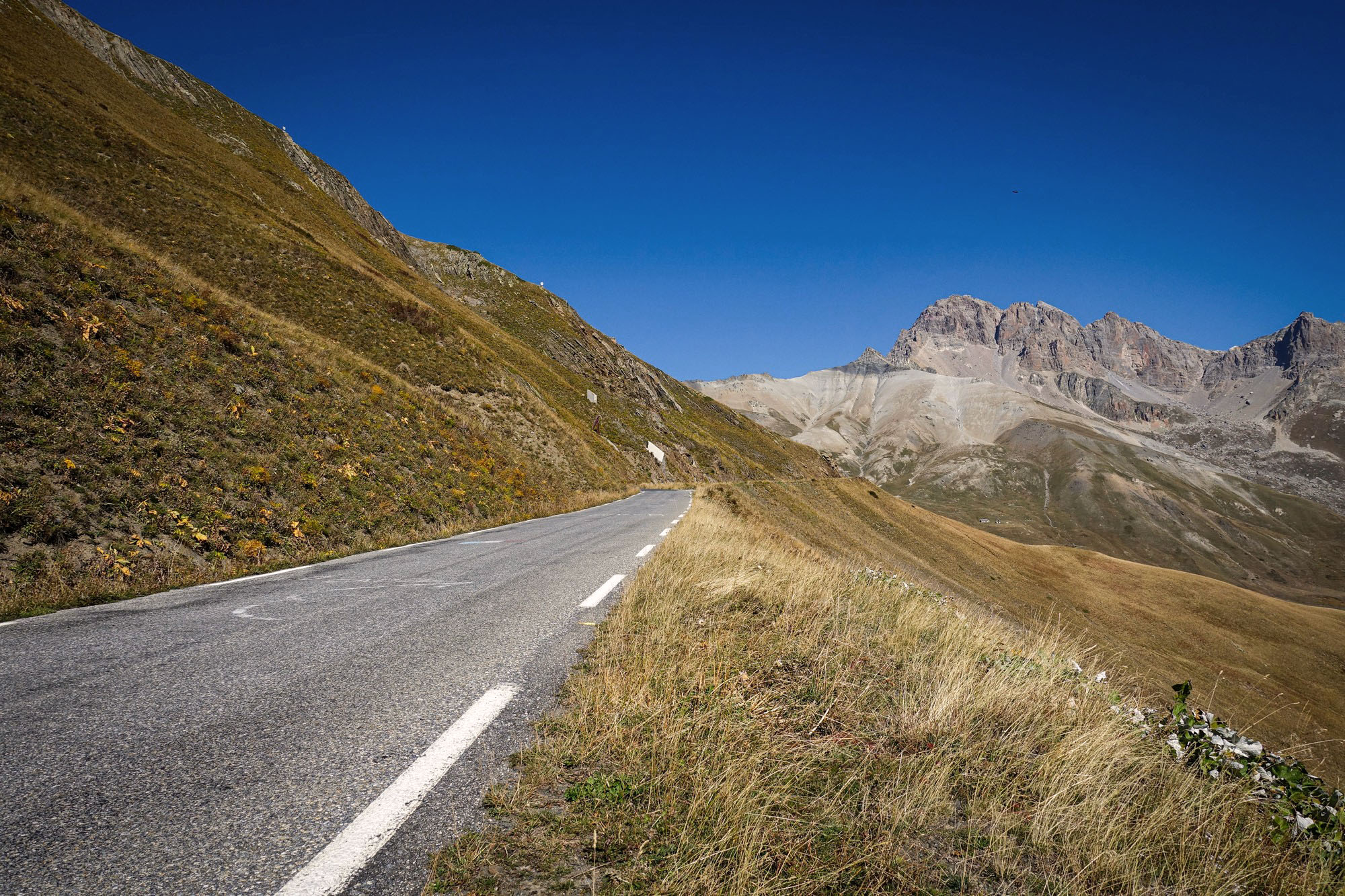
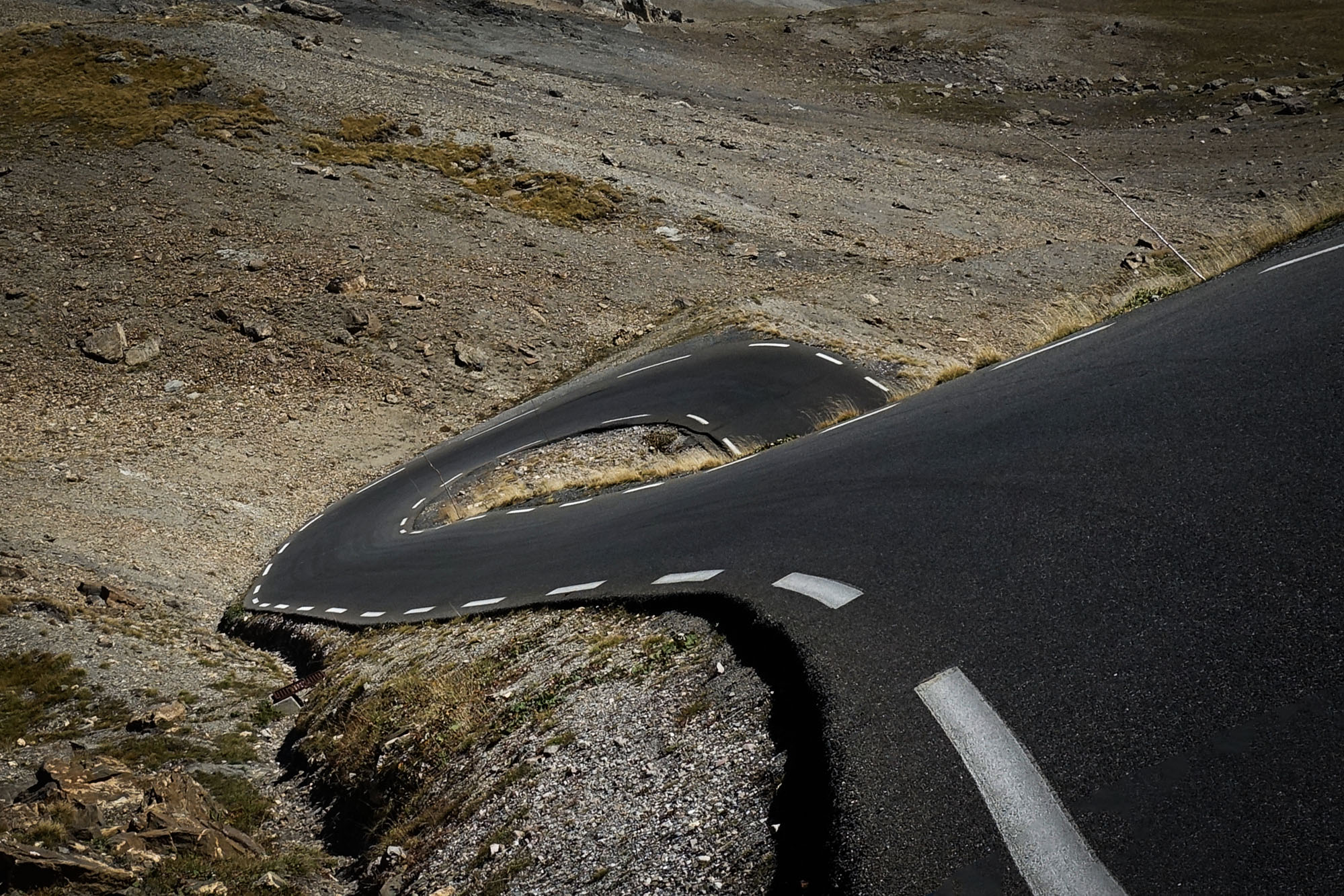
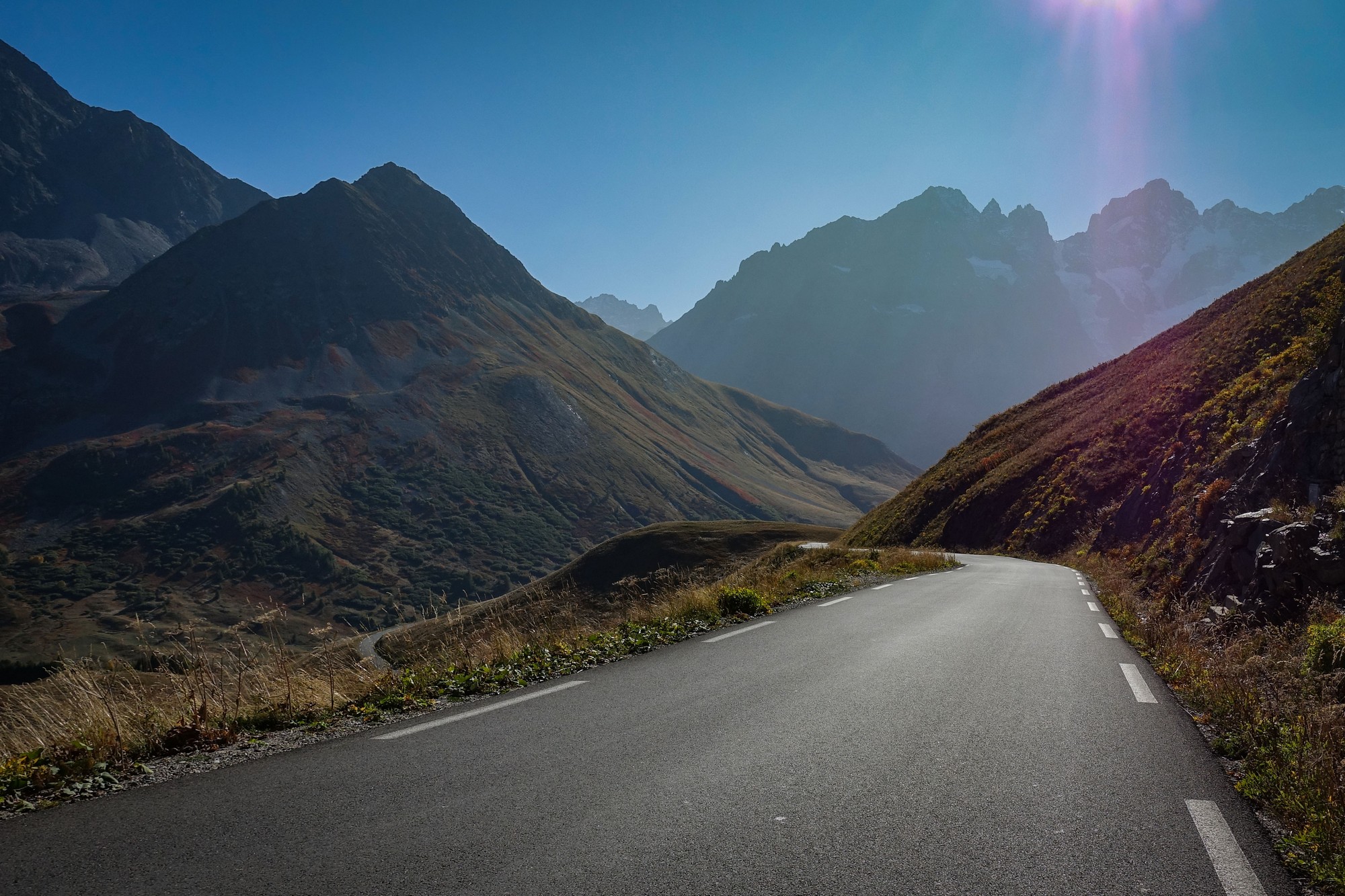
Most of the km bornes were missing, so I estimated the halfway point and had another energy gel. Needless to say the scenery was so spectacular I had to keep stopping for photos.
Traffic was very light. Just the odd motorbike going by mainly.

There had been a tailwind up the valley, I realised. That was helping me on the sections of road facing NW, and obviously the wind was in my face when the road switched back on itself. Gradient was around 7% I think. I was mainly in 2nd gear and sometimes in 1st.
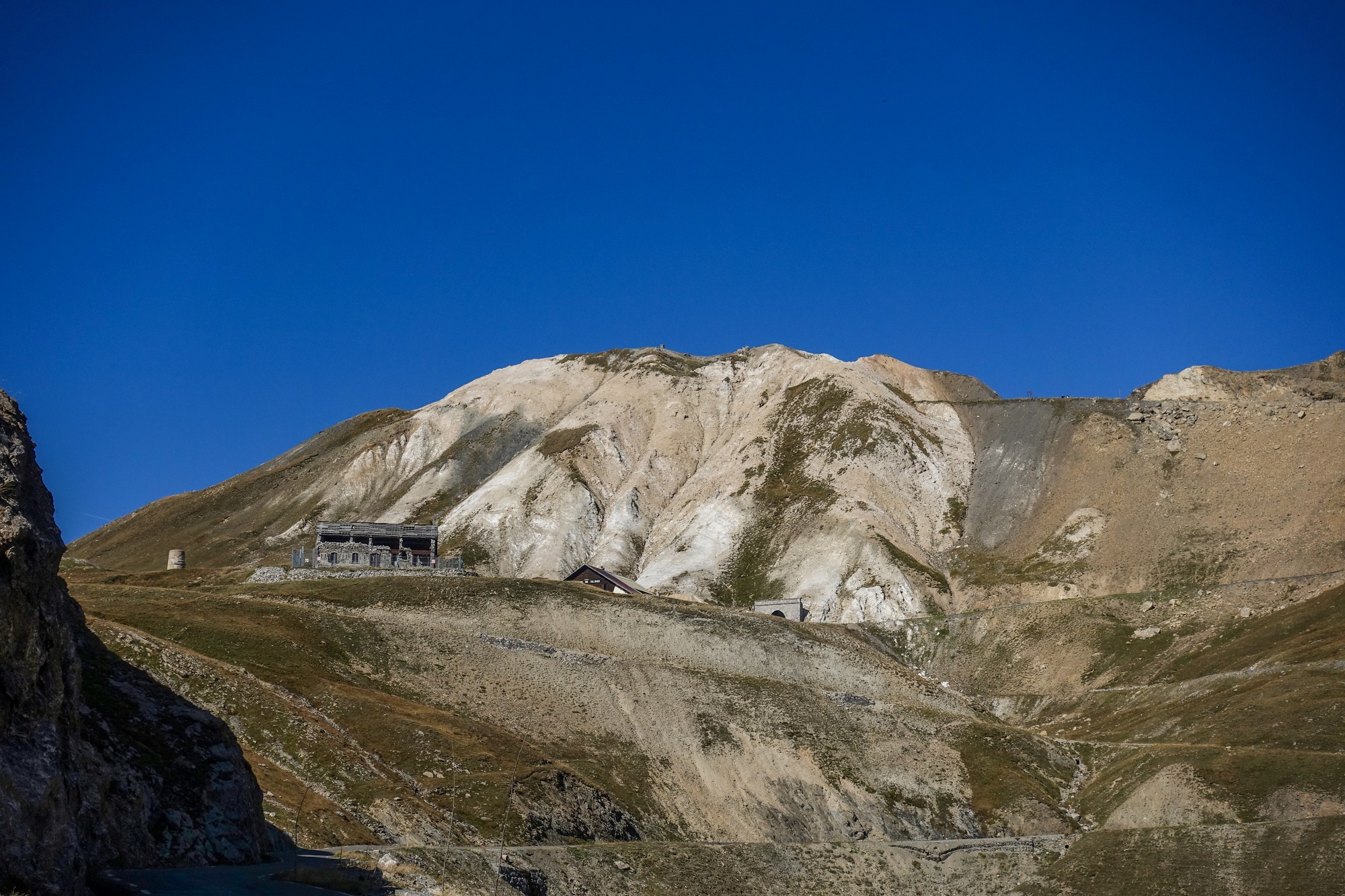
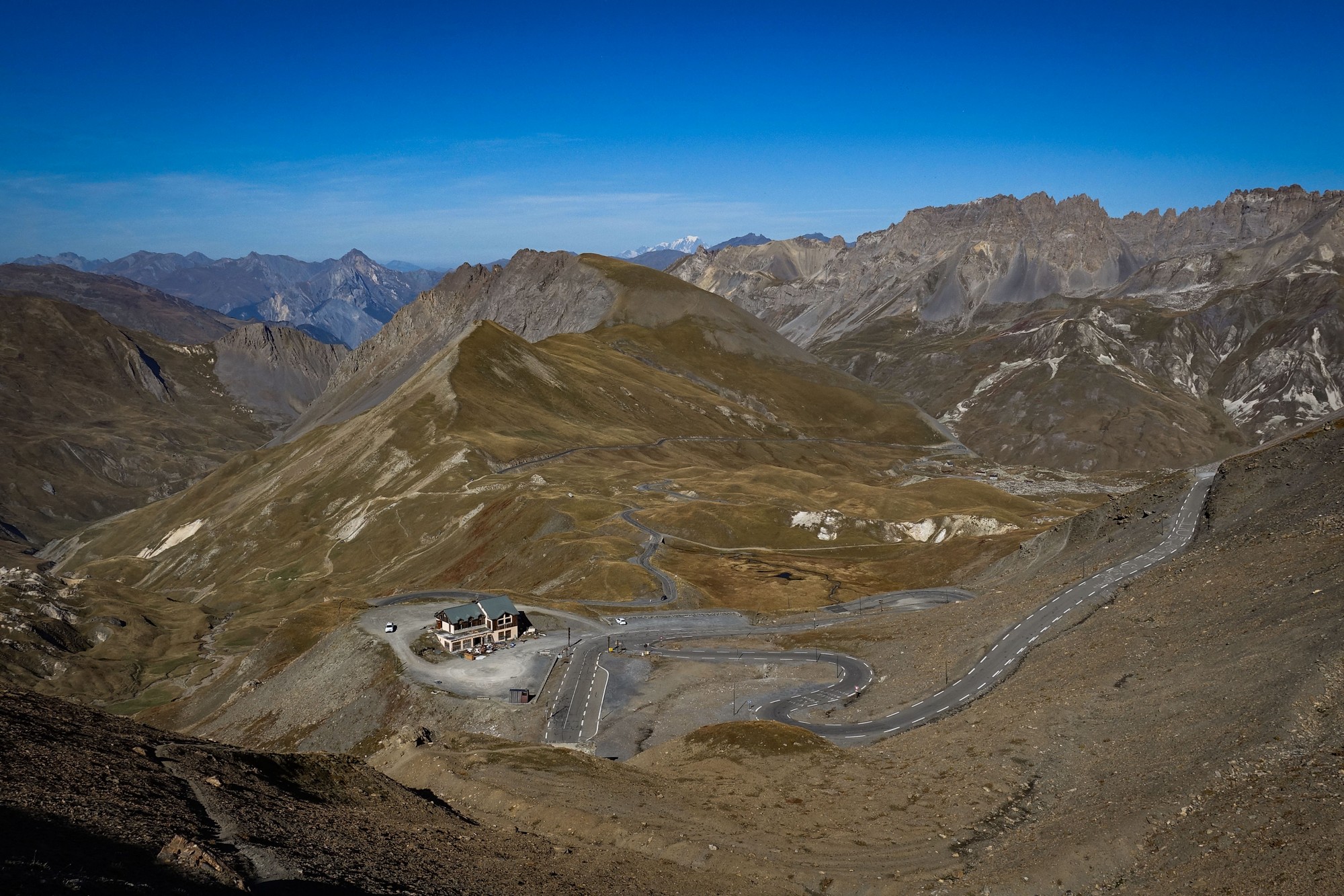
Eventually I saw the mouth of the tunnel up ahead and people at the col above. It's good when you can finally see your destination.
For that next mile and a half before the tunnel I made an effort to breathe quite rapidly. Obviously the air is thin at these altitudes and your body doesn't always automatically adjust. Breathing sufficiently helps prevent achy legs I've realised.
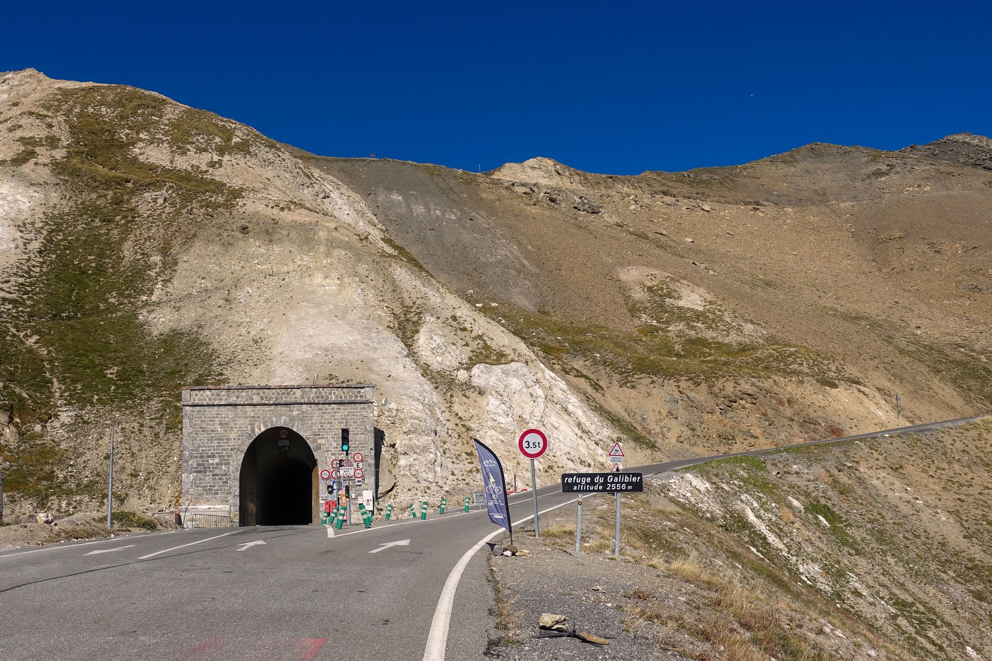
I already knew that the bit from the tunnel to the col was steep, and it was, in parts. It starts off really steep, I'm guessing about 15%, then pegs back somewhat before rearing up again for the last few hundred metres before the top. Still, I found it manageable.
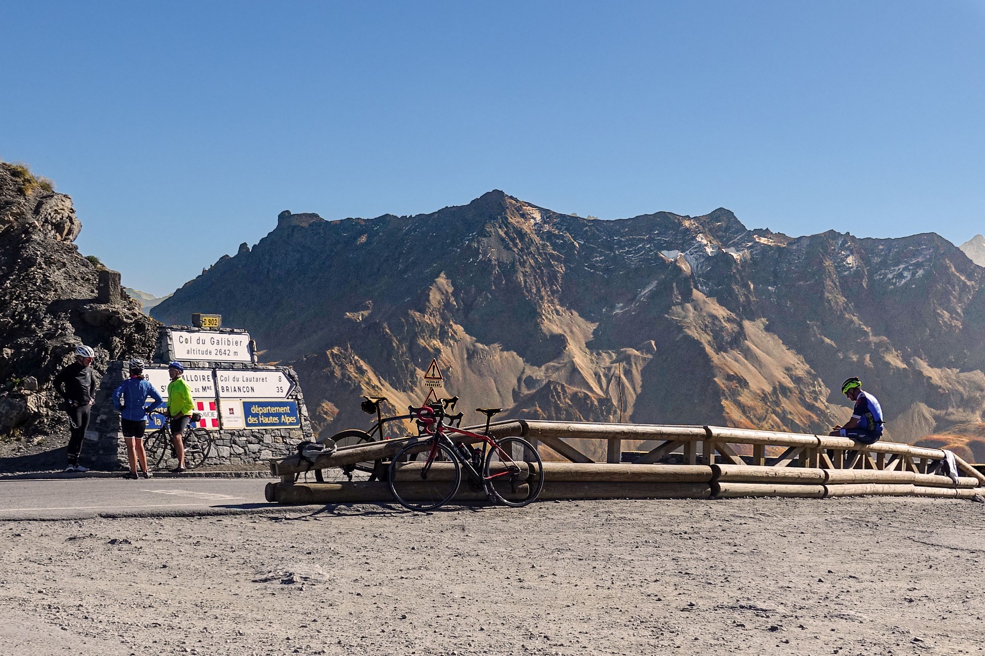
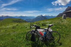
The temperature at the col was perfect. I felt no need to put all my warm gear on. In fact it was around 16 or 17°C. Even the breeze up there felt mild. That's probably often not the case I dare say.
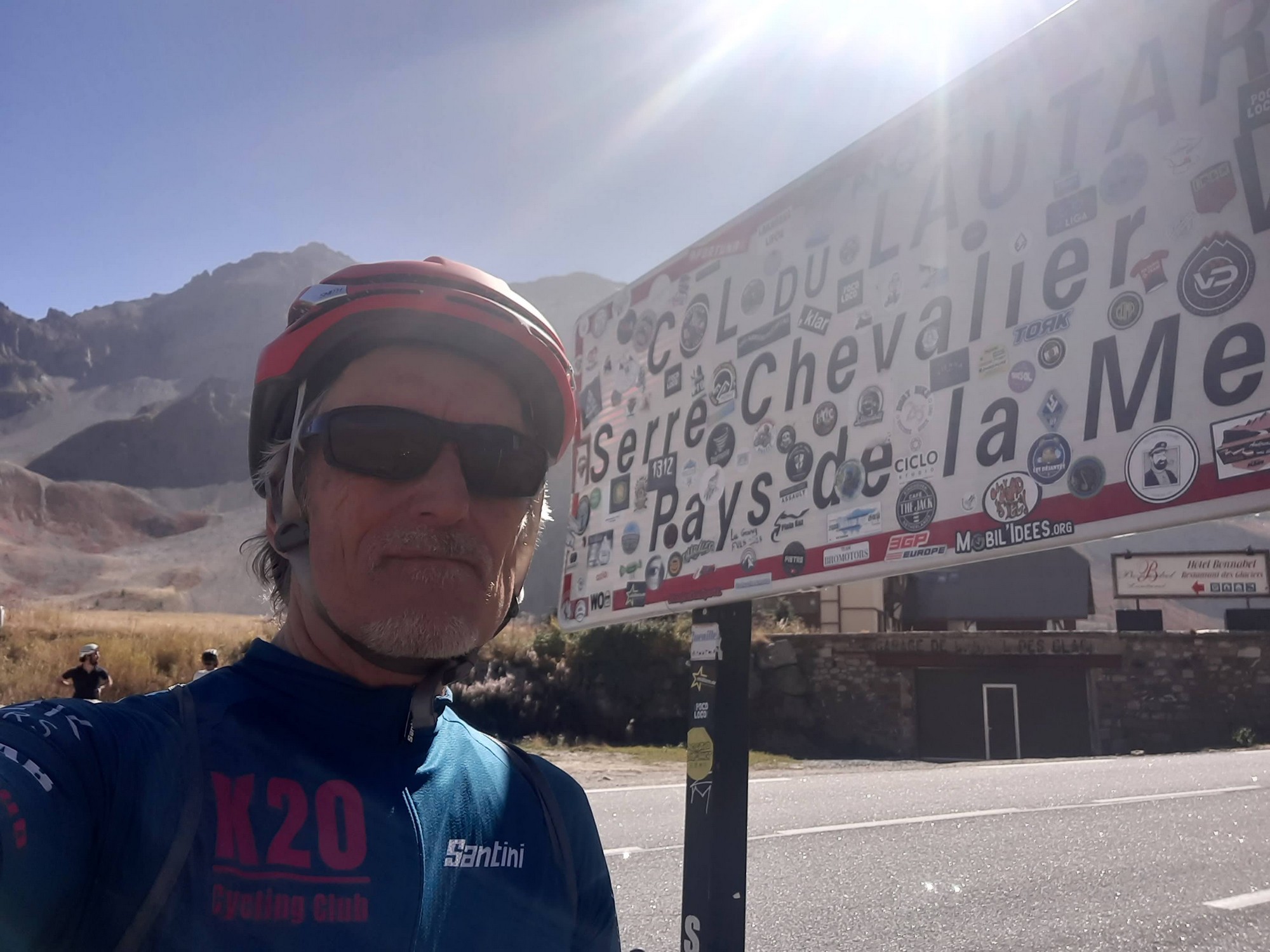
Another cyclist offered to take my photo in front of the col sign and I accepted. He seemed to be having trouble with my phone but he knew the trick of taking several shots to maximise the chance of a good one.
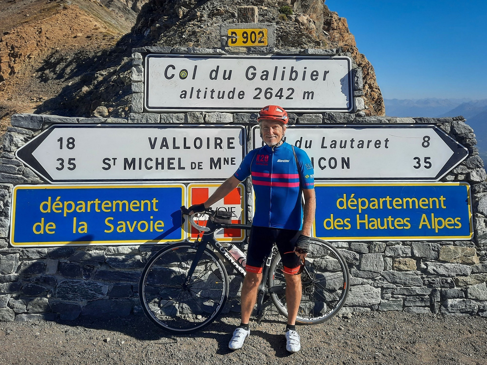
I did put my rain jacket on (but no snood or arm warmers) and my cap back on, partly for warmth - partly to stop glare from the sun.
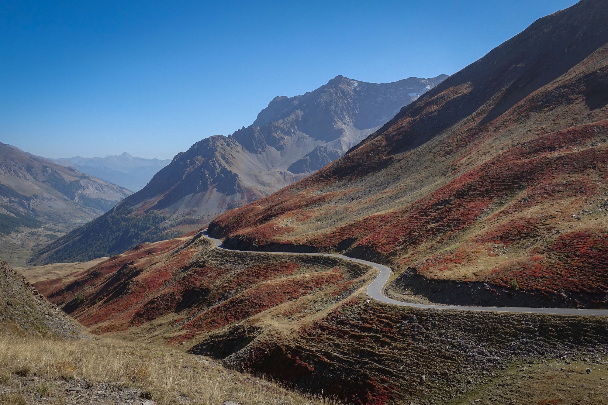
I had the second half of my sarnie and switched my bidons over so I could have the full one on the way back. I probably could have done the descent without wearing my rain jacket, because I kept stopping for photos anyway. I mused once again how great scenery spoils the fun of a descent because you have to keep stopping. The descent from Mont Ventoux you can enjoy to the fullest because there isn't much to look at.

I realised I might be duplicating photos, but as the sun moves round it casts a different light on views you saw before.

There were some beautiful rust colours which I'd seen on the Col de l'Iseran ride. Also I saw some of that pale green lichen or whatever it is, on the rocks, which I'd first seen on my ride to Col de Bonette from the south.

So, apart from stopping for photos, it was a rapid descent. I frequently saw 30mph on the Wahoo. Down in the valley I was very warm in my rain jacket, especially noticeable each time I stopped.
When I arrived back at Briançon, it was gridlocked, in complete contrast to the peaceful mountain roads I'd left behind. No problem for me of course, on a bike. I just rode past everyone.
Beautiful weather, spectacular scenery, a bit of history, hardly any traffic on the climb and a 23-mile descent all add up to yet another wonderful day's cycling.
Further reading
- Col du Galibier
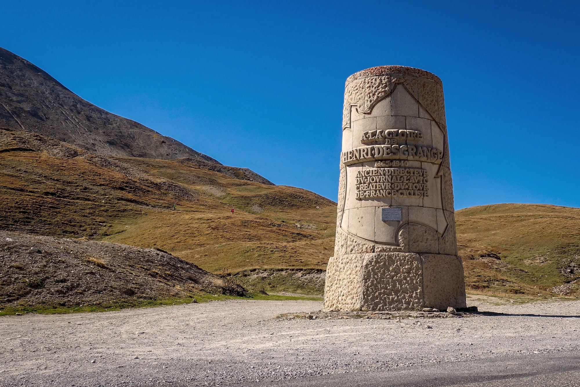
- Henri Desgrange
- Tunnel du Rif Blanc landslide (news article)
- Tunnel du Rif Blanc landslide (video)
- La Meije
Gallery
Click to enlarge / see slideshow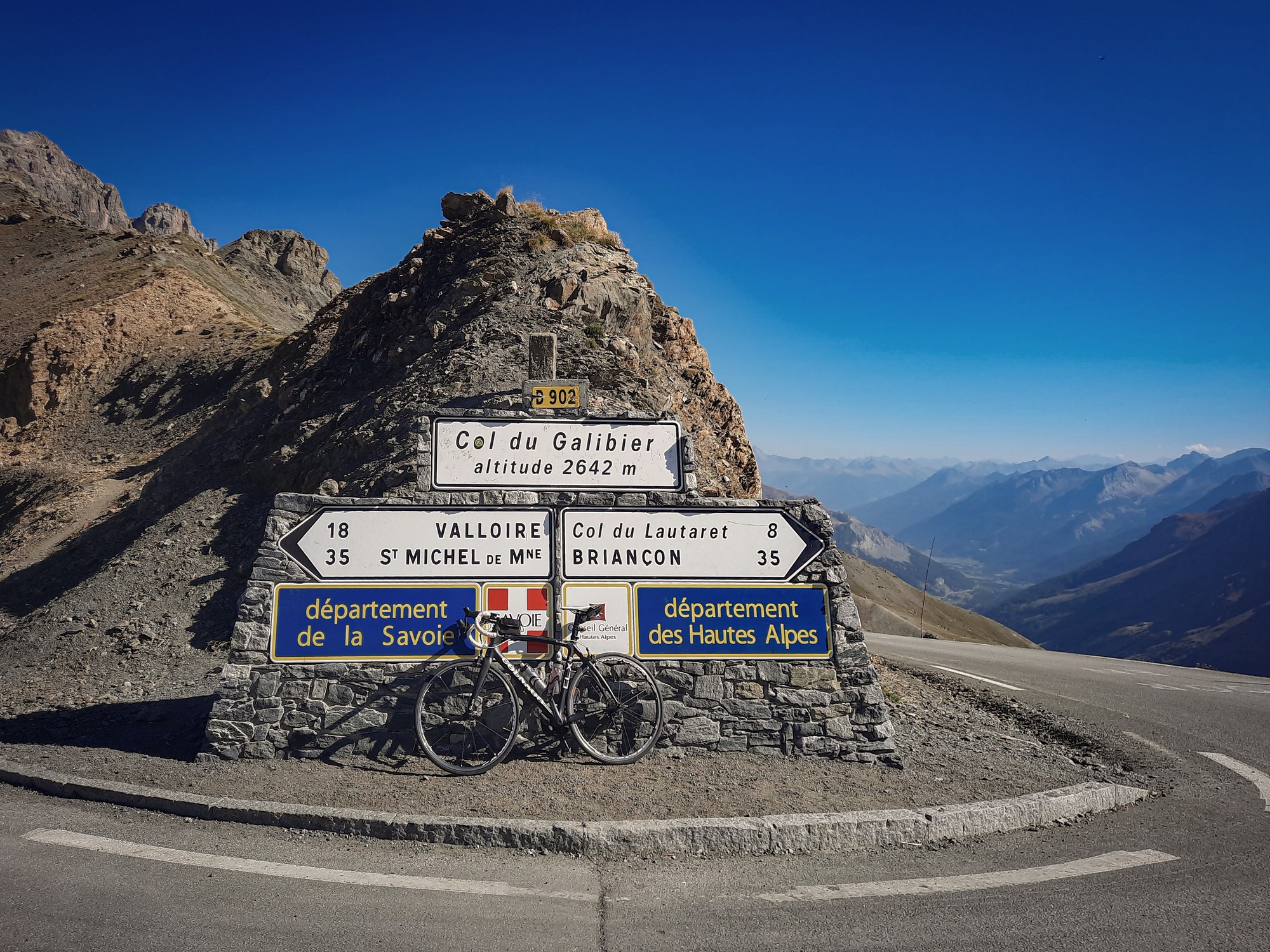


Great photography esp at summit.
The climb up the Lauteret would have been enough for me.
We stayed in Villeneuve at the base of the Frejus lift.
Cheers Al. The scenery above Col du Lautaret was wilder and more beautiful than I’d been expecting.
The Galibier from this side isn’t too bad – you’d be fine!
Ah, right, it looks like Villeneuve was about 7 miles into my journey
I like your photos. I cycled The Galibier in 1957 and have old photos when the only way was through the tunnel. Plus the Iseran The Vars If you want to see them let me know & I will email them. They are black & white
Pl
Thanks for your comment. That’s amazing David. I’d love to see what it was like back then. That was the start of Jacques Anquetil’s era. Yes, I would like to see your photos and can put them on the site if you’re OK with that, for historical reference. I’ll send you my email address
Cheers
Vince