Distance: 68.8 miles. Elevation: 8125 ft.
Col de Charamel | Col des Fillys | Col Saint-Jean | Le Coulet | Col de Maure | Col du Fanget | Col de Saint-Martin | Col des Garcinets
The main aim today was to 'mop up' eight local cols, hence the rather convoluted shape of the route. It was quite a challenging ride with some tough climbs. The highest col of the day was Col du Fanget, at 1,459 metres.
It was never going to be particularly warm, so I wore my winter jersey over a short-sleeved base layer, ¾ bibshorts, snood and cap, and, for the start of the ride at least, my heavier rain jacket, for warmth.
I set off at 9:30, a little later than planned given the long ride ahead. The temperature hovered around 4–5°C for the first 90 minutes or so. There was plenty of cloud ahead of me, although the skies were clearing behind.
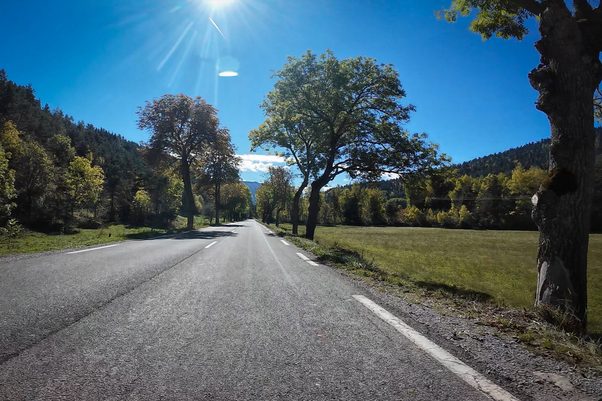
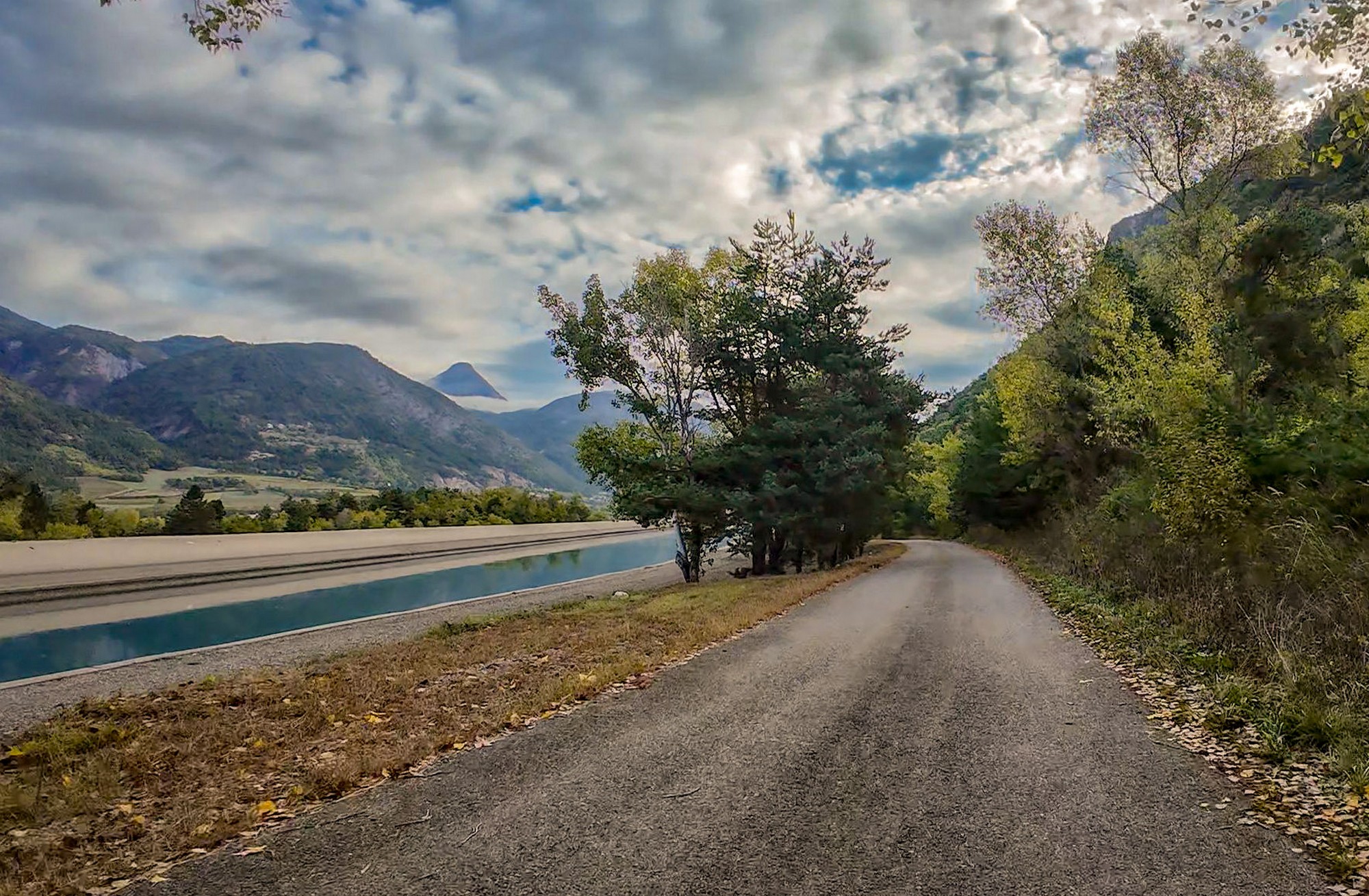
The ride began with a peaceful two-mile descent from Bréziers into the Durance valley, followed by a flat stretch along a 'residents only' (*sauf riverains*) road beside what I can only describe as a 'canal thing', since it doesn't seem to go anywhere. [It's actually the Canal de Curbans, as I discovered later — see below].
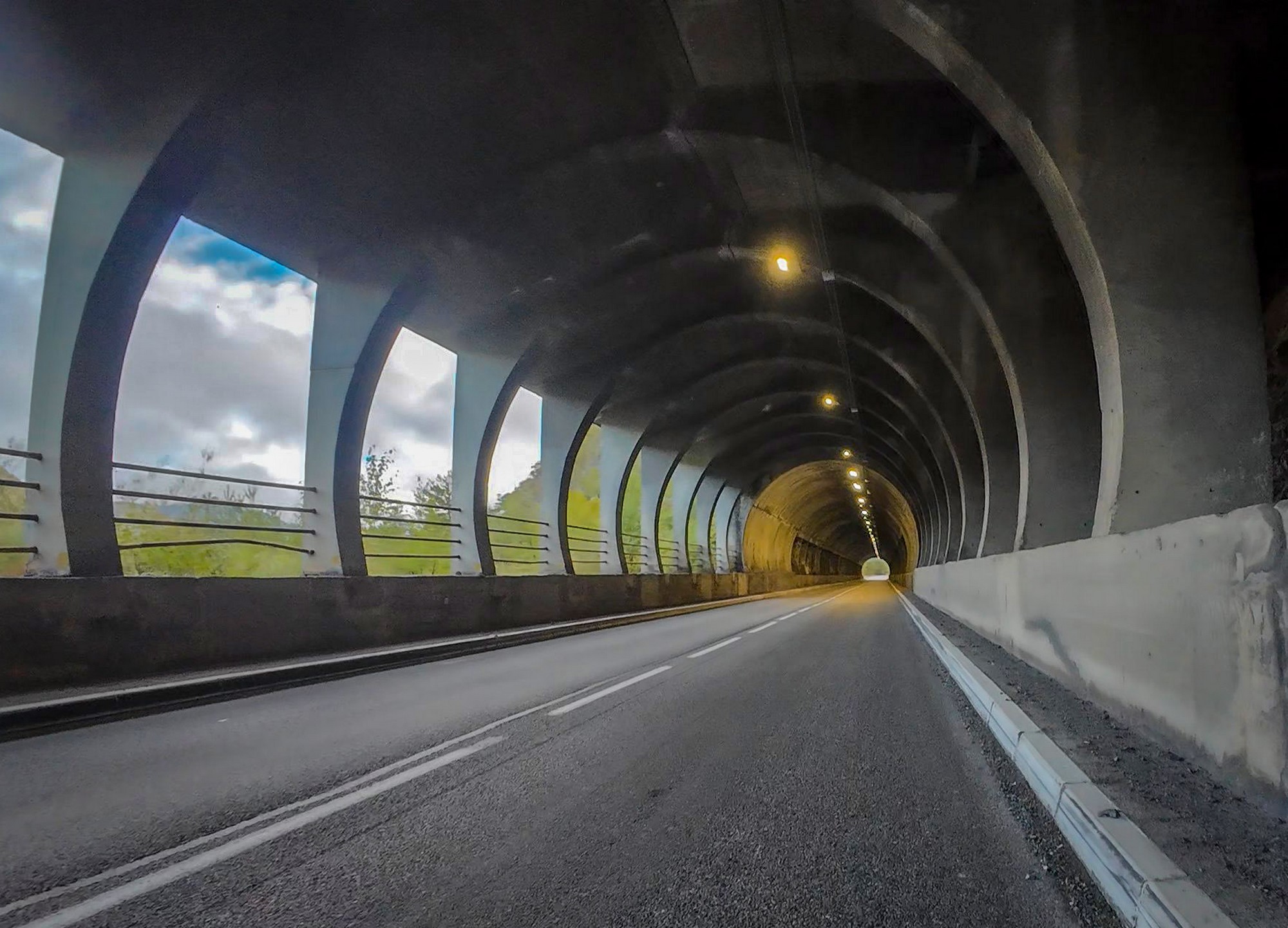
Then I turned onto the D900B towards Barcelonnette. I climbed for four miles on this fairly busy road — not so much in terms of traffic volume, but the speed of the vehicles — passing through a tunnel along the way. I recognised it as the road I'd descended one hot day last year during my ride around Lac de Serre-Ponçon.
After thirty minutes on the main road I was relieved to turn onto the very quiet D7, heading south, away from the Ubaye valley. My hands had warmed up nicely from the climbing so far, and that's my way of telling whether I'm warm enough overall. So I stopped shortly after the junction to remove my rain jacket in preparation for the steeper remaining two miles to my first col of the day, Col de Charamel. I also had half a banana, making a conscious effort to eat before I felt I needed to.
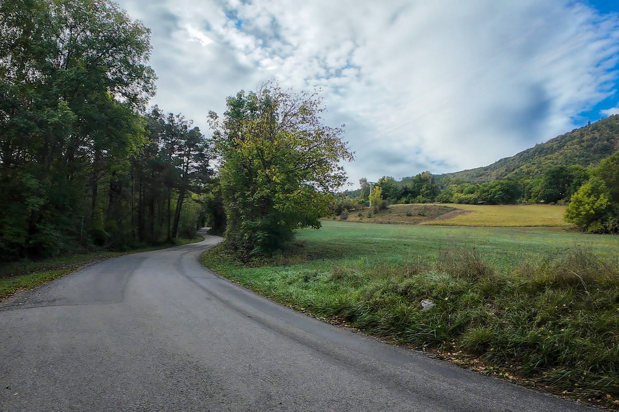
The next couple of miles to the col averaged over 9%, with occasional ramps of up to 12%. The whole road surface was brand new.
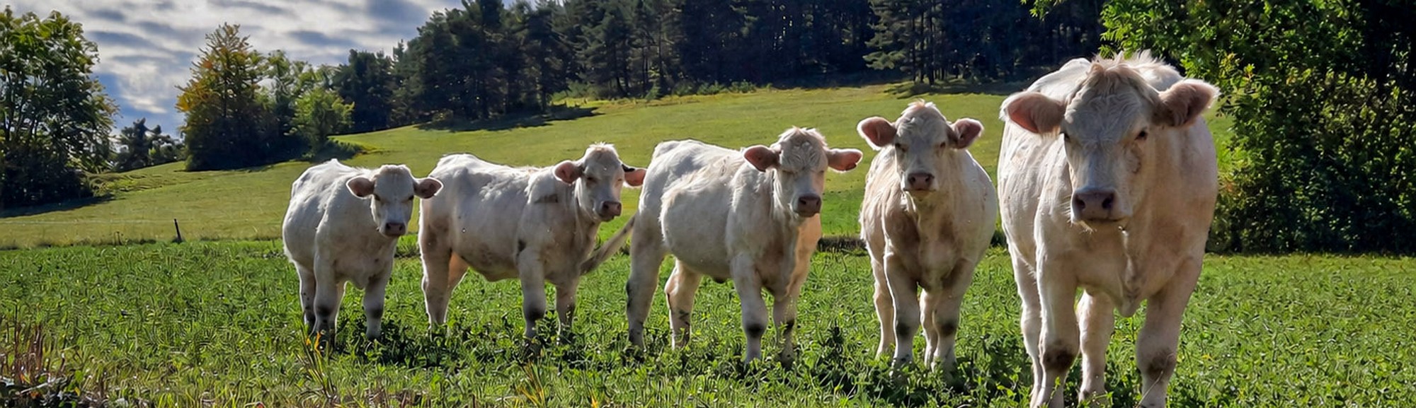
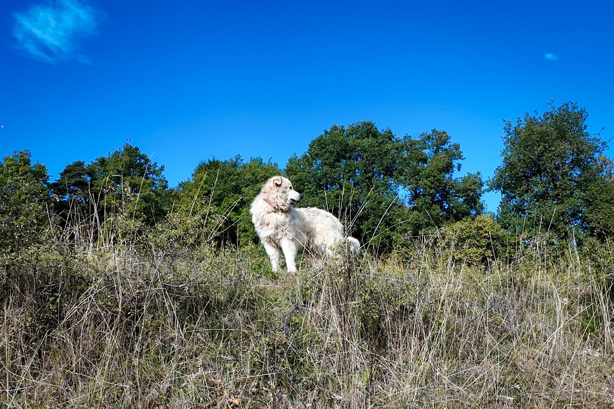
Shortly before reaching the col, I'd stopped to photograph some sheep, but they promptly retreated from the fence, to be replaced by their guardian patou, who came running towards me barking, but not aggressively. Fortunately, he seemed distracted by another dog barking somewhere nearby.
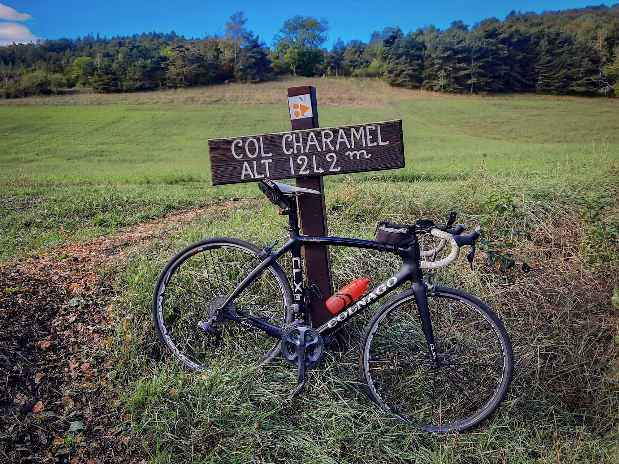
Col de Charamel is only an intermediate col on the way to Col des Fillys. A short but chilly two-minute descent followed before the road began climbing again towards Col des Fillys.
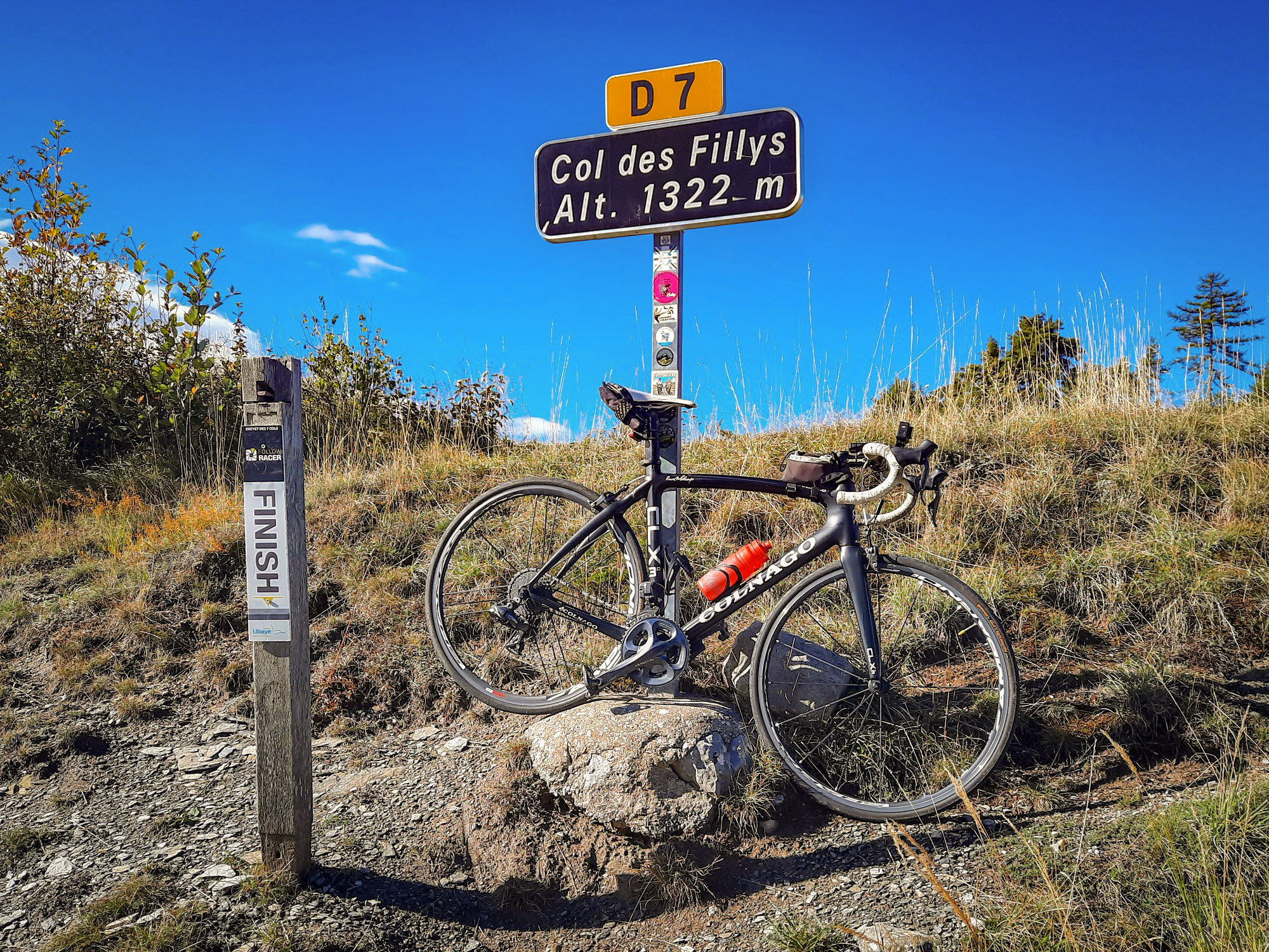
Col des Fillys is part of the Brevet des 7 Cols de l'Ubaye, a free cycling challenge around Barcelonnette and the Ubaye valley [see below].
I had the rest of my banana and realised that I'd only had one sip of my water in almost 2-hours of riding, mostly uphill. That shows how cold it was. I don't tend to drink much when it's chilly.
Beyond Col des Fillys, the landscape opened out below into a sort of bowl. Visible in the distance a soft blanket of cloud covered a valley lower down. But for me, up here, the sky had really cleared, with only a few clouds remaining. It was a beautiful day. I didn't need my rain jacket again for the rest of the ride, so carrying the heavier one had been rather unnecessary — my winter jersey was enough.
The road descended for five miles to and through the village of Selonnet. This was followed by a gentle 4½-mile climb to col number three: Col Saint-Jean.
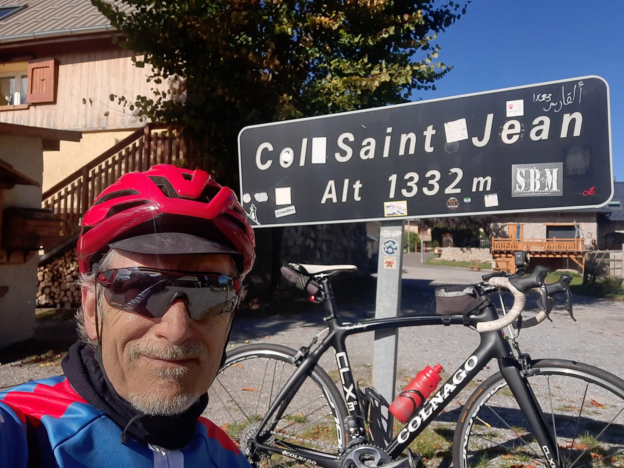
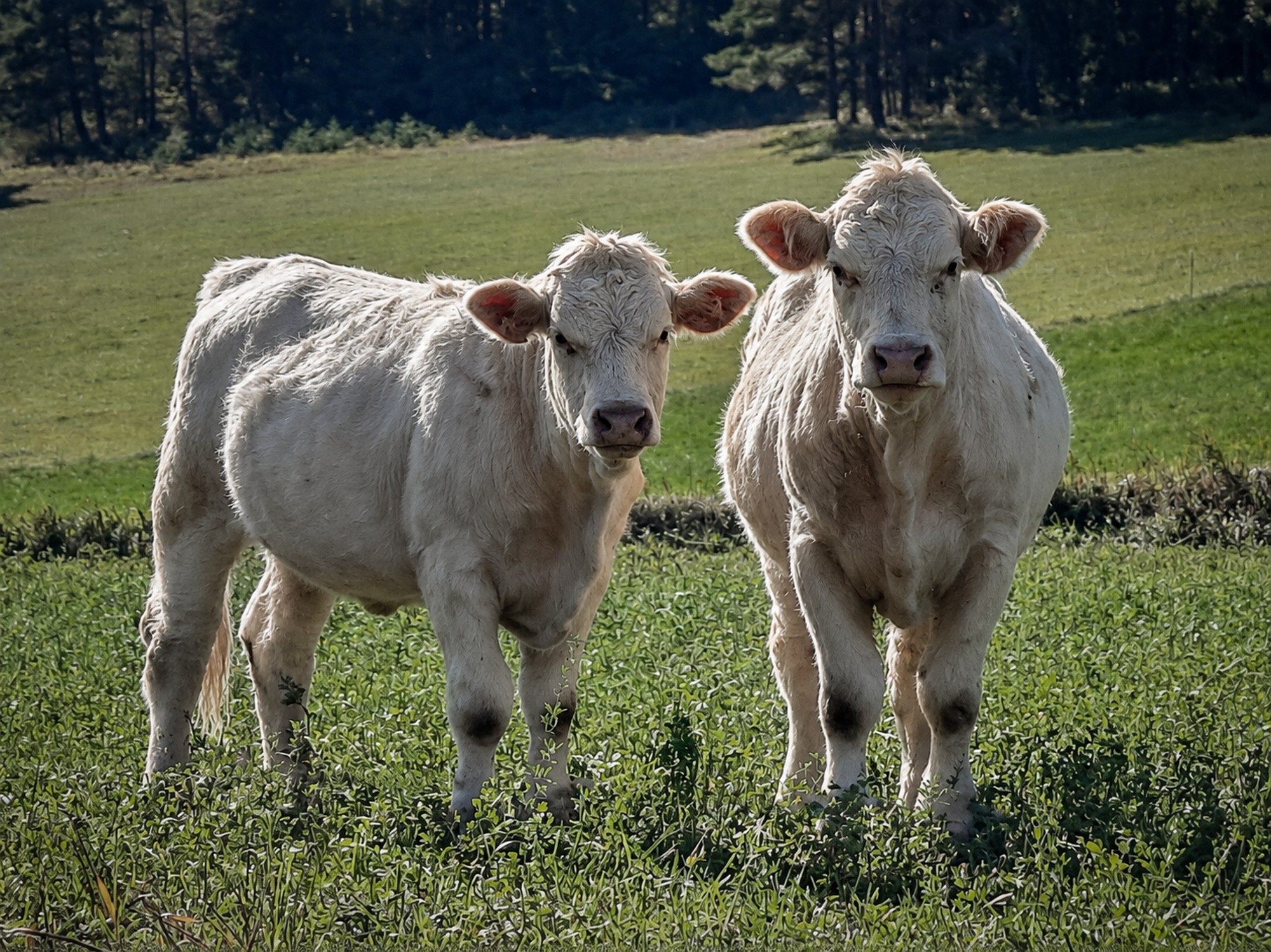
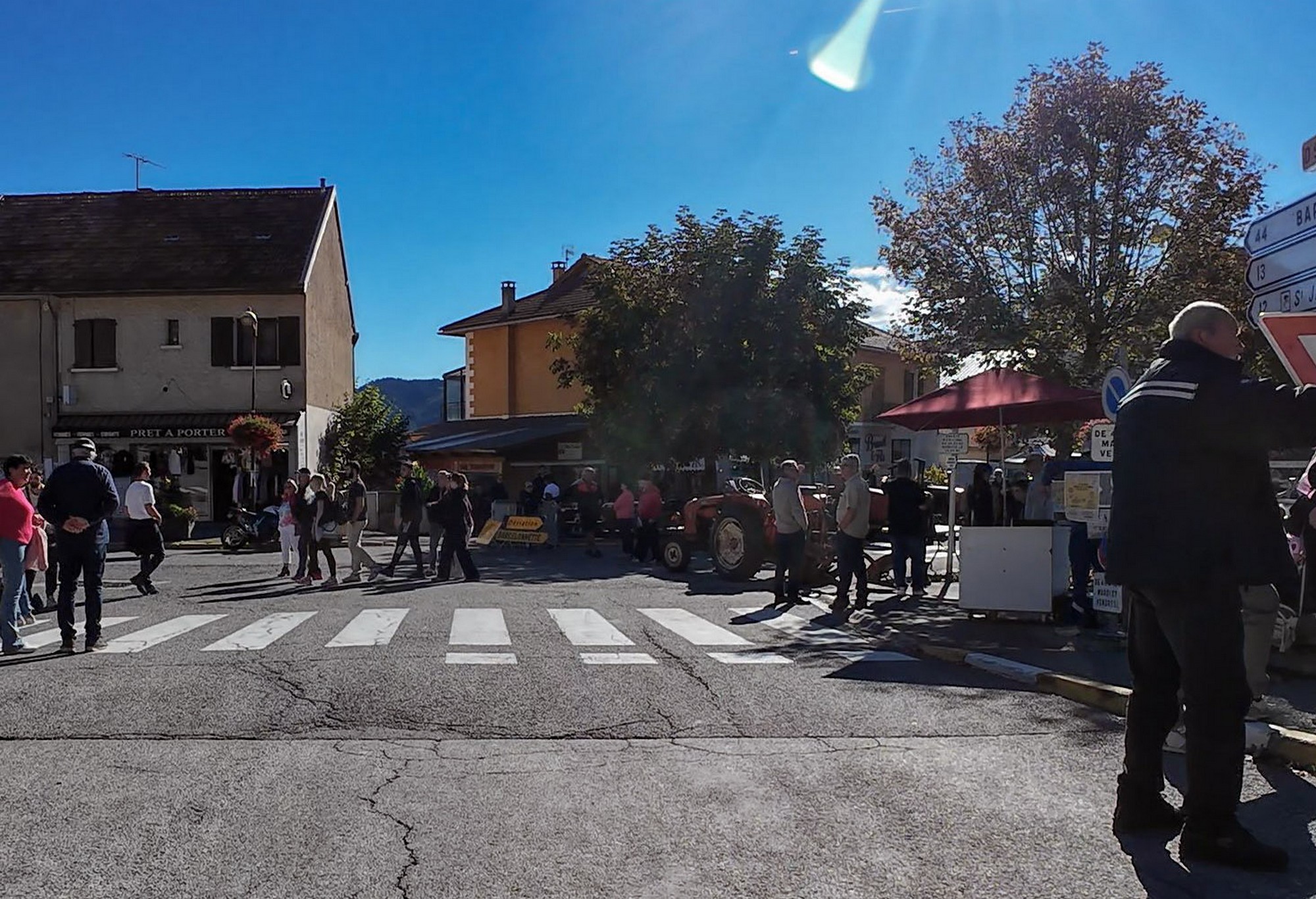
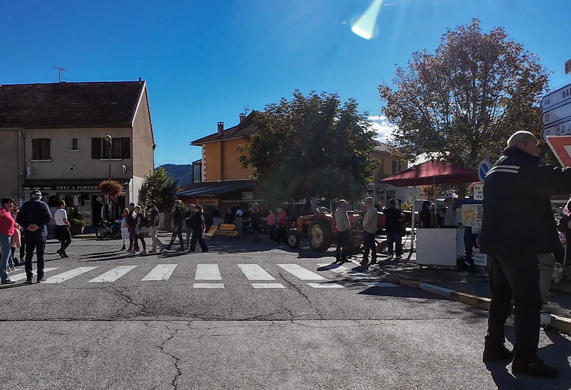
The next 5½ miles, mostly downhill, took me into the town of Seyne — not for the last time today. Some of the streets were closed for the traditional October agricultural fair, which appeared to be quite a big event. Fortunately, the closures didn't interfere with my route through town, this time at least!
A three-mile climb on a quiet, recently resurfaced road took me up to Col de Maure.
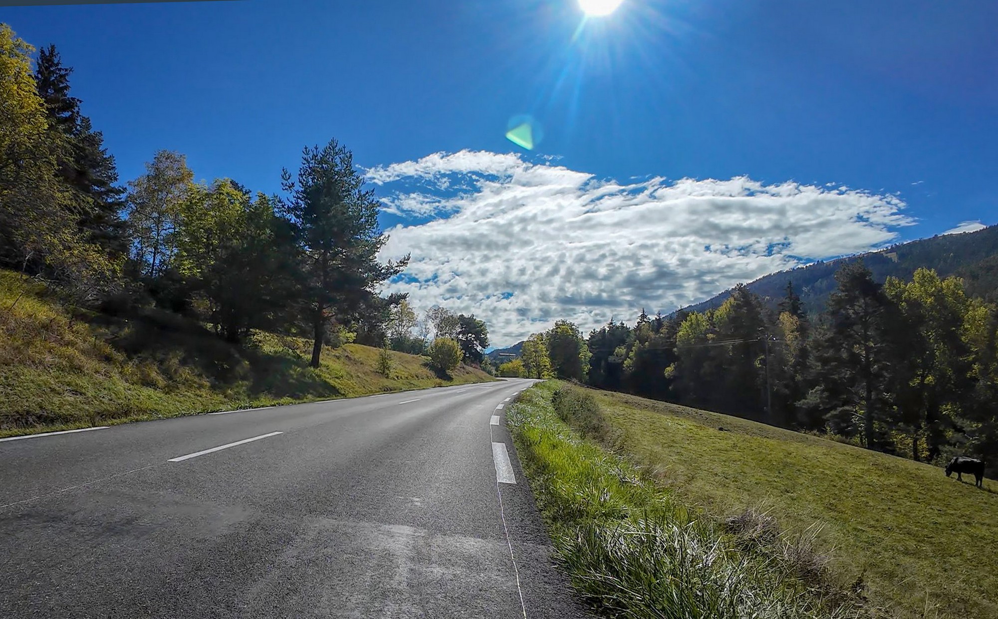
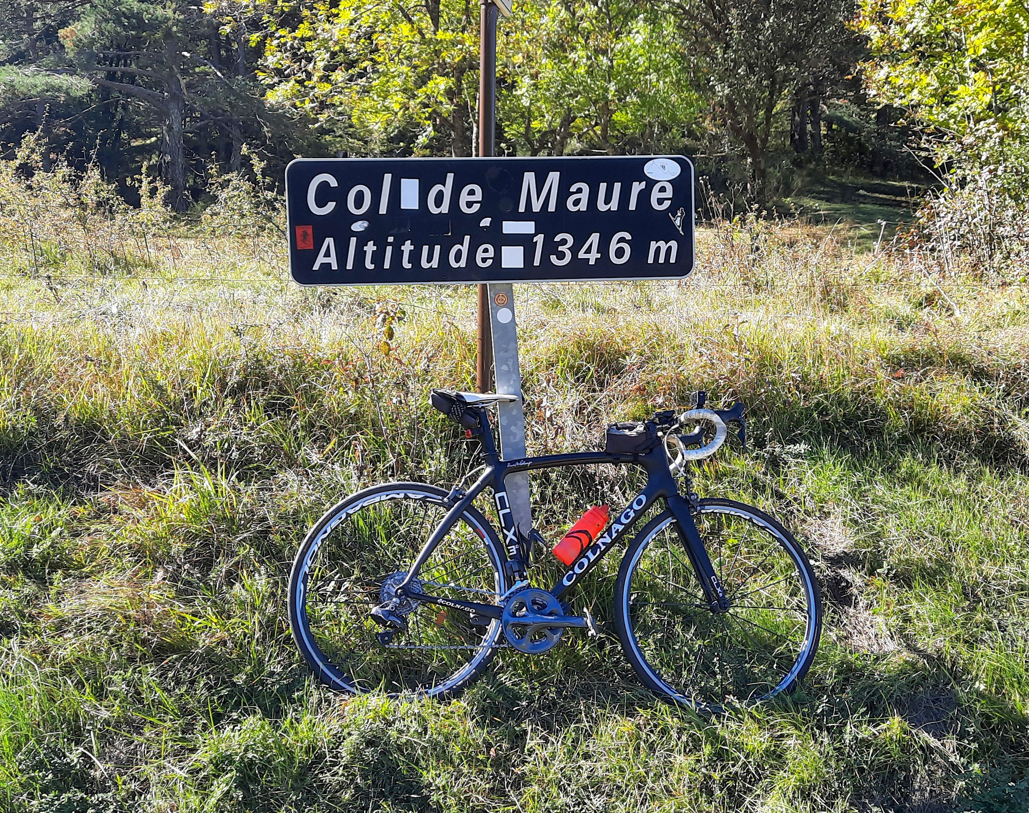
This was where my newly-devised shorter route would have taken me back to Seyne, then up to Col du Fanget and back to Seyne again. Instead, I decided to stick with the longer option, which linked the two cols with a loop to the south via Le Vernet and Verdaches, adding 5½ miles to the ride.
And I'm glad I did. There followed an exhilarating eight-mile descent — although there's always that nagging thought that all that lost elevation will have to be regained — and in this case more besides, since Col du Fanget is over 100 metres higher than Col de Maure.
The road ran between high ridges to the east (on my left) and a massive wall to the west. I wondered how the hell it was going to find a way through. I reckoned Allos must be somewhere over those mountains to my left [and indeed it was, although with several more ridges in between]. In fact I was skirting the western edge of the Mercantour. The scenery and the nature of the road itself had changed. It was less hilly - more mountainy! Those peaks to my left were clearly above the tree line, with summits beyond them rising to over 3,000 metres. I felt a sense of familiarity, having explored many of the roads over that way.
My route continued to follow the River Bès, eventually squeezing through a narrow gap in the rock — a *clue* — near where the River La Grave joins it from the north. It was an amazing piece of road, reminding me of the Gorges du Bachelard on the climb to Col de la Cayolle, not all that far away.
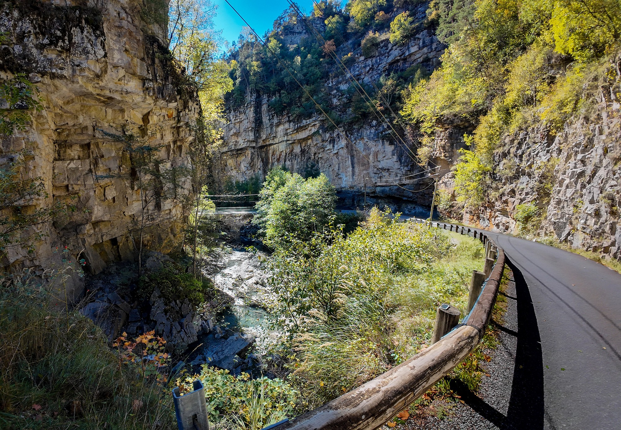
It's a lovely climb to Col du Fanget. The gradients were gentle at first (4%, 2%, 6%, 3%, etc.), although I had a strong headwind to contend with. I stopped midway to have some sandwich, a banana and a painkiller as my back and neck were aching.
And it was probably just as well that I'd had a break, because the remaining two miles averaged over 8%. But even that doesn't tell the whole story: the final mile alone averaged over 10%, with frequent short ramps of 13% or more.
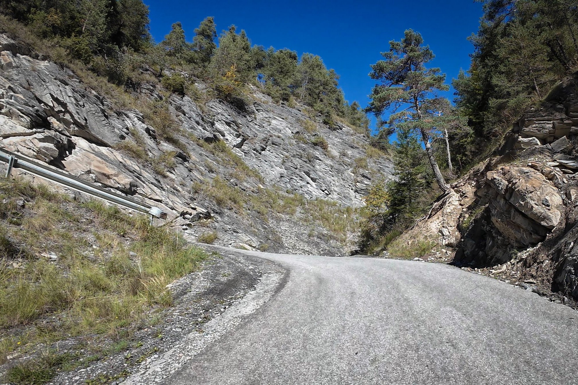
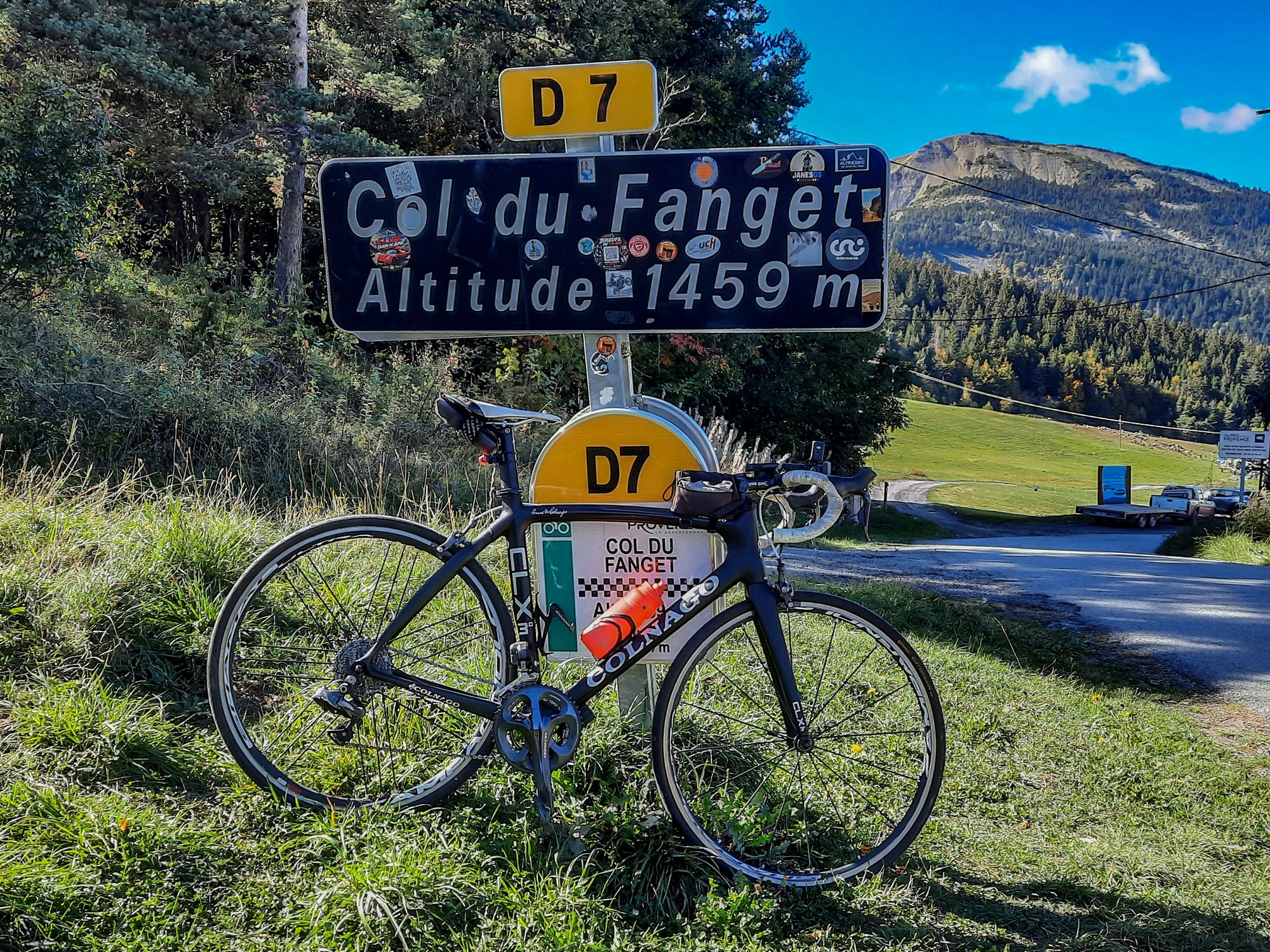
I can't remember a single vehicle passing me during the whole climb. Another roadie came up from the other side while I was there, and descended back the same way.
I'm always conscious of the lack of daylight hours at this time of year, particularly on long rides like this. I took a guess at the time of day and thought it might be coming up to 4pm. Imagine my delight when I checked and found it was only 2:30! That relieved some of the worry.
So I had reached the highest point of the ride after the toughest climb so far. There was worse to come though....
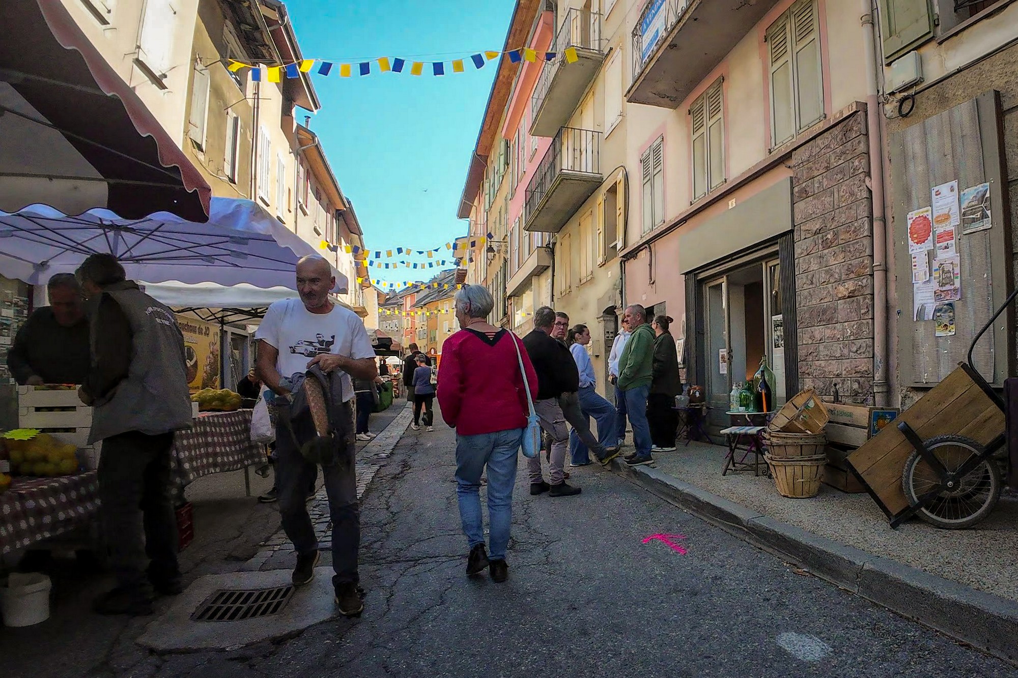
The four-mile descent from Col du Fanget ended with a short sharp ramp of 13% back into Seyne, where the agricultural fair was still going strong. This time I did have to walk through some crowded streets, to find the short but steep 15%+ climb to above the town where I claimed Le Coulet.
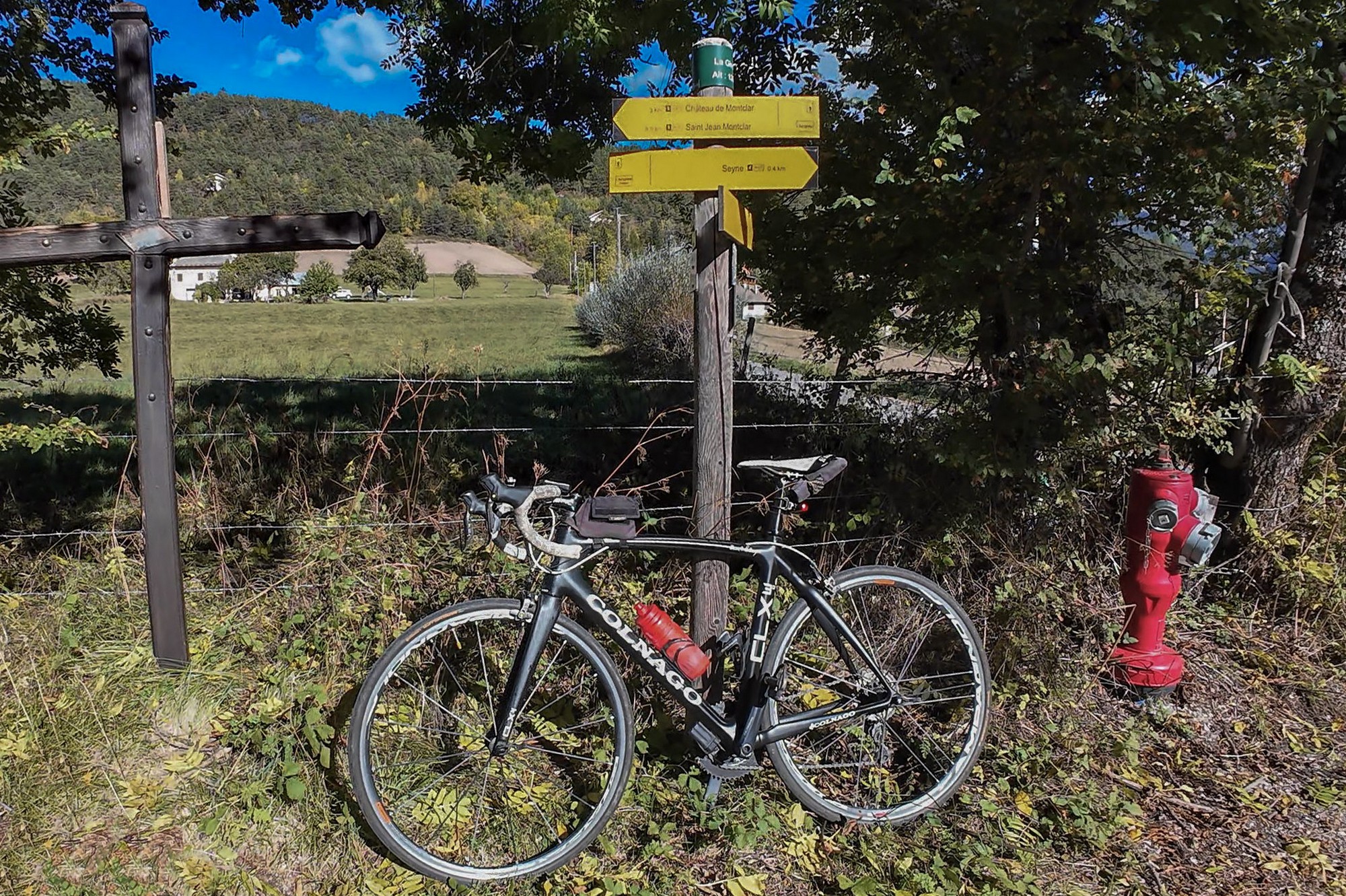
Then it was back through the throng again and out of Seyne for the last time.
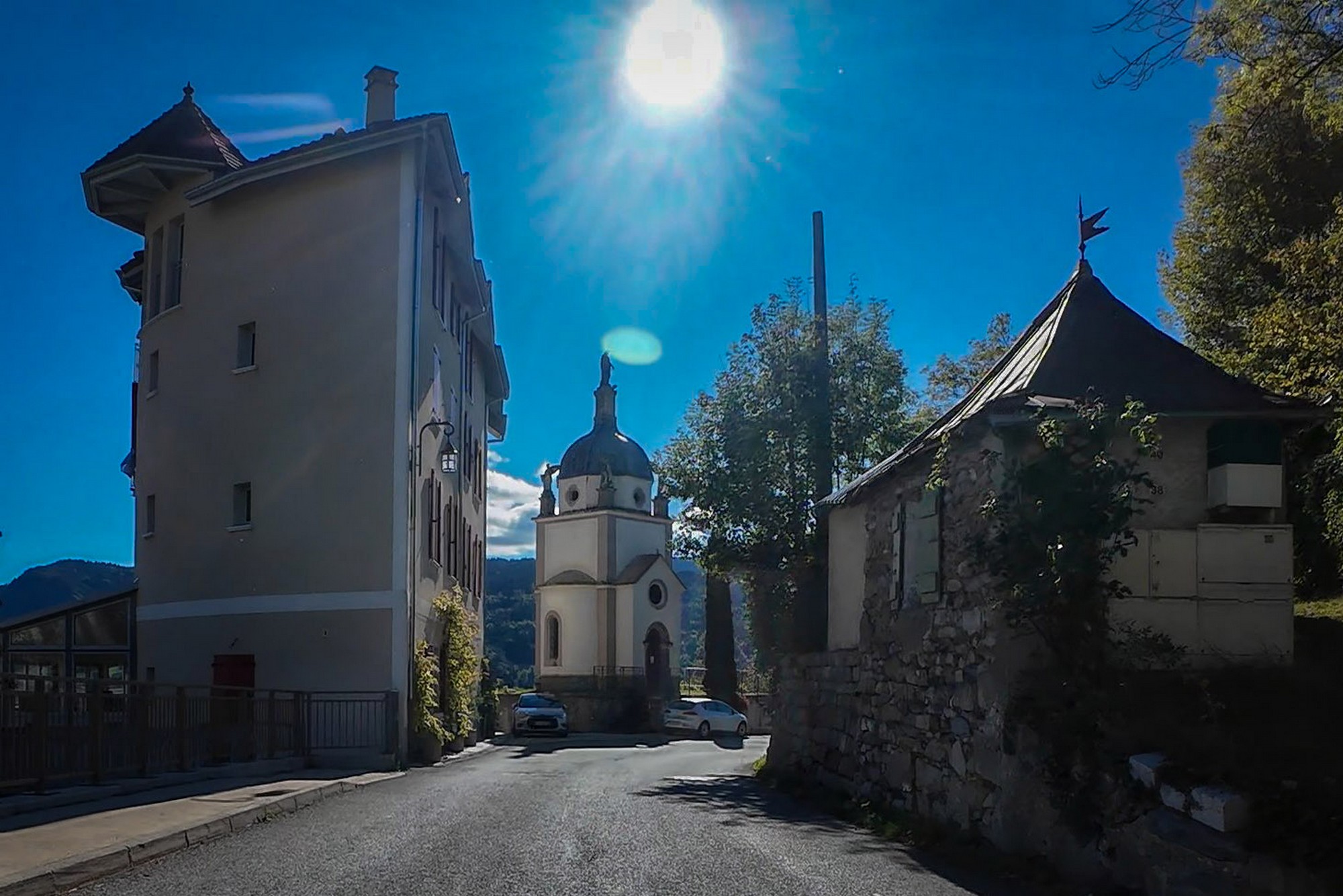
The next five miles were mainly downhill, back through the other town I'd already visited, Selonnet, to the foot of the 'off-piste' climb to Col de Saint-Martin. This one was to be a bit of a magical mystery tour because the 'actual' col (as decided by Club des Cent Cols) is in the middle of nowhere, not even near the col sign! So I didn't really know what I was in for except that someone had said that bits of the climb were very steep.
I paused at the turn-off and looked at the route on my phone - I saw that it was a 3-mile climb — longer than I'd expected. It averages 8.4% but that includes a flat bit and even some descent! In fact the last mile averages 12% with some sections in the high teens%. I checked the time of day and was once again surprised when I saw that it was coming up to 4pm, an hour earlier than it felt.
So I began to pedal. The first ramp climbs for over a mile to the village of Les Rougiers, after which the road levels out and even descends a bit before reaching another hamlet, the similarly named Les Rougons. After that, the fun begins. Gone are the meadows and farmsteads. The road now enters a rocky landscape as it clings to the shale-sided hill. Trees are few and far between.
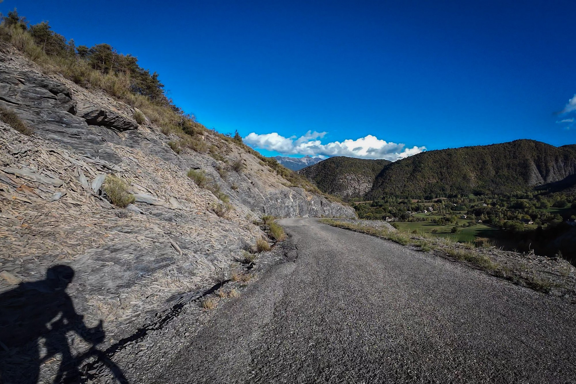
There was absolutely nobody else around, which is useful when you want to swerve all over the road to ease the steepness. Around every bend it looks like the gradient is easing, but it's some sort of optical illusion because your legs tell you the truth that your eyes won't. And so I slogged on, taking sixteen minutes to cover the tortuous mile, although it felt longer.
When I reached the top, I was pleased to have done it without stopping. The road was still climbing when the col sign came into view so I kept going until it levelled out a bit further on.
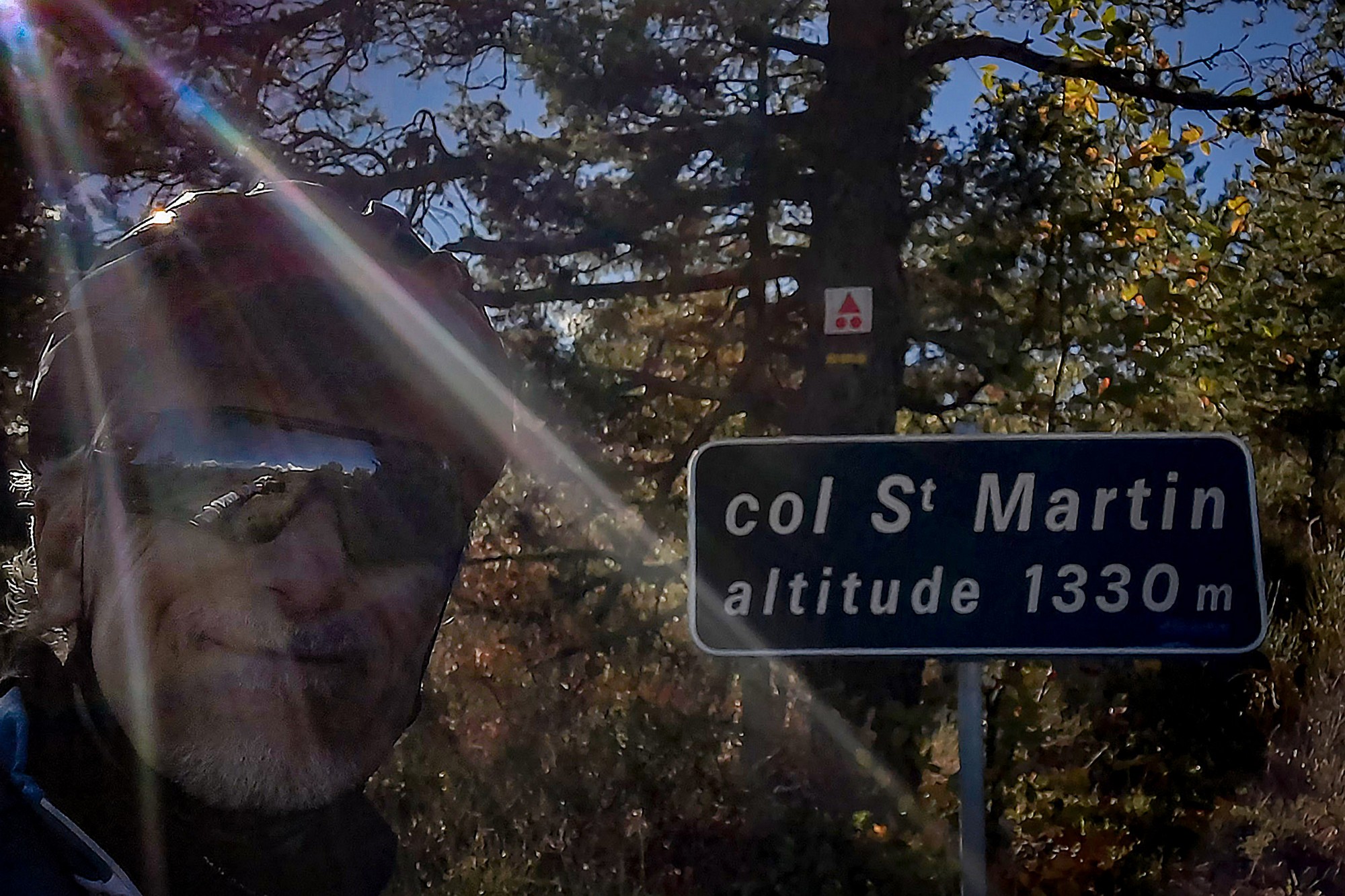
So now I needed to find the spot where the 'actual' col was. I didn't have it on my Wahoo route, but I knew roughly where it was from having studied maps and satellite images and comments on the club forum.
I followed the rocky track, initially riding, but then walking.
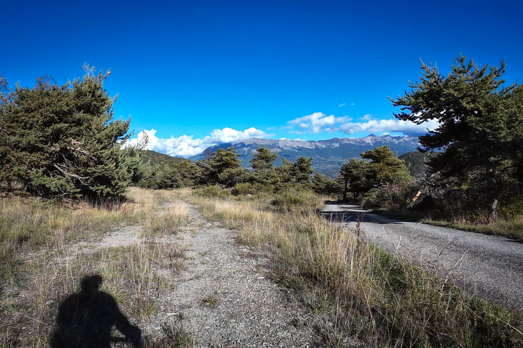
It dipped down and round to the left, among stunted trees. The surface got worse, and steep in parts. I repeatedly considered turning back, thinking "oh, that's far enough" but I went further until the path curved to the right, because I remembered the shape of the path from the maps. I still doubted I had gone far enough but then I came to wet mud right across the track. I thought "that's far enough". And so I turned and walked my bike back to the road.
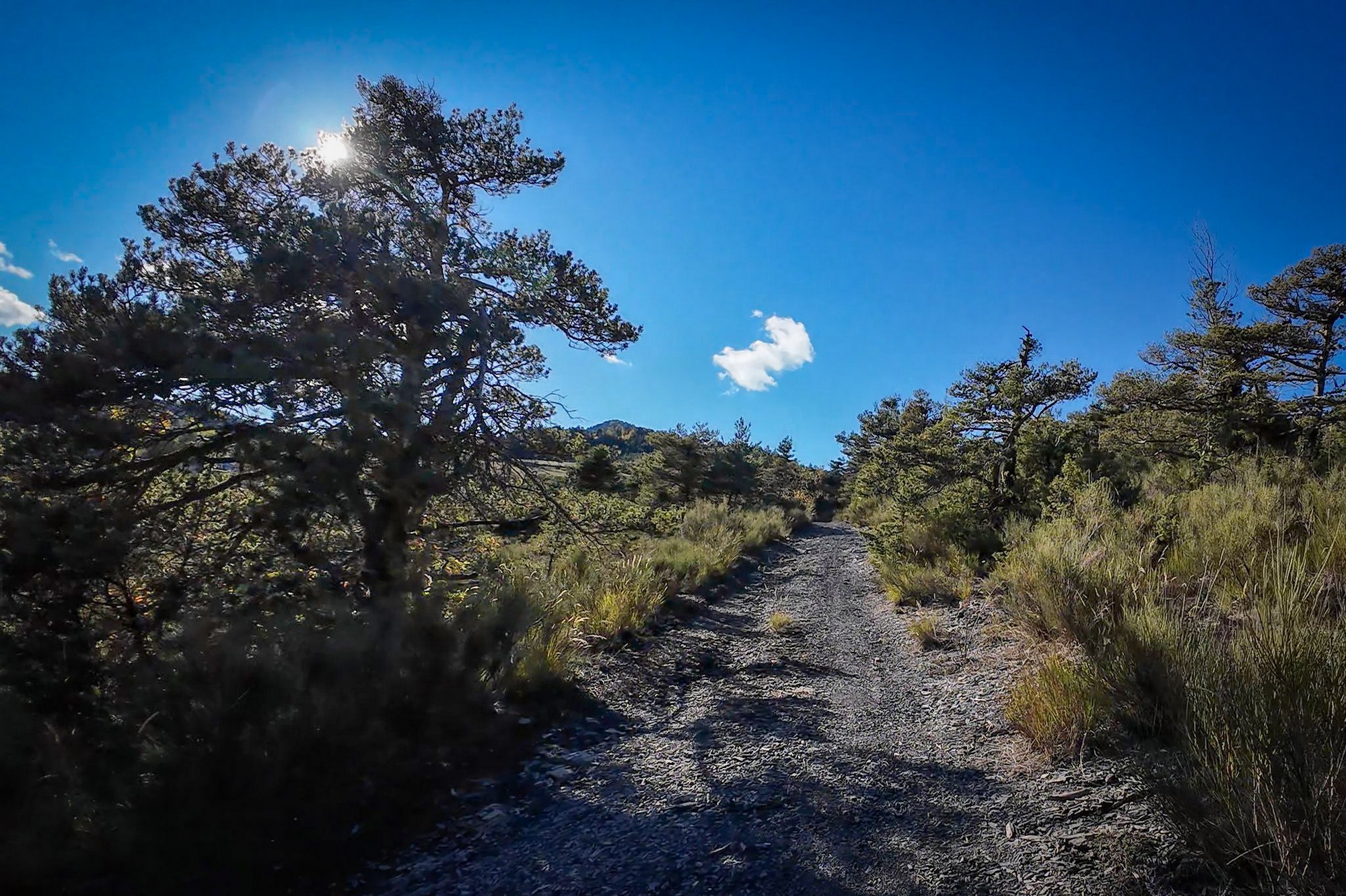
I was doubtful I had gone far enough but when I checked the Wahoo recording after the ride, I discovered I had in fact reached the exact (official) location of Col de Saint-Martin, in the middle of nowhere! It was probably the most obscure col I've ever claimed.
After getting a photo back at the roadside col sign, I descended back the way I'd come, with both hands on the brakes the whole time until I reached the hamlet of Les Rougons. It's an excellent road and reminded me of other roads that seem merely to serve tiny hamlets up in the hills (such as Col de Besseuges, Villeplane, Les Moulins, etc), although none I can think of are as steep as today's.
Once back down at the turn off, I checked route details on my phone again. I saw that there was just one significant climb remaining — four miles to Col des Garcinets. Thankfully the gradient looked OK — just what you need for your last climb of the day. So I set off on the final leg. It was late in the afternoon with the sun getting low. The far side of the valley was bathed in sunshine, but I was riding mainly in shadow.
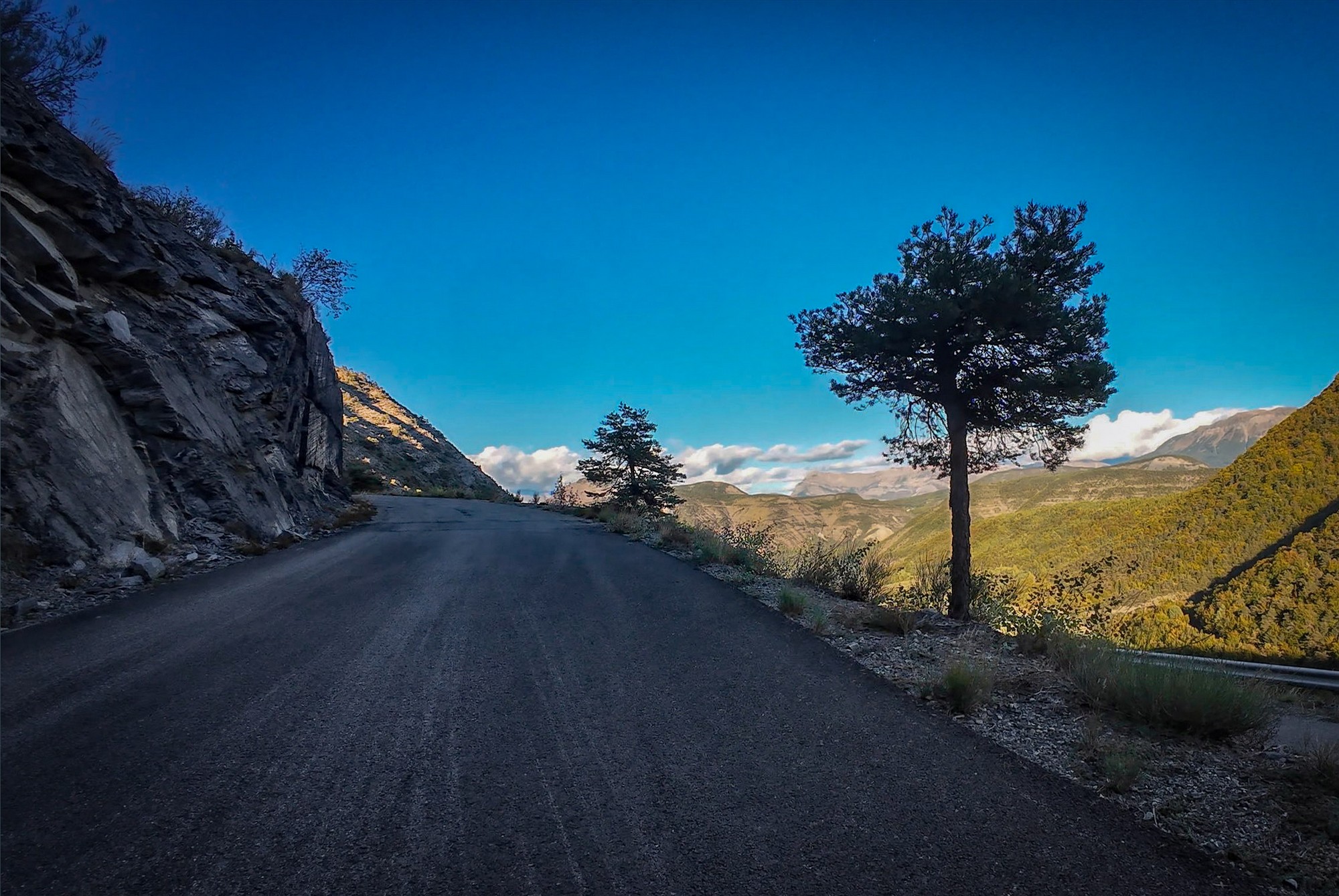
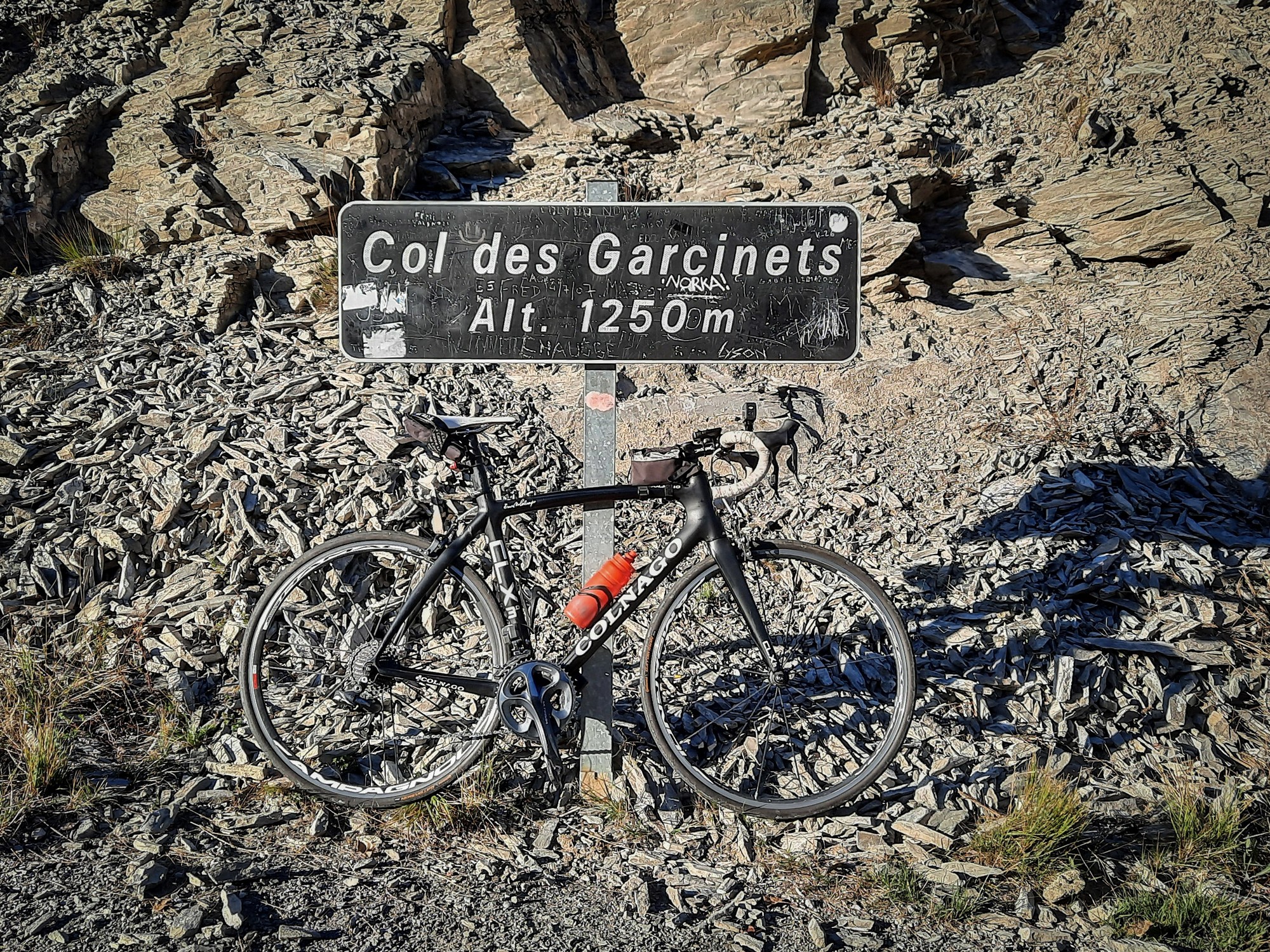
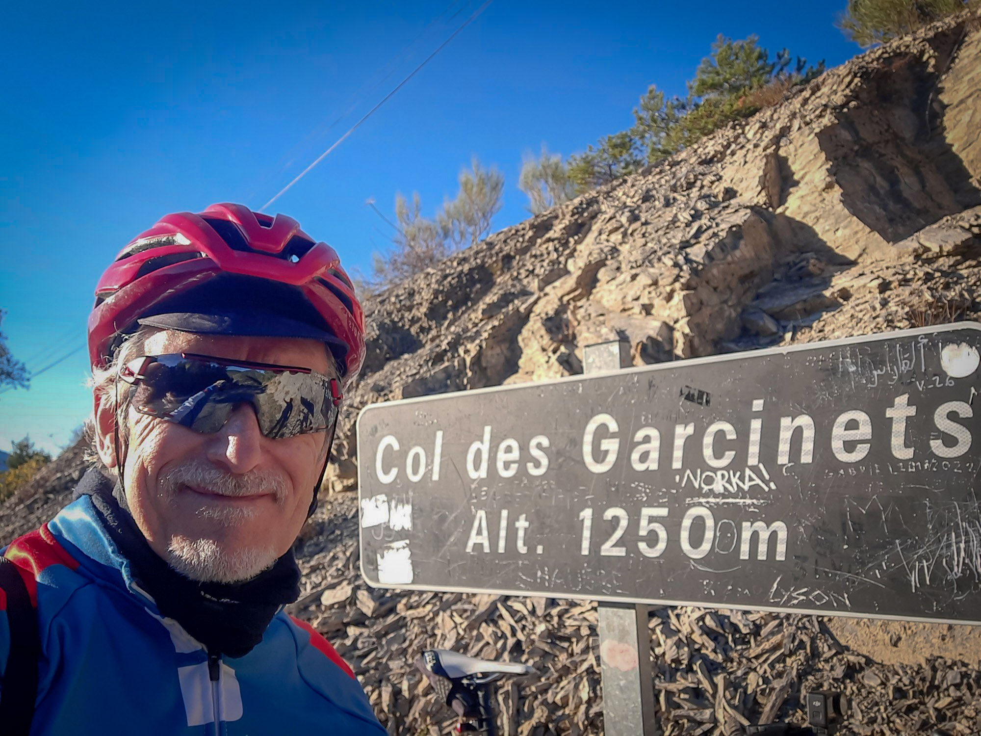
After reaching Col des Garcinets I got a photo and stood there for a while just taking in the ambience - there was no wind or sound. Only one motorbike and two cyclists had passed me during the previous thirty-minute climb. It was really peaceful.
I saw from my Wahoo that I had five miles left to get back to base, nearly all of it downhill, other than a remaining 60ft of ascent, which turned out to be the short climb into the village of Bréziers, at the end of the ride.
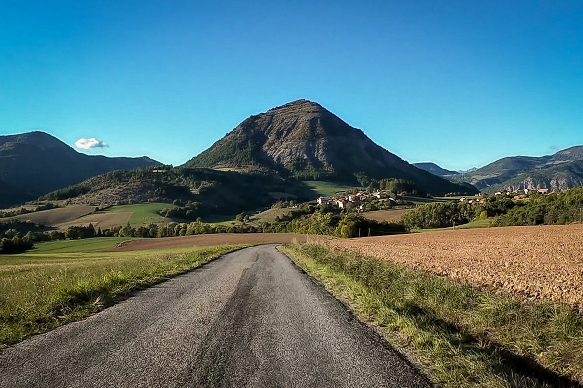
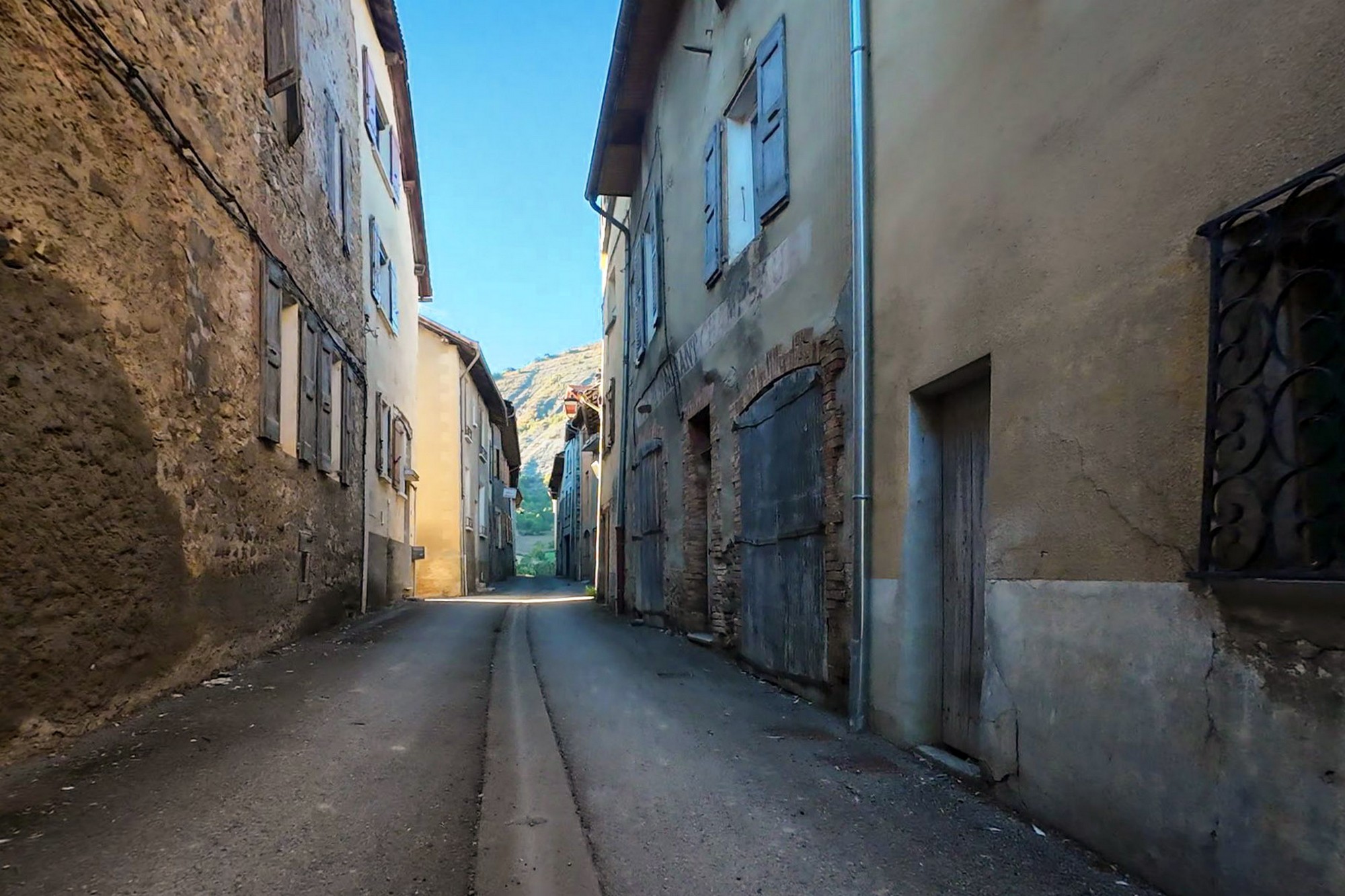
I got back around 17:45, the end of another lovely ride, and with eight more cols to my name. Although the temperatures had been on the low side, the blue skies and sun (and climbing) had ensured I was comfortable the whole ride. I had survived on a cheese sandwich, 2 bananas, a slice of fruit cake and one bidon of water.
The Good
- I'm glad I did the full loop - that extra bit of road was amazing.
- I climbed Col de Saint-Martin without stopping
- Without realising it, today I completed the 'old' Brevet des 7 Cols by adding Col Saint-Jean to those I'd already climbed (Bonette, Vars, Larche, Cayolle, Allos, Pontis). But Larche has been replaced because the road is now prohibited to cyclists. So for the current Brevet des 7 Cols, I still need Sainte-Anne, but that one isn't even a col. Surely they could have found a better replacement for Larche - maybe Fanget ? See below for details.
The Not So Good
- I took my heavier rain jacket for nothing
- I should have drunk more, although felt completely OK
- I discovered later there's another col (Col du Labouret) just an easyish 2km to the south of today's route that I'd missed when planning the ride - damn!
- My camera battery died. After taking just two photographs today the battery in my 'real' camera ran out of juice. I was annoyed at myself for not having checked it prior to the ride. So most of today's photos are from my phone or my action cam, neither of which is as good as the Sony.
- My left shoe cleat, already very worn, was 'finished off' by the walk to find Col de Saint-Martin. I was unable to clip in to my pedal after that. Luckily the rest of the ride was straightforward.
Canal de Curbans
That 'canal thing' I saw at the beginning of the ride is the Canal de Curbans, part of an enormous hydroelectric scheme operated by EDF.
The canal appears to stop abruptly at Rochebrune, but the water continues underground.
The system works as follows:
Espinasses: Water leaves the reservoir immediately below the Serre-Ponçon dam and enters the artificial canal.
Espinasses to Rochebrune: It travels approximately 5 km along the open canal I saw.
Rochebrune: The water enters a tunnel approximately 9 km long.
Curbans: It reaches an underground hydroelectric power station, where it drops approximately 83 metres through turbines to generate electricity.
After Curbans: The water travels through another underground passage and eventually emerges into the Lac de Curbans–La Saulce.
The entire arrangement was constructed between 1963 and 1965, with the power station commissioned in 1966.
The open canal is approximately 43–50 metres wide at the surface and can carry around 220 cubic metres (220,000 litres) per second. The Curbans power station uses this flow to generate electricity. Its average annual production is approximately 465 GWh.
And it doesn't end at Curbans. This is part of a much larger system extending approximately 250 km from Serre-Ponçon towards the Étang de Berre, near Marseille.
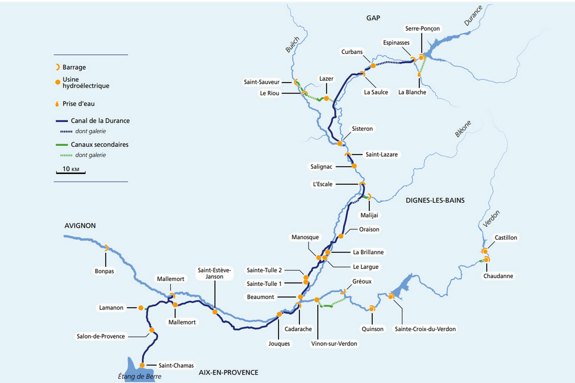
It serves three purposes:
- Hydroelectric generation
- Agricultural irrigation
- Supplying water to towns and cities
Water is repeatedly diverted through canals, tunnels and power stations as it descends towards the Mediterranean.
One particularly interesting consequence: Much of the Durance's water is diverted away from its natural riverbed. The river running alongside the canal can therefore carry considerably less water than it would naturally.
Gallery
Click to enlarge / see slideshow