Distance: 26.5 miles. Elevation: 5058 ft.
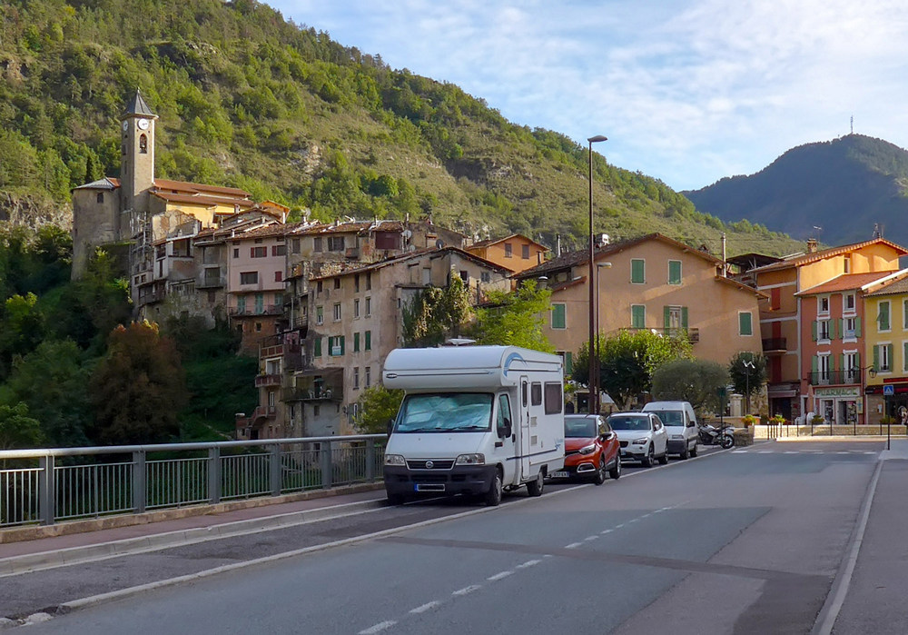
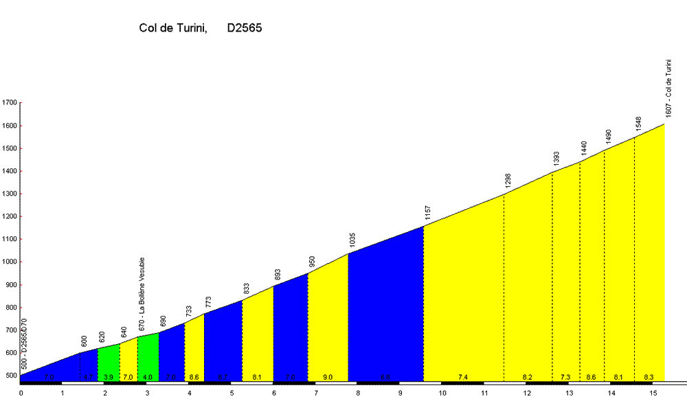
Hot on the heels of yesterday’s excursion comes another straight-up-and-straight-down ride. Five miles north of yesterday’s start, I parked in Lantosque, a village midway up the Vésubie valley, a mile from the start of the climb. Destination: Col de Turini, perennial centrepiece of the Monte Carlo Rally. It has also featured in the Tour de France, and this year hosted the finish of the seventh stage of the Paris-Nice 2019.
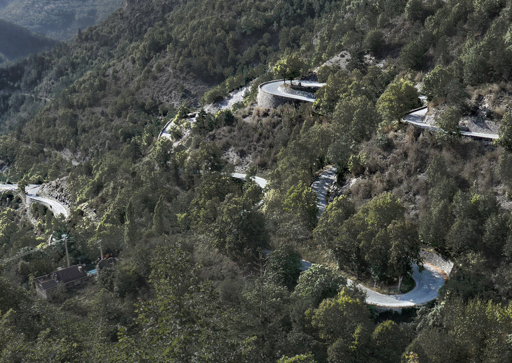
I will admit that I hadn’t even heard of this col until yesterday. I had just plotted a route near me based on a squiggly road on the map – always a good ploy! Those hairpins turned out to be the road to the col de Turini!
As usual I did reports at various points of the ride:
14:39
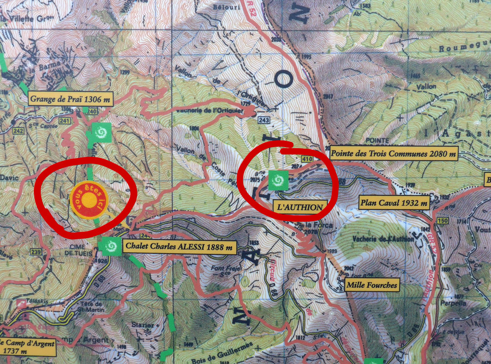
I’m doing this report from Chalet Charles Alessi, at 1888 mètres.
I did the climb to the Col de Turini without stopping.
It was quite tough but never unbearable. Every now and then I would get out of the saddle and change up a couple of gears just just to stop my bum going numb. On my way up, I noticed an abandoned tunnel or something, so will investigate that on the way down. Right from the start, I had it in my mind that the col was 10 miles into the ride, so I was constantly looking at my Garmin and counting the miles remaining. Somewhere around mile 8, I suddenly had the thought “what if I’ve made a mistake? Maybe the actual climb is ten miles not including the mile I rode to the start?” As the scenery was going by, mainly forest, there was no way to judge how far was left. As mile ten approached and passed, I realised that I had got it wrong, so then I knew I had another mile to go. I remember thinking that’s only another 12 minutes or so. Hardly any traffic passed me on the way up.
At the col, I had a brief conversation with a French guy who was interested in my bike. He was asking about gears and stuff – I got the impression he was either a cyclist or an ex-cyclist.
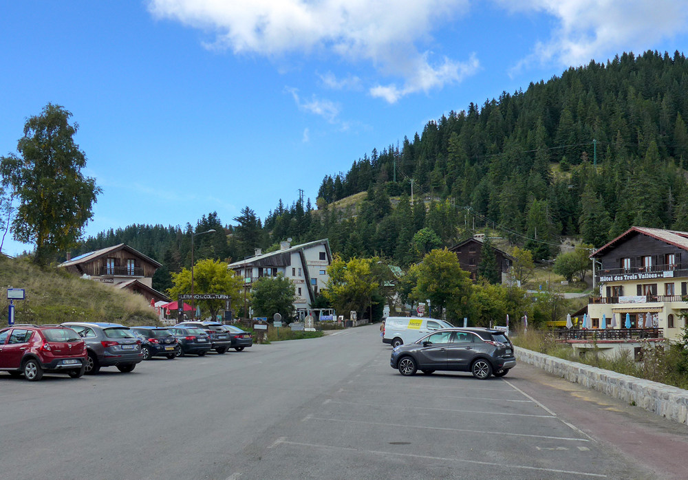
There were several hotels, restaurants, etc, but sadly nothing of a view, which was a disappointment after all that effort. As I looked around I noticed there was a road still going upwards, the sign saying 2 km to the ski station. I thought “why not?”.
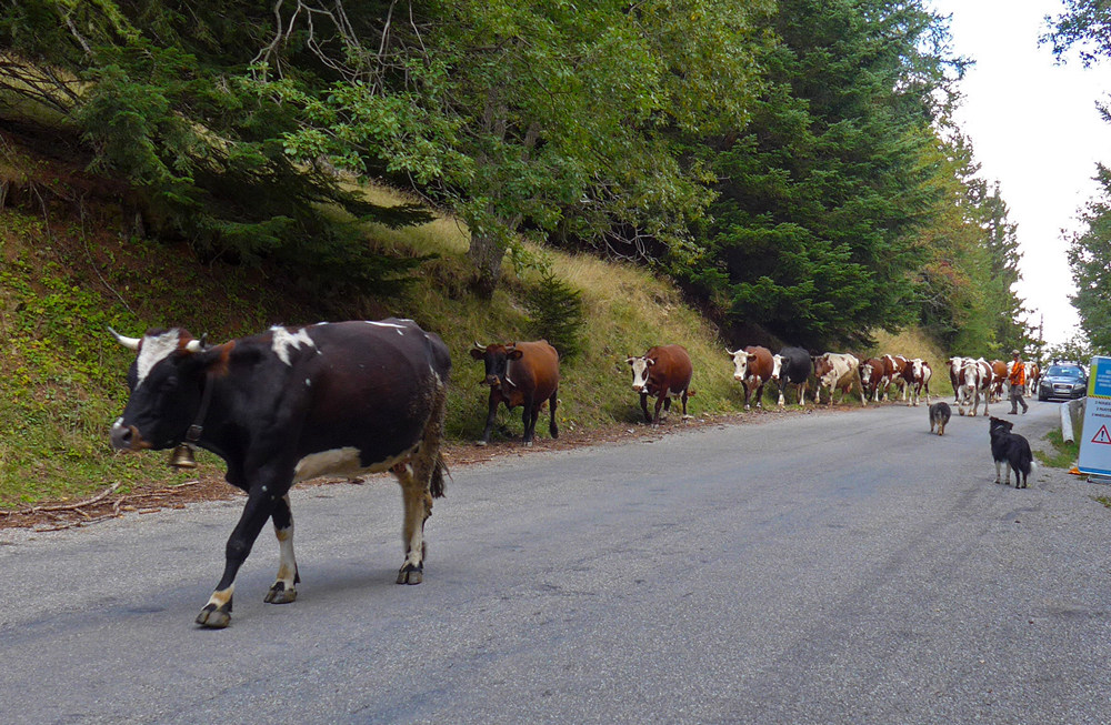
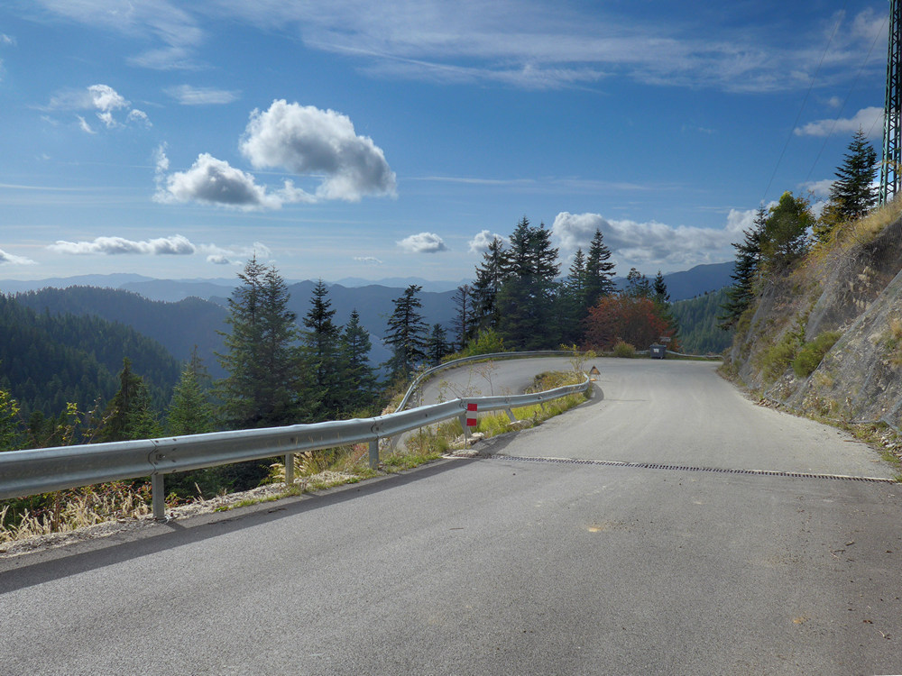
So I climbed, quite steeply at first, towards the ski station. When I got to the ski station, ‘Camp d’Argent’, the road kept going up, so I promised myself I would keep riding for as long as the road kept going up and was tarmacked. And it kept going up and up. At one point I had to give way to a herd of cattle coming down the road, cowbells jangling. I didn’t know how they would react to a bike (how would I?), but they looked well-behaved so I carefully rode past them after waiting a while.
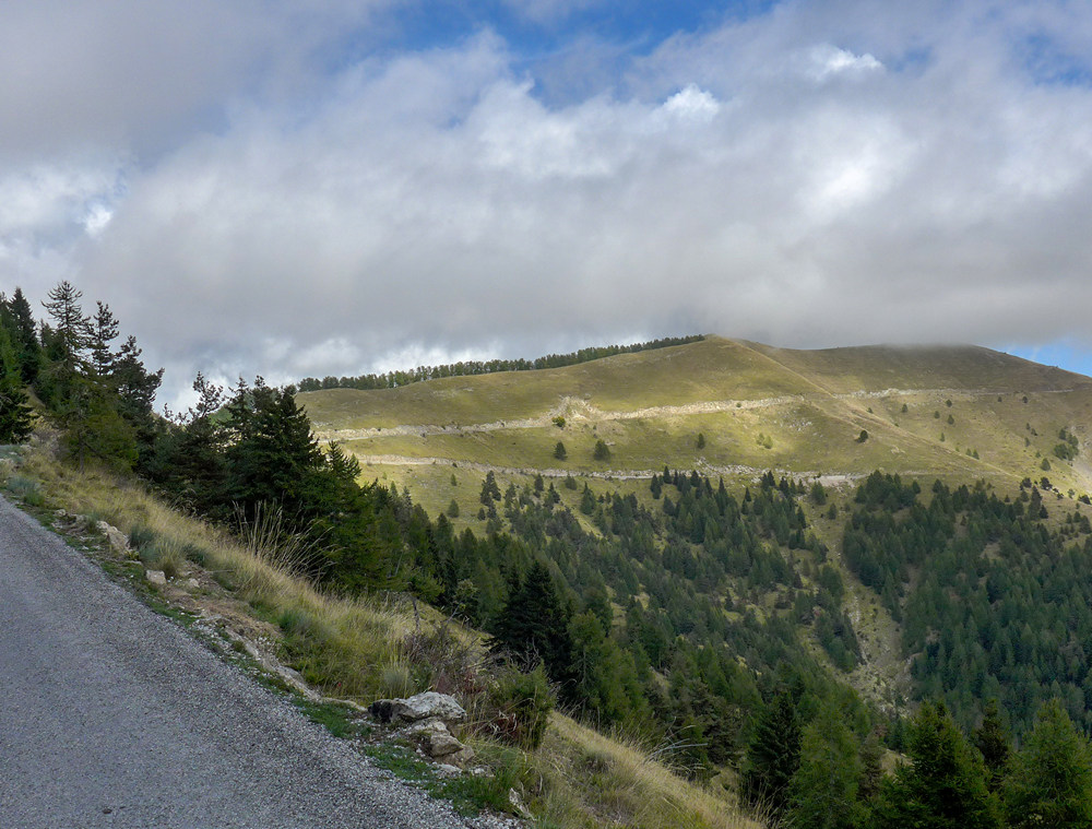
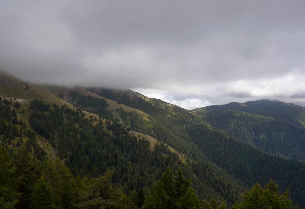
Further along, a big view opened out where I could see the road going up even further on some hills ahead of me. It looked like there was one road going up and one road keeping level or going down slightly
and I said to myself ‘please let the one going up be gravel’ and then I could have an excuse not to do it, while sticking to my promise!
Well, it wasn’t gravel, but luckily there was a result because it was a one-way system and it was no entry on the road going up.
So I managed to stick to my deal! I am now 270 m higher than the col. (To put that in perspective, that 270m bit I just tacked-on to the end of my climb has an elevation difference of more than the height of the highest hill in Kent).
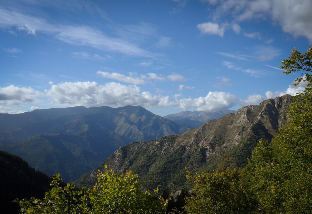
I’m really not looking forward to the downhill; it’s going to be freezing I think. I’m quite cold now and my jersey and base layer are soaking wet. And unfortunately there’s no sun to keep me warm. At least it was worth coming up this far because the view is excellent, whereas at the col there was no view at all.
The clouds are now rolling over the tops of the hills; it looks like they’re coming towards me. At the col, I had taken my neck protector thing off and it was so wet I didn’t want to put it back on again so that’s in my back pocket. I had put my arm warmers on at the col for the descent but they helped even coming up here because it really isn’t that warm at all.
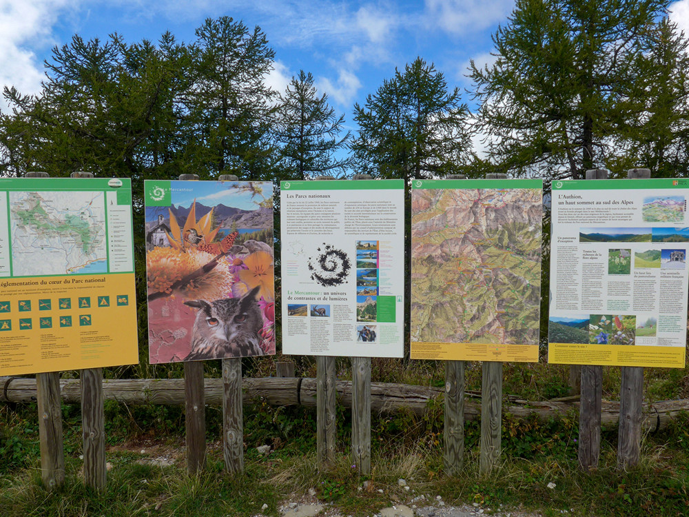
I’m just getting photos and looking at the notice board. A group of walkers have just got back to their cars and are changing into civvies.
It’s a shame in a way that the no-entry road is no-entry because that road would take me nearly all the way to L’Authion, at over 2000m, which would break my Mont Ventoux record. (L’Authion was the site of one of the last liberation battles of WWII in April 1945.) Anyway I’ve got to do the descent now. I’m dreading it. I’ll stop to take photos; maybe that will help me not to freeze.
17:24
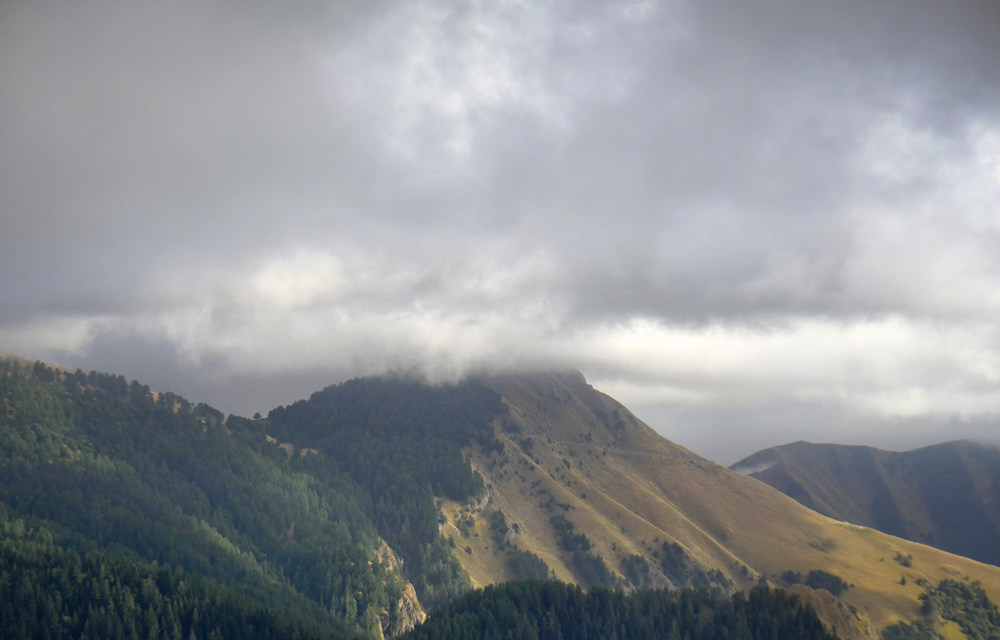
The beginning of that descent was extremely cold. I kept looking back over my shoulder; it looked like the clouds were chasing me as they came over the hills.
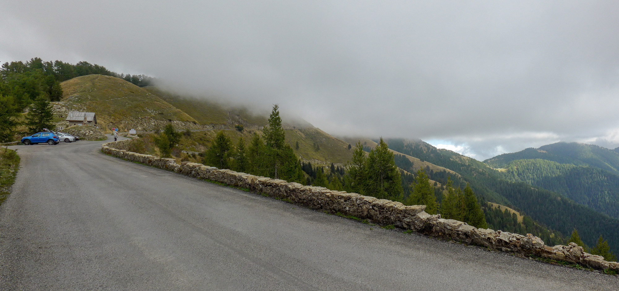
The ramblers drove past me, homeward bound, and it became eerily quiet after the sound of the last car had faded away below. I felt like I was the only one left up there, thinking I might soon be engulfed by cloud.
I stopped a few times for photos, which was a relief from the cold.
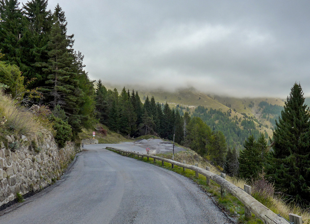
There was no sun for quite a while, and then suddenly it appeared.
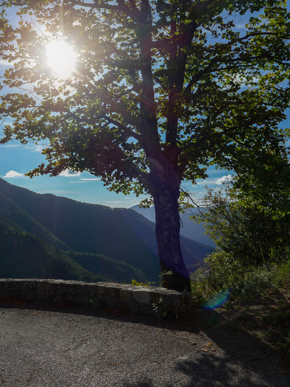
I stopped a couple of times to just stand there in the sunshine, trying to warm up, like an early-morning lizard.
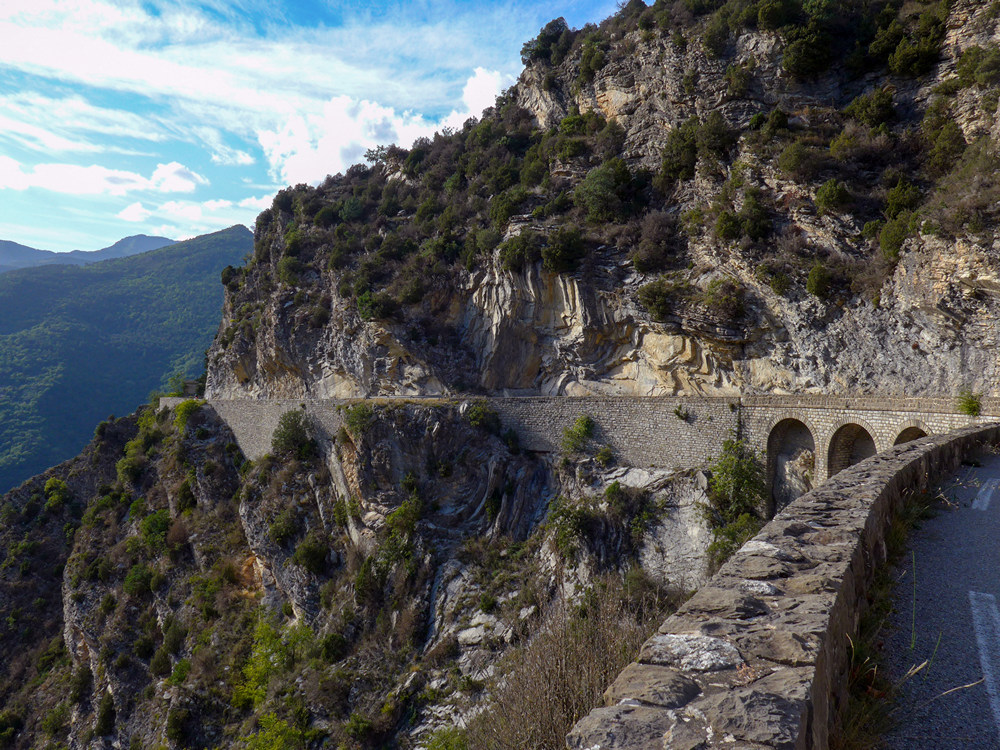
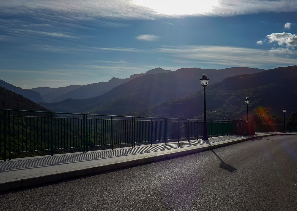
The funny thing about this ride is that when I was going up the hill I was thinking that there wasn’t much to see compared with yesterday’s ride. In fact I was thinking it was a bit boring, which was useful because I didn’t want to take any photos on the ascent anyway. On the descent, that’s where the most amazing views were. I can’t even believe that I thought it was slightly boring. I would pay to go on a ride with this scenery in UK!
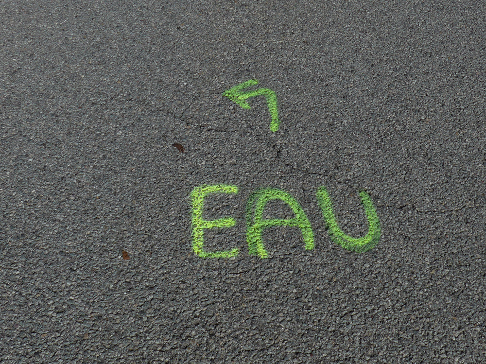
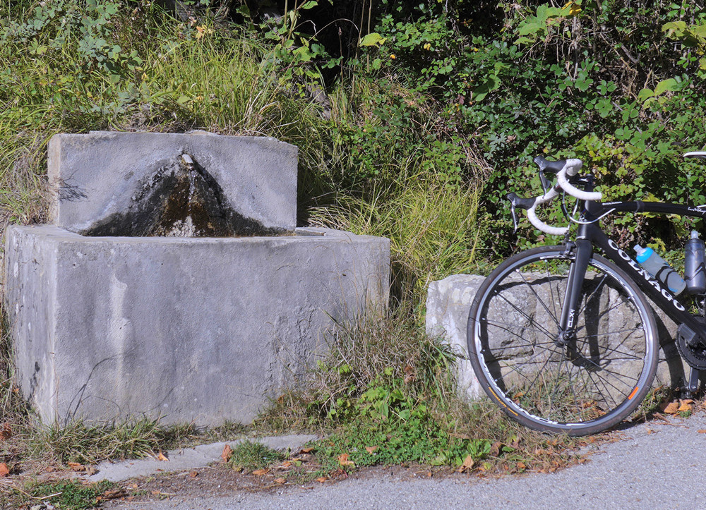
I topped up my bidon at the water fountain that was marked on the road that I had seen on the way up.
(On the way up at one point I’d emptied one of my bidons knowing I wouldn’t need it, to save weight! )
As I got further down the hill it warmed up. It was still chilly but not enough to make you want to keep stopping like it was at the top. So I could enjoy the descent more.
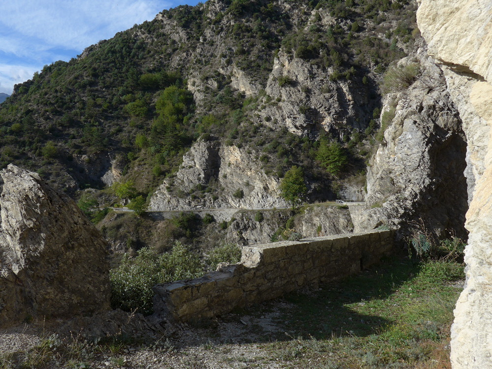
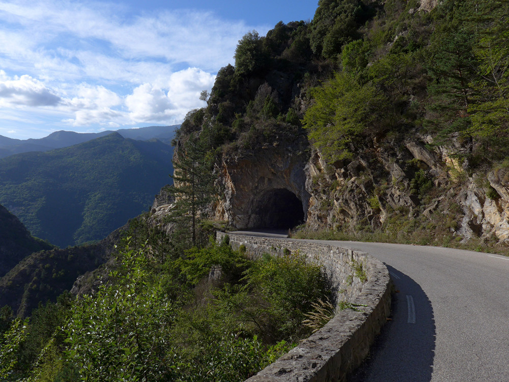
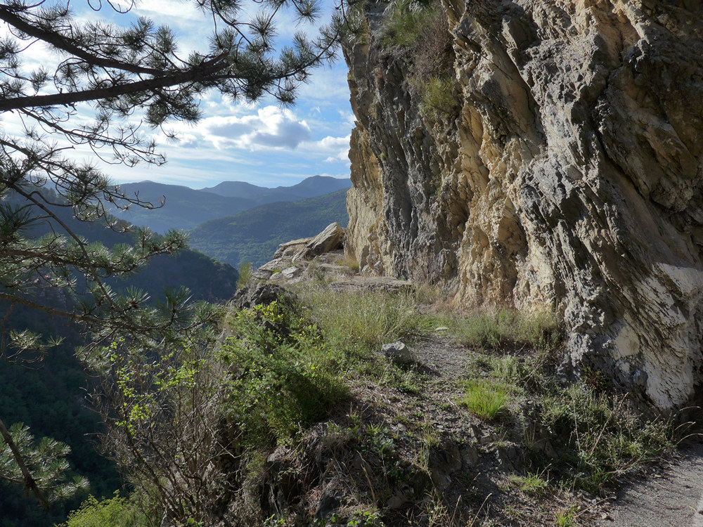
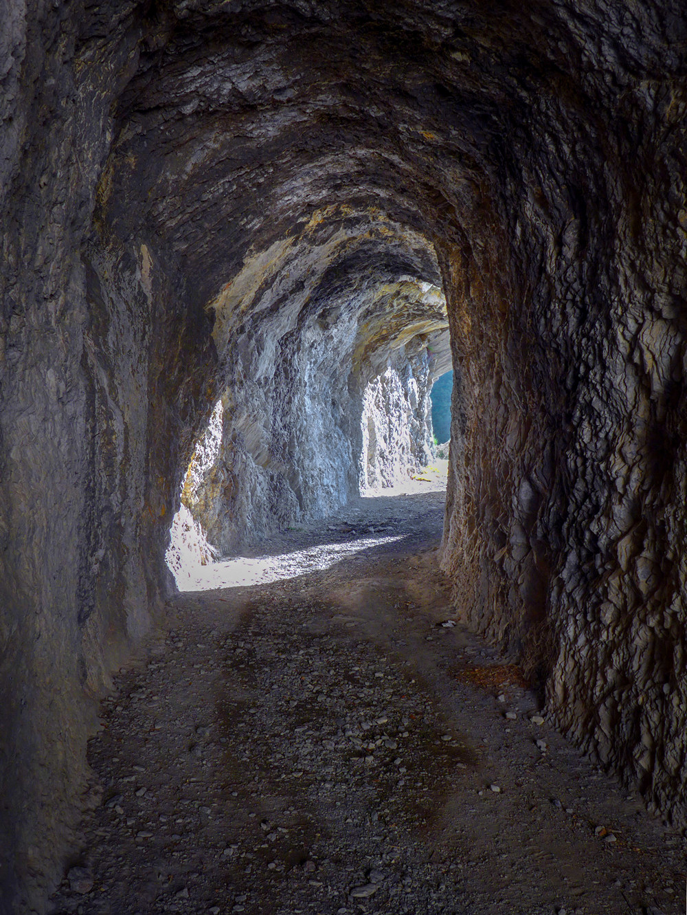
When I reached that tunnel I’d seen on the way up, I stopped to investigate
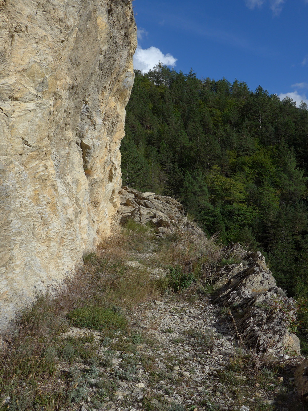
To the left of the tunnel was this ‘path’, but it didn’t look too accessible with those rocks further along
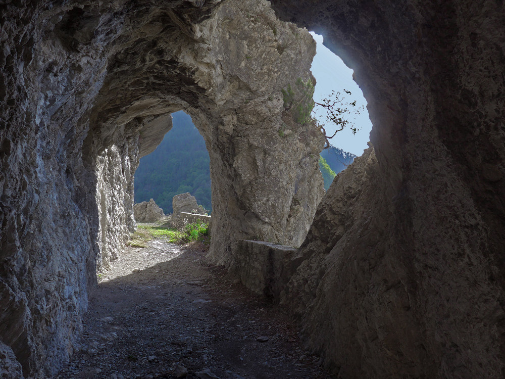
So I rode through the tunnel to the other side, and lifted my bike over the wall while I investigated the pedestrian tunnel
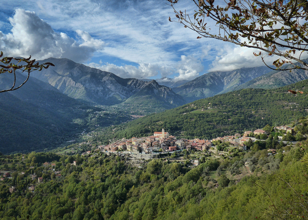
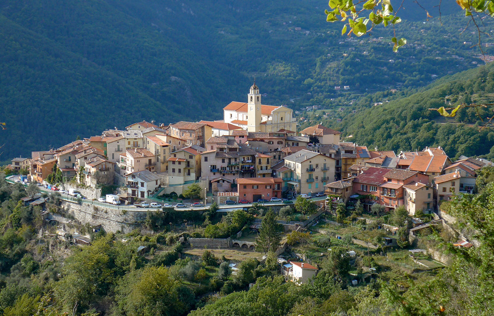
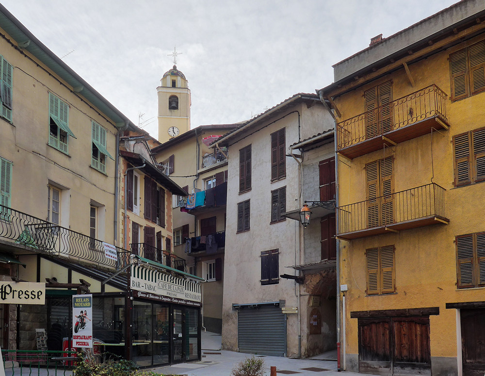
Two miles from the bottom there was a lovely view over La Bollène-Vésubie
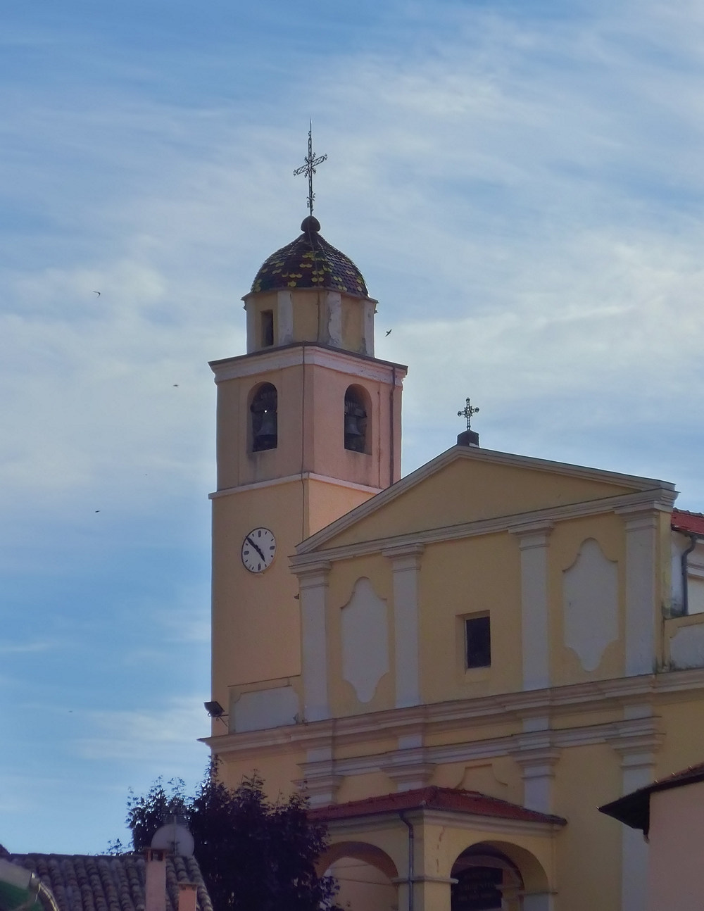
..and I could hear a hypnotic bell chime drifting across the valley
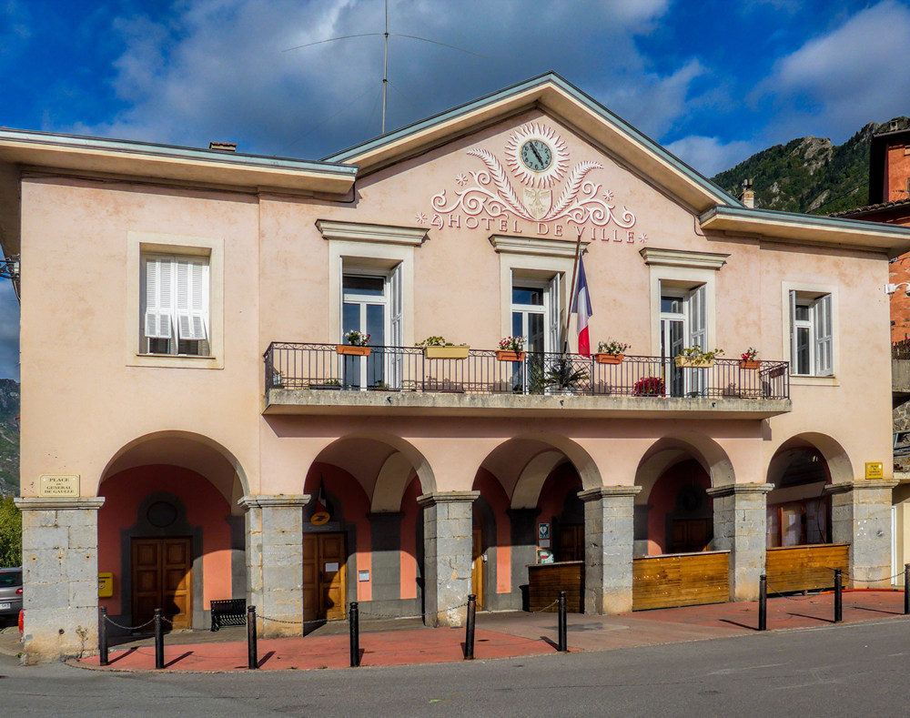
Once I was in the village, the mesmerising sound filled the air
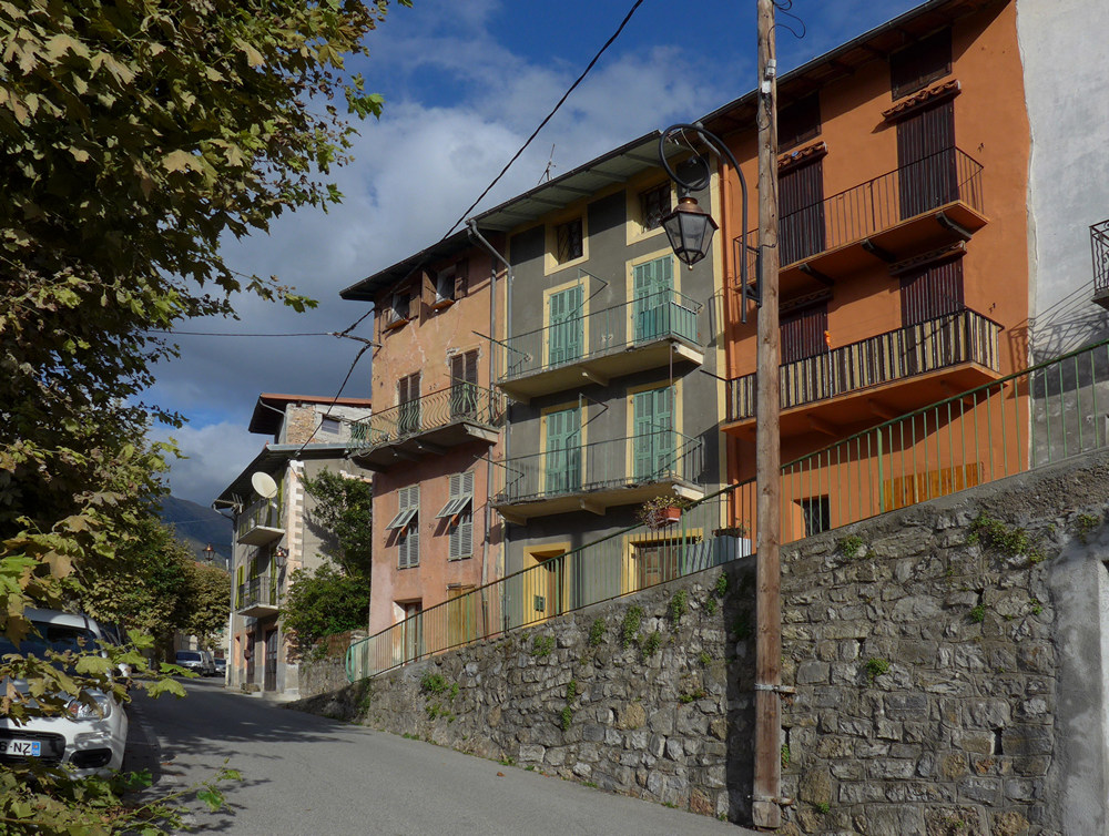
From there it was just a couple of miles downhill back to the van, another excellent day’s cycling completed!
I’d like to do this route again, and continue as high as possible at the top towards L’Authion. I’ve since read a report from one guy who went up the no-entry road at the top. I could have easily done that today, given better weather, as there was hardly any traffic, being a Thursday in early October. I only saw 2 other cyclists all day, and only one sports car, as I was descending, so it was very quiet for such a well-known stretch of road.
Read about another way up to the Turini here: Col de Turini (from Sospel)










That chiming is worthy of Hitchcock!
.. or Sergio Leone …
Picture an extreme close-up of a sweaty face and the strum of a Spanish guitar, flamenco-style.
But for that I think I would need to see some heat waves coming up from the ground.
I dunno, make it black and white, add some snow, and think beginning of The Lady Vanishes… or maybe even Spellbound…