Distance: 41.4 miles. Elevation: 5305 ft.
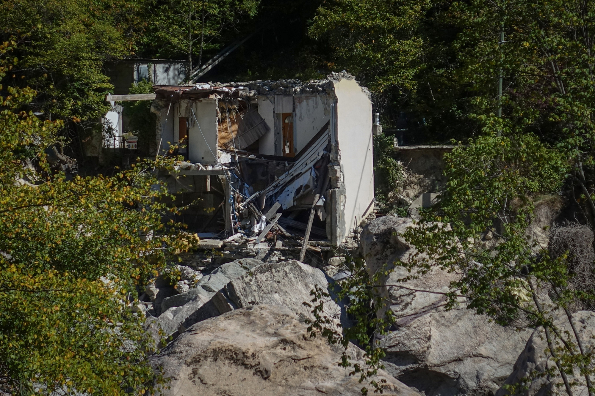
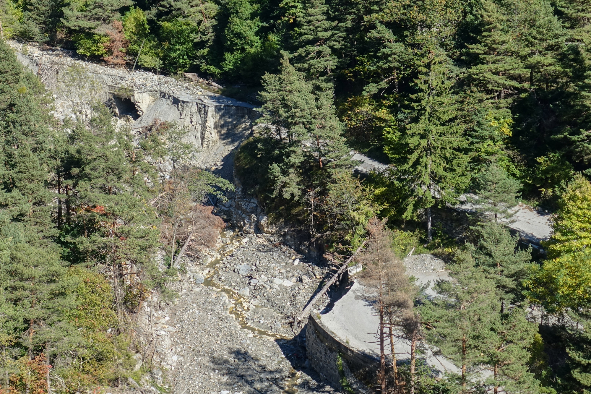
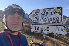
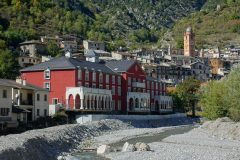
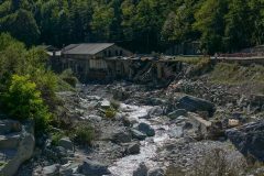
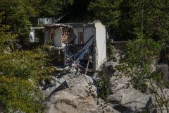
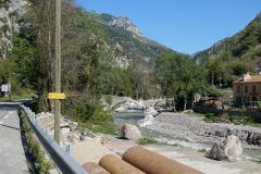
This ride to Col de Tende can be described as epic, for several reasons. The aspect that sticks in my mind the most is the sight of the catastrophic destruction wrought on this beautiful gorge by the floods following Tempête Alex, a year ago. I had already seen evidence of flood damage on previous rides. In fact I remember seeing the shell of a building by the river’s edge just outside Breil-sur-Roya, being propped up with acros. At the time maybe I didn’t fully ‘get it’. But today, I really did get it!
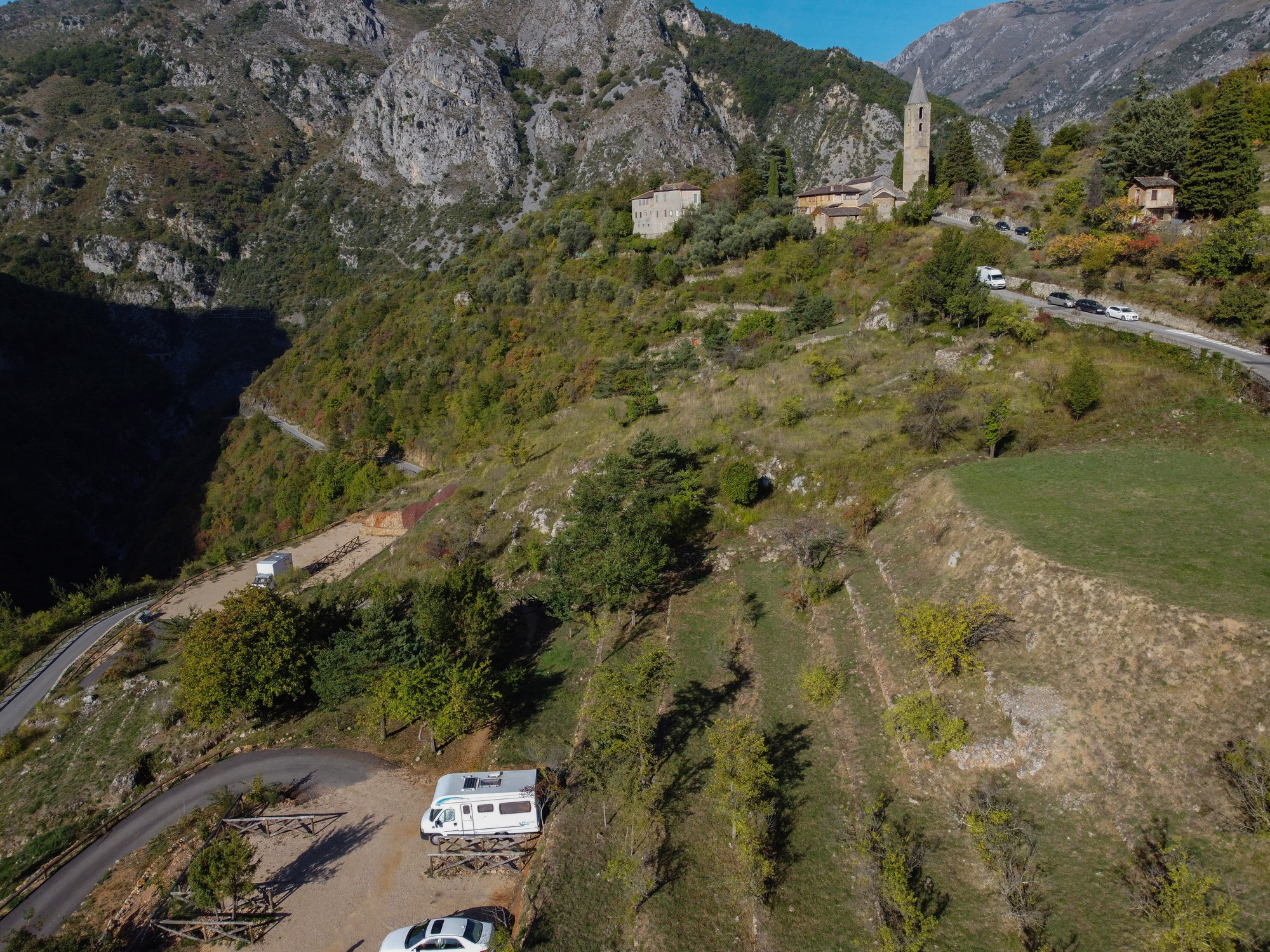
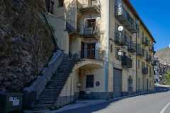
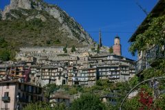
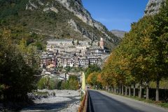
The day didn’t start particularly stress-free, when I nearly got my van stuck in the ridiculously narrow and twisty streets by the church in Saorge, the hillside village where I would start the ride. Luckily a local person gave some good advice and I found somewhere to park on the outskirts of the village.
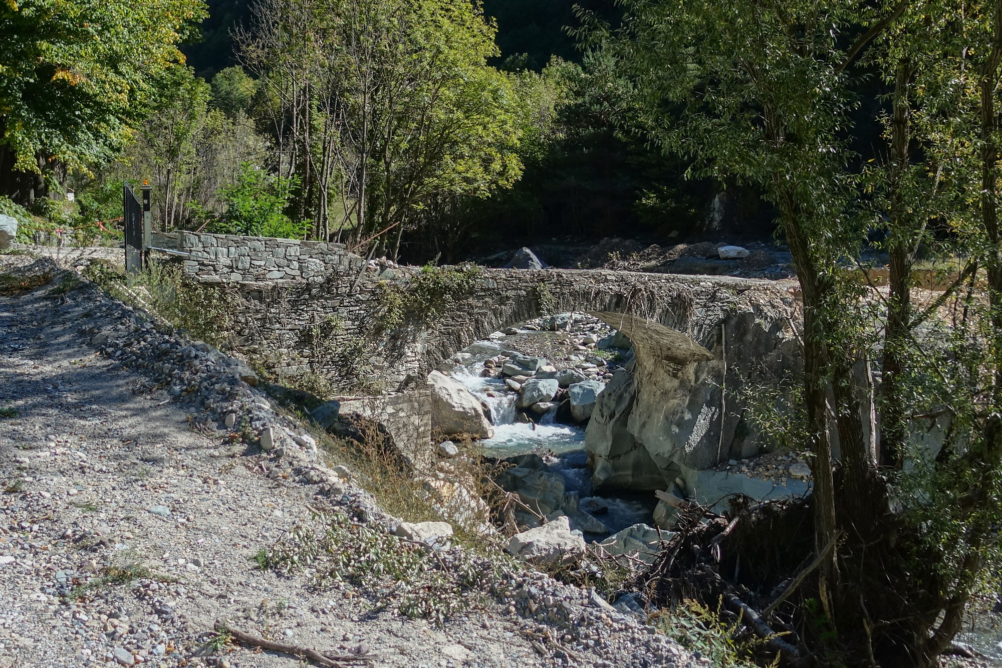
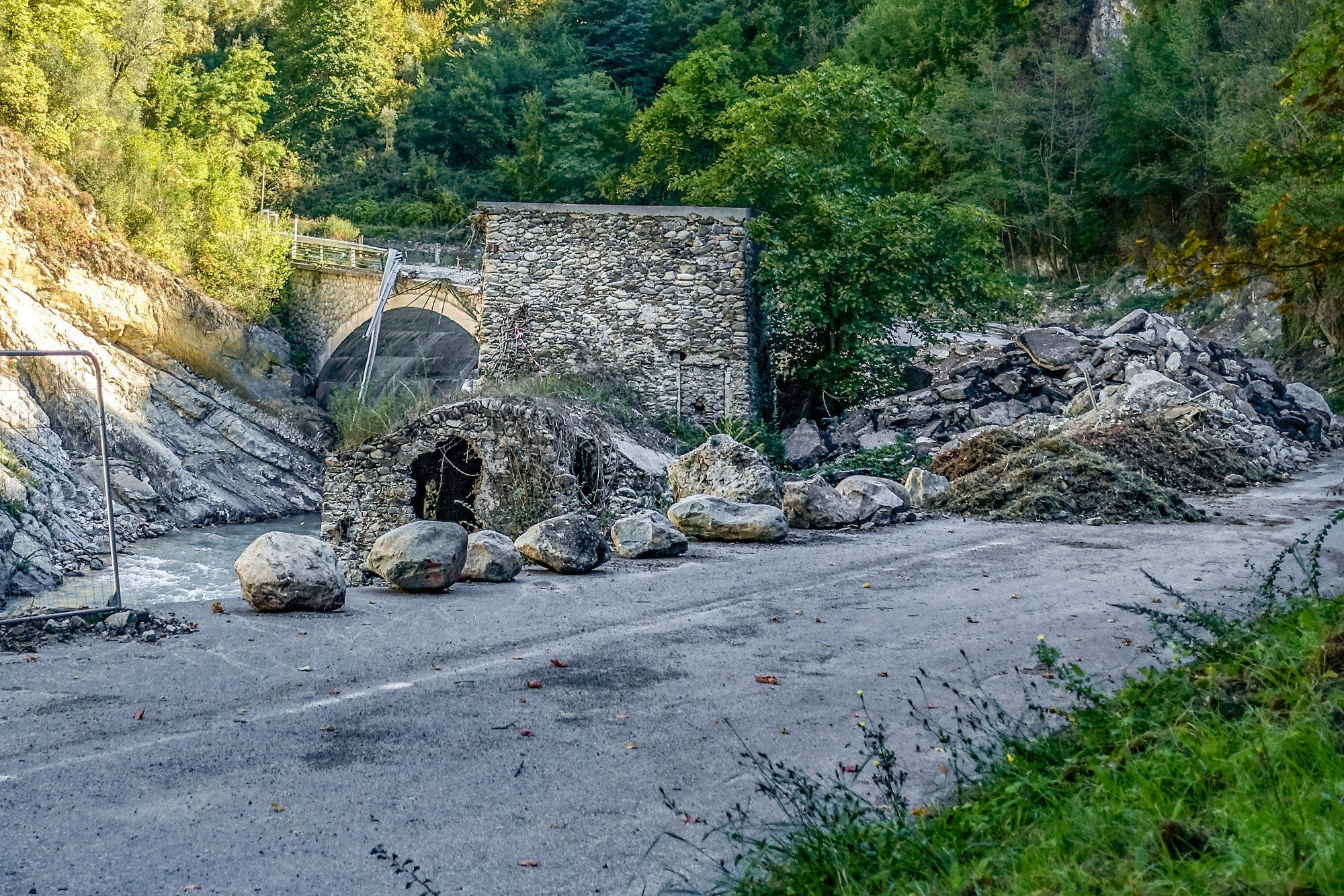
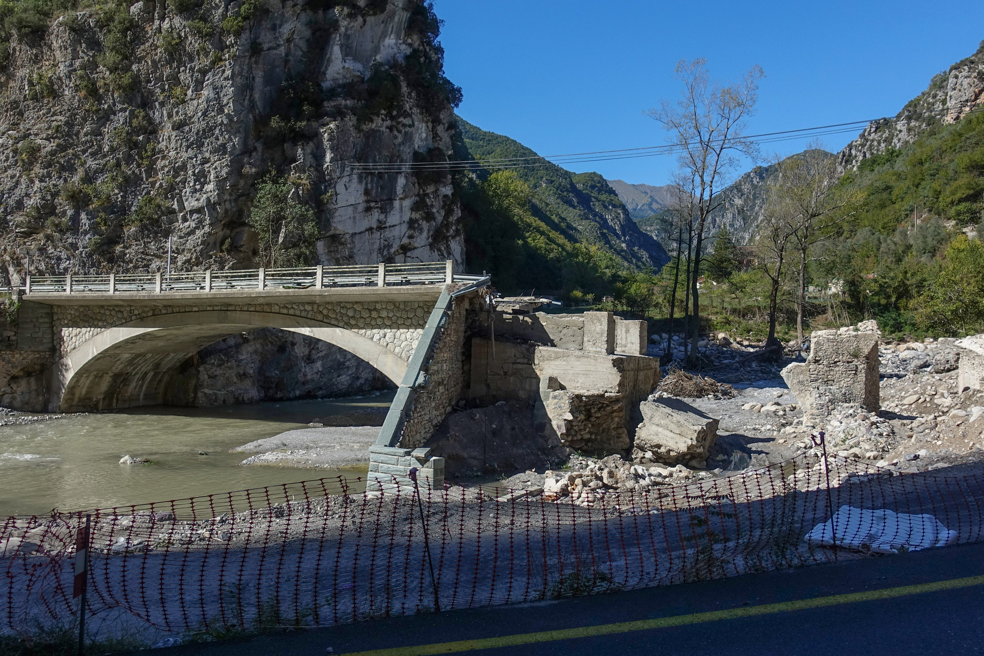
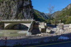
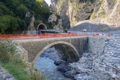
In fact, that chaos was caused by a bridge having been destroyed by the floods, so access to the village was restricted.
After all the stress, I couldn’t wait to get on my bike and wind down. I left at just after midday. Even the first bit of my planned route was wrong due to the lack of bridge. So the only way to get to the start of my ride was by riding nearly a mile down a 7% hill to the main road. Obviously that hill would have to be climbed at the end of the day.
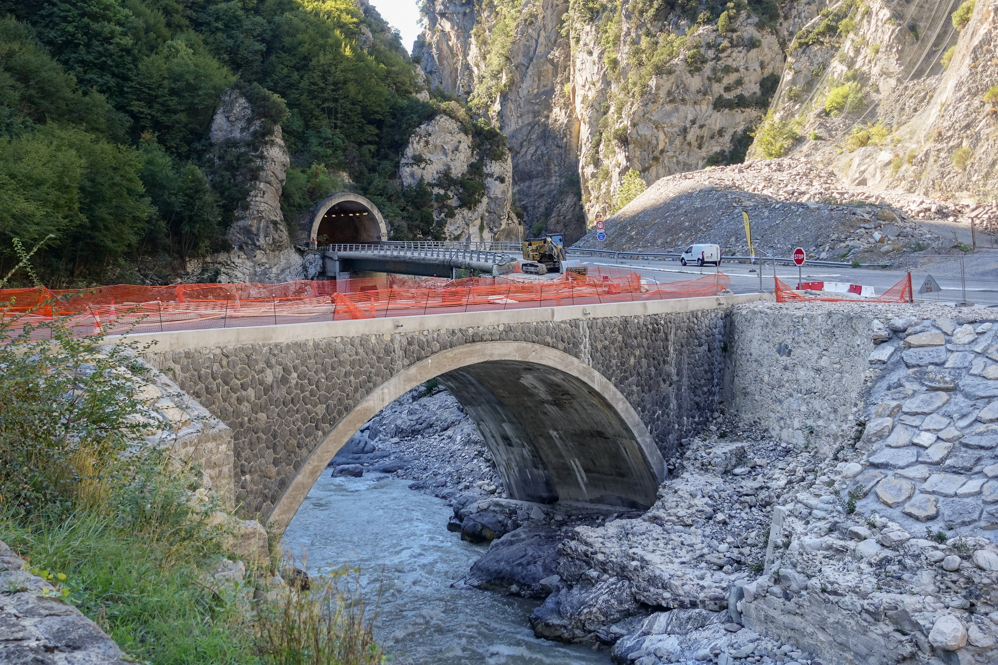
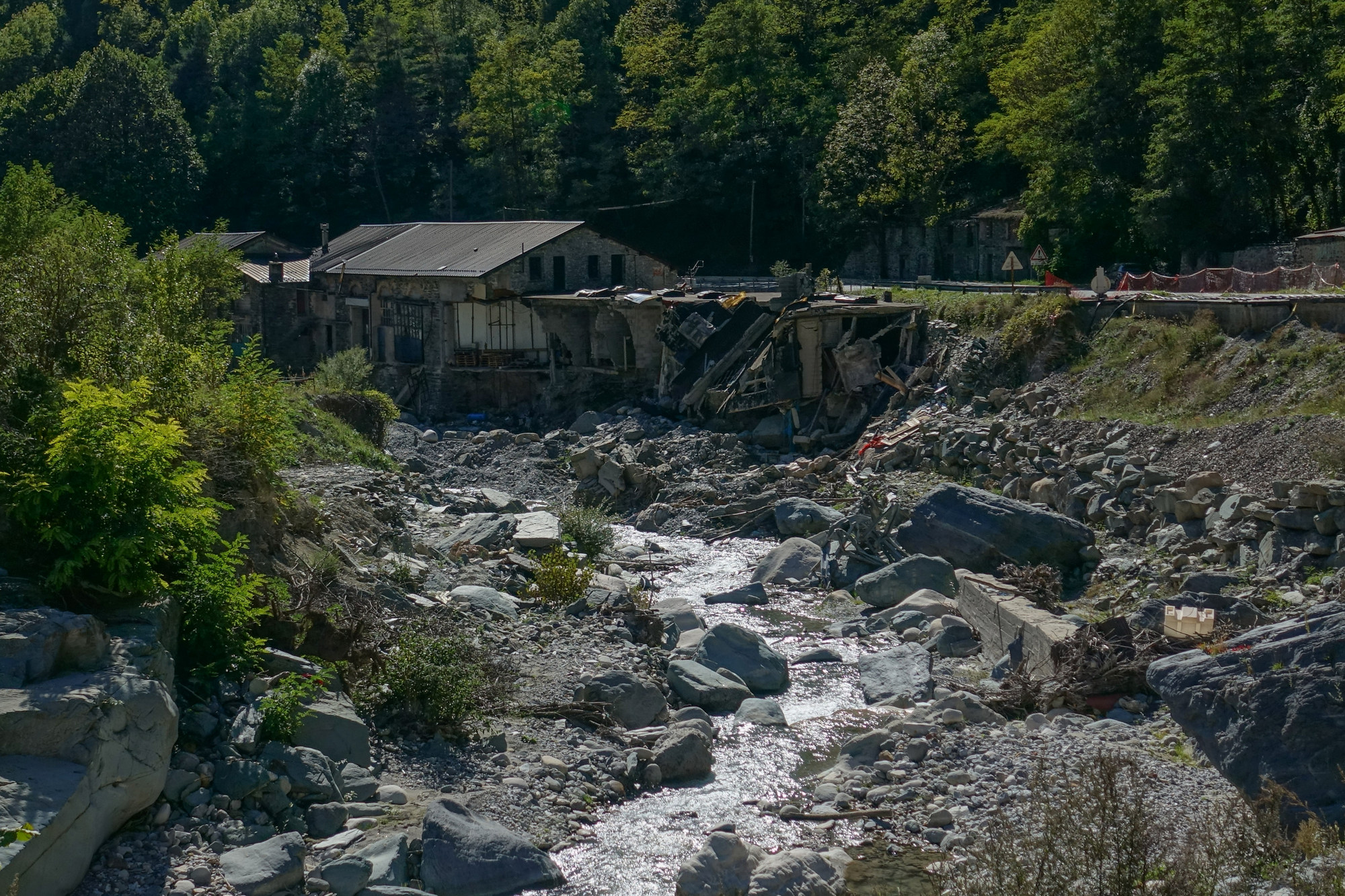
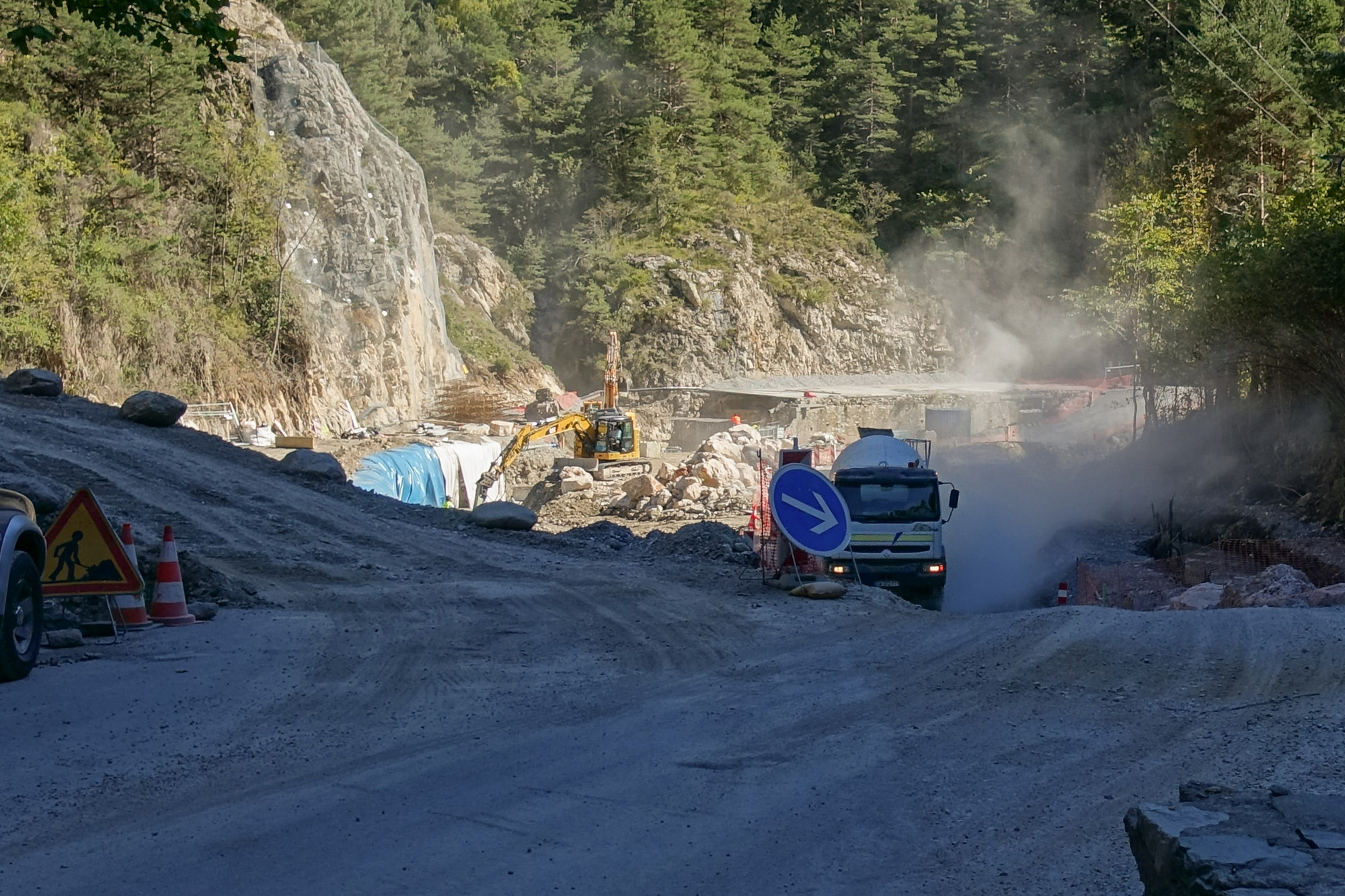
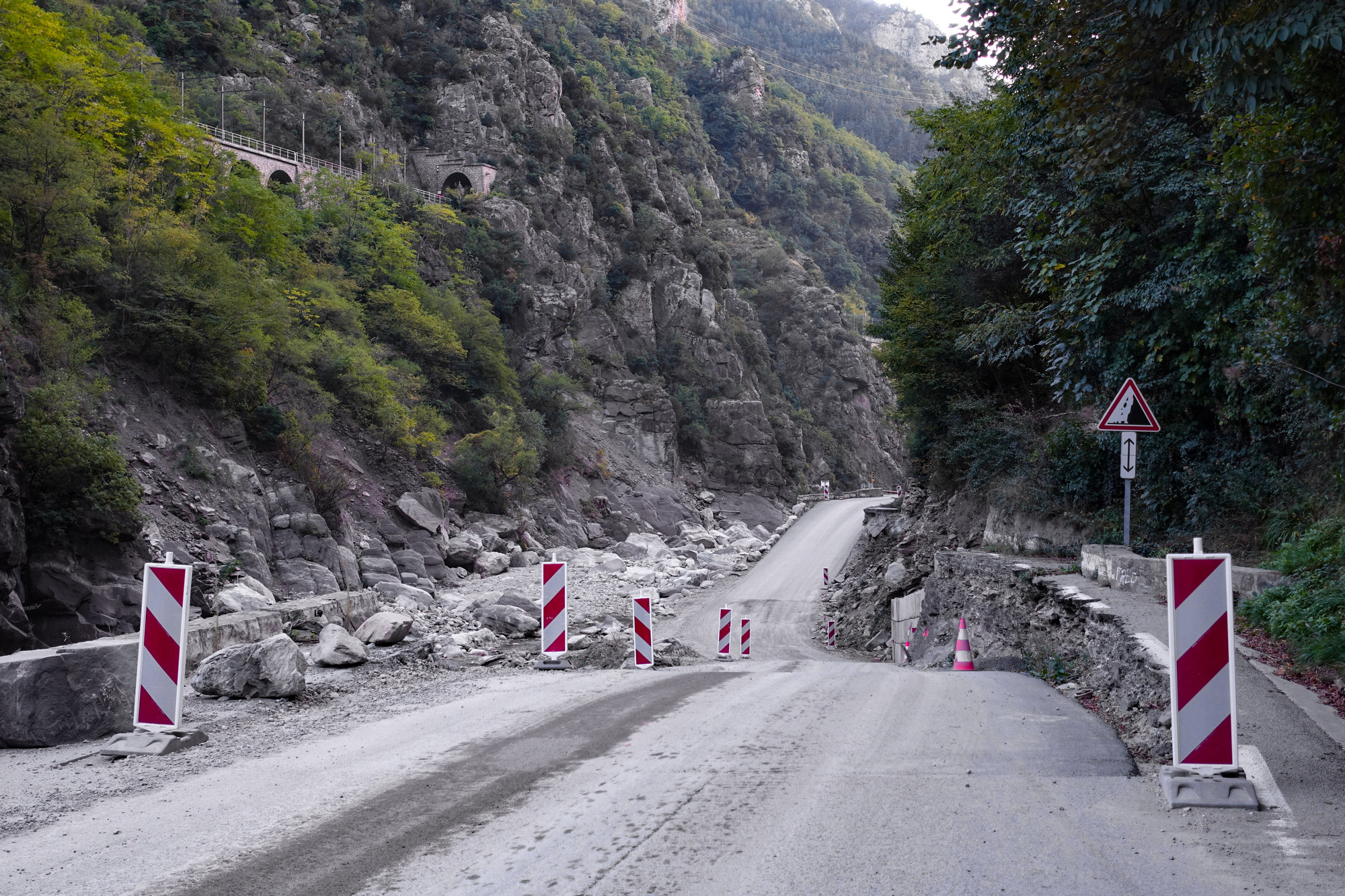
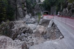
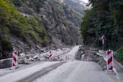
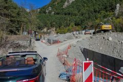
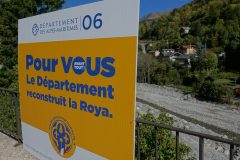
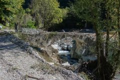
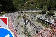
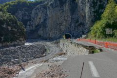
It was the flood carnage that dominated the first part of this ride. I’d already seen some of the effects of the flood further downstream driving to the start of today’s ride, but I wasn’t prepared for what was to come. Last year (2020) in early October, tempest Alex caused major flooding of at least three valleys in SE France – the Tinée, the Vésube and the Roya. One year on they are still repairing the damage.
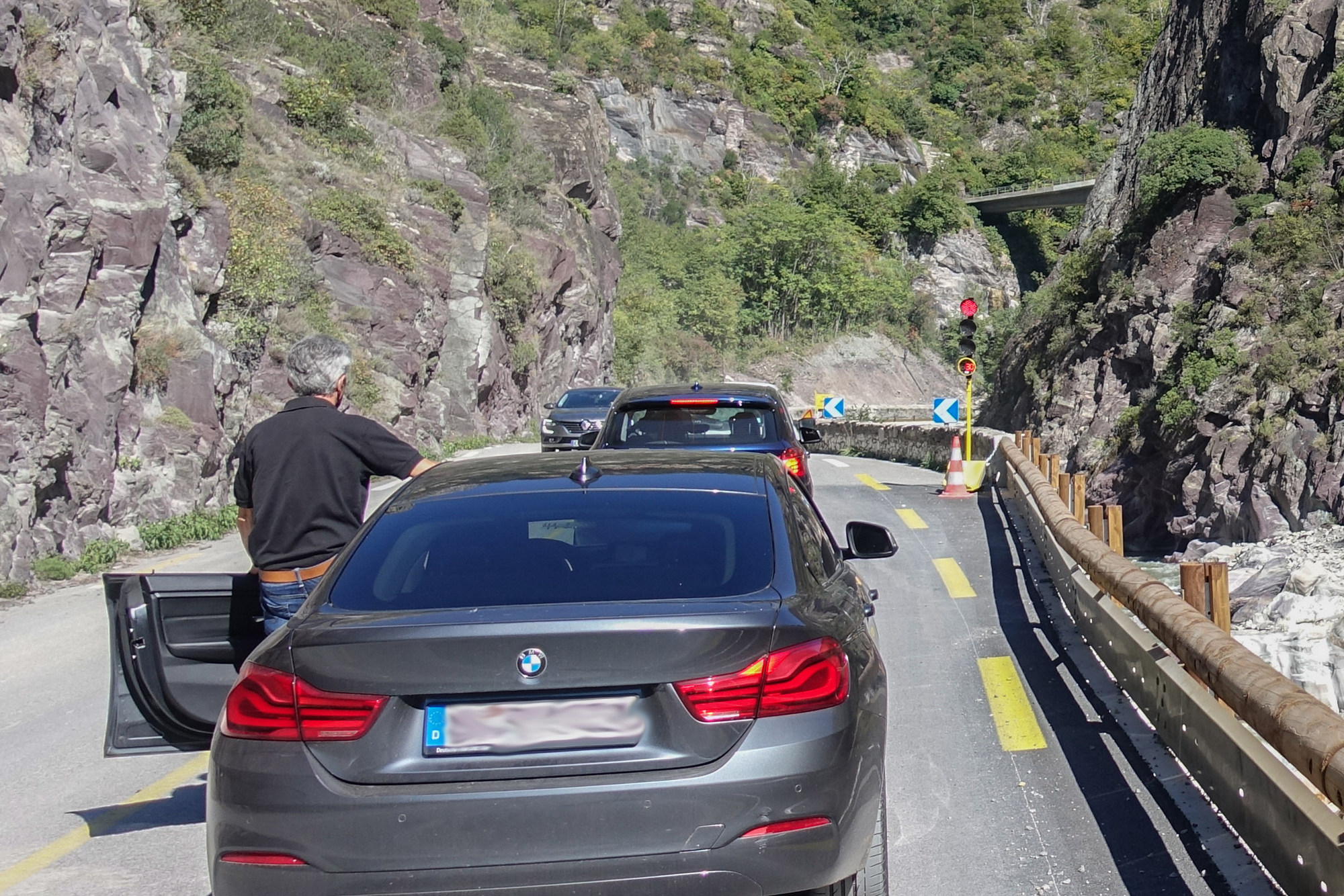
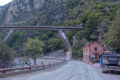
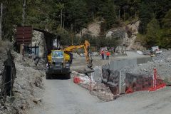
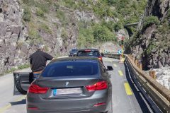
So right from the start my ride was interrupted frequently by temporary traffic lights, controlling one way traffic sections where workers were repairing either the road or other infrastructure.
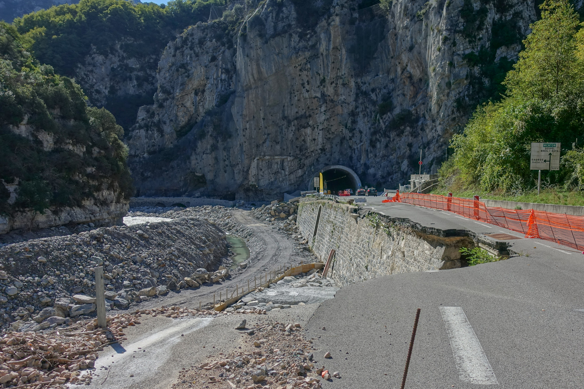
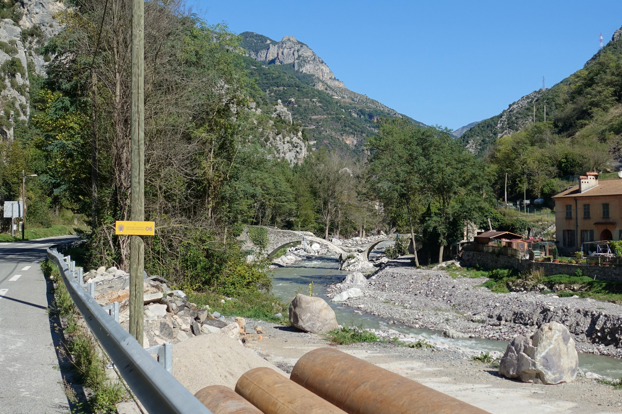
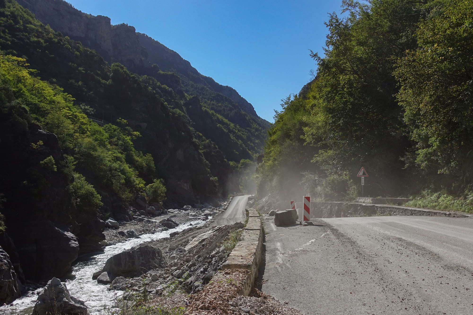
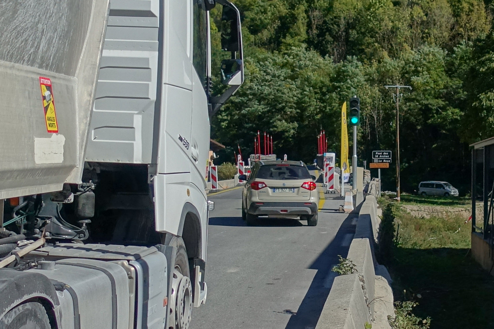
It got a bit frustrating actually, ride-wise, to have to keep stopping. Every bend I went round revealed another set of lights
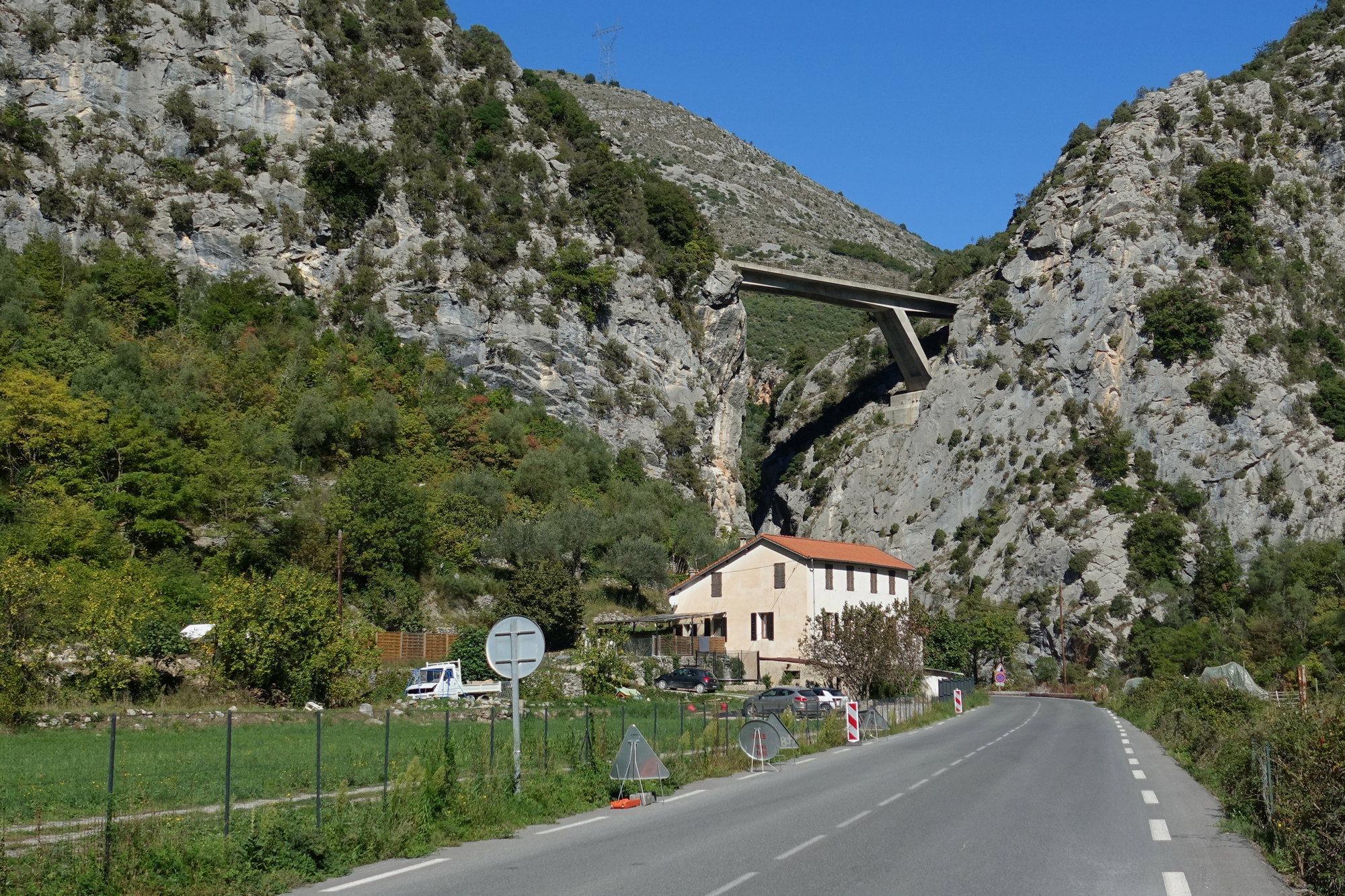
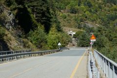
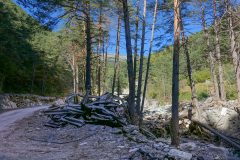
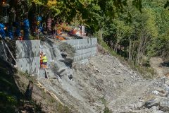
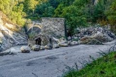
It felt like I was riding through a war zone – bridges were out, roads destroyed. And this is a year later. Thinking about the night it happened, I can’t imagine many things more frightening than hearing the massive roar of flood water and all that’s carried with it, thundering down the gorge at night during that torrential storm.
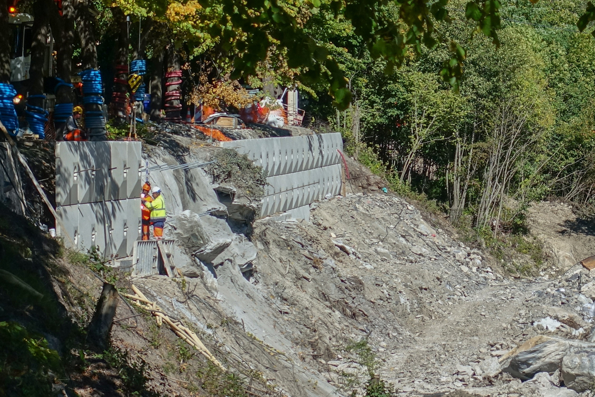
There were so many workers, lorries, excavators, etc. It must be costing a fortune. For every photo of wreckage I stopped for, there were ten I just rode by. There was one point where we were held up for ten minutes at the entrance to a tunnel by a guy with a walkie-talkie. Once we were let through the tunnel, I saw that they were clearing trees. It didn’t look like the work was connected with flood damage. The French certainly know how to look after their country.
Ten miles into the ride (which had taken ninety minutes!) came Tende, the last town before the Italian border.
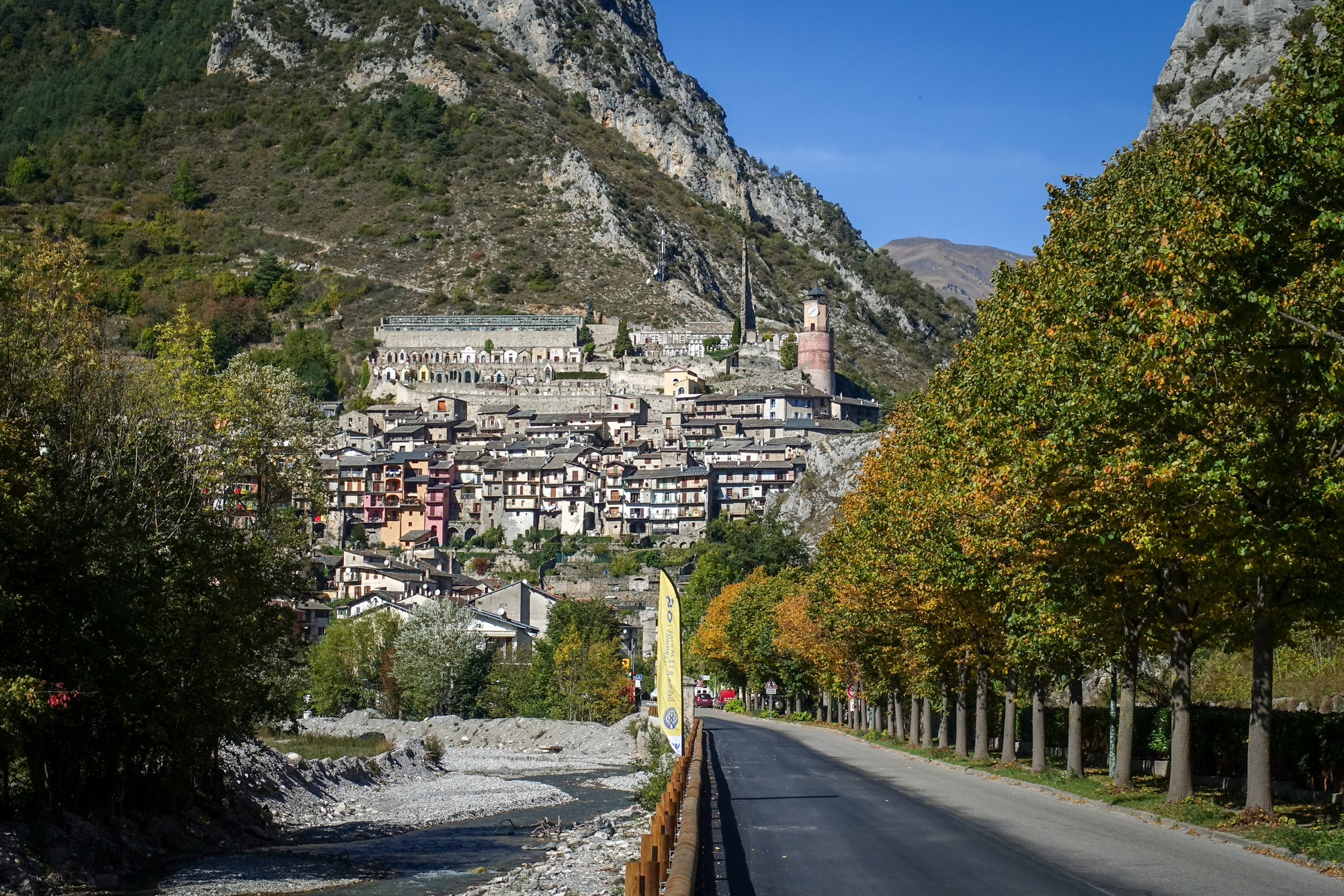
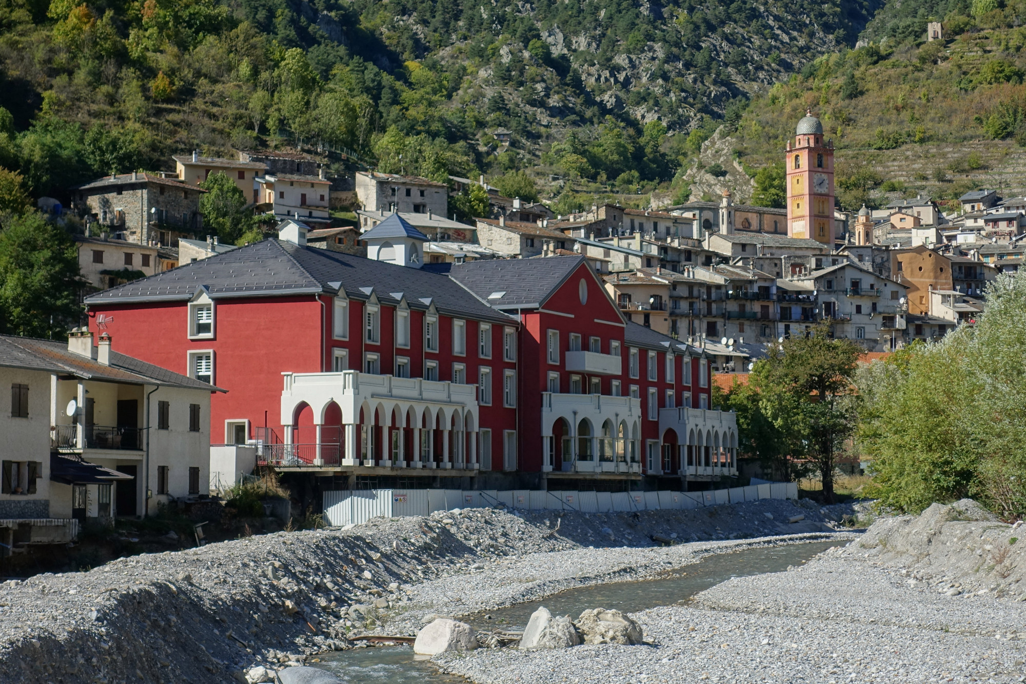
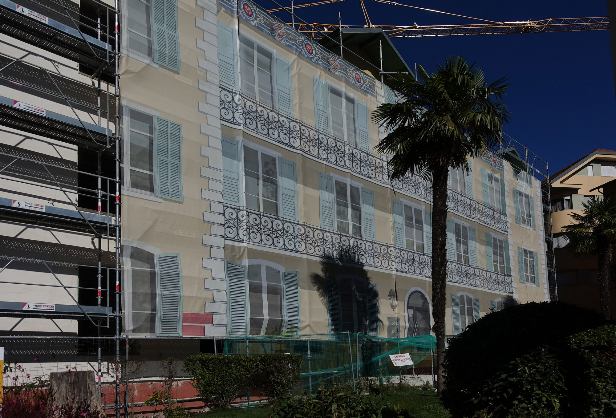
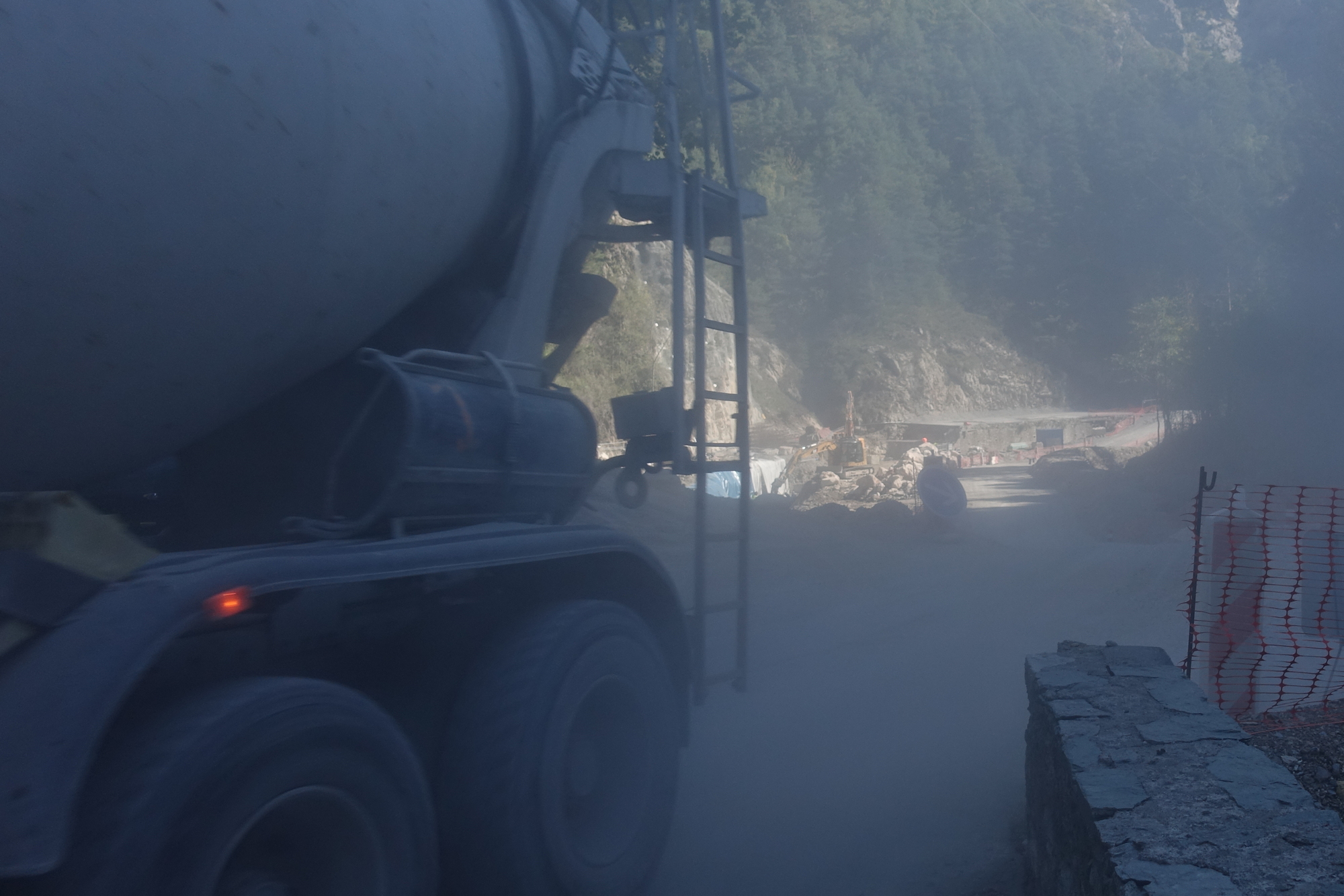
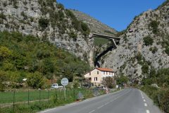
Through Tende, more chaos ensued
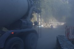
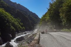
Reading about this climb beforehand, many cyclists had complained (before the floods), that this road was very busy with heavy traffic – it’s a road between Italy and France so that’s understandable I guess. But today there was hardly any traffic, although quite a few cement mixers and lorries carrying giant concrete sections, but that was obviously connected with the repair work.
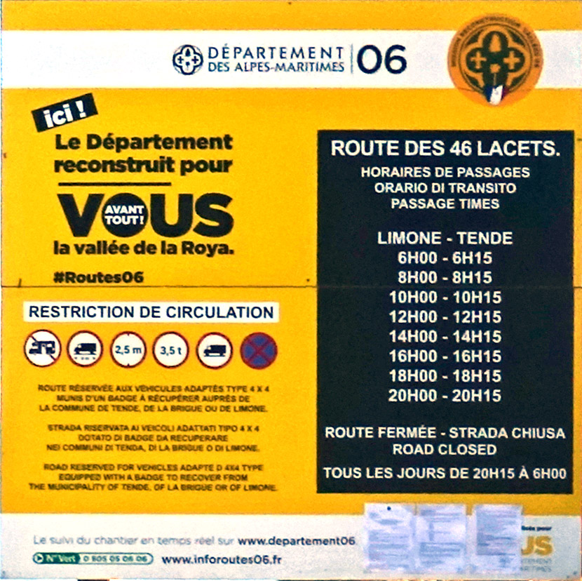
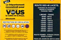
It was only later in the ride that I discovered that the tunnel was closed. So that explained why the roads were empty save for construction traffic. It also explained why the construction work upstream of Tende was more disruptive to normal traffic – with the tunnel closed there was only one place this road led to – and that was the gravel track to the col de Tende.
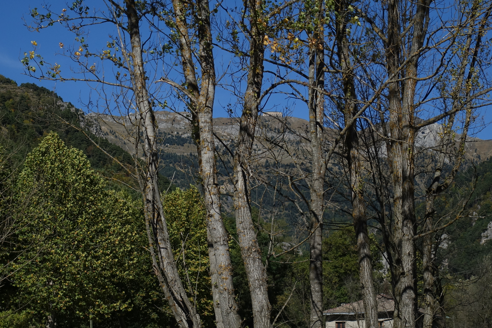
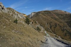
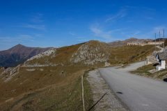
I looked up and saw the ‘fort’ near the top of the col – that’s where I was heading
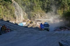
At one point we were held up for fifteen minutes (it felt like longer) while a construction vehicle smoothed the temporary road out
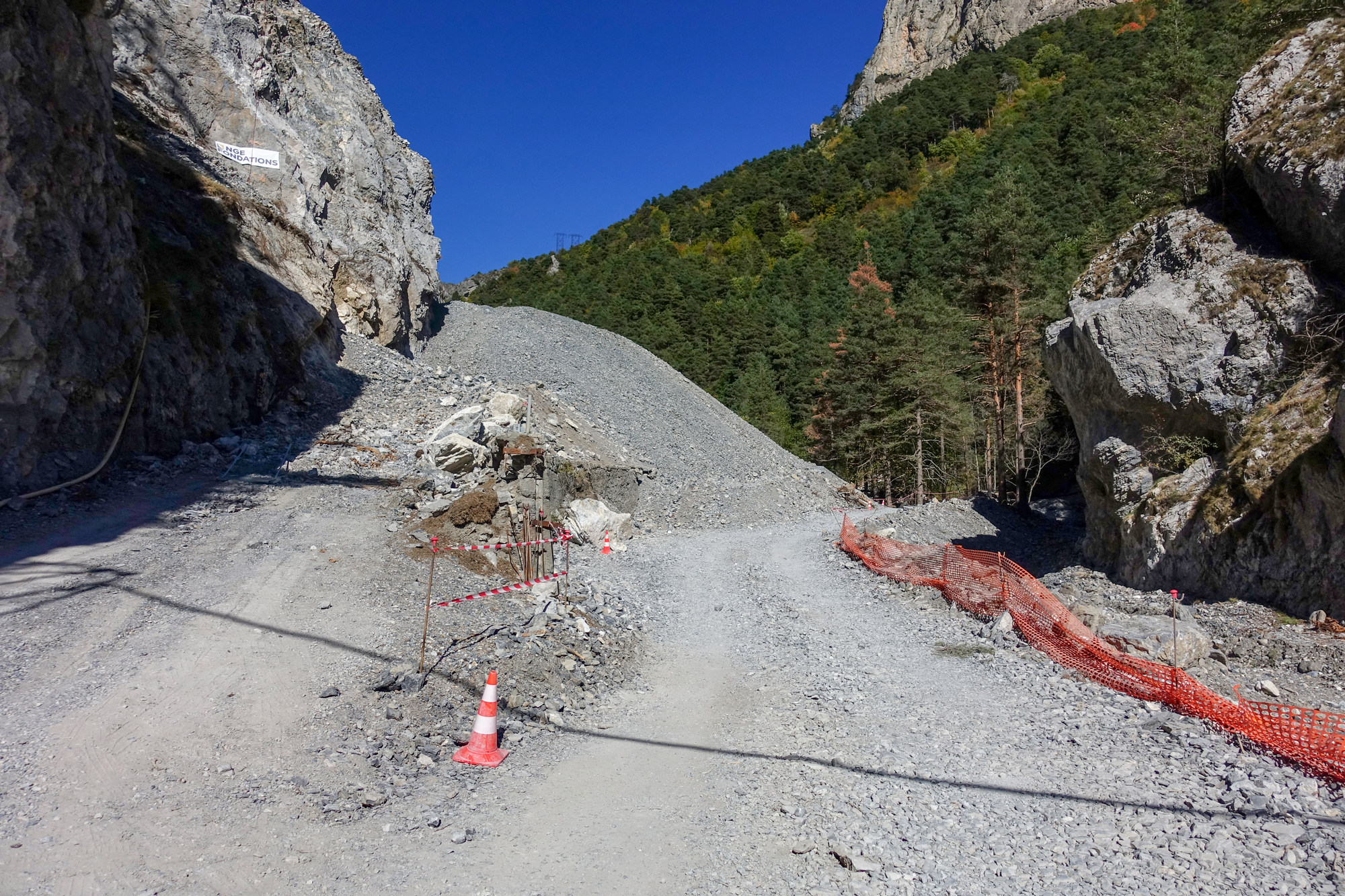
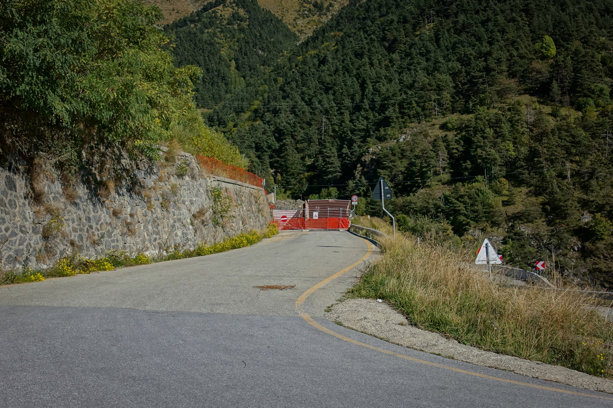
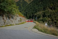
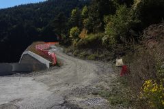
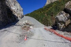
Once past that delay, I came round a bend to be confronted with what looked like a road completely blocked with a huge pile of gravel.
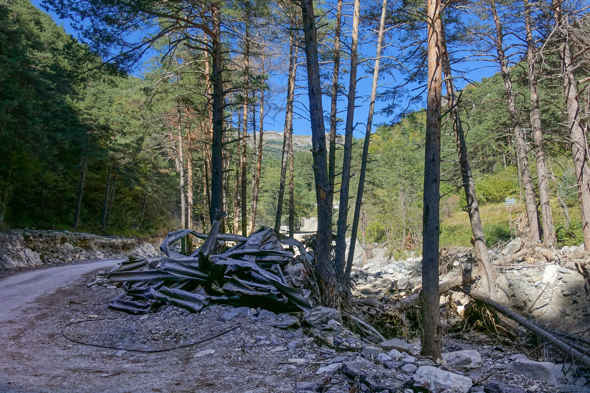
My heart sank for a moment as I thought my ride was over, but then I saw that there was a way round to the right. Further up the road was a pile of twisted armco barrier
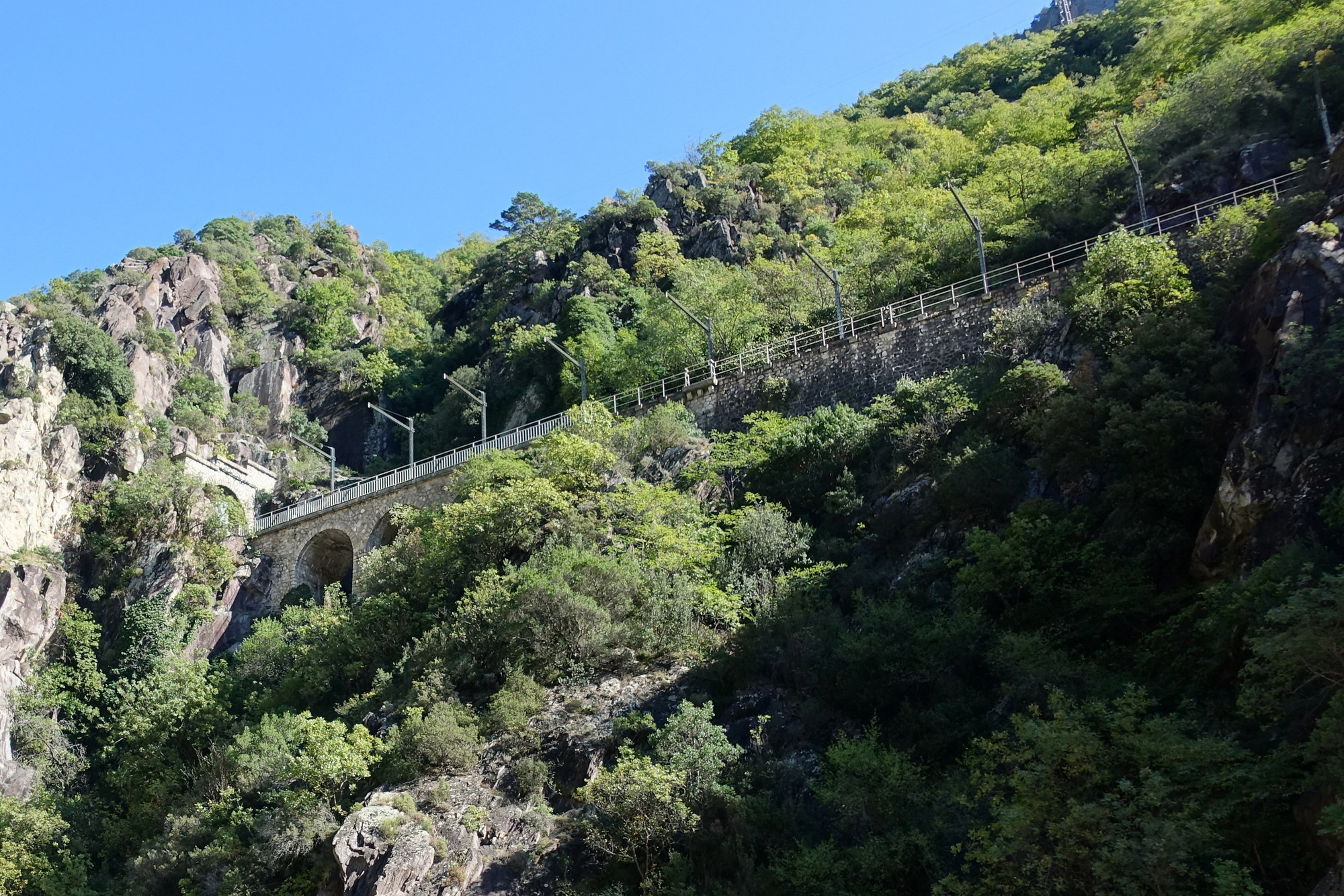
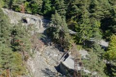
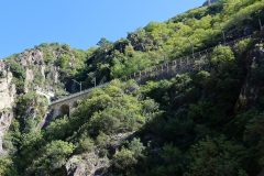
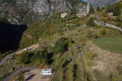
When planning this ride, some advice online was to take a quieter road up to the tunnel, and I had been trying to incorporate that in today’s route but I gave up for some reason. Anyway, it’s a good job I hadn’t included it, because at one point I looked over and saw it down on my right, with most of the road having been washed away
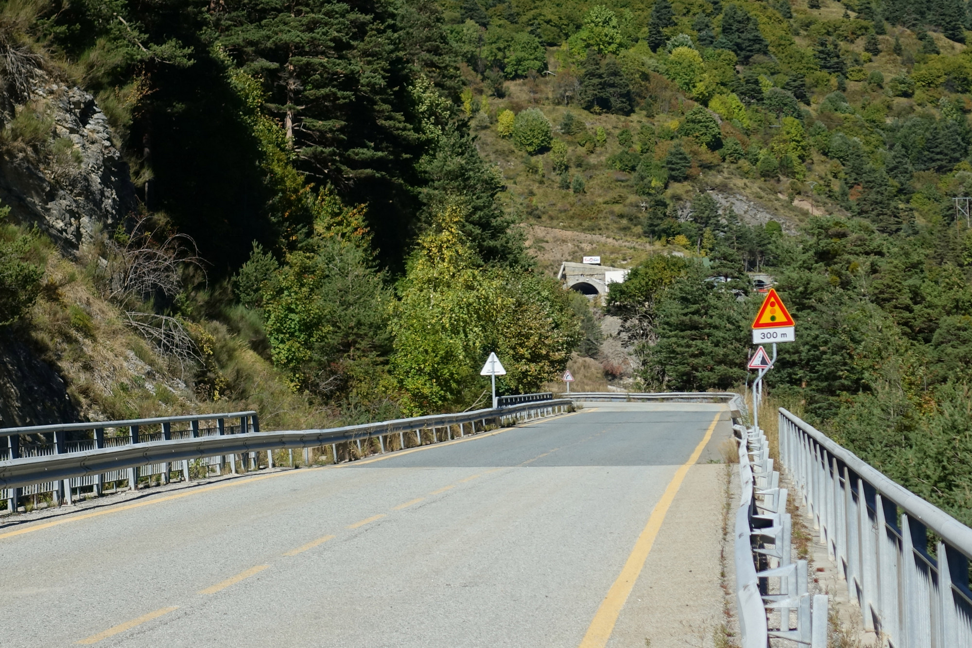
If you’ve had enough reading about floods and road reconstruction, you’re in luck, because now at last I had reached the tunnel approach road, which is far above the river and with beautifully smooth tarmac. It was on this section I heard voices approaching from behind, but no sound of a car. Two riders on electric mountain bikes pedalled past me, chatting in a relaxed way.
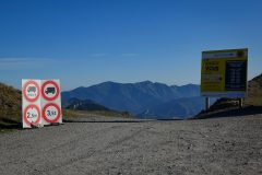
After climbing a couple of large switchbacks, I reached the closed tunnel …
… and the start of the gravel track
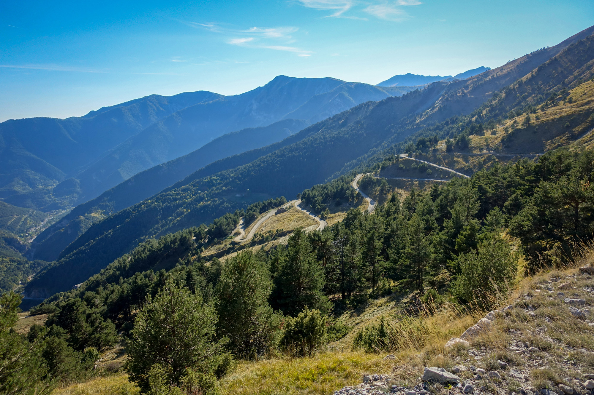
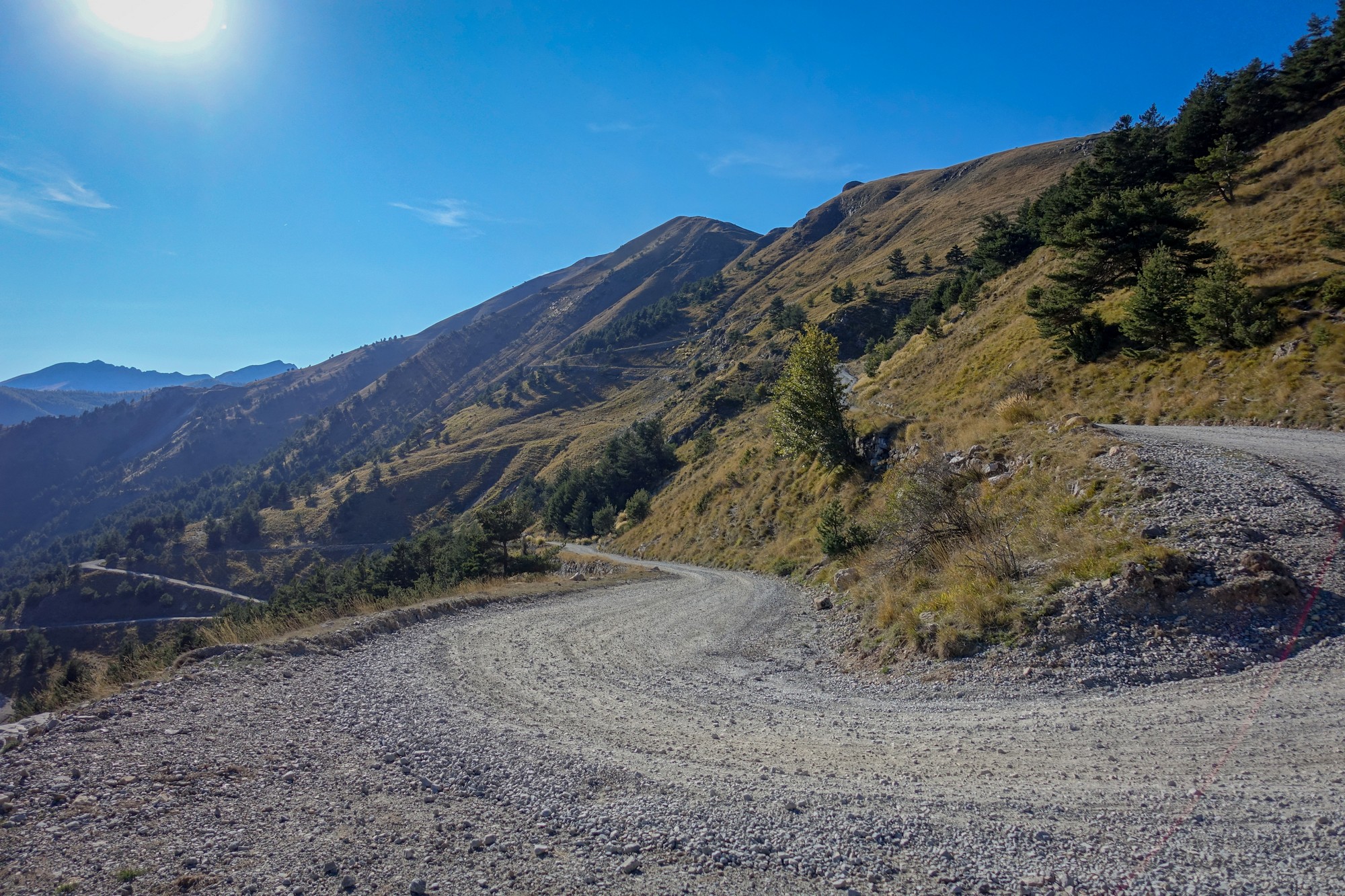
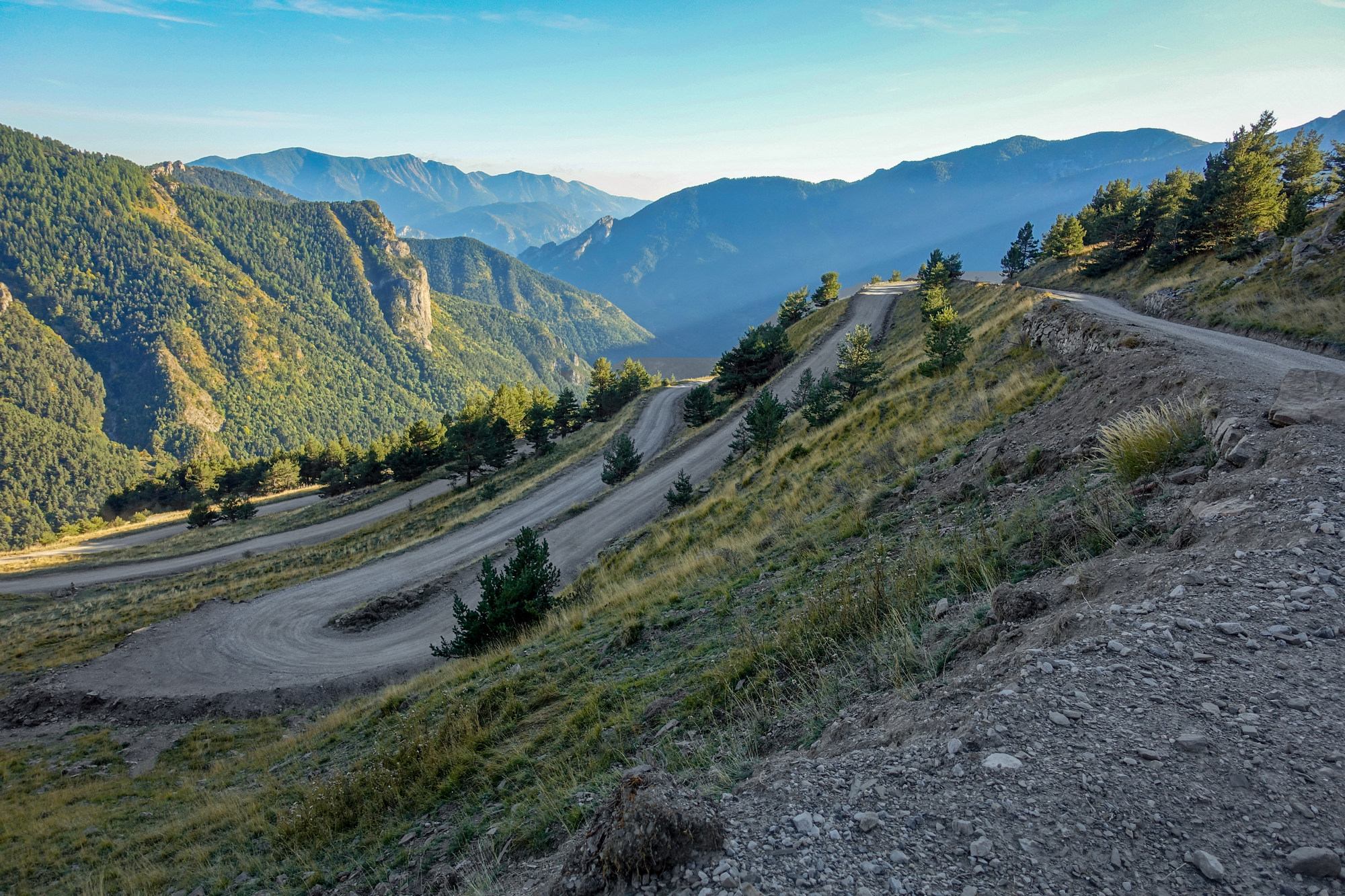
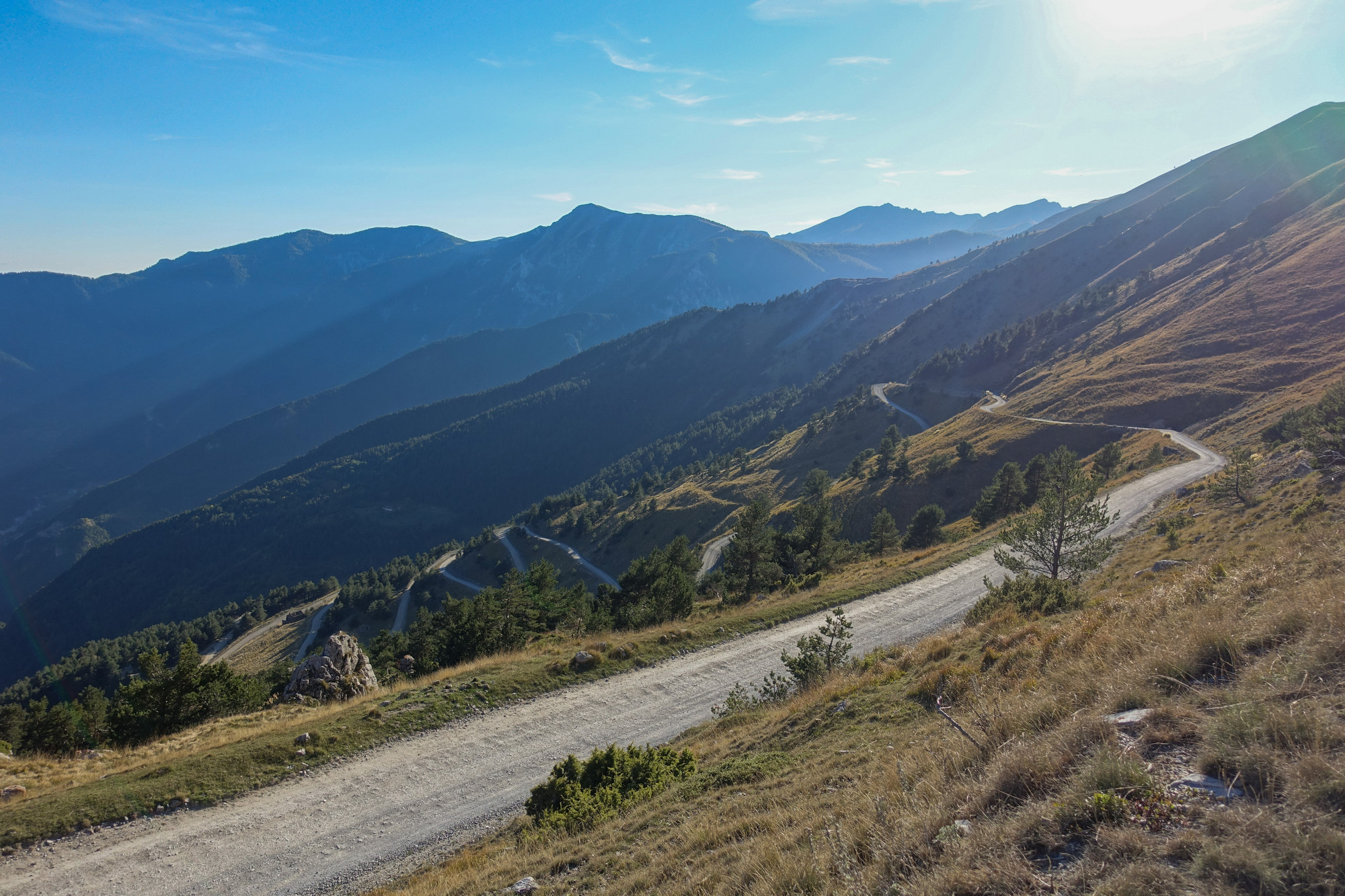
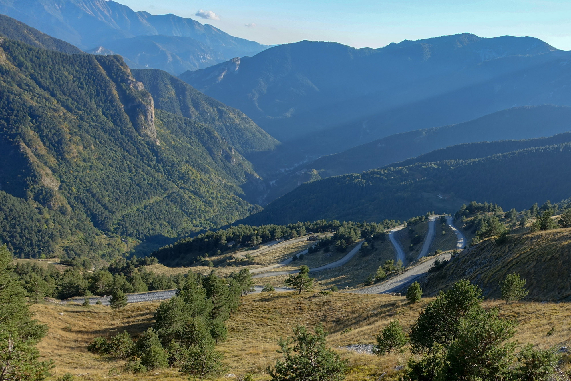
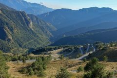
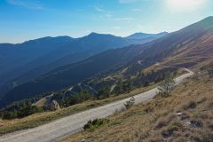
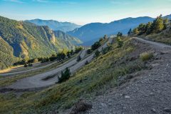
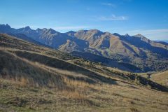
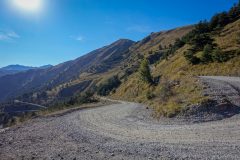
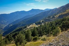
The climb from here to the Col de Tende is five miles, with 48 hairpins, which ascend 2000ft at an average gradient of 7.3%. Some sections are much steeper. That would be significant even on a proper road, but on gravel and a rutted track it was a massive challenge. The road starts off with badly damaged tarmac and eventually turns into gravel. The worst bits were the bends – they were deeply rutted and seem to have collected the larger stones. I had to get off on some of them. In photos the gravel always looks so smooth and rideable, but when you are on it it’s a different story.
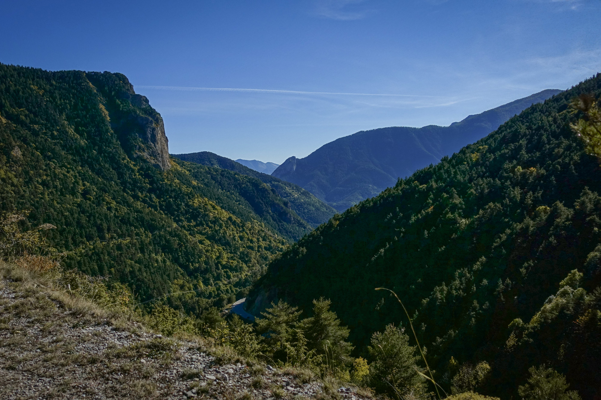
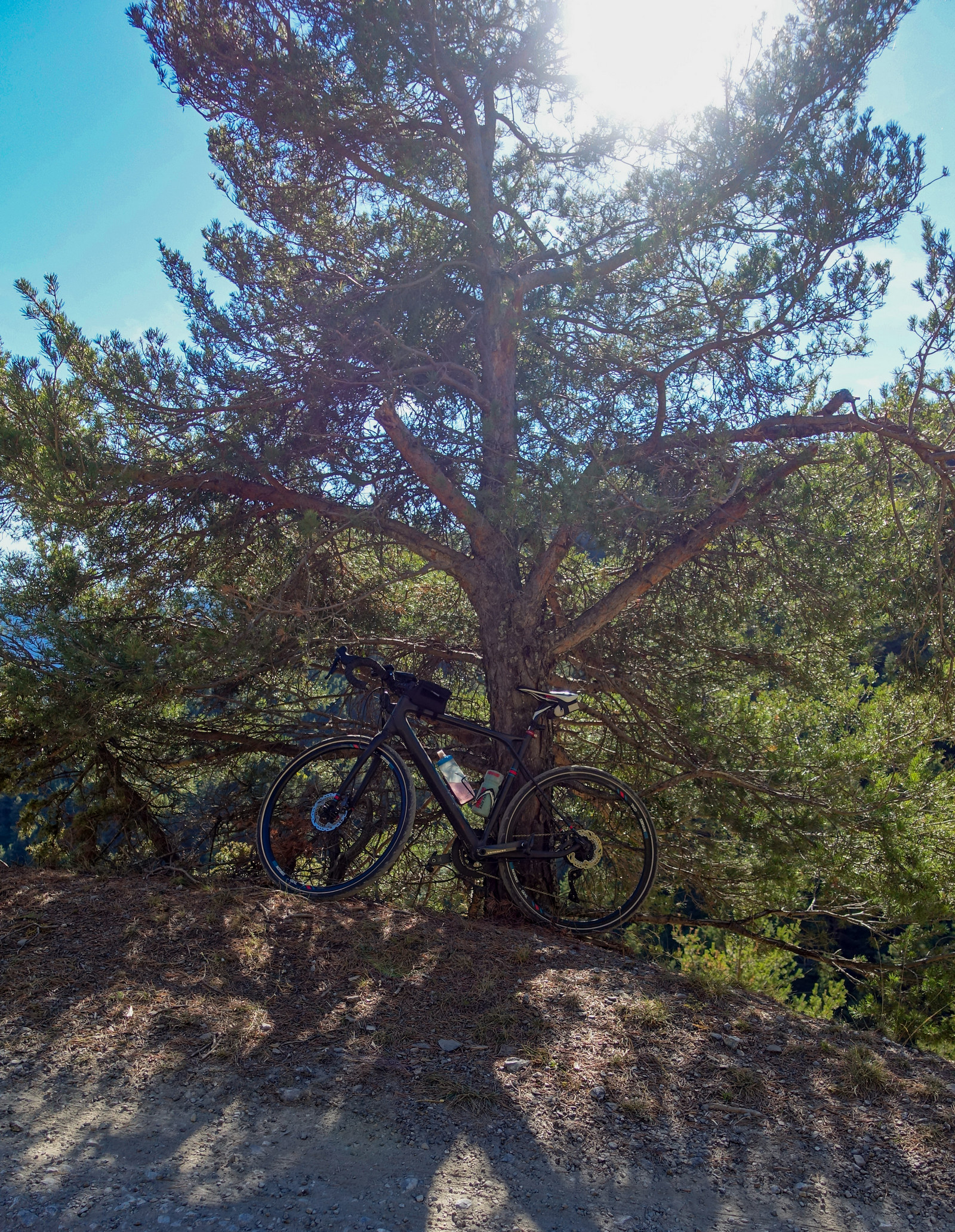
I found it really tough. The sun was on me nearly the whole time. I sought out the odd tree to try to get some shade.
One particular stretch was really steep; I walked up it. Struggling through gravel and large stones on a very uneven surface must add the equivalent of several extra virtual percent to the incline. I was gagging for more drink but I tried to ration it. I took pain killers to ward off the effects of the sun. Every time I came round another lacet, that bloody fort at the top still looked impossibly far away.
Rarely, a vehicle would pass me – no other cyclists though. I stopped frequently. I kept thinking about the recent failed opportunities; the lakes beyond Alpe d’Huez, and l’Authion beyond Col de Turini, and I was determined not to give up on this brutal climb. As the top approaches, the last few lacets sweep extremely wide – in fact the last three stretch over a mile and a half to the finish. A vehicle went by and minutes later I would see it, stirring the dust, seemingly miles away, still making its way slowly upwards.
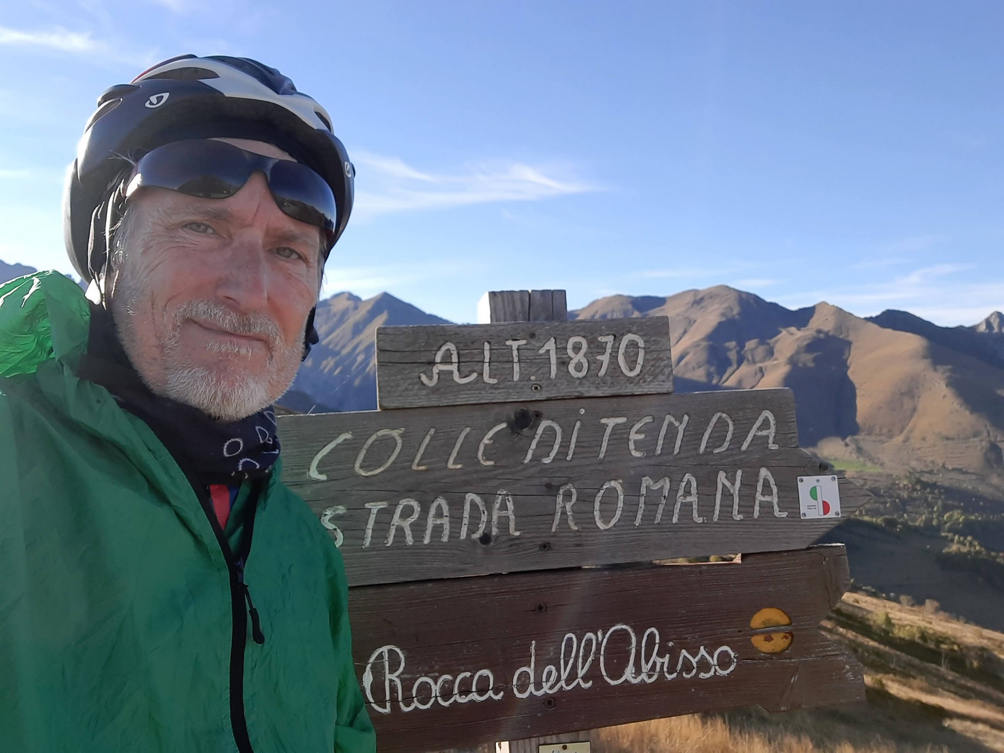
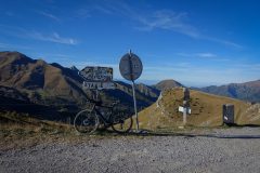
Eventually, I saw the road ahead turn to the right through a gap and I knew I had made it to the col.
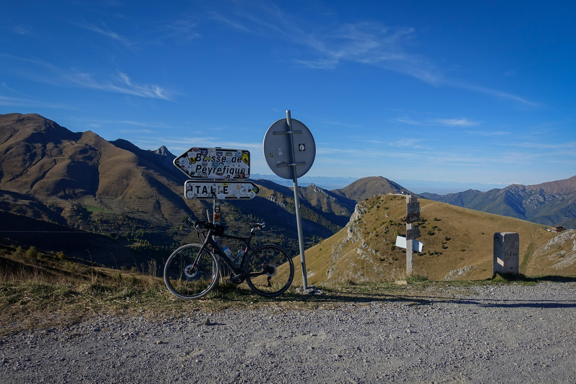
I had been getting low on juice for quite a while and had been rationing it on the climb. When I got to the top there was one other cyclist up there admiring the view and just about to descend to Italy, so I tried to ask him if he knew if there was any drinking water available there. I tried at first speaking French but his French was quite weak. I had to point to the drinks bottle in the end. In hindsight if he wasn’t French there was a good chance he was Italian, so I could have said aqua or agua or whatever it is.
Anyway he offered me some of his water – I gestured that I only needed a little bit but he poured the entire contents of his bidon into mine which was about three quarters of ice cold water. I thanked him profusely and drank about half of it in one go. He cycled off down the Italian side of the mountain.
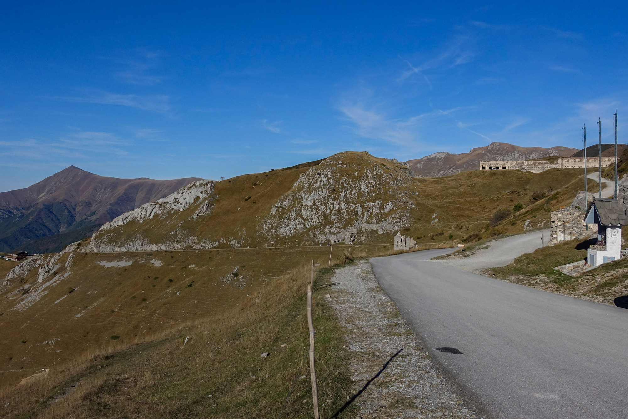
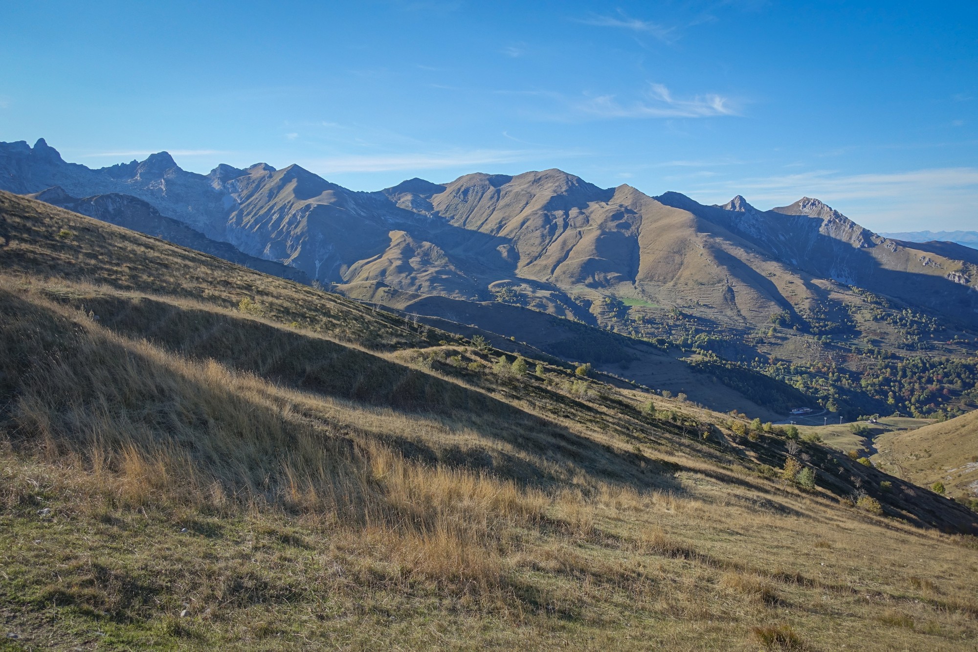
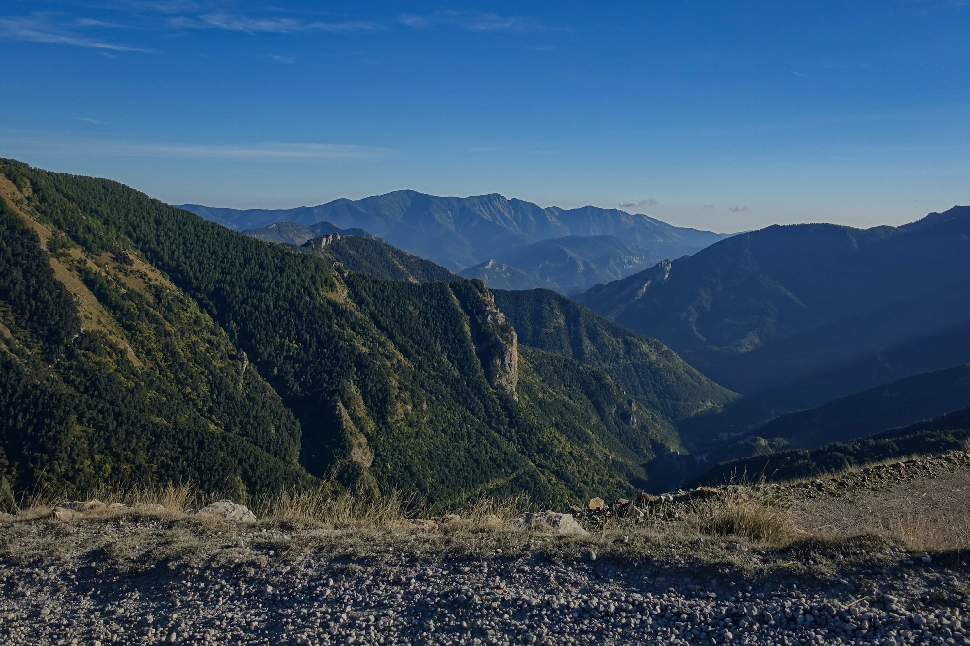
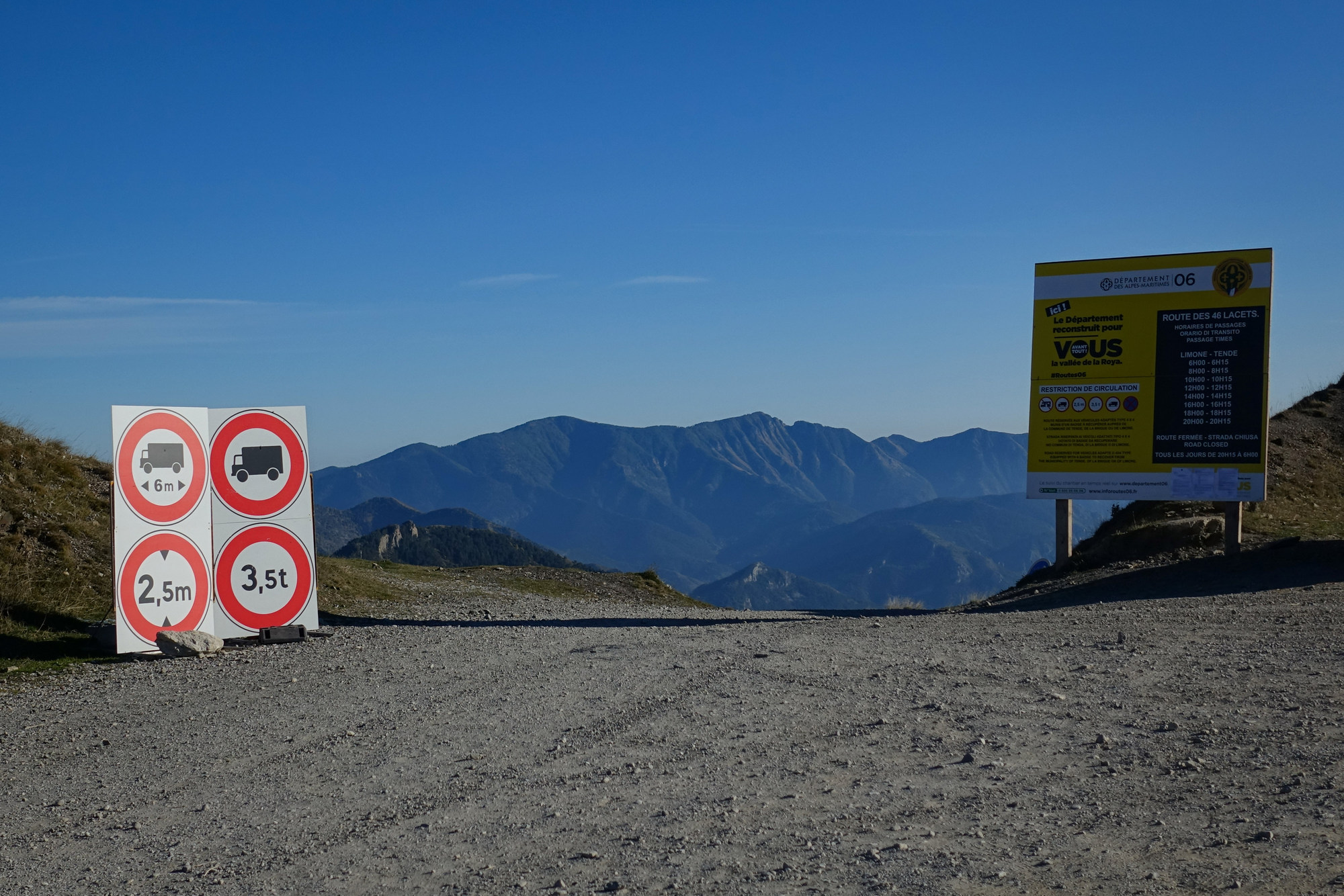
Needless to say I was in no mood to ride further up to see the military fort. I then went and sat down and tried to get myself together. I felt exhausted, and a bit sick. Eventually I pulled myself together and got all my gear on for the descent (arm warmers/snood/skull-cap/rain jacket), and clambered back onto my bike
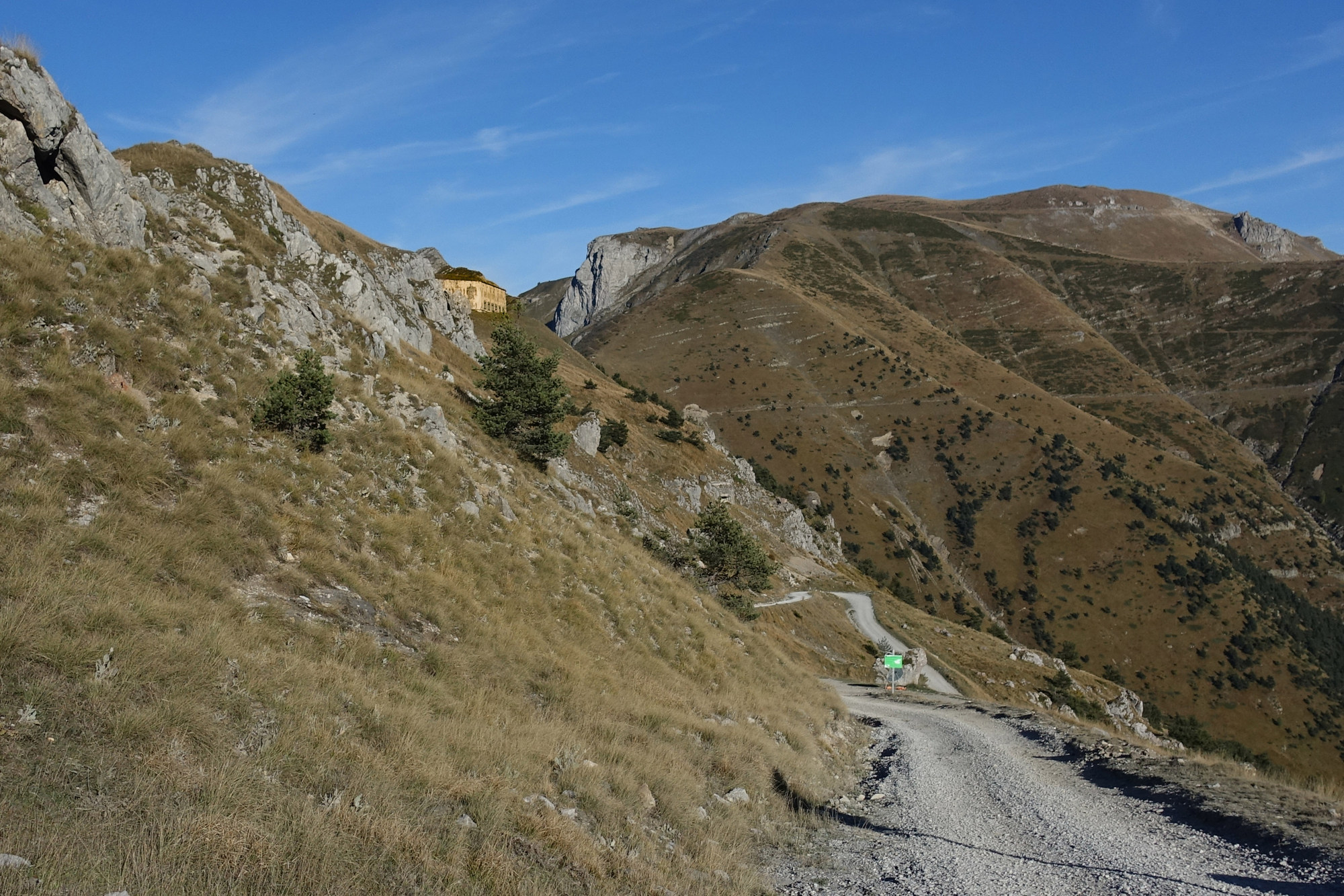
It was only when I rode the descent that the full impact of what I had achieved on the climb really hit me. It was so long and steep and uneven. The descent was almost as bad as the climb, hands on the brakes the whole time, thinking I would get cramp in my fingers. Also my neck hurt from sort of bracing myself on the bars. The surface rattled through the whole bike and me. I had double-vision on the more uneven sections. I periodically stopped to give my hands/wrists a rest.
When I finally reached the wide, fast and smooth tarmac back at the tunnel road, I almost got off my bike to kiss it!
The vast majority of the workforces had gone home, construction vehicles parked up for the night. But still the countdown traffic lights hindered my speed.
And there were still plenty of sections of unmade road to rattle me about.
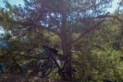
I must give credit to my bike, but more specifically to the tyres (Schwalbe Marathon Supreme), for being able to handle such a pounding, especially on the descent.
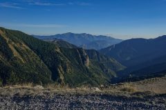
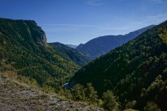
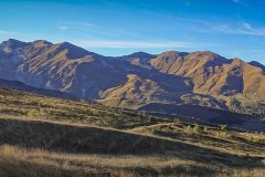
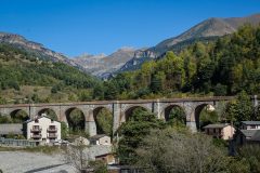
On the way back I realised for the first time what a spectacular gorge this really is. I think I had missed that on the first part of the ride because I’d been distracted by the chaos. The light was failing and I had my lights flashing. Once I reached the clearer sections of road I seemed to find a second wind and I averaged about 19mph over the 12 miles of the main road. And when it came to that 7% climb at the end for nearly a mile, I went up it with no problem whatsoever. It’s amazing how the human body can recover!
It’s a shame I didn’t get to wander around the ruins at the top of the Col de Tende. I can promise that I will never be climbing that side again, ever. However I wouldn’t rule out climbing the Italian side one day; after all, it is tarmacked – like all roads should be!
Fuel
Gallery
Click to enlarge / see slideshow















Well done Vince, quite an adventure. Great pictures.
Cheers Al
Bonjour Vince, un très beau reportage avec des photos incroyables ! C’est vrai que la Tempête Alex a dévasté de nombreuses routes, ponts et bâtiments, j’ai pu le voir en été 2022 à Saint-Martin-Vésubie, il y avait des travaux et je pense qu’ils vont durer pour encore au moins 5 ans ! Bravo pour cette ascension du Col de Tende, les cols muletiers sont toujours durs ! J’avais parlé un peu de cette petite route entre Tende et le tunnel sur mon site… grâce à ton témoignage et ta photo, je vais préciser qu’elle n’est pas du tout utilisable et je pense aussi qu’elle le sera pour un très long moment, voir abandonnée !
Bonjour Joris. Merci pour vos commentaires, comme toujours. Ce serait dommage que la petite route soit abandonnée.
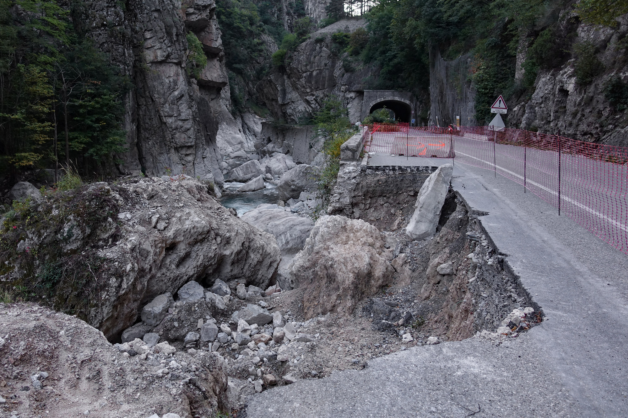
J’ai prévu une autre balade à vélo pour me rendre au Col de Tende via la Baisse de Peyrefique. J’espère que ce ne sera pas aussi dur que les 48 lacets !
Super Vince ! De plus, l’accès vers Casterino est désormais ouvert depuis cette année car la route a été détruite par la tempête Alex ! Donc tu pourras rejoindre plus sereinement la Baisse de Peïrefique puis le Col de Tende. Depuis St-Dalmas de Tende, il y aura au moins 29 km / 1200 m de D+, ce sera un peu dur aussi !
Merci Joris. Je ne savais pas que la route de Casterino avait été fermée. C’est une chance que je n’ai pas essayé cette route l’année dernière. J’espère l’essayer en septembre.
Si je le fais, je vais écrire à ce sujet ici.
Hello Vince, je vais réaliser le profil pour voir ce que ça donne, je te tiens au courant…
Merci Joris. Selon mes calculs, en utilisant ridewithgps, c’est moins raide que les 48 lacets. Je serais intéressé de voir ce que vous en pensez.
Bonjour Vince, je t’ai envoyé un profil sur ton mail personnel…