Distance: 48.4 miles. Elevation: 4715 ft.
Col de Montgenèvre | Le Mauvais Pas | Col de l'Echelle
I planned this route as a loop in and out of Italy. There are not many places you can do that on a relatively short ride. Another similar one I did was my Col de Brouis ride, and that one only featured three miles of Italian roads before returning!
This blog is just a series of reports done at various points of the ride. I left at 12:20.
This report coming from Col de Montgenèvre: The air is fairly cool, but I’m in short sleeves. It’s mainly sunny but there are clouds around. I made my own way through Briançon until it joined the route I had on my Wahoo. Being a main road between France and Italy, it was fairly busy and with hardly anywhere to stop for photos. I was hoping I might be lucky having timed it to be lunch time, so there might be less traffic.
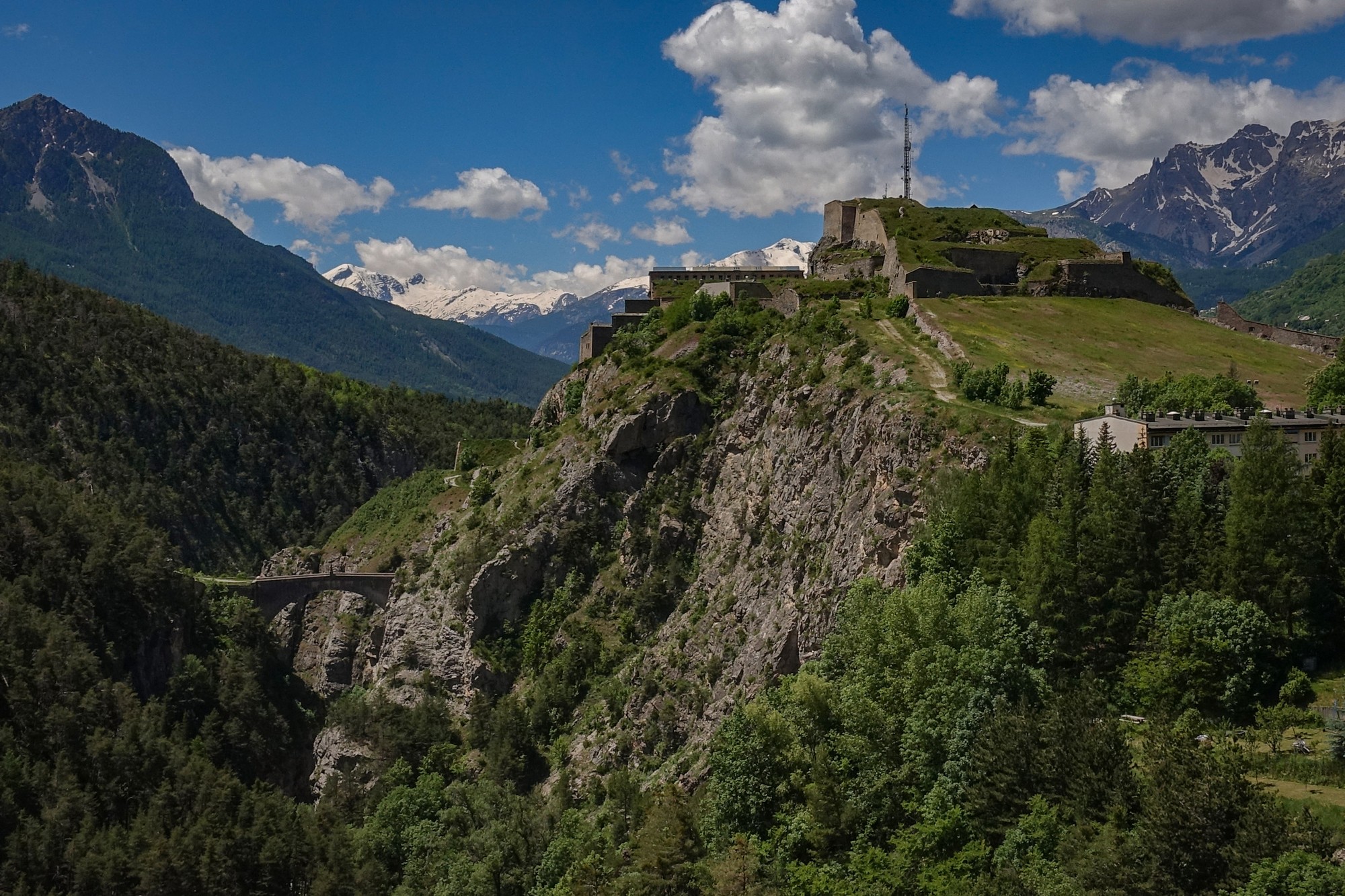
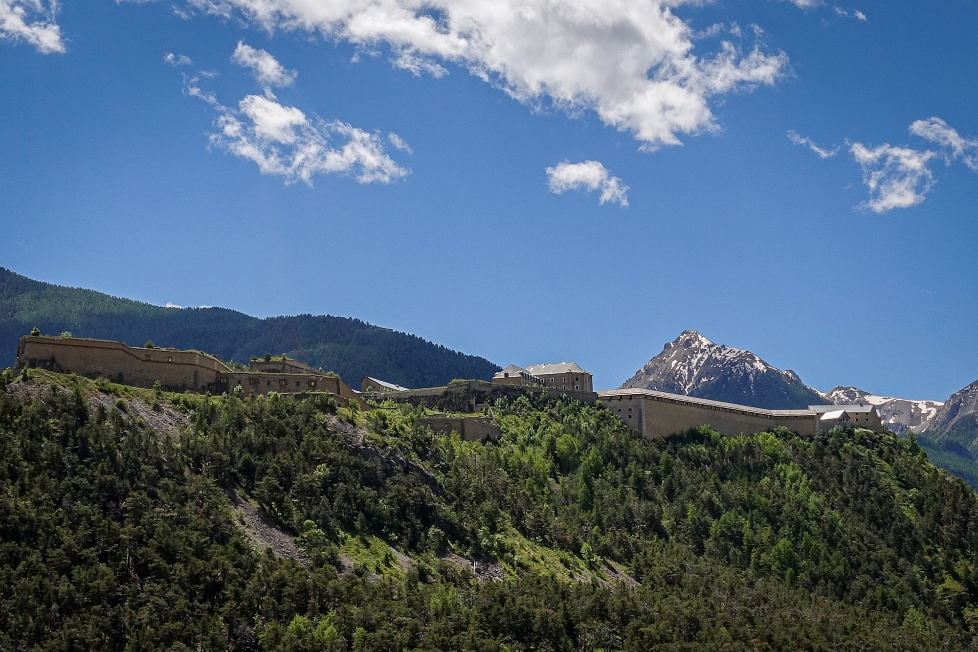
Several lorries went by but not an unbearable amount. It’s not been that steep a climb, and I’ve been in first and second gear on my Colnago.
The road surface has been mostly excellent with just a couple of patches of broken up cracked tarmac. At one point I saw a roadworks sign and didn’t think anymore of it. Just beyond that I could smell cellulose paint, and then I noticed that the white lines on the road looked new and I’d cycled over one and saw white paint on my tyres. I was really hoping that no paint had splashed up under the frame because cellulose paint would be almost impossible to get rid of. (Luckily it hadn’t)
I took one energy gel somewhere near the bottom and I’ve just come up here at a steady rate and the temperature has been fine. The air has got cooler towards the top and a strong headwind for the last section wasn’t that pleasant. There’s a long, straight, steepish drag into the town and to the col sign.
I’m sitting here by the col sign and five Italians turned up on their mopeds and asked me to take a photo of them all, lined up next to the sign. That seems so Italian.
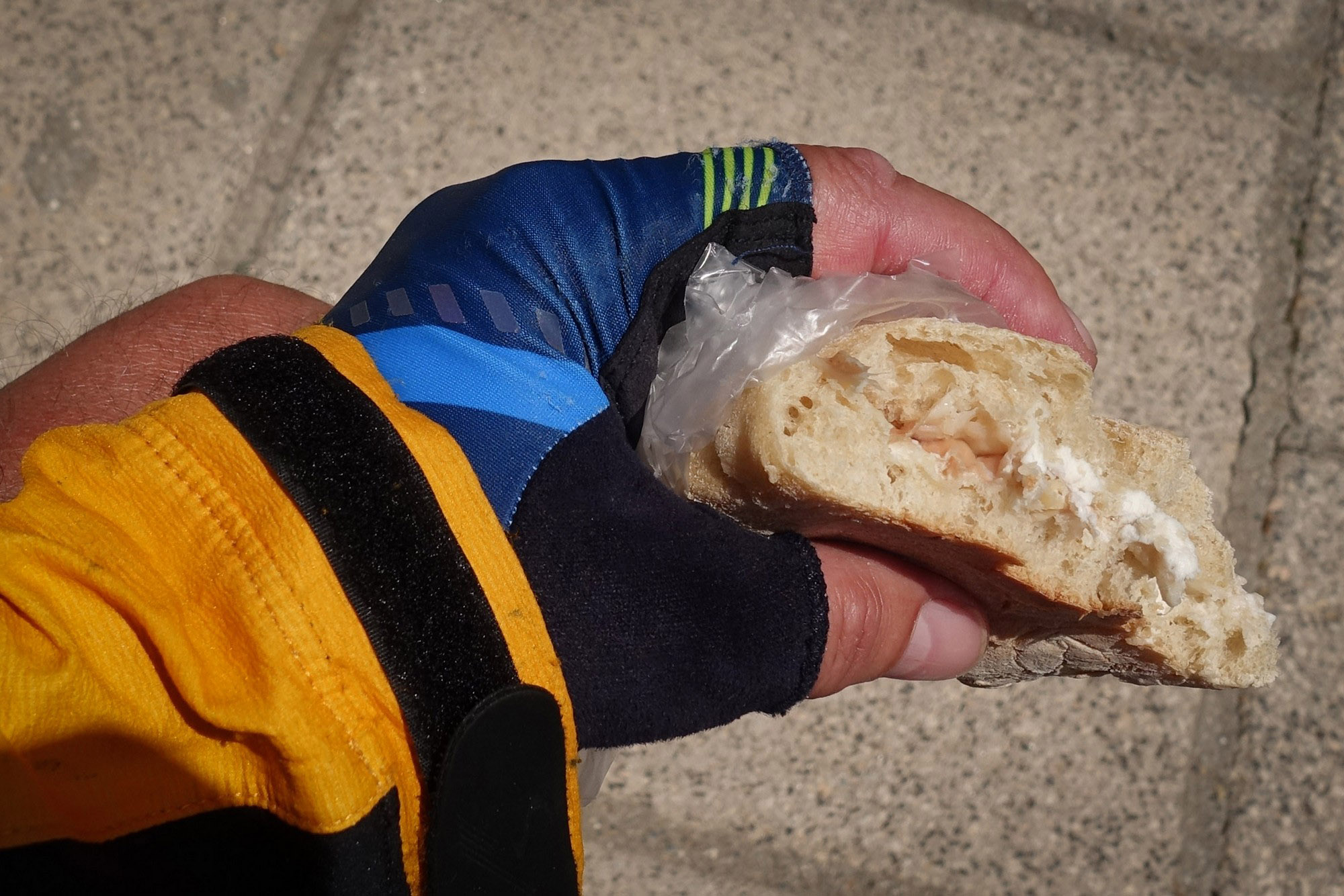
I’ve just eaten half my ham and goat cheese sandwich and half my pain aux raisins.
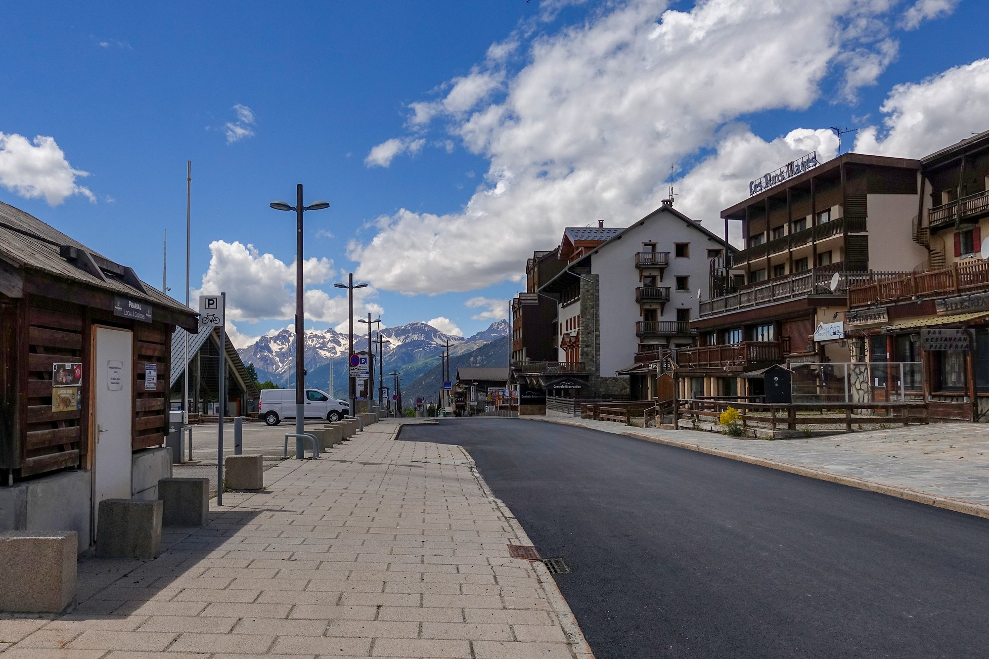
Montgenèvre is not that attractive a place. It’s basically a ski town out of season. There’s no one around except people cutting the grass and keeping it manicured further up the hillside next to me. I heard some marmots screeching just a minute ago somewhere up the hill.
Midway up to here I suddenly wondered if the other col is actually open because that could be a big problem if it isn’t.
Just as I was writing that, a cyclist turned up and I asked him if he was doing the circular loop and he said he was and he confirmed that the other col is open, so that’s another weight off my mind. He also said it’s a beautiful road.
This report coming (ninety minutes later) from a bus stop because I’ve stopped to shelter from the rain.
The other cyclist had said it’s a pretty route. Well it hasn’t been up until now.
About a mile from the col came the Italian border, and then the village of Claviere.
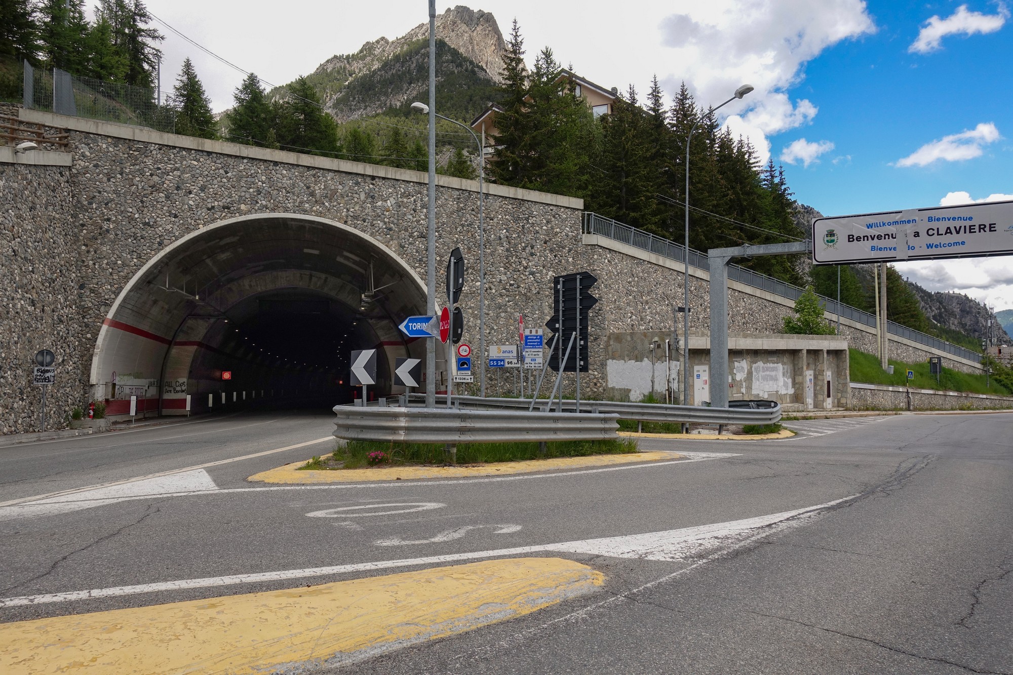
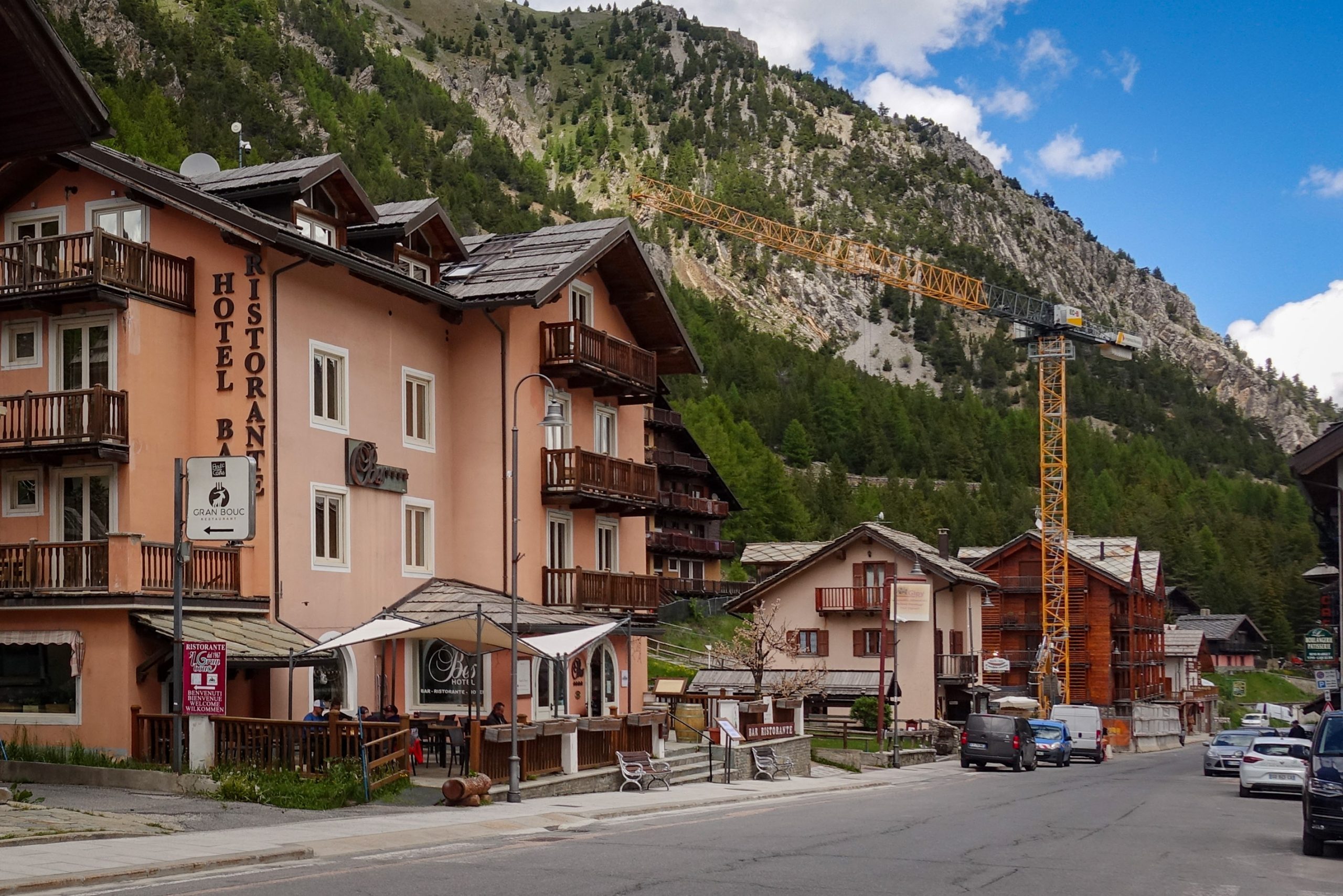
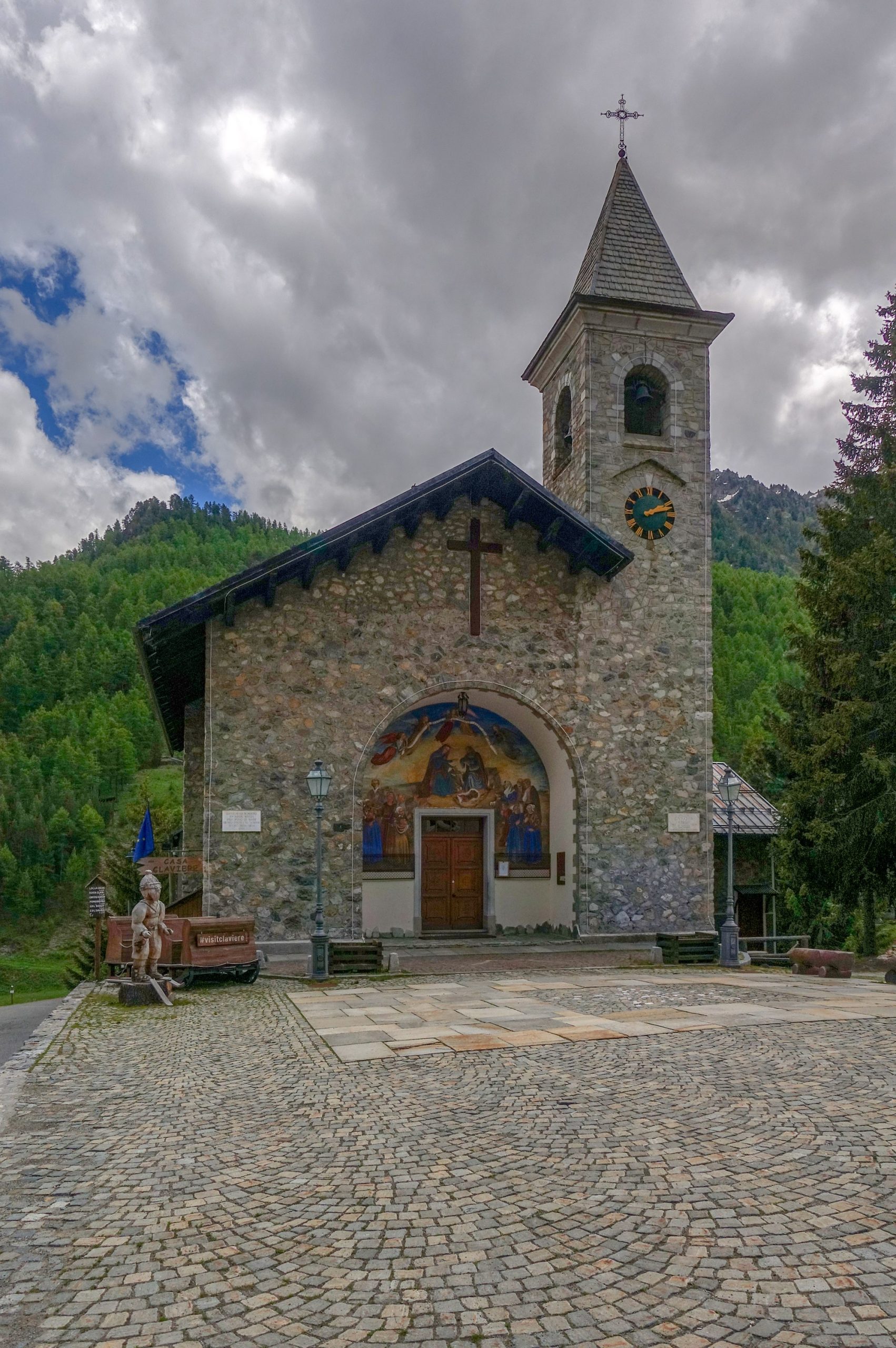
Just through Claviere, the bypass tunnel re-emerges on the left before the main road soon enters another tunnel, the Cesana Tunnel (completed 2014), also prohibited to cyclists.
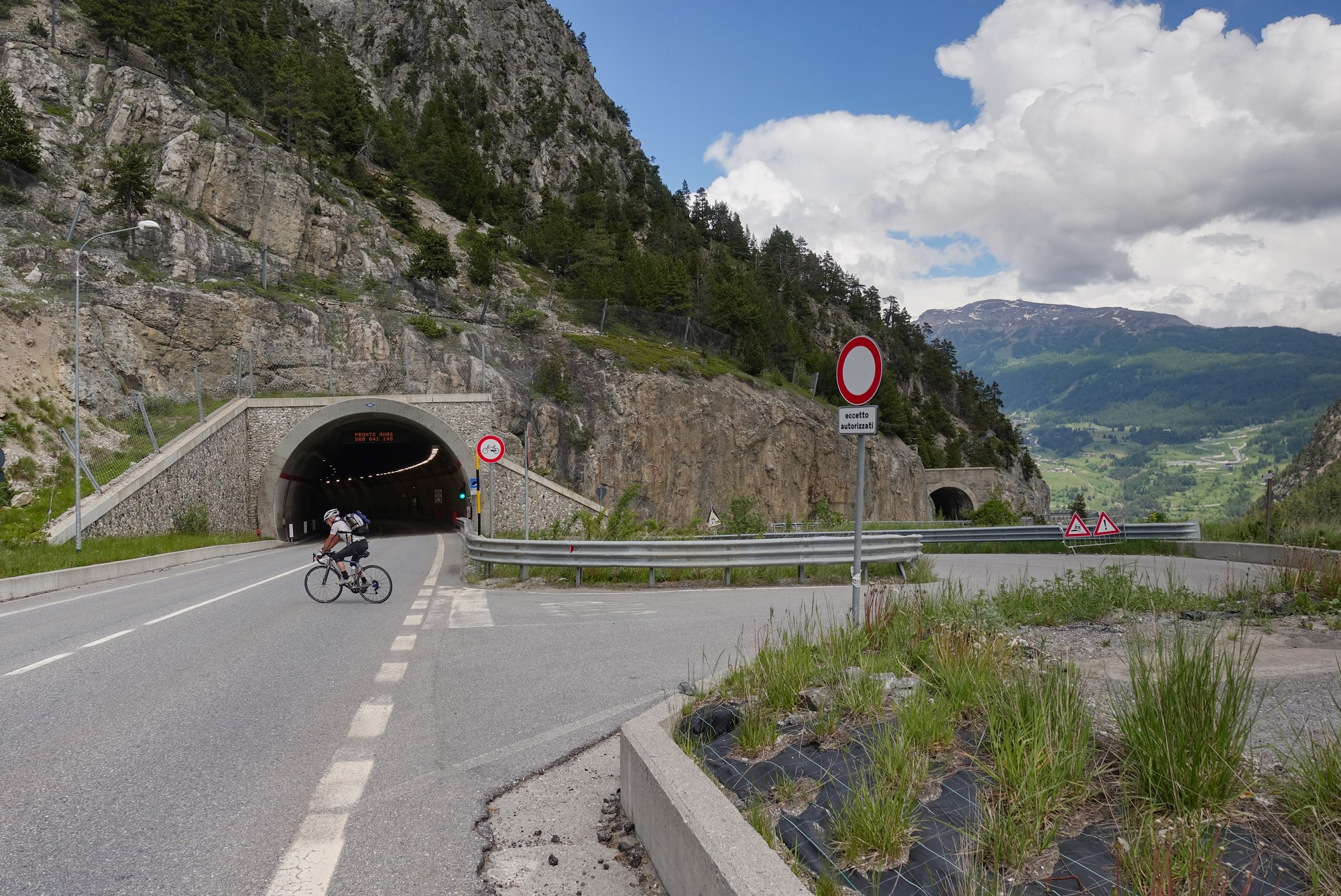
And that’s good because us cyclists get to have the old galleried road all to ourselves. There are wonderful views down into the Gorge di San Gervasio, although somewhat obscured by the substantial and high steel safety barrier along the edge.
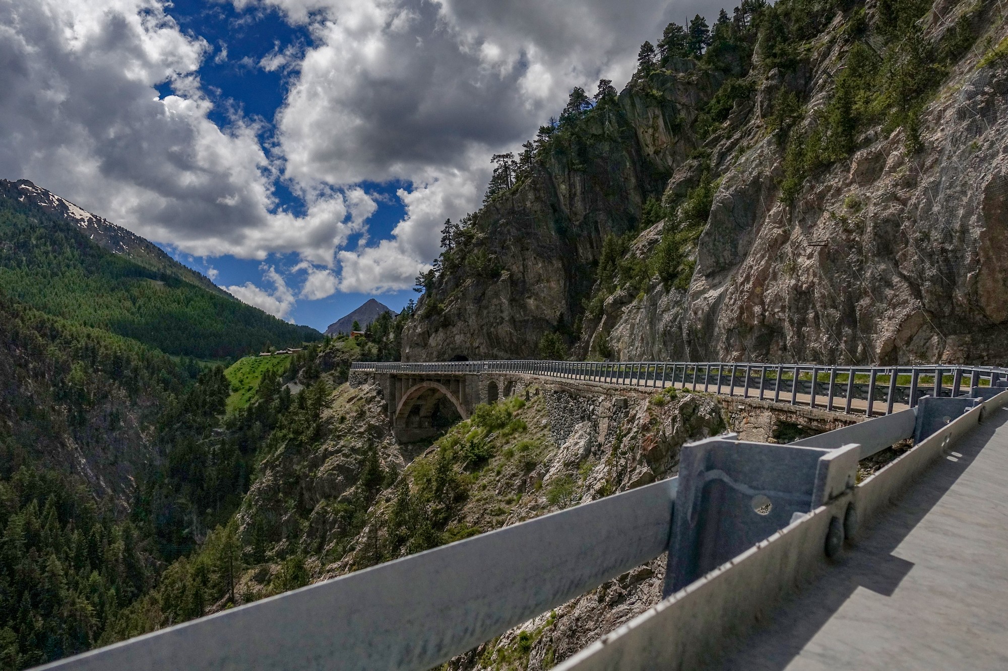
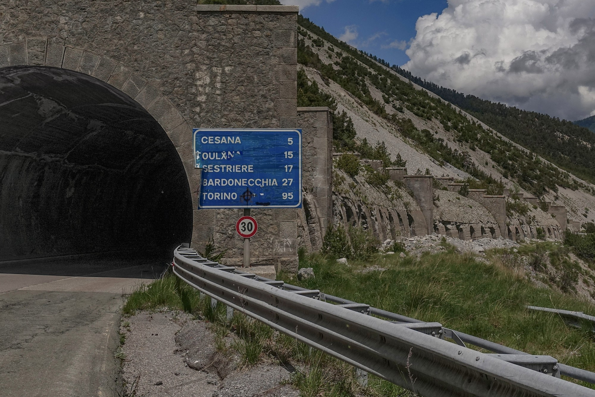
[The road surface on the old road seemed quite good, but the Tour de France 2024, stage 4, used the new tunnel instead of this road.]
That bit of fun only lasted just over a mile before the road joined the rest of the traffic exiting from the new tunnel. Then it was like a main road all the way down. But the very strong and gusty headwind was not very nice at all and took away any chance of enjoyment. Also the right-hand edge of the road was in poor condition which, combined with Italian drivers’ propensity for close passing cyclists, made that section a bit hairy.
Half an hour later I’d reached the town of Oulx
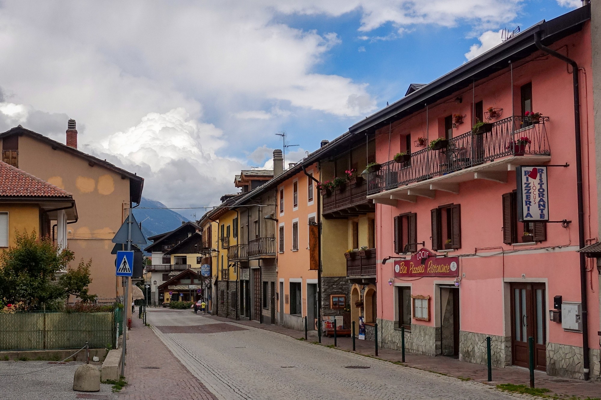
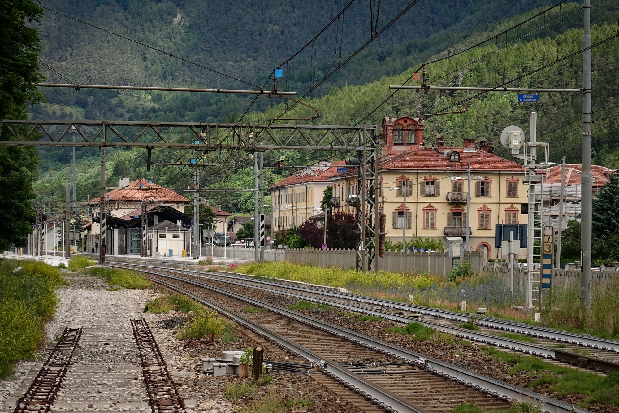
Through Oulx my route turned NW, after which the road I was on ran parallel to the busy E70 road heading towards the Fréjus tunnel, a main route between Italy and France.
Often in eyeshot and earshot of the elevated E70, and with lots of building work going along the road I was on, it wasn’t that pleasant. But that also had something to do with the dullness of the day and that I kept feeling spots of rain, but I didn’t want to put my rain jacket on because it’s too warm.
Through the next major town of Bardonecchia, my route turned to the SW, away from the motorway, and now the rain has become more continuous, so I’ve stopped at this bus shelter for a break.
I’ve just finished my sandwich and it looks like it’s hardly raining now so I’m off again.
When I set off from the bus stop it wasn’t really raining. Then there were a few spots then it stopped again.
At first I couldn’t see where the gap in the mountains would be for the col. Then as the road progressed I could see a valley ahead, and that was the only candidate as far as I could see.
The road entered forest and began to climb more steeply. There was rain in the air the whole time, to a greater or lesser extent. The road passed a dam. I got a few shots but was reluctant to get the camera out in the rain.
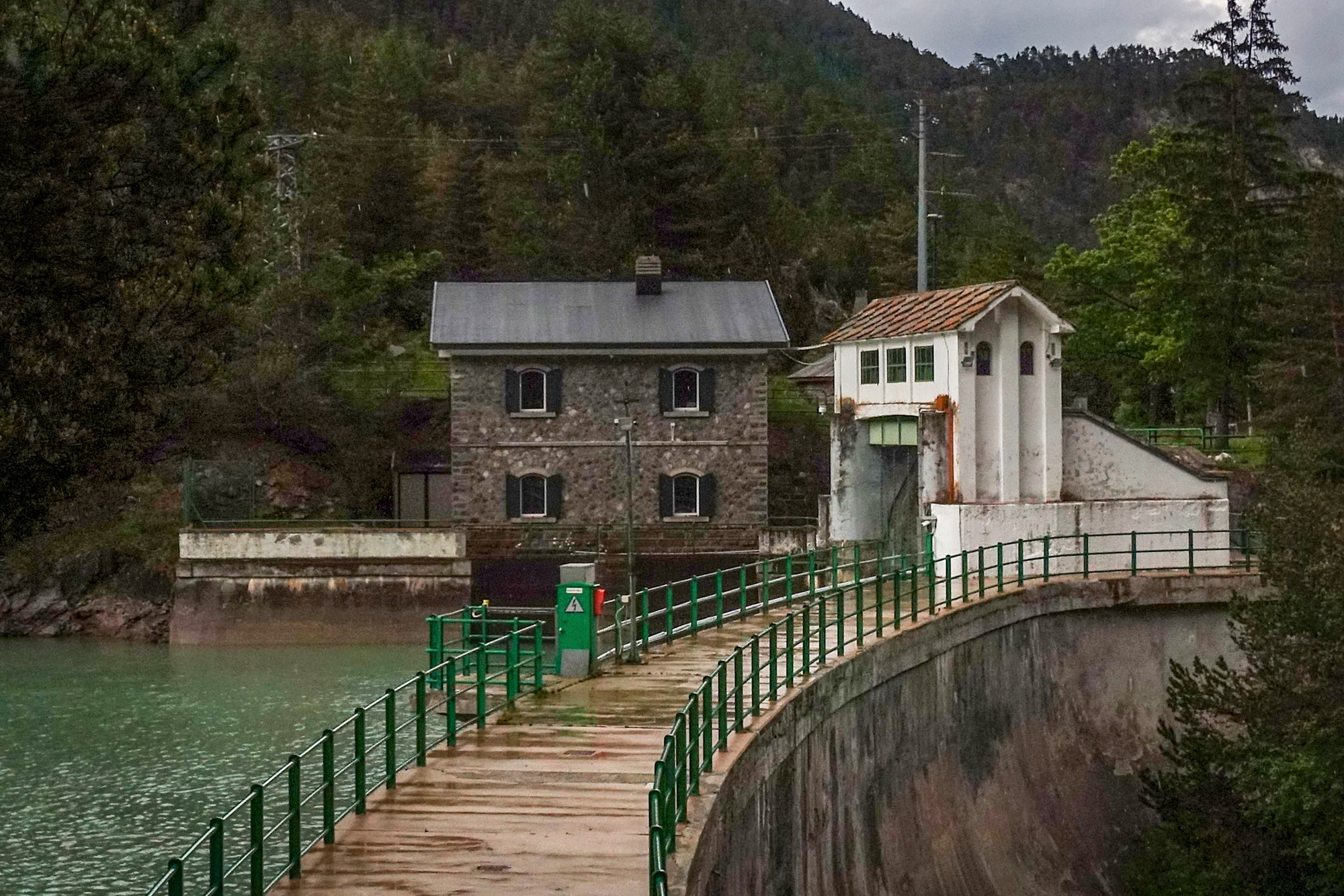
Just after that I saw a stone sign at the roadside with just an “F” on it and “1947”. I wondered if this was reference to a change of borders after the war. Just after that I saw a sign confirming I was back in France.
The road then switched back to the left. I assumed it was just climbing higher up the side of the mountain but still following the valley
But when the road went a long way back on itself I started having doubts about its ultimate direction and wondered if it was just going to scale the side of the mountain and go straight over the top. And that is essentially what it did, via another 6 switchbacks, sometimes offering spectacular (though grey and rainy) views.
On a sunny day I would have been stopping a lot, but I didn’t want to get my camera out too much and I wanted to press on because of the weather. I was wet, rain dripping off my helmet, Wahoo covered in rain, my camera bag had its rain-cover on, but my feet were still dry.
Then there were a couple of tunnels I’d seen coming up on the Wahoo. I didn’t even stop to photograph them! That’s very unusual for me. The gradient eased after that and the road turned over the top. It reached a high point that I assumed was Col de l’Échelle, although there was no col sign. [After the ride I discovered it was Le Mauvais Pas]. I stopped under a tree to put my rain jacket on, but was still getting dripped on. Another cyclist (the only other person I had seen on the whole climb) went by in the opposite direction, wet like me. We exchanged sympathetic nods.
The road descended slightly but then stayed fairly level as if it were on a plateau across the top of the mountains. In fact it was a beautiful stretch of road, but I was more concerned with avoiding the wetter parts of the surface, to prevent my wheels splashing it up all over me, mainly behind me, and my feet.
That led to Col de l’Échelle. I got some photos, being careful how I handled the camera because of my wet hands. (I later found some photos had a blur in one position caused by a rain drop on the lens).
I think it was just after that when the rain eased off, but the roads were so wet I was getting soaked from the splashes even though I tempered my speed to mitigate that. Despite being wet and cold I could appreciate that this was a beautiful road. Now I knew what the other cyclist had meant.
The road descends more steeply from the Col de l’Échelle, through forest and then the view opens out over the valley of La Clarée river. Eventually it joins the valley road, where I turned left. Now the road follows La Clarée, rushing strongly and noisily with grey water.
And the road drops at just the right gradient where you can let go of the brakes.
On this section I warmed up a bit and I think I even started to dry out a bit. I began to enjoy it more and more. But I kept thinking what a totally amazing descent this would be down from that col on a warm, dry day. It goes through several old characterful villages.
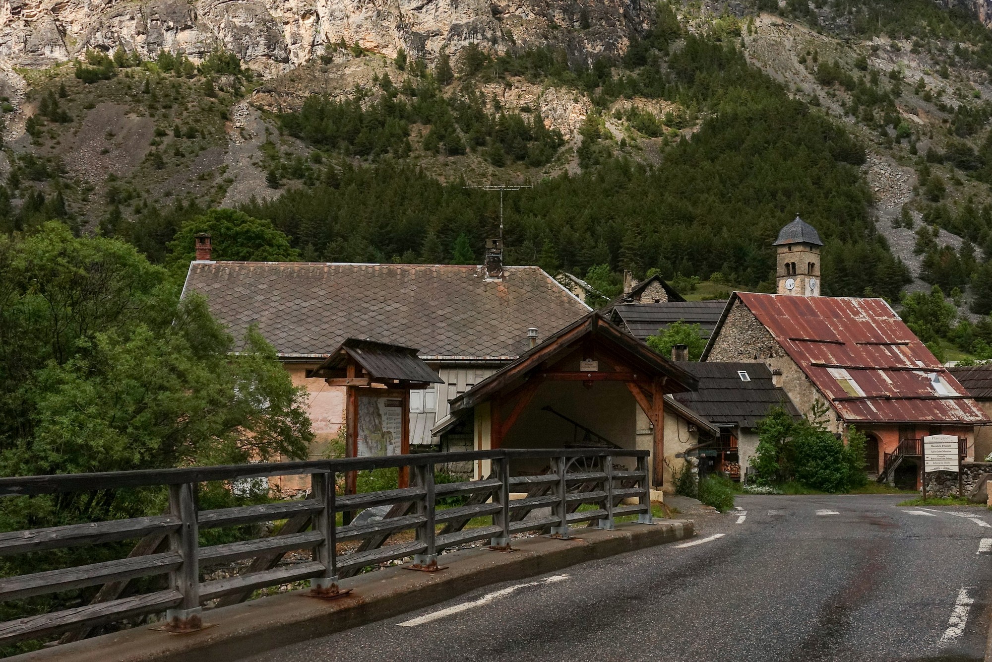
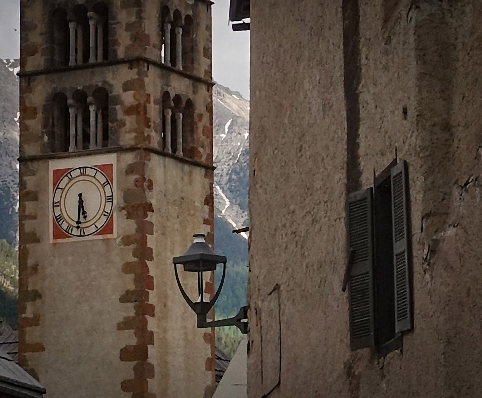
The road continues to descend almost imperceptably on a mainly good surface, with long straight stretches – you could really bomb down there on a nice day.
At one point I noticed the road surface I was on was bone dry.
So I could no longer blame the weather forecaster for getting it wrong. Looks like it had stayed dry in and around Briançon. I should have checked the forecast for the other side of the mountains before leaving!
Eventually the fun comes to an end as the road reaches Vachette and joins the main road I was on earlier, back into Briançon. Again, that’s a nice road but with nowhere to stop to appreciate the views. And there’s traffic.
So I got back feeling a lot better than I had expected to, given the miserable bit in the middle. The earlier strong winds and particulalry the rain had ruined what could have been an exceptional ride. Having said that, it could have been a lot worse – I could have got drenched like I had descending from Col du Sabot.
Col de Montgenèvre is rather utilitarian and boring. The gallery and old road are excellent with the massive views over the Gorge di San Gervasio. The road descending to Italy is busy, and Italian drivers pass much closer than the French, and I didn’t see any instance of a driver indicating, at all.
The Italy section doesn’t get interesting until after Melezet, just before the quiet climb to Col de l’Echelle. And that climb would no doubt be marvellous on a sunny day. And the road from Col de l’Échelle back to Briançon looked like it would be lovely on a brighter day.
Further reading
Col de Montgenèvre – wikipedia (inc. Tour de France data)
Gallery
Click to enlarge / see slideshow




Thanks once again for letting us come along on your adventure Vince!. I see that Mont Cenis is on your “to do ” list, and being so close perhaps you’re headed that way. Be sure to check out Wil’s excellent suggestions here https://www.cycling-challenge.com/lac-du-mont-cenis-a-detailed-look/ if you haven’t already. The paved road up from Moncenisio is a wonderful ride as is the short detour to the petit col de mont cenis.
Cheers
Martin
Thanks for your comment Martin, and thanks for your recommendations and the link. I’ll definitely be checking out those rides at some point.
Cheers
Vince