
Distance: 23.2 miles. Elevation: 3342 ft.
Col de Valberg | Col de l'Espaul | Col du Quartier
I wasn’t expecting to go out today because of the weather forecast, but when I saw some blue sky I thought I’d do a short one. I’m staying in Guillaumes, at the foot of two routes up to the ski resort of Valberg. I’ve already climbed the steeper one on a beautiful October day three years ago, when the Valberg climb had been totally eclipsed by the spectacularity (yes, that is a word) of the approach via Gorges de Daluis.
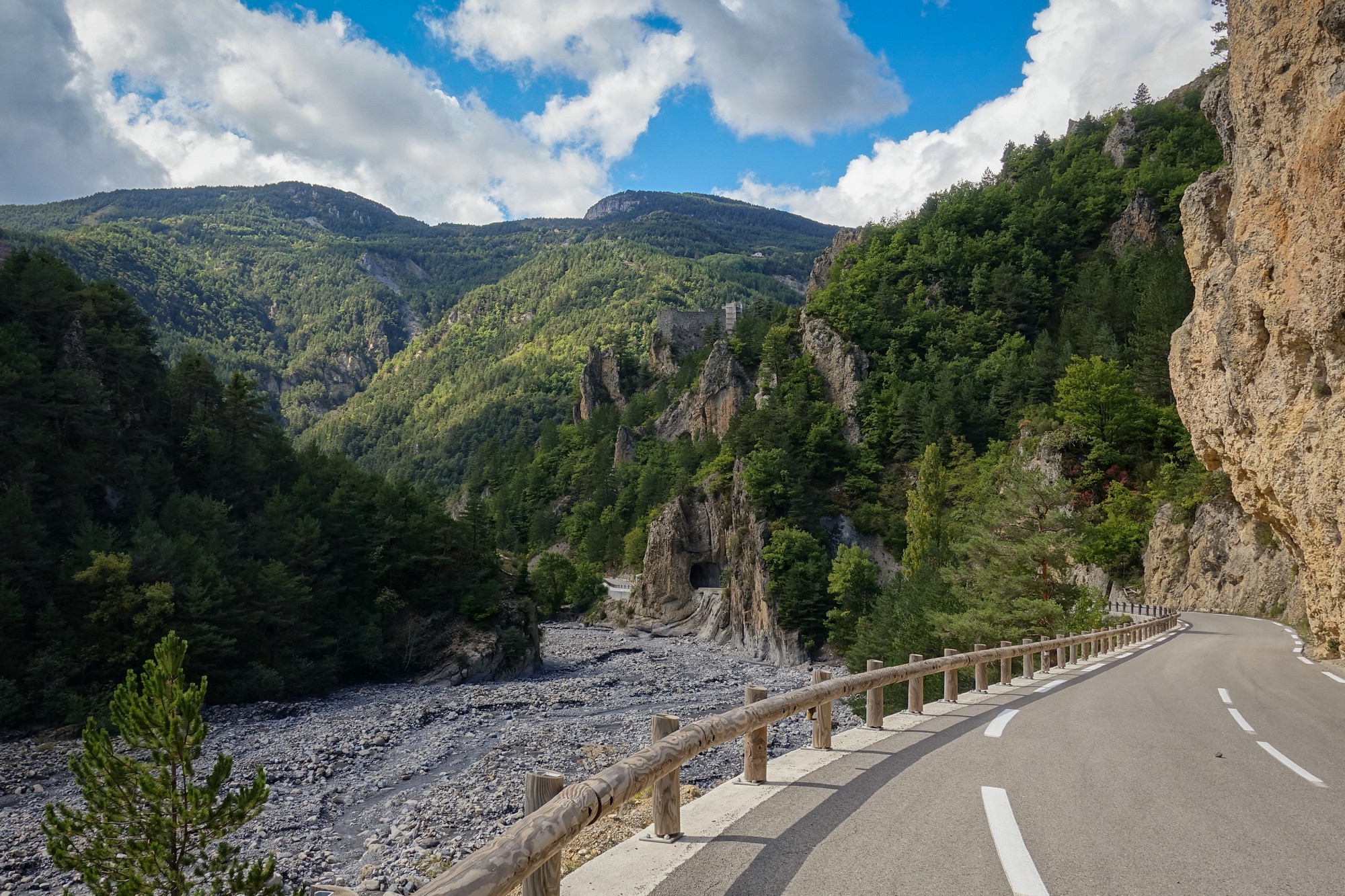
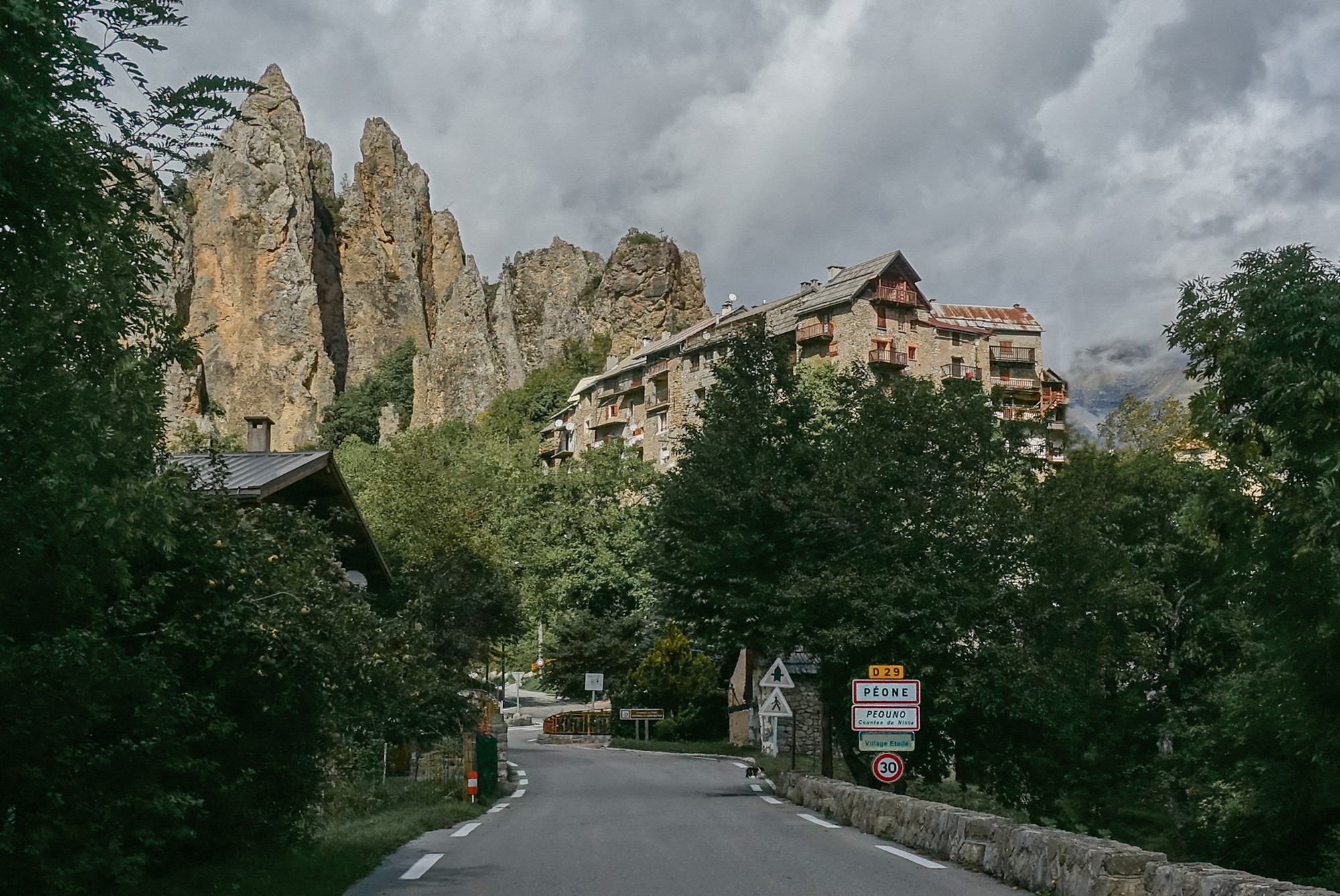
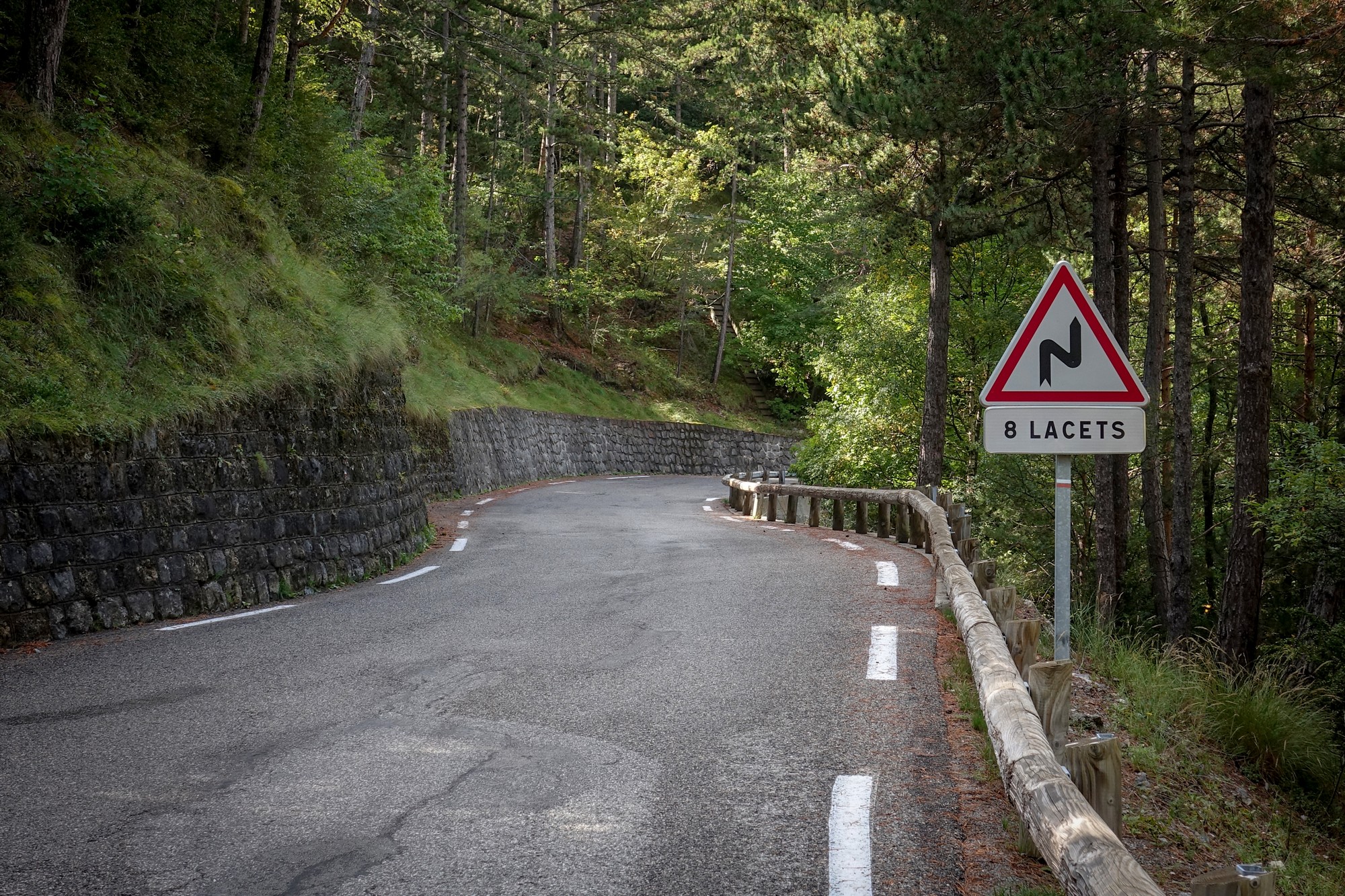
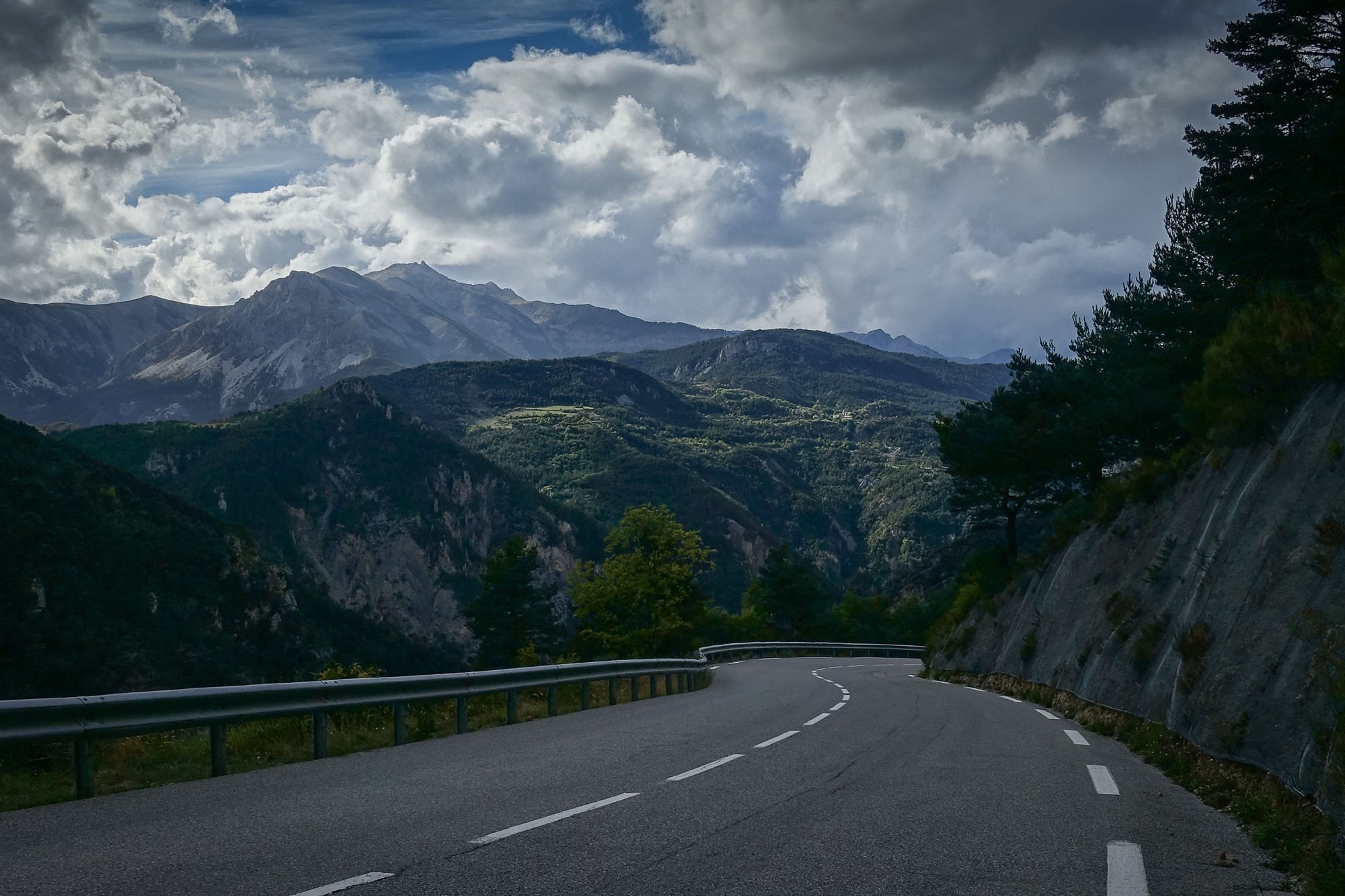
Today I took the easier, more northerly, route up to Valberg. This road follows the Vallon de Tuébi for four miles up to the village of Péone, then turns east and tracks le Vallon d’Aigue Blanche for a mile before giving up on the help afforded by rivers altogether, climbing straight up the side of the mountain via two miles of easy switchbacks to the high pastures around Les Amignons, from where it’s another couple of miles to Valberg.
I wore a base layer and shorts. Arm warmers, snood and rain jacket were available for later. I tried to keep a good pace. The air was cold again – I was grateful for any sunny bits.
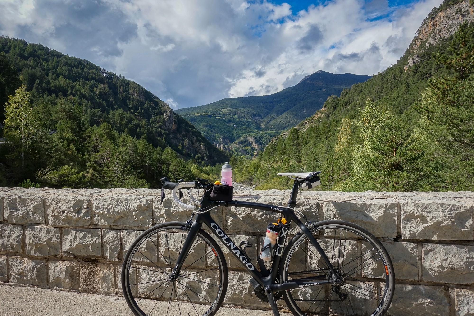
I stopped at the pont d’Aygue Blanche (Google translates this as white seaweed !?). I had an energy gel and put my arm warmers on. It was still cold but not enough for my jacket yet.

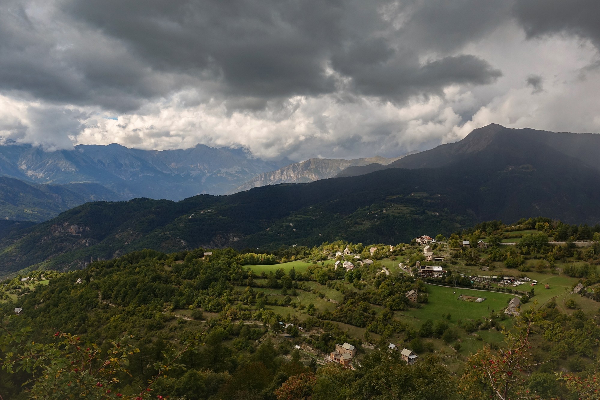
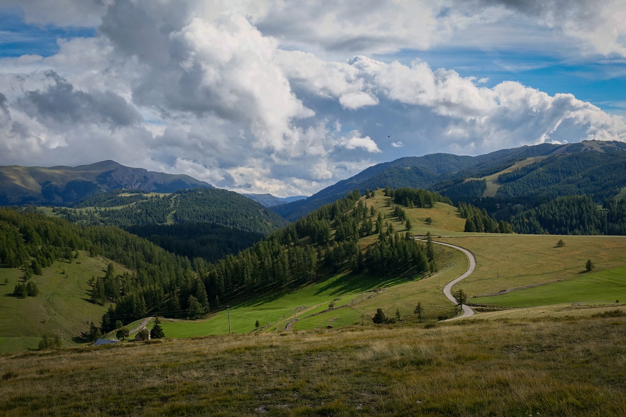
When I reached Valberg there were thick rain clouds over the mountain tops. I toyed with the idea of going straight back down. But in keeping with my recent trend to see things through to the end, I carried on towards Col de l’Espaul. Straight through Valberg without stopping, the road climbed out of town with lovely views to the south over mountain pastures, past the golf club (yep, don’t even go there…) until the road turned to gravel. There was a car park there for walkers. There was no col sign but it says Col de l’Espaul on the map. Good enough for me!

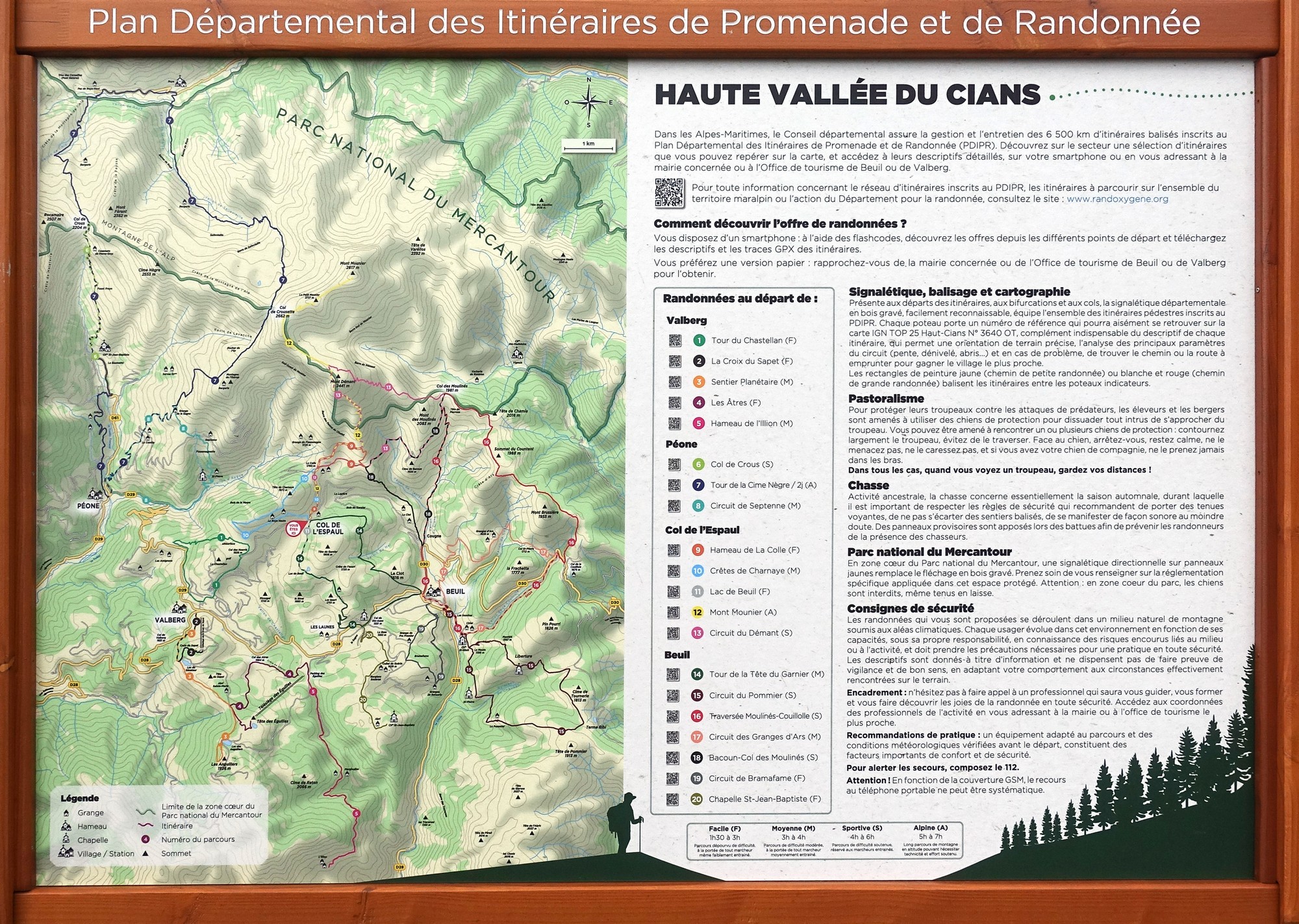
There was lots of info for ramblers, etc
I had a croissant with creme patissiere that I’d carried in my jersey pocket. Because of the lower atmospheric pressure at this altitude the sealed bag it was in looked ready to explode before I popped it open. I didn’t hang about there for long because of the threatening skies.


I rode back down through Valberg and then out of town to the south. I descended past the col sign using the same route I had three years ago.

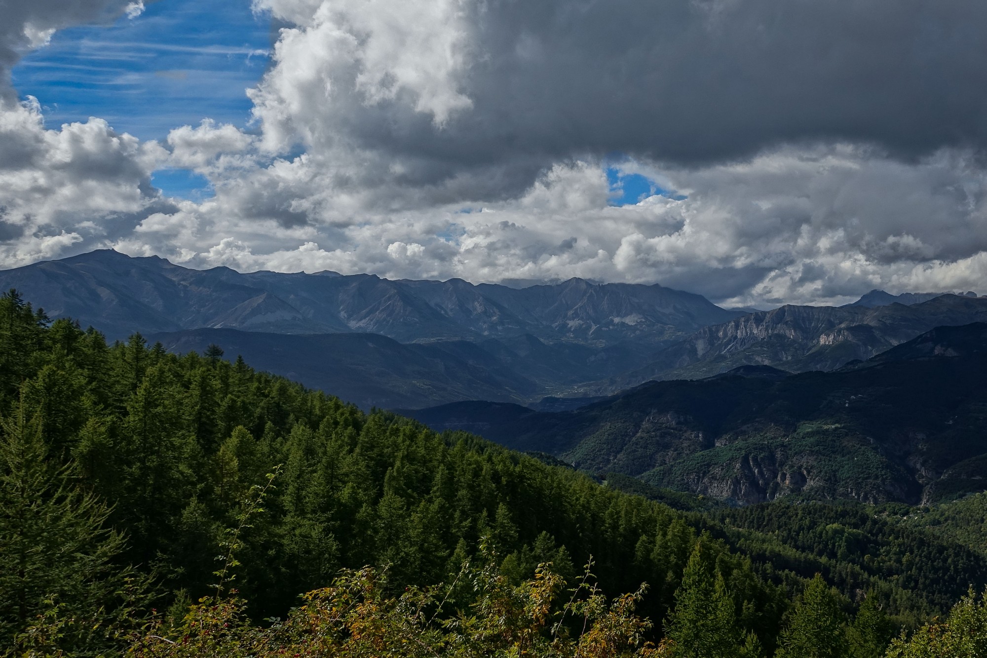

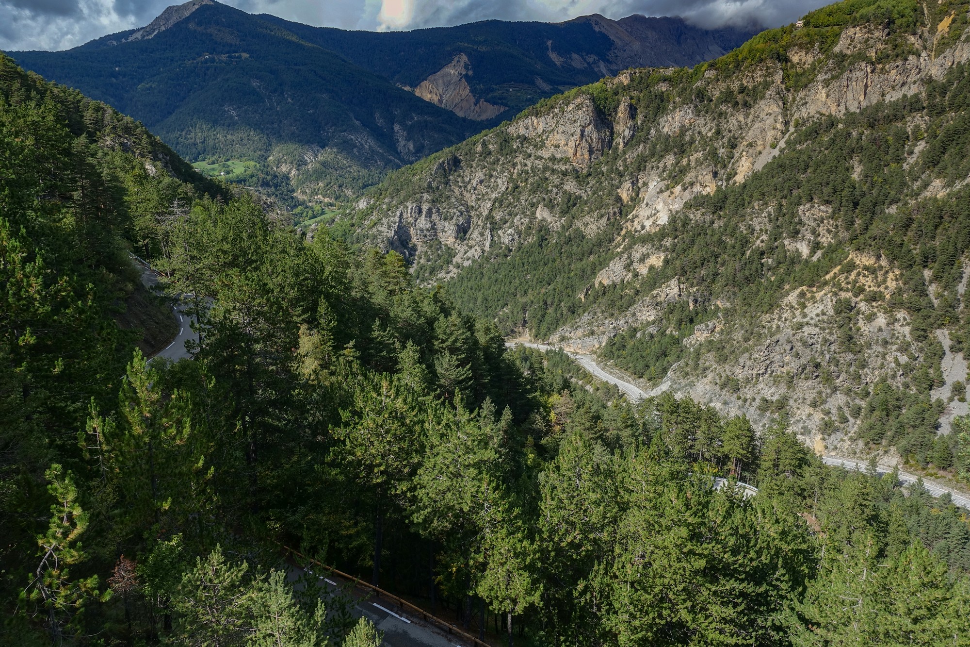
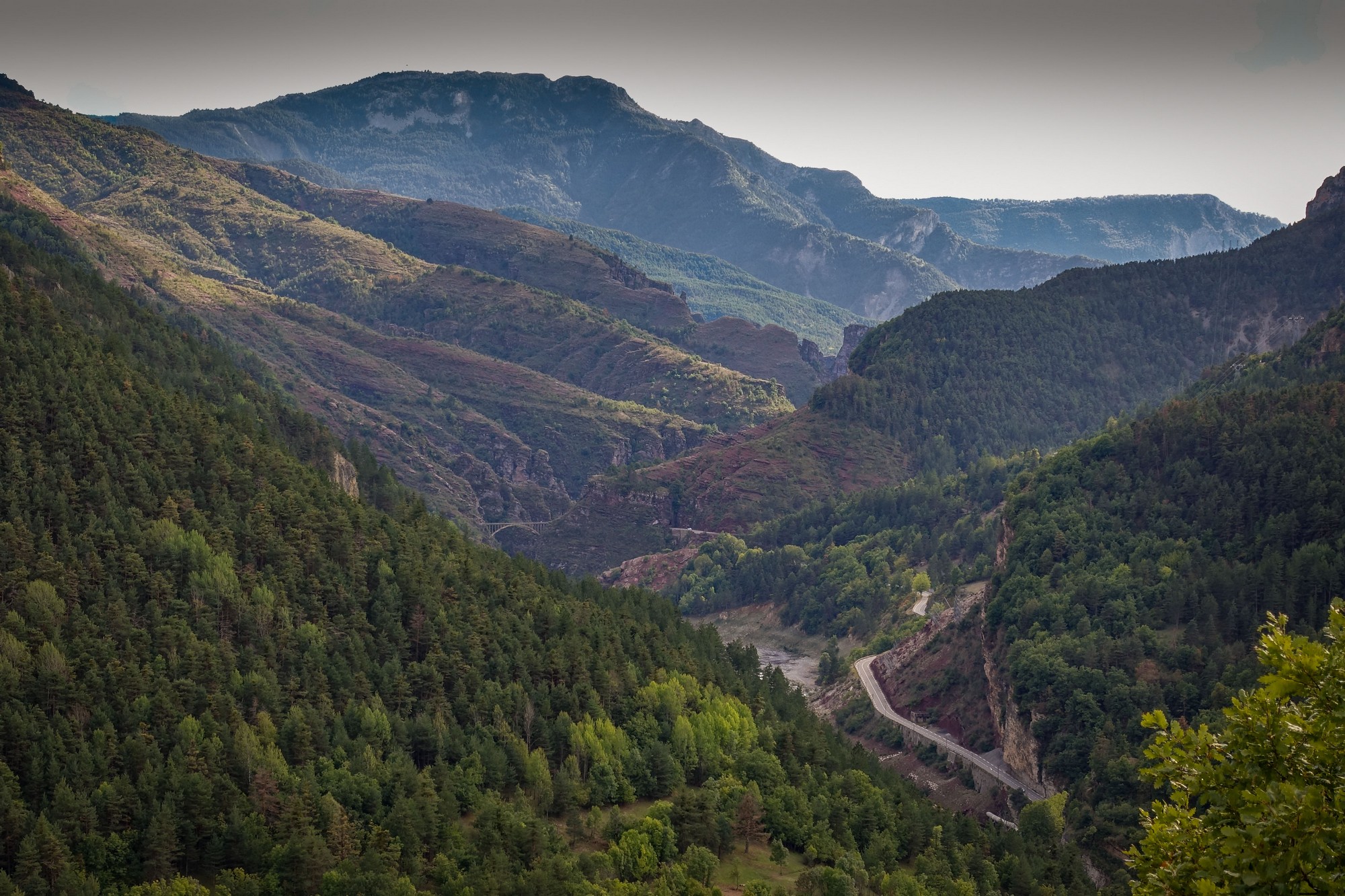
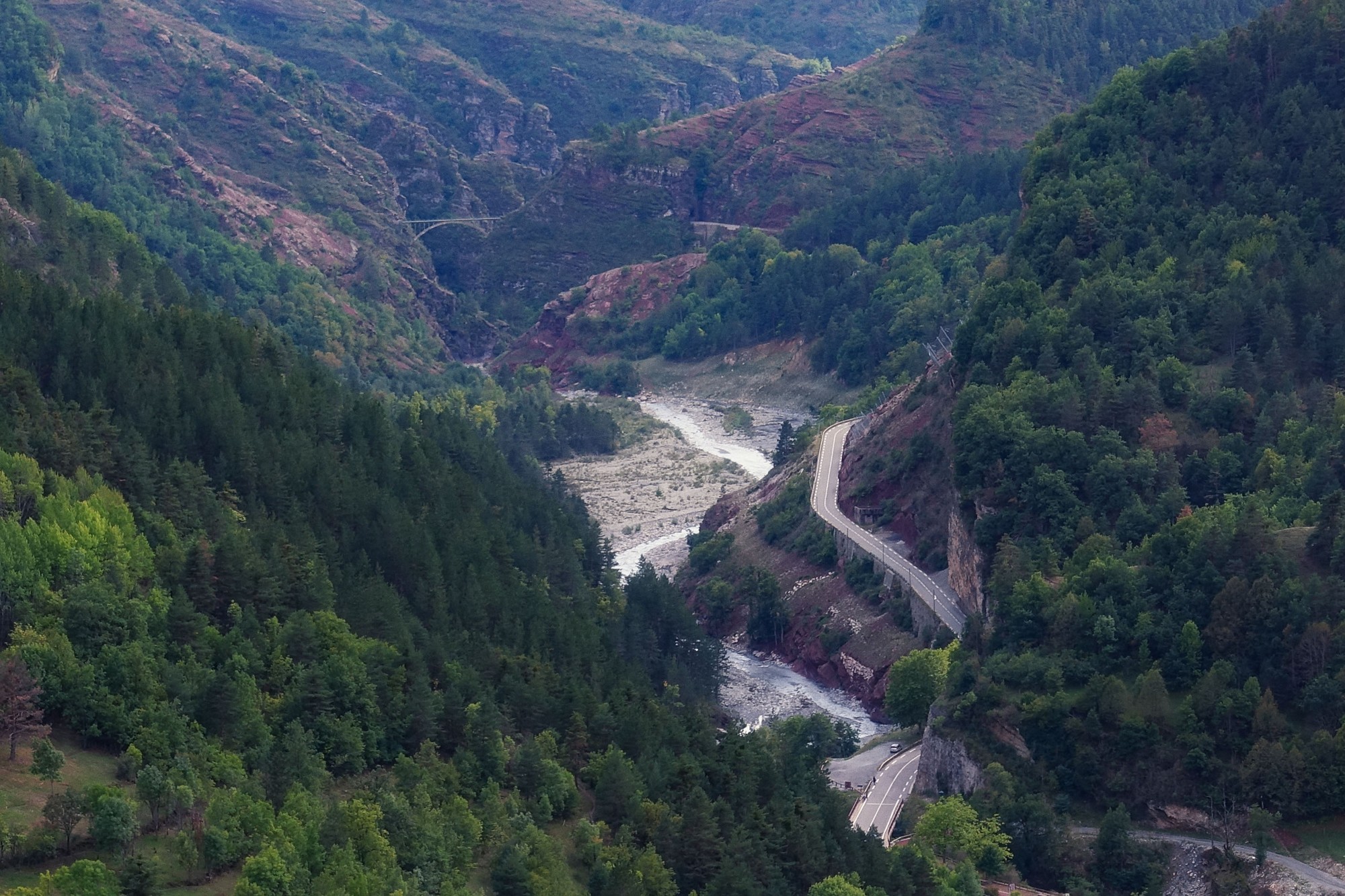
I couldn’t believe how spectacular the descent was – I kept thinking “how could I not have remembered this?” As mentioned above, it was probably because when I did this descent in 2019 it had come at the end of a day where my mind had already been blown by my first ever ride through les Gorges de Daluis. There’s only so much you can take in at once.
I kept stopping for photos.


As the road approached the Var, the view opened up to the left towards the red rocks of the Gorges de Daluis. I wondered if I’d be able to see le Pont de la Mariée from here. I stopped and sure enough I could see it in the distance marking the beginning of the steep section of the gorge.
I wish I could have enjoyed the descent without having to stop for photos all the time.
The road snaked its way back down to the Var and Guillaumes.


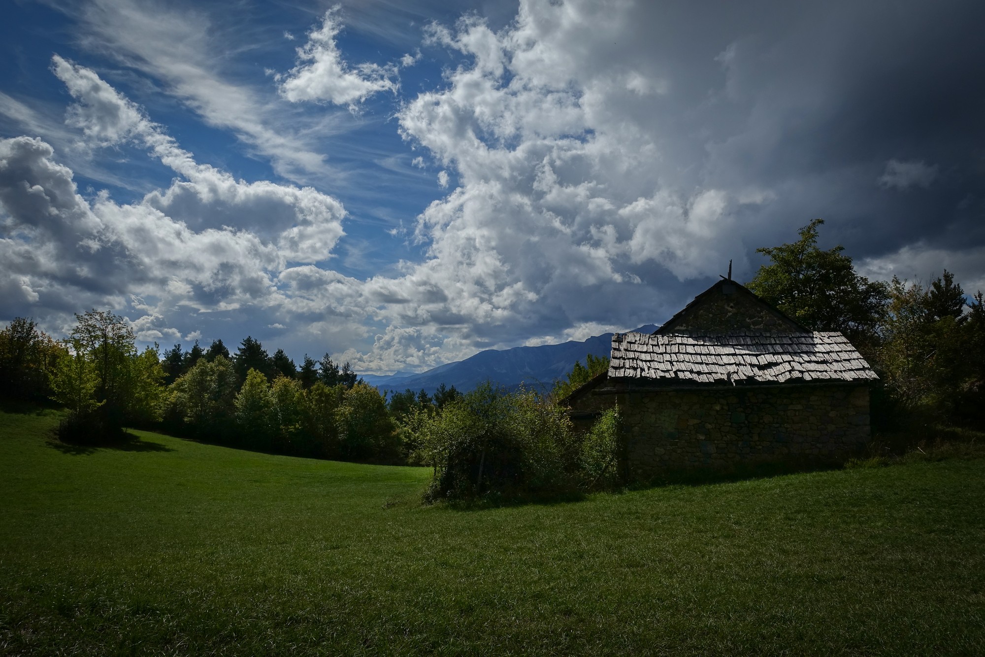
So the rain had held off and I’d had another great ride in the wonderful Parc National du Mercantour.
I’m fascinated when experiences connect to other events through a different perspective, like the instance today of looking across the Var valley to see the village of Sauze on the other side and remembering having looked back the other way nearly three years ago. Or viewing the Pont de la Mariée, a bridge I’m quite familiar with, from a completely different angle, allowing me to fine-tune the context of its surroundings.
In the same way in which roads and rivers link to each other to form a complete network , so does personal experience connect through time and space to other memories and events, to join the dots, forming the bigger picture that becomes the person. I’m still learning, joining-the-dots, growing. Entropy be damned! Or at least for now…
Gallery
Click to enlarge / see slideshow


