Distance: 47.7 miles. Elevation: 6113 ft.
Col de Bérentin | Col de Cuvery | Col de Menthières
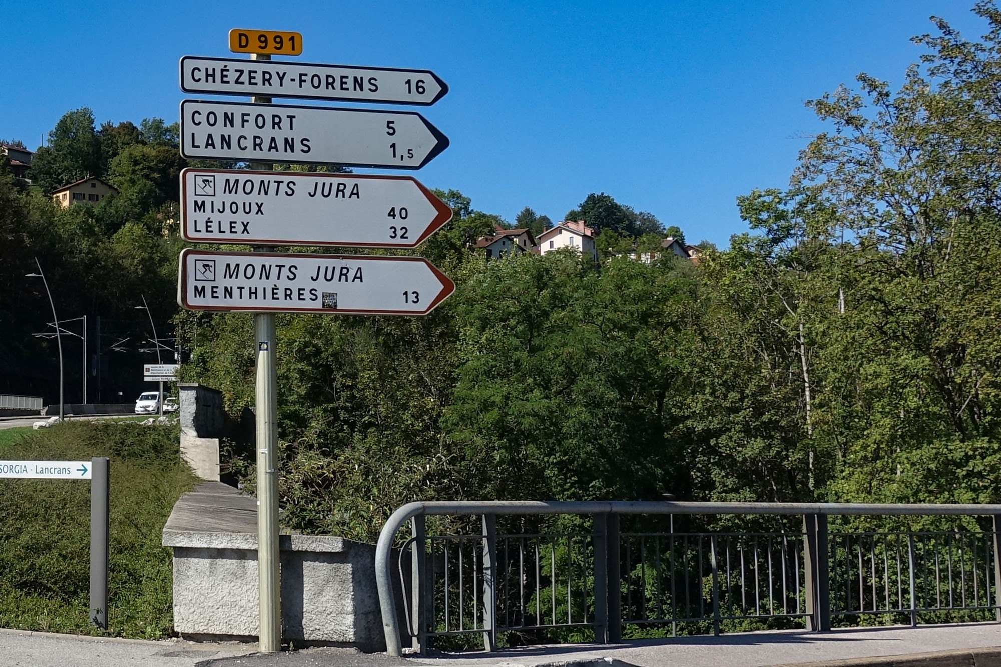
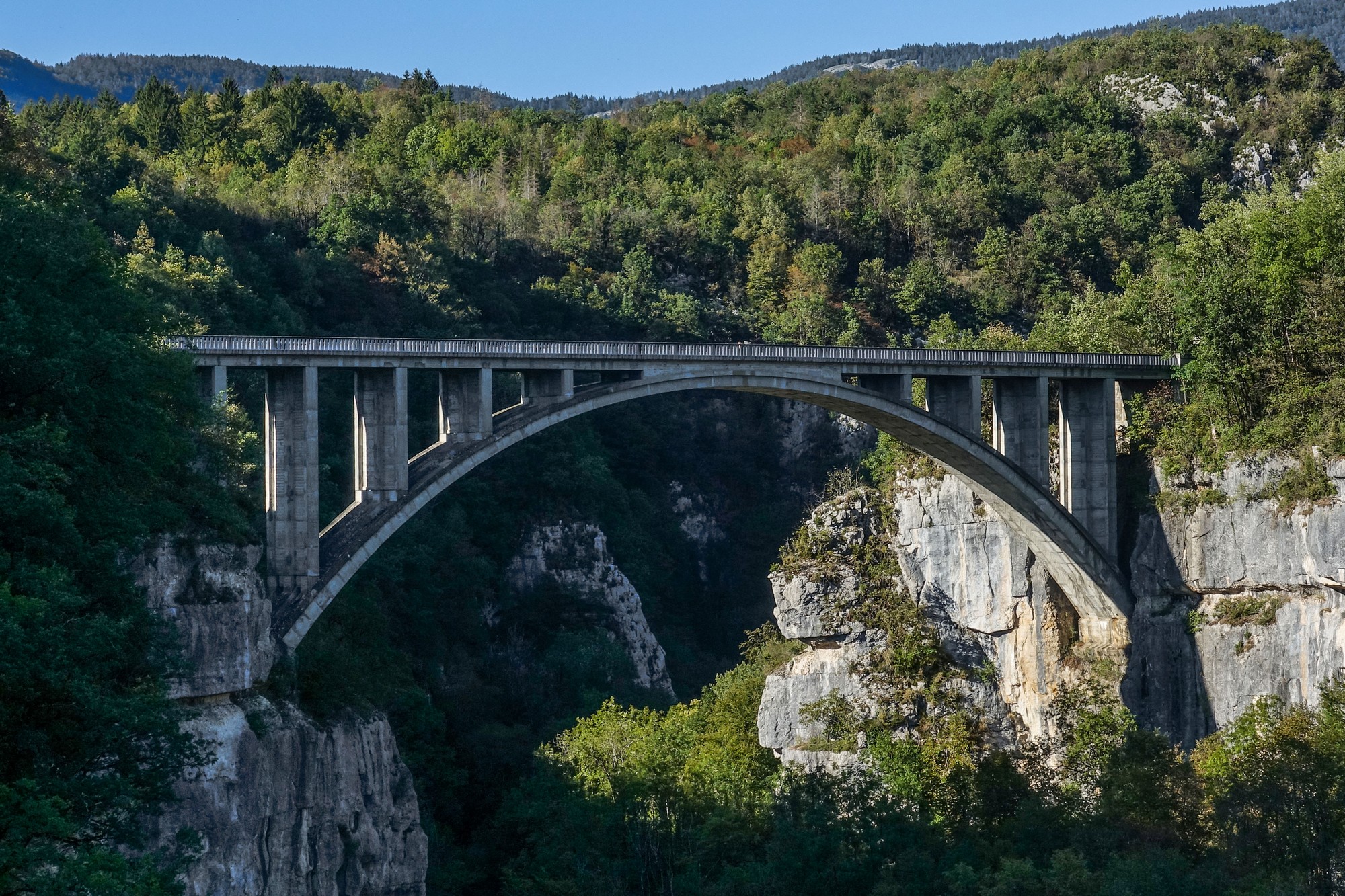
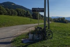
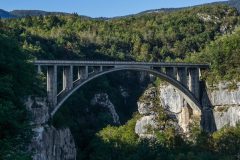
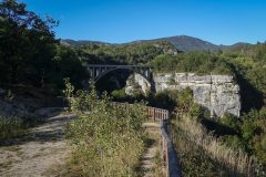
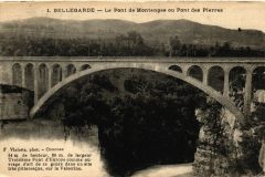
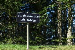
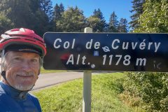
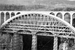
This ride to Col de Menthières came the day after the cold, grey col-fest of yesterday. The route starts off heading south, back over yesterday’s Col de Bérentin and then turns NE, via le Col de Cuvéry, down into the valley of La Valserine (river), crossing to the Monts Jura to climb the Col de Menthières, followed by a descent down to and along the Valserine valley, crossing the river once again via Le Pont des Pierres, which featured on my ride to Col de la Faucille. This time I made my way to the lookout point and got a better photo of the bridge.
The following notes were made on my phone at the time.
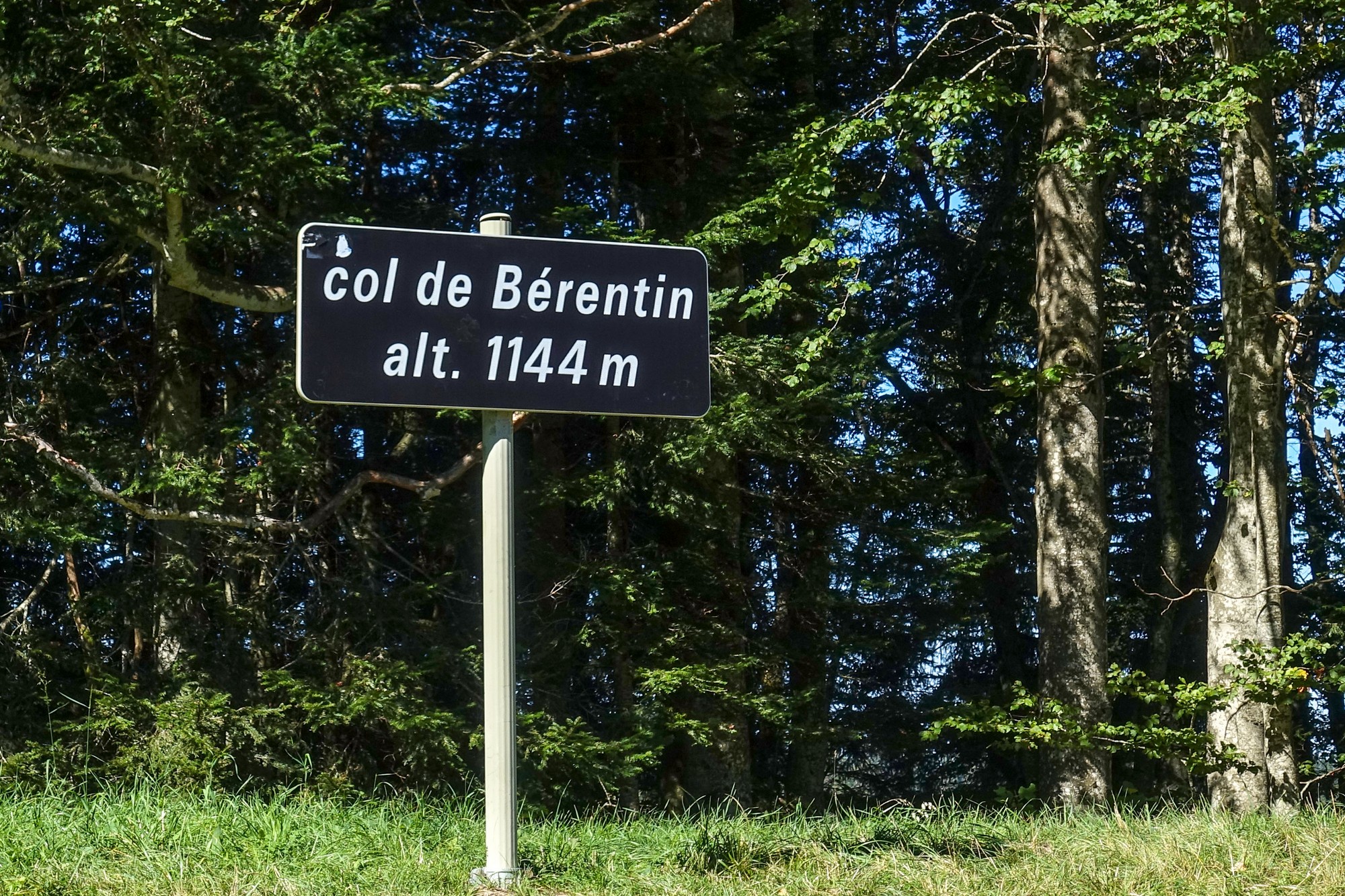
13:11 Report from Col de Cuvéry
The temperature started off about 17ºC in the sun but by the time I got to the top of the Col de Bérentin I saw 10ºC. I did the col in one go, still in the big ring from yesterday. From there it was a few flat miles to here (Col de Cuvéry).
I’ve seen hundreds of motorcyclists on this road but hardly any cars. They were out in huge groups.
It’s really cool in the shade so I’m liking the sunny bits. There is a cold north wind today so on the first climb it was behind me but now I’ve turned into it. I’m going to put my rain jacket on for the cold descent.
14:03 Report from Valserhône
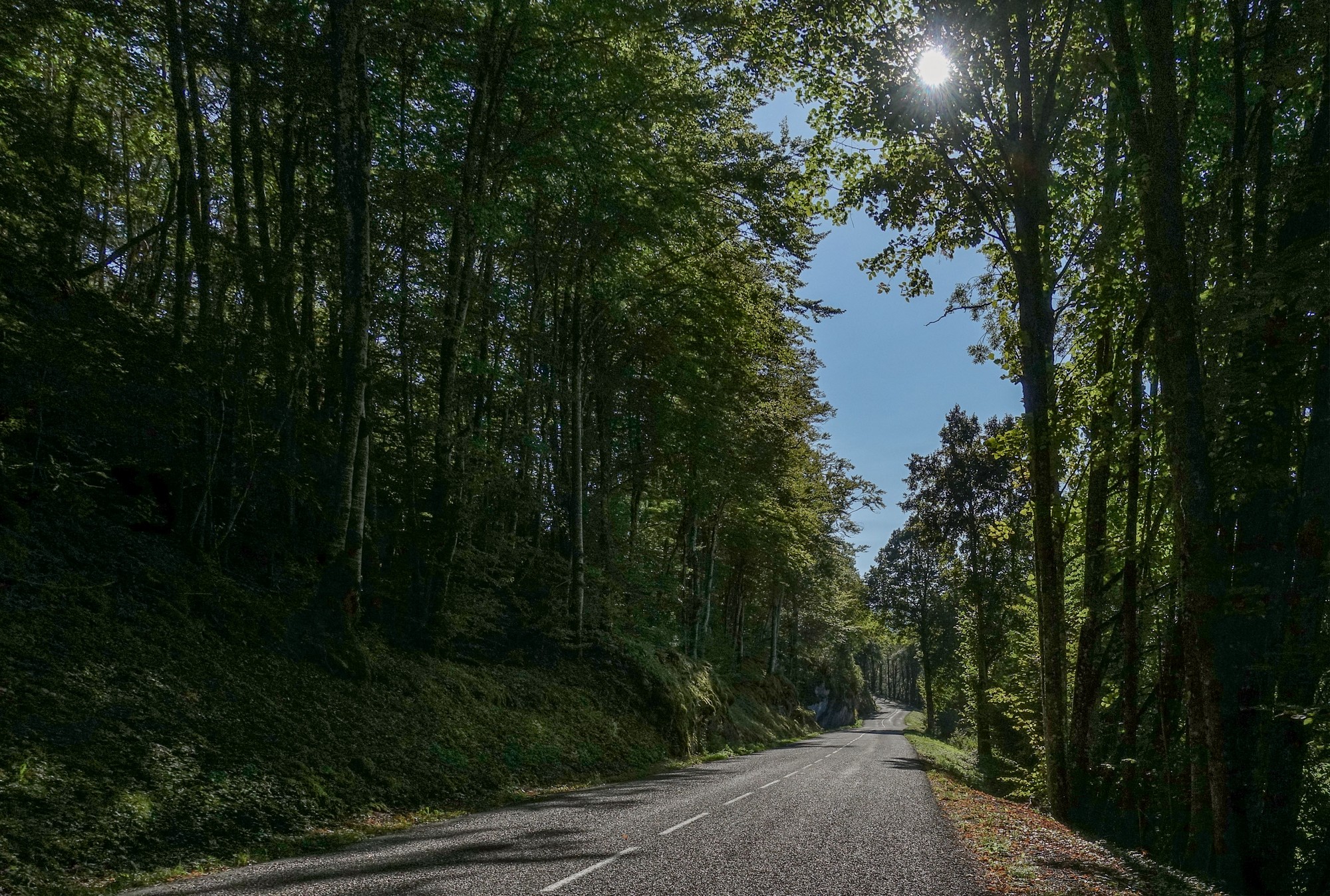
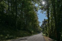
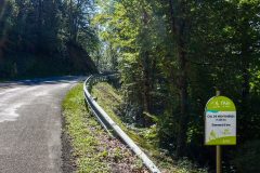
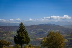
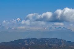
I’ve just finished an extremely long descent (10+ miles). The temperature wasn’t as low as I thought it would be. But the road descending through the forests had loose gravel nearly all the way down – not as bad as yesterday but it takes the edge off the speed you can safely do. There were several views of Mont Blanc at first.
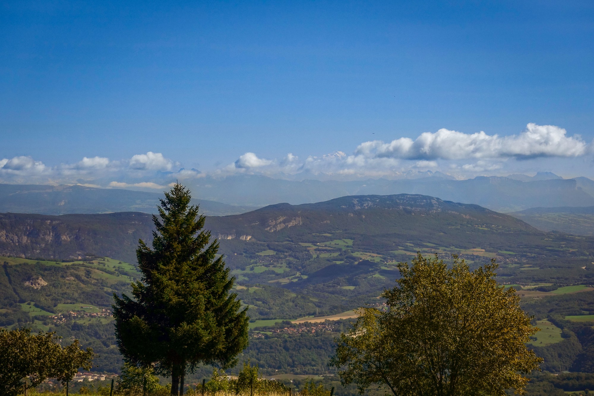
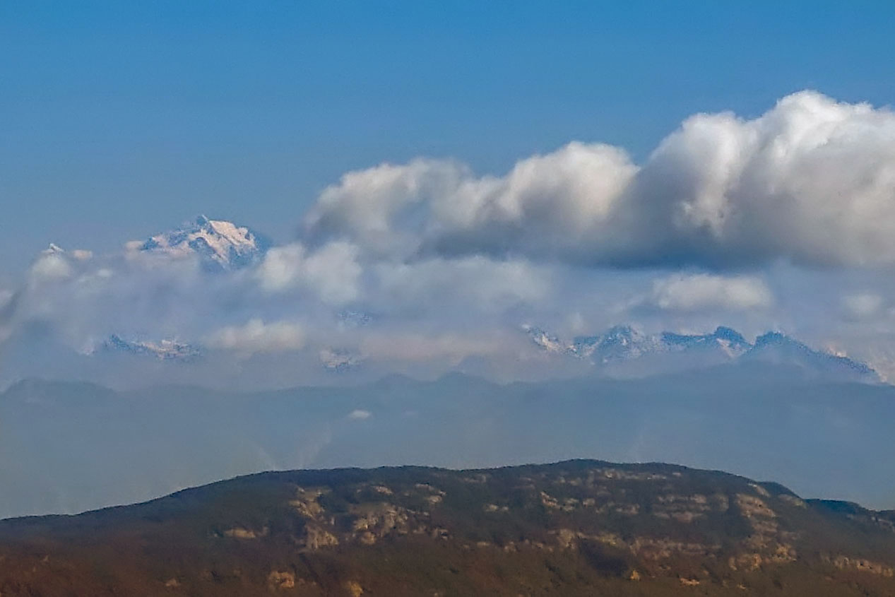
The temperature has increased as I’ve come down in altitude even though there’s still that cool northerly wind.
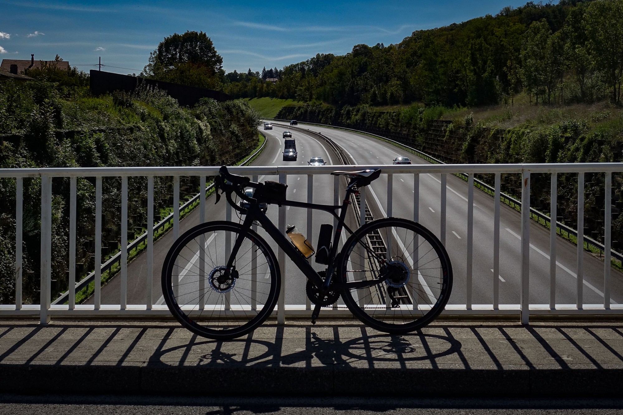
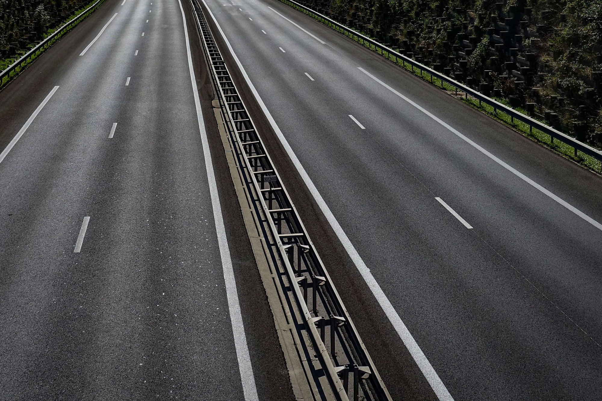
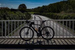
The last three miles since crossing the A40 have been on a main road with a brand-new road surface, slightly downhill. There was room at the edge to ride on. These are not exactly cycle lanes, but it feels a lot safer to have the ‘margin’ at the edge of the road to ride in.
[I realised while writing this that the name of the commune Valserhône is a contraction of Valserine and Rhône, the two rivers that meet here. And I’ve just found out through Wikipedia that the commune was renamed Valserhône just four years ago, in 2019, after a merging of smaller communes]
I’m just about to start this ascent to Col de Menthières and I’m gonna take my jacket off – I’m hoping it won’t be too cold. I just had half my peanut butter sandwich and an energy gel.
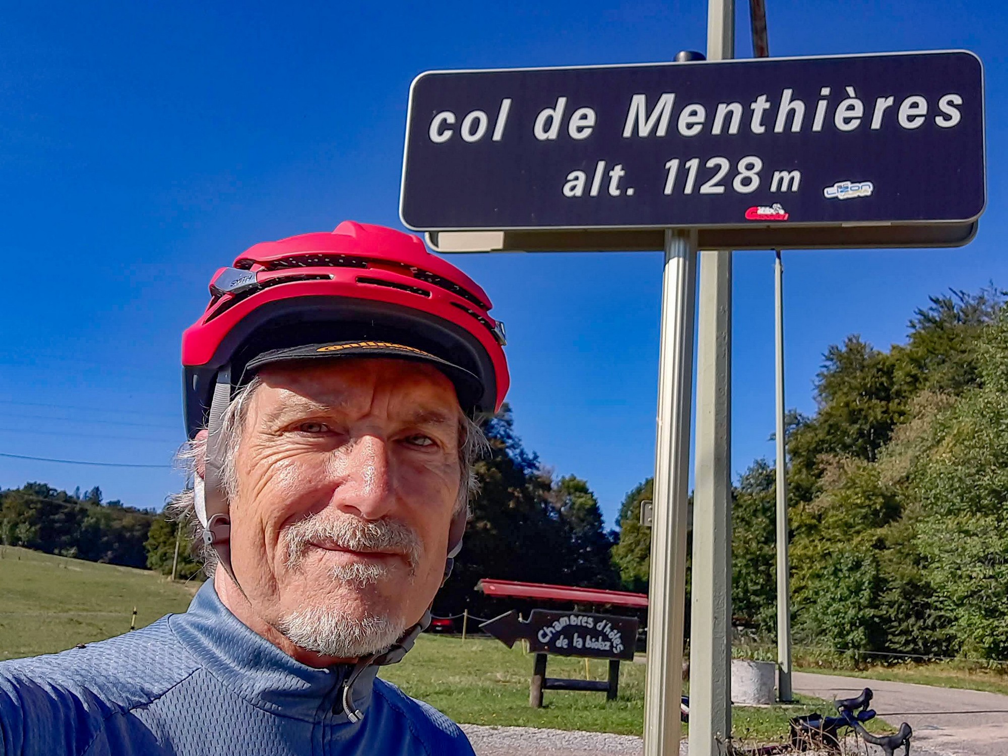
15:46 Report from Col de Menthières
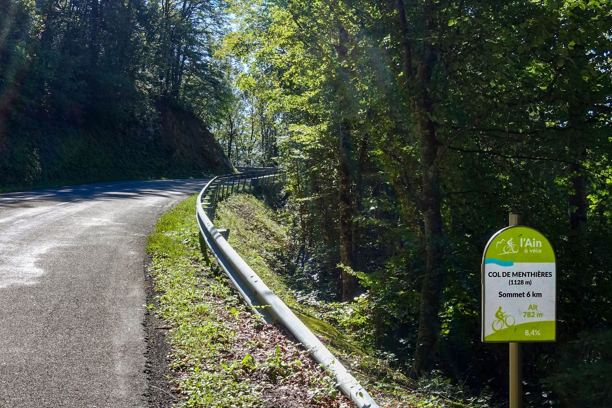
It was the right decision to take my rain jacket off before the ascent. The sun was on me for much of the time and I got quite warm, but not overly so, and there was equal measures of shade. My hands and feet were warm which is a good sign that I wasn’t cold.
The wind didn’t seem to affect the climb at all until I reached the village of Menthières, after which the road actually descended for a while and that was very chilly because of the north-easterly wind and the fact I’d built up a sweat.
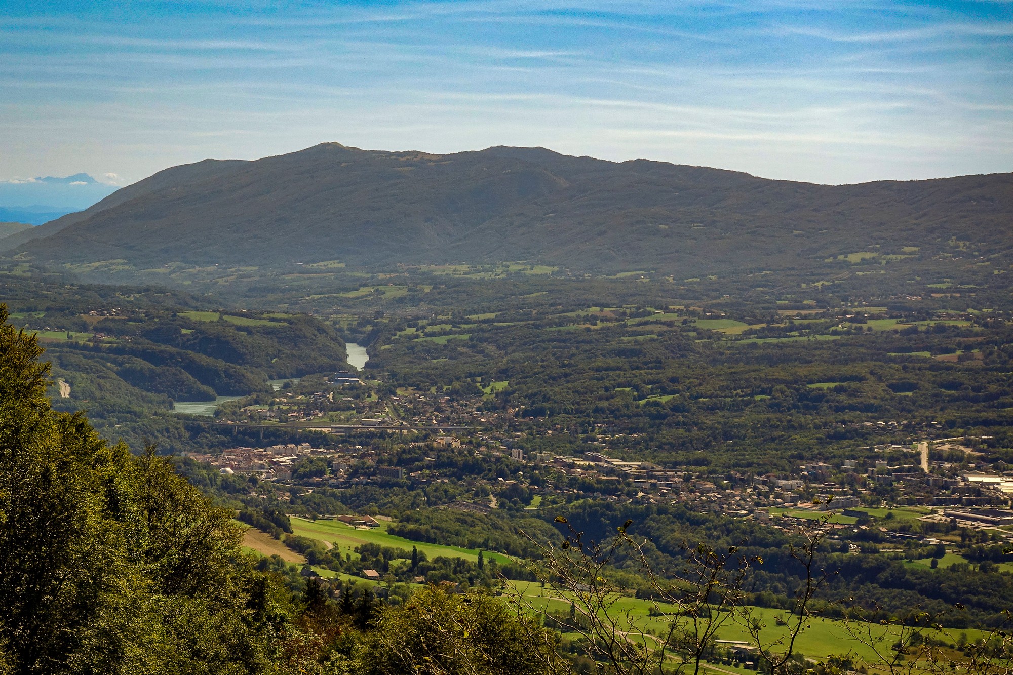
The temperature at the bottom of the climb in Valserhône was around 20°C and it gradually decreased on the way up so I’m standing here at the col and it’s now 14°C.
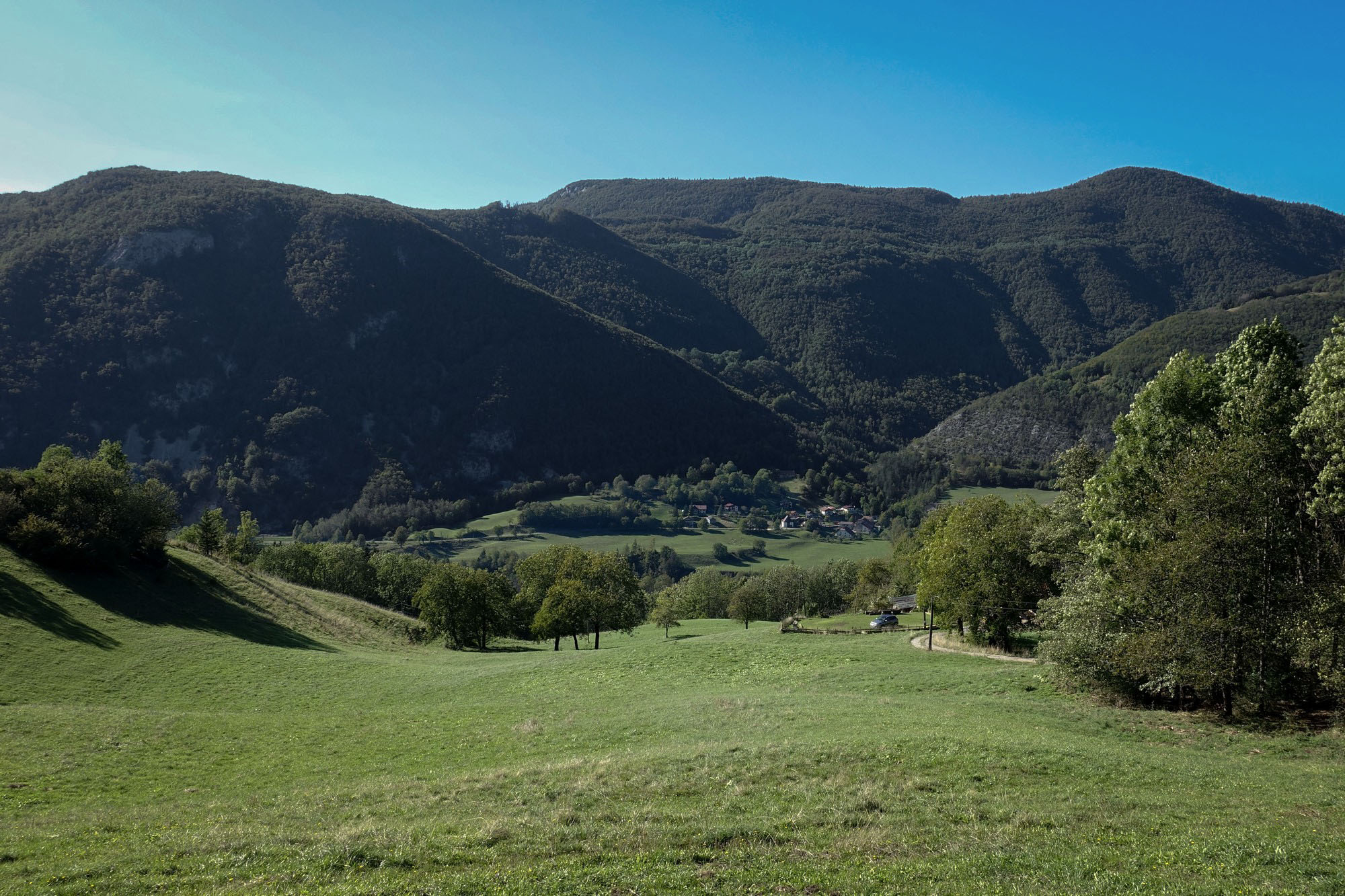
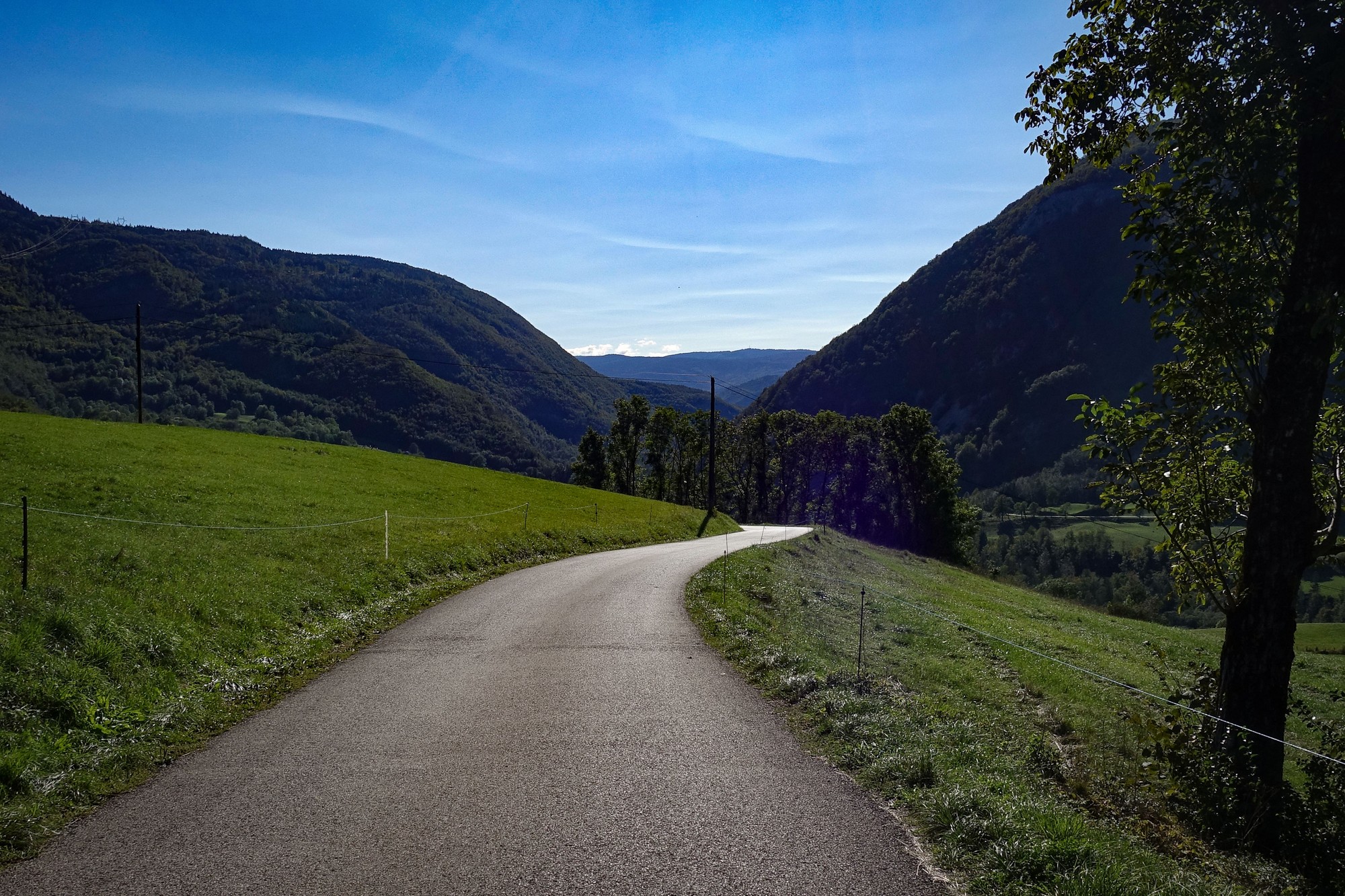
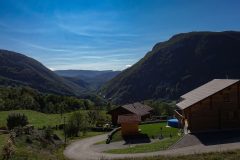
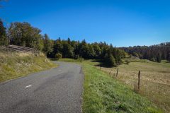
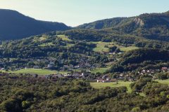
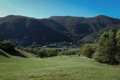
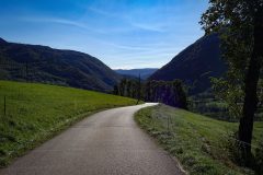
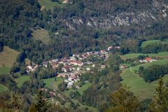
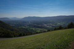
Still I didn’t find it too tough at all even though there were several sections of 8.4%. The climb started and finished in open pasture with distant views, but the steep middle four miles were in the forest.
I’m just about to eat the second half of my sandwich and put my rain jacket on for this descent.
Final thoughts
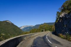
I hadn’t made any further notes at the time of this ride, but can recall much of it from the photos. I realise from re-reading the above notes that I keep going on about the temperature and wind, etc, so I’ll not say any more on the subject other than the fact that it was wall-to-wall sunshine all day long, as can be seen. In fact it marked the first day of two weeks of sunny dry conditions for me.
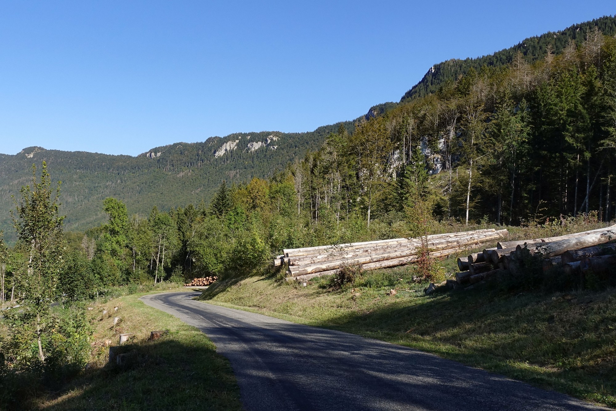
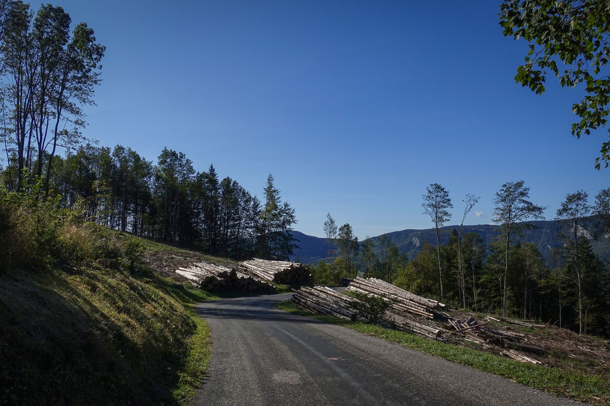
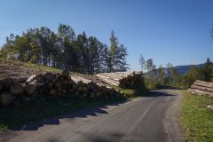
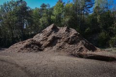
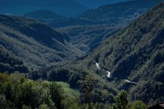
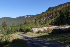
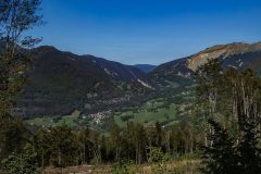
The descent from Col de Menthières started in the forest, or what there was left of it. Evidently there had been much logging activity of late, with swathes of trees having been felled, revealing views across the valley which would otherwise have been obscured. Being a Sunday, today all was quiet on the chainsaw front.
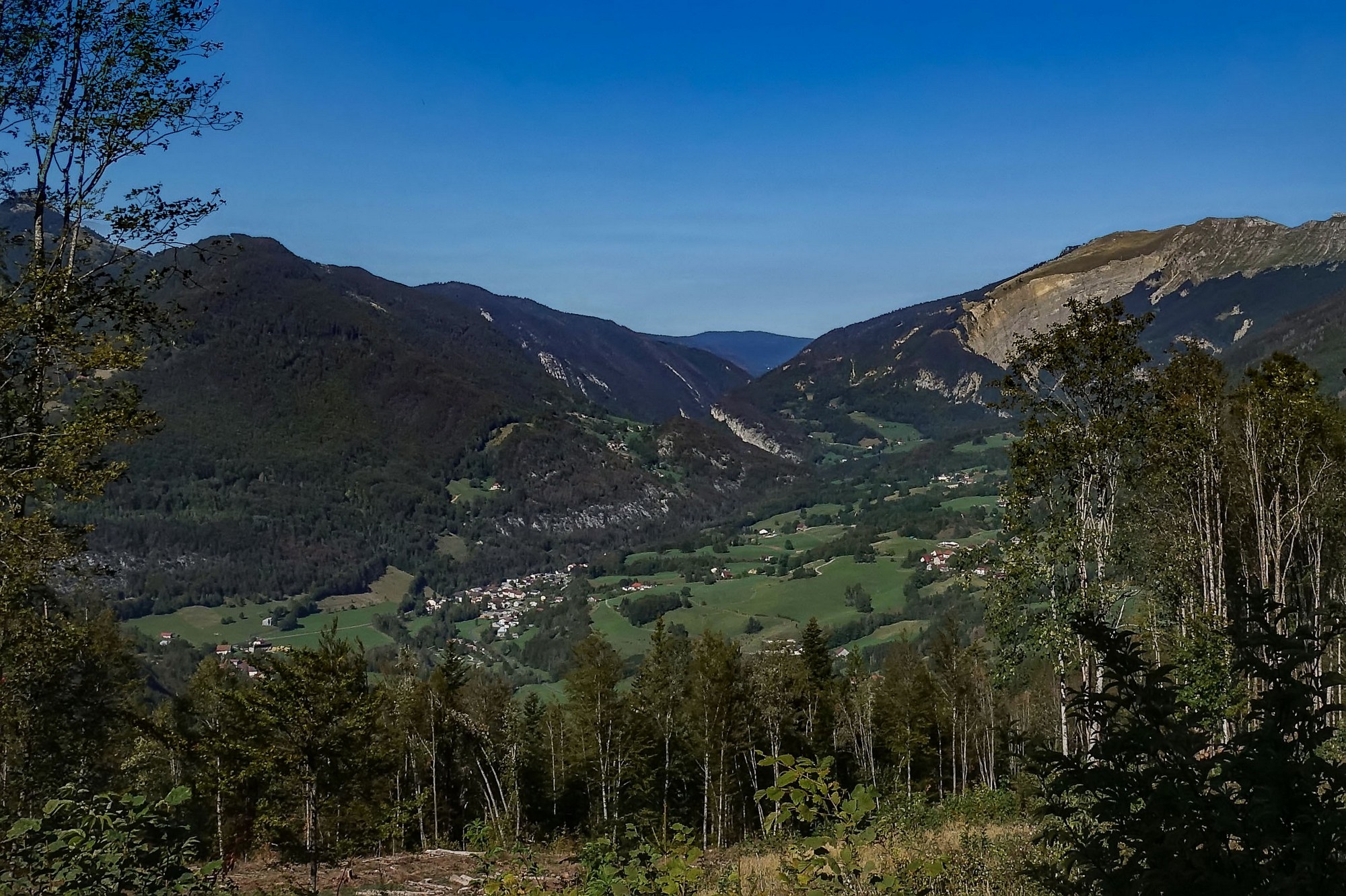
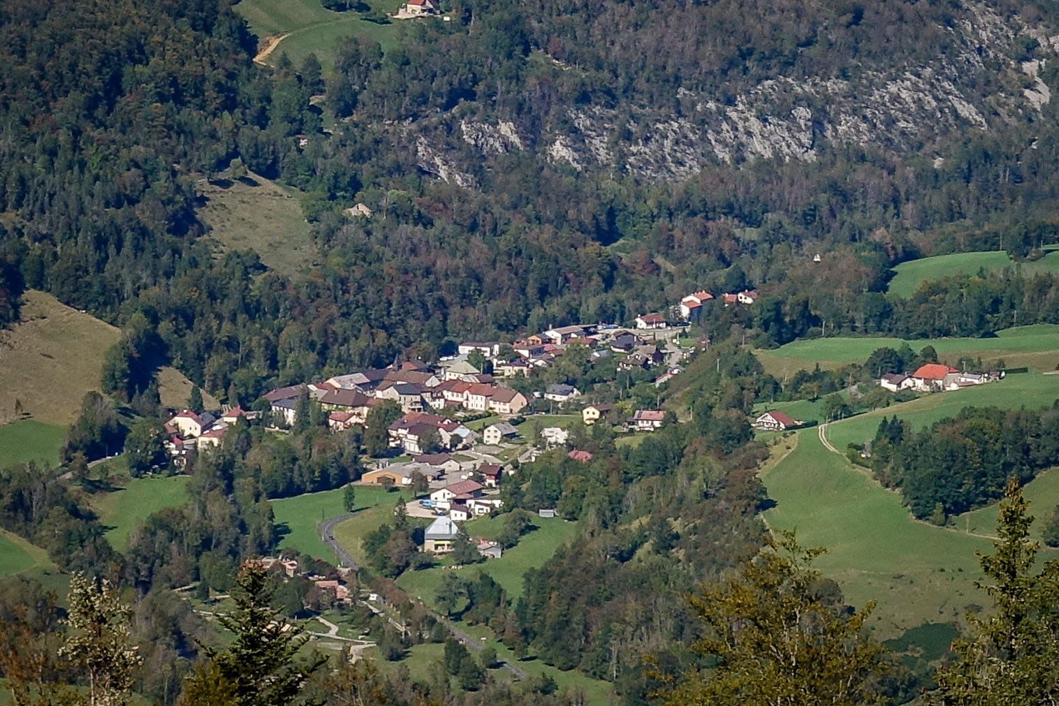
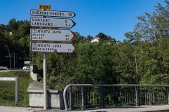
The descent was spectacular. For six miles the road winds its way down the hillside to Chézery-Forens, where my route eschewed crossing the river Valserine in favour of almost doubling back on itself to follow the same hills, this time to the south and at a lower level to the road that came down from the col.
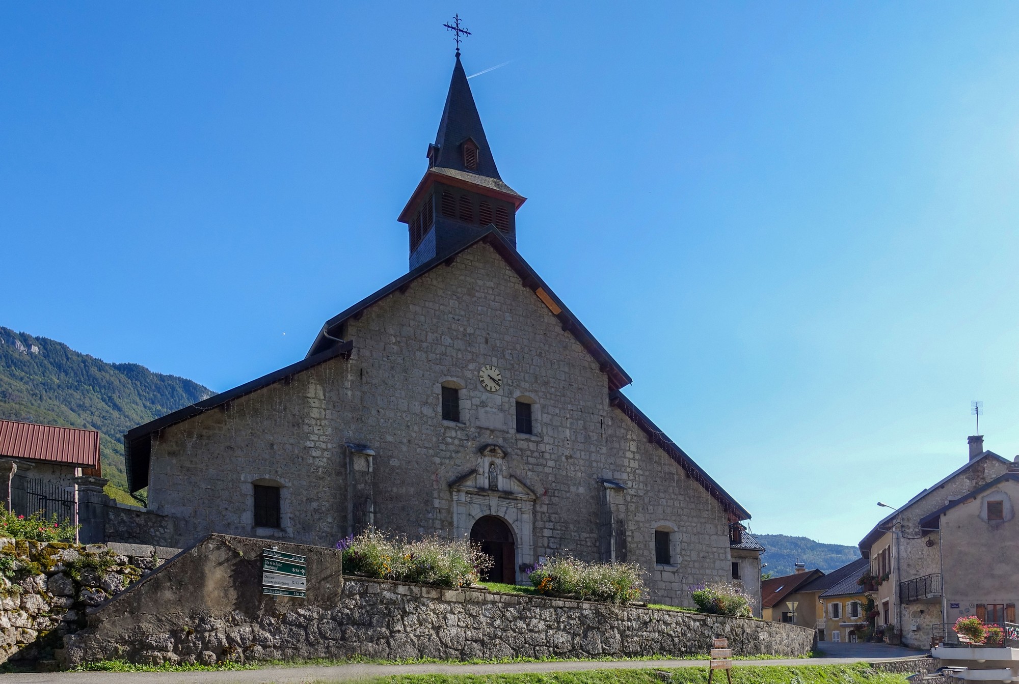
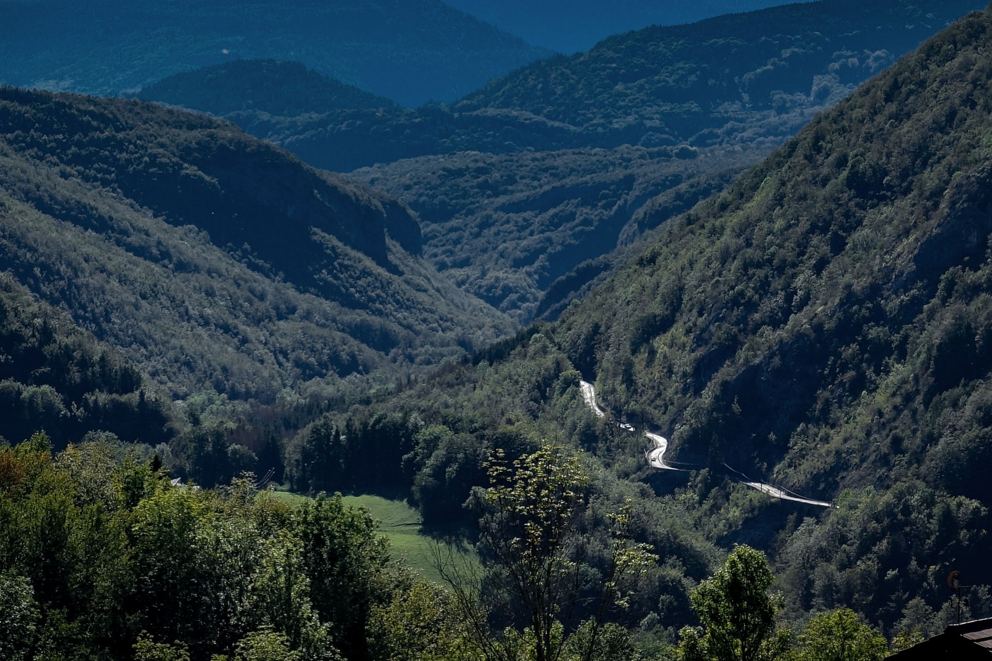
From Chézery-Forens I followed the gorge of the Valserine on the east side. On the other side of the valley lies the village of Champfromier, which featured in last year’s ride to Les Moussières.
Eventually the road crosses, again, the river Valserine, at the Pont des Pierres, the same bridge I had traversed in the opposite direction four days prior, on my ride to Col de la Faucille. This time, I knew that there was a gravel track that leads to a lookout point made specifically to view the spectacular construction, so I rode down that track and got some photos.


A short way further on from the bridge, at the village of Montanges, I saw another remnant of the old tram service that used to link the communities around here, the path of which has now been turned into a cycle/foot way known as the Voie du Tram.

All that remained was a five mile climb back to Lalleyriat, where I was based. It had been another wonderful ride in the Jura, made all the more enjoyable by the sunshine.
Further reading
- Heritage and History of Champfromier Masses of interesting stuff about the commune (in Fr. Right-click to translate)
- Champfromier
- Le Tramway à Champfromier Loads of info about the tramway
- Le Pont des Pierres
- Jura Mountains
- Valserhône
- Haut-Jura Rando Excellent site with info about activities in and history of the area
Fuel
Gallery
Click to enlarge / see slideshow


