Distance: 54.6 miles. Elevation: 5350 ft.
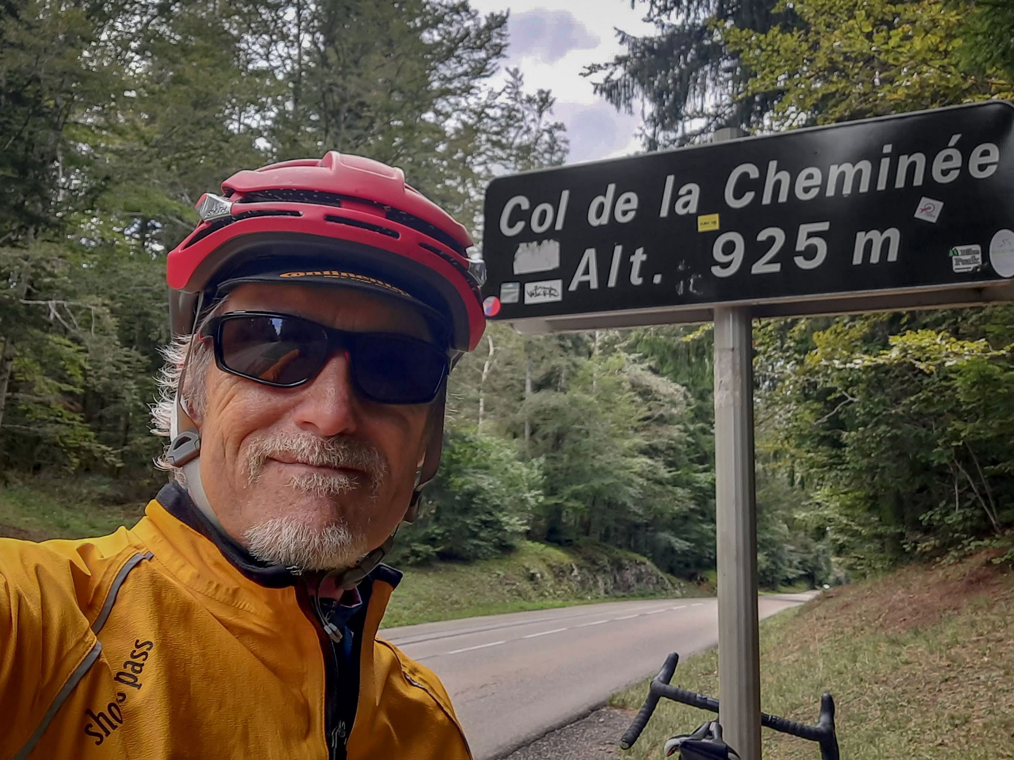
Col de la Cheminée | Golet Géla | Golet Comment | Col de Belle Roche | Col de Bérentin | Col de Colliard | Col de Pisseloup | Col de Cuvillat | Col du Cruchon | Col de la Berche | Golet Sublet
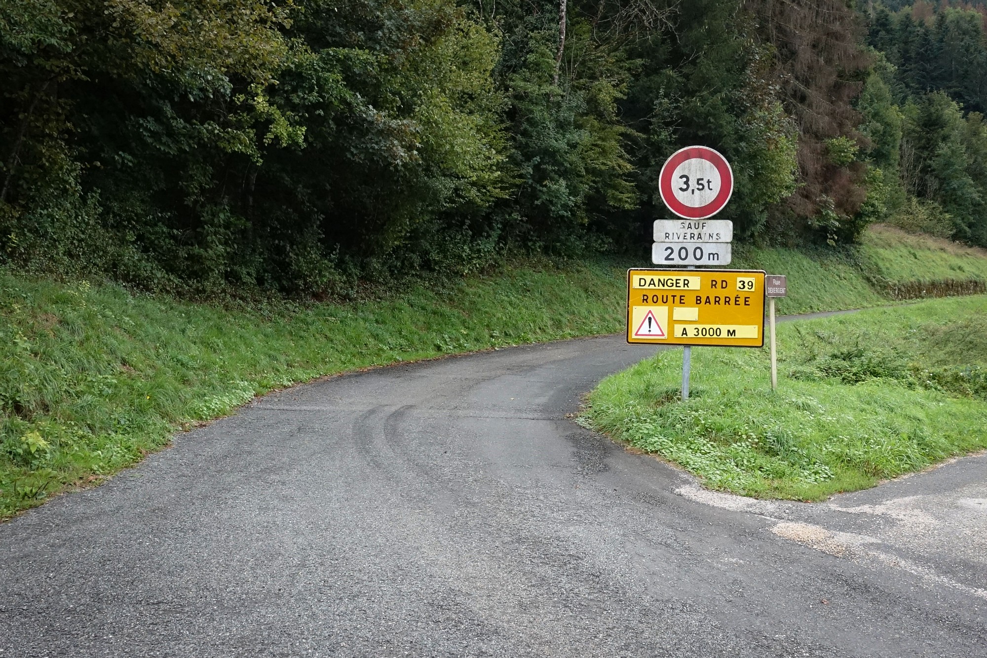
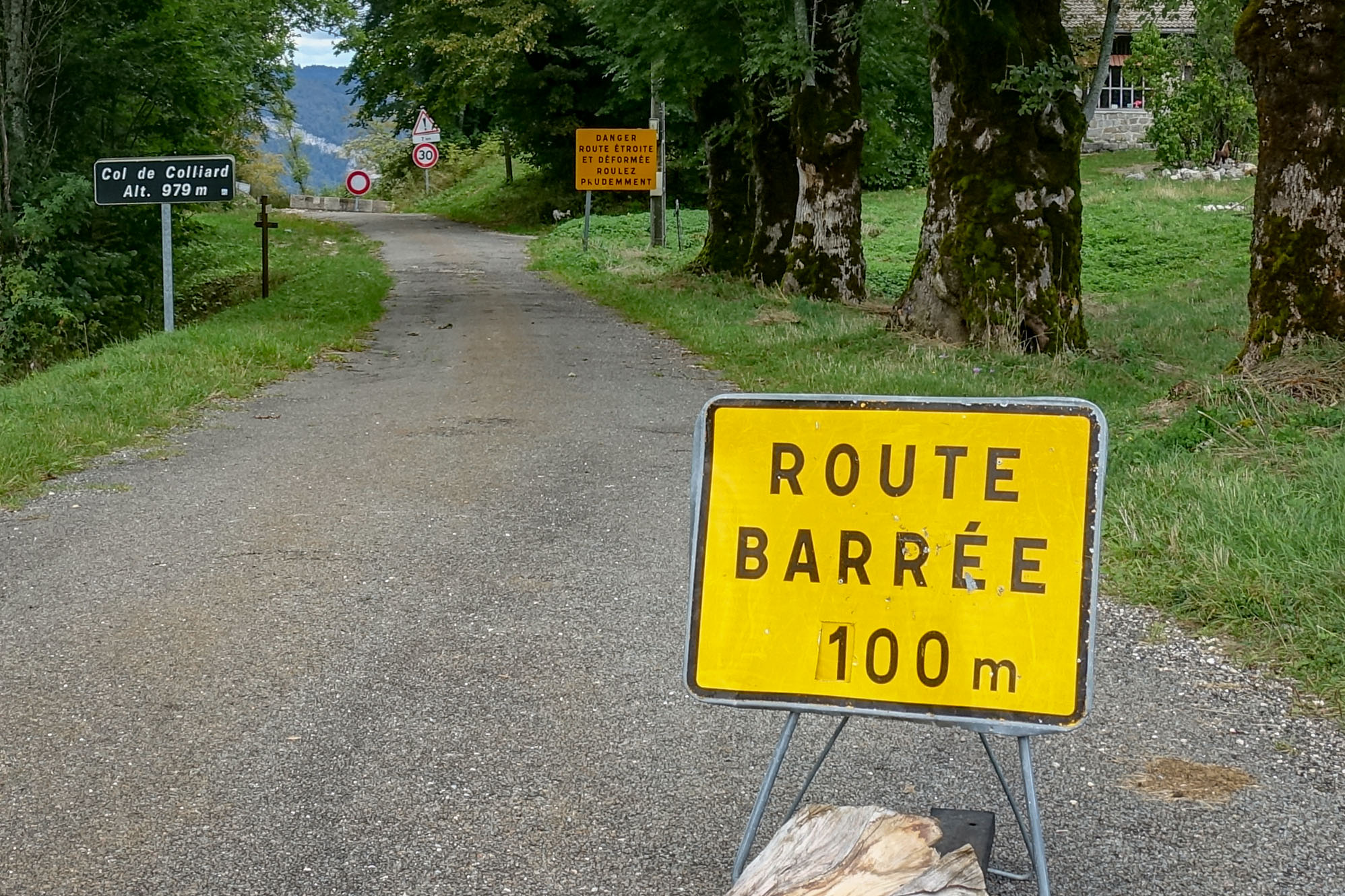
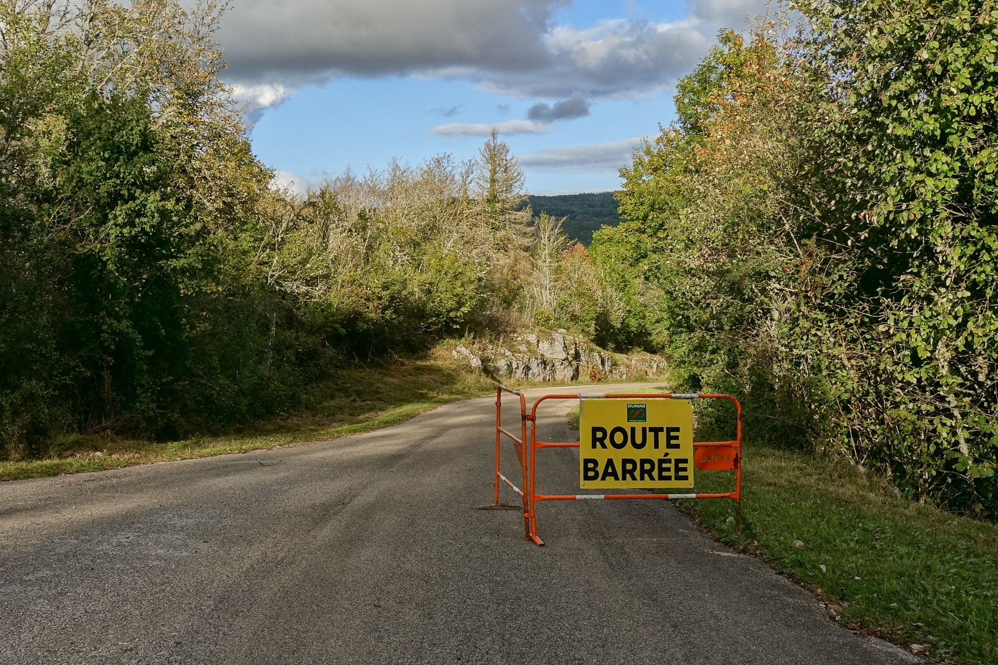
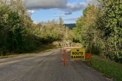
This day started with a lot of pre-ride frustration. As may be apparent, I designed this route as a bit of a col-fest, zipping here and there to collect as many cols as I could along the way (eleven in fact). But before I left for the ride I thought I’d check the local inforoute website to make sure all the roads were OK. Annoyingly I discovered that a key part of my route was ROUTE BARRÉE! Bloody hell!
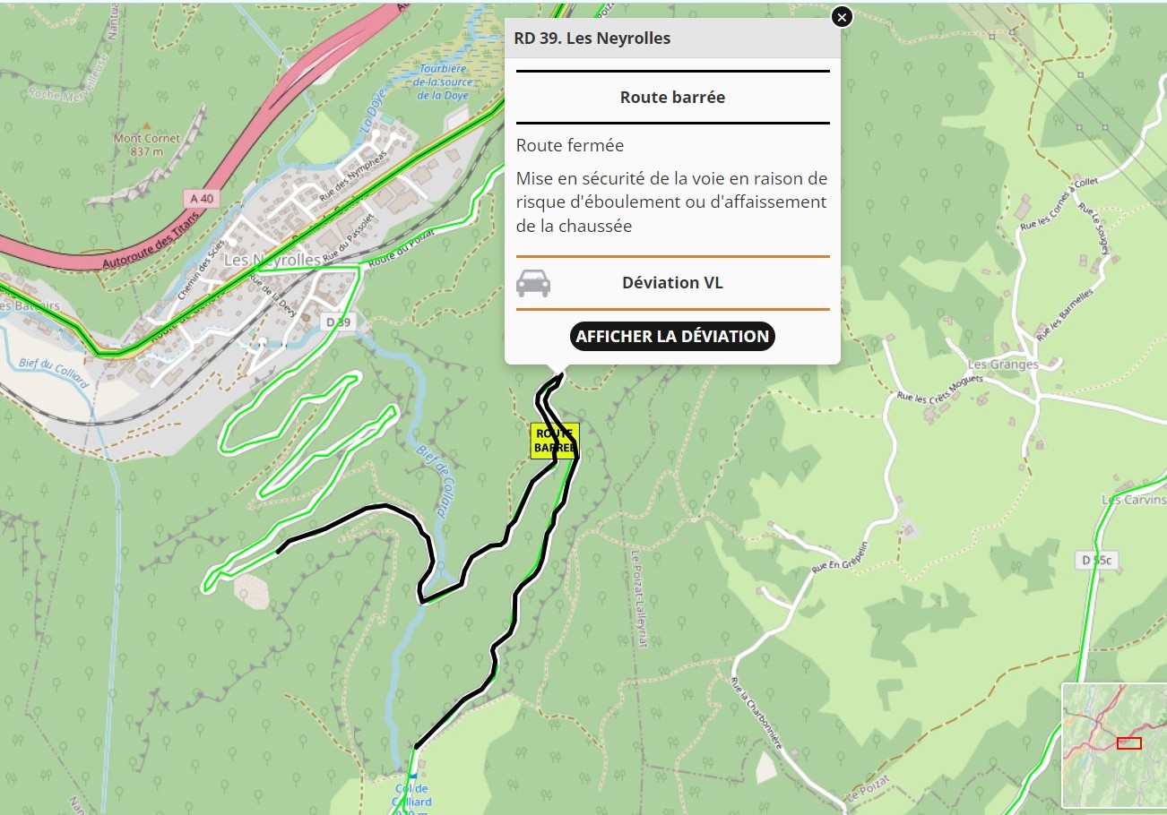
I spent ages googling it. In fact Google Maps thought that road was OK to use. But other websites indicated that it had been closed for a couple of years. When I looked at the old Google Streetview footage of the (now) closed section it looked like it consisted of a narrow road cut into a very steep hillside, meaning that if I did try it and came across a landslide, I wouldn’t be able to easily get around the obstruction.
So, with heavy heart, I redesigned my route to follow the recommended detour. But, not happy about missing out on two cols, I decided to ride out of my way to visit them from the other end of the detour. Ha! That’s dedication to the cause! The ride map above shows my contorted route.
I knew it was going to be a cold day, with the forecast predicting a high of 12°C. So I wore a long-sleeved roubaix (soft lining) top and base layer, and thermal socks. I started the ride wearing my rain jacket, knowing that I first had a 2½ mile descent to deal with, but it stayed on for the whole day! And I was never too warm!
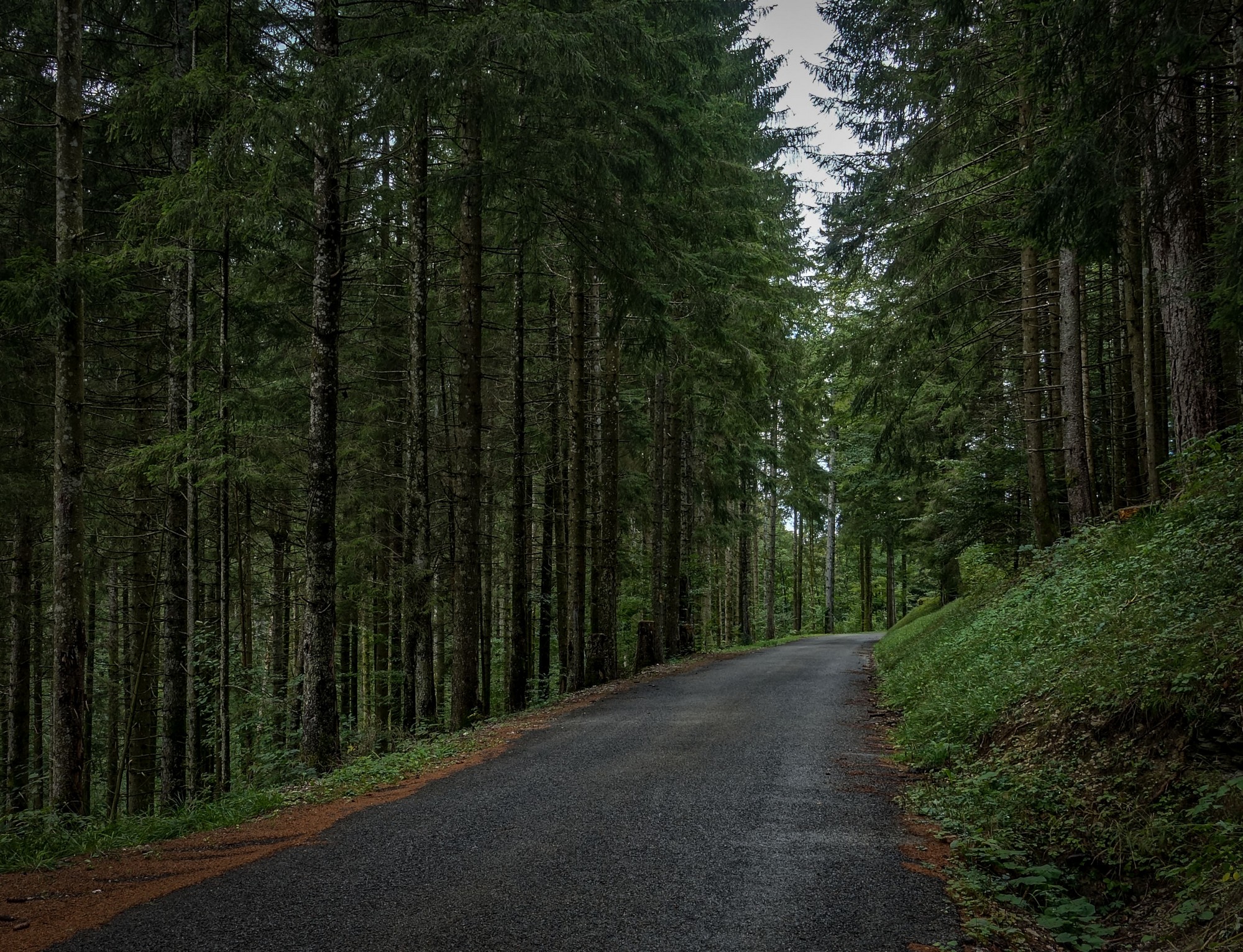
I left quite late at 12:40, but it was still cold and the first two miles descending steeply through the forest just made me colder.
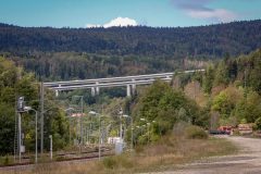
Out of the forest the road levelled as I reached the valley of Le Combet. Suddenly there was lots of infrastructure, all trying to force its way through the valley. I crossed the railway.
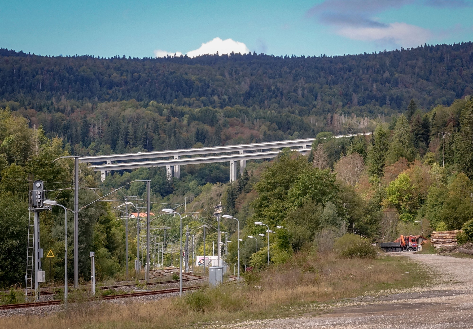
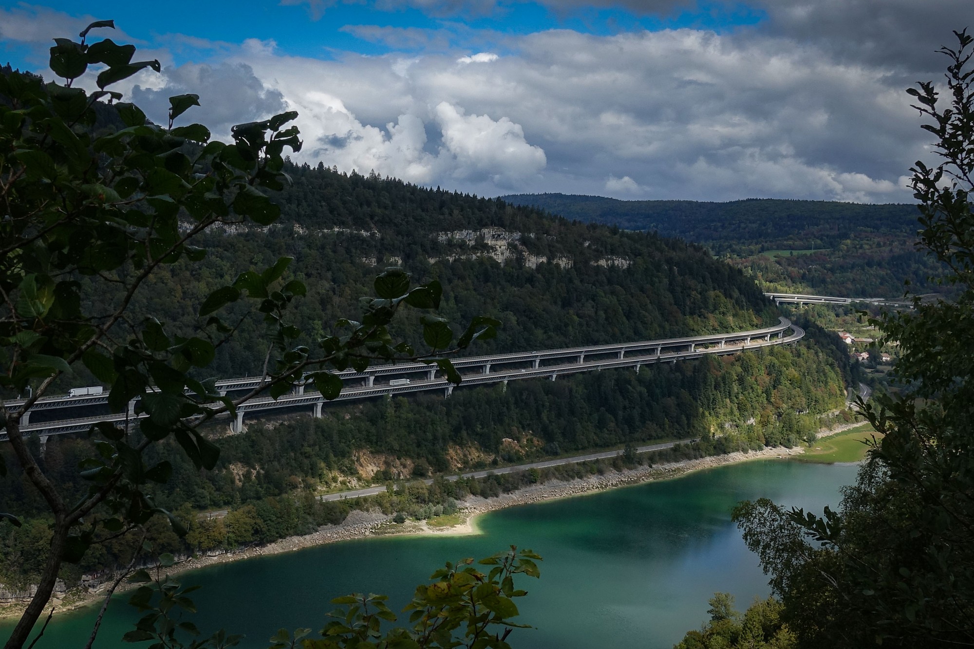
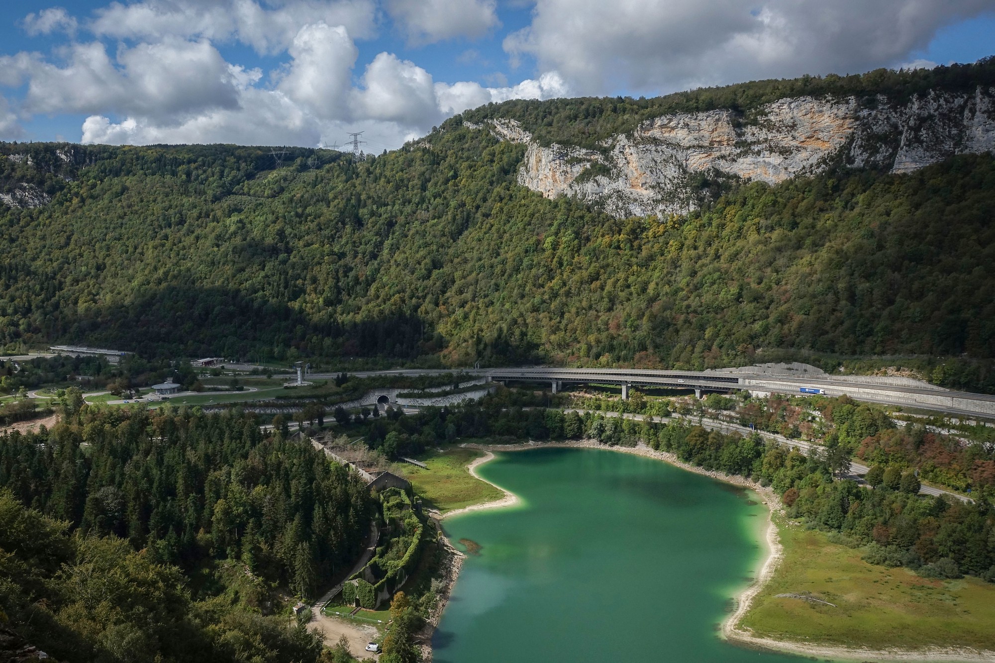
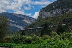
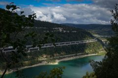
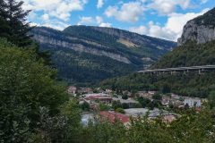
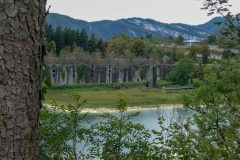
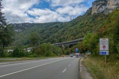
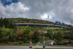
The view was dominated by the impressive viaducts of the A40 motorway, snaking its way round the hillside. It’s known as the Autoroute des Titans (“Highway of the Titans”) for its dramatic engineering construction. I was impressed, but then I’m always fascinated by big civil engineering relating to roads and rail – tunnels, viaducts, bridges, etc
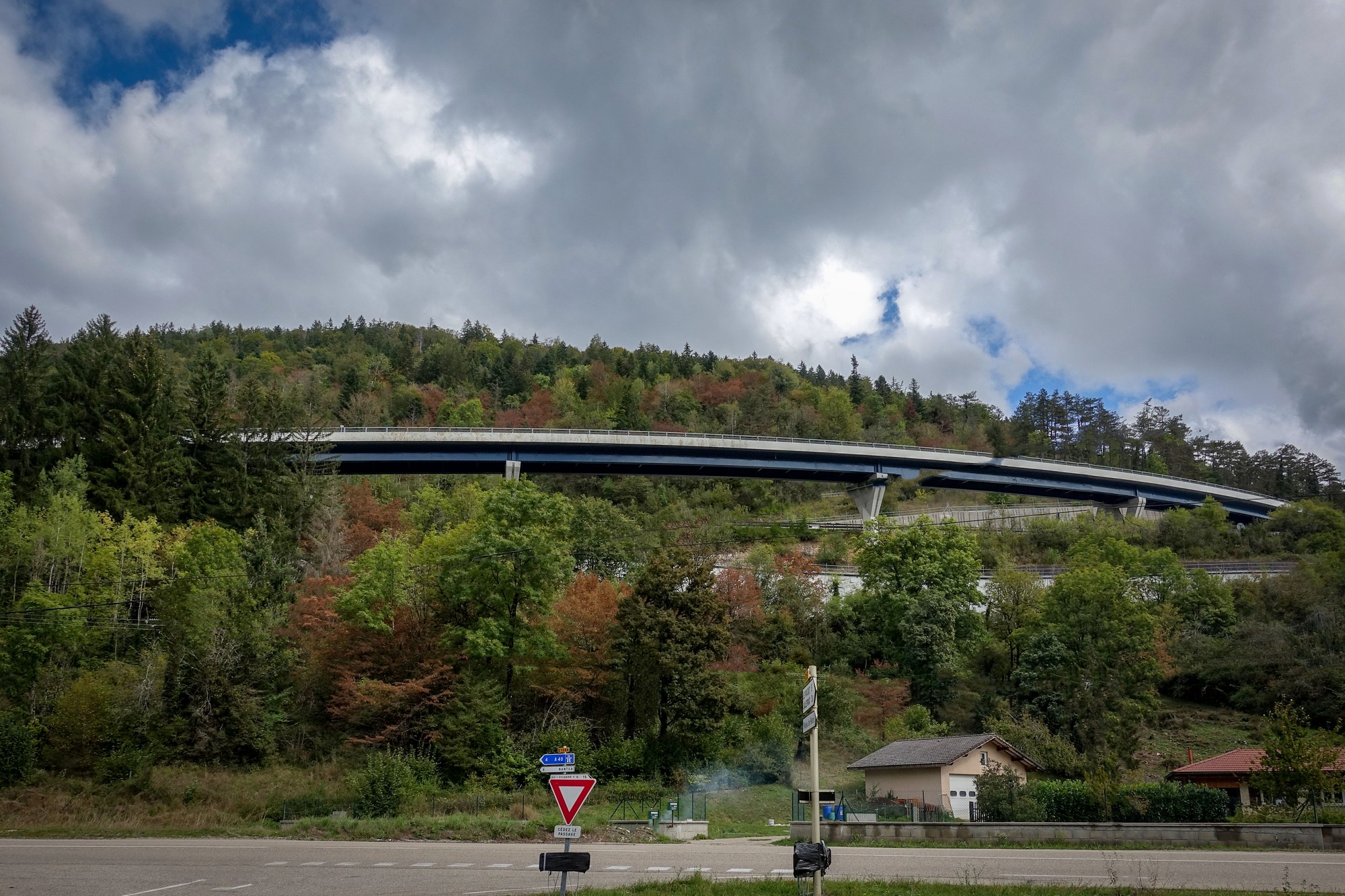
It looked like something out of Thunderbirds.
The next two miles were along a main road, but there was space at the edge to ride on, so it wasn’t that stressful.
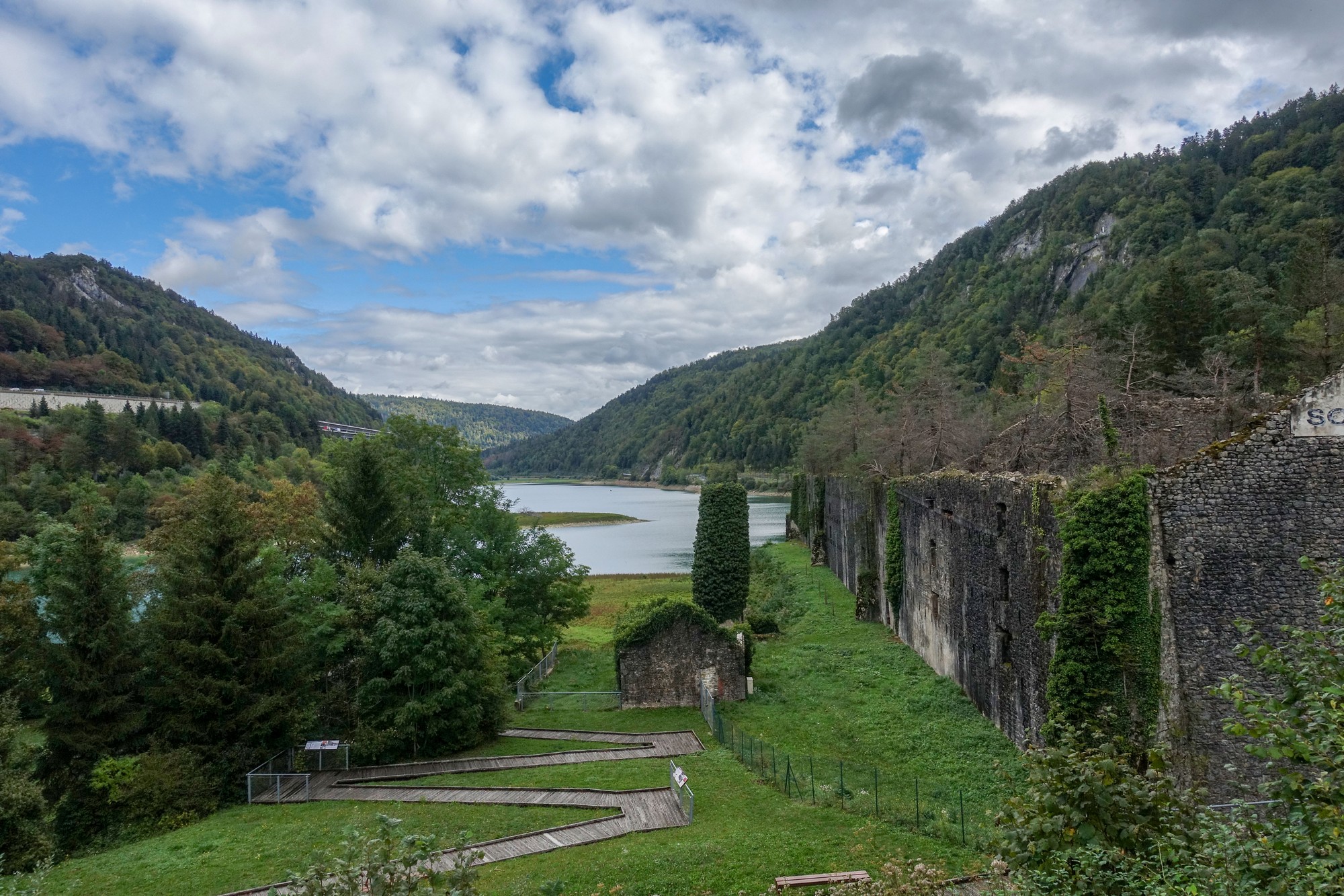
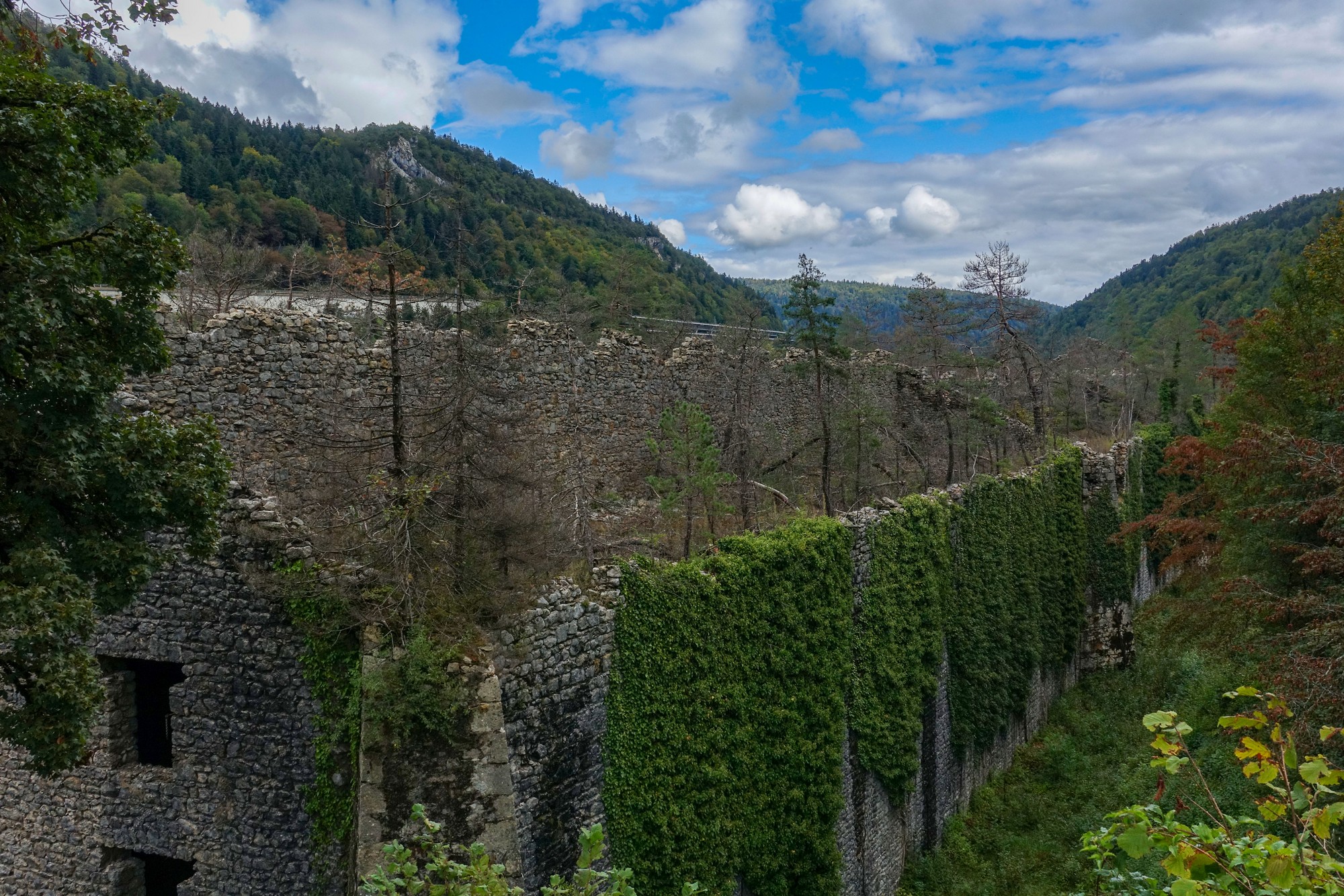
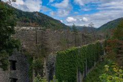
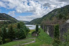
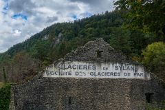
To my left, through the trees I saw a lake, beyond which was a huge derelict building, being overgrown by nature.
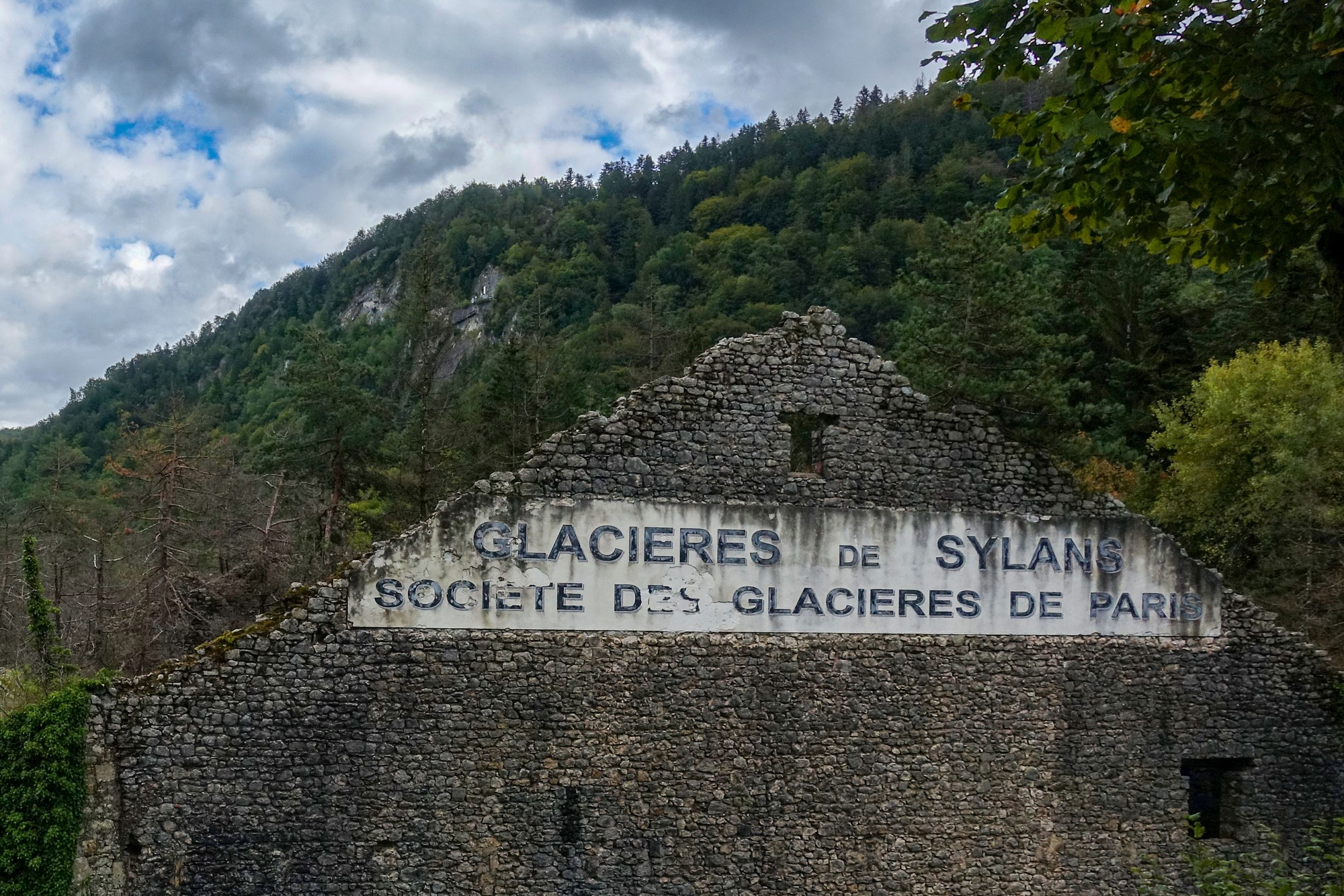
The building turned out to be an old ice factory, Les glacières de Sylans, where ice from the lake would have been chopped into blocks and stored to be transported around the country. This was the age before electric refrigeration.
A mile and a half later, I reached the commune of Les Neyrolles, where I had originally planned to climb to the Col de Colliard, but, as mentioned above, the road was closed.
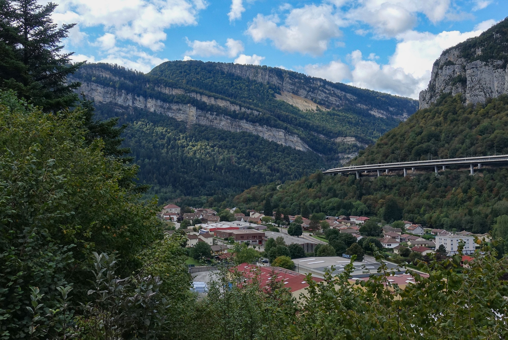
So I had been expecting this, and now I started on my seven-mile detour to reach the col from the other side. The road climbed steeply away from Les Neyrolles, and I was soon looking back onto its rooftops
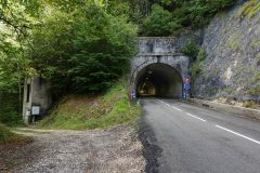
Another mile or so at 7% led to le Tunnel du Peney.
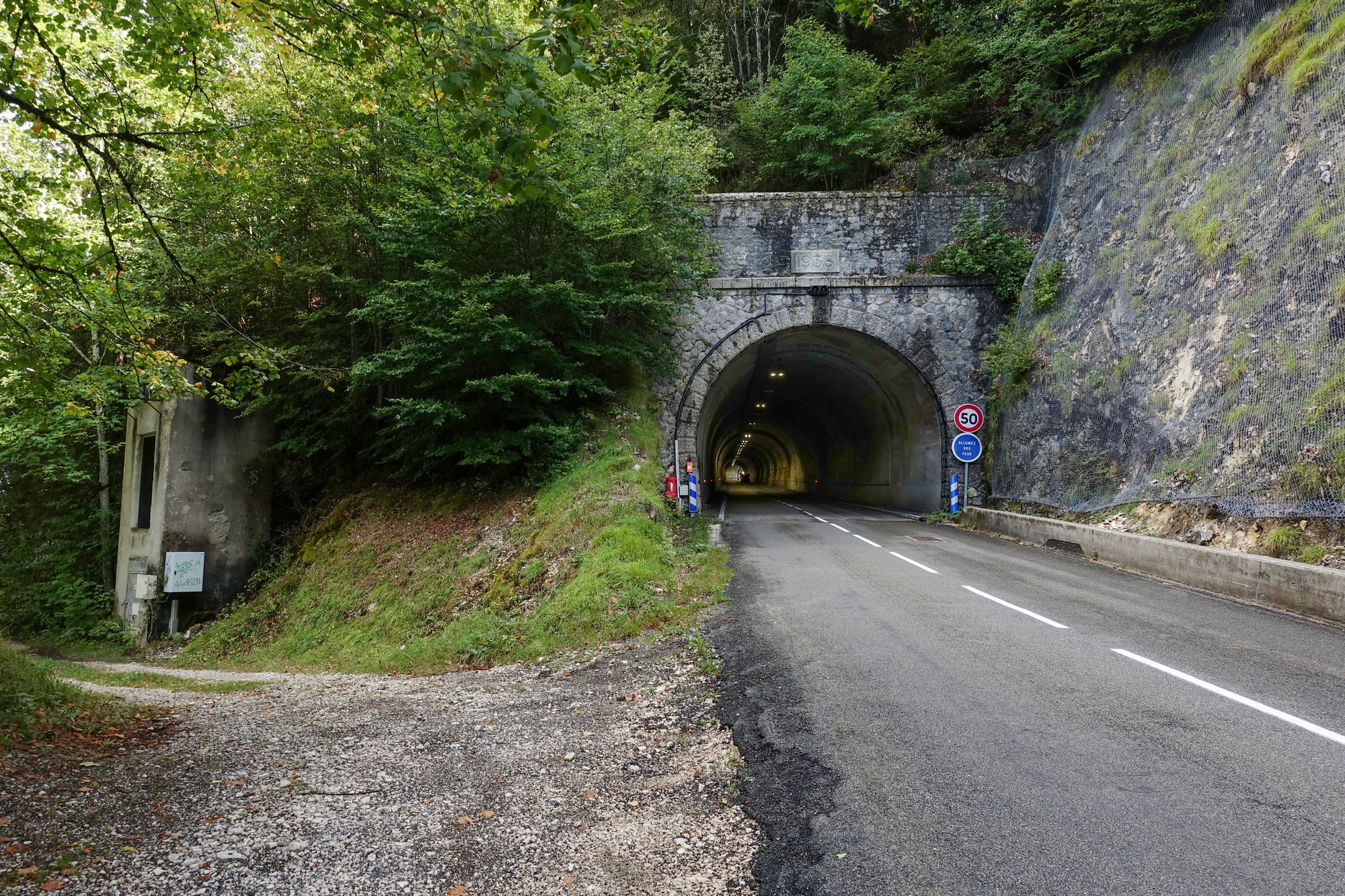
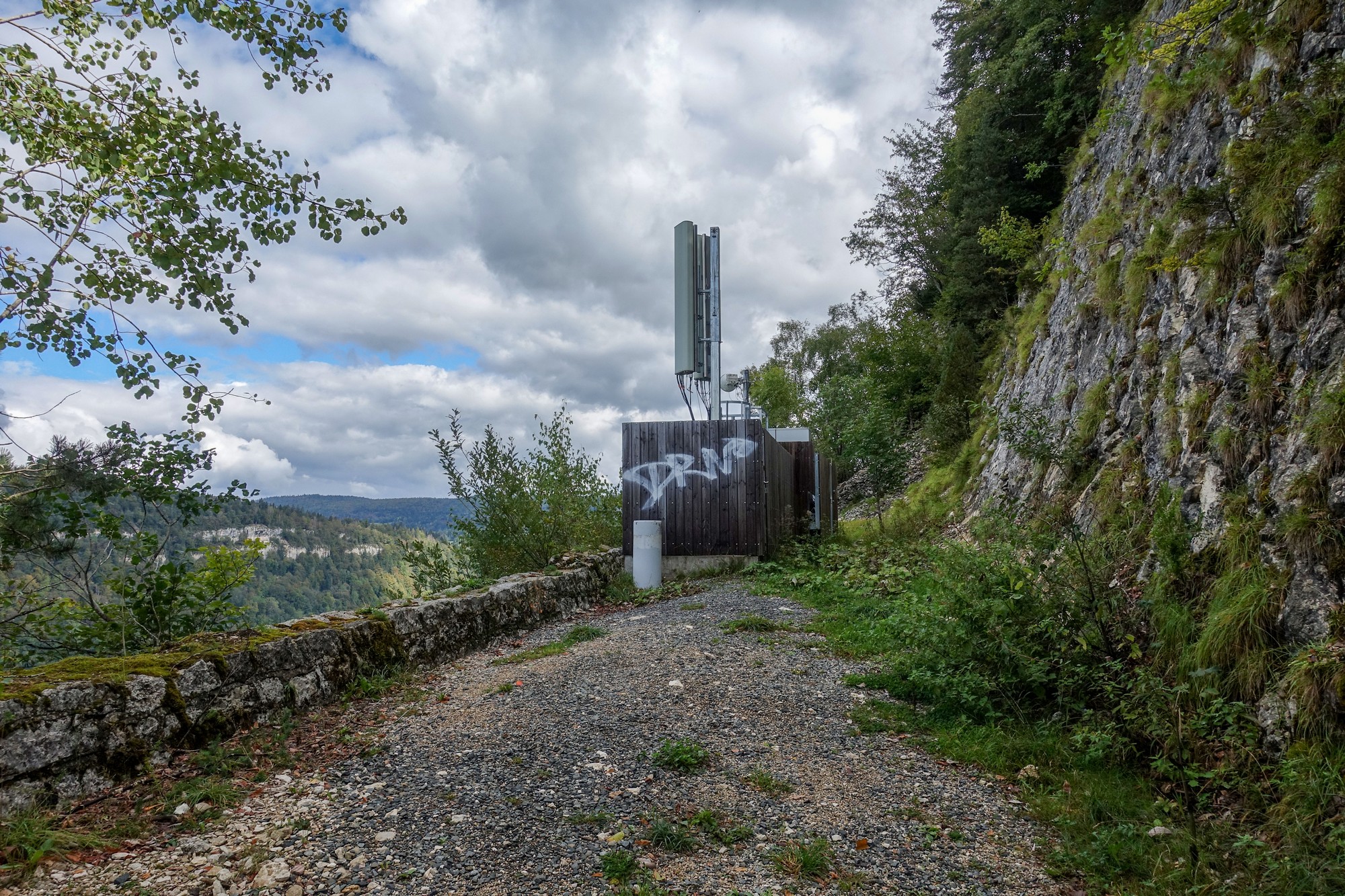
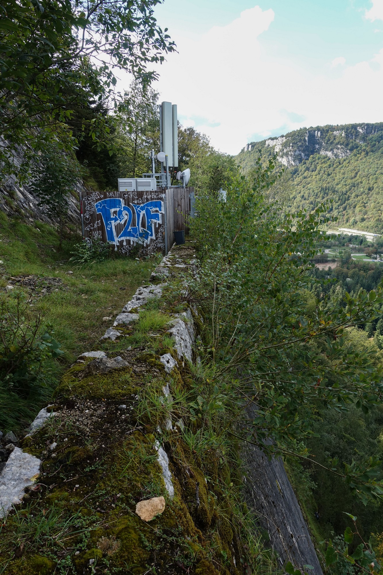
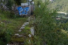
There was an inviting-looking track to the left. I thought it might be the old road, although the tunnel has been there since 1938. I investigated. The track led to a balcony on the side of the hill, with a low wall guarding a sheer drop.
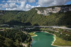
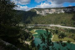
There was a spectacular view over Lac de Sylans and le Viaduc de Sylans (Autoroute des Titans).
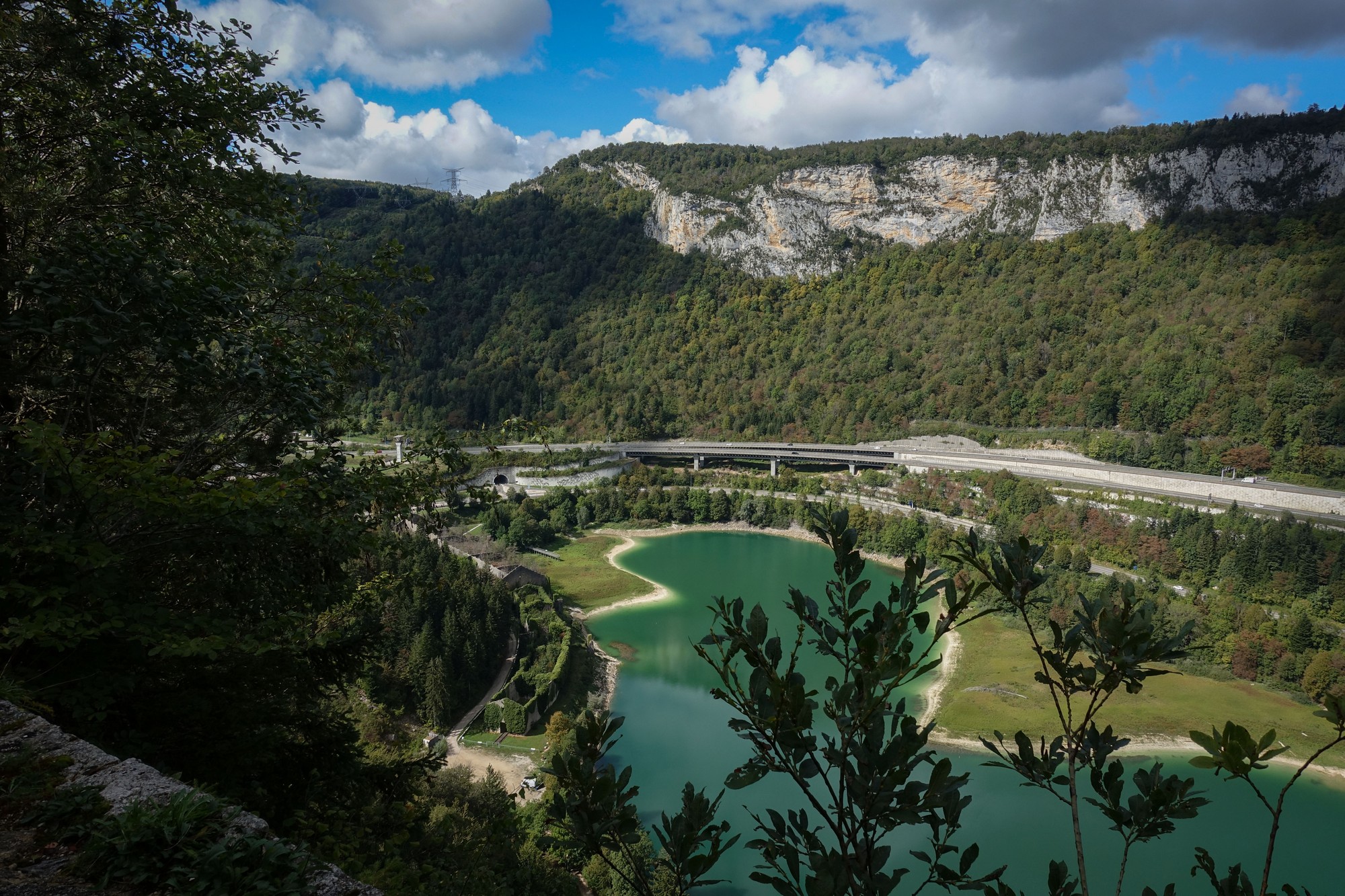
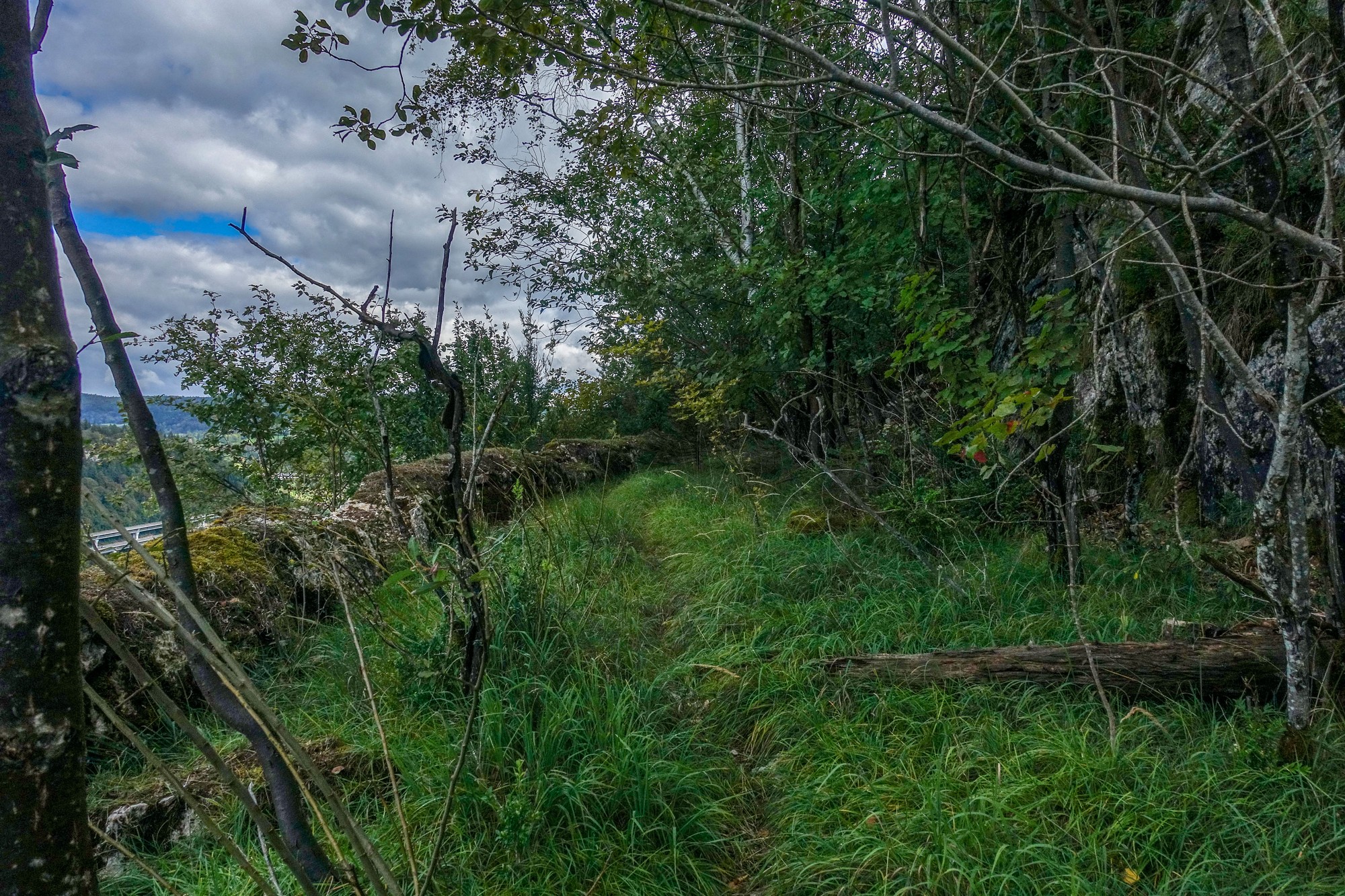
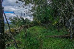
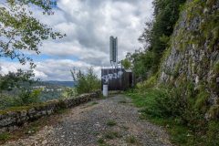
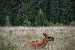
I walked past the telecoms aerials to see what was there. There was a slightly better view, but it started to get very overgrown further on. I could see a trail through the grass, possibly created by an animal.
If the road to the col hadn’t been closed I wouldn’t have come on this detour and would have missed the viewing point. So that little unexpected excursion acted as compensation for the road closure.
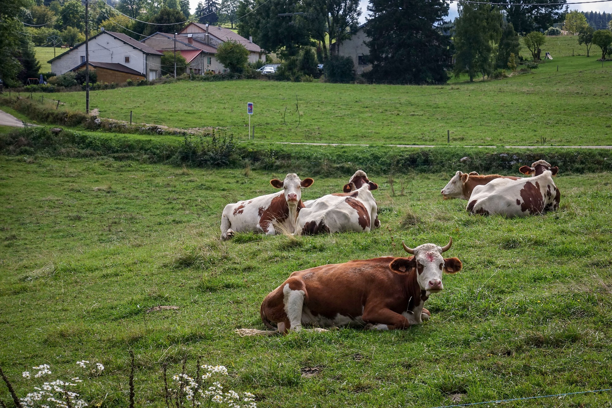
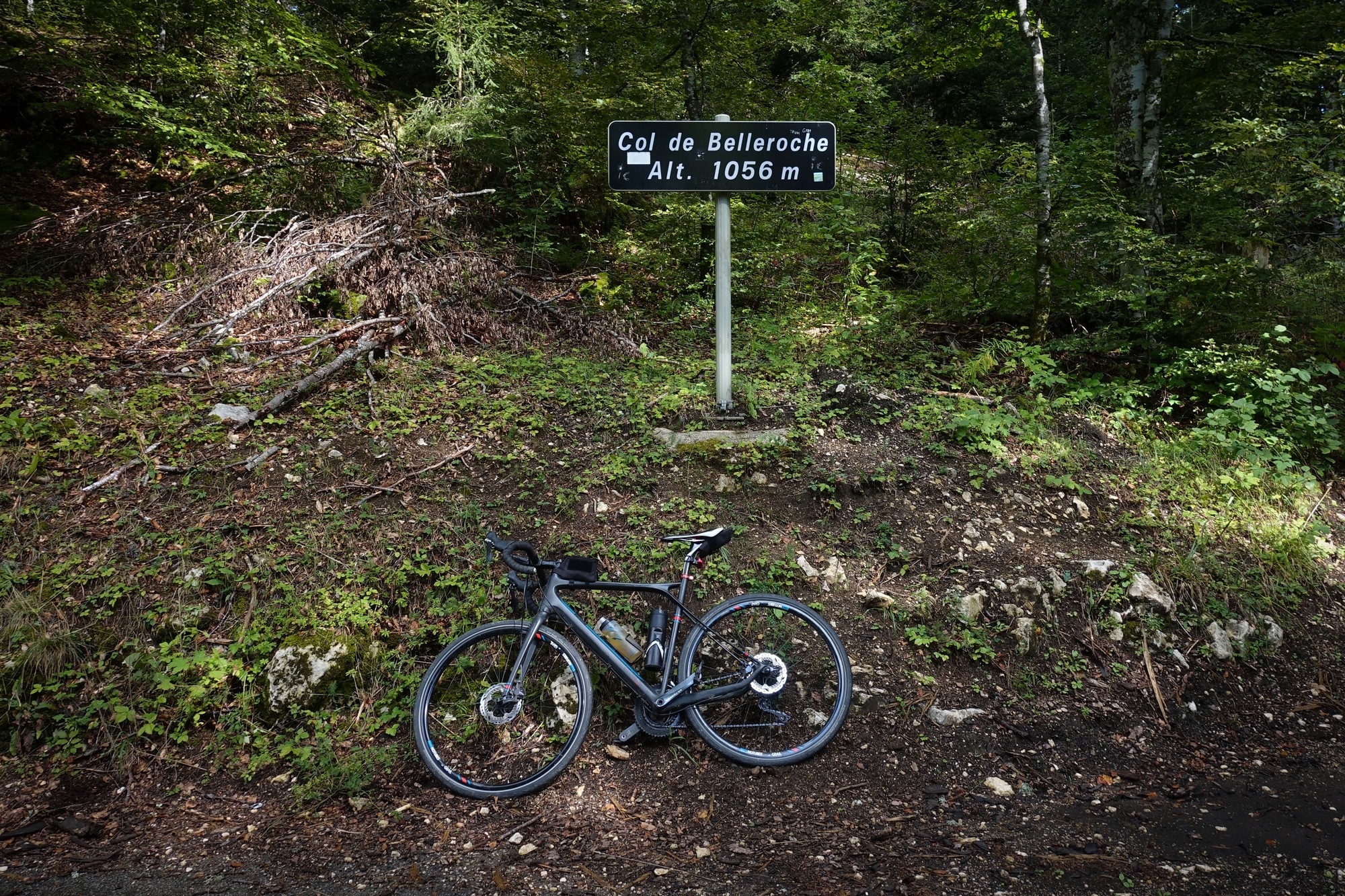
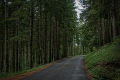
Once through the tunnel, the road continued to climb for five miles through a mixture of forest and pasture, to the Col de Belleroche.
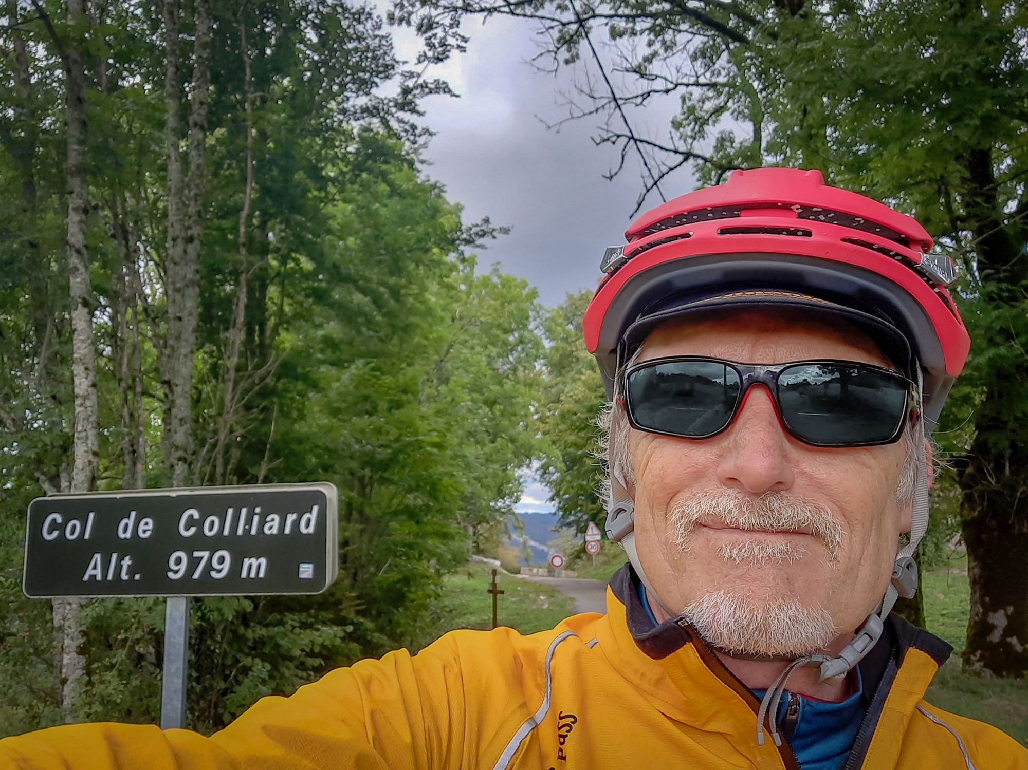
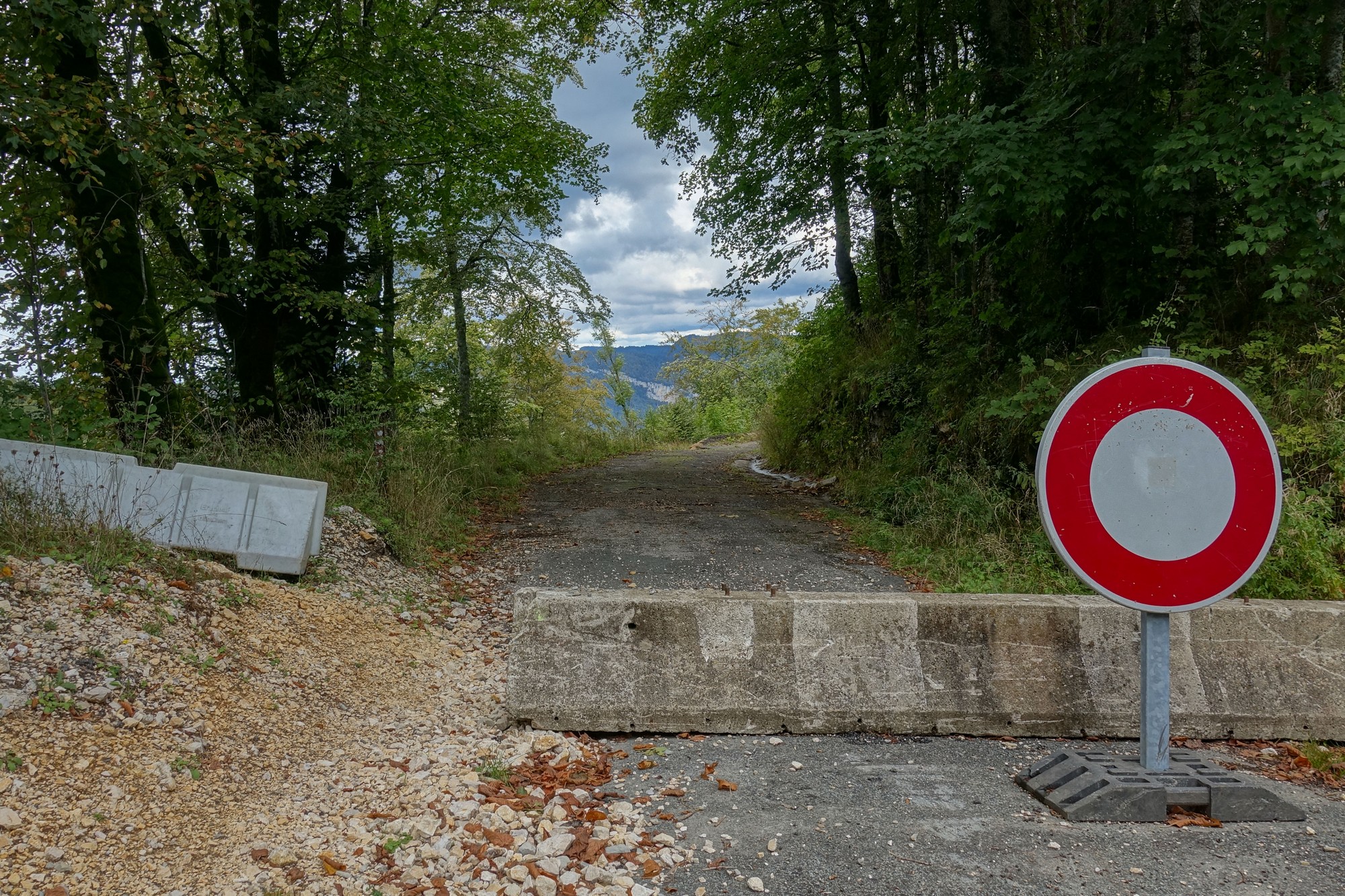
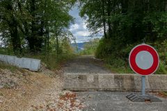
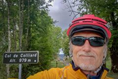
Then it was a slight downhill to reach the other side of that roadblock at the Col de Colliard
The road beyond the block looked like it hadn’t been used for ages. I don’t know why I didn’t at least go and have a quick look round that first bend. Maybe I was too cold. I half-wished I had ignored the ROUTE BARRÉE sign I’d seen in Les Neyrolles and attempted that road from the other side. But then I might have missed that balcony with the wonderful view over the lake. You can’t have everything!
I had to now retrace my steps back to where I’d turned off my course to visit this col. The route headed south as I collected Golet Comment and Golet Géla on my way to Col de la Cheminée. (The word “Golet” is another name for col, used mainly here in the Jura).
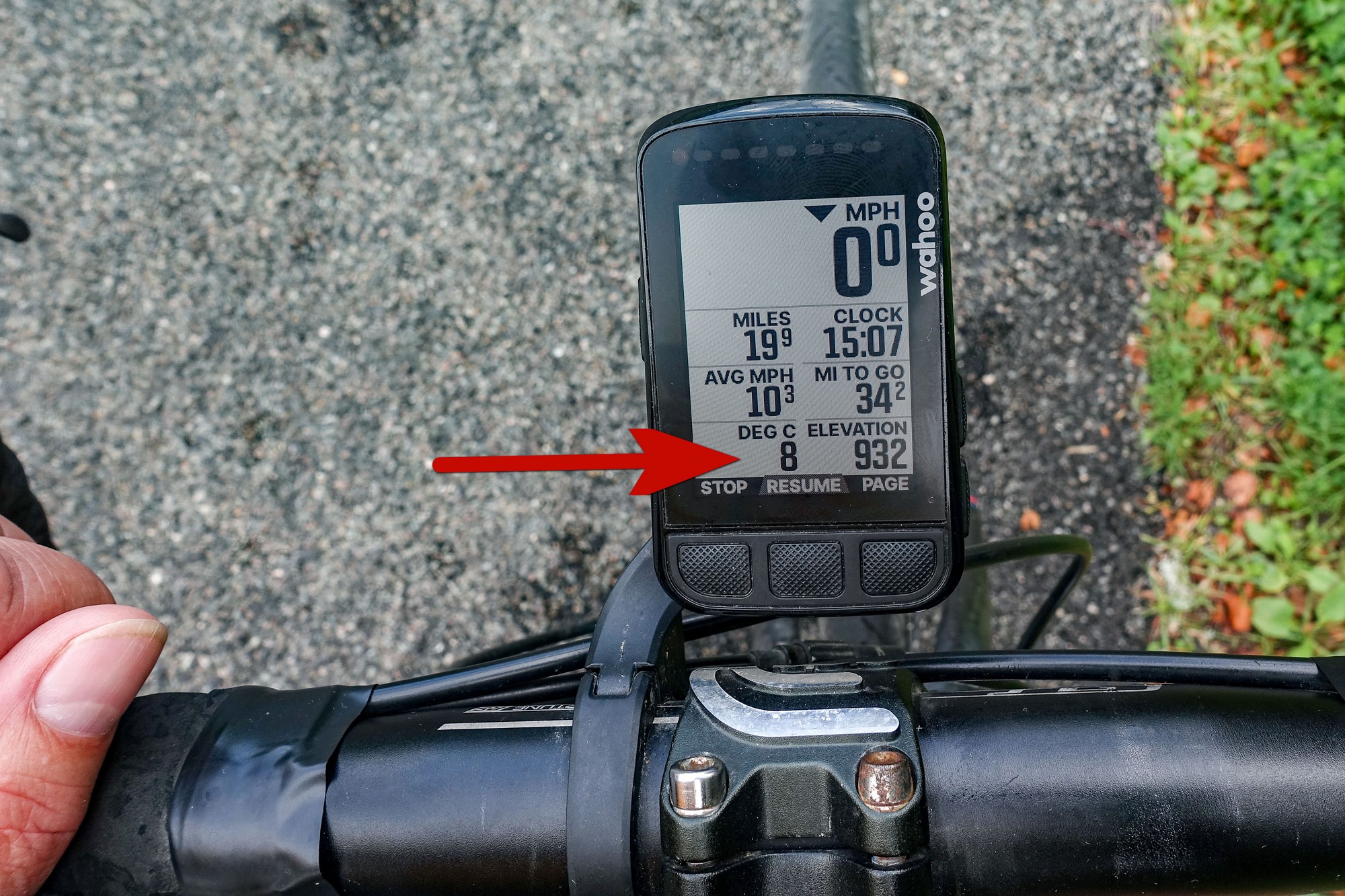
It was too cold and grey for me to really get into this ride. The weather had predicted 30% cloud cover, but it was more like 95% I’d say. And the promised 12ºC never really came about.
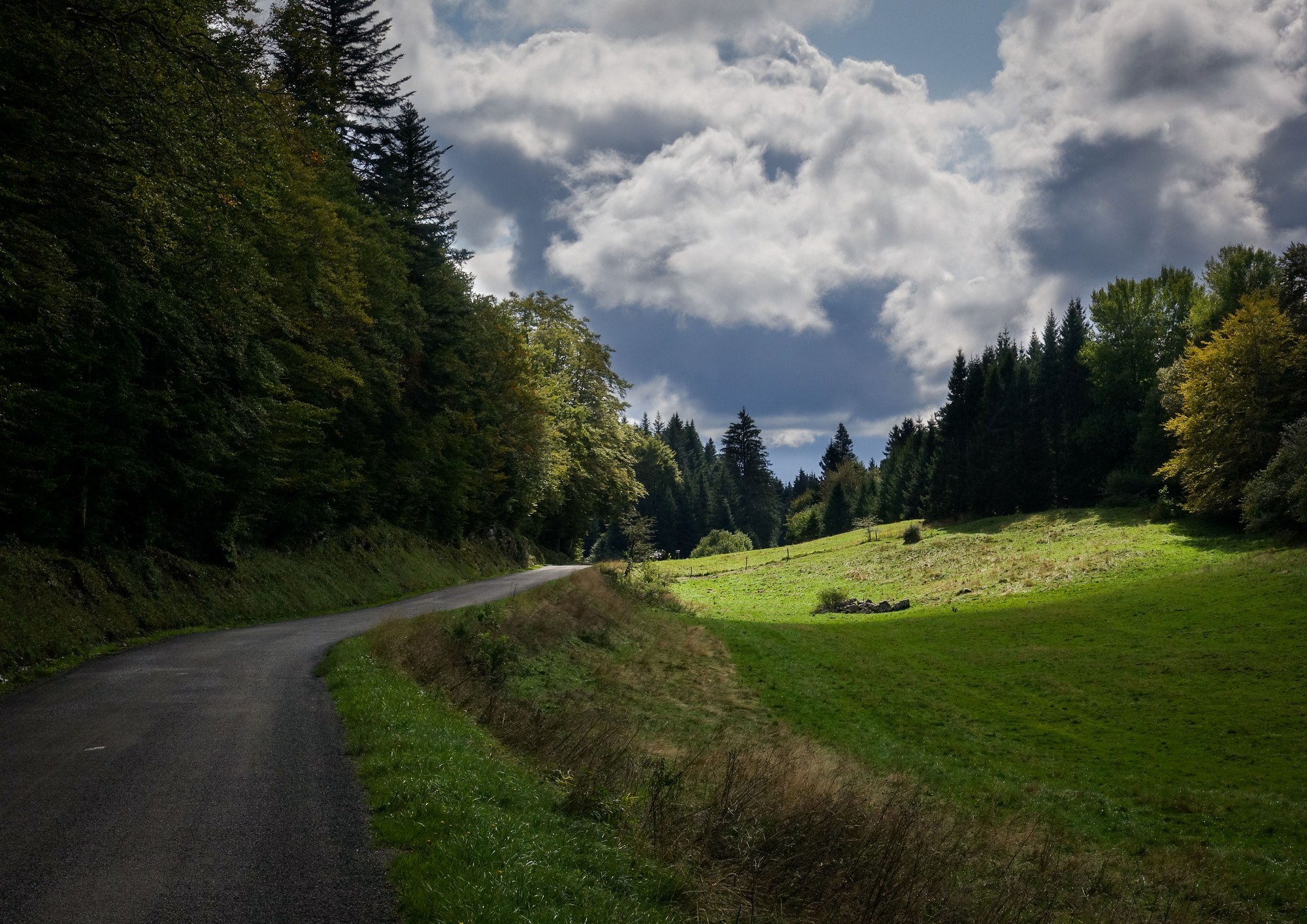
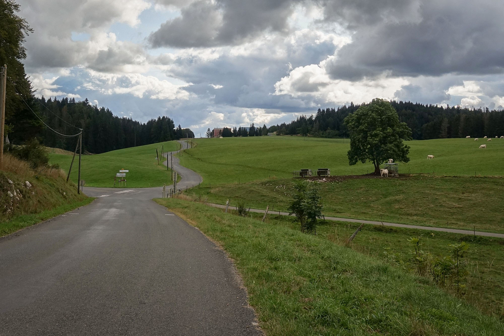
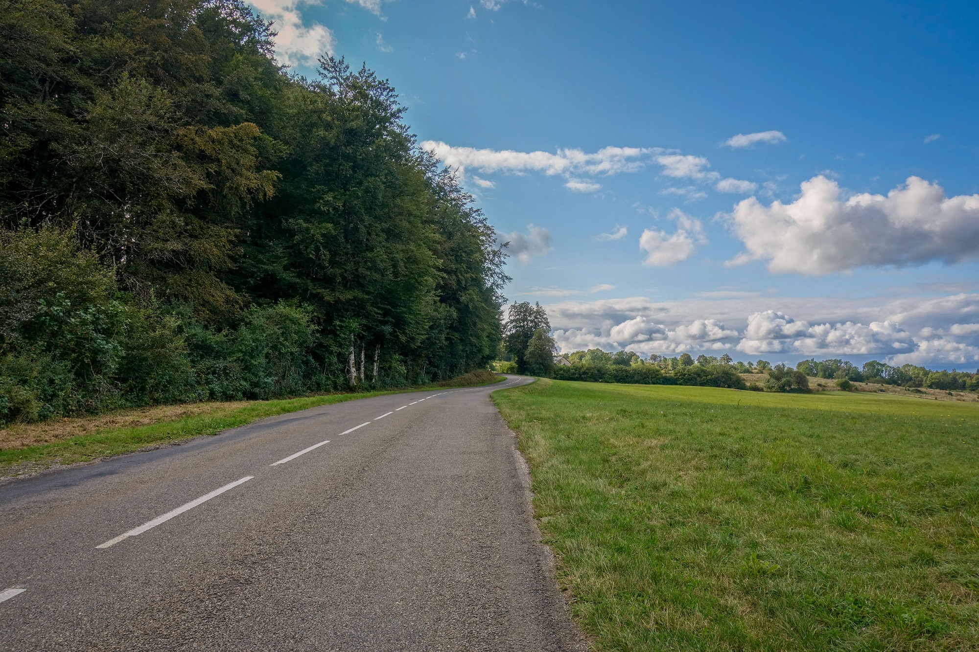
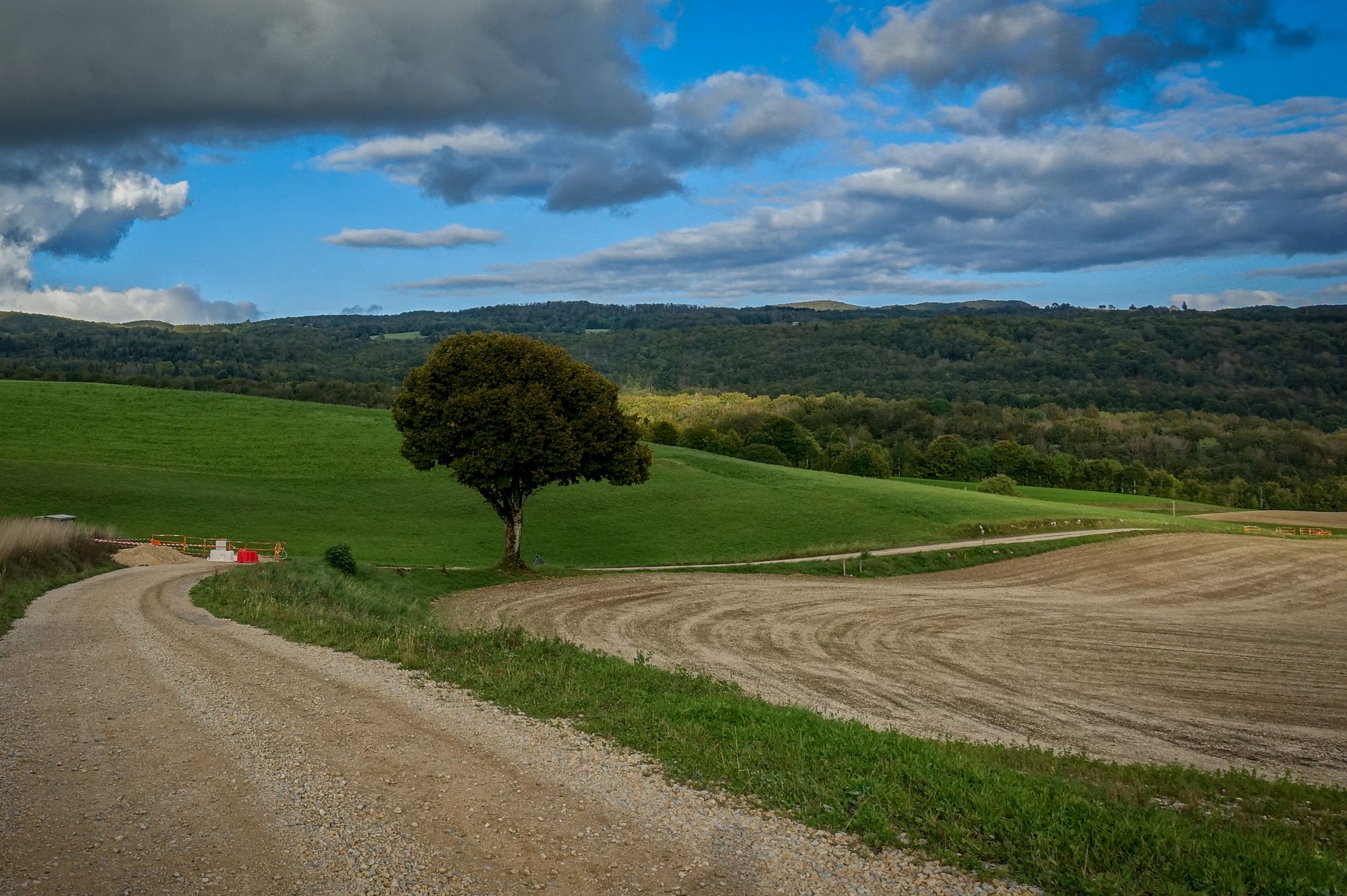
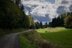
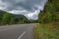
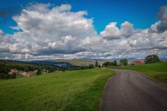
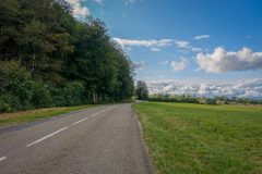
Still, the roads were perfect, the scenery wonderful, with almost zero traffic.
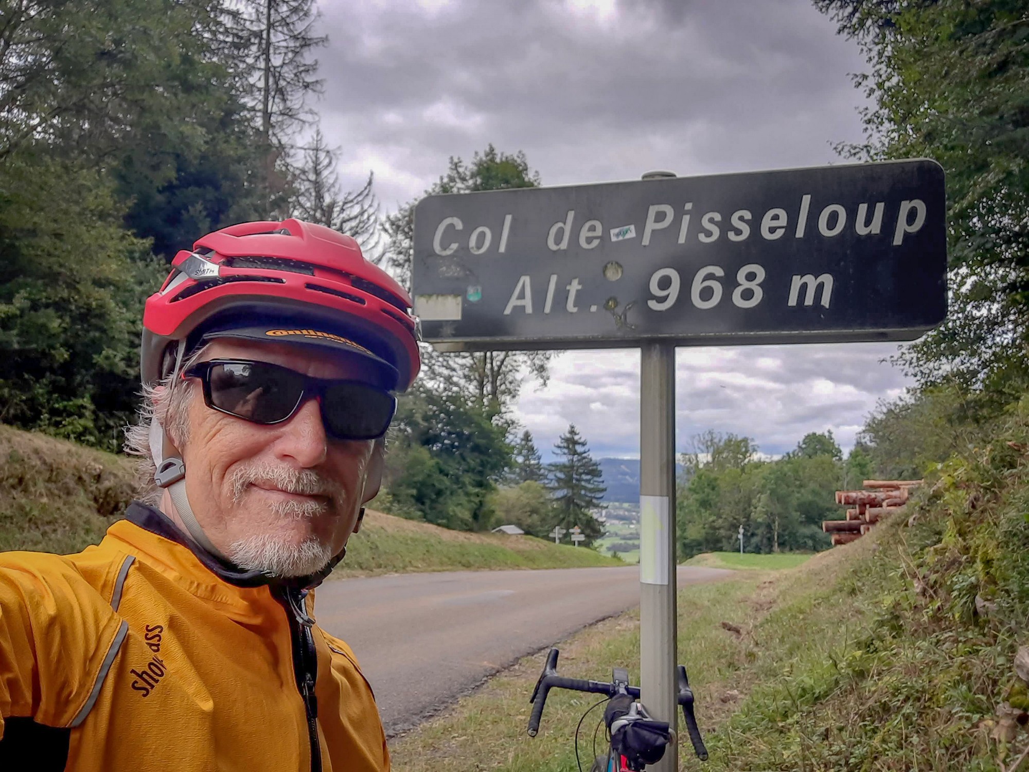
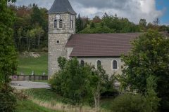
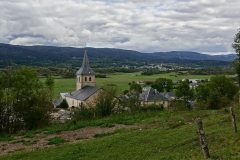
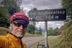
Through the commune of Brénod towards the Col de Pisseloup.
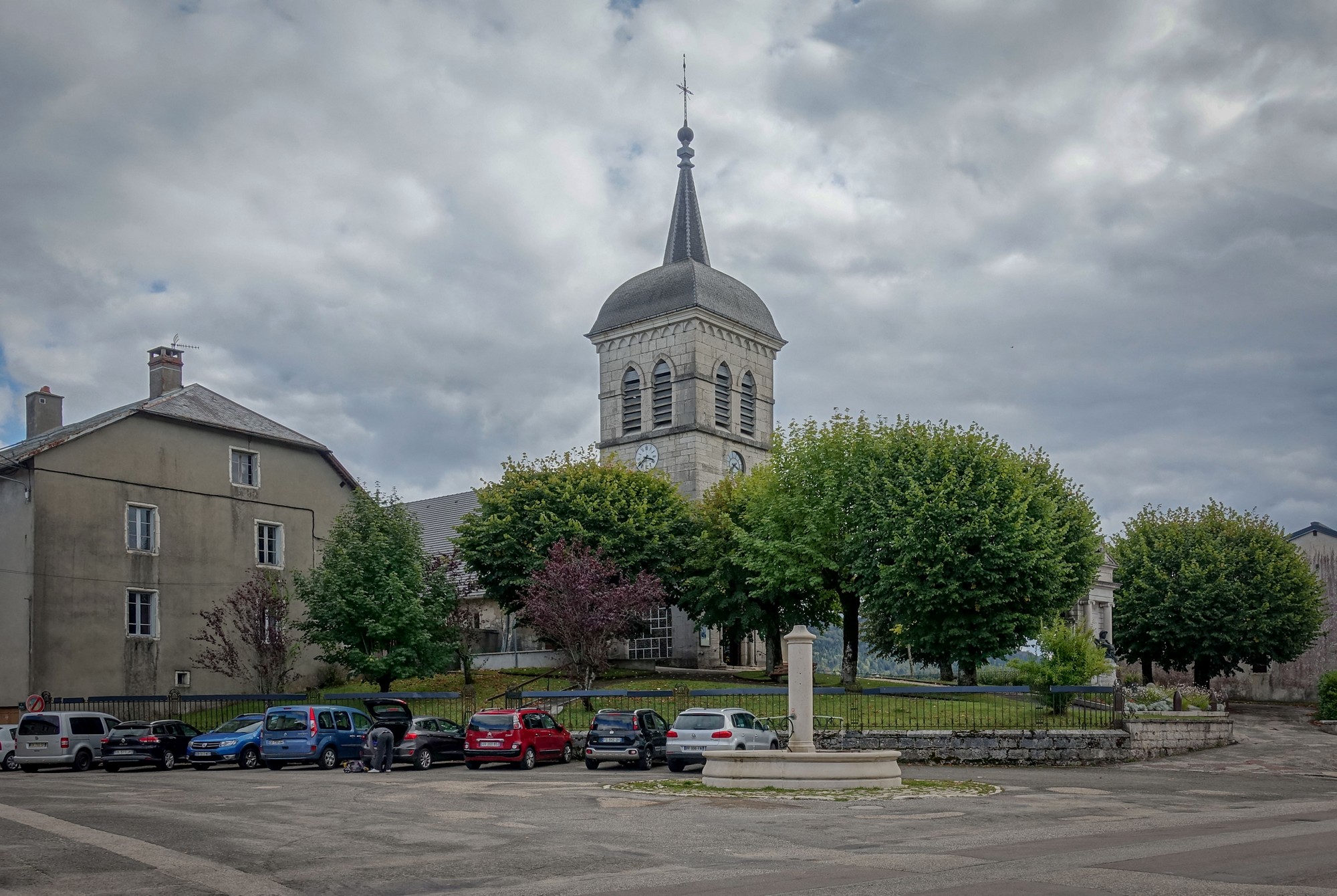
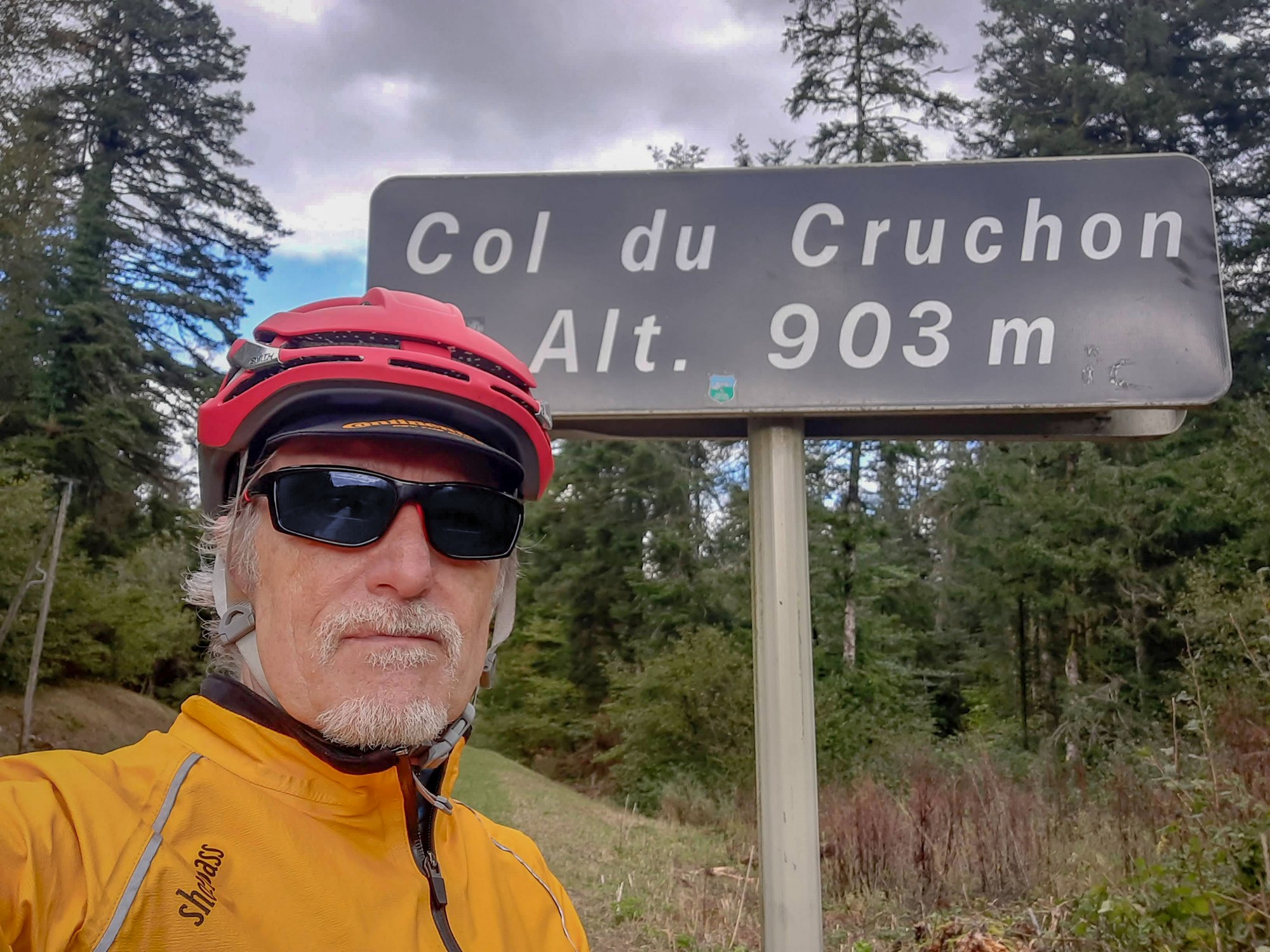
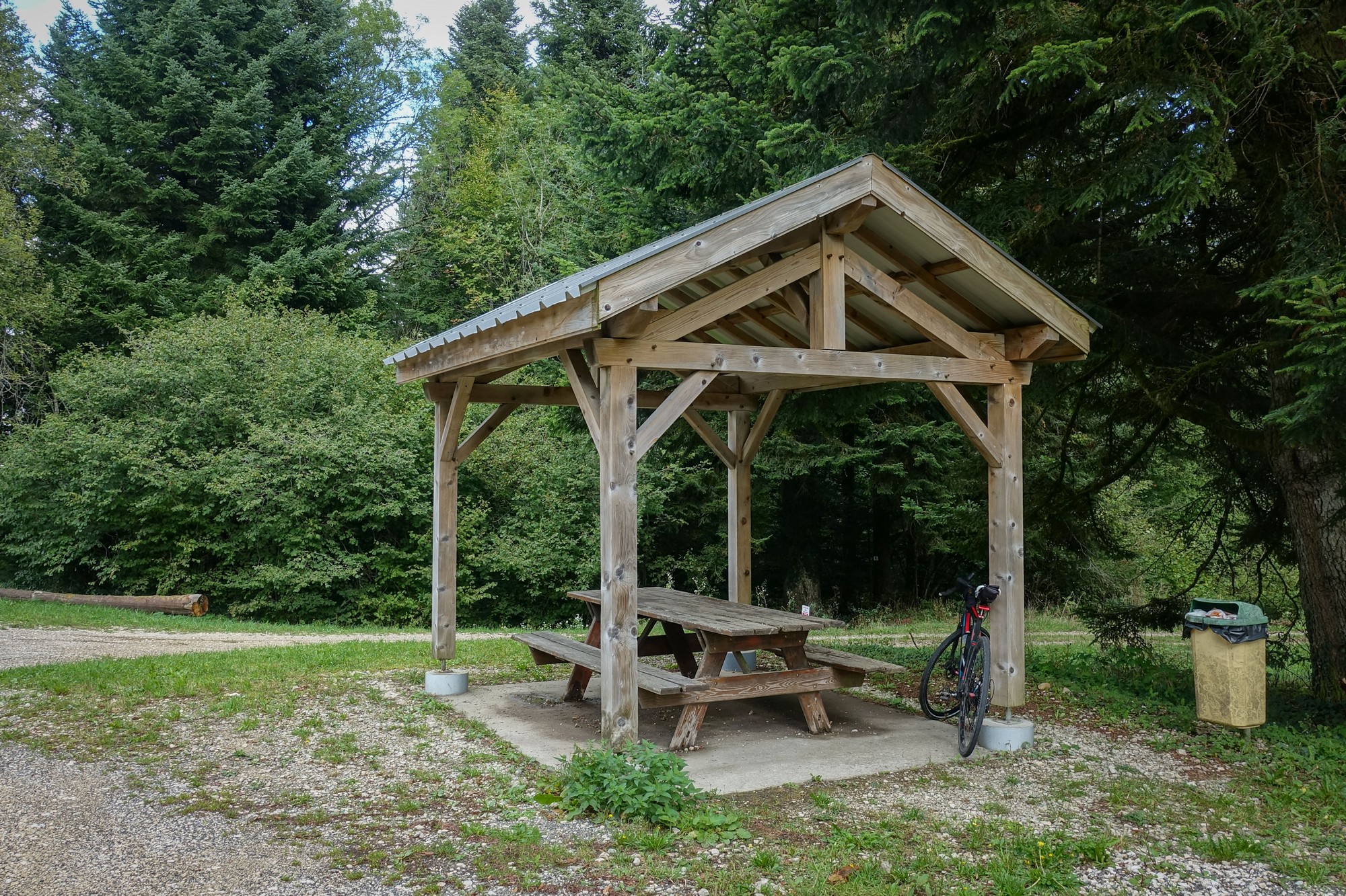
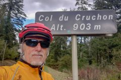
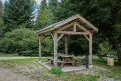
Then past the small village of Corcelles to the Col de Cruchon, where I sat at a covered picnic table and ate my HDM sandwich
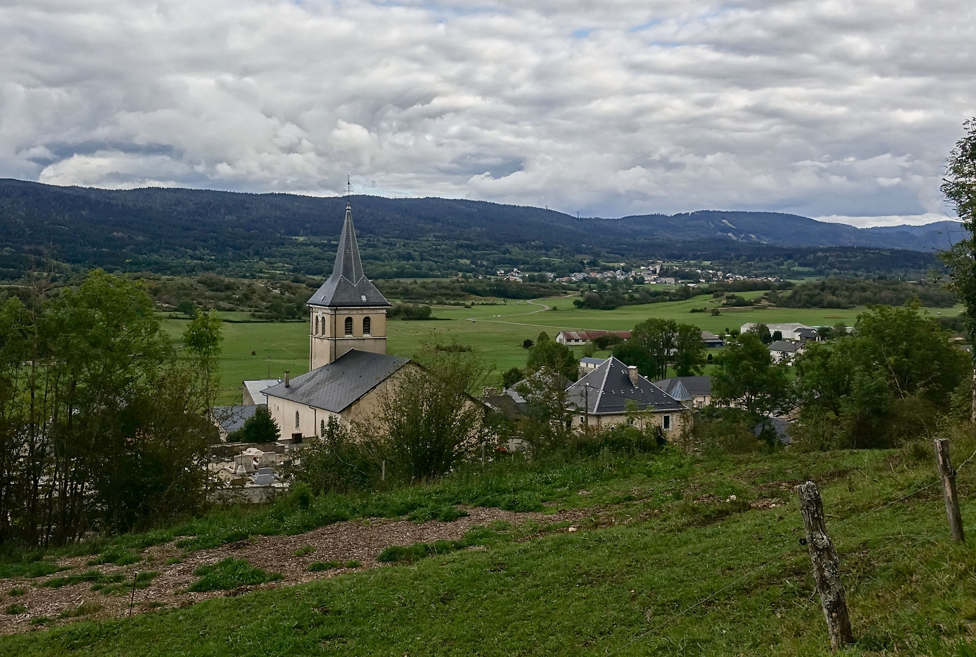
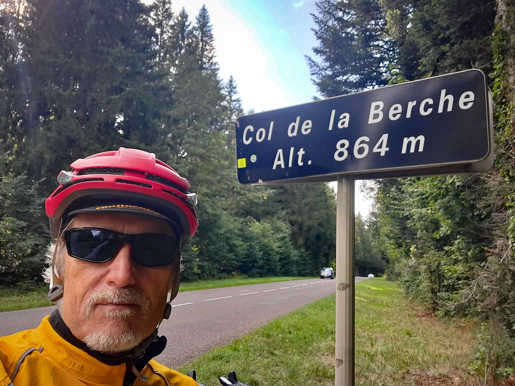
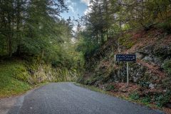
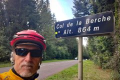
I was about halfway through the ride at this point, but still heading south, away from ‘home’. Another three miles of forest/pasture mixture led me to the Col de la Berche.
A mile later I turned briefly from my course to visit the Golet Sublet (col). There was no col sign there.
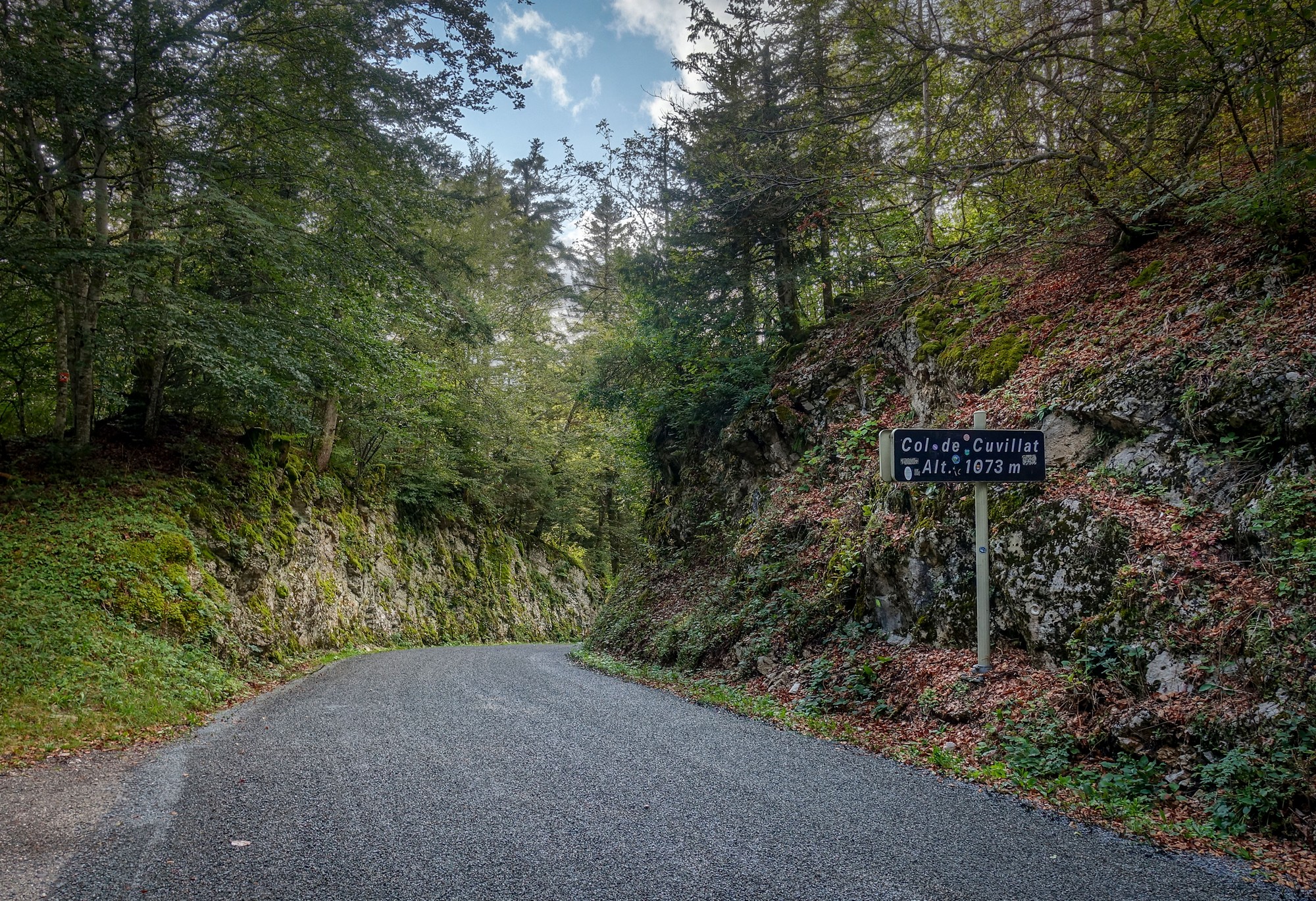
Around about this point I moved my bike’s chain to the big ring at the front – my front derailleur has been stuck for several months so I have to manually move it. It stayed on the big ring for the rest of the ride, including the steep climb to Col de Cuvillat, at the top of which my hands were actually warm, for the only time during the whole ride.
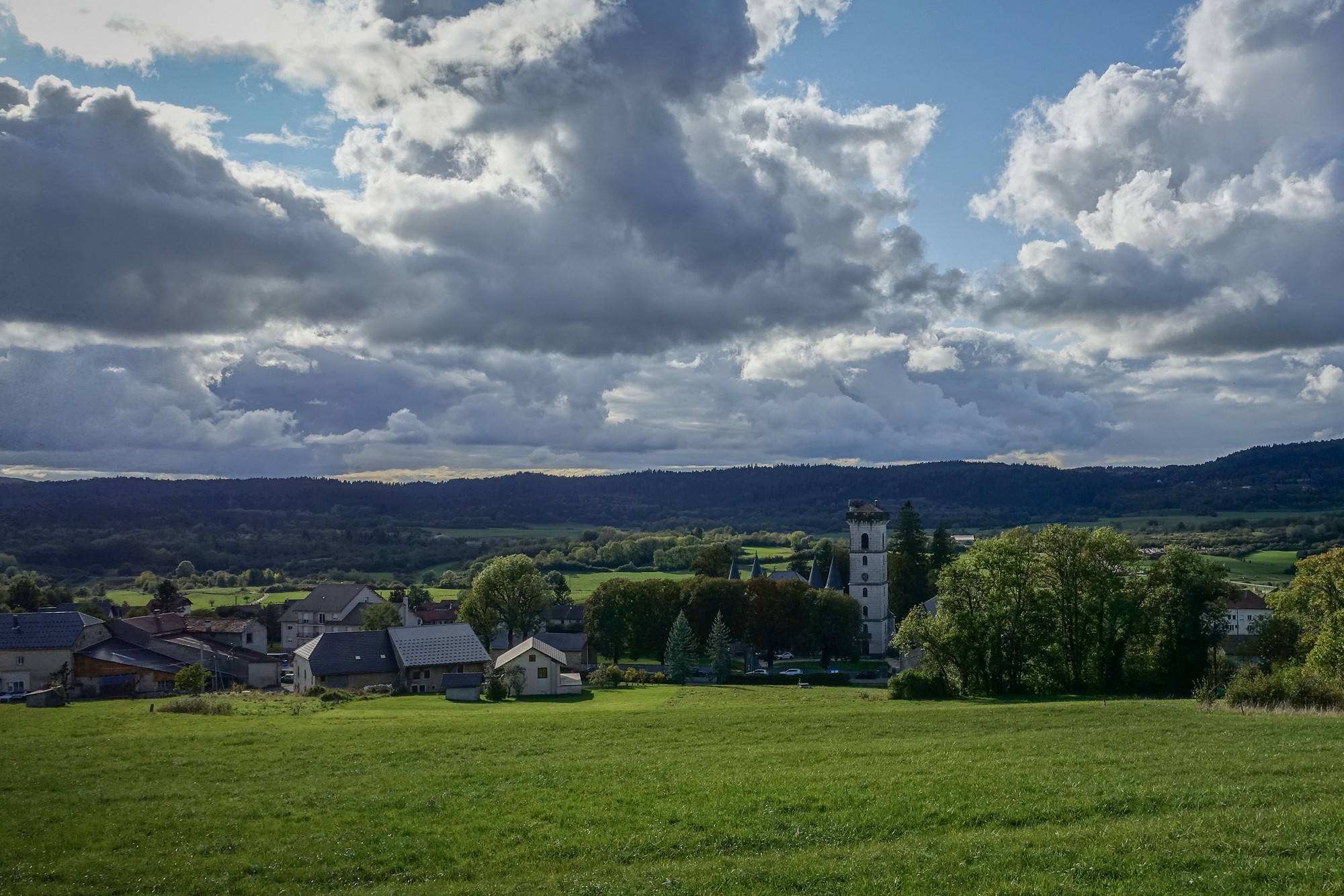
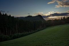
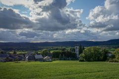
Despite the fact that there is blue sky in some of these photos, my notes made at the time described the day as cloudy and dull. In fact the sun is rarely shining on or near me in the photos. That, and the low temperatures, didn’t motivate me much.
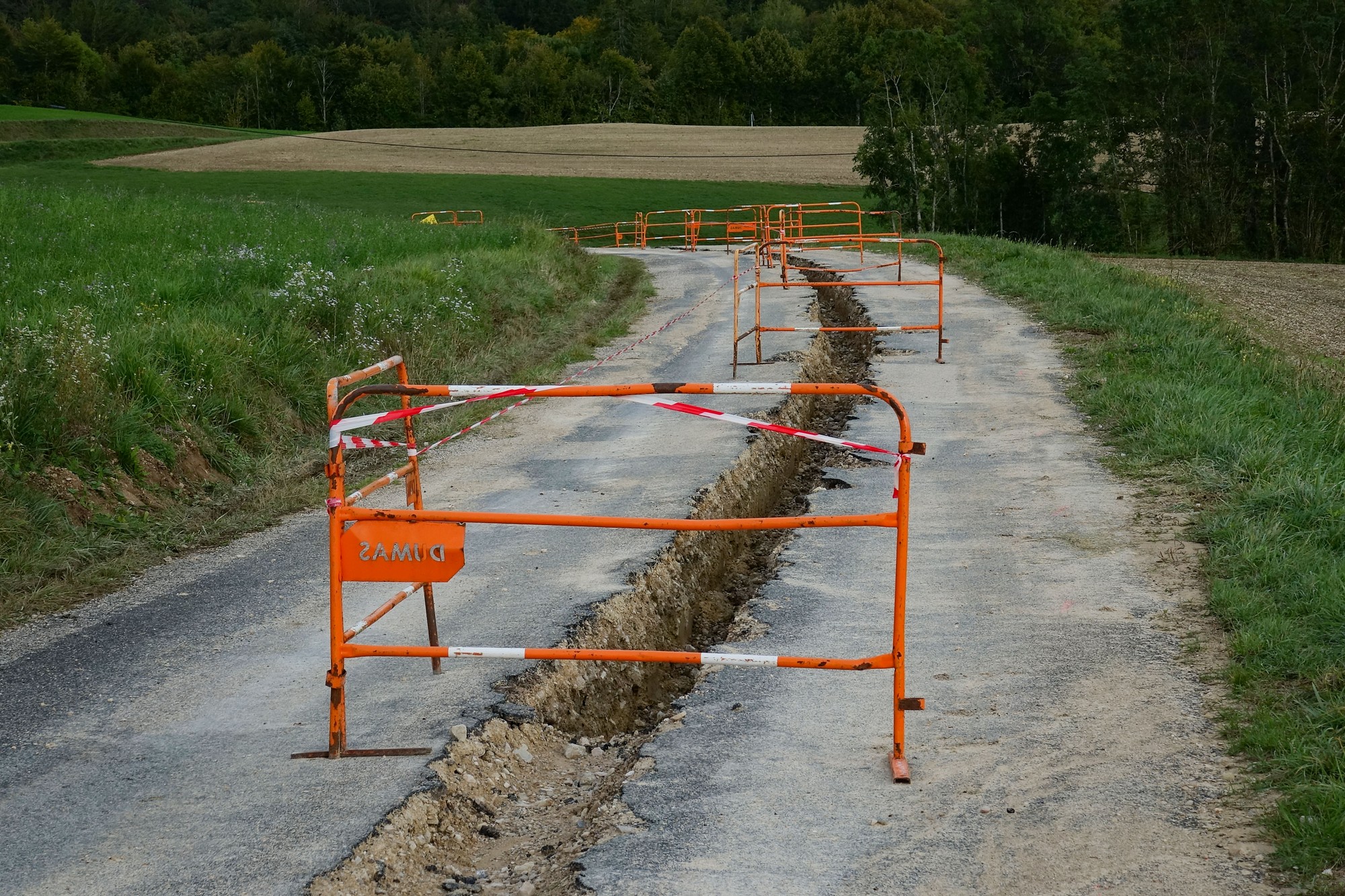
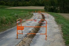
It was another ten miles to Col de Bérentin, during which I came across another ROUTE BARRÉE, but this time it was easy to ride past the repairs.
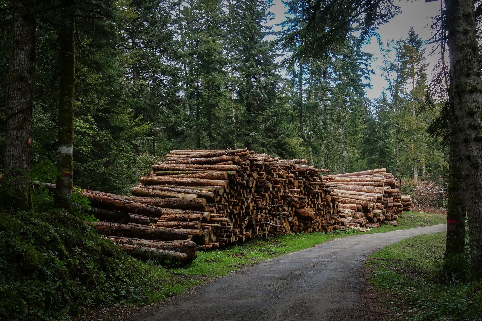
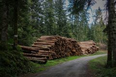
I’ve seen lots of logging activity here in the Jura.
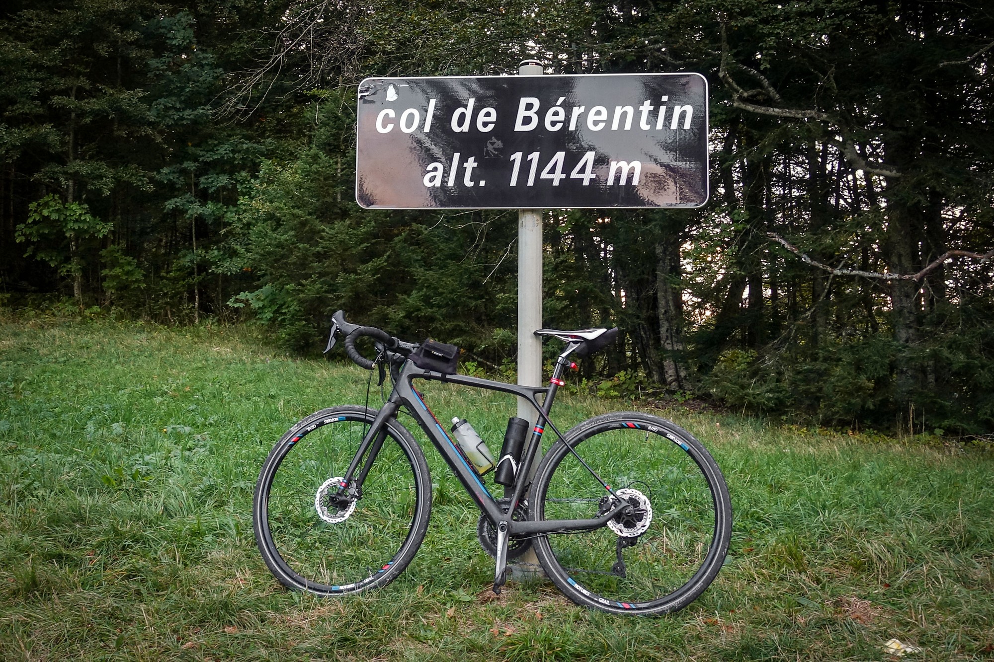
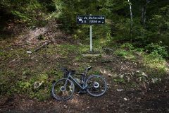
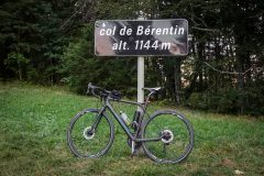
Eventually I reached the final and titular col, Le Col de Bérentin, at around 7pm, by which time the temperature had dropped to 4°C.
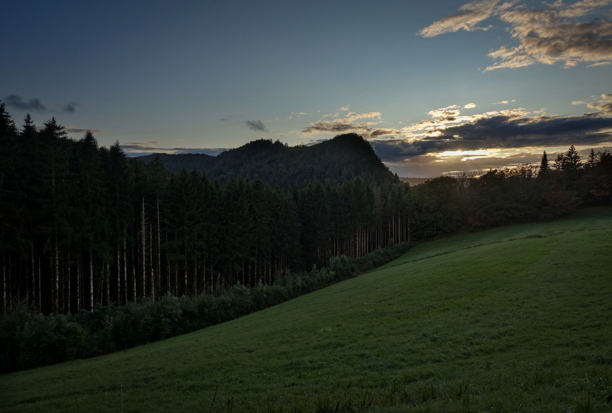
All that remained was three and a half miles of downhill back to base.
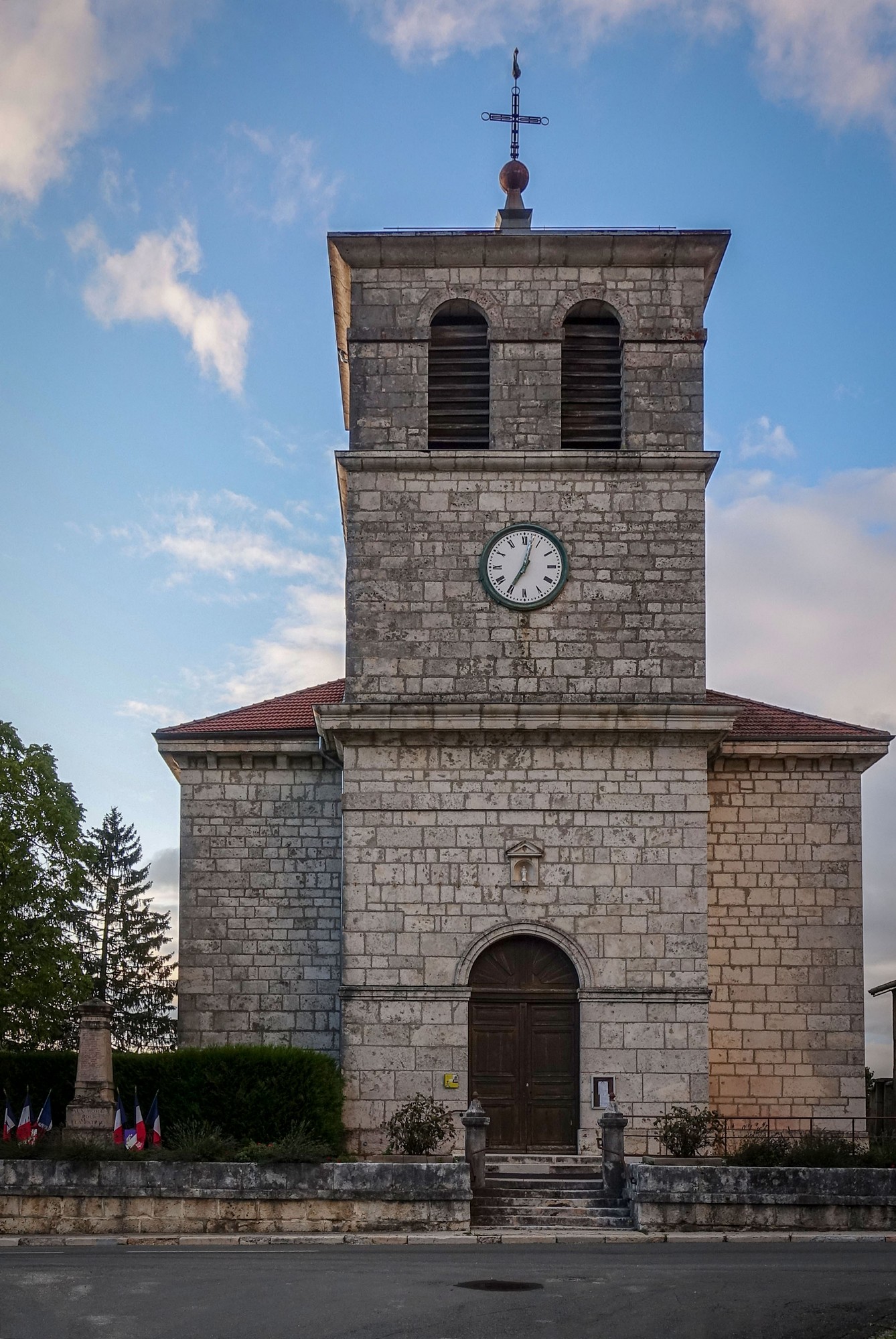
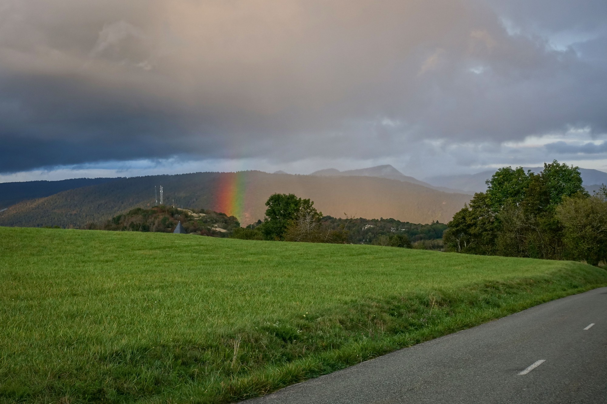
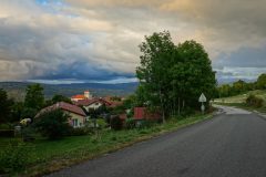
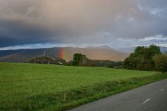
As I approached my van, there was an amazing blob of colour on the horizon. It looked like the end of a rainbow, but without the rainbow itself. It wasn’t raining so I can only assume it was being caused by a farmer spraying their crops or something? Typically it was much more impressive in real life than could be captured on film.
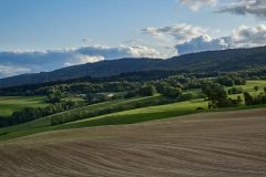
So it had been a ride marred somewhat by the weather. At least it hadn’t rained. But the route itself was lovely, with good roads rolling across the hills of the southern Jura, a mixture of forest and pasture. And, as usual, there had been hardly any traffic. I would definitely consider doing this route again if I’m in the area.
Addendum
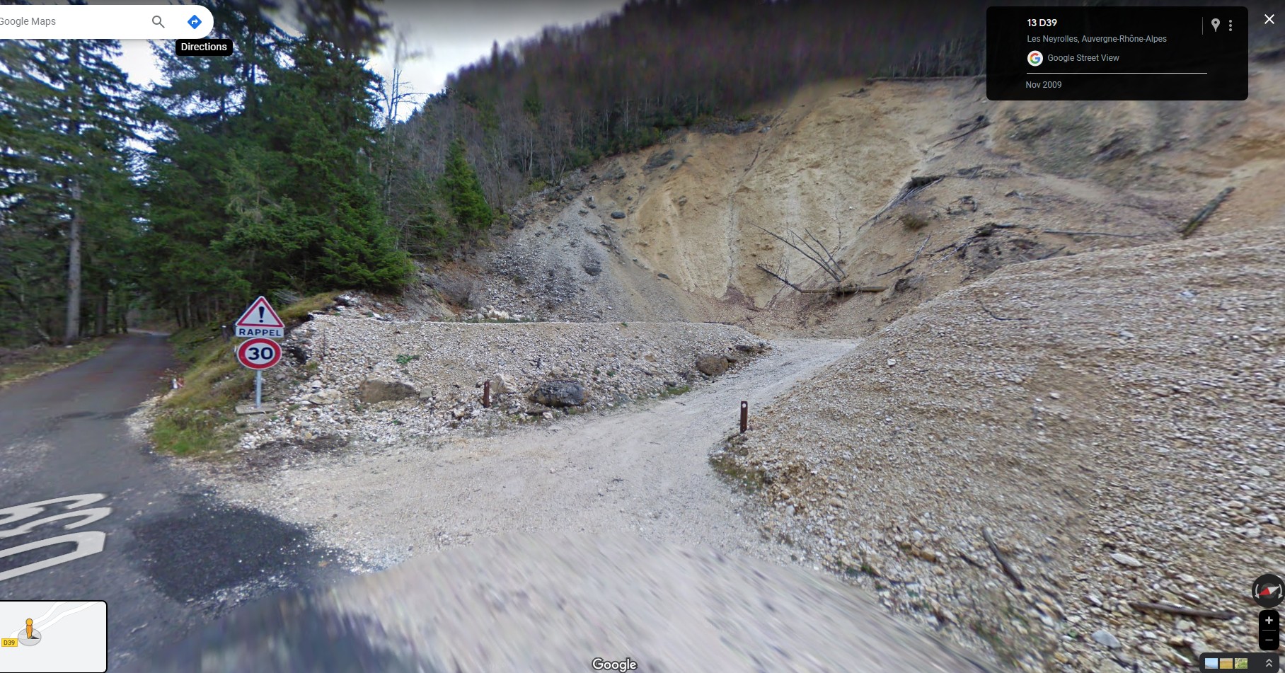
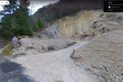
While writing-up this blog post back in the UK I re-googled the closed road, this time using the 3km mentioned on the ROUTE BARÉE sign as a guide to where the road was blocked. I found this on google streetview
That Google Streetview image above was captured nearly 14 years ago, and the road looked quite passable, despite the obvious collapse of the hillside. I can only assume that another landslide has occured since then. I’ll definitely investigate if I’m near here again.
Further reading
Fuel
Gallery
Click to enlarge / see slideshow


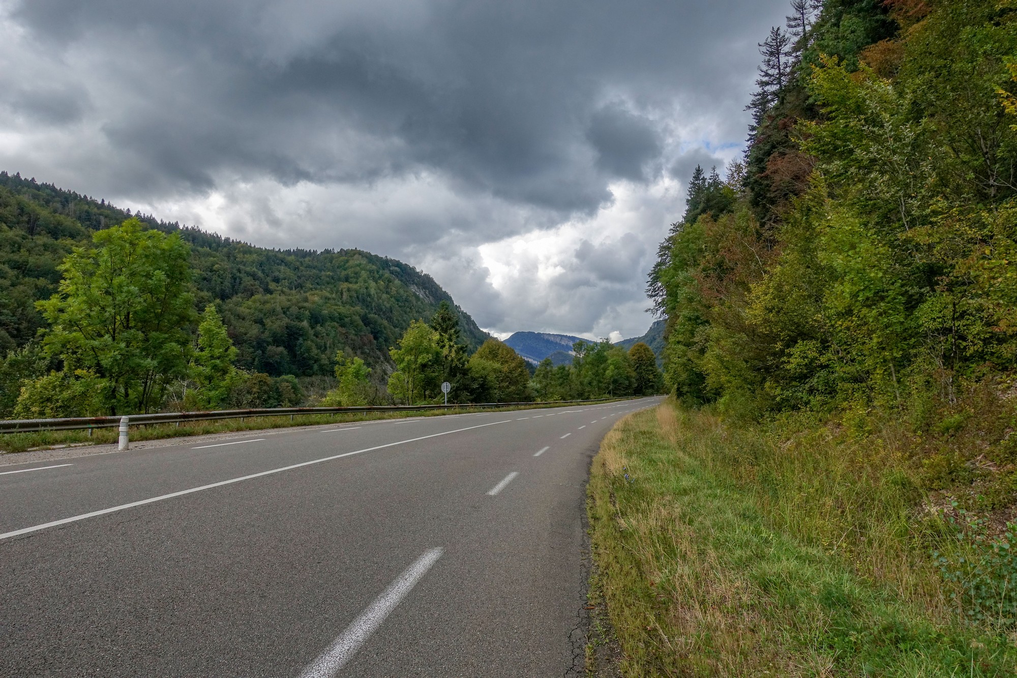
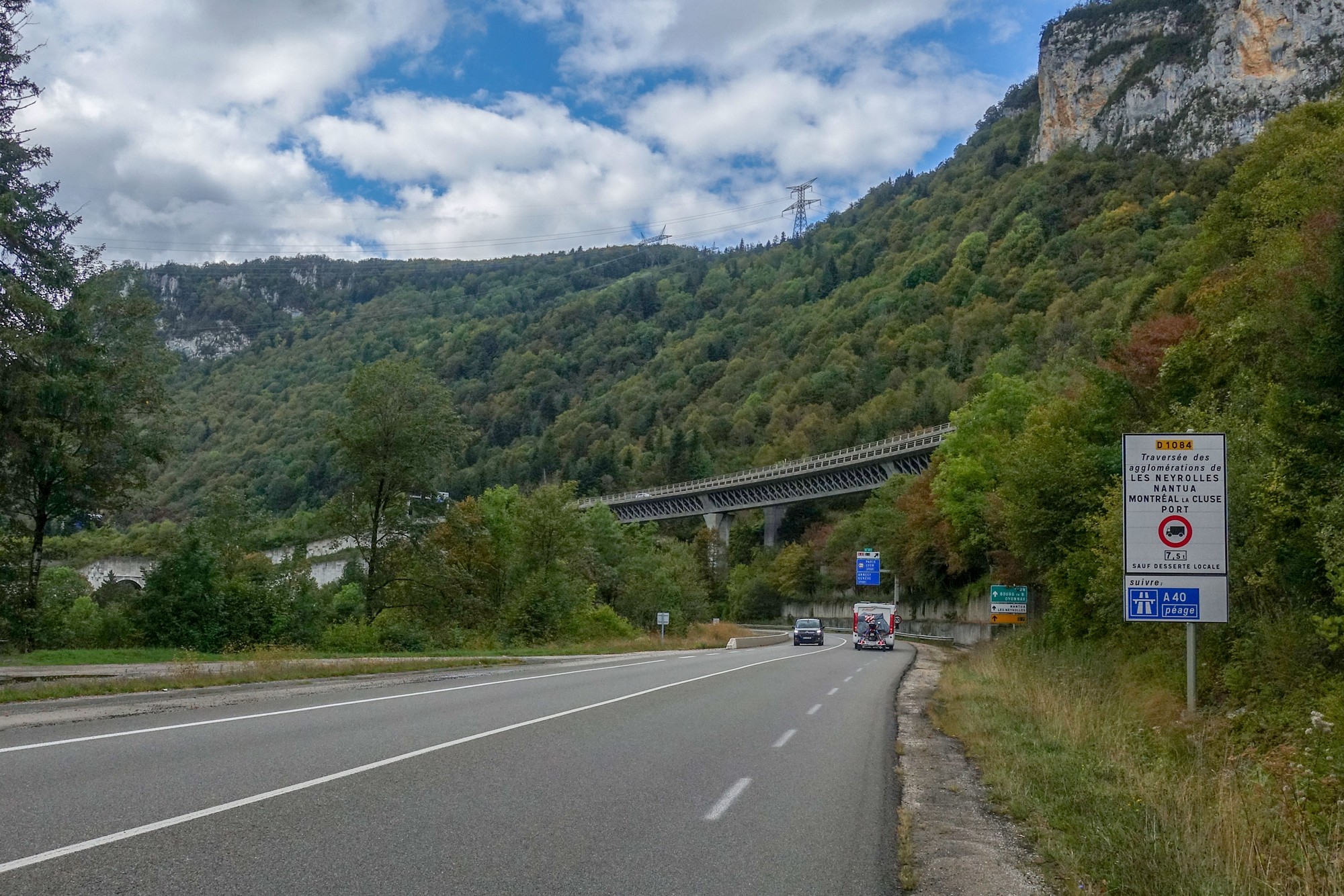










Thanks Vince for another shared adventure. I enjoy the details that you add such as your clothing, food eaten, weather, etc, as well as the informative links that you provide. Keep em coming!
Thanks Martin. The blog is as much a diary as anything else; I like to make a note of details so I can learn from my mistakes, etc