Distance: 183.1 miles. Elevation: 8553 ft
It had to happen eventually – I missed the ferry! Ironically, it happened on the only day when I had actually left my house on time! The main reason was that I had allowed too little leeway for error. I had predicted getting to the ferry three minutes before it was due to leave! Stupid! On the ride there I must have stopped at every single traffic light en-route, and the railway crossing at Aylesford was the final nail in the coffin. Just as I sprinted into Royal Pier Road in Gravesend I looked out at the pier and saw the ferry just pulling away from the dock. So, now my whole schedule would be running 30 minutes behind what I had predicted, meaning that I would likely return home later than the 10 pm I had forecast.
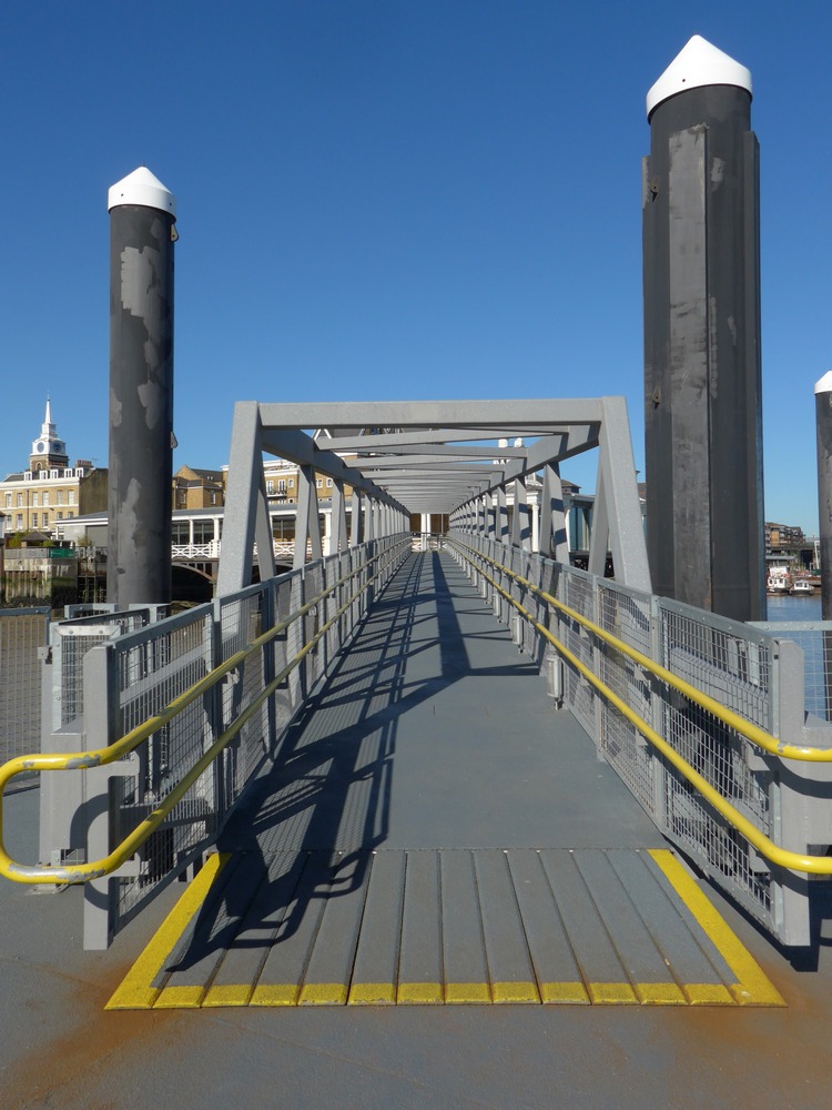
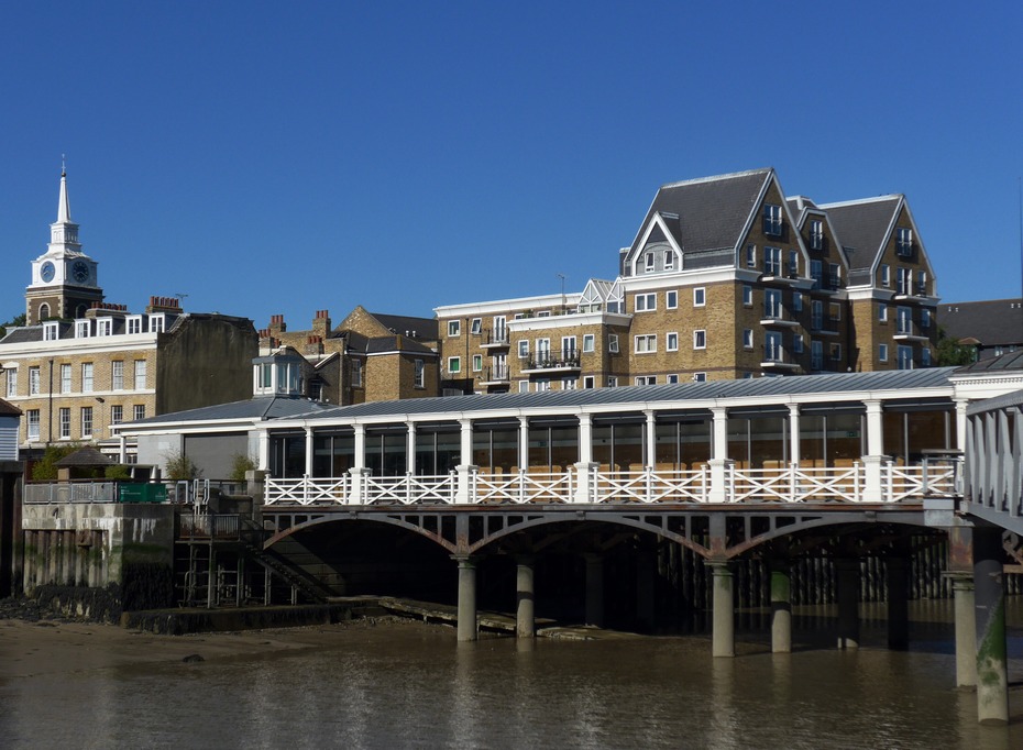
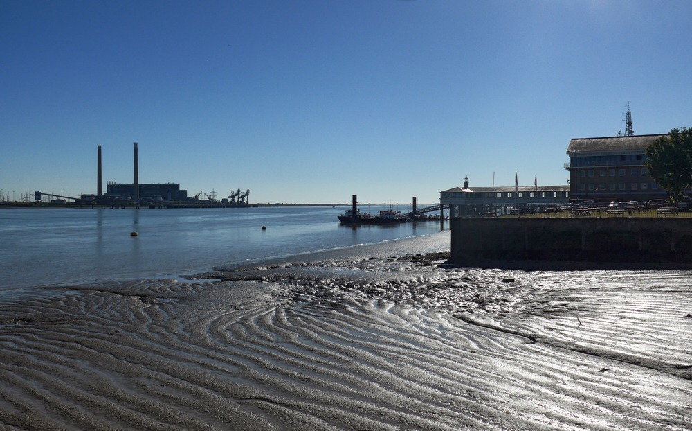
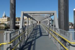
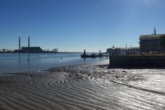
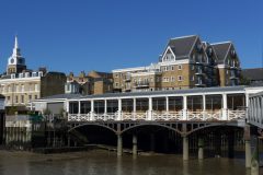
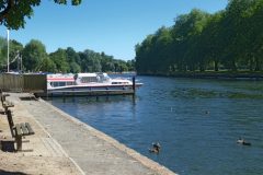
Having to wait for the next ferry gave me the opportunity to get a few photos on this glorious morning. I was also curious as to how the steel pontoon moves up and down with the tide – I assume it rides up and down the huge steel pillars that rise out of the river.
Oh, I forgot to mention the weather. It was to be the hottest day of the year so far, with a mini-heatwave forecast over the next few days, caused by warm air sweeping up from the continent. Temperatures had been predicted to be 25°C or so when I originally chose today to do the ride, but they actually reached 30°C in the afternoon. That was a significant factor of today’s ride.
♫ It was a hot afternoon,
The last day of June,
And the sun was a demon.
Dada dada dada dah….♫
The route was a circumnavigation of London, staying outside of the M25. This last point was important. I had made it a ‘rule’ that my ride must not cross that motorway, even though it would have been significantly easier, in places, to plan the route had it crept slightly inside that boundary and quickly back again. But no! Rules are rules.
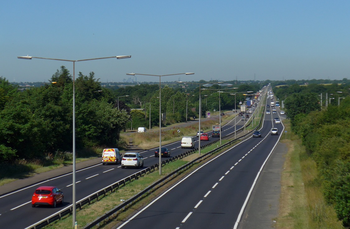
The first hour of the Essex section was noisy, with steady morning traffic on the A128. Heavy lorries, etc. The temperature was comfortable at about 22°C.
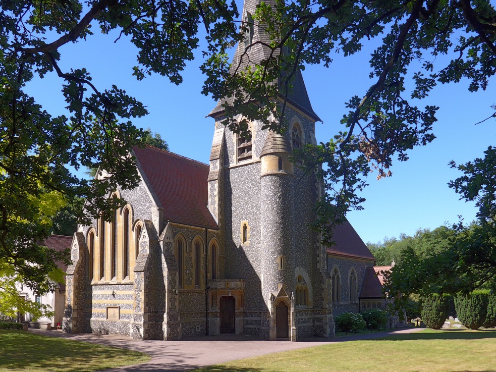
My route went right through the centre of Brentwood. Not knowing much about Essex, I had assumed this was a new town like so many other places there. But it turned out to be a well-established, attractive, leafy town. With quite a few mini-roundabouts!
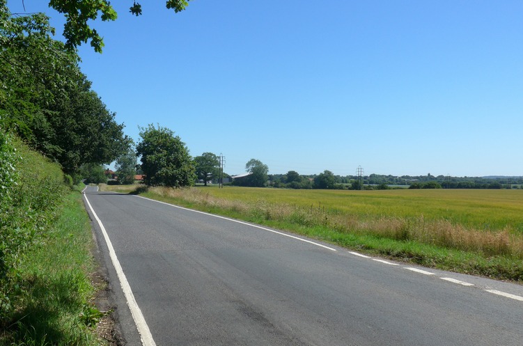
Shortly after that I was on quieter country lanes. Much more relaxed.
At one point I found myself approaching a bridge (crossing the road I was on) carrying a large amount of traffic. “That better not be the M25” I said to myself, thinking of my rule about not crossing it, and wondering if I had made a mistake with the route. Just then, my Garmin beeped at me to let me know that I had missed a turning a few hundred metres back up the road. Phew! That was close! I turned around and backtracked to the missed turn-off. My rule had not been broken! That trait of missing turn-offs was to be an annoying feature of this ride, occurring at least fifteen times today, caused by my new map in the Garmin sometimes being impossible to read – more about that later.
Dada Café, Epping. This was my first food stop. Luckily there was an outside table free as I rode up. This place is just perfect. I ordered scrambled eggs on toast and a black coffee. I was asked to take a seat. They didn’t ask what size or shape of coffee I wanted; there was no request for money up front. This was more in the European style. The service was excellent and with a smile. The coffee was superb. The scrambled eggs on toast was the best I’ve ever had, served with a delicious side salad with spinach and small red peppers and balsamic vinegar. I was even given a glass of water to go with it. I love this place and would recommend it to anyone. They topped up one of my bidons before I set off on the next part of the journey.
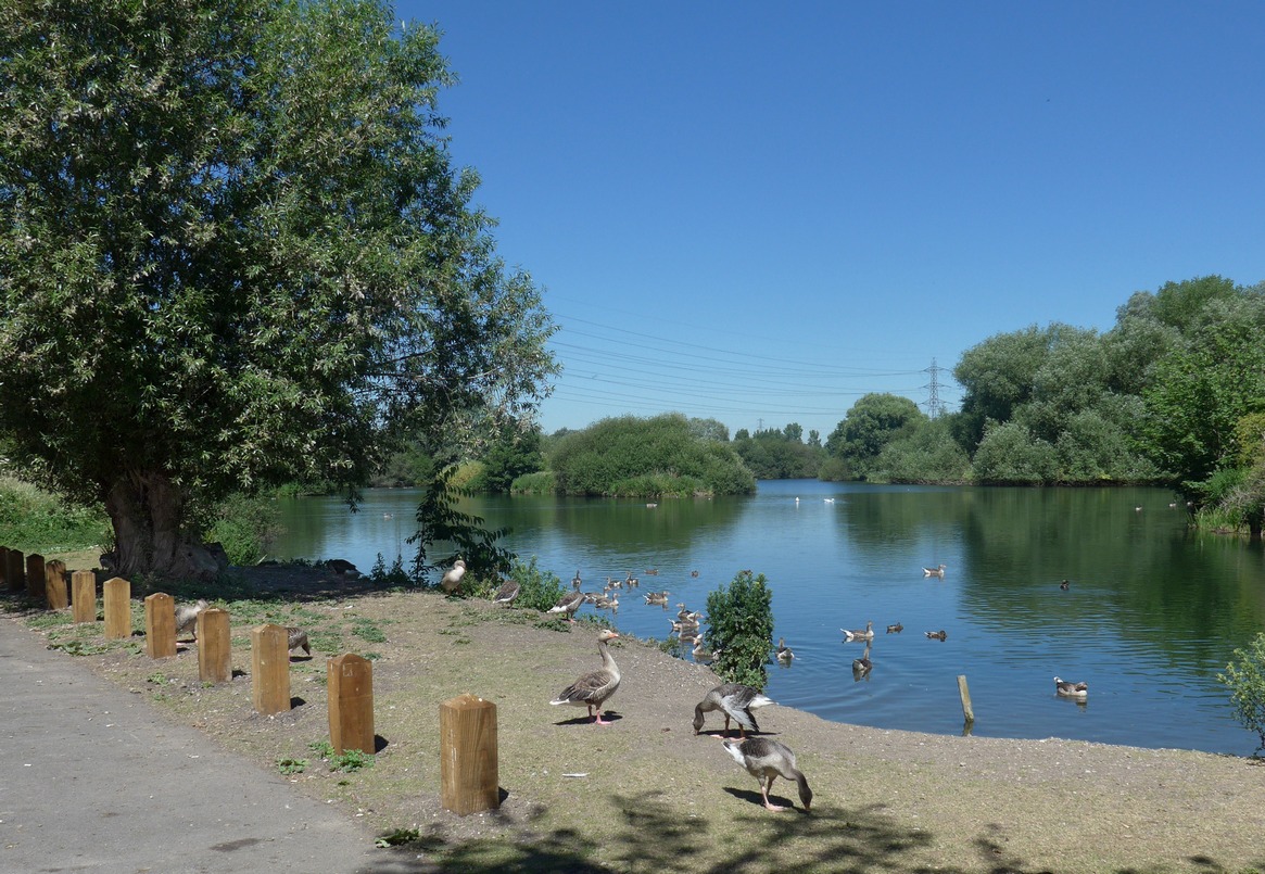
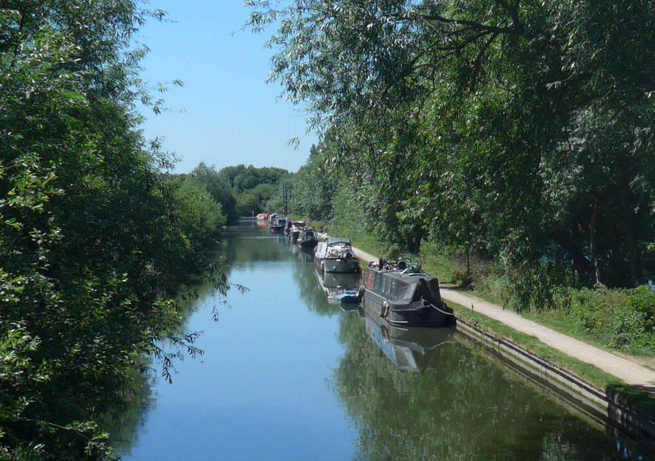
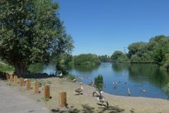
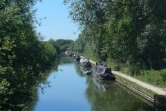
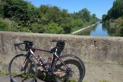
Lee Valley Regional Park. Ten miles after Epping came the LVRP. There was a nice cycle path right through the middle of it.
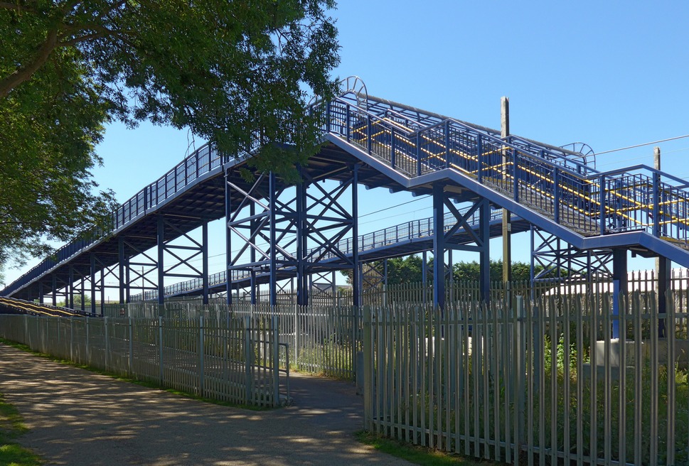
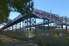
That last photo is not some sort of theme park ride, but merely a foot/cycle bridge over the railway. Why it has to be so high I’m not sure. And surely a spiral design would have saved space and steel? The ramps were so long that my Garmin thought I was off-course at either end of them! Out of curiosity I just measured them on the map – it was 0.3 of a mile to get across the bridge!
The sun was now on my left, indicating that I was at 12 o’clock, if you imagine my route as a clock. Coincidentally that was the actual time.
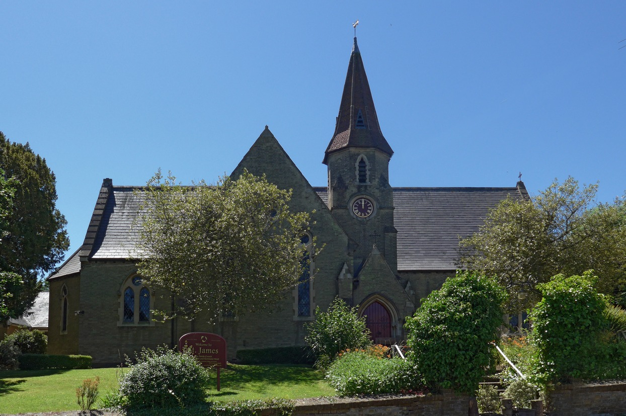
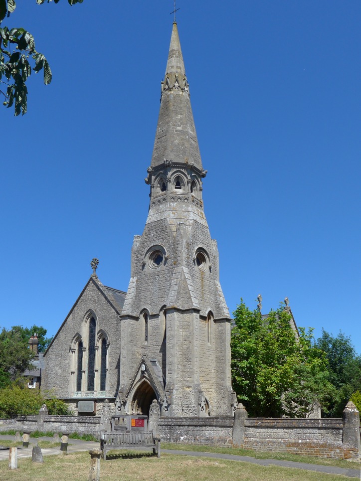
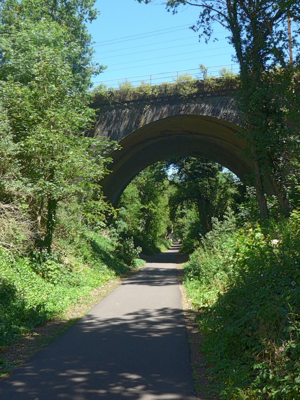
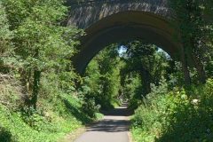
Next up was St. Albans, virtually all of which was spent on a bike path called The Alban Way, a trail for cyclists and walkers along the former route of the Hatfield to St Albans branch line of the Great Northern Railway.
My next food stop was supposed to be at Chenies, but five miles before that, at King’s Langley, I spotted a sandwich shop with some tables outside so I stopped there. Being a sandwich shop this was a far cry from Dada Café. I got a toasted cheese and onion sandwich, a huge polystyrene cup of instant coffee and a piece of caramel shortbread wrapped in clingfilm. I watched the King’s Langley world go by for twenty five minutes while I consumed it. By now the temperature must have been in the high twenties. I once again got a bidon topped up and carried onwards.
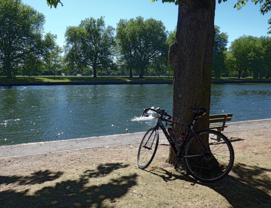
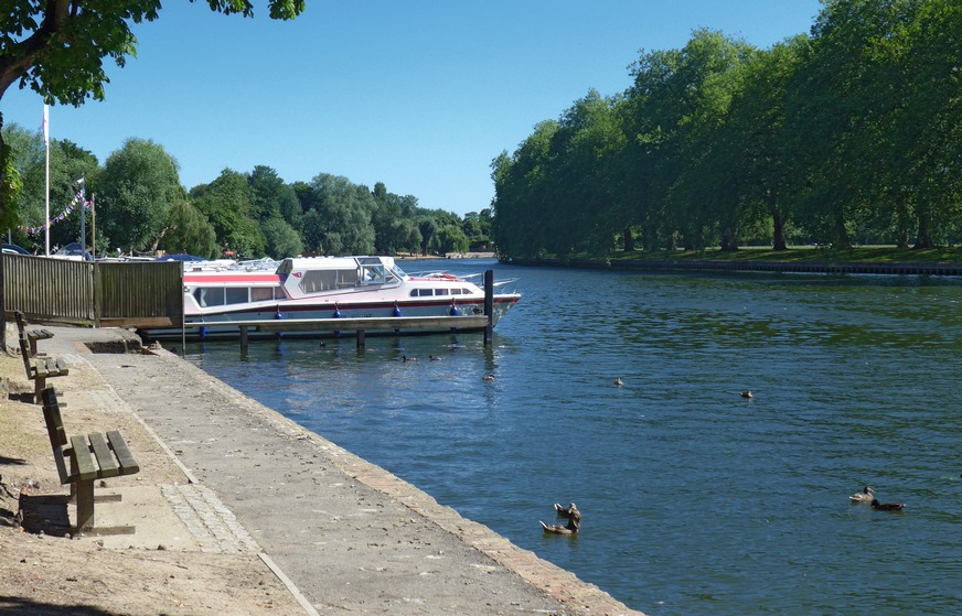
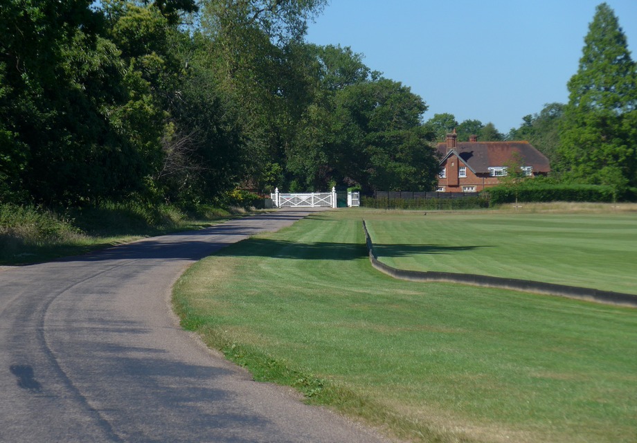
Windsor Great Park. The next thing coming up that I was aware of was Windsor Great Park, but I didn’t know how far it was to get there. First I had to get through the built up area of Staines. The heat was getting oppressive now and a chance to stop under the shade of trees by the banks of the Thames at Datchet proved too much to resist.
At this point I had cycled over 107 miles, so I was well beyond halfway. Twenty minutes later I was at the royal park. It was so hot now that I didn’t want to stop in the open to take photos.
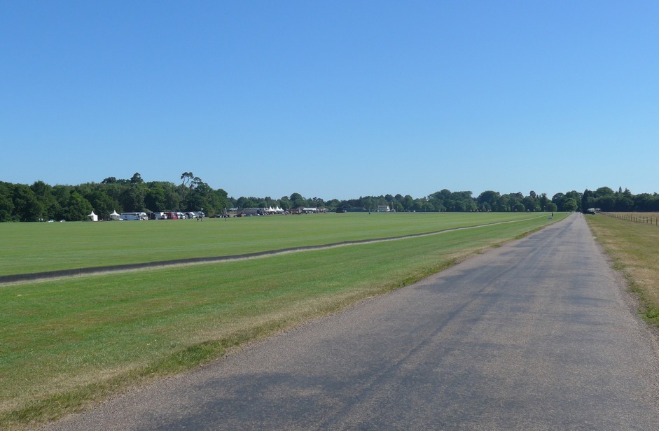
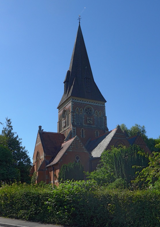
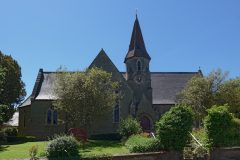
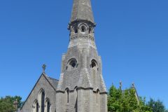
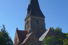
Shortly after leaving the park, in Sunningdale, I saw two ladies coming out of a nursery. It looked like they were leaving for the day. So I grabbed the chance of asking if they could top up my bidon. They didn’t understand my original request. I’m not sure what words I used but it was probably a load of gibberish. I probably sounded like someone stuck in the desert in an old western: “water….must….have….water..”. They understood on my second attempt. “Yes, of course!” “Would you mind topping both up?” I asked. “Of course. Would you like ice?” I laughed in astonishment. “That would be amazing, thanks”. While waiting, I looked around and behind me was another attractive church:
My bidons were handed back to me with ice-cubes rattling around inside. Excellent! Further along in Sunningdale I stopped to get some money out at an ATM. Right next door was a newsagents so I nipped in and bought a Twister ice lolly. I walked up the road to find some shade and revelled in its mouth-numbing coldness. The temperature now was really stifling.
Four miles further on was my third scheduled rest stop of the day at Pasha Café Bistro in Chobham. Another example of excellent service. The coffee was superb and the slice of white chocolate caramel shortbread was delicious. I asked the owner if he knew how far it was to Ranmore Common, but he, and his staff, had never heard of it. He offered to let me use ‘the laptop’ to search for it. That was a nice gesture. I sat at a table out the front and enjoyed my break. When I asked for my bidon to be topped up, he asked if I would like anything in it, “lime, perhaps?”. “Yes, thanks”. He cut a fresh lime and put the slice in the bottle. Nice!
Ranmore Common. This was the biggest ‘lump’ on the whole ride and sticks up like a sore thumb on the elevation profile.
 I knew it was coming up but didn’t know how far it was ahead. After leaving Chobham there was heavy slow-moving traffic for the next six miles or so. Progress was slow (although obviously a lot faster than being in a car!). At one point I drew up alongside another cyclist who had been threading his way through the cars. I asked him if he knew how far Ranmore Common was.
“About ten miles up the road”.
“Cheers. I was just wondering when to lob my energy gel”.
“I would wait until the next village. It’s a CAT 3 climb that rises slowly – you’ll do it OK if you’ve just ridden 125 miles”.
“OK cheers”.
For the next few miles I was wondering how steep a CAT 3 was. I knew it wasn’t too bad, but anything at this stage could be a challenge.
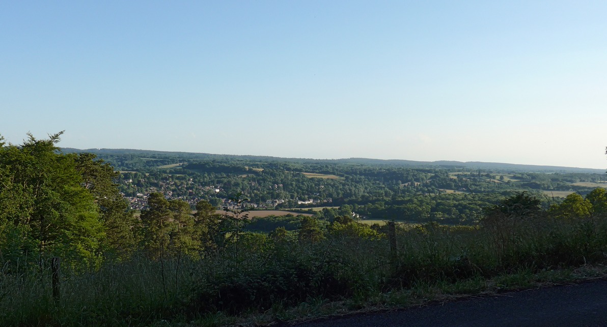
His estimate was wrong. Six miles later I turned into Crocknorth Road. I recognised the name. This is it! I saw the staggered fence panels on the right of the road that I had spotted on Google Street View when I had checked it out the day before. They are one of the few visual clues to the gradient. It varies from about 11% to a max of just over 15%. The bulk of it is over in about half a mile, just under five minutes. I didn’t find it too bad. I had been dreading that I might overheat on the climb, but that didn’t happen. Up on the common, for the first time I felt that the day was cooling slightly. It was about seven o’clock. After four miles across the top came the descent, which I’m sure would normally be pure pleasure, but there was lots of traffic. At one point the trees on my right gave way to an amazing view over Westcott, and I instinctively stopped to get a picture. I would liked to have crossed the road for a better view, but there was an incessant stream of cars, so I just grabbed a shot and carried on.
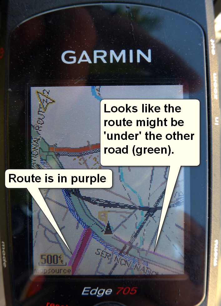
Once I got going again the traffic had cleared and I was enjoying a nice descent when a rider coming up the hill warned me of gridlock further down. I took it easy and eventually met the tail end of the queue. I was able to slowly thread my way through the jam and into Dorking. Not for the first time I looked at my Garmin and couldn’t make out which way the route went. This time I even stopped and put on my reading glasses:
Even with my glasses on I could not tell where it went. On the photo above you can see the merest slither of purple under the green road – but I couldn’t see that in the blazing sunshine. Luckily I knew that the route eventually ended up on the A25 so I just followed signs and kept on that road.
The A25 was one long queue of very slow moving traffic for the next eight miles to Redhill. I was able to ride down the side of it mainly, but that was still slow. Since coming down from the common I felt that the temperature had crept up again – or it could have been all the cars, or the drivers’ hot tempers generating the heat!
Once through Bletchingly I turned off onto more minor roads. That came as a great relief, not least because I was now on roads that I actually recognised, having included them in at least a few rides. It was now ten past eight and I had covered 150 miles with ‘only’ 30-odd to go. Now the light was gradually fading and I did at last feel some cooler air on me.
I’m not sure when it started but I had begun to feel sick and it seemed to be made worse every time I took a swig of water. There was another food stop scheduled, but I was in too much of a rush now to get home so I skipped it. At one point I stopped and ‘forced’ half a fruity energy bar down, but that was difficult. Later I had my last gel – that went down easier. I stopped drinking water and used it merely to wet my mouth.
I made quite good progress over the remaining two hours of the ride. At one point I saw a sign that said “Tonbridge 9 miles”. That was a relief as I felt I was really getting on to home territory. Although not tired, leg-wise, I began to feel more and more sick and I was mentally drained. The last hour was a real challenge to keep going. At least I knew the way and could just keep slogging away at it without having to think about it. By now it was almost dark. I had both lights on. I left my sunglasses on until the last moment because I could feel lots of flies and things bouncing off me and I didn’t want anything going in my eyes.
I got a PR on a climb out of Tonbridge so I still had something left in the tank! When I got home I felt bad. I felt like I was going to either throw up or pass out. I didn’t know if milk, my recovery drink of choice, would make me feel sick. Luckily it didn’t – I drank two and a half pints. I would have had more but I had drunk it all! Within an hour or so I was feeling much better. I’m guessing that the heat of the day combined with the effort had had quite an effect on me.
Looking at my arms and legs it looked like I had got quite a good tan – I’m sure I did to some extent, but most of the effect was due to grime! I was covered. If I ran a finger across my face there was a layer of gritty grime, like I had been on the beach all day. I guess it was a mixture of general pollution from the busy roads and dust coming off the fields. Whatever it was, some of it must have gone onto my lungs – after all I was breathing the same air. And I had sort of lost my voice a bit, so maybe it was due to that!
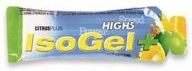
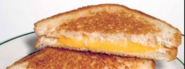
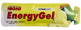
Fuel:
Ride notes
Battery back-up for Garmin
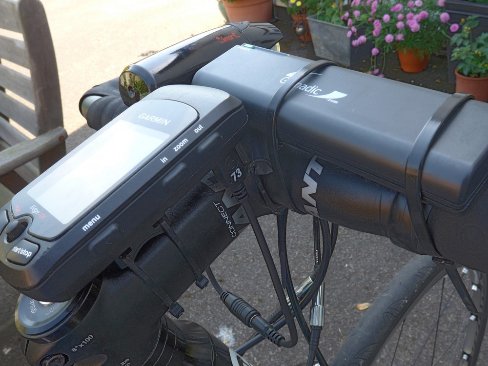
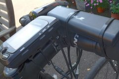
Although I didn’t ultimately need it, I recently bought a Gomadic AA-powered battery pack to power the Garmin if its own internal battery ran out like it did on the audax.
In the photo you can see the Gomadic cable-tied to the bars and plugged in to the underside of the Garmin (where it says ’73’). This meant moving the Garmin further back than I would have liked. I have since ordered a right-angled usb plug so it doesn’t force the Garmin over to one side. An annoying effect of the Gomadic is that the batteries are continually rattling in their holder – I should be able to fix this with some sort of padding inside the unit.
Tubes for 28mm tyres
I usually use Continental inner tubes, but they don’t do a light one for 28mm tyres. I found that Schwalbe do a tube that fits between 18 – 28 mm tyres. I used them on this ride and they seem OK, although it seems that the front one might need frequently topping up (eg every couple of days), in the same way that tubs or latex tubes do. No biggie as long as they last a decent ride, and today’s was surely decent! Update (16/7/15): The front one started leaking more and more – turned out to be leaking from the valve. It may have just needed tightening but I took no chances. I took the valve core out and wrapped a small strip of PTFE tape around the thread (being careful to keep it away from the valve itself) and reinserted and tightened firmly. It’s now OK, so the Schwalbe tubes seem OK.









Another epic ride Vince, good work!
Cheers Ben!
Nice going. I’m going to do this next year once we get back to longer days.
Thanks for your comment Brian. I keep saying I’ll do this one again. Maybe next year! You need as much daylight as you can get, so June is best. I would like to do it clockwise but would then miss the last ferry. Anyway, good luck if you do it!